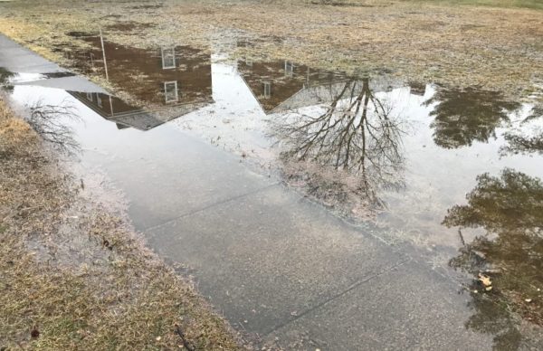
Arlington and parts of the D.C. area are under a Flood Watch starting 7 p.m. Saturday.
The National Weather Service says repeated bouts of moderate-to-heavy rain may cause flooding along streams and low-lying areas.
More from NWS:
A Flood Watch has been issued across much of our region starting this evening and continuing through Sunday evening. Repeated rounds of heavy rain may lead to flooding. Please keep aware of the weather tonight through Sunday night; flood warnings may be necessary. pic.twitter.com/qychEKni4W
— NWS DC/Baltimore (@NWS_BaltWash) February 10, 2018
Rain has overspread the region and periods of rain will affect the region through the remainder of the weekend. Some locations will see in excess of 2". A Flood Watch remains in effect for portions of the area. pic.twitter.com/CPpZO6wD8F
— NWS DC/Baltimore (@NWS_BaltWash) February 10, 2018
…FLOOD WATCH REMAINS IN EFFECT FROM 7 PM EST THIS EVENING THROUGH SUNDAY EVENING… THE FLOOD WATCH CONTINUES FOR * PORTIONS OF MARYLAND, THE DISTRICT OF COLUMBIA, VIRGINIA, AND WEST VIRGINIA… A SLOW MOVING FRONT WILL LEAD TO MULTIPLE ROUNDS OF MODERATE TO HEAVY RAINFALL FROM THIS EVENING THROUGH SUNDAY EVENING. WIDESPREAD RAINFALL AMOUNTS OF 1.5 TO 2 INCHES ARE LIKELY, WITH LOCALIZED AMOUNTS UP TO 3 INCHES POSSIBLE. * HEAVY RAIN MAY LEAD TO FLOODING OF STREAMS AND SOME RIVERS. HIGH WATER MAY ALSO DEVELOP IN LOW-LYING AND POOR DRAINAGE AREAS. PRECAUTIONARY/PREPAREDNESS ACTIONS… A FLOOD WATCH MEANS THERE IS A POTENTIAL FOR FLOODING BASED ON CURRENT FORECASTS. YOU SHOULD MONITOR LATER FORECASTS AND BE ALERT FOR POSSIBLE FLOOD WARNINGS. THOSE LIVING IN AREAS PRONE TO FLOODING SHOULD BE PREPARED TO TAKE ACTION SHOULD FLOODING DEVELOP. &&


