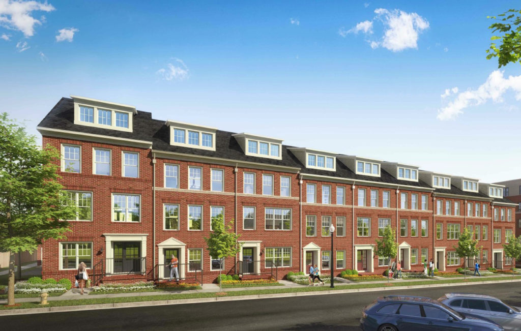
The Arlington County Board has approved a site plan that would bring 97 affordable housing units and two rows of townhouses to Buckingham.
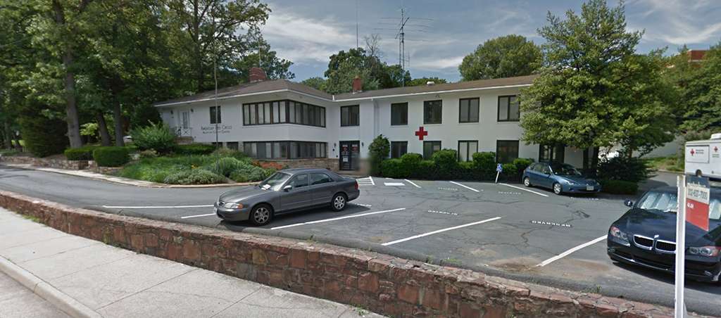
The “100 percent affordable” multi-family building and townhouses will replace the former local Red Cross headquarters.
The approved development comes despite complaints from nearby residents about the proposal. The new development’s density, potentially increased traffic, and “the desecration of the tree canopy” were all cited as dealbreakers for some locals, though supporters asserted that the building was vacant, the affordable housing is “badly needed” and complaints were overblown.
A partial rezoning of the site was approved alongside the site plan at Saturday’s County Board meeting (April 21). There are currently two single family homes on the site, in addition to the former headquarters and an existing playground.
The townhouses will be built in the first phase of the project, with construction on the multi-family building, which is required to “achieve Earthcraft Gold or LEED v4 Homes and Multifamily Midrise Gold certification,” following in a second phase.
The developer, Wesley Housing Development Corporation, agreed to preserve the on-site apartments, known historically as the Windsor Apartments but now called the Whitefield Commons, which the county says were built in 1943. Unit incomes will average 80 percent of the average median income, and the building will average 60 percent of that figure.
Whitefield Commons’ interior will be reconfigured to add five units, bringing the total units inside that complex to 68. The multi-family building will have 97 units, and the townhouses will have 19.
There will be 187 parking spaces between the developments — 45 at Whitefield Commons, 88 at the multi-family building, and 42 for the townhouses. The townhouses have the highest parking ratio per unit, at 2.26 spots per unit plus four visitor spots.
Wesley Housing Development Corporation will be required to “encourage transportation alternatives.”
That will be done via a transportation management plan, which includes a provision to give “each new tenant in the multi-family building… a choice of a SmartTrip card preloaded with a $65 balance or a bikeshare or car share membership,” according to a county project website.
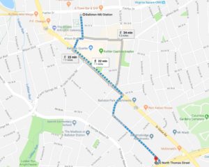
A Google Maps estimate shows that the site is approximately a 22 minute walk to the Ballston Metro station. The 3.95 acre parcel is bordered by N. Thomas and N. Trenton streets, 2nd Road N., and Arlington Boulevard.
Plans estimate that 60 trees will be removed, three of which are dead or dying and another 17 of which are located on top of or near an existing storm pipe.
An estimated 132 tree credits will be granted, according to the site plan. One credit is given for each planted shade tree or large evergreen tree, or for every three deciduous, ornamental, or small evergreen trees.
Map via Google Maps


