Update at 5:25 p.m. — It’s “too early to tell” whether a disaster declaration will be made due to the extensive damage from today’s flooding, an Arlington County spokeswoman tells ARLnow.com.
Per Arlington’s Office of Emergency Management:
Arlington County continues to work with state and local partners to assess the damage from today’s storms. Detailed damage assessments, especially for roadways and bridges, will take additional time as crews continue to assess impacts. Arlington PSCEM is in contact with VDEM and FEMA Region III and working to assess what assistance, if any, is available to our residents from state and federal programs.
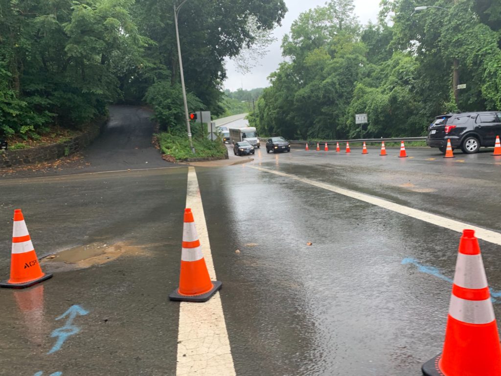
Update at 5:20 p.m. — Chain Bridge has reopened.
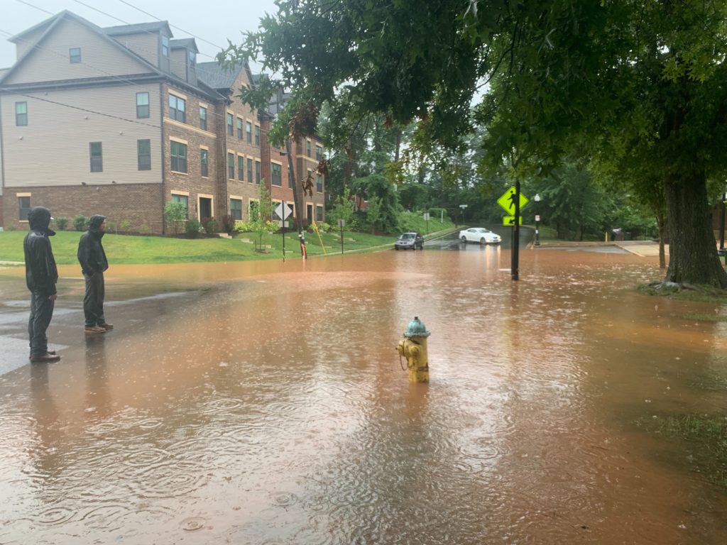
Update at 4:25 p.m. — In Westover, a portion of 18th Street N. is closed due to the roadway being damaged by flooding. In High View Park/Hall’s Hill, a portion of 20th Street N. is closed at N. George Mason Drive for road repairs.
Due to surface damage from today's flooding in Westover, 18th Street North is closed for repairs between North Lexington Street and North McKinley Road. #vatraffic https://t.co/AR4VZCOl2E pic.twitter.com/K2wlcs7NCl
— Arlington Department of Environmental Services (@ArlingtonDES) July 8, 2019
Update at 3:45 p.m. — Today’s event was classified as an “extraordinarily dangerous” Flash Flood Emergency by the National Weather Service. An NWS official said it was the first Flash Flood Emergency for Arlington and D.C. since the agency started using the classification in 2011.
Canal Road NW in D.C., meanwhile, will remain closed between Chain Bridge and Foxhall Road during the afternoon rush hour, officials said.
Update at 3:30 p.m. — A number of businesses in Westover Village are closed following this morning’s flooding.
Updated at 3:15 p.m. — Video posted to social media shows major flooding this morning in the area of 33rd and 34th streets at N. Kensington Street, several blocks from Yorktown High School. At least one home was reported to have been evacuated while several homes were damaged by floodwaters that reached mid-way up a front door.
Houses flooded in N Arlington. Fire department here to shut off gas and power. Neighbors evacuated and are safe! @fox5dc @fox5weather @TuckerFox5 @nelsonjwttg5 @Fox5Shawn pic.twitter.com/Sn6BG8X2oq
— social distancing hill⚡️ (@hillmacmagill) July 8, 2019
Another video posted to Twitter shows flooding in the Waycroft-Woodlawn neighborhood.
Our front yard during the flash flooding this morning in the Waycroft Woodlawn neighborhood of Arlington, VA. @capitalweather pic.twitter.com/oOZVlKqevn
— Liz Spangler Jones (@lizspangler) July 8, 2019
Update at 3 p.m. — Flooding has prompted the Unitarian Universalist Church of Arlington to cancel all events and activities, the church said via Twitter.
The GW Parkway has reopened near the airport after it was closed due to flooding.
The Cherrydale Branch Library is closing early due to “power issues.” Dominion is currently reporting 434 customers without power in Arlington, mostly in and around Rosslyn.
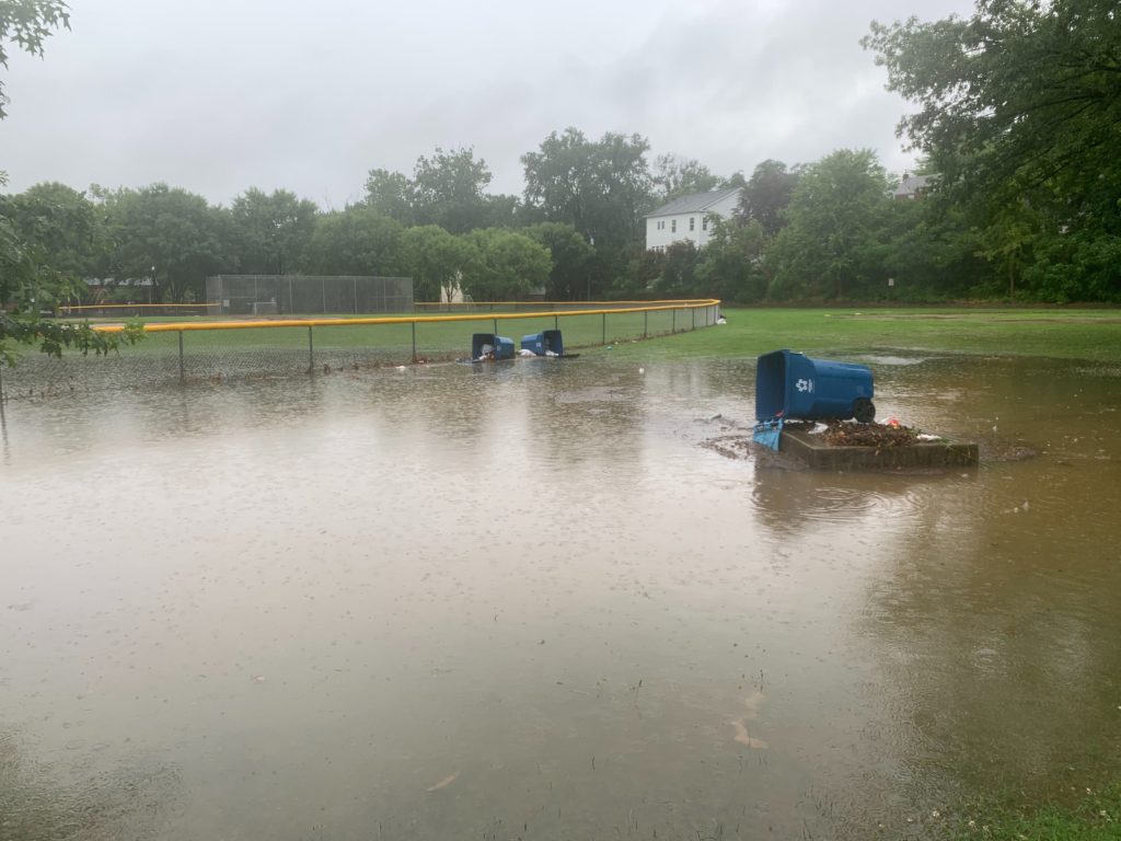
Update at 2:15 p.m. — Arlington’s Solid Waste Bureau says it will help residents track down waste carts the floated away during this morning’s rain and flooding.
As a result of today's flooding, the Solid Waste Bureau will be tracking down missing carts to return them to their proper residences. Please refrain from submitting lost cart requests before noon Wednesday, July 10. https://t.co/WWY66ITtC1
— Arlington Department of Environmental Services (@ArlingtonDES) July 8, 2019
Update at 1:05 p.m. — Video (below) shows flooding in the Westover Market and its attached, outdoor beer garden.
Westover Beer Garden this am. @ARLnowDOTcom @VaDOTNOVA @washingtonpost pic.twitter.com/acPAV7tqPU
— Paulo Mendes (@Paulojmendes1) July 8, 2019
Update at 1 p.m. — “As flood conditions continue, please be safe and avoid standing and moving water,” writes Arlington County Board member Katie Cristol. “As the weather moves on, you can find more resources about cleanup, protection and water damage at https://emergency.arlingtonva.us“
Meanwhile, WAMU is reporting extensive flooding in Arlington’s Waverly Hills neighborhood. And a Flood Warning has been issued for Arlington until 6 p.m., replacing the earlier Flash Flood Warning.
The National Weather Service in Sterling Virginia has issued a
* Flood Warning for… The City of Fairfax in northern Virginia… Arlington County in northern Virginia… The City of Falls Church in northern Virginia… Fairfax County in northern Virginia… The City of Alexandria in northern Virginia…
* Until 600 PM EDT.
* At 1252 PM EDT, reporting gauges indicate larger streams are still rising from the earlier torrential rain, and many road closures
are still being reported. Although the threat of rapid rise life threatening flooding is diminishing, some flooding is likely to continue for the rest of the afternoon. Therefore, this FloodWarning replaces the Flash Flood Warning.
* Some locations that will experience flooding include… Arlington, Alexandria, Reston, Annandale, Springfield, Herndon, Fairfax, Fort Hunt, Vienna, Groveton, Falls Church, Huntington, Lowes Island, Mantua, Fort Belvoir, Pimmit Hills, McLean, American Legion Bridge, Reagan National Airport and Rosslyn.
PRECAUTIONARY/PREPAREDNESS ACTIONS…
Turn around, don’t drown when encountering flooded roads. Most flood deaths occur in vehicles.
A Flood Warning means that flooding is imminent or occurring. All interested parties should take necessary precautions immediately.
Update at 12:35 p.m. — Route 110 is being opened back up, per scanner traffic.
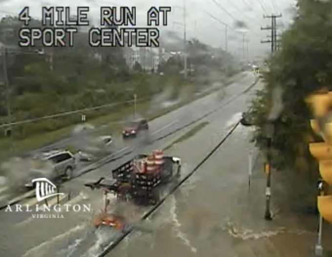
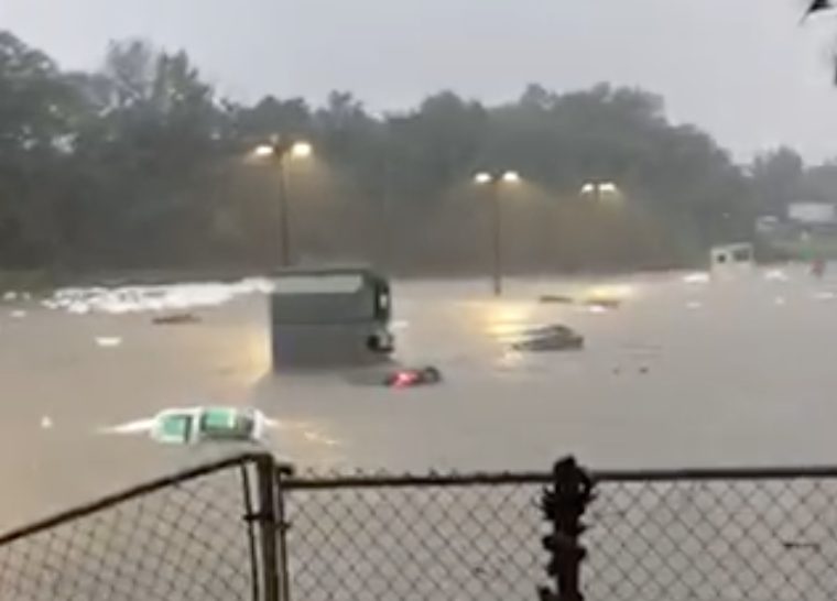
Video sent to ARLnow shows a parking lot at Marine Corps base Henderson Hall completely flooded. Also, videos posted to social media (below) shows raging waters along Four Mile Run creek near the Shirlington dog park and along N. Kirkwood Road at the height of the storm.
Shirlington dog park area this AM!! @capitalweather #Arlington #FlashFlooding pic.twitter.com/DsvXAVJomE
— Carolynn Kane (@KaneCarolynn) July 8, 2019
Crazy flooding this morning @ARLnowDOTcom pic.twitter.com/tOFNHZzM8H
— Gavin Proffitt (@_g_proffitt) July 8, 2019
And this is why it took me almost 3 hours to get to work on Rt. 110. Stay safe drivers. Watch @ABC7News for what you need to know for the rest of the day. pic.twitter.com/XnWXXkLtTS
— Kelly Lamp (@KELLYWAZ) July 8, 2019
Update at 12:15 p.m. — “Crews continue to inspect storm drains for blockages but many lines remain over capacity because of stream water levels,” says Arlington’s Dept. of Environmental Services.
Update at 12:10 p.m. — Flooding along Lubber Run may have washed out a pedestrian bridge, per a social media post.
— Brandon J⭕️nes (@btj) July 8, 2019
Also per social media, debris and floodwaters have blocked the Four Mile Run trail near Shirlington.
@weatherchannel @ARLnowDOTcom Four mile run at Glebe Rd., Arlington, Va pic.twitter.com/65fvGM1kvV
— eliz g. (@elizg23) July 8, 2019
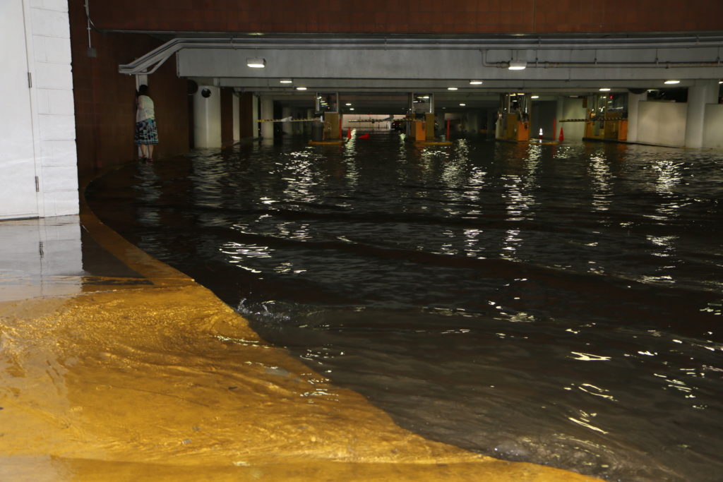
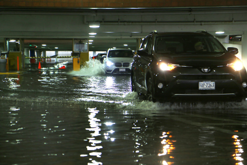
Update at 12 p.m. — In addition to flooded basements, high standing water has been reported in a number of parking garages — including the Ballston Quarter parking garage and a garage used by Arlington County Police.
Chain Bridge remains closed at N. Glebe Road, with traffic being diverted onto Chain Bridge Road. Citing broadcast media, the National Weather Service reports major flooding along Canal Road:
NUMEROUS VEHICLES SUBMERGED ON CANAL ROAD NW NEAR FLETCHERS COVE BOATHOUSE. DRIVERS STRANDED ON VEHICLE ROOF TOPS, SOME SWAM TO SAFETY, AND OTHERS WERE ESCORTED TO SAFETY BY DC FIRE AND EMS.
More rain looks to be on the way, but we should start drying out later this afternoon.
Video posted to social media, meanwhile, shows a significant roof leak in the Virginia Square Metro station.
The leak appears to be spreading in the few minutes I was watching. pic.twitter.com/0haFk7P1Ov
— Niina H. Farah (@niina_h_farah) July 8, 2019
Update at 11:35 a.m. — A trained spotter in the Westover neighborhood reports 4.5 inches of rainfall so far this morning, per the National Weather Service, while Reagan National Airport reports nearly 3.5 inches of rainfall.
Arlington’s Emergency Communications Center says it has received 600 calls since 8:40 a.m., including 25 water rescues in Arlington and 27 flooded buildings.
A Flash Flood Warning remains in effect for Arlington through 1:45 p.m.
ACPD Officers are hard at work addressing traffic complaints related to today’s storm. Remember: it is never safe to drive or walk into flood waters. pic.twitter.com/BUhhykt4CL
— ArlingtonCountyPD (@ArlingtonVaPD) July 8, 2019
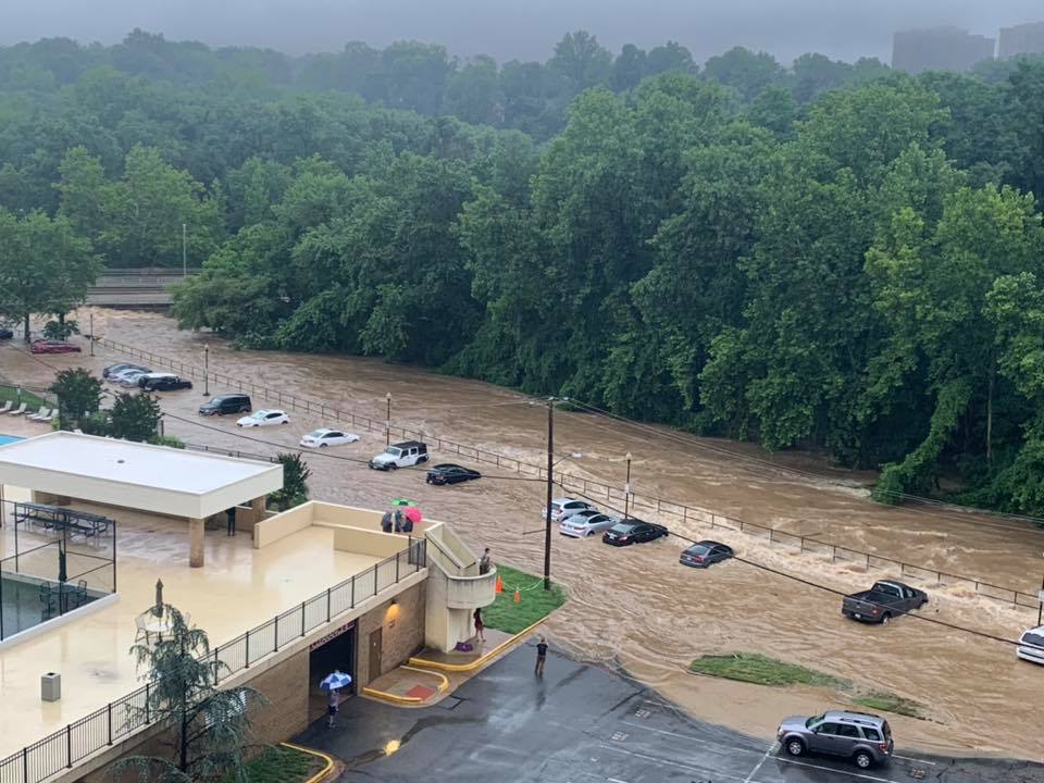
Update at 11:15 a.m. — Police and firefighters are continuing to respond to dozens of calls around Arlington following flash flooding of historic proportions. Across the county homes have been flooded, cars have been inundated and swept down roads, and first responders and citizens have been rescuing those stranded by rapidly rising waters.
Fairfax County has also been hard hit. The county reports more than 30 swift water rescues throughout the county.
The following incidents have been reported around Arlington over the past hour or so.
- Route 110 at Memorial Bridge — Very high standing water with multiple vehicles inundated and abandoned. Route 110 remains closed as of 11:15 a.m.
- 1200 block of N. Powhatan Street — Flooded basement in home near creek. One wall of the basement “imploded.”
- Washington Blvd at 27th Street N. — Vehicles floating down the street in floodwaters.
- EB I-66 at N. Sycamore Street and elsewhere — Roadway flooded, temporarily closed. Heavy traffic heading eastbound from Fairfax County.
- Route 50 between Washington Blvd and N. Glebe Road — Portion of roadway and ramps flooded. At least one water rescue.
- Columbia Pike at the Pentagon — Water rescue.
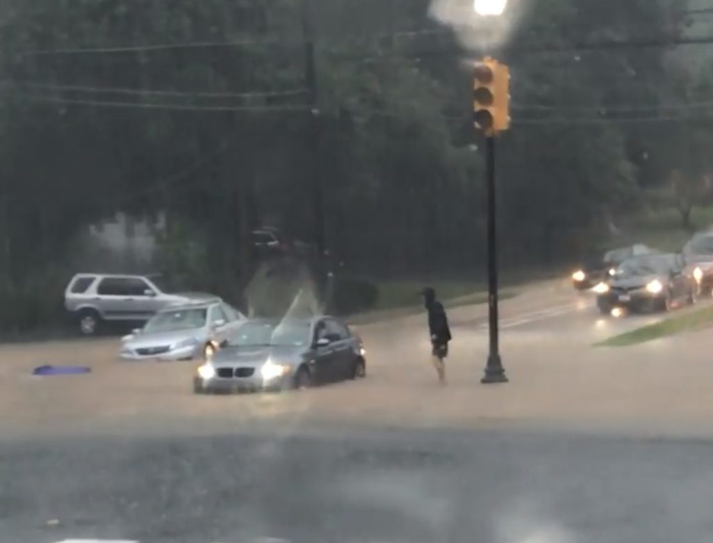
- Wilson Blvd and N. Manchester Street — A red BMW seen floating in floodwaters. Firefighters used a boat to rescue its occupant, as seen in the ACFD social media post below.
- N. Glebe Road at Chain Bridge — D.C. has requested that Chain Bridge be closed on the Arlington side.
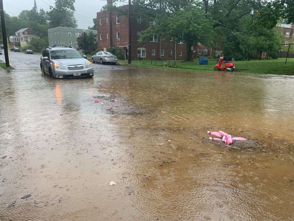
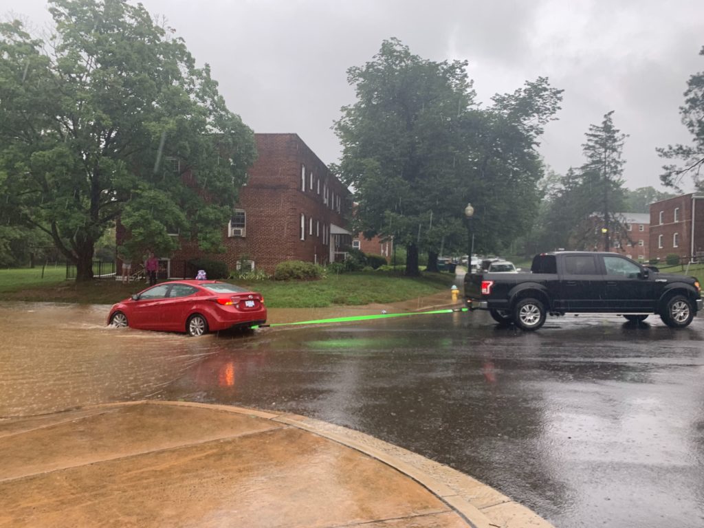
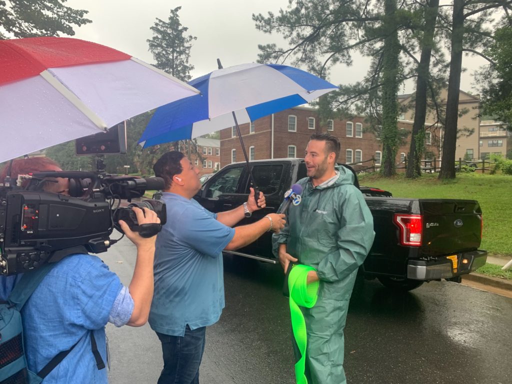
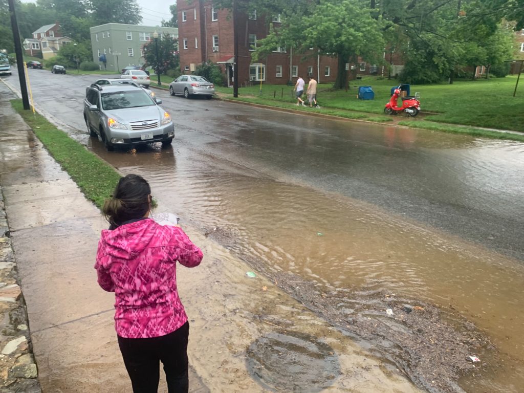
- N. Kennebec Street and 11th Street N. — Several vehicles flooded and disabled in the intersection. The driver of a pickup truck told ARLnow he was running an errand when he decided to cruise around and see if there was anyone in need of help; he encountered people stranded at the intersection and stopped to help.
- Custis Trail along I-66 — Major flooding and fast-moving water.
Update at 10:50 a.m. — First responders continue responding to numerous reports of flooded roads, disabled vehicles and flooded basements across Arlington.
Crews are making multiple water rescues across the county. The entire region is under a flash flood emergency. #turnarounddontdrown pic.twitter.com/7cTwVtRyeF
— Arlington Fire (@ArlingtonVaFD) July 8, 2019
@ARLnowDOTcom creek/bike path by Madison Manor park/66 right underneath Patrick Henry Drive. pic.twitter.com/35tYmL5dbj
— ThatGuy (@intiensity) July 8, 2019
@ARLnowDOTcom flooding on 26th and 28th St S. pic.twitter.com/xgaB3aWTHo
— Carlotta Bartolini (@cabartolini7) July 8, 2019
My husband texted from the Columbia Pike area. The car on the left is parked. @ARLnowDOTcom pic.twitter.com/3PG1M5TaKh
— Claudia Pors (@claudia_pors) July 8, 2019
#TurnAroundDontDrown not an option on I-66 in Arl. Construction closed off the shoulder. Nowhere to go but through feet-deep water. @nbcwashington pic.twitter.com/vz9y8V8M6v
— Heather O'Hara (@_heatherohara) July 8, 2019
@ARLnowDOTcom This lifesaver of a guy in yellow raincoat pulled the lady in the white car out of her car as water was up to her dashboard. pic.twitter.com/z1njr8lFMt
— JBurd (@jnburd) July 8, 2019
This car in Arlington was parked and quickly became submerged on Kennebec Street. The driver tried to move it but didn’t have enough time. No injuries reported but a dramatic example of flash flooding that took just seconds. @ABC7News @ABC7GMW pic.twitter.com/bPftPS7Qwx
— John Gonzalez (@ABC7John) July 8, 2019
Gutters Overwhelmed, Basement Flooded: Approx. 2.5 inches rain fell in one hour from 839 a.m. to 939 a.m. July 8 at my location in Arlington VA KVAARLIN139 @ARLnowDOTcom @capitalweather #dcwx #VAwx https://t.co/XZ9AfIvD3W pic.twitter.com/2surL03NsC
— Dennis Dimick (@ddimick) July 8, 2019
Update at 9:45 a.m. — Additional roadway flooding is being reported on Washington Blvd near N. George Mason Drive, Four Mile Run Drive near the Dept. of Motor Vehicles, 18th Street N. near Westover, and on I-66.
@ARLnowDOTcom flooding on N Thomas and 26th St pic.twitter.com/NHBf7aagz1
— Nick Johnson (@nickjwvu) July 8, 2019
Update at 9:30 a.m. — Other reports of flooded roadways include N. Edison Street near Virginia Hospital Center, the 5500 block of Columbia Pike and N. Glebe Road at Chain Bridge Road.
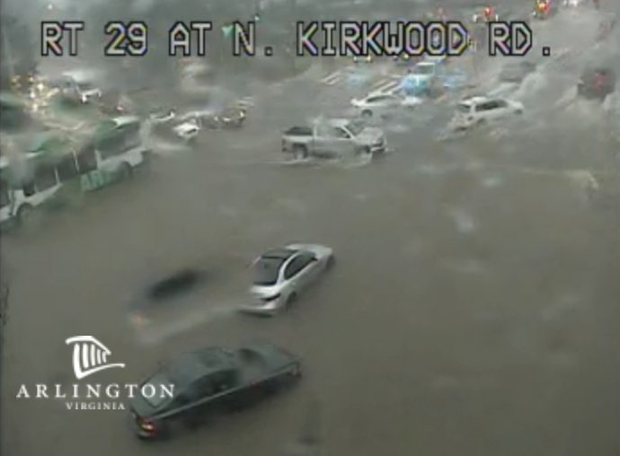
Update at 9:15 a.m. — The intersection of Lee Highway and N. Kirkwood Road is flooded and at least one person is reported to be trapped in a vehicle. The Giant parking lot near the intersection is also reported to be flooded. Separately, police are closing Kirkwood. Northbound Route 110 is also closed due to flooding. Firefighters are in the process of responding to multiple water rescue calls around Arlington, including at the intersection of N. Kennebec Street and 11th Street N.
Update at 8:50 a.m. — Numerous instances of high, rushing water on roadways and water rescues have been reported around Arlington and Fairfax counties.
Earlier: Mobile phones around Arlington just buzzed with a Flash Flood Warning for the county and surrounding areas.
Heavy rain could cause flash flooding in parts of Arlington, particularly around streams and low-lying areas. The warning — which includes most of Arlington, with the exception of some southern portions of the county — means that flooding is either imminent or occurring.
More from the National Weather Service:
THE NATIONAL WEATHER SERVICE IN STERLING VIRGINIA HAS ISSUED A * FLASH FLOOD WARNING FOR… THE NORTHWESTERN DISTRICT OF COLUMBIA… SOUTHERN MONTGOMERY COUNTY IN CENTRAL MARYLAND… EAST CENTRAL LOUDOUN COUNTY IN NORTHERN VIRGINIA… ARLINGTON COUNTY IN NORTHERN VIRGINIA… THE CITY OF FALLS CHURCH IN NORTHERN VIRGINIA… NORTHEASTERN FAIRFAX COUNTY IN NORTHERN VIRGINIA… * UNTIL 1045 AM EDT. * AT 745 AM EDT, DOPPLER RADAR INDICATED HEAVY RAIN ACROSS THE WARNED AREA. OVER ONE INCH OF RAIN IS EXPECTED IN LESS THAN 30 MINUTES, AND ADDITIONAL RAIN IS LIKELY AFTER THAT, WITH TOTALS UP TO THREE INCHES POSSIBLE. FLASH FLOODING IS EXPECTED TO BEGIN SHORTLY. * SOME LOCATIONS THAT WILL EXPERIENCE FLOODING INCLUDE… ARLINGTON, ALEXANDRIA, BETHESDA, RESTON, OLNEY, HERNDON, LANGLEY PARK, VIENNA, FALLS CHURCH, LOWES ISLAND, PIMMIT HILLS, POOLESVILLE, MCLEAN, AMERICAN LEGION BRIDGE, FORT TOTTEN, ROSSLYN, ASPEN HILL, POTOMAC, AND NORTH BETHESDA. PRECAUTIONARY/PREPAREDNESS ACTIONS… TURN AROUND, DON’T DROWN WHEN ENCOUNTERING FLOODED ROADS. MOST FLOOD DEATHS OCCUR IN VEHICLES. EXCESSIVE RUNOFF FROM HEAVY RAINFALL WILL CAUSE FLOODING OF SMALL CREEKS AND STREAMS, URBAN AREAS, HIGHWAYS, STREETS AND UNDERPASSES AS WELL AS OTHER DRAINAGE AREAS AND LOW LYING SPOTS. A FLASH FLOOD WARNING MEANS THAT FLOODING IS IMMINENT OR OCCURRING. IF YOU ARE IN THE WARNED AREA MOVE TO HIGHER GROUND IMMEDIATELY. RESIDENTS LIVING ALONG STREAMS AND CREEKS SHOULD TAKE IMMEDIATE PRECAUTIONS TO PROTECT LIFE AND PROPERTY. &&
Flash Flood Warning including Arlington VA, Silver Spring MD, Bethesda MD until 10:45 AM EDT pic.twitter.com/VQdgcD1vmw
— NWS Baltimore-Washington (@NWS_BaltWash) July 8, 2019
File photo


