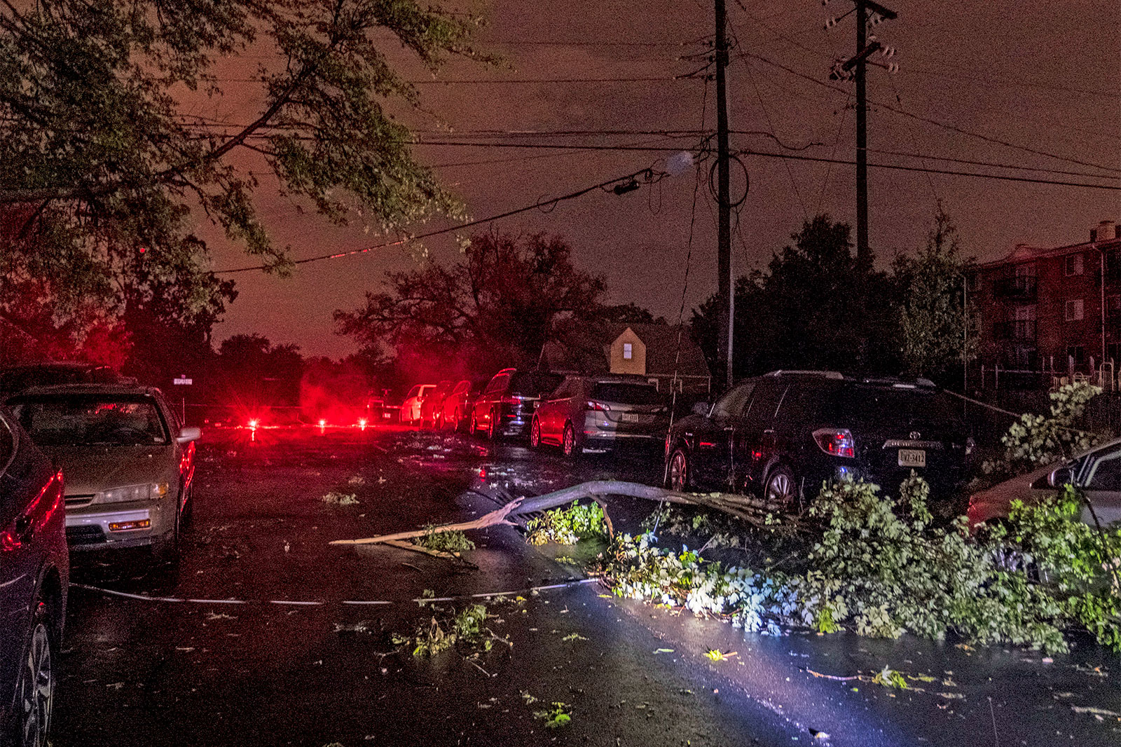
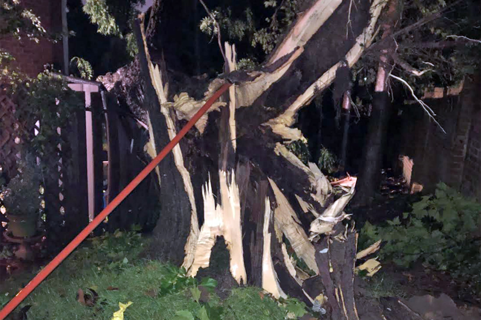
Update at 6 p.m. — A damage path that cut through several Arlington neighborhoods was from an EF1 tornado, as just confirmed by the National Weather Service.
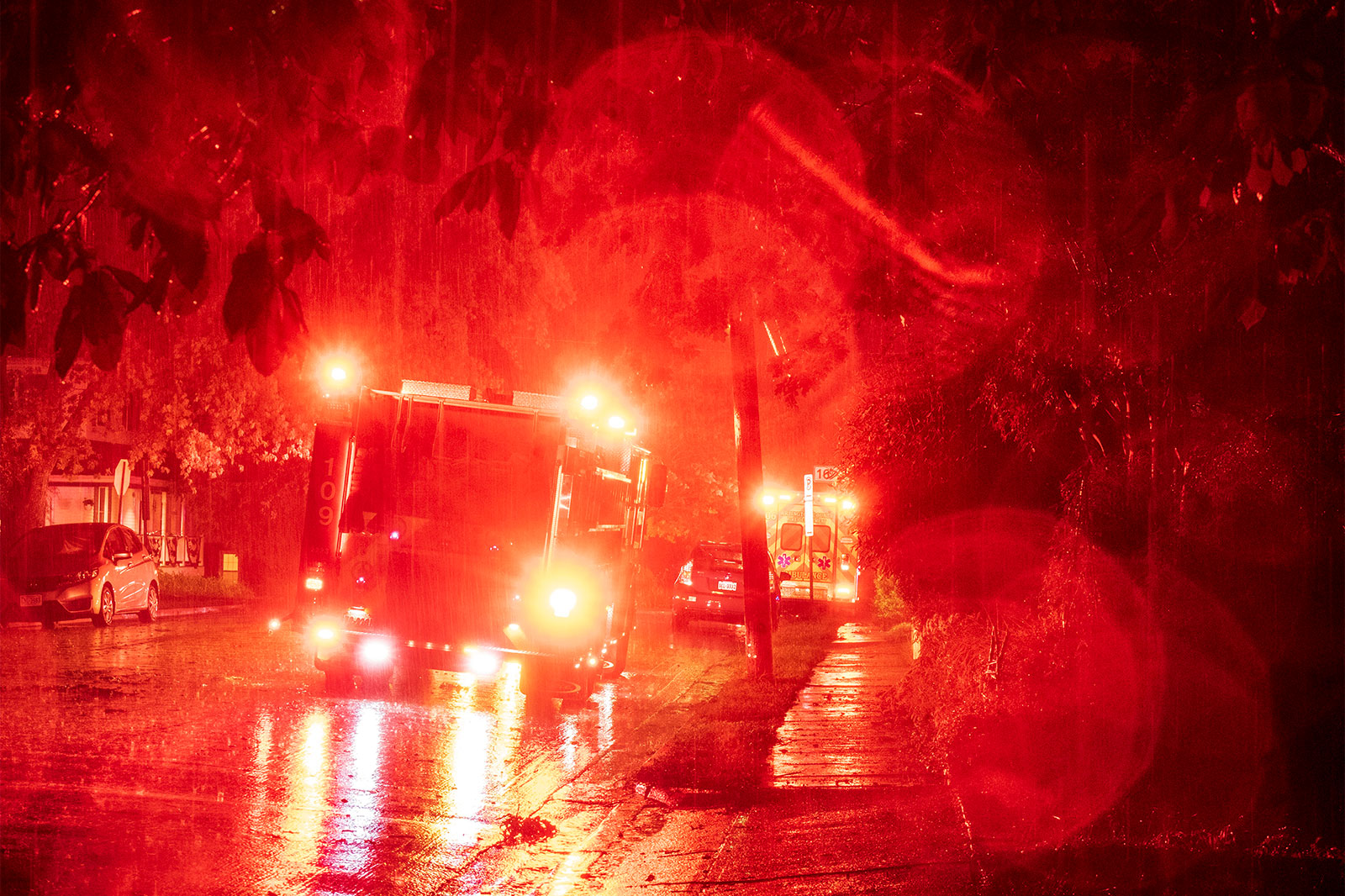
Earlier: The Arlington County Fire Department responded to “multiple calls for service” after a Tornado Warning was issued for parts of the county.
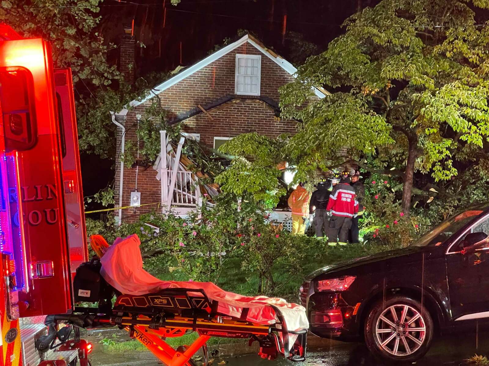
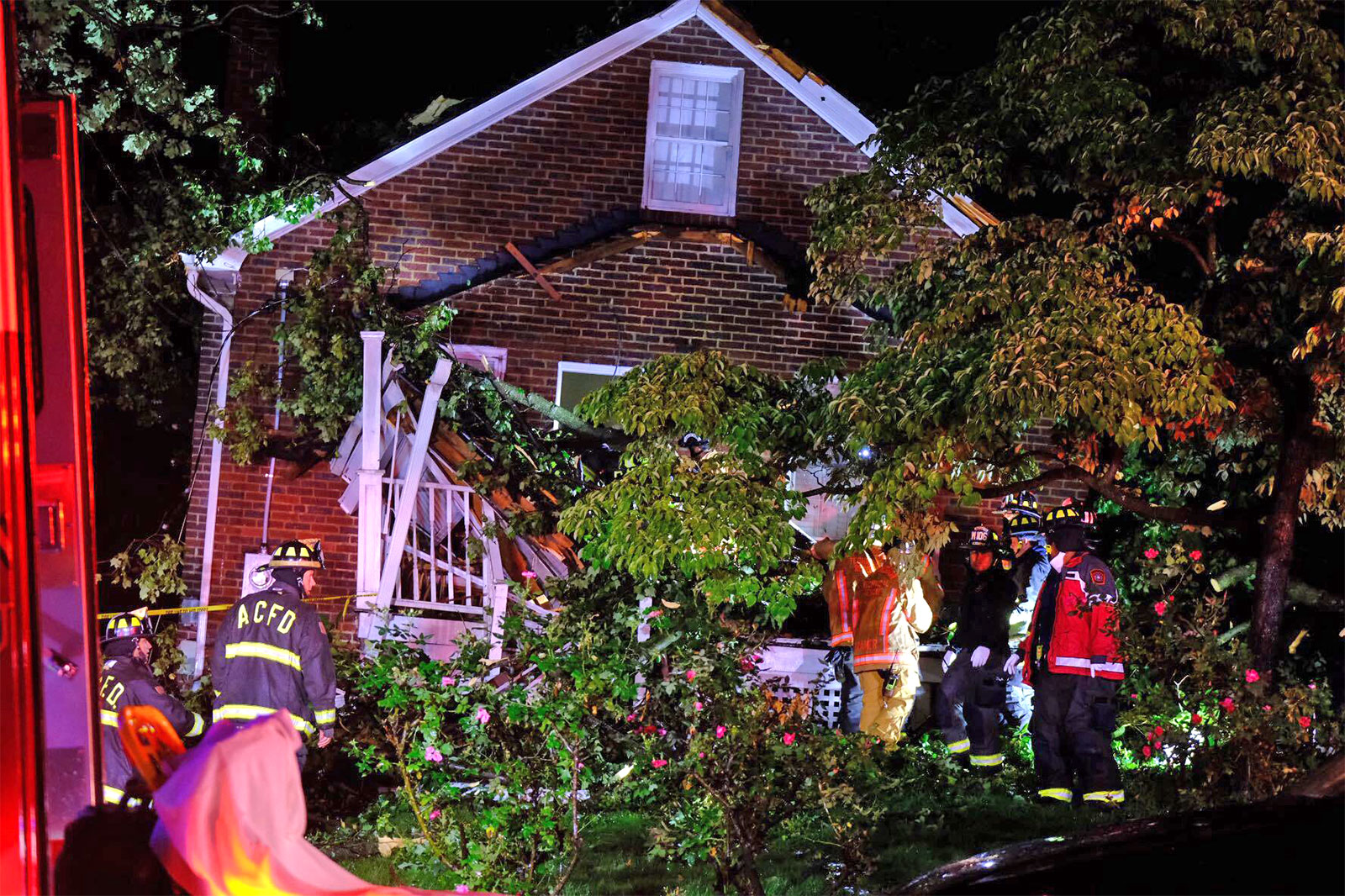
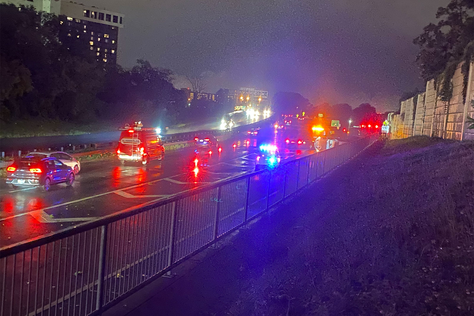
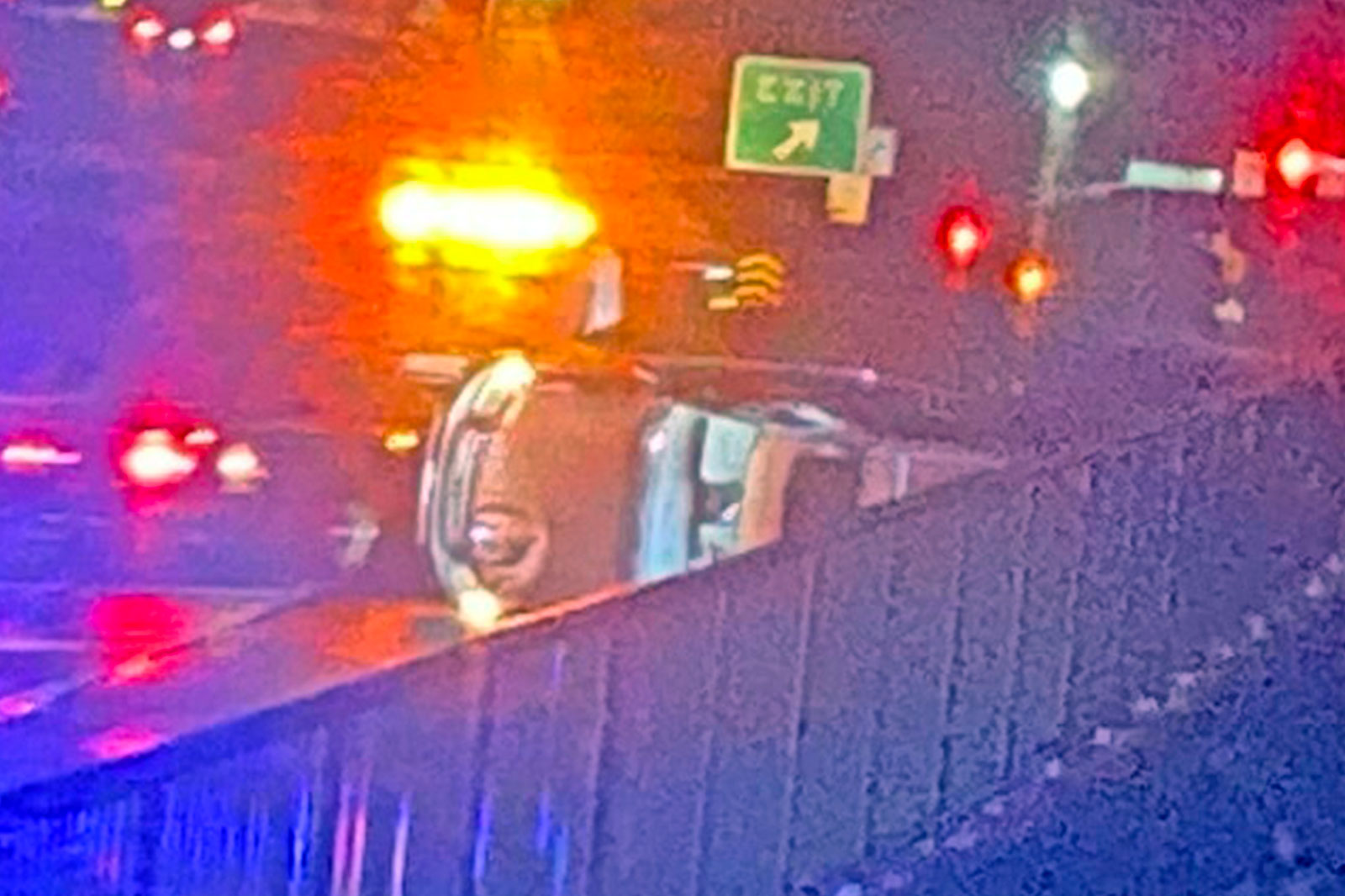
The fire department said shortly after 9 p.m. that it was swamped with calls and was “prioritizing life threatening emergencies.” Among the most serious calls were a man trapped after a tree fell on his house and an overturned vehicle near Columbia Pike.
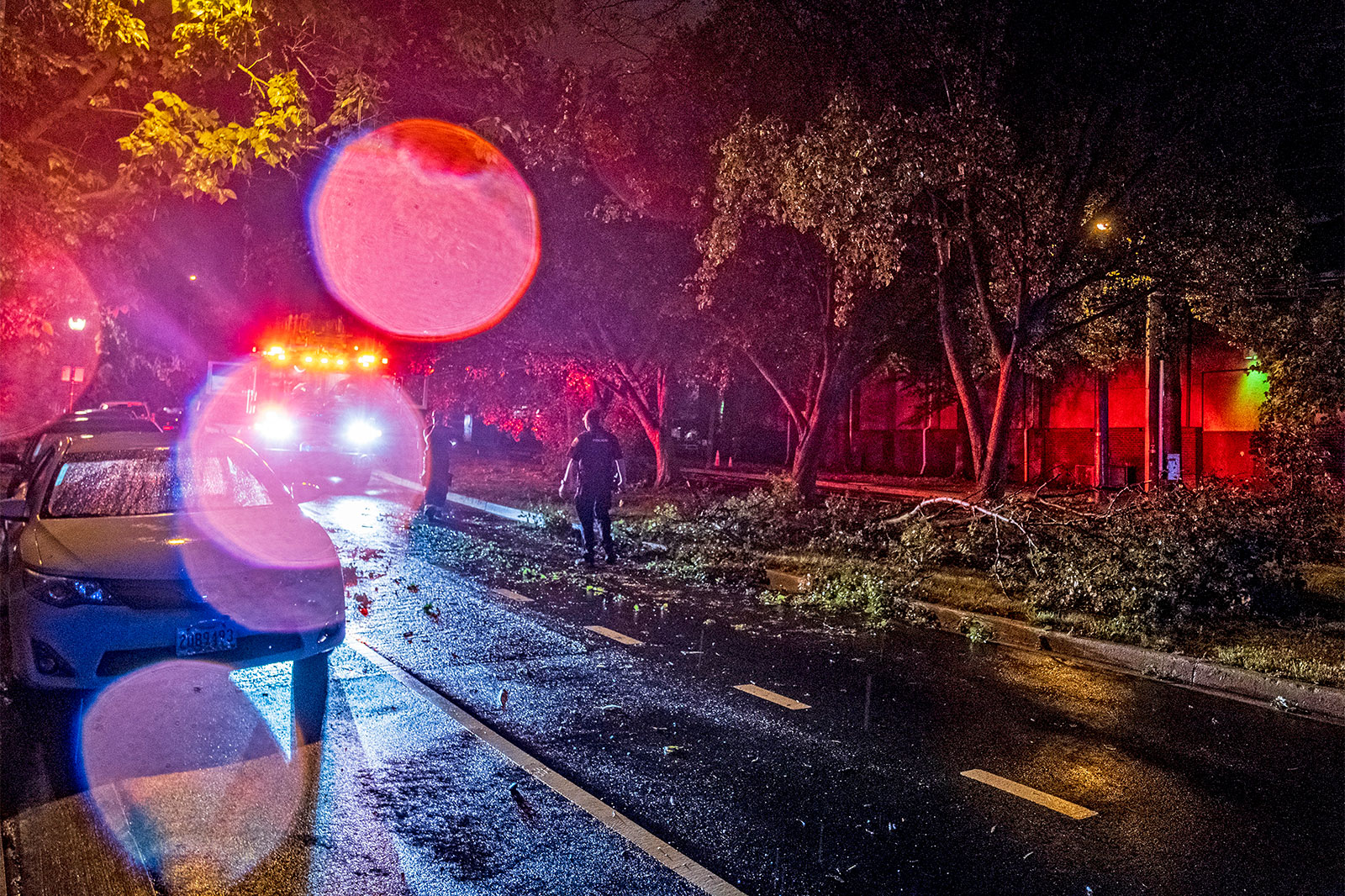
“Calls for downed trees, stuck elevators and downed power lines are being addressed as units are available,” ACFD said on social media.
The National Weather Service says it will be surveying storm damage in Arlington to determine whether a tornado touched down.
“The National Weather Service will conduct a preliminary, first-look storm survey tonight in Arlington the District of Columbia and Prince George’s County,” NWS said in a statement. “We will perform a preliminary assessment to determine whether wind damage that occurred… was caused by a tornado or straight line winds.”
The final assessment is expected to be released on Friday.
The storm caused widespread damage and power outages in the county, mostly north of Route 50. As of 11:15 p.m., over 11,000 Dominion customers were still without power in Arlington, according to the power company.
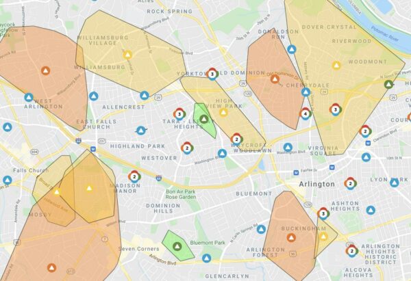
Among the reported incidents first responders were dispatched to tonight were a tree down on a house with a man trapped on 16th Street N., several blocks from Washington-Liberty High School; an overturned vehicle on Washington Blvd north of Columbia Pike; and a tree on a car on Route 50 and N. Fillmore Street.
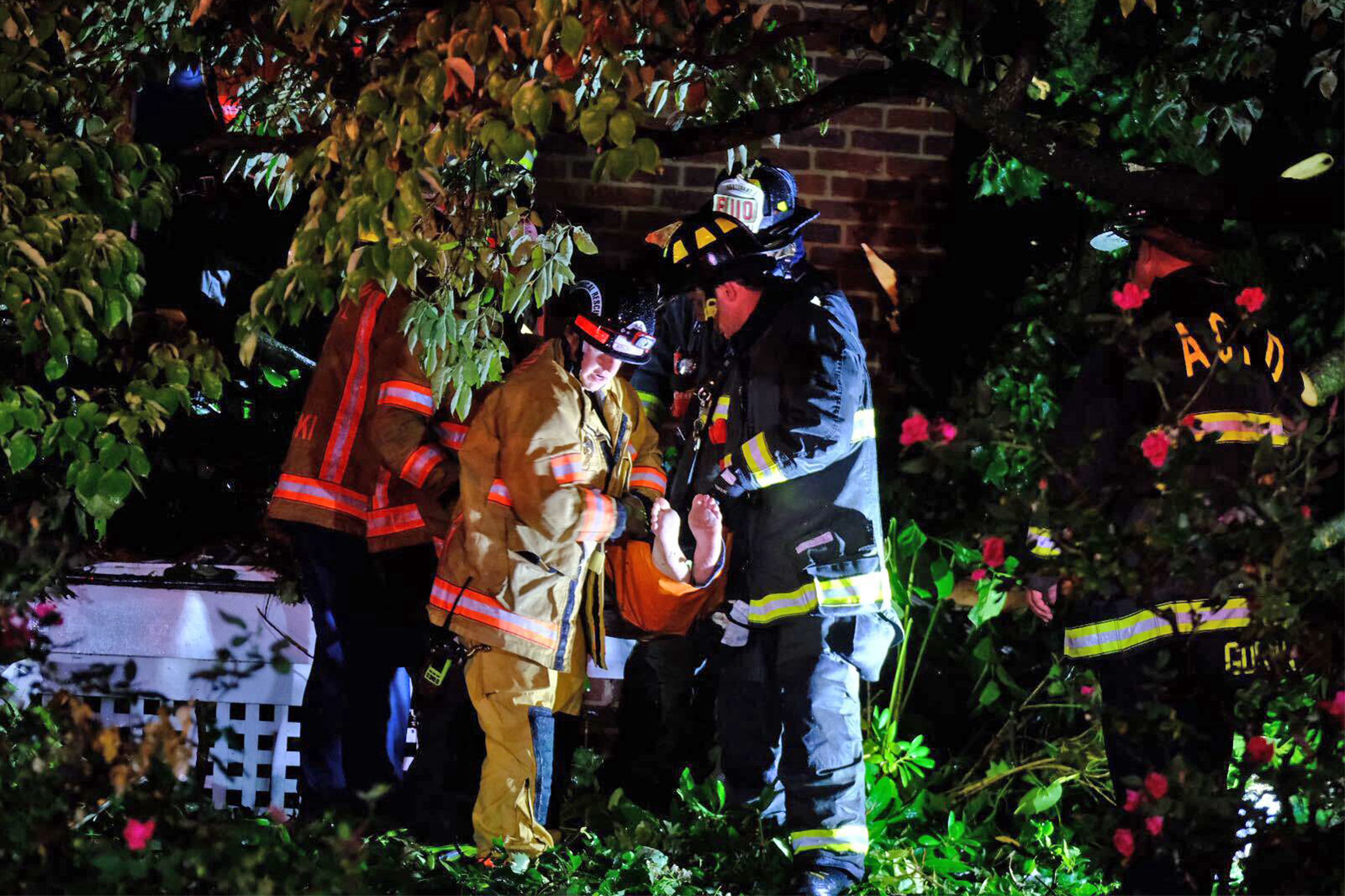
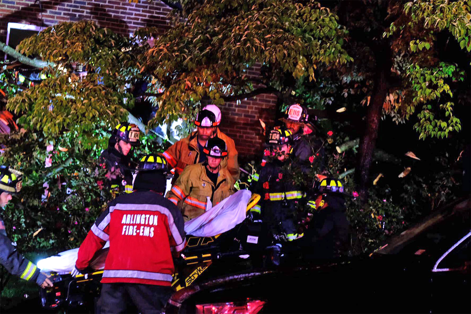
The person pinned in the house by the fallen tree has been rescued and brought to the hospital with non-life-threatening injuries, the fire department said. Two other people were reportedly in the house at the time but made it out okay, according to scanner traffic.
Two people were reported to have suffered significant injuries in the crash involving an overturned vehicle on Washington Blvd, near the Columbia Pike exit ramp. The crash happened around the same time as the storm struck. The two injured people were transported via ambulance to a local trauma center.
There were numerous other reports of trees, light poles and utility lines down, including at:
- N. Kirkwood Road and 13th Street N.
- Washington Blvd and Route 50
- N. George Mason Drive and 22nd Street N.
- N. Utah Street and 20th Street N.
- N. Buchanan Street and 22nd Road N.
- N. Upton Street and 20th Road N.
- Columbia Pike and S. Adams Street
- McKinley Road and 9th Road N.
- N. Illinois Street and 22nd Street S.
- N. Highland Street and Key Blvd
- 21st Street N. and N. Nottingham Street
- Spout Run Parkway at Lorcom Lane
- 1500 block of S. Clark Street
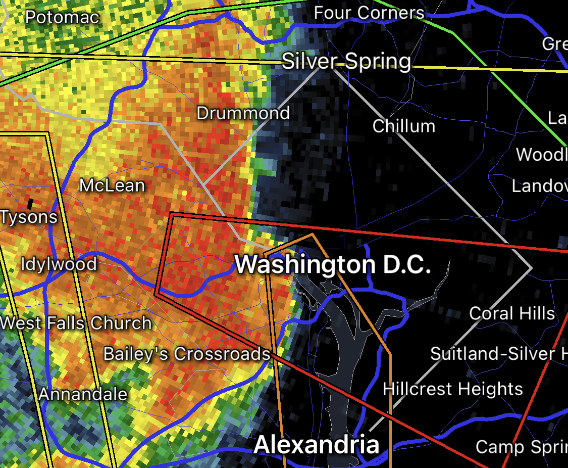
The likely tornado path, based on weather radar and damage reports, would have taken it east from the Falls Church area, to the Waverly Hills neighborhood and the area around Washington-Liberty High School, and finally over into central portions of the District including the National Mall and Nationals Park.
Tornado Warned storm left rotation track right through the middle of Washington, D.C. around 9:10 PM! Trees down in Falls Church, winds gusted >50 southeast of DC! #DCwx pic.twitter.com/l83k7kiia6
— Jesse Ferrell (@WeatherMatrix) July 2, 2021
Residents are being encouraged to stay home or take “extreme caution” if out tonight due to the storm damage.
If you are in Arlington, DC, or nearby in the greater metro area: use extreme caution if out and about tonight. There are likely lots of hanging branches and leaning trees from earlier storms which may fall overnight. Avoid wooded areas, downed wires, and flooded or closed roads.
— NWS Baltimore-Washington (@NWS_BaltWash) July 2, 2021
The urgent alerts for the Tornado Warning sounded just before 9 p.m. as a line of strong storms approached. Arlington was also currently under a Severe Thunderstorm Warning and a Flash Flood Warning.
The original warning, from the National Weather Service:
THE NATIONAL WEATHER SERVICE IN STERLING VIRGINIA HAS ISSUED A
* TORNADO WARNING…
* UNTIL 930 PM EDT.
* AT 858 PM EDT, A SEVERE THUNDERSTORM CAPABLE OF PRODUCING A TORNADO WAS LOCATED OVER BALLSTON, OR OVER ARLINGTON, MOVING EAST AT 35 MPH.
HAZARD…TORNADO.
SOURCE…RADAR INDICATED ROTATION.
IMPACT…FOR THOSE IN THE DIRECT PATH OF A TORNADO TOUCHDOWN, FLYING DEBRIS WILL BE DANGEROUS TO THOSE CAUGHT WITHOUT SHELTER. DAMAGE TO ROOFS, SIDING, AND WINDOWS MAY OCCUR. MOBILE HOMES MAY BE DAMAGED OR DESTROYED. TREE DAMAGE IS LIKELY.
* THIS DANGEROUS STORM WILL BE NEAR… CRYSTAL CITY AROUND 905 PM EDT. NATIONALS PARK, REAGAN NATIONAL AIRPORT, GALLAUDET UNIVERSITY, ANACOSTIA AND US CAPITOL AROUND 910 PM EDT.
Video footage from around the time of the warning shows dark clouds bearing down on the county as very strong winds whip up, and the shadowy outline of what looks somewhat like a funnel cloud.
Hope you don’t mind my cropping. It might just be shadows playing tricks… But lowering (and twist?) from dark area in middle of frame sure looks suspicious. Good correlation to radar velo (by my estimate). Hope Twitter video compression doesn’t kill. pic.twitter.com/bkNRRbSX1s
— Bob Specht (@bobspecht) July 2, 2021
City of Falls Church pic.twitter.com/XNHGsjFRf0
— matthew vaughan (@mvaugh119) July 2, 2021
Short video of rotating storm and power flashes facing Rosslyn at 9 p.m. #dcwx pic.twitter.com/YhKJ2L4E9q
— Dave Dildine (@DildineWTOP) July 2, 2021
As of 9:40 p.m., the National Weather Service said the worst of the storms were over, a welcome contrast to the dire warnings earlier.
The worst of the storms have passed DC/Arlington as of 9:40 PM. Damaging winds are still possible east of DC over Anne Arundel County for the next 20 minutes. Hope everyone is safe; pass along any damage reports you see. Thanks!
— NWS Baltimore-Washington (@NWS_BaltWash) July 2, 2021
Tornado Warning including Washington DC, Arlington VA, Glassmanor MD until 9:30 PM EDT pic.twitter.com/1nPWlBX0dG
— NWS Baltimore-Washington (@NWS_BaltWash) July 2, 2021
Arlington/downtown DC – GET INSIDE and stay away from windows! VERY HIGH wind imminent!
— NWS Baltimore-Washington (@NWS_BaltWash) July 2, 2021


