Update at 3:15 p.m. — A Flood Watch has also been issued, through 8 p.m.
“Training storms capable of producing 2 to 3 inches per hour may lead to an increased threat for flash flooding over the more urban areas along the I-95 corridor,” the National Weather Service says. “Excessive runoff may result in flooding of rivers, creeks, streams, and other low-lying and flood-prone locations. Flooding may occur in poor drainage and urban areas.”
LWX issues Flood Watch till Jun 2, 8:00 PM EDT https://t.co/fVv5FQW43V pic.twitter.com/10ocnBhMtD
— IEMBot LWX (@iembot_lwx) June 2, 2022
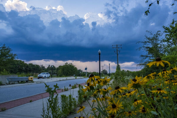
Earlier: Arlington and the entire D.C. area are under a Severe Thunderstorm Watch this afternoon and evening.
The National Weather Service issued the watch just before 2 p.m. It will remain in effect until 9 p.m.
“Scattered severe thunderstorms capable of producing damaging winds and large hail will be possible this afternoon and evening,” the weather service said, noting that wind gusts up to 65 mph are likely.
A severe thunderstorm watch has been issued for parts of DE, DC, MD, NJ, PA, VA, WV until 9 PM EDT pic.twitter.com/MjxFniPn83
— NWS Severe Tstorm (@NWSSevereTstorm) June 2, 2022

