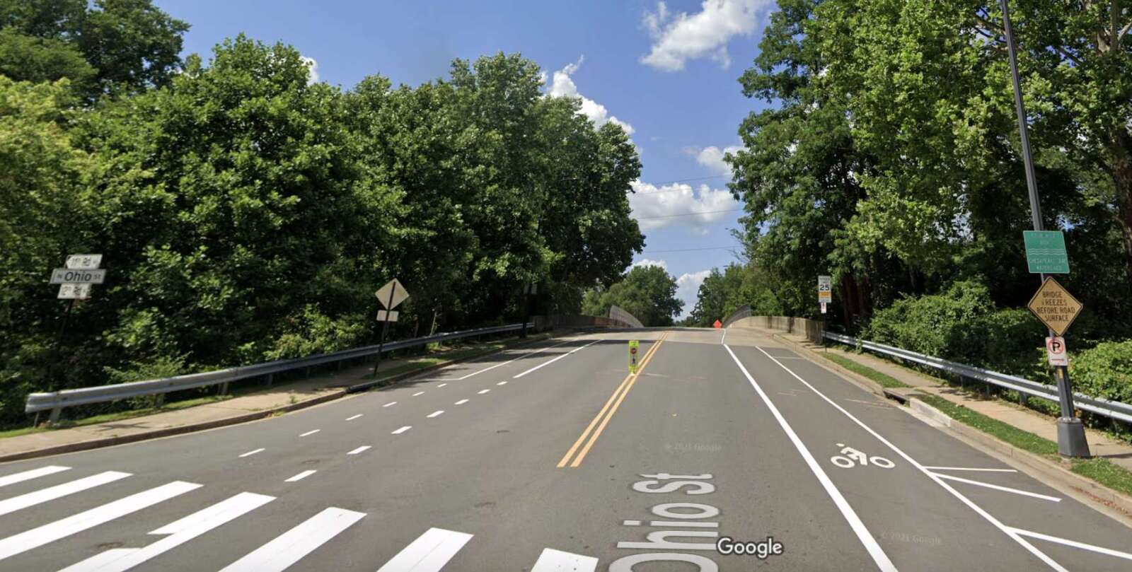
Five “Complete Streets” roadway project designs are ready for community feedback.
As part of Arlington County’s Complete Streets program, the projects aim to improve safety and access on local roads. The changes are usually made in conjunction with repaving projects and mostly involve re-striping the roadway, sometimes at the expense of parking or through lanes.
According to the project website, the five stretches of roadway that are up for improvements this year are:
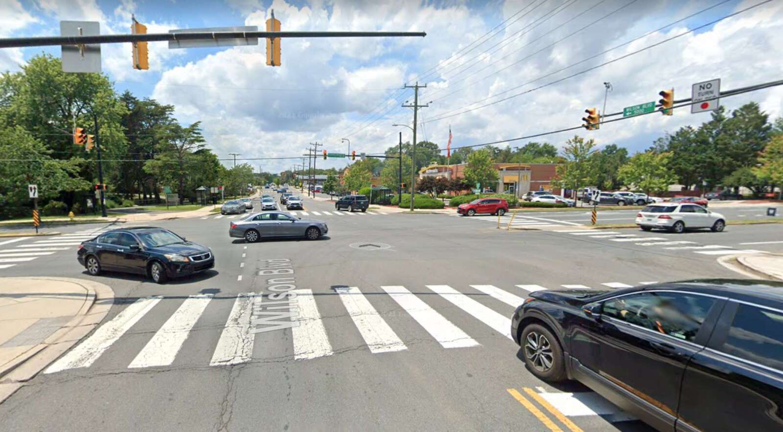
- Wilson Boulevard — N. George Mason Drive to N. Vermont Street (Bluemont)
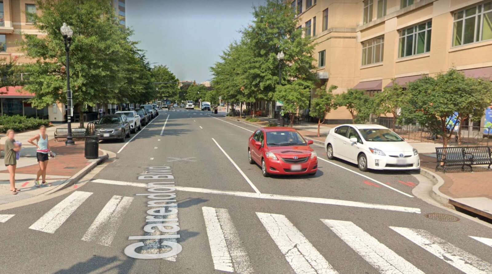
- Clarendon Boulevard — N. Garfield Street to N. Adams Street (Clarendon / Courthouse)
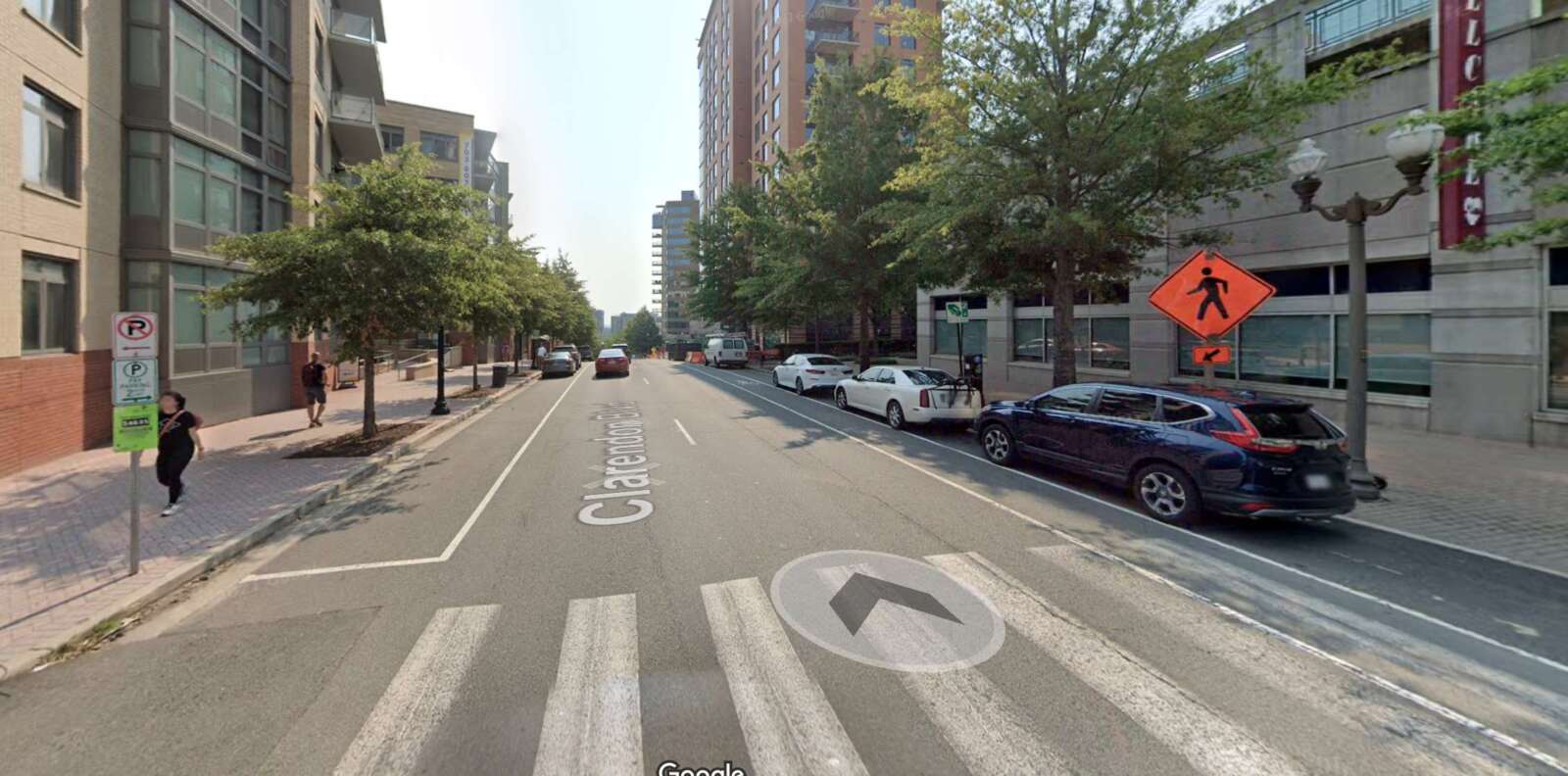
- Clarendon Boulevard — Courthouse Road to N. Scott Street (Courthouse / Rosslyn)
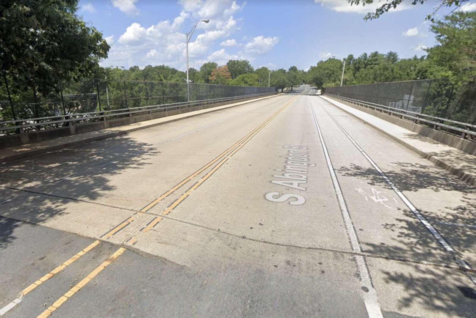
- S. Abingdon Street / 34th Street S. — Bridge over I-395 (Fairlington)
- N. Ohio Street — 12th Road N. to Washington Boulevard (Madison Manor / Highland Park-Overlee Knolls / Dominion Hills)
Those interested in giving feedback on the designs can fill out an online form on the project website through Wednesday, July 6. The final plans are expected to be released in late summer or fall.
S. Abingdon Street bridge

The county’s Department of Environmental Services plans to remove under-utilized parking from the S. Abingdon Street bridge over I-395 in Fairlington.
The project would add buffer zones to the bike lanes to improve access for cyclists and safety for those using the sidewalks, while narrowing the travel lanes for speed control, according to its concept design summary.
Residents previously expressed concern about drivers speeding on the bridge while students walk to and from school.
The bridge is also part of a planned VDOT rehabilitation project, which will include adding concrete protective barriers and replacing bearings.
Wilson Blvd between N. George Mason Drive to N. Vermont Street
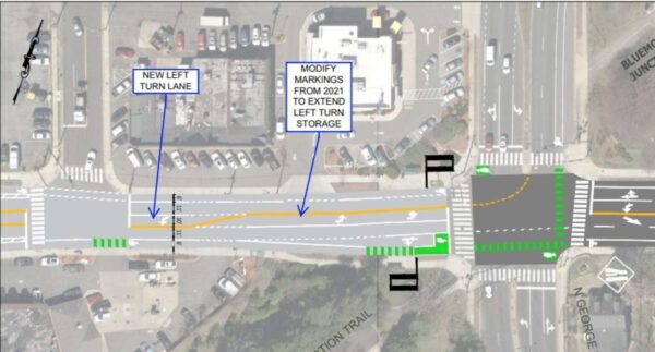
The segment of Wilson Blvd in Bluemont between N. George Mason Drive and N. Vermont Street, near Ballston, could see additional high contrast markings at high conflict crosswalks, according to the designs.
The plan is to reduce Wilson Blvd to one travel lane in each direction, with a center turn lane into N. George Mason Drive to better control vehicle speed.
The design plan also includes modifying markings to extend the left turn lane near N. George Mason Drive. The project would also add bike lanes and a continuous center turn lane east of the fire station.
The section of Wilson Blvd between George Mason and the Safeway grocery store saw similar changes last year.
Clarendon Blvd from N. Garfield Street to N. Adams Street
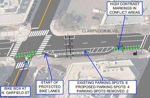
A segment of Clarendon Blvd is set for changes between N. Garfield Street and N. Adams Street, in the Clarendon and Courthouse area, including the removal of nine parking spots.
Apart from reducing parking spaces, the project team also plans to add high contrast markings at high conflict crosswalks. A bike box is set to be added at Clarendon Boulevard’s intersection with N. Garfield Street to make turning easier for cyclists.
The plan will also add parking protection to the bike lane between N. Garfield Street and N. Edgewood Street. A county summary says residents in the area expressed concern about speeding, unsafe pedestrian crossings and double parking in the bike lane.
Clarendon Blvd from N. Courthouse Road to N. Scott Street
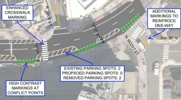
The project in the Courthouse and Rosslyn areas is focused on the segment of Clarendon Blvd between Courthouse Road and N. Scott Street, where the the bike lane would be protected from traffic by buffers and by parking. Four parking spots are set to be removed from the road segment.
The plan will also add high contrast markings at the crosswalk on N. Troy Street, as well as a center line and a right turn arrow on the ground on the turn onto the boulevard from N. Scott Street, in order to clarify traffic rules to drivers.
N. Ohio Street from 12th Road N. to Washington Blvd
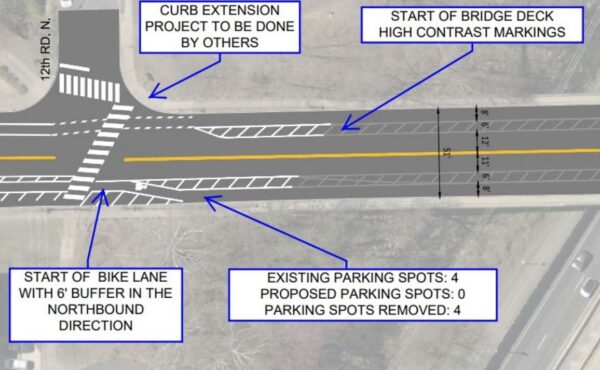
The segment of N. Ohio Street between 12th Road N. and Washington Blvd is set for narrowed travel lanes to better control speed.
Other construction listed in the design plan includes adding a 6-foot buffer to the bike lane starting from 12th Street N. and removing all four parking spots near 12th Street N.
The bike lane near 14th Street N. will also be turned into a parking-protected bike lane under the plan. The 20 parking spots around 14th Street N. are expected to remain.


