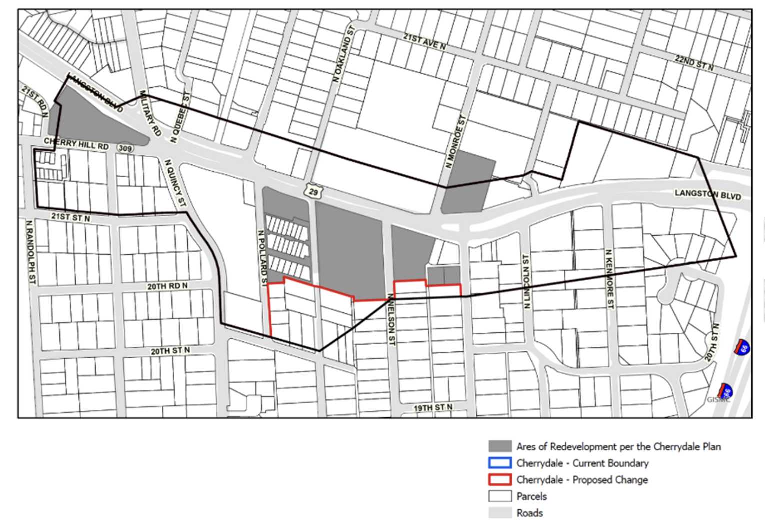
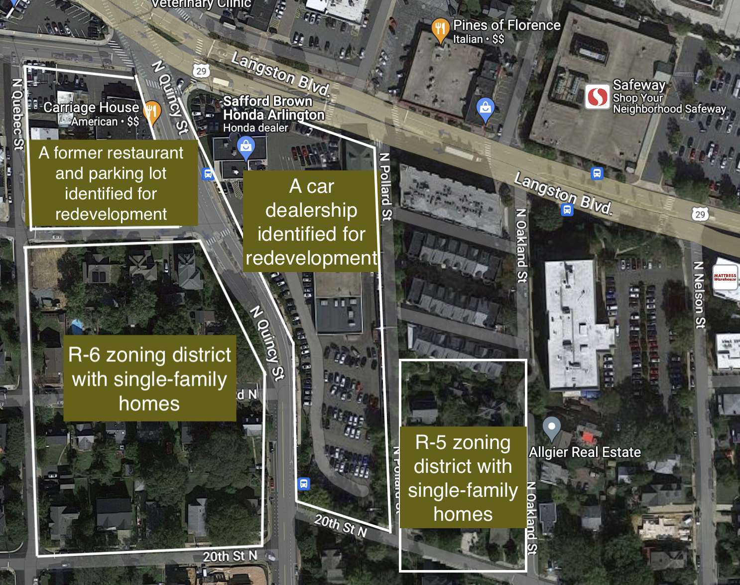
Eighteen properties formerly within a special “revitalization district” in Cherrydale will soon officially be eligible for redevelopment with 2- to 6-unit homes.
On Monday, the Arlington Planning Commission unanimously adopted changes to the county’s General Land Use Plan map that removed 18 properties from the boundaries of the Cherrydale revitalization district, outlined in the 1994 Cherrydale Revitalization Plan.
According to Missing Middle ordinances, these properties would have been exempt from Expanded Housing Option, or EHO, development because they were intended for larger-scale redevelopment. But that was unlikely to happen.
“Since the redevelopment on adjacent properties did not also include these parcels as part of the site assemblages, it is unexpected and likely infeasible for the balance of properties to redevelop on their own consistent with the Cherrydale plan,” per a county report.
If the Arlington County Board approves the proposed map changes this month, these 18 properties could have a new path forward for redevelopment as EHOs, potentially creating a subtler transition from higher-density or commercial buildings to single-family home neighborhoods.

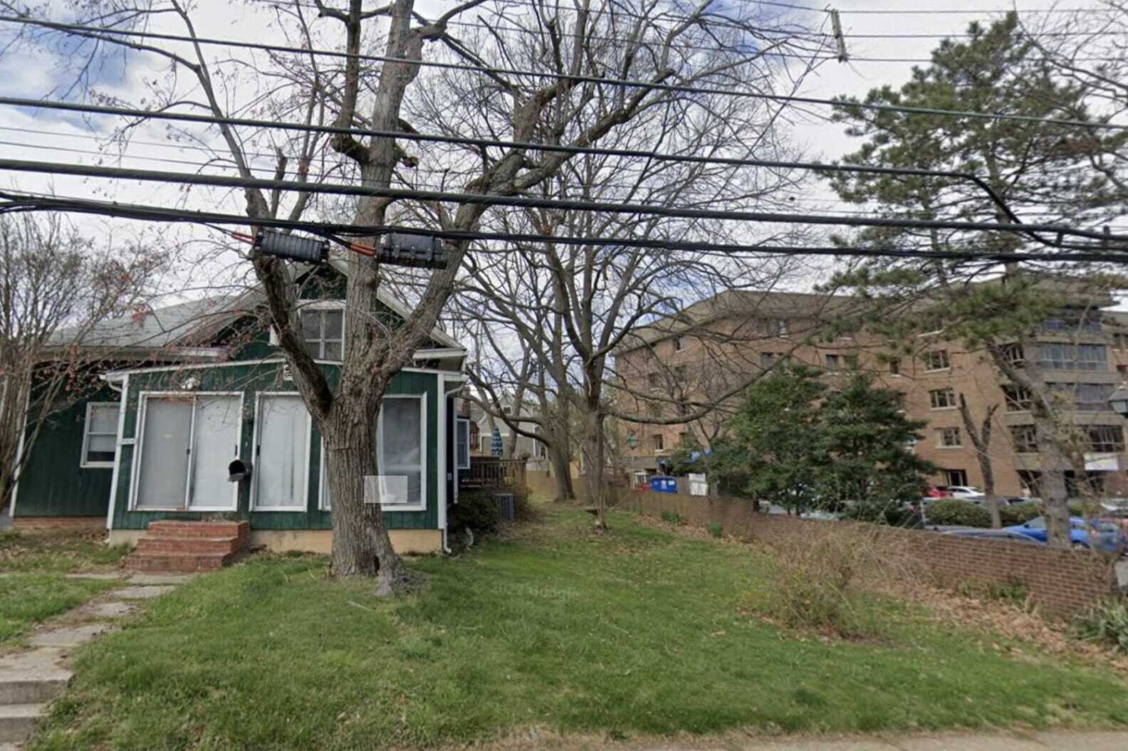
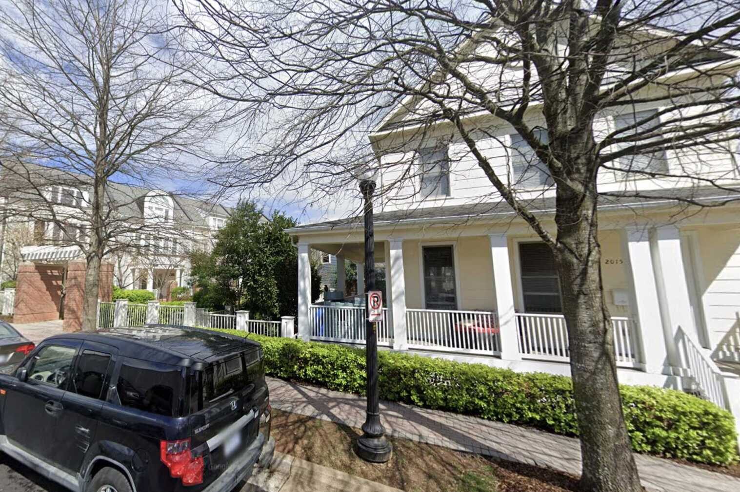
Since the revitalization plan was adopted in 1994, several properties in Cherrydale have redeveloped, becoming townhouses, for instance, but leaving a collection of single-family homes nearby.
When the Missing Middle ordinances were adopted, county staff recommended studying the Cherrydale Revitalization District boundaries as part of Plan Langston Blvd, which outlines how the county can leverage private development to turn car-centric Langston Blvd into a leafy, walkable corridor with more housing, retail and open space.
Notably, Cherrydale had been left out of Plan Langston Blvd because its redevelopment plan had yet to be fully realized. Still, with this recommendation, staff sought to find homes unlikely to be assembled for larger-scale redevelopment and free them up for EHO development.
The map shows other blocks with a few single-family homes are still included in district, meaning the county still has high hopes developers could assemble these properties for larger-scale developments.

The Planning Commission adopted the changes this month after a month-long delay.
In November, the County Board decided to postpone hearings on the map until December because a copy of the map “was inadvertently omitted” from meeting materials in October, when the Board heard staff’s request to advertise hearings, the report said.
The item is now teed up to go before the County Board on Saturday, Dec. 16.


