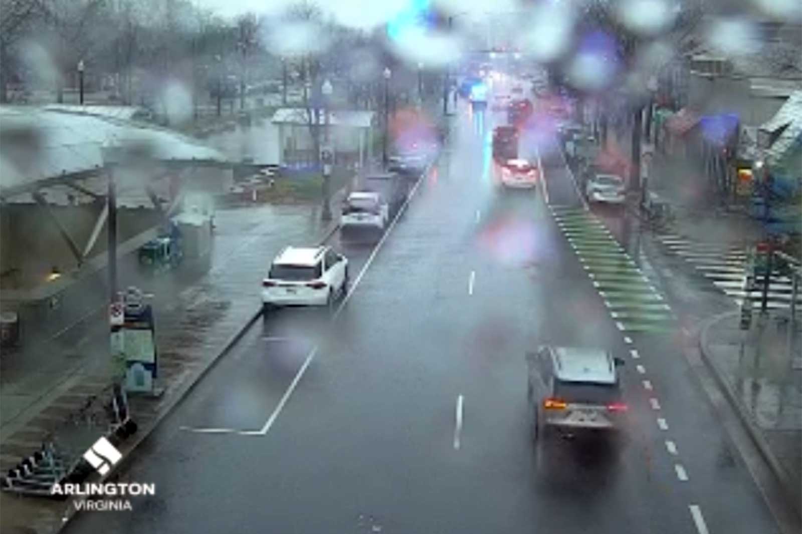
(Updated at 5 p.m.) Arlington County is now under a Flood Warning as heavy, wind-driven rain continues across the region.
The National Weather Service issued the warning, below, around 3:30 p.m. It’s in addition to the earlier High Wind Warning, which is in effect until 1 a.m.
Local streams have been rising throughout the day and ponding can be seen on local roads. Among the first reports of significant flooding, Columbia Pike was being closed near the Pentagon as of 4 p.m. due to reported high water.
Travel in and out of the Pentagon via Columbia Pike is shut down due to flooding and debris under Washington Boulevard, Route 27. @ARLnowDOTcom @matthewyoung31 @CordellTraffic #safety #weather #traffic #vatraffic pic.twitter.com/OrmvTDsvQf
— Dave Statter (@STATter911) January 9, 2024
Forecasters say conditions will continues to get worse.
…FLOOD WARNING IN EFFECT UNTIL 1130 PM EST THIS EVENING…
* WHAT…Flooding caused by excessive rainfall is expected.
* WHERE…Portions of DC, including the following , District of Columbia, central Maryland, including the following county, Montgomery, and northern Virginia, including the following counties, Arlington, City of Alexandria, City of Fairfax, City of Falls Church, City of Manassas, City of Manassas Park, Fairfax, Loudoun and Prince William.
* WHEN…Until 1130 PM EST Tuesday.
* IMPACTS…Flooding of rivers, creeks, streams, and other low-lying and flood-prone locations is imminent or occurring.
* ADDITIONAL DETAILS…
– At 327 PM EST, Doppler radar indicated a broad area of moderate to heavy rainfall. Flooding is ongoing or expected to begin shortly in the warned area. Between 1 and 1.5 inches of rain have fallen. Given moist soil conditions due to recent rains, rivers are responding quickly and rising towards flood stage.
– Additional rainfall amounts of 1 to 2 inches are possible in the warned area.
The risk for flooding increases later this afternoon and evening as rain intensity increases. Rain rates up 0.5"/hr are expected between 5-10pm. Wind gusts of 40-55 mph are also expected during this time. Remember #TurnAroundDontDrown. #MDwx #VAwx #Wvwx pic.twitter.com/is5gc4E2ZK
— NWS Baltimore-Washington (@NWS_BaltWash) January 9, 2024
Officials have been cautioning residents to avoid driving into flooded streets and to stay home, if possible, until the storm passes.
Earlier, Arlington Public Schools cancelled after-school and evening activities.
Flooding is possible today into tonight across NOVA and a #FloodWatch remains in effect thru Wed AM. #VaWX
Never drive through flooded roads. It only takes a foot of water to carry away a car. Flooding will be difficult to see at night, so pls limit travel.#TurnAroundDontDrown pic.twitter.com/6PcEVA4sLX
— VDOT Northern VA (@VaDOTNOVA) January 9, 2024
Only minor power outages have been reported in Arlington so far this afternoon, though several thousand homes and businesses are currently without power in neighboring Fairfax County.
At Reagan National Airport, meanwhile, flight delays are building as the storm makes its way up the East Coast.
Delays and cancellations starting to pop up on the Departures board at @Reagan_Airport. We are tracking the weather impacts on travel all afternoon on @nbcwashington pic.twitter.com/egGH1QVIpa
— Adam Tuss (@AdamTuss) January 9, 2024
SHEESH! Plane landing in gusty winds at @Reagan_Airport today. 🎥 shot by @bforte22 @nbcwashington pic.twitter.com/BPCCL2MGki
— Adam Tuss (@AdamTuss) January 9, 2024

