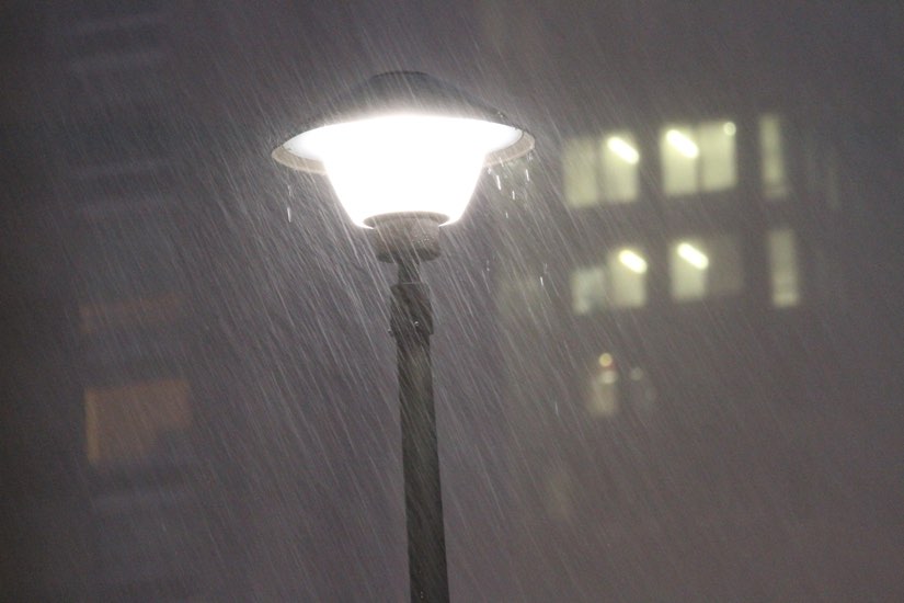
It’s going to be a soggy Saturday night and Sunday morning.
The National Weather Service just issued a Flood Watch for Arlington and other parts of the D.C. area. It will go into effect at 1 a.m.
Forecasters say heavy rain overnight, combined with upstream snow melt, may cause localized flooding.
From NWS:
…A band of moderate to locally heavy rain will accompany a potent frontal system. This pushes across the affected area during the middle of this evening into Sunday morning…
…FLOOD WATCH IN EFFECT FROM 1 AM EST SUNDAY THROUGH SUNDAY MORNING…
* WHAT…Flooding caused by excessive rainfall is possible.
* WHERE…Portions of DC, including the following , District of Columbia, Maryland, including the following areas, Anne Arundel, Central and Southeast Howard, Central and Southeast Montgomery, Northwest Howard, Northwest Montgomery, Prince Georges and Southern Baltimore, and northern Virginia, including the following areas, Arlington/Falls Church/Alexandria, Eastern Loudoun, Fairfax and Western Loudoun.
* WHEN…From 1 AM EST Sunday through Sunday morning.
* IMPACTS…Excessive runoff may result in flooding of rivers, creeks, streams, and other low-lying and flood-prone locations.
* ADDITIONAL DETAILS…
– The combination of moderate to locally heavy rainfall coupled with increased upstream snow melt into the area watersheds. 6-hour rain totals could easily reach 1 inch in many spots. Expected storm totals range from 1.50 to 2.00 inches, particularly closer to I-95.
A Flood Watch has been issued for a large portion of our region along and east of the Blue Ridge Mountains from Nelson Co up to southern Baltimore Co. This Flood Watch is in effect for late this evening into Sun morning. Total amounts will range from 1.50-2.00". #MDwx #VAwx #DCwx pic.twitter.com/QLn1f0NiRR
— NWS Baltimore-Washington (@NWS_BaltWash) January 27, 2024

