The County Board is considering adopting the Rosslyn Sector Plan, but first it is seeking out residents’ opinions.
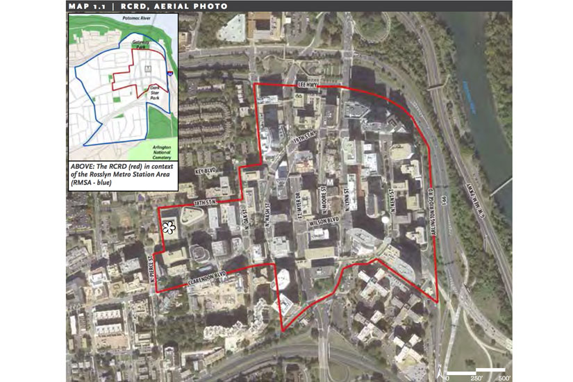
The Rosslyn Sector Plan is the county’s long-term goal for the neighborhood, including a new Metro entrance, updated parks and a new pedestrian bridge. The County Board authorized two public hearings — one before the Planning Commission on July 6 and the other before the County Board meeting on July 18 — for residents to speak and ask about the new plan.
The county’s vision focuses on four key topics: parks and open space, transportation, building height and urban design.
“The vision that residents, developers, business leaders, property owners and County staff have worked together on for more than two years is truly transformational,” County Board Chair Mary Hynes said. “Once adopted, we believe it will lead to realizing Rosslyn’s full potential. It will ensure that, as Rosslyn continues to grow and develop, it takes it rightful place as another great Arlington urban village – one where people work, live, learn and play.”
The plan comes out of efforts to move Rosslyn from a car-heavy, office-centric area to a walkable, mixed-use urban center, according to a county press release.
To do this, the planning staff have proposed a new 18th Street corridor, extending from N. Oak Street to Arlington Ridge Road. The plan follows the current recommendation to get rid of the skywalk system in Rosslyn, instead focusing pedestrian activity at ground level.
The new 18th Street corridor would be “a new central spine for Rosslyn that will improve linkages to Metro, the future Central Place plaza, and other public spaces and development,” according to the sector plan.
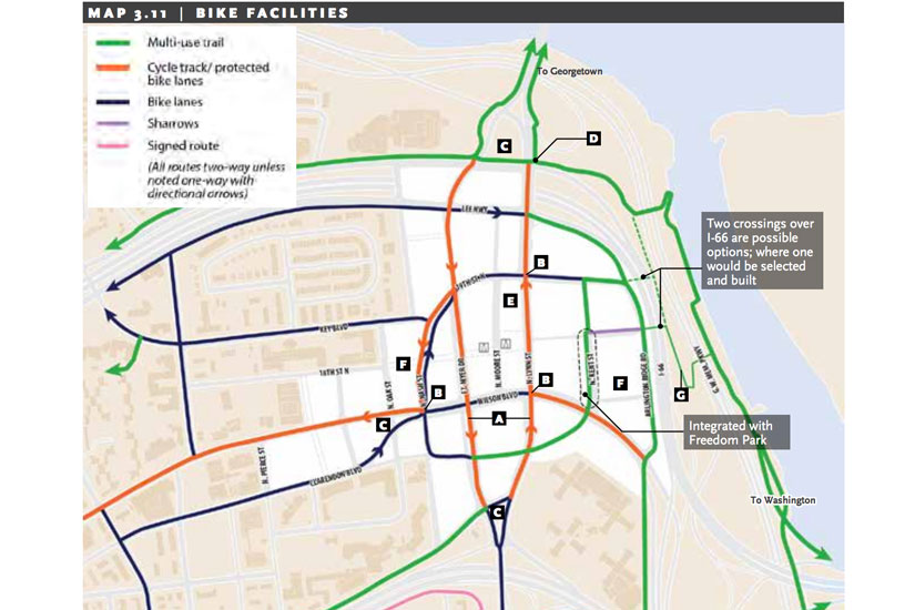
The plan calls for other significant traffic changes. N. Fort Myer Drive, N. Lynn Street and N. Kent Street, currently one-way roads, will be converted to two-way if the sector plan is approved. Also, the Fort Myer tunnel under Wilson Boulevard — which was intended to help the flow of traffic coming over the Key Bridge from D.C. — is to be removed, according to the plan.
“The tunnel’s promotion of high vehicle speeds, highway-oriented character, and incompatibility with a desirable crosswalk of 18th Street across Fort Myer Drive at the Metro station all lead to the recommendation to remove the tunnel and replace it with an at-grade signalized intersection,” according to the plan.
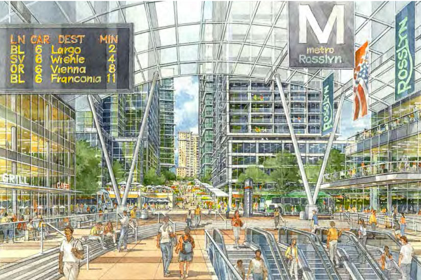
Rosslyn also is looking at a new Metro entrance. The current enclosed space could be transformed into an open air entrance, similar to the entrance at the Foggy Bottom or Van Ness Metro stations. The plaza outside the entrance would extend to Fort Myer Drive and N. Moore Street.
“The Rosslyn Metro Station is centrally positioned within this public space corridor and will serve as an important center of activity and retail concentration,” according to the plan.
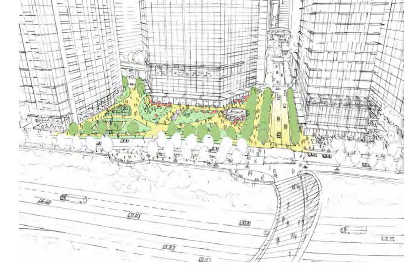
While the plan focuses on making Rosslyn more walkable, it also looks to redesign Gateway and Freedom Parks to fit in with the more urban city plan.
Under the plan, the county would remove the current ramp structure at Gateway Park and turn it into a more typical green park setting, with multi-use courts, more lawn space and a playground. Freedom Park will be made more accessible with small-scale recreation areas and outdoor seating for restaurants.
In addition, the plan calls for the future creation of an esplanade that would run along Rosslyn’s eastern edge, extending from Gateway Park to the River Place residential complex along I-66 and then to the Marine Corps Memorial. The esplanade would also overlook the Potomac River. From the esplanade, there would be a pedestrian/cycling bridge that would link it to the riverfront near Roosevelt Island.
While the main construction of the plan is focused on the ground level, the county is also looking to improve the overall look of Rosslyn by adjusting the current height limit to allow for variation in the skyline.
“In addition, the Rosslyn Sector Plan sets forth a new building heights policy for the RCRD that can more effectively achieve a place with great public spaces, views and view corridors, light and air between buildings, sensitive transitions, and a distinctive and dynamic skyline,” according to the plan.


