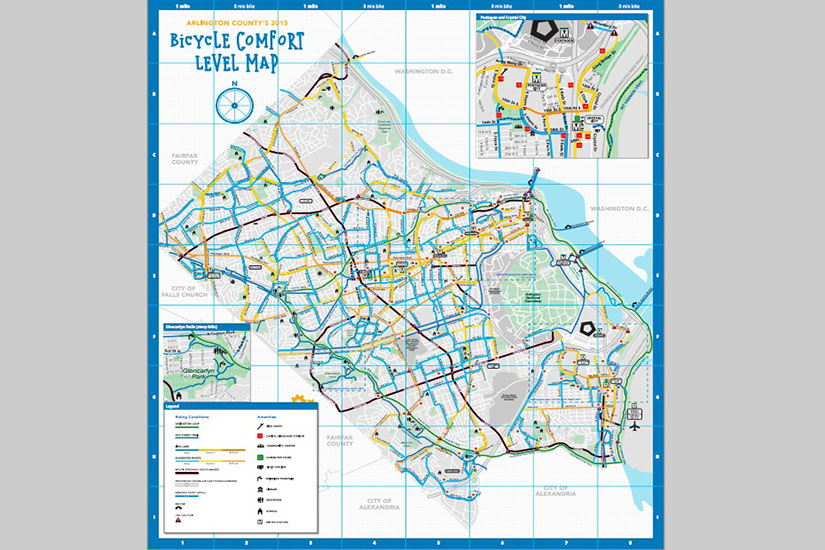
Arlington just created the region’s first map for bicyclists to find the least stressful routes for commuting.
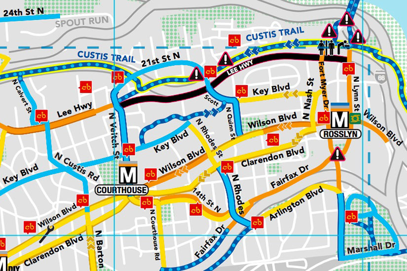
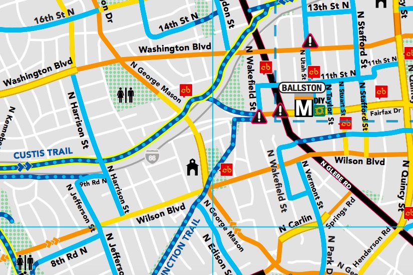
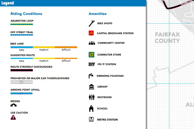
The Bicycle Comfort Level Map ranks routes by the volume and speed of vehicles, topography and whether cycling infrastructure — like bike lanes — is in place. It also includes locations where different amenities may be found, such as repair stations, drinking fountains and Capital Bikeshare stations.
Routes are color-coded based on those criteria from blue, which is easy, to orange, which is difficult. The map was developed over several months by county engineers with input from the local community.
“We know many new riders would like to ride to more places, but have commented they don’t feel comfortable on many streets, even those with designated bike lanes or sharrows,” Henry Dunbar, director of the county’s BikeArlington program, said in a press release. “There are many low-stress ways to get around Arlington’s busy corridors and this new map makes it easy for riders to find them.”
According to the press release, the new map is part of a strategy to encourage “everyday biking” in the community. Other efforts to encourage cycling include the production of the film Arlington Passages, which will premier in September.
After an initial distribution to all Arlington residents via The Citizen newspaper, the county will make the maps available at Commuter Stores, transit information kiosks and local bike shops. An electronic version is also available on the BikeArlington website.
If you have a suggestion about a new route or a ranking that should be changed, BikeArlington is accepting feedback at [email protected].


