A new historical map of Arlington allows users to explore what the county looked like 100 years ago.
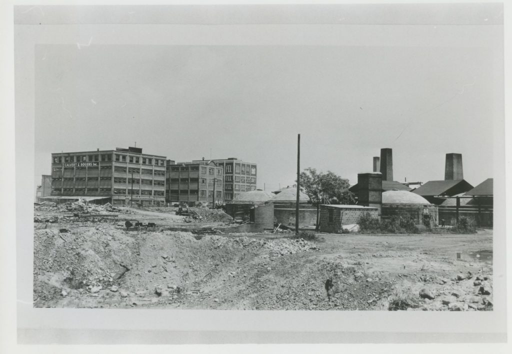
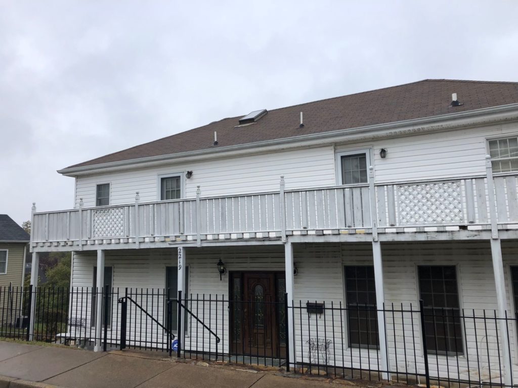
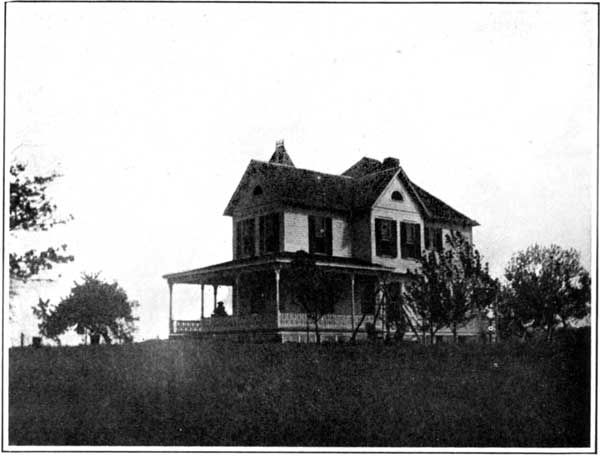
The digital map depicts a mix of new and old pictures, showing the buildings that were standing in Arlington’s neighborhoods in the 1920s. By clicking pinpoints on a county map, users can check out the homes and businesses that are (or were) located on that site and read caption notes.
“I think that this StoryMap, besides being nifty, allows people to play with it, and also give you a real historical sense of what Arlington used to look like besides these fantastic visions of glamour columns,” said Falls Church News-Press columnist and local historian Charlie Clark, who made the map for the Arlington Historical Society.
Clark told ARLnow he was inspired by the Smithsonian’s map last year that depicted John Wilkes Booth’s escape route through the streets of D.C. and down to Fredericksburg. He said the ability to combine a map with on-the-ground photos and text could also help tell Arlington stories.
“I just happen to think of this before the anniversary of Arlington getting its name,” Clark said, referring to the bill in 1920 that allowed the county to change its name from Alexandria County to Arlington County. “So I think this would be a great opportunity to get this out.”
The society hopes to plan several celebrations next year to mark the 100th anniversary of Arlington’s name.
Clark assembled photos from the era from his own records as well as from public archives and friends around town. He said it took months to fact-check the photos and captions against newspaper clippings from the Washington Post or the Alexandria Gazette, and to visit the still-standing homes, driving there as many times as it took to get a picture without modern elements like trash bins or cars out front.
“It’s really amazing the number of homes that were around in that time and how many of them are still around if you look as you walk,” added Hix.
The Historical Society helped fund the project with $500 to help cover costs like the Esri map software, while Arlington-based digital mapping company Blue Raster donated its time to help design it.
Today the map features everything from multi-family homes in the newly re-named Green Valley neighborhood, to houses with sweeping porches in Westover, as well as Ballston churches and Crystal City brick kilns.
“One of the things I like about this is that this is really throughout the county, not just the more fabled homes that we’re all familiar with, like the Glebe House” said Hix.
“We tried to get every neighborhood represented,” said Clark. “We wanted normal houses because a lot of the wealthy historic houses that have names — those are sort of twice-told tales.”


