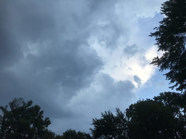
Another round of severe storms packing torrential rainfall and strong winds is possible today.
The National Weather Service has issued both flash flood and severe thunderstorm watches for Arlington and parts of the D.C. region.
The Flash Flood Watch is in effect until 9 p.m., while the Severe Thunderstorm Watch is in effect until 11 p.m.
“Severe thunderstorms are possible this afternoon and evening with locally damaging winds and large hail being the primary threat,” the National Weather Service says. “There is also an isolated threat for flooding.”
More from NWS:
Another, possibly stronger and more widespread round of thunderstorms is expected this afternoon/evening. A Flash Flood Watch is in effect for the areas highlighted in green on map 1. Also, the threat level for severe weather has been increased across the areas in yellow on map 2 pic.twitter.com/JvPr1GcDKO
— NWS Baltimore-Washington (@NWS_BaltWash) July 6, 2020
Severe Thunderstorm Watch for this afternoon and evening. pic.twitter.com/6CwJvsZBIm
— NWS Baltimore-Washington (@NWS_BaltWash) July 6, 2020
THE FLASH FLOOD WATCH CONTINUES FOR
* PORTIONS OF MARYLAND, THE DISTRICT OF COLUMBIA, AND NORTHERN VIRGINIA, INCLUDING THE FOLLOWING AREAS, IN MARYLAND, ANNE ARUNDEL, CENTRAL AND SOUTHEAST HOWARD, CENTRAL AND SOUTHEAST MONTGOMERY, NORTHERN BALTIMORE, NORTHWEST HARFORD, PRINCE GEORGES, SOUTHEAST HARFORD, AND SOUTHERN BALTIMORE. THE DISTRICT OF COLUMBIA. IN NORTHERN VIRGINIA, ARLINGTON/FALLS CHURCH/ALEXANDRIA.
* UNTIL 9 PM EDT THIS EVENING
* THUNDERSTORMS WILL DEVELOP THIS AFTERNOON AND CONTINUE THIS EVENING ALONG THE I-95 CORRIDOR. SOME AREAS MAY EXPERIENCE MULTIPLE THUNDERSTORMS THROUGH THIS EVENING. RAINFALL AMOUNTS OF 1-2 INCHES ARE POSSIBLE, WITH SOME ISOLATED AMOUNTS OVER 3 INCHES POSSIBLE. THIS AMOUNT OF RAIN OVER URBAN AREAS MAY LEAD TO INSTANCES OF FLASH FLOODING, AS WELL AS A POTENTIAL FOR CREEKS AND STREAMS TO RISE RAPIDLY IF SOME OF THE HIGHER AMOUNTS ARE REALIZED.
PRECAUTIONARY/PREPAREDNESS ACTIONS…
A FLASH FLOOD WATCH MEANS THAT CONDITIONS MAY DEVELOP THAT LEAD TO FLASH FLOODING. FLASH FLOODING IS A VERY DANGEROUS SITUATION.
YOU SHOULD MONITOR LATER FORECASTS AND BE PREPARED TO TAKE ACTION SHOULD FLASH FLOOD WARNINGS BE ISSUED.


