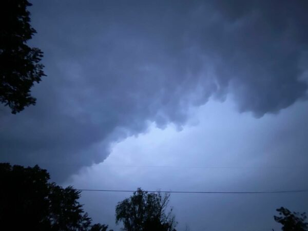
Update at 5:10 p.m. — A Severe Thunderstorm Warning has now been issued.
Update at 2:20 p.m. — A Severe Thunderstorm Watch has now been issued for Arlington and much of the region.
A Severe Thunderstorm Watch has been issued for parts of DC, MD, PA, VA, WV until 10 PM EDT. pic.twitter.com/ljXDYKhbr5
— NWS Baltimore-Washington (@NWS_BaltWash) June 21, 2021
Earlier: Strong storms may roll through the area between 5-7 p.m. this evening.
The National Weather Service released a Special Weather Statement this afternoon, warning of the potential for damaging wind gusts, large hail and perhaps even an isolated tornado.
More from NWS:
108 PM EDT MON JUN 21 2021
…SEVERE THUNDERSTORM POTENTIAL THIS AFTERNOON AND EVENING…
A LINE OF STRONG TO SEVERE THUNDERSTORMS WITH DAMAGING WIND GUSTS IS EXPECTED TO SWEEP EAST ACROSS OUR REGION THIS AFTERNOON INTO THIS EVENING.
THE RISK FOR SEVERE THUNDERSTORMS INCREASES FROM MARGINAL RISK OVER CENTRAL VIRGINIA, TO SLIGHT RISK GENERALLY NORTH OF I-66 AND US-50, TO ENHANCED RISK ALONG AND NEAR THE MASON-DIXON LINE. DAMAGING WIND GUSTS ARE THE PRIMARY THREAT, ALTHOUGH LARGE HAIL AND AN ISOLATED TORNADO ARE ALSO POSSIBLE.
THE INITIAL LINE OF STORMS SHOULD ENTER WESTERN MARYLAND AND THE EASTERN PANHANDLE OF WEST VIRGINIA BETWEEN 1 AND 4 PM. IT IS THEN EXPECTED TO MOVE EAST ACROSS THE SHENANDOAH VALLEY AND WEST CENTRAL MARYLAND BETWEEN 3 AND 5 PM. THE LINE SHOULD REACH THE BALTIMORE AND WASHINGTON METRO AREAS AND SOUTHERN MD BETWEEN 5 AND 8 PM. ALL TIMES ARE CURRENT BEST ESTIMATES, AND PEOPLE SHOULD BE READY TO SEEK SHELTER WHEN STORMS THREATEN OR WARNINGS ARE ISSUED.
An enhanced risk of severe thunderstorms is now present along the PA border with MD. Our current best estimate for storm timing this afternoon is attached as well. pic.twitter.com/LFy6kotzbr
— NWS Baltimore-Washington (@NWS_BaltWash) June 21, 2021
12:52pm CDT #SPC_MD 1048 , #njwx #nywx #pawx #dewx #mdwx #dcwx #vawx #wvwx, pic.twitter.com/3Apt3zlw97
— NWS Storm Prediction Center (@NWSSPC) June 21, 2021


