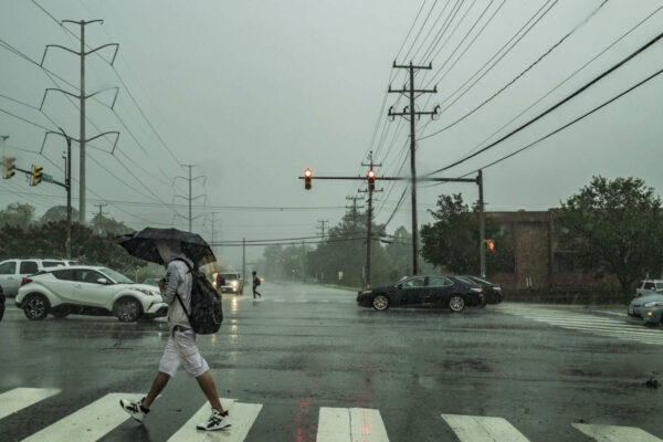
It’s going to be nasty, rainy Friday.
Arlington will be under both a Flood Watch and a Coastal Flood Warning tomorrow. On top of that, strong winds and the possibility of some severe thunderstorms are in the forecast.
The Flood Watch takes effect Friday morning. From the National Weather Service:
849 PM EDT Thu Oct 28 2021
…FLOOD WATCH REMAINS IN EFFECT FROM FRIDAY MORNING THROUGH FRIDAY AFTERNOON…
The Flood Watch continues for
* Portions of DC, Maryland and northern Virginia, including the following areas: in DC, District of Columbia. In Maryland, Anne Arundel, Central and Southeast Howard, Central and Southeast Montgomery, Prince Georges and Southern Baltimore. In northern Virginia, Arlington/Falls Church/Alexandria, Fairfax and Prince William/Manassas/Manassas Park.
* From Friday morning through Friday afternoon.
* Rainfall amounts around 1 to 2 inches are most likely with isolated amounts of 2 to 4 inches possible.
* Heavy amounts of rain will cause creeks and streams to slowly rise, possibly out of their banks as well as the potential for flooding in urban areas.
PRECAUTIONARY/PREPAREDNESS ACTIONS…
You should monitor later forecasts and be alert for possible Flood Warnings. Those living in areas prone to flooding should be prepared to take action should flooding develop.
While Arlington’s river shoreline is not developed, unlike our neighbors in Alexandria, significant coastal flooding may inundate trails along the Potomac. A rare Coastal Flood Warning is currently in effect.
…COASTAL FLOOD WARNING NOW IN EFFECT UNTIL 2 PM EDT SATURDAY…
* WHAT…Two to three feet of inundation above ground level expected in low lying areas due to tidal flooding.
* WHERE…Shoreline in the District of Columbia, Arlington County, and the City of Alexandria.
* WHEN…Until 2 PM EDT Saturday, especially around the time of high tide.
* IMPACTS…The unprotected area on the Southwest Waterfront at the DC Seafood Market is expected to flood. Water is expected
to approach parts of the Hains Point Loop Road, but it will likely be closed. Water is expected to approach buildings near King Street and Union Street. Shoreline inundation up to one foot above ground is possible elsewhere.* ADDITIONAL DETAILS…Tides up to 4 feet above normal. The next high tide at Washington Channel is at 2:18 AM and 3:14 PM. The next high tide at Alexandria is at 2:36 AM and 3:32 PM.
PRECAUTIONARY/PREPAREDNESS ACTIONS…
Take the necessary actions to protect flood-prone property. If travel is required, do not drive around barricades or through water of unknown depth.
NWS is calling for wind gusts up to 37 mph tomorrow, raising the possibility of falling trees and branches, as well as power outages.
More via Twitter:
If you have property along a waterway or plan to travel to a flood-prone area (even if it’s just a bike ride along the water!), take caution this weekend. https://t.co/fetLNwMjT1
— Ready Arlington (@ReadyArlington) October 28, 2021
Multiple weather concerns for DC area Friday:
* 1-2" of rain, with locally up to 2-4"; pockets of flooding possible.
* Wind gusts of 30-40 mph.
* Biggest coastal flooding for Potomac and Chesapeake Bay since Isabel in 2003https://t.co/pYpkSEuiy5 1/x— Capital Weather Gang (@capitalweather) October 28, 2021
We could see some isolated severe storms tomorrow across parts of the area. Main threat will be damaging winds but an isolated tornado cannot be ruled out across southern MD. #vawx #mdwx #dcwx pic.twitter.com/VvGgATrJXv
— Washingtonian Weather Geeks (@WashingtonianWx) October 29, 2021


