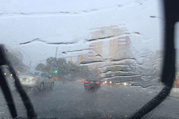
Updated at 2:15 p.m. — A Severe Thunderstorm Watch was also just issued for the area.
A severe thunderstorm watch has been issued for parts of District of Columbia, Maryland, Virginia and West Virginia until 10 PM EDT pic.twitter.com/SpwWlujlua
— NWS Severe Tstorm (@NWSSevereTstorm) July 12, 2022
Numerous strong to severe thunderstorms are expected as a cold front pushes through. Damaging winds is the main threat but large hail, an isolated tornado or two, and flash flooding is also possible. Stay weather aware today! #vawx #mdwx #dcwx #wvwx pic.twitter.com/OBK65Xt9OS
— Washingtonian Weather Geeks (@WashingtonianWx) July 12, 2022
Earlier: Arlington and much of the D.C. and Baltimore area is under a Flood Watch today, starting at 4 p.m.
Storms are expected later today, forecasters say. Heavy rain and strong winds are likely.
“Scattered severe thunderstorms are possible this afternoon and evening,” the National Weather Service says. “Damaging wind gusts and large hail are the primary threats. An isolated tornado is also possible.”
More on the Flood Watch from NWS, below.
…FLOOD WATCH IN EFFECT FROM 4 PM EDT THIS AFTERNOON THROUGH THIS EVENING…
* WHAT…Flash flooding caused by excessive rainfall is possible.
* WHERE…Portions of DC, Maryland and northern Virginia, including the following areas: in DC, District of Columbia. In Maryland, Anne Arundel, Central and Southeast Howard, Central and Southeast Montgomery, Northern Baltimore, Northwest Howard, Northwest Montgomery, Prince George’s and Southern Baltimore. In northern Virginia, Arlington/Falls Church/Alexandria, Fairfax and Prince William/Manassas/Manassas Park.
* WHEN…From 4 PM EDT this afternoon through this evening.
* IMPACTS…Excessive runoff may result in flooding of rivers, creeks, streams, and other low-lying and flood-prone locations. Creeks and streams may rise out of their banks.
* ADDITIONAL DETAILS…
– Strong to severe thunderstorms will move across the region late this afternoon through the evening hours. Heavy rain will accompany a number of these storms which may drop 1 to 2 inches of rainfall in an hour. Additionally, some regions could see repeat thunderstorm activity leading to an enhanced threat for flooding.
– http://www.weather.gov/safety/floodPRECAUTIONARY/PREPAREDNESS ACTIONS…
You should monitor later forecasts and be prepared to take action should Flash Flood Warnings be issued.
A Flash Flood Watch is in effect late this afternoon through midnight tonight to account for increased rainfall amounts in and around the DC/Baltimore metropolitan areas. pic.twitter.com/2jotb79sJV
— NWS Baltimore-Washington (@NWS_BaltWash) July 12, 2022

