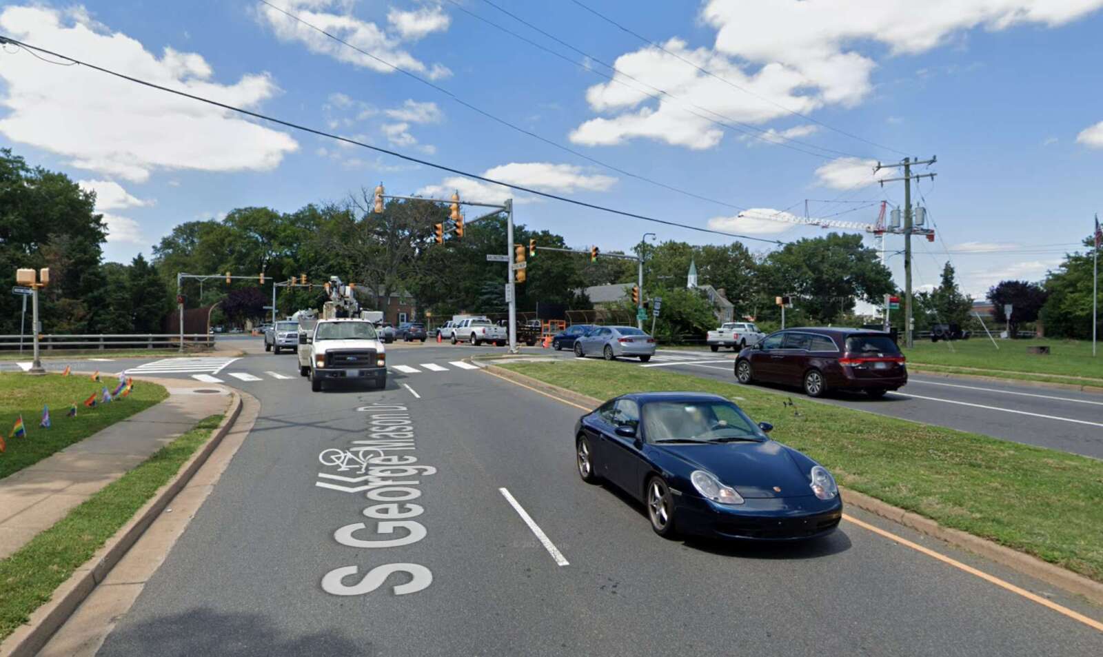
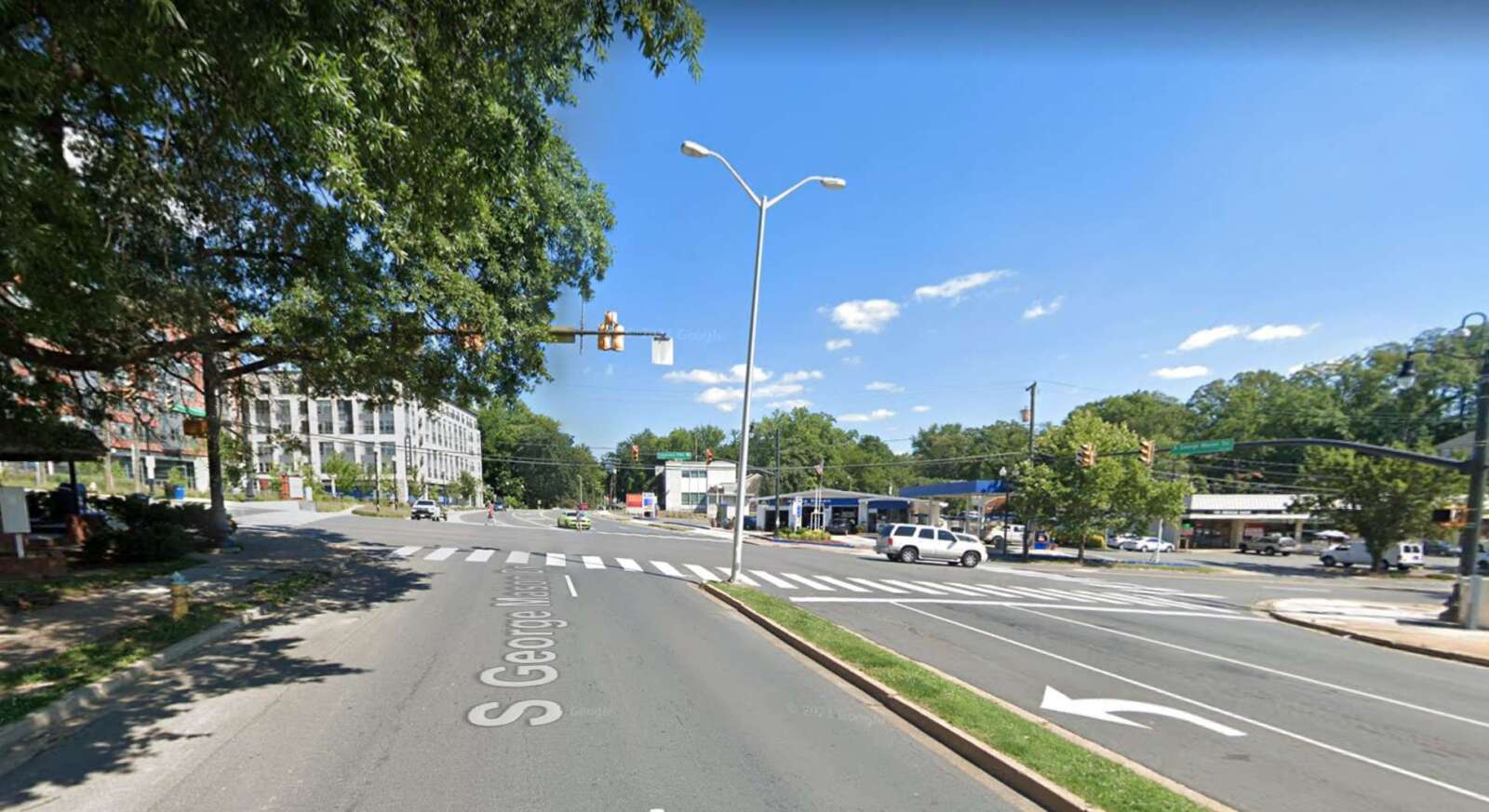
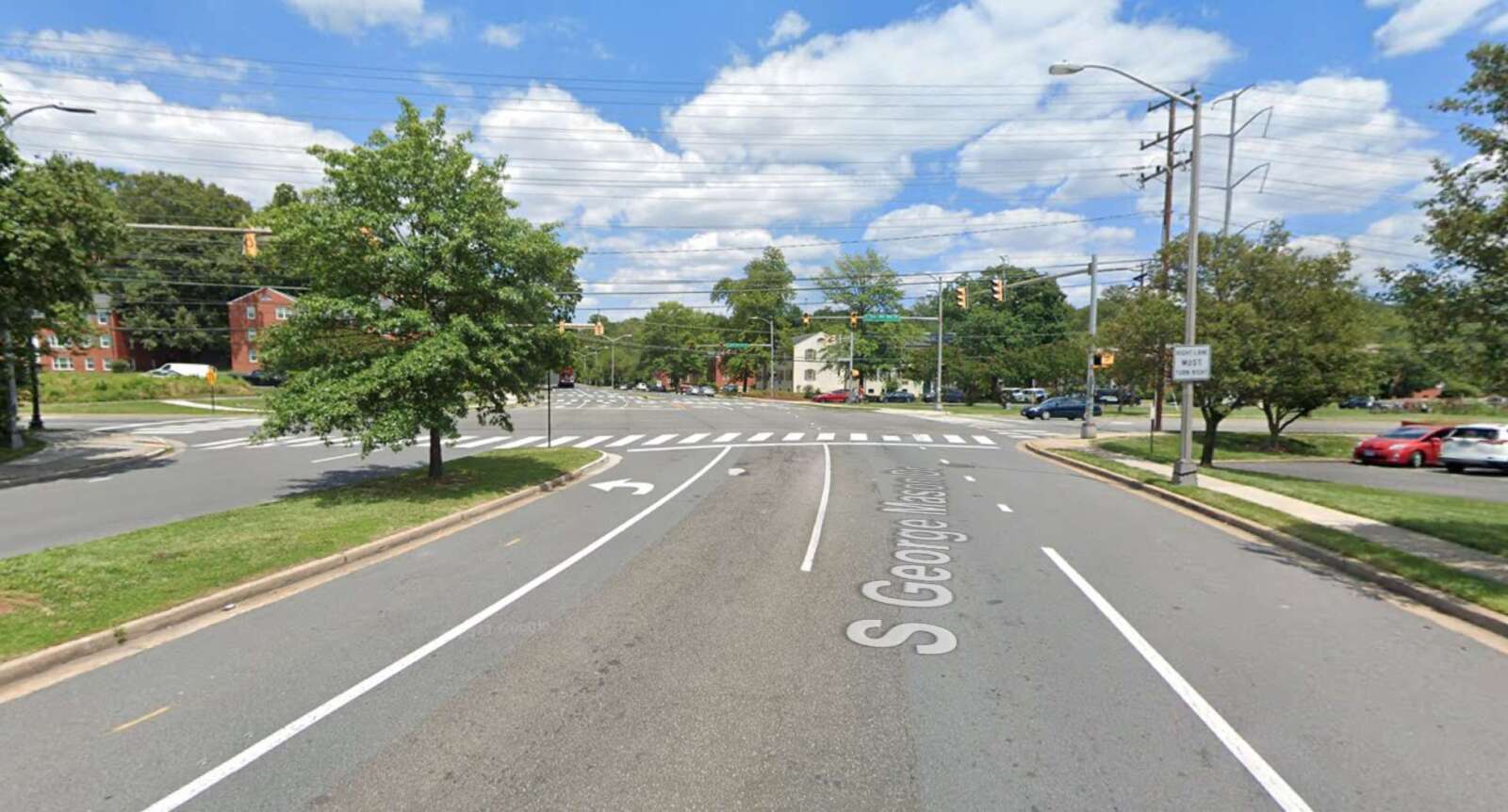
Members of the public can weigh in on proposed improvements to a stretch of S. George Mason Drive that’s being studied.
The road renovation project from Arlington Blvd to the Fairfax County border is part of the South George Mason Drive Multimodal Transportation Study, which aims to “identify improvements” along this “key corridor,” according to the project’s website.
Residents can provide online feedback on proposed design concepts through Sunday, Aug. 7.
The stretch of the roadway being studied is divided into three segments:
- between Arlington Blvd and Columbia Pike
- between Columbia Pike and S. Four Mile Run Drive
- between S. Four Mile Run Drive and the Fairfax County border
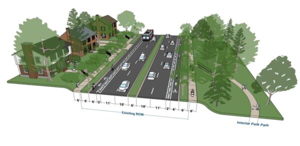
Earlier this month, the county’s Dept. of Environmental Services released its preliminary designs for the three road segments. The first option for all three segments would separate cyclists and cars into different lanes on both sides of the road, and widen the sidewalks and the vegetation buffers on both sides to six feet, according to the concept plans.
However, this design would increase the number of lanes pedestrians have to cross, as well as remove sections of on-street parking and require additional right-of-way behind the curb. Buses would also have to enter the bike lane to pick up passengers, instead of pulling up to the curb, according to an online community meeting.
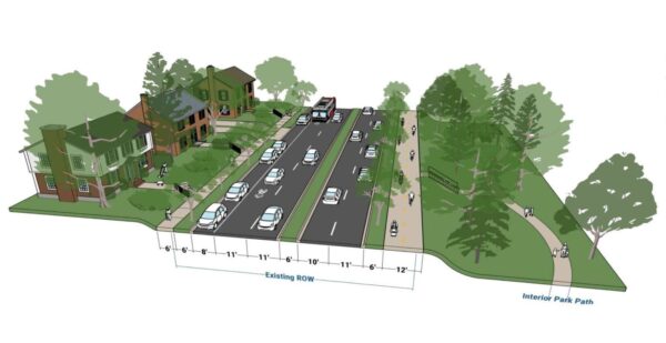
The second option for the segment from Arlington Boulevard to Columbia Pike would widen the west side sidewalk to a 12-foot, multi-use trail and the east sidewalk to six feet. It would also narrow the driving lanes while keeping the parking lane on the east side. The new multi-use trail would connect several county parks, such as Alcova Heights Park and trails like the Arlington Boulevard Trail.
However, this design would remove parking on the west side and require signal phasing changes to reduce conflict with people on the multi-use trail.
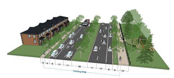
The second design option for the segment from Columbia Pike to S. Four Mile Run Drive would be largely similar except it would keep the two parking lanes on both sides of the road.
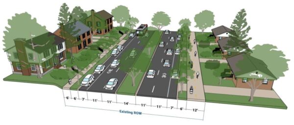
The second design plan for the third road segment would narrow all the driving lanes between S. Four Mile Run and the Fairfax County border to 11 feet and the central median to 14 feet, but it would widen the vegetation buffers on both sides and the sidewalk on the west side to a 12-foot, multi-use trail.
However, this plan may result in tree removal due to narrowing the central median, as well as the removal of some parking spots at intersections and driveways. The county would need to consider more design details, such as how the new road would interact with the driveways of houses along the road segment.
The corridor study is set to conclude between October and November this year. The county then plans to apply for grant funding from the Northern Virginia Transportation Authority.
Photos via Google Maps


