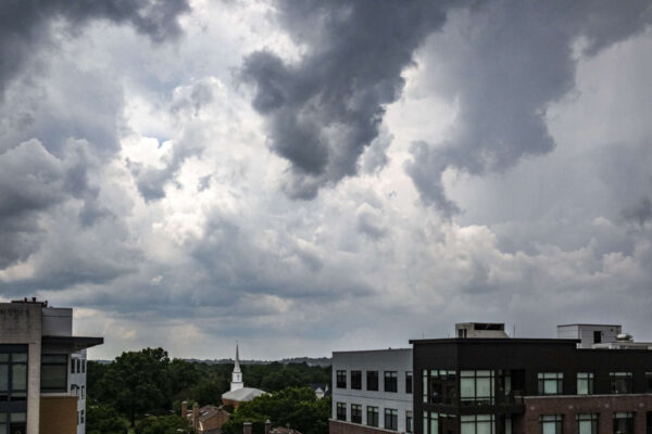
Update at 1:20 p.m. on 7/9/23 — Arlington County and surrounding areas are now under a Severe Thunderstorm Watch in addition to the Flood Watch. Damaging wind and hail are possible from the storms, forecasters say.
A severe thunderstorm watch has been issued for parts of Delaware, District of Columbia, Maryland, New Jersey and Virginia until 8 PM EDT pic.twitter.com/HgwSdM3LD0
— NWS Severe Tstorm (@NWSSevereTstorm) July 9, 2023
Earlier: More slow-moving downpours are expected later in the day on Sunday, prompting a Flood Watch.
The new alert from the National Weather Service comes a day after one such storm drenched much of Arlington County, leading to a Flash Flood Warning as well as water rescues near Pentagon City.
The Flood Watch is in effect from noon to 10 p.m. Sunday for Arlington, D.C. and much of the region.
More from NWS:
…FLOOD WATCH IN EFFECT FROM SUNDAY AFTERNOON THROUGH SUNDAY EVENING…
* WHAT…Flash flooding caused by excessive rainfall is possible.
* WHERE…Portions of DC, Maryland and northern Virginia, including the following areas: in DC, District of Columbia. In Maryland, Anne Arundel, Calvert, Carroll, Cecil, Central and Southeast Howard, Central and Southeast Montgomery, Charles, Frederick MD, Northern Baltimore, Northwest Harford, Northwest Howard, Northwest Montgomery, Prince Georges, Southeast Harford, Southern Baltimore and St. Marys. In northern Virginia, Arlington/Falls Church/Alexandria, Central and Southeast Prince William/Manassas/Manassas Park, Eastern Loudoun, Fairfax, Northern Fauquier, Northwest Prince William, Southern Fauquier, Stafford and Western Loudoun.
* WHEN…From Sunday afternoon through Sunday evening.
* IMPACTS…Excessive runoff may result in flooding of rivers, creeks, streams, and other low-lying and flood-prone locations. Flooding may occur in poor drainage and urban areas.
* ADDITIONAL DETAILS…
– Slow moving thunderstorms capable of producing very heavy rainfall are expected across the watch area Sunday afternoon into Sunday evening. A widespread 1 to 2 inches of rainfall is expected across the watch area, with isolated totals in excess of 4 inches possible. This heavy rainfall may lead to rapid rises of water on creeks, streams, urban and poor drainage areas, and in other flood-prone locations.
– Please visit www.weather.gov/safety/flood for flood safety and preparedness information
A Flood Watch has been issued across the DC & Baltimore metros for Sunday afternoon through Sunday evening. Remember to stay weather aware and if you encounter high water on the road, 'Turn Around, Don't Drown'. #MDwx #VAwx #DCwx pic.twitter.com/6fcojV92A0
— NWS Baltimore-Washington (@NWS_BaltWash) July 8, 2023
⚠️A Flood Watch goes into effect tomorrow afternoon into tomorrow evening for much of the area. Slow moving thunderstorms may cause excessive rainfall of 1 to 2 inches, with some areas getting more than 4 inches. This may lead to flooding of rivers, creeks, streams, and low-lying… pic.twitter.com/3xy4CinrnC
— Washingtonian Weather Geeks (@WashingtonianWx) July 8, 2023
#WPC_MD 0673 affecting Northern Mid-Atlantic, #nywx #njwx #pawx #dewx #mdwx #dcwx #vawx #wvwx, https://t.co/YrpHmR22R0 pic.twitter.com/Cw49ccxYXJ
— NWS Weather Prediction Center (@NWSWPC) July 9, 2023

