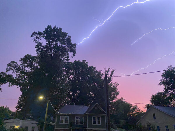
A strong storm is approaching Arlington from the west, prompting a Severe Thunderstorm Warning.
Fueled by today’s heat and humidity, the storms are packing potentially damaging winds, torrential rain and lightning. The current warning covers most of Arlington County, except the northernmost portion, through 7:30 p.m.
More from the National Weather Service:
The National Weather Service in Sterling Virginia has issued a
* Severe Thunderstorm Warning for… The southeastern District of Columbia… West central Prince Georges County in central Maryland… Arlington County in northern Virginia… The City of Falls Church in northern Virginia… East central Fairfax County in northern Virginia… The City of Alexandria in northern Virginia…
* Until 730 PM EDT.
* At 653 PM EDT, a severe thunderstorm was located over Lake Barcroft, or over Falls Church, moving east at 15 mph.
HAZARD…60 mph wind gusts and quarter size hail.
SOURCE…Radar indicated.
IMPACT…Damaging winds will cause some trees and large branches to fall. This could injure those outdoors, as well as damage homes and vehicles. Roadways may become blocked by downed trees. Localized power outages are possible. Unsecured light objects may become projectiles.* Locations impacted include…
Arlington, Alexandria, Annandale, Springfield, Fort Washington, Fort Hunt, Groveton, Falls Church, Huntington, Coral Hills, Pimmit Hills, National Harbor, Reagan National Airport, Crystal City, Nationals Park, Lincolnia, Franconia, Oxon Hill, Merrifield and Lake Barcroft.
HAIL THREAT…RADAR INDICATED
MAX HAIL SIZE…1.00 IN
WIND THREAT…RADAR INDICATED
MAX WIND GUST…60 MPH
Severe Thunderstorm Warning including Arlington VA, Alexandria VA and Reagan National Airport VA until 7:30 PM EDT pic.twitter.com/Xv2tj6JU7K
— NWS Baltimore-Washington (@NWS_BaltWash) July 27, 2023
6:50p: A ton of lightning with the storms west and NW of DC, especially in Fairfax County. Many of the strikes are occurring outside of where rain is reaching the ground. If you can hear thunder, you’re close enough to get struck by lightning. (image from WeatherBug Spark) pic.twitter.com/5zbHU2nt1L
— Capital Weather Gang (@capitalweather) July 27, 2023

