Launched in January 2010, ARLnow.com is the place for the latest news, views and things to do around Arlington, Virginia. Started by a Pentagon City resident who has spent the past several years working in local TV news, ARLnow.com seeks to distinguish itself with original, enterprising, up-to-the-minute local coverage.
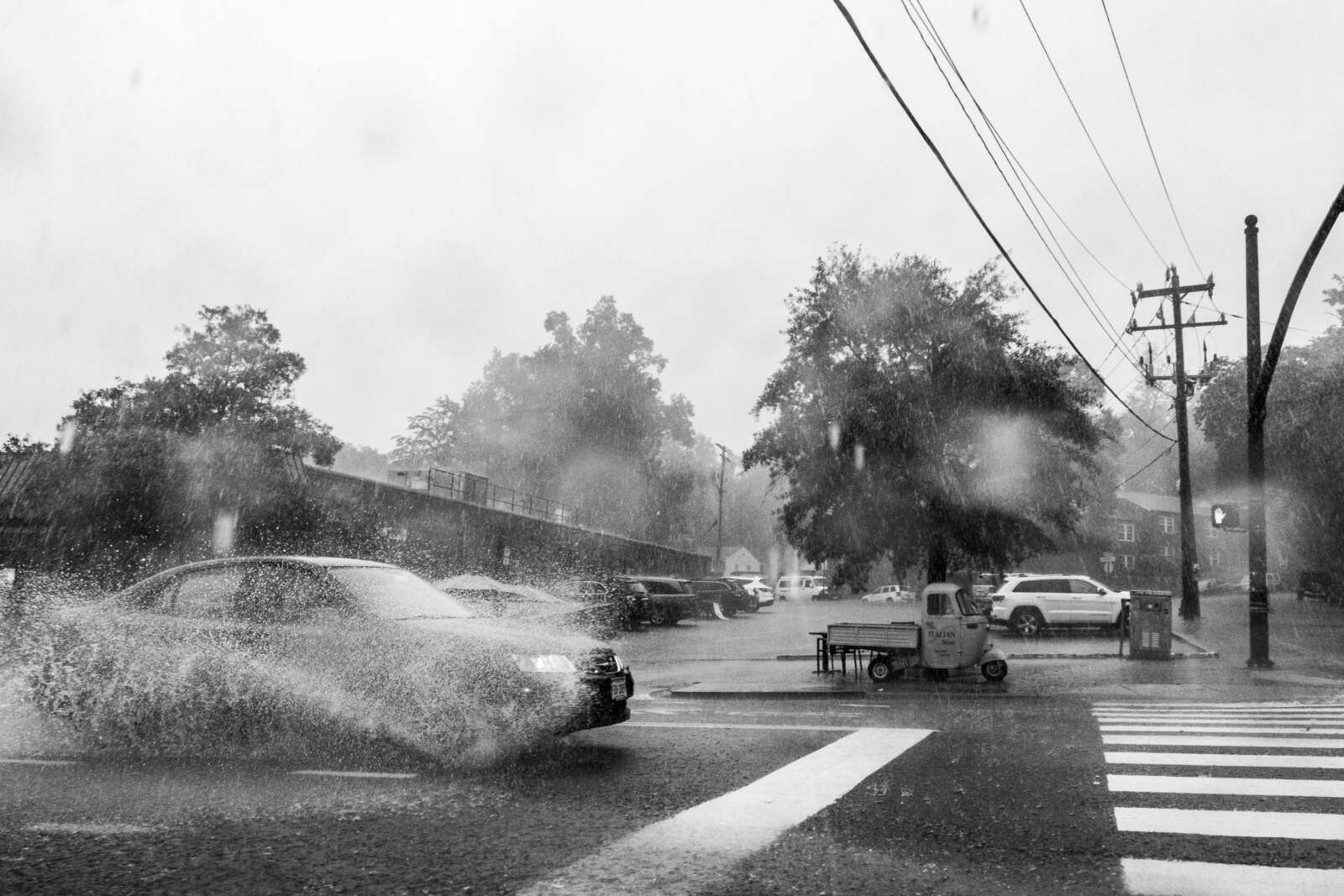
Get ready for some wild weather over the next day and a half.
First up are some storms tonight (Sunday) that are likely to be packing torrential rainfall. The heavy rain could cause flash flooding, prompting a Flood Watch to be issued this afternoon, taking effect at 8 p.m.
More from the National Weather Service:
239 PM EDT Sun Aug 6 2023
…FLOOD WATCH IN EFFECT FROM 8 PM THIS EVENING TO 2 AM EDT MONDAY…
* WHAT…Flash flooding caused by excessive rainfall is possible.
* WHERE…Portions of DC, Maryland and northern Virginia, including the following areas: in DC, District of Columbia. In Maryland, Anne Arundel, Central and Southeast Howard, Central and Southeast Montgomery, Prince Georges, Southeast Harford and Southern Baltimore. In northern Virginia, Arlington/Falls Church/Alexandria, Central and Southeast Prince William/Manassas/Manassas Park, Fairfax and Stafford.
* WHEN…From 8 PM this evening to 2 AM EDT Monday.
* IMPACTS…Excessive runoff may result in flooding of rivers, creeks, streams, and other low-lying and flood-prone locations.
* ADDITIONAL DETAILS…
– Heavy rainfall moving through with the potential for 1 to 2 inches of rainfall, locally higher, in a short period of time.
– Please visit www.weather.gov/safety/flood for flood safety and preparedness information
A Flood Watch is in effect from 8PM this evening to 2AM Monday. Showers and thunderstorms are expected to move through the watch area with the potential to produce 1-2 inches of rainfall in a short time frame. Locally higher precipitation totals are possible. #VAwx #DCwx #MDwx pic.twitter.com/T5k7cxvzzP
— NWS Baltimore-Washington (@NWS_BaltWash) August 6, 2023
Monday has the potential for even more active weather.
Arlington, D.C. and other parts of the region are under an “enhanced” risk of severe weather, according to a National Weather Service outlook. Severe winds are likely, according to NWS forecasters, noting the “seriousness” of the threat.
Meanwhile, large hail and even a tornado are also possible in the D.C. area.
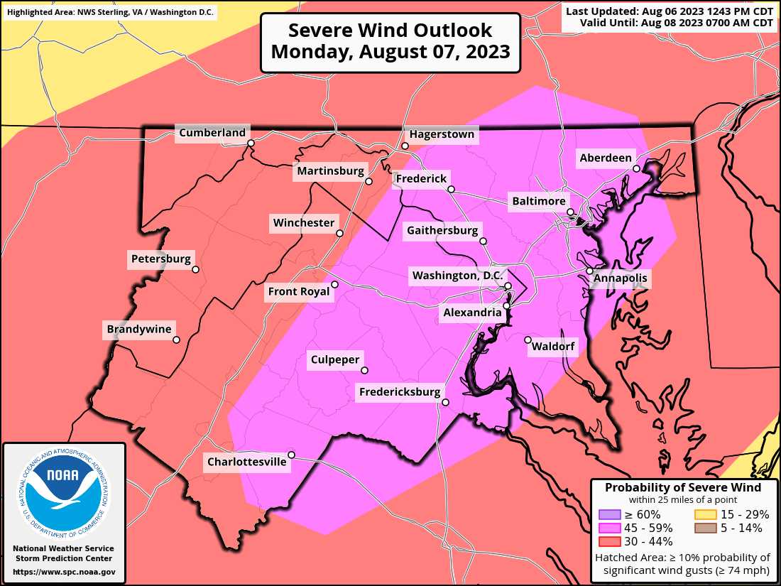
According to NWS, this is the first time that D.C. has ever had a 45% or greater risk of severe winds on its next-day outlook.
The last instance of such a high probability of severe winds was the same-day outlook on Halloween day 2019.
Monday continues to look like a very busy & significant day across the region. We were upgraded to a level 3 out of 5 risk for severe storms overnight.
All hazards are on the table with even the potential for a couple tornadoes. Stay weather aware! #vawx #mdwx #dcwx #wvwx pic.twitter.com/mmTFL6ibHa
— Washingtonian Weather Geeks (@WashingtonianWx) August 6, 2023
The National Weather Service has placed the DC region under a level 3 out of 5 for severe potential late Monday, which means “numerous severe storms possible.” Damaging winds, hail, an isolated tornado are all possible. More details in our full forecast: https://t.co/zESWh64XVn pic.twitter.com/svM66OY4MX
— Capital Weather Gang (@capitalweather) August 6, 2023


