A collision at a busy intersection in Lyon Park blocked traffic during the Monday evening rush hour.

The crash happened just before 5 p.m., at the intersection of N. Daniel Street and 10th Street N. One vehicle, a Volvo XC70, tipped to its side while a Mitsubishi Eclipse was severely damaged.

Two ambulances were dispatched to the scene, though no serious injuries were reported, according to the police scanner. The intersection was temporarily blocked by emergency vehicles; it reopened around 5:45 p.m.

At least two vehicle occupants were walking around the closed-off intersection speaking with police and taking photos of the crash.

Map via Google Maps


(Updated at 10:30 a.m.) It is pothole season in Arlington and crews have been busy repairing road issues around the county.

One way the county knows which potholes to repair is via residents submitting pothole reports on the county’s website. Between Feb. 13-20, 66 potholes were reported online, according to a list on the site.

As of the closing business day Tuesday, 19 potholes have been fixed or cleared by crews and another 47 are awaiting review and repair.

The cold but relatively snowless winter has not produced a bumper crop of potholes thus far, especially compared to 2015 when Arlington crews repaired a record-breaking 12,100 potholes across the county’s 26 square miles.

VDOT, it should be noted, is responsible for some of the major roads in Arlington.

The list of potholes submitted within the last week, after the jump.

(more…)


Travelers heading to or from Reagan National Airport should get ready for traffic impacts from construction starting next week.

Work will begin overnight from Monday, February 19 into Tuesday to prepare the building foundation for the new security checkpoints.

Roadway disruptions will initially be confined to overnight lane closures near terminal B/C, but will extend into the afternoon and evening hours later in the spring.

A project press release adds that “some temporary changes are coming inside the terminal that will affect the airline check-in process for some passengers.”

Nicknamed “Project Journey,” the one billion dollar infrastructure enhancement is scheduled to run through 2021. The finished project will bring two 50,000-square-foot buildings with security checkpoints, replacing three smaller checkpoints at terminal B/C. A new 14-gate concourse is in the works, which will include an American Airlines members lounge, replacing the notoriously difficult to access Gate 35X.

The airport has vastly outgrown its original passenger projections. It now serves about 24 million travelers a year, as opposed to the 14 million it was built to accommodate.


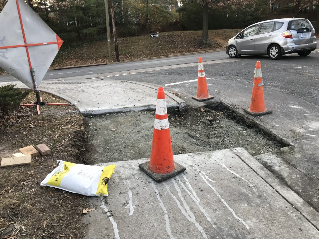
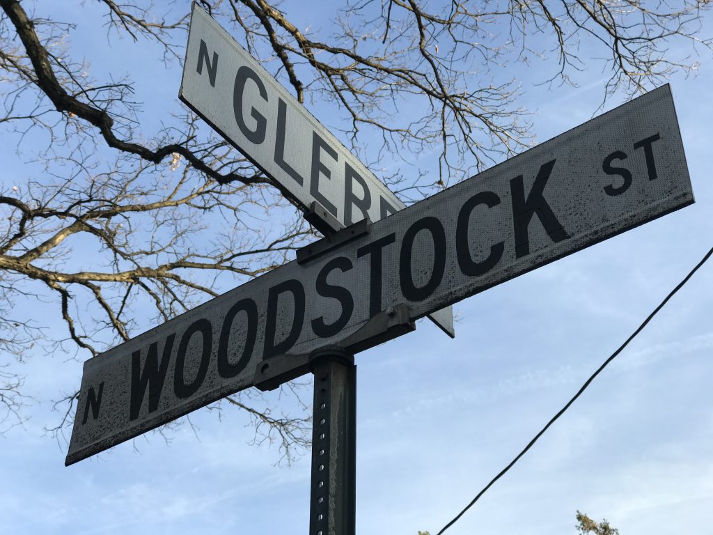
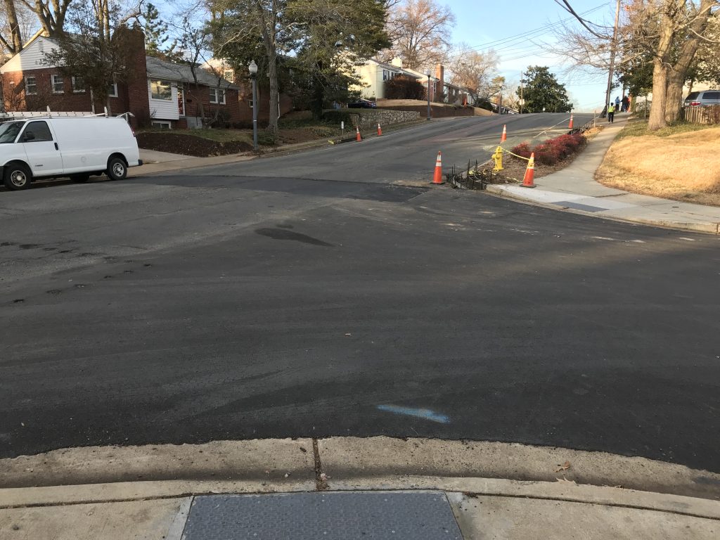
Work is progressing on the multiphase Columbia Pike utility undergrounding and streetscape improvement project.

The gas main relocation on Columbia Pike — between Four Mile Run and the Arlington/Fairfax line — is expected to be completed later this month, ending the pre-construction phase of the utility undergrounding that began in 2017. Northern Pipeline, Washington Gas’ contractor for the project, will coordinate with customers to change service over to the new gas mainline.

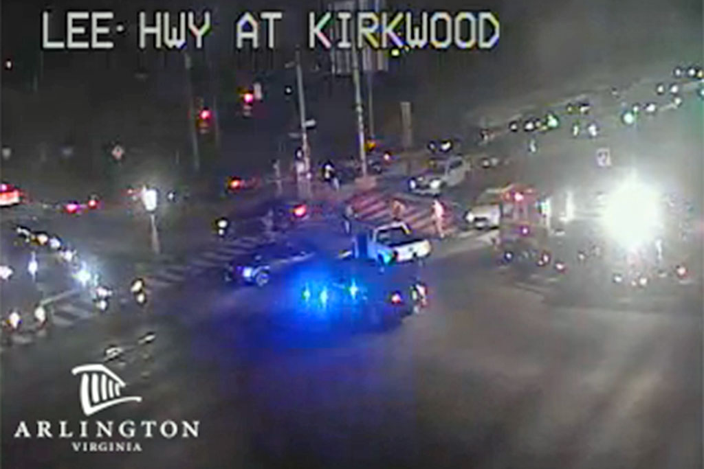
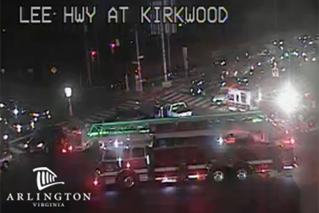
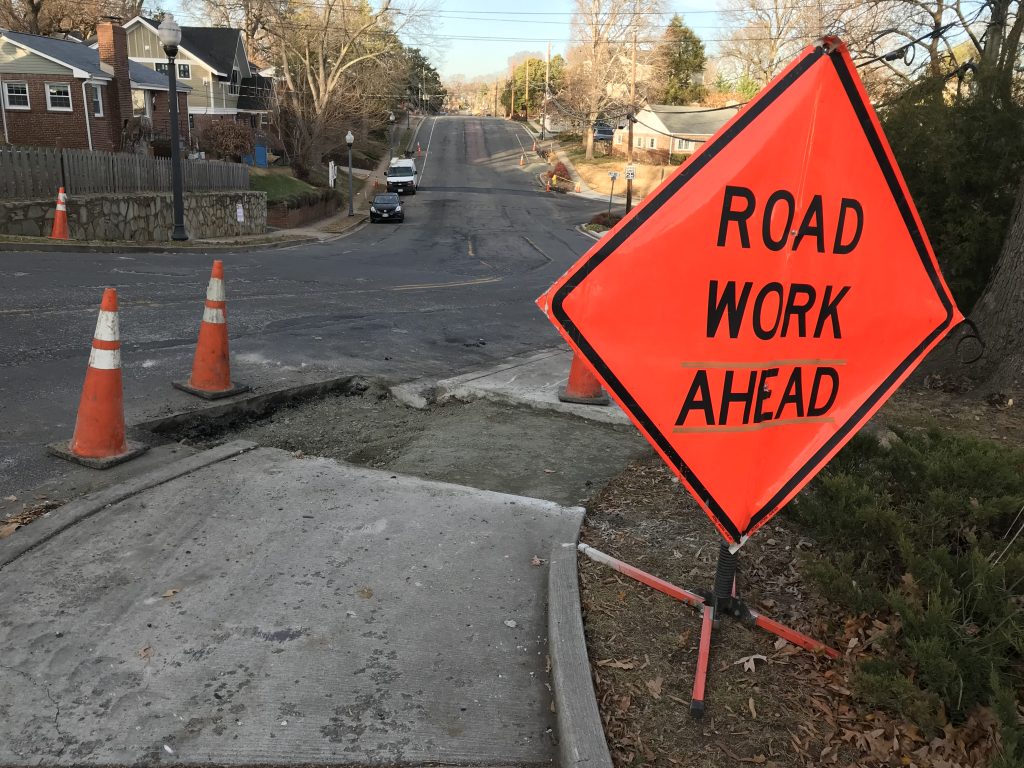
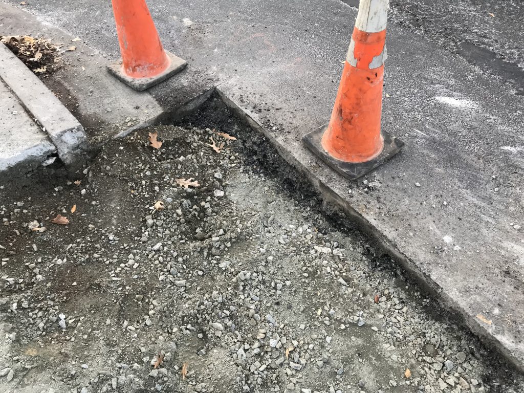
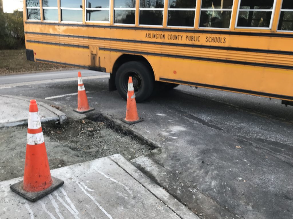
Drivers should expect traffic disruptions, lane closures, and possible left turn restrictions on Arlington’s western end of the Pike for the duration of the construction. This phase of the undergrounding project is expected to take three years to construct.

Three segments of the entire multimodal street project have already been completed. Another three construction segments have yet to begin, and the entire project is estimated to continue through 2021, according to Arlington’s Dept. of Environmental Services. Those three segments run from S. Wakefield Street to S. Oakland Street, from S. Garfield Street to S. Quinn Street, and from S. Orme Street to S. Joyce Street.

A DES press release stated that the work was intended to “make Columbia Pike a safer, more accessible route for all users.”

The $14.6 million construction contract, approved November 2017 by the County Board, also includes street improvements between Four Mile Run Bridge and S. Jefferson Street. Planned enhancements include wider sidewalks, upgraded traffic signals and street lights. Old water and sewer pipes will be replaced and overhead utilities will be buried.

An outdoor sculpture by Chicago-born Donald Lipski will be installed by Arlington’s Western Gateway, near Columbia Pike and South Jefferson Street, marking the entrance to Arlington from Fairfax County. Residents interested in email updates regarding the projects can sign up on the county’s project and planning website.


Single-lane, overnight closures will continue on I-66 inside the Beltway through the end of March, according to VDOT.

Crews are completing survey and “geotechnical investigation work” related to the I-66 eastbound widening project.

The single lane closures are scheduled for between 9:30 p.m. and 5 a.m. nightly between I-495 and Fairfax Drive (Route 237). Shoulder closures are intermittently planned from 12 p.m. to 3 p.m., weather permitting.

Real-time traffic information and lane and shoulder closure locations are available online.

More from the Virginia Department of Transportation press release:

The survey and geotechnical investigation work is needed prior to the start of construction that will add an additional through lane along four miles of eastbound I-66 between the Dulles Connector Road (Route 267) and Fairfax Drive (Exit 71) in Fairfax and Arlington counties. Other key project features include constructing a new bridge over Lee Highway for the Washington & Old Dominion (W&OD) Trail and providing direct access from eastbound I-66 to the West Falls Church Metro station by constructing a new ramp connection between two existing ramps (eastbound I-66 to Route 7 and the eastbound I-66 collector-distributor road adjacent to the station’s parking garage).
The additional lane will be open to traffic in fall 2020 and the overall project is expected to be complete in fall 2021.

Separately, VDOT has also announced additional overnight lane closures on Route 110 near the Pentagon.

On Monday night, Feb. 12 and Tuesday night, Feb. 13 between 10 p.m. and 5 a.m. each night, the northbound right lane of Route 110 at the Route 27 interchange and then the southbound right lane of Route 110 will be closed to allow crews to demolish and rebuild bridge piers, according to the Virginia Department of Transportation.

The closures will remain in place for approximately two months.

The work is part of the Route 27 over Route 110 project, which is scheduled for completion this summer.

Photo courtesy of Michael Coffman


An elevated portion of S. Clark Street is closing today ahead of a planned demolition project.

The $6.3 million project will remove the existing roadway and create new open space, sidewalks, landscaping and lighting, while also creating new development opportunities adjacent to Route 1.

The S. Clark Street overpass was underutilized, according to county traffic studies, but it was useful for those seeking a faster way to get from one side of Crystal City to the other.

Major work on the demolition project is expected to begin in March and wrap up in the summer of 2019. More from Arlington County about what to expect during the project:

The demolition project will generally work from north to south starting with the removal of the 15th Street overpass, scheduled to start in March.

  • Throughout the project, some detours will be in place to accommodate removal of the bridge structure. The first of these closures will be on 15th Street in early spring 2018. Details will be shared on the project webpage and in this email update as the temporary street closures are scheduled.
  • The at-grade portions of 14th Road South (between 12th and 15th Streets) and South Bell Street (between 15th and 18th Streets) will remain open throughout and after the demolition.
  • East-west pedestrian access under elevated Clark Street will be maintained throughout the duration of this project.
  • During removal of the bridges over 15th Street and 18th Street, one side of the sidewalk under the bridge will be closed but the other side will remain open.

Photo via Google Maps


Lee Highway is currently blocked at the Spout Run Parkway due to a crash in the middle of the intersection.

Initial reports suggest 2-3 vehicles were involved and at least one person might have been briefly trapped in their vehicle.

Police and firefighters are on scene and all lanes of Lee Highway are temporarily blocked due to the emergency response, though some lanes are expected to reopen shortly.


The threat of freezing rain has prompted early dismissals for students, government employees and private sector employees alike, but so far few if any problems have been reported in Arlington.

The early dismissals did create an early rush hour on local highways, as workers and students headed home, but here in Arlington roads and sidewalks remained passable and largely free of slick spots, despite a wave a sleet earlier this afternoon.

The precipitation is over for now, but more is possible this evening. A re-freeze is also threatening to make tomorrow’s morning commute treacherous.

The following tweets show activity during the two-hour-or-so span from the start of the sleet to the heaviest of the traffic.


A driver, possibly suffering a medical episode, drove into trees along southbound I-395 just past the 14th Street Bridge today.

The crash happened around 12:30 p.m. in the area of Boundary Channel Drive. A 911 caller reported that the man was unconscious but breathing and that smoke was coming from the hood of his SUV.

Virginia State Police were the first on scene and were assisted by Arlington County officers in shutting down a highway ramp and several lanes during the emergency response. A number of witnesses appear to have pulled over to help before police arrived.

The man was transported by medics to George Washington University Hospital with what were reported to be minor injuries, according to scanner traffic. The closed lanes have since reopened.


A big hole on the side of a road in the Waverly Hills neighborhood has been damaging cars that fail to steer around it.

At least one car was disabled and more damaged by the hole, according to police scanner traffic. No damaged cars were seen when an ARLnow.com reporter stopped by later in the day.

Located at the corner of N. Glebe Road and N. Woodstock Street, the hole appears to have been cut as part of road, curb and sidewalk work along Woodstock Street. While there are orange traffic cones around it, cars turning onto the residential street seem to have trouble squeezing by the hole when another is waiting at the stop sign to turn onto Glebe.


View More Stories