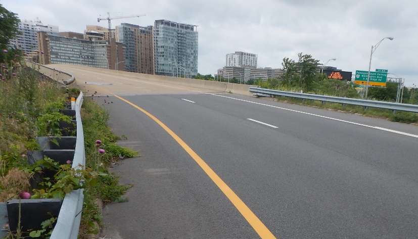
(Updated at 10:55 a.m.) The cherry blossoms have passed their peak and the days are getting warmer and longer. That means all signs point to the start of street paving season.

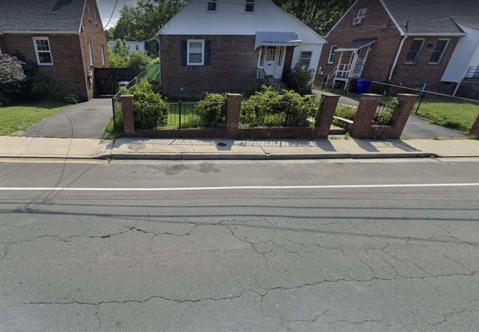
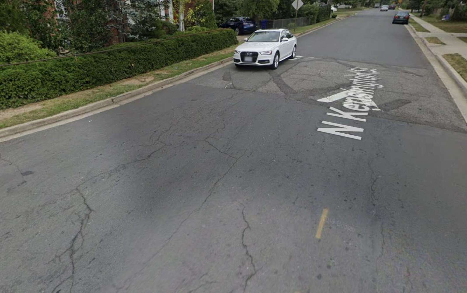
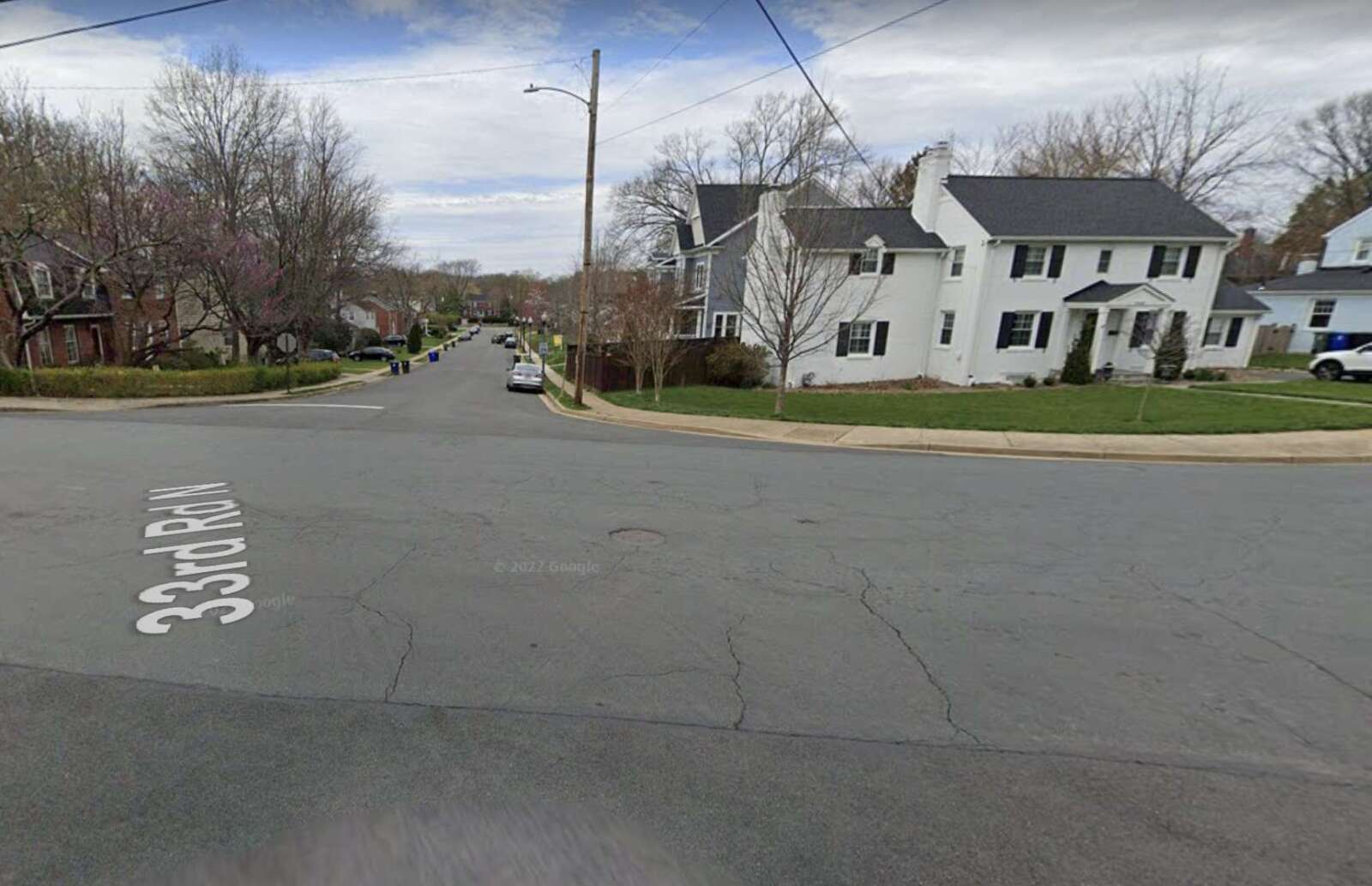
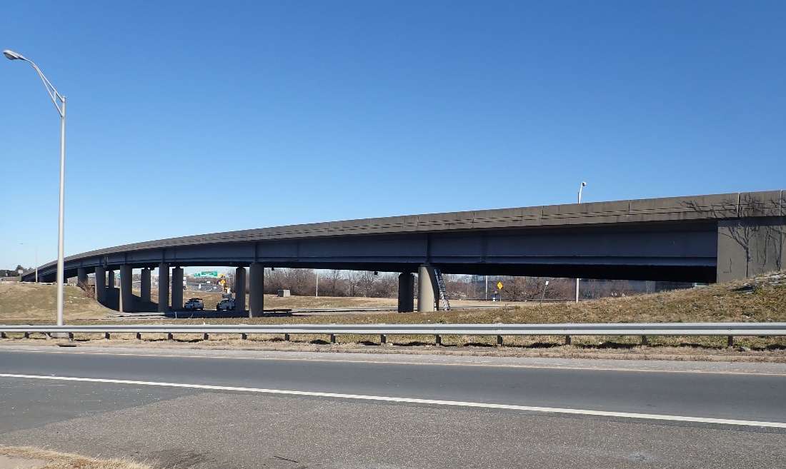
Every year, in March, the Dept. of Environmental Services embarks on its seasonal effort to repave some of its 1,061 lane miles of roadway. After stepping up repaving after years of anemic paving rates, the county has sharpened its focus on streets in poor condition and those that have a lot of traffic.

This year, nearly 58 lane miles are slated for repaving, says Dept. of Environmental Services spokesman Peter Golkin. That is down from 74 lane miles last year and below the county’s typical target of 72 miles per year.

“That’s a bit lower than previous years but it takes into account the milder winter allowing for more maintenance,” he said.

More maintenance throughout the winter resulted in fewer road segments with cracking and potholes — two of the metrics the county uses for ranking streets from “poor” to “excellent.”

“Also factored in: avoiding conflicts with current and upcoming projects by other County departments and Washington Gas,” he said.

A new map, released Tuesday, shows which streets the county will pave and repair.

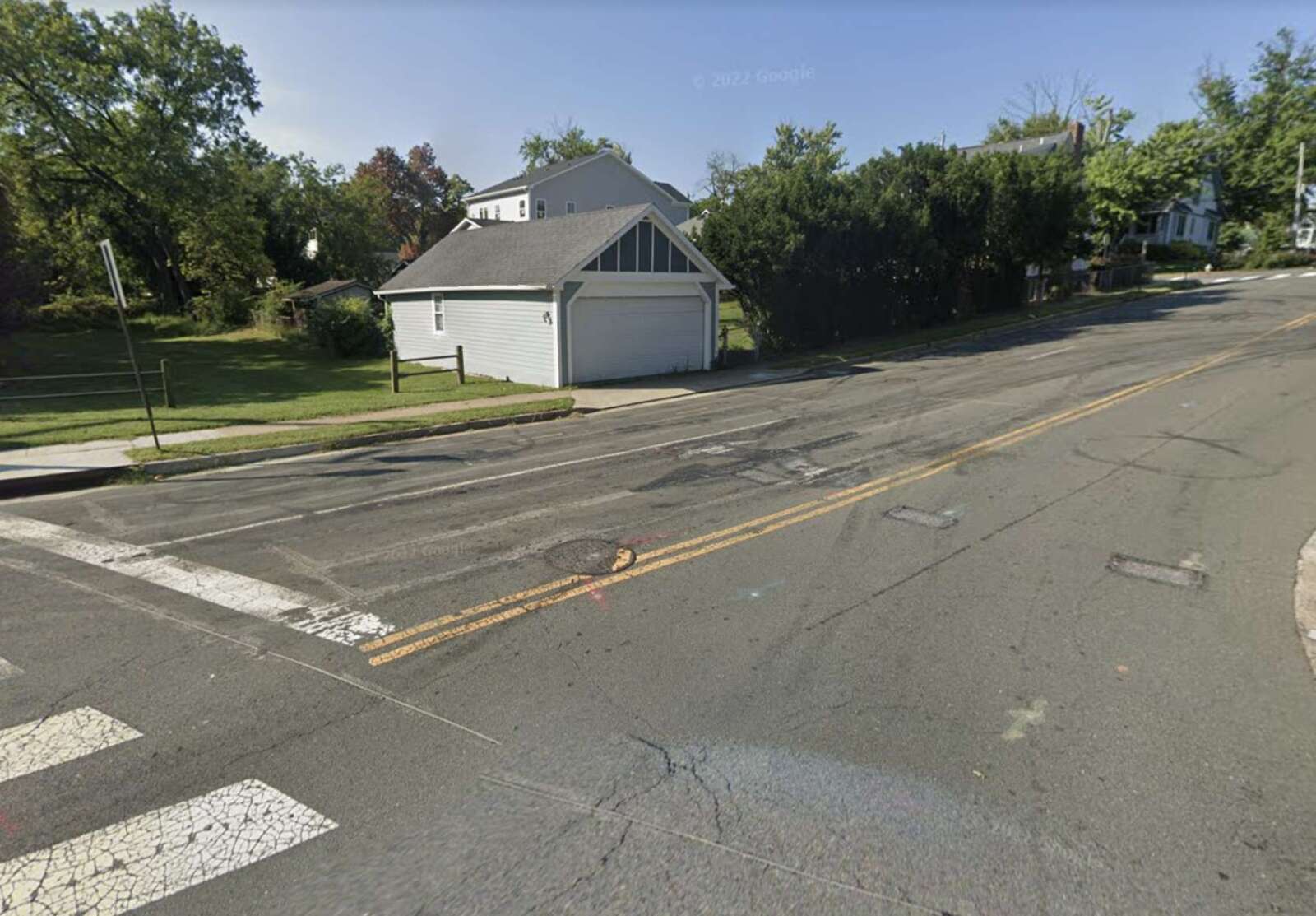
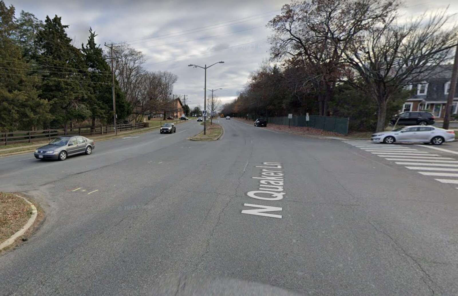
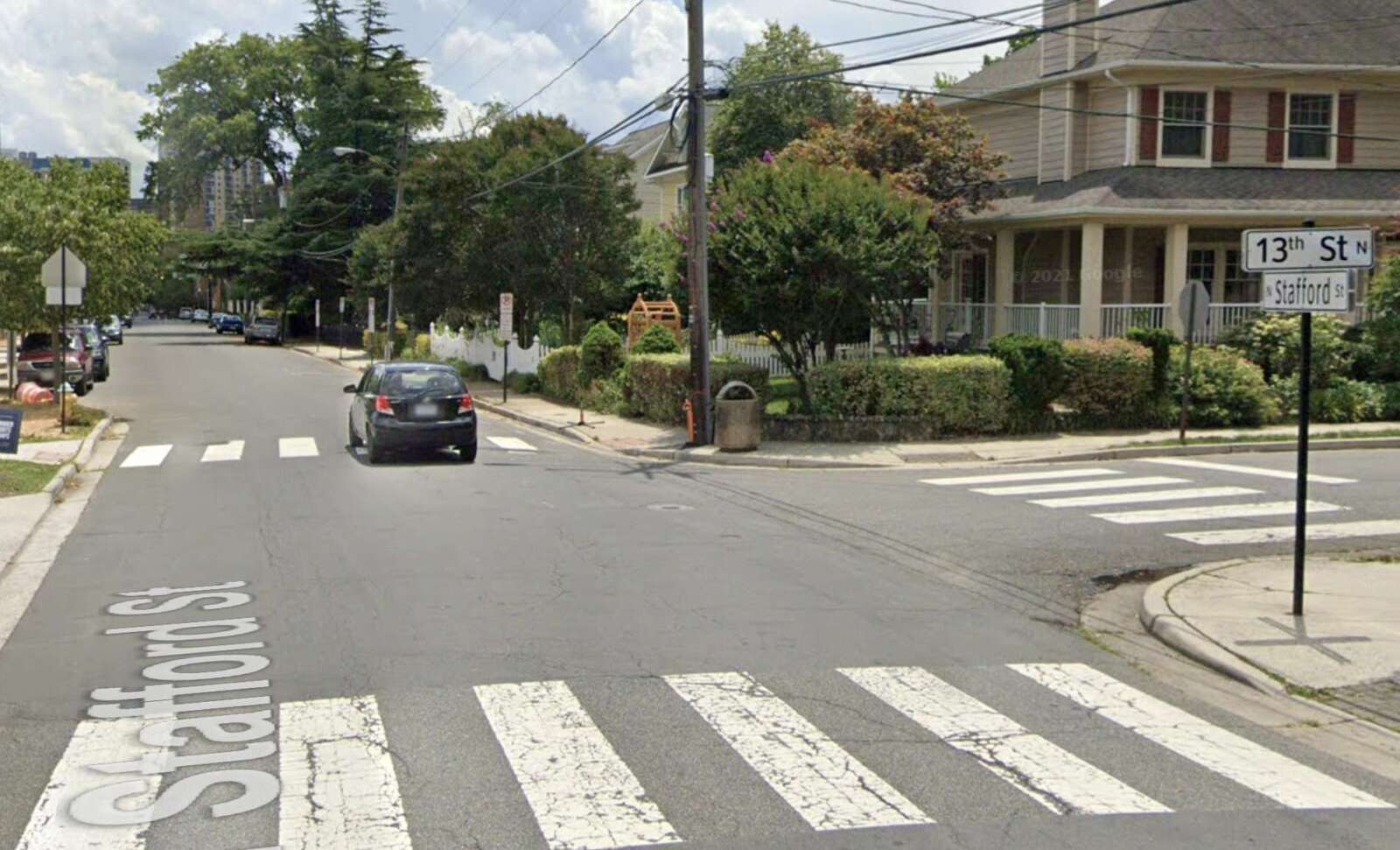
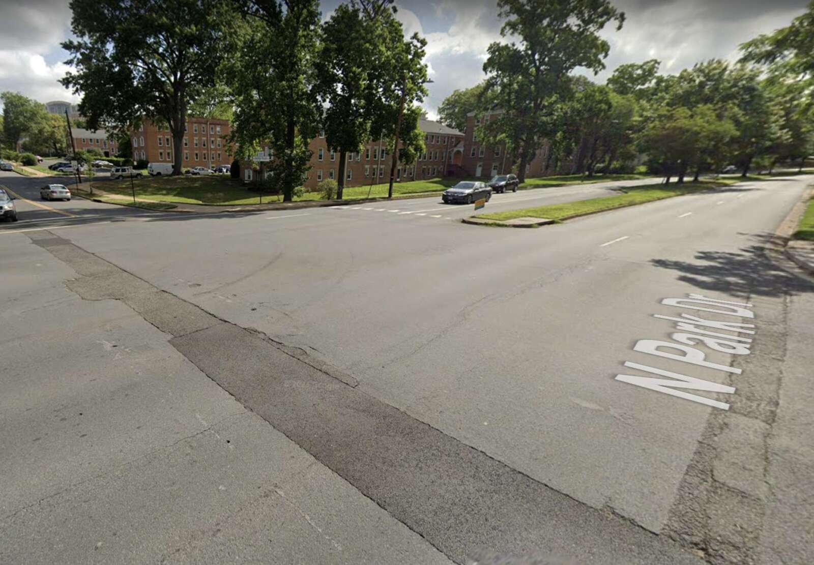
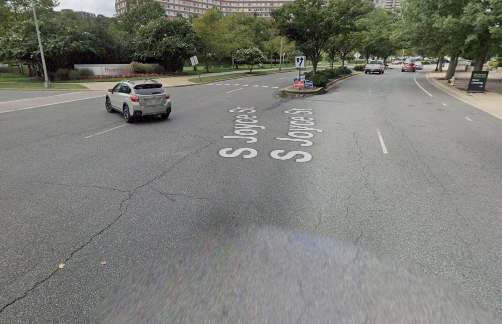
Some of the major streets slated for repavement include segments of:

“Paving season kicked off this week along S. Grant Street between 23rd and 24th Street S. with full depth paving,” Golkin said. “The more familiar mill and overlay work is starting somewhat later than usual, mid-April, to allow for public engagement regarding pavement markings and related safety features. Also, a new concrete maintenance contractor is getting a jump on some work pre-paving.”

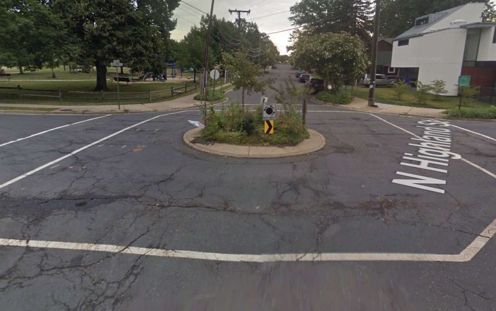
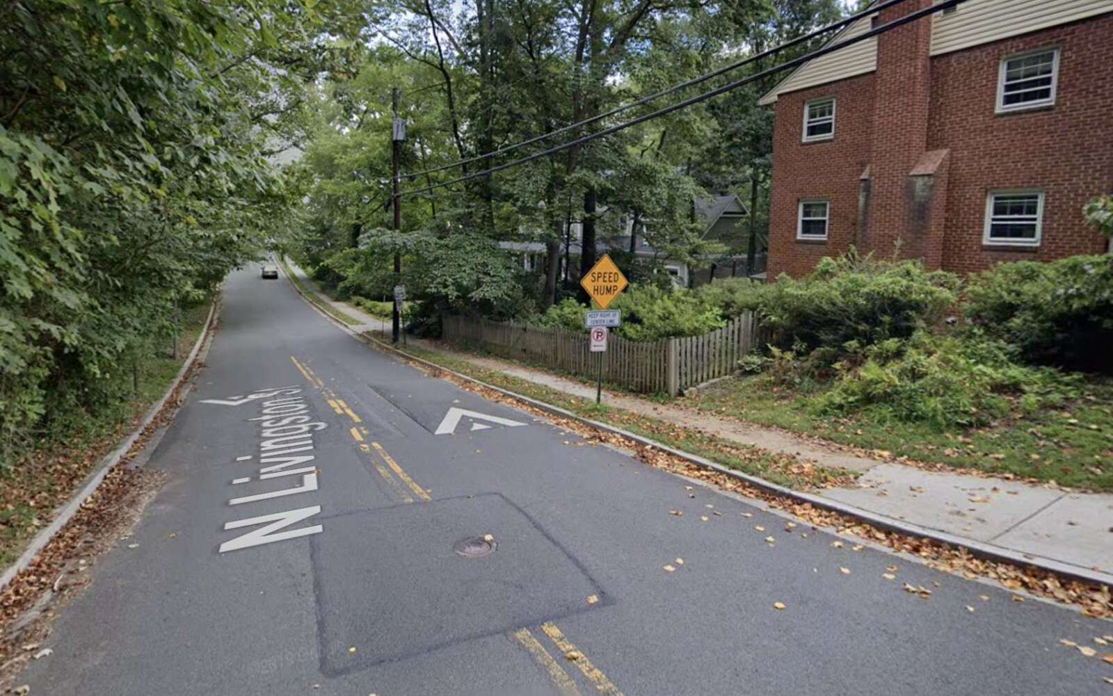
As part of the repaving project, some existing traffic-calming features will be repaved, including a traffic circle at N. Highland Street and 7th Street N. in Lyon Park and speed “cushions” on N. Livingston Street in the Boulevard Manor neighborhood, near the county line.

Over the last nine years, the county has worked to bring up the “pavement condition index” on its roads from an overall score of 67 (out of 100), which is considered “fair,” to 82.4, which is considered “good,” in 2021, according to the proposed Fiscal Year 2024 budget.

“With the improvement in average PCI to 82.4, the County will be placing more emphasis on re-builds for streets with low PCI and/or with high traffic impacts,” per the budget. “Arterials are repaved more often due to the traffic volumes and type of vehicles using them, while neighborhood streets get slurry seal treatment every seven to ten years to extend their life rather than re-paving them as often.”

Arlington County plans to spend $10.3 million on paving in the FY 2024 budget, compared to $11.5 million in FY 2023, according to budget documents.

The county, meanwhile, is also attending to potholes that may have formed during the winter months. So far in 2023, Arlington had some 260 potholes, compared to 663 for the first three months of 2022, Golkin says.

“Less freezing and less need for road salt during winter obviously helps keep road surfaces in better shape,” he said.

For the eighth year in a row, the D.C. area had a relatively mild winter. The Washington Post’s Capital Weather Gang declared the end of the season last week, noting winter hardly showed up.

Photos 3, 67, 10 and 12 via Google Maps


Route for the Rock ‘n’ Roll half-marathon (image via Rock ‘n’ Roll Running Series)

Drivers might want to keep clear of Memorial Bridge this Saturday morning: the bridge will be closed for The Rock n’ Roll Half Marathon.

While not listed among the extensive closures in D.C. connected to the race, United States Park Police Public Information Officer Sgt. Thomas Twiname confirmed to ARLnow that the bridge would be closed Saturday (March 18) morning for the half marathon.

The race is scheduled to start at 8 a.m. just east of the White House on Constitution Avenue.

While several D.C. streets will be closed to vehicle traffic from 6 p.m. on Friday to 6 p.m. on Saturday, the District Department of Transportation (DDOT) said in an email that the plan is to have the bridge cleared of runners by 9:30 a.m. — which gives runners an hour and a half to run from the White House, across the bridge, and back onto the D.C. side of the course.

“The approval for the bridge closure comes from [the National Park Service] and USPP,” DDOT said in an email. “From our understanding they are supposed to clear the bridge of runners by 9:30 a.m.”


The West Glebe Road bridge partially reopened yesterday, though pedestrian and bicycle traffic will have to wait to make use of the span over Four Mile Run.

The bridge had severely deteriorated, requiring partial closures over the years until the bridge was fully closed last summer.

Work then began to replace the deteriorated roadway substructure, while reusing existing piers to shorten the construction time and keep costs down, according to Arlington County.

The bridge partially reopened yesterday (Wednesday) with one lane open in each direction.

According to the county website:

As of March 8, 2023, the West Glebe Road bridge is open to motor vehicle traffic, with one lane open in each direction. Pedestrian and bike traffic will continue to detour on the temporary bridge to the east of the main bridge.

The bridge is expected to fully open in summer of 2023, after completion of work on parapets, substructure, and streetlights.

The county says the next phase of construction will see the bike lane, curb and sidewalk put into place.

The Four Mile Run Trail underpass on the north end of the bridge remains closed until reconstruction is completed.


Backups from crash on GW Parkway (via Google Maps)

(Updated at 4:15 p.m.) All southbound lanes of the GW Parkway are blocked by a crash near Key Bridge.

Drivers should expect significant delays in the area, with the backup in the southbound lanes now extending to Chain Bridge.

The parkway has been the scene of numerous crashes around a bend in the road near the bridge, especially during rainy weather days like today.

In another rainy GW Parkway crash earlier today, a vehicle ran off the northbound GW lanes and into the woods near Windy Run. Three occupants were able to get out of the car, per scanner traffic, and at least two were hospitalized.

Map via Google Maps


N. Park Drive and N. George Mason Drive intersection near Lubber Run Community Center (image via Google Maps)

Safety signage and markings are coming this spring to a long-troubled intersection near Lubber Run Community Center.

The intersection of N. Park Drive and N. George Mason Drive in the Arlington Forest neighborhood will be getting updated signage and street markings reading “SLOW SCHOOL XING” within the next few months, a county official has confirmed to ARLnow.

“Marking should be installed this spring, depending on the weather,” Dept. of Environmental Services (DES) spokesperson Claudia Pors wrote in an email.

The county is also aiming to get a traffic signal installed there, said Pors, but it would have to be funded in the next Capital Improvement Plan. There’s not yet a timeline for when that could happen and when a signal might be installed.

This is all in addition to the Rectangular Rapid Flashing Beacons that were installed there about two years ago.

The N. Park Drive and N. George Mason Drive intersection has long concerned neighbors due to the high rate of crashes there.

In October, residents told ARLnow that speeding drivers and the four-lane expanse made the intersection particularly dangerous. It’s also tricky for drivers on N. Park Drive — including those going to and coming from the Lubber Run Community Center — trying to cross or turn left on George Mason.

That’s in addition to the presence of Barrett Elementary School and hundreds of students one block away.

In the fall, neighbors provided testimony and photos to ARLnow that showed cars jumping curbs, vehicles ending up in the woods, and a near-miss between a bus and a motorcycle at the intersection.

DES said at the time that since the intersection had not been identified as part of its Vision Zero High-Injury Network corridor or Hot Spot program, it wasn’t eligible for any further safety upgrades beyond the flashing beacons. DES did promise to investigate further the possibility of adding more, though.

Data collected by the county since then has confirmed the concerns of neighbors and led to the addition of these new features at N. Park Drive and N. George Mason Drive.

“Crash analysis revealed there were four visible injury angle crashes within 18 months (April 2021 – Oct 2022) at this intersection, which escalated the importance of safety improvements,” Pors said.

The intent was always to review “the safety and operations of this intersection post completion of the Lubber Run Community Center,” she also noted.

The news of the updated signage, markings, and, potentially, a traffic signal was included in a recent edition of the Arlington Forest Civic Association newsletter, a reader shared with ARLnow.

“That’s huge for the neighborhood. I was surprised they didn’t put one in when they built the new community center,” the reader said.

Hat tip to Henry Grey


A Saturday morning crash in Pentagon City sent two people to the hospital after they were pulled from their overturned vehicle.

The crash happened around 8:30 a.m. at the intersection of Army Navy Drive and S. Eads Street and was caught on video (below) by local public safety watchdog Dave Statter.

“At approx. 8:31am the Arlington County Fire Department was dispatched for a vehicle crash with entrapment,” Arlington County Fire Department spokesman Capt. Nate Hiner. “Crews quick arrived on scene and found a two-vehicle crash, with two occupants trapped inside one of the vehicles. That vehicle was stabilized and both occupants were quickly extricated. They were transported from the scene to an area hospital with non-life-threatening injuries.”

Video of the crash shows the overturned vehicle, a blue Honda, traveling east on Army Navy Drive and getting t-boned in the intersection by a second vehicle, traveling north on Eads. It is unclear which driver had the green light.


Repairs are in progress on the bridge that takes traffic from southbound I-395 to Route 1 in the Crystal City area.

The $4 million Virginia Dept. of Transportation project will “improve safety and extend the overall life of the bridge,” which was originally built in 1976.

More from a VDOT press release:

Repairs are underway on the weight-restricted (20 tons) southbound I-395/Route 1 Exit 8C bridge, according to the Virginia Department of Transportation. The project will improve safety and extend the overall life of the bridge, which carries southbound Route 1 over the 395 Express Lanes, the northbound I-395 general purpose lanes and northbound Route 110.

The project includes retrofitting and spot painting structural steel, and replacing the catcher beam system and strip seal at the joint.

During the project, some day and overnight single-lane closures may be scheduled, along with occasional overnight full closures of the bridge with detours.

The bridge, which was originally built in 1976 and rehabilitated in 1999, is about a fifth of a mile long and averages 20,000 vehicles a day.

The $4 million project is financed with federal and state funding and is scheduled for completion in late 2023. […]

Drivers are reminded to use caution when traveling in active work zones. Be alert to new traffic patterns and limit distractions.

The entrance to the bridge has been the scene of numerous crashes caused by drivers trying to exit across multiple lanes at the last second, as documented by public safety watcher Dave Statter.


(Updated at 11 a.m.) There was yet another crash this morning involving an overturned vehicle in the “usual spot” on the GW Parkway.

Today’s wreck was reported around 8 a.m. on the northbound lanes of the GW Parkway, in a bend in the road near the Key Bridge. No one in the overturned SUV was trapped and only minor injuries were reported, according to scanner traffic.

The crash resulted in lane closures and backed up traffic on the Parkway for part of the morning rush hour.

This particular portion of the Parkway, as evidenced by the pockmarked stone wall and ripped-up grass, has seen numerous crash, particular when the roadway is wet.

Rep. Don Beyer (D-Va.) has been in touch with the National Park Service about safety on the GW Parkway, a spokesman told ARLnow this morning.

“Congressman Beyer’s office is in regular communication with NPS to improve safety including in that section of the parkway,” said Deputy Chief of Staff Aaron Fritschner. “The [Park Service] has indicated it is working to adjust signage to slow speeds in that specific area, which Rep. Beyer fully supports. The topography in that area makes any major structural road changes extremely difficult.”

ARLnow reported on recent crashes there on Oct. 2, Oct. 4, Oct. 5 (with overturned vehicle), and Oct. 31 (also with overturned vehicle). Other notable crashes nearby on the GW Parkway but not in that exact spot have been reported in February (with overturned vehicle and critical injury), November, and yesterday afternoon (with overturned vehicle).


A box truck has overturned on a residential North Arlington street.

The crash happened just after 11 a.m. at the intersection of N. Lexington Street and 22nd Street N., on the border of the Leeway-Overlee and Tara-Leeway Heights neighborhoods, south of Langston Blvd. It appeared to involve a truck collecting donations for the Vietnam Veterans of America and a BMW sport utility vehicle.

Initial reports suggest that the truck driver was treated by medics on scene after suffering minor injuries.

N. Lexington Street is currently blocked by police, though a local resident who was out walking her dog is attempting to direct traffic.

Jay Westcott contributed to this report


Traffic on I-395 looking south as the sun sets on Thanksgiving Eve in 2019 (Staff photo by Jay Westcott)

Thanksgiving week is here and, based on past polls, that means about 45% of you are traveling.

Our 2015 morning poll on the topic found that most local Thanksgiving travelers — about 75% — will do so by car, while 20% will travel by plane.

With that in mind, we have three key tips for Thanksgiving road and air travelers.

1. If driving, leave earlier or later in the day

Expect plenty of traffic if you’re planning to drive to your destination on Wednesday, but you can avoid some of it by leaving earlier in the morning or later at night. The same applies for those driving back on Saturday or Sunday.

“Based on the traffic data, periods of heavy congestion are most likely to occur from mid-morning to evening on Wednesday, Nov. 23, afternoon on Saturday, Nov. 26, and all day on Sunday, Nov. 27,” said a VDOT press release last week.

Based on a VDOT map of past travel trends, there is likely to be a fair amount of traffic in and out of Northern Virginia on Tuesday as well, particularly around the evening rush hour.

VDOT will be suspending most work zones and lane closures from Nov. 23-28, but that will only marginally ease the traffic onslaught.

2. Reserve your airport parking now

If you’re flying out of Reagan National Airport and planning to drive there, parking is currently widely available in all three lots.

However, you’re unlikely to find much — if any — parking by the time Wednesday rolls around. Fortunately, as of publication, online reservations were still available for Terminal 2 and economy parking.

DCA parking availability as of Nov. 21, 2022

Meanwhile, if you’re flying out of Dulles International Airport, don’t forget that the new Silver Line extension to Dulles is now open.

3. Drive carefully (and if you don’t, State Police might stop you)

With so many people on the roads, sometimes after having a few drinks, Thanksgiving weekend is sadly a time of many serious crashes nationwide.

That’s why authorities regularly encourage drivers to be extra careful this time of year.

Virginia State Police announced this morning that it would be conducting extra patrols and enforcement for Thanksgiving. More from a press release, below.

For many Virginians, gathering with family and friends is the true meaning for Thanksgiving. Some will even travel long distances to share in these wonderful family moments. Just as important as it is to make sure those pies and casseroles make it to the dinner table safely, motorists need to make their own safety a priority, as well. Virginia State Police is reminding all drivers and passengers of all ages to buckle up this holiday weekend. Preliminary data show that 54% of those who have died in traffic crashes this year were not wearing a seatbelt or safety restraint.*

“The fact that more than half of those who have lost their lives in traffic crashes this year were not wearing a seatbelt is a tragic and inexcusable reality for Virginia,” said Colonel Gary T. Settle, Virginia State Police Superintendent. “Your family wants you to arrive safely and clicking a seatbelt can help that happen. Virginia State Police and your loved ones want you to arrive at your destination safely – ditch distractions, comply with posted speed limits, never drive buzzed or drunk, and, again, always buckle up.”

(more…)


I-66 at sunset

If you plan on driving on I-66 during peak hours next month, make sure there are at least two other people in the car with you to avoid paying a toll.

I-66 is shifting from HOV-2 to HOV-3 in early December, the Virginia Department of Transportation (VDOT) recently announced. Starting Dec. 5, only those with traveling with three or more people will be eligible to avoid the tolls, which apply inside the Beltway during peak travel times and directions.

Single riders or those traveling with just two passengers will now have to pay a toll, at a price based on traffic volume — known as “dynamic tolling.”

The inside the Beltway I-66 tolling takes place on non-holiday weekdays from 3-7 p.m. westbound and 5:30-9:30 a.m. eastbound.

Hours of operation for I-66 Express Lanes inside of the Beltway (image via screenshot/VDOT)

VDOT also notes that in order to use the lanes during these rush hours, drivers need to have an E-ZPass transponder. The state transportation agency said in a press release that the new requirements are “consistent with HOV requirements on the other express lanes in Northern Virginia.”

The I-66 tolling inside of the Beltway started five years ago, accompanied by a g ood amount of griping about the high toll prices. Previously, the lanes could only be used by high occupancy vehicles during peak times, with no options for paying a toll.

Construction is now complete on the 22-mile section of Express Lanes outside of the Beltway that runs from Fairfax County into Prince William County, after about six years of work. The eastbound lanes are opening this weekend with the westbound lanes opening by the end of the month, both a few weeks ahead of schedule.

More from the press release:

Motorists can choose to use the 66 Express Lanes, which are adjacent to general purpose lanes on I-66, by paying a toll. Toll prices are dynamic, and fluctuate depending on traffic volumes and speed in order to manage demand for the lanes and keep traffic flowing. Eligible High Occupancy Vehicles (HOVs) can use the 66 Express Lanes toll-free but must have an E-ZPass Flex set to the “HOV On” mode.

Currently, vehicles must have two or more occupants to qualify as HOV on I-66. Starting Monday, Dec. 5, vehicles will need to have three or more occupants to qualify as HOV on I-66 and travel the express lanes without paying a toll. This change from HOV-2+ to HOV-3+ will apply across the entire I-66 corridor including the 22.5-miles of 66 Express Lanes located outside the Beltway, as well as the nine miles of 66 Express Lanes located inside the Beltway between I-495 and Route 29 in Rosslyn, which operate on weekdays during peak periods in peak commute directions. This HOV-3+ requirement is consistent with HOV requirements on the other express lanes in Northern Virginia.

This change from HOV-2+ to HOV-3+ also will take effect on the stretch of I-66 west of the express lanes between Haymarket and Gainesville where there will continue to be a traditional HOV lane that operates during peak travel periods.


View More Stories