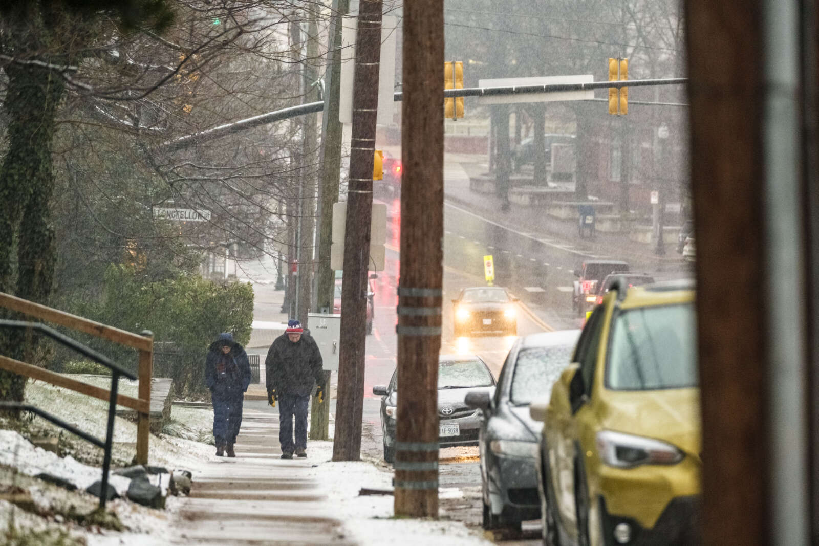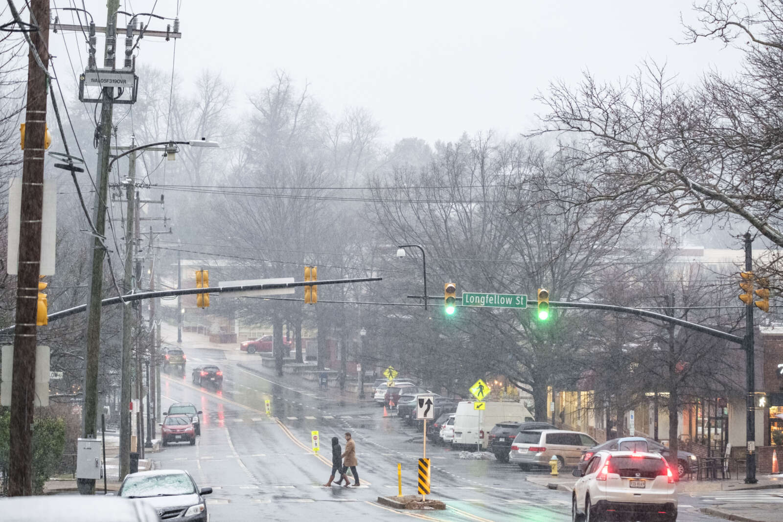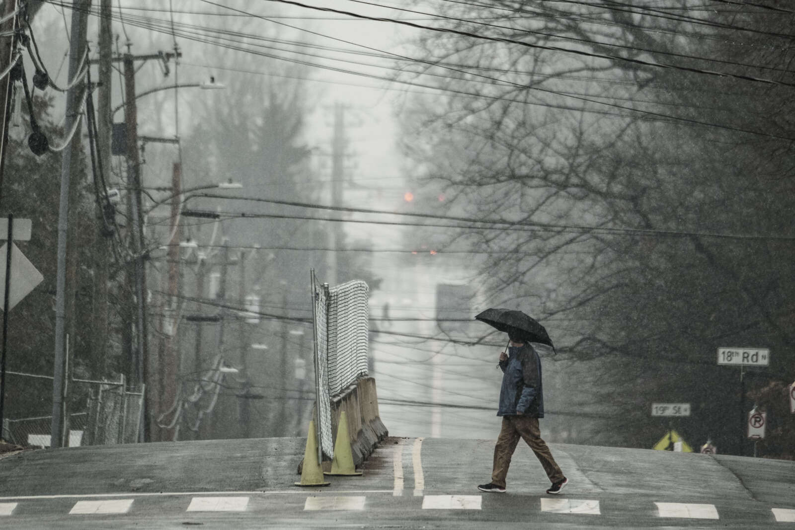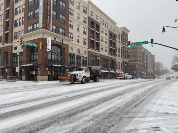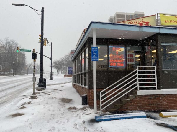
Bob & Edith’s Diner in the snow (staff photo by Matt Blitz)

Get ready for a wintry and windy Saturday.

A Winter Weather Advisory and Wind Advisory, both of which take effect Saturday morning, were just issued for Arlington. Forecasters expect wind gusts up to 55 mph and snow accumulation of 2-4 inches as a storm system moves up the East Coast.

From the National Weather Service:

325 PM EST Fri Mar 11 2022

…WINTER WEATHER ADVISORY IN EFFECT FROM 7 AM TO 3 PM EST SATURDAY…

* WHAT…Snow expected. Total snow accumulations of 2 to 4 inches. Northwest winds will gust around 45 to 55 mph.

* WHERE…Portions of central and northeastern Maryland, northern and central Virginia, and the District of Columbia, including most of the DC and Baltimore metros.

* WHEN…From 7 AM to 3 PM EST Saturday. Rain will change to snow between 7 and 9 AM early Saturday. The steadiest snow will be through Saturday morning.

* IMPACTS…Plan on slippery road conditions. Gusty winds could bring down tree branches.

* ADDITIONAL DETAILS…Visibility may be reduced to below one- quarter mile at times. Brief near blizzard conditions are possible between 8 and 11 AM.

PRECAUTIONARY/PREPAREDNESS ACTIONS…

Slow down and use caution while traveling.

When venturing outside, watch your first few steps taken on steps, sidewalks, and driveways, which could be icy and slippery, increasing your risk of a fall and injury.

Also from NWS:

326 PM EST Fri Mar 11 2022

…WIND ADVISORY IN EFFECT FROM 6 AM SATURDAY TO 1 AM EST SUNDAY…

* WHAT…Northwest winds 25 to 35 mph with gusts up to 55 mph.

* WHERE…Portions of northern and central Maryland, northern Virginia, and the District of Columbia including the DC and Baltimore metro areas.

* WHEN…From 6 AM Saturday to 1 AM EST Sunday.

* IMPACTS…Gusty winds could blow around unsecured objects. Tree limbs could be blown down. Several power outages may result.

* ADDITIONAL DETAILS…A few gusts to around 60 mph are possible. Strong winds may persist into early Sunday morning.

PRECAUTIONARY/PREPAREDNESS ACTIONS…

Use extra caution when driving, especially if operating a high profile vehicle. Secure outdoor objects. Prepare for power outages.

The Washington Post’s Capital Weather Gang is a bit more measured in terms of its snow accumulation prediction for Arlington, calling for a coating to 2-3 inches of snow accumulation, with higher amounts north and west.

The storm is expected to start as rain before changing over to snow mid-morning. In such scenarios, snows crews typically do not pre-treat roadways as the treatment would be washed away by the time the frozen precipitation starts.

VDOT said Friday afternoon that its plow crews are ready to tackle the snowy onslaught, while asking drivers to stay at home if at all possible.

VDOT Northern Virginia crews are ready for winter weather that is forecast to impact the region Saturday. The forecast shows precipitation starting as rain and turning to snow. Residents should be ready for high wind gusts and below freezing temperatures.

As always, residents are asked to monitor forecasts and plan ahead to avoid nonessential travel during winter weather.

What’s Happening Now

  • See the Winter Weather Advisory from the National Weather Service for precipitation for Saturday. The forecast includes periods of rain and accumulating snow, as well as increased winds. Please continue to monitor forecasts closely as forecasts can improve or worsen quickly.
  • Crews will mobilize overnight to treat state-maintained roads. Please drive with caution around plow trucks as they are heavy and move slowly.
  • Temperatures are expected to drop below freezing, causing potential icy conditions. Treat anything that looks wet as if it could be icy, especially bridges, ramps, overpasses, and elevated surfaces. If there is snow or ice on roadways, travel is hazardous.


High winds in Courthouse (staff photo by Jay Westcott)

Enjoy today’s potentially record-breaking warmth while it lasts — by midnight it will be gone with the wind (and storms).

A Wind Advisory has been issued for the D.C. area today and will take effect at 11 a.m. Forecasters say gusts of up to 50 mph are possible this afternoon and evening.

More from the National Weather Service:

…WIND ADVISORY IN EFFECT FROM 11 AM THIS MORNING TO 1 AM EST TUESDAY…

* WHAT…Southwest winds 15 to 25 mph with gusts up to 50 mph expected shifting to northwest this evening.

* WHERE…Portions of The District of Columbia, central, north central, northeast, northern and southern Maryland and central, northern and northwest Virginia.

* WHEN…From 11 AM this morning to 1 AM EST Tuesday.

* IMPACTS…Gusty winds could blow around unsecured objects. Tree limbs could be blown down and a few power outages may result.

Residents are advised to secure outdoor objects, to be careful when driving, and to prepare for possible power outages.

In addition to the wind, thunderstorms are possible today starting around 4 or 5 p.m. The storms could be severe.

On the back end of the storms, expect falling temperatures and a couple hours of rain.


It’s going to be a windy night, posing potential hazards for anyone outside.

Wind gusts up to 50 mph may cause tree limbs to fall, forecasters say. The National Weather Service issued a special weather statement about the strong gusts.

From NWS:

801 PM EST Tue Feb 22 2022

…ISOLATED WIND GUSTS UP TO 50 MPH…

South to southwest winds will gust frequently between 30 and 40 mph this evening. Isolated gusts up to 50 mph are possible. Gusty winds could blow around unsecured objects along with possible downed tree limbs. Winds should diminish late this evening and overnight, but it will remain breezy.

With the winds will come warmer weather. The current expected high on Wednesday is 70 degrees.


File photo

It’s going to get quite windy tonight.

Today will be breezy but winds will whip up even more after dark, with gusts up to 50 mph overnight ahead of a cold front. That could result in downed trees and power outages.

The National Weather Service has issued a Wind Advisory, in effect from 10 p.m. until 10 a.m. Friday.

More from NWS:

349 AM EST Thu Feb 17 2022

…WIND ADVISORY IN EFFECT FROM 10 PM THIS EVENING TO 10 AM EST FRIDAY…

* WHAT…South to southwest winds 20 to 30 mph with gusts up to 50 mph expected. Winds will quickly turn northwest behind a cold front after 3 AM.

* WHERE…The Baltimore and Washington Metropolitan areas, northern Virginia, northern and central Maryland, and the eastern Panhandle of West Virginia.

* WHEN…From 10 PM this evening to 10 AM EST Friday.

* IMPACTS…Gusty winds could blow around unsecured objects. Tree limbs could be blown down and a few power outages may result.

PRECAUTIONARY/PREPAREDNESS ACTIONS…

Use extra caution when driving, especially if operating a high profile vehicle. Secure outdoor objects.


Sunday afternoon snow in Westover last month (staff photo by Jay Westcott)

Arlington is expected to get 1-2 inches of snow tomorrow, prompting the National Weather Service to issue a Winter Weather Advisory this morning.

The advisory cautions against slippery conditions on local roads as a result of the snow, which is expected to start falling overnight. The snow should wrap up before the kickoff of the Super Bowl Sunday evening.

The advisory from NWS is below.

1000 AM EST Sat Feb 12 2022

…WINTER WEATHER ADVISORY IN EFFECT FROM 1 AM TO 4 PM EST SUNDAY…

* WHAT…Snow expected. Total snow accumulations of 1 to 2 inches, with up to 4 inches locally.

* WHERE…The District of Columbia, portions of central, northeast and northern Maryland and central, northern and northwest Virginia.

* WHEN…From 1 AM to 4 PM EST Sunday.

* IMPACTS…Plan on slippery road conditions.

* ADDITIONAL DETAILS…The heaviest accumulations will be on non-paved surfaces.

PRECAUTIONARY/PREPAREDNESS ACTIONS…

Slow down and use caution while traveling.

When venturing outside, watch your first few steps taken on steps, sidewalks, and driveways, which could be icy and slippery, increasing your risk of a fall and injury.


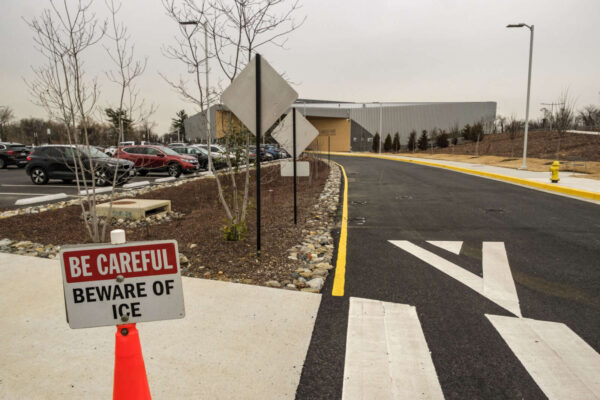
A sign cautions visitors to icy conditions at Long Bridge Park and Aquatic Center (staff photo by Jay Westcott)

Forecasters are warning of possible ice issues Tuesday morning.

After a rainy Monday, temperatures are expected to drop below freezing overnight. That could cause icy spots and hazardous driving conditions.

More from the National Weather Service:

836 PM EST Mon Feb 7 2022

…Icy Spots Possible into Tuesday Morning…

Temperatures will drop below freezing after the precipitation ends tonight across portions of northern and central Virginia. This may cause wet surfaces to freeze, causing the possibility of icy spots into Tuesday morning. Anyone travelling overnight into Tuesday morning should allow extra time to get to their destinations.


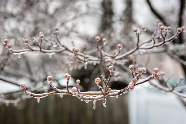
Ice on tree branches (Flickr pool photo by Dennis Dimick)

Update at 3:10 p.m. — The ice threat has diminished, according to the National Weather Service:

…WINTER COMMUTING HAZARD STATEMENT IS NO LONGER IN EFFECT…

The threat of accumulating ice from light freezing rain and freezing drizzle has diminished and dry conditions are expected for the Monday morning commute.

Earlier: Forecasters are giving the D.C. area a heads up that Monday morning’s commute could be a doozy.

While odds are it will just be overcast and cold, there’s also a 30% chance of freezing drizzle, which would make roads very slippery and lead to crashes and significant disruptions.

Local residents are being advised to monitor the forecast and the weather conditions before heading out in the morning.

More from the National Weather Service:

…POTENTIAL WINTER COMMUTING HAZARD FOR THE BALTIMORE / WASHINGTON METRO AREAS MONDAY MORNING…

There is a potential for hazardous commuting conditions for the Monday morning commute. A period of freezing drizzle is POSSIBLE (a 30 percent chance) Monday morning across the Baltimore / Washington metro areas, primarily east of Interstate 95, with a light glaze possible on area roads.

If this threat does materialize during the Monday morning rush- hour, many roads could quickly turn icy. This could lead to dangerous traveling conditions, multiple accidents, and extensive delays.

If commuting Monday morning, be aware of the POSSIBILITY of significant travel disruptions. Plan ahead by allowing for extra travel time, and consider using public transportation and telework options.

Stay tuned for updates on this potential winter weather episode.


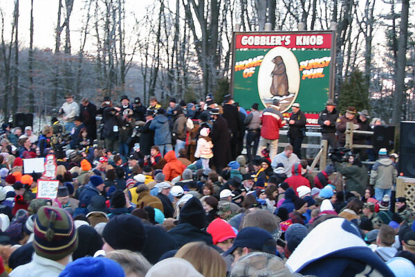
Groundhog Day 2002 at Gobbler’s Knob (staff photo)

Punxsutawney Phil, the world’s most famous weather-forecasting groundhog, saw his shadow Wednesday morning, thus predicting six more weeks of winter.

“As I look over the faces of the true believers from around the world, I bask in the warmth of your hearts, I couldn’t imagine a better fate, with my shadow I have cast than a long, lustrous six more weeks of winter,” Phil said in a statement, as read by a member of the Punxsutawney Groundhog Club’s Inner Circle.

Setting aside questions of Phil’s forecast accuracy raised by naysayers like the National Weather Service, how do you feel about the prospect of six more weeks of winter here in Arlington, after a relatively cold and snowy January?


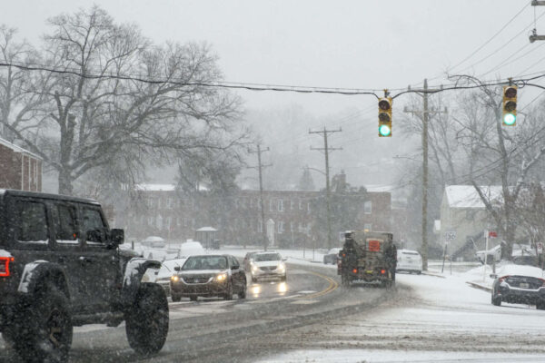
The snow falling in Arlington is providing a wintry ambiance — but little accumulation to speak of so far.

That may change tonight as temperatures fall and roads are expected to become more slippery. Many seem to be heeding calls to stay at home, however, with only light traffic reported on Arlington’s primary routes and highways as of 6 p.m.

Arlington County says its snow crews are out and about, treating main roads. Plowing is likely to be unnecessary, given that only an inch or so of accumulation is expected before the flakes taper off before midnight.

Despite what is turning out to be relatively light snowfall, some Saturday closures have been reported. Among them, morning activities at Arlington Public Schools are cancelled.

More from social media:


A snow plow driving down Columbia Pike (staff photo by Matt Blitz)

(Updated at 11:20 a.m.) Arlington is under a Winter Weather Advisory ahead of the arrival of snow today.

Forecasters say Arlington will get about 1-3 inches of accumulation, with snow starting this afternoon.

914 AM EST Fri Jan 28 2022

…WINTER WEATHER ADVISORY REMAINS IN EFFECT FROM 4 PM THIS AFTERNOON TO 4 AM EST SATURDAY…

* WHAT…Snow accumulations of 1 to 3 inches.

* WHERE…Portions of central, northwest and western Virginia.

* WHEN…From 4 PM this afternoon to 4 AM EST Saturday.

* IMPACTS…Plan on slippery road conditions. The hazardous conditions could impact the evening commute.

PRECAUTIONARY/PREPAREDNESS ACTIONS…

Slow down and use caution while traveling.

When venturing outside, watch your first few steps taken on steps, sidewalks, and driveways, which could be icy and slippery, increasing your risk of a fall and injury.

VDOT and Arlington County crews are preparing for the wintry weather.

“Northern Virginia VDOT crews in Arlington, Fairfax, Loudoun, and Prince William counties are pretreating roads on Friday,” VDOT said. “Please drive with caution around tanker trucks and safety trailing vehicles as they are heavy and move slowly.”

“Temperatures are expected to stay below freezing over the next several days, causing potential icy conditions,” the agency added. “Treat anything that looks wet as if it could be icy, especially bridges, ramps, overpasses, and elevated surfaces. If there is snow or ice on roadways, travel is hazardous.”

Arlington County is similarly asking residents to stay home during the storm if at all possible.

Arlington Public Schools, meanwhile, cancelled after-school and evening activities today due to the snow.


A snow plow driving down Columbia Pike (staff photo by Matt Blitz)

The National Weather Service issued a Winter Weather Advisory for Thursday morning, saying it expects between up to 2 inches of snow.

The advisory is set for between 6 a.m. and 1 p.m. NWS forecasts rain and snow before noon, followed by a chance of snow between noon and 3 p.m. as temperatures fall to around 30 by 5 p.m.

The snowfall could bring closures, as Fairfax County schools already announced a virtual learning day.

The Capital Weather Gang says the timing of the expected snow could lead to a bad morning commute.

“As a strong cold front pushes south, rain will change to snow, which could be heavy for a time between about 7 and 10 a.m.,” according to the Capital Weather Gang. “It will probably too warm for the snow to stick at first. But, as temperatures fall, slick spots could develop, especially in our colder areas north and west of the Beltway.”

See the full advisory below.

…WINTER WEATHER ADVISORY IN EFFECT FROM 6 AM TO 1 PM EST
THURSDAY…

* WHAT…Snow. Snow accumulations of up to two inches with locally
higher amounts around three inches possible.

* WHERE…The District of Columbia, portions of central, northern
and southern Maryland, and central and northern Virginia.

* WHEN…From 6 AM to 1 PM EST Thursday.

* IMPACTS…Plan on slippery road conditions. The hazardous
conditions will impact the morning commute.

* ADDITIONAL DETAILS…Precipitation will start as rain and then
switch over to snow during the Thursday morning commute.
Instructions: Slow down and use caution while traveling. When venturing outside, watch your first few steps taken on steps, sidewalks, and driveways, which could be icy and slippery, increasing your risk of a fall and injury.
Target Area:
Arlington, Falls Church, Alexandria
Fairfax
Prince William, Manassas, Manassas Park
Southern Fauquier
Spotsylvania
Stafford


View More Stories