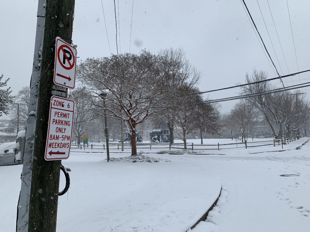
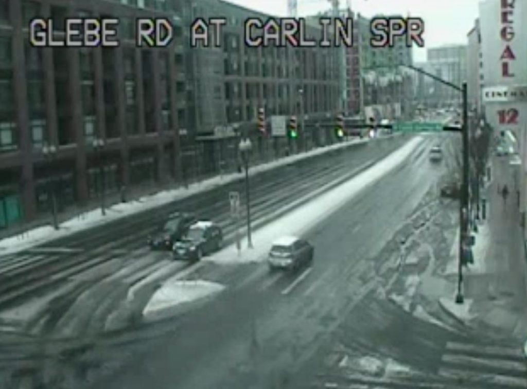
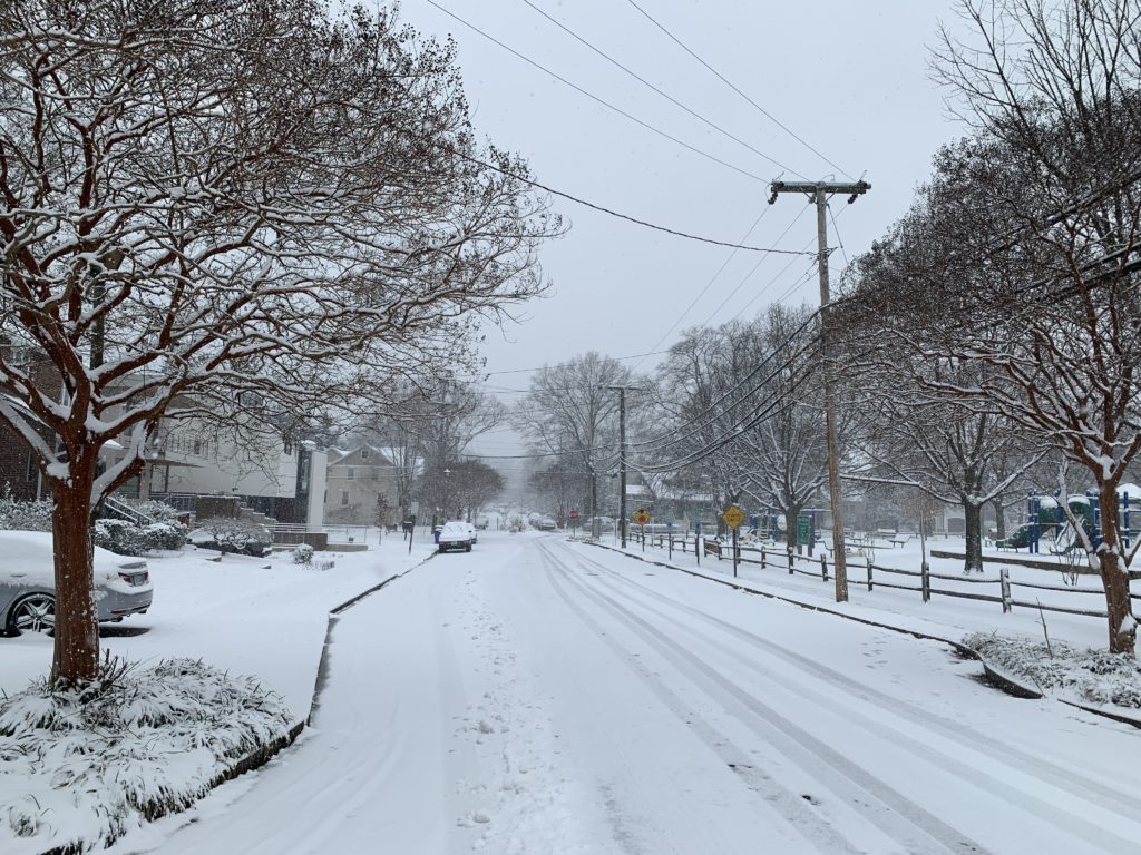
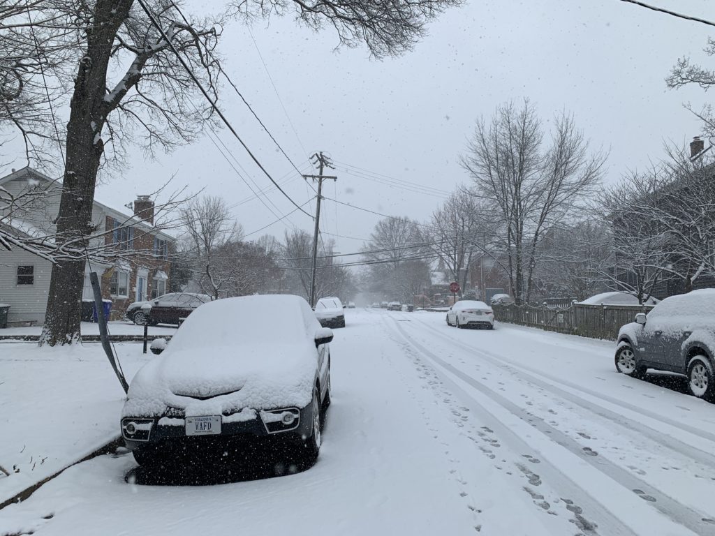
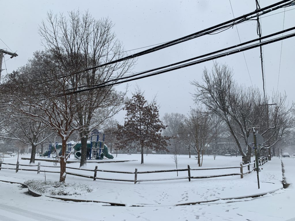
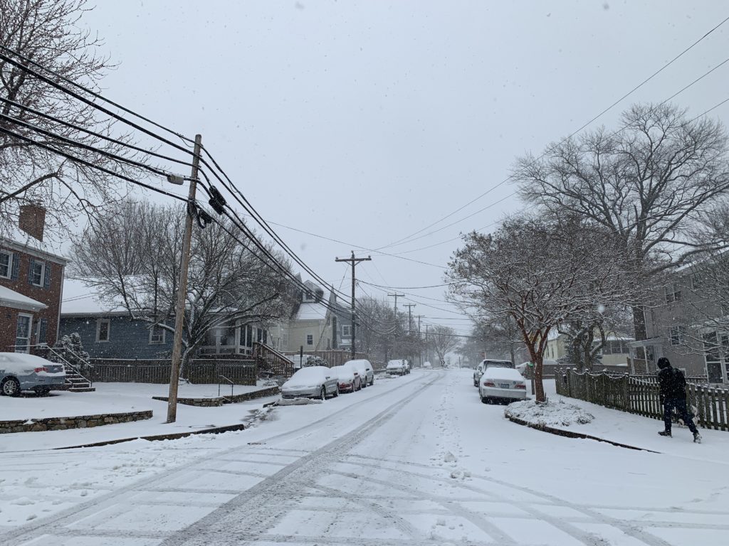
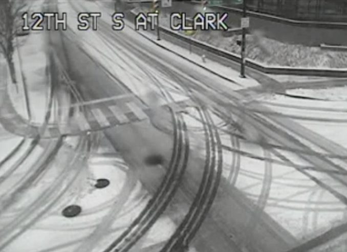
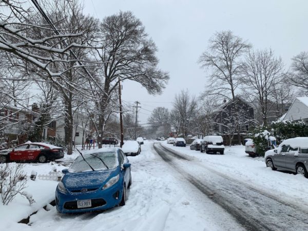
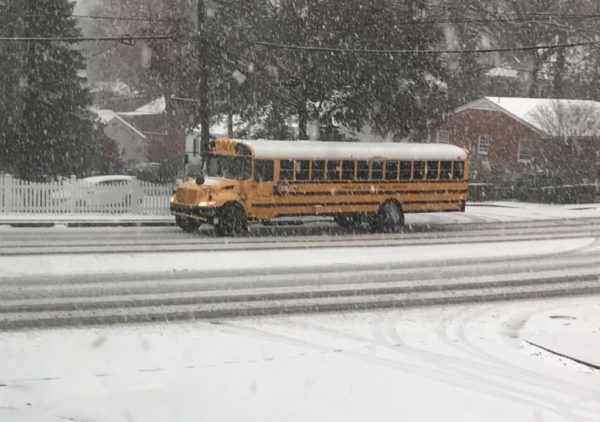
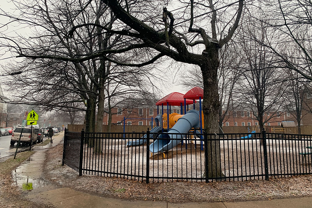
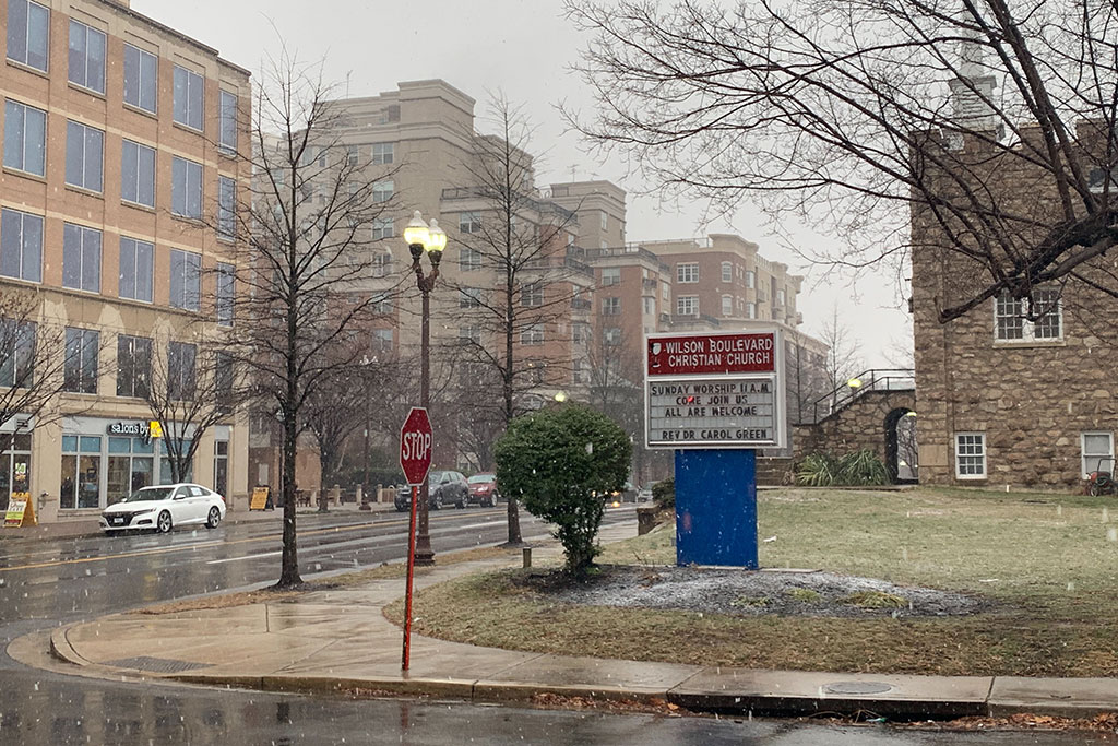
Update at 10:30 a.m. — Arlington Public Schools are closed today due to wintry weather. While grassy areas were snow-covered this morning, streets and sidewalks were mostly wet, with some slippery spots.

Earlier: Arlington and much of the region is under a Winter Weather Advisory tonight and Friday morning.

Snow and sleet is in the forecast overnight, though how much accumulates, and whether it disrupts the morning commute, remains uncertain. Still, Arlington Public Schools made the call to open on a two hour delay Friday.

From the National Weather Service:

…WINTER WEATHER ADVISORY REMAINS IN EFFECT FROM 10 PM THIS EVENING TO 10 AM EST FRIDAY… * WHAT…SNOW AND SLEET EXPECTED. TOTAL SNOW AND SLEET ACCUMULATIONS OF 1 TO 3 INCHES EXPECTED. * WHERE…THE DISTRICT OF COLUMBIA, PORTIONS OF CENTRAL AND SOUTHERN MARYLAND AND NORTHERN AND NORTHWEST VIRGINIA. * WHEN…FROM 10 PM THIS EVENING TO 10 AM EST FRIDAY. A BRIEF PERIOD OF MODERATE TO HEAVY SNOW MAY OCCUR BETWEEN 2 AM AND 6 AM. * ADDITIONAL DETAILS…PLAN ON SLIPPERY ROAD CONDITIONS. THE HAZARDOUS CONDITIONS COULD IMPACT THE MORNING COMMUTE. PRECAUTIONARY/PREPAREDNESS ACTIONS… A WINTER WEATHER ADVISORY MEANS THAT PERIODS OF SNOW, SLEET OR FREEZING RAIN WILL CAUSE TRAVEL DIFFICULTIES. EXPECT SLIPPERY ROADS AND LIMITED VISIBILITIES, AND USE CAUTION WHILE DRIVING. WHEN VENTURING OUTSIDE, WATCH YOUR FIRST FEW STEPS TAKEN ON STEPS, SIDEWALKS, AND DRIVEWAYS, WHICH COULD BE ICY AND SLIPPERY, INCREASING YOUR RISK OF A FALL AND INJURY. &&

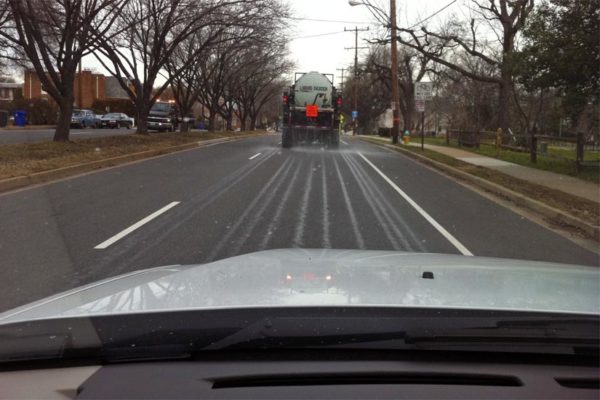
Both VDOT and Arlington County have been pre-treating roads ahead of the storm, but VDOT cautions that roads may be slick Friday.

“VDOT asks that drivers be alert for up to several inches of snow and sleet that will impact roads tonight through Friday morning,” the agency said. “Drivers are asked to prepare now for impacts to the morning rush hour. Crews will begin staging along roads tonight.”

More via social media:


Arlington County and surrounding areas are under a Wind Advisory Sunday afternoon and evening.

The advisory was issued Saturday, ahead of what is expected to be a very breezy and potentially hazardous end to the weekend.

More from the National Weather Service:

…WIND ADVISORY IN EFFECT FROM 3 PM TO 10 PM EST SUNDAY… THE NATIONAL WEATHER SERVICE IN BALTIMORE MD/WASHINGTON HAS ISSUED A WIND ADVISORY, WHICH IS IN EFFECT FROM 3 PM TO 10 PM EST SUNDAY. * TIMING…SUNDAY AFTERNOON INTO SUNDAY EVENING. * WINDS…SOUTHWEST SUNDAY AFTERNOON, BECOMING WEST TO NORTHWEST SUNDAY EVENING 20 TO 35 MPH WITH GUSTS AROUND 50 TO 55 MPH. * IMPACTS…SCATTERED TREE AND POWER LINE DAMAGE. DIFFICULTY DRIVING HIGH PROFILE VEHICLES. PRECAUTIONARY/PREPAREDNESS ACTIONS… A WIND ADVISORY MEANS THAT WINDS OF 45 TO 55 MPH ARE EXPECTED. WINDS THIS STRONG CAN MAKE DRIVING DIFFICULT, ESPECIALLY FOR HIGH PROFILE VEHICLES. &&


(Updated at 4:10 p.m.) Arlington Public Schools will open two hours late tomorrow, as today’s snow gives way to a wintry mix.

Tonight’s cold temperatures also have county officials warning drivers to stay off the roads for the foreseeable future.

Most Arlington neighborhoods saw around 3 to 4 inches of snow accumulation in all, according to the National Weather Service. Also reported: a small amount of freezing rain.

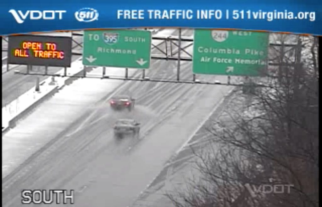
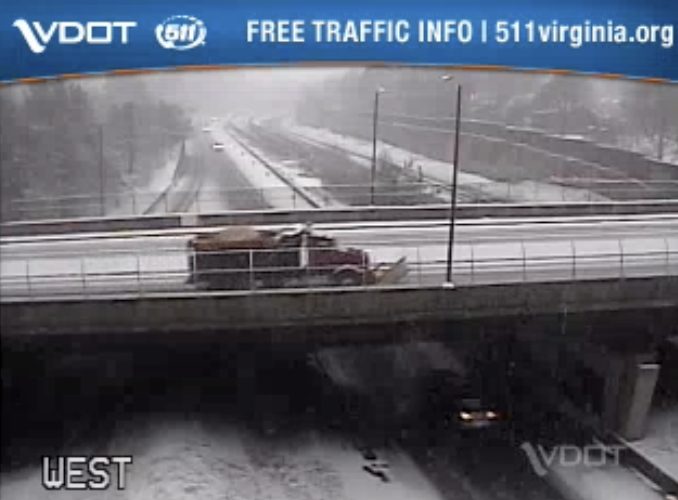
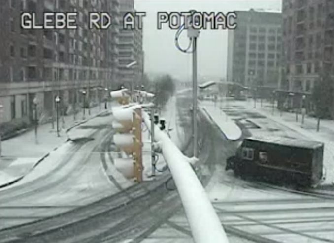
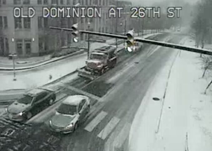
As rain and sleet continue to fall around the region, residents are still being urged to stay inside if at all possible. A quick scan of the area’s traffic cameras shows most major roads look pretty clear, though secondary streets still look a bit slushy.

The NWS also has the area under a Winter Weather Advisory through 10 p.m. Details:

…WINTER WEATHER ADVISORY IN EFFECT UNTIL 10 PM EST THIS
EVENING…
…WINTER STORM WARNING IS CANCELLED…

* WHAT…MIXED PRECIPITATION. ADDITIONAL SNOW AND SLEET ACCUMULATIONS OF LESS THAN ONE INCH THROUGH MID AFTERNOON, THEN ICE ACCUMULATIONS OF UP TO ONE TENTH OF AN INCH THROUGH 10 PM. ALL FREEZING RAIN IS EXPECTED TO TRANSITION TO RAIN BY 10 PM.

* WHERE…PORTIONS OF CENTRAL AND NORTHERN VIRGINIA.

* WHEN…UNTIL 10 PM EST THIS EVENING.

* ADDITIONAL DETAILS…PLAN ON SLIPPERY ROAD CONDITIONS. THE HAZARDOUS CONDITIONS WILL IMPACT THE EVENING COMMUTE.

PRECAUTIONARY/PREPAREDNESS ACTIONS…

A WINTER WEATHER ADVISORY MEANS THAT PERIODS OF SNOW, SLEET OR FREEZING RAIN WILL CAUSE TRAVEL DIFFICULTIES. EXPECT SLIPPERY ROADS AND LIMITED VISIBILITIES, AND USE CAUTION WHILE DRIVING.

WHEN VENTURING OUTSIDE, WATCH YOUR FIRST FEW STEPS TAKEN ON STEPS, SIDEWALKS, AND DRIVEWAYS, WHICH COULD BE ICY AND SLIPPERY, INCREASING YOUR RISK OF A FALL AND INJURY.

Scattered crashes were reported around the county today, including a vehicle that slid off the northbound GW Parkway and over an embankment. One minor injury was reported.

The weather has prompted some scattered event cancellations tonight. Temperatures around town are expected to remain above freezing overnight.

Most restaurants and bars around the area are staying open, despite the winter weather.

Though the snow will start to melt as temperatures rise above freezing, residents may need to shovel their sidewalk later tonight or early tomorrow morning. The county’s snow ordinance requires that all private walkways be cleared by 1 p.m. tomorrow.


Update at 12:30 p.m. — The National Weather Service reports 3.3 inches of snow accumulation in Ballston as of about 12:20 p.m.

Earlier: It’s a winter wonderland out there, but most roads remain passable.

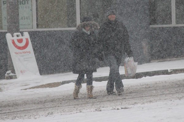
Traffic is light around Arlington, with schools, the federal government and all county facilities like community centers closed. But with 2 inches of snow on the ground as of 8:30 a.m., no major crashes or problems have been reported on the county’s mostly snow-covered roads.

Residential trash and recycling collection has been cancelled for the day and will resume Thursday, delayed by a day for the rest of the week.

Metro is operating under its severe snow service plan for buses, and as is Arlington Transit. Metro trains are running every 12 minutes.

VDOT is still urging drivers to stay inside today, with snow changing to sleet, freezing rain and then just rain this afternoon.

“Drivers are asked to avoid travel for safety today as a winter storm moves through the region with a range of precipitation,” VDOT said. “Pockets of heavier snow may limit visibility and stick to the pavement, and a mix of freezing rain may quickly make roads slick.”


(Updated at 5:20 p.m.) Arlington Public Schools will be closed Wednesday due to expected snow and ice.

The school system made the call at 5 p.m. Tuesday, shortly after a similar announcement from Fairfax County Public Schools.

Arlington’s Marymount University will also be closed.

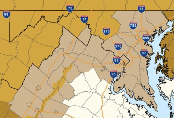
Arlington and the region is under a Winter Storm Warning for Wednesday, with 3-6 inches of snow expected. From the National Weather Service:

…WINTER STORM WARNING REMAINS IN EFFECT FROM 1 AM TO 7 PM EST WEDNESDAY… * WHAT…HEAVY MIXED PRECIPITATION EXPECTED. TOTAL SNOW ACCUMULATIONS OF 3 TO 6 INCHES AND ICE ACCUMULATIONS OF UP TO ONE TENTH OF AN INCH EXPECTED. * WHERE…THE DISTRICT OF COLUMBIA AND PORTIONS OF CENTRAL MARYLAND AND CENTRAL AND NORTHERN VIRGINIA. * WHEN…FROM 1 AM TO 7 PM EST WEDNESDAY. SNOW WILL OVERSPREAD THE AREA EARLY WEDNESDAY MORNING AND MIX WITH AND CHANGE TO SLEET AND FREEZING RAIN DURING THE LATE MORNING AND EARLY AFTERNOON HOURS WEDNESDAY. PRECIPITATION WILL CHANGE TO PLAIN RAIN WEDNESDAY EVENING. THE HEAVIEST SNOW IS LIKELY WEDNESDAY MORNING. * ADDITIONAL DETAILS…TRAVEL COULD BE VERY DIFFICULT. THE HAZARDOUS CONDITIONS COULD IMPACT THE MORNING OR EVENING COMMUTE. PRECAUTIONARY/PREPAREDNESS ACTIONS… A WINTER STORM WARNING MEANS SIGNIFICANT AMOUNTS OF SNOW, SLEET AND ICE WILL MAKE TRAVEL VERY HAZARDOUS OR IMPOSSIBLE. WHEN VENTURING OUTSIDE, WATCH YOUR FIRST FEW STEPS TAKEN ON STEPS, SIDEWALKS, AND DRIVEWAYS, WHICH COULD BE ICY AND SLIPPERY, INCREASING YOUR RISK OF A FALL AND INJURY. &&

Arlington’s Dept. of Environmental Services says it has been pretreating roads and expects to have its “full response team” on the road shortly after midnight, before the first of the flakes starts falling.

The wintry weather is expected to prompt delays and cancellations at local airports, including Reagan National Airport, which is advising flyers to “check with their airline to confirm the status of their flight prior to coming to the airport.”

VDOT’s Northern Virginia office, meanwhile, is encouraging drivers to stay off the roads if at all possible.

VDOT asks that drivers plan travel around a winter storm bringing accumulating snow and a mix of frozen precipitation to the region throughout the day Wednesday. Avoid travel during the storm for safety, as well as after until road conditions improve.

Crews pretreated interstates and major routes throughout northern Virginia yesterday and today.

Tonight, trucks will stage along roadways, ready to plow and treat roads as needed when the storm begins.

VDOT Asks Drivers and Residents To:

  • Plan now to avoid driving through the day Wednesday and after the storm until conditions have improved. Give crews time to plow and treat roads.
  • Park in driveways or on the same side of the street to allow plows room to pass.
  • Continue to closely monitor weather, as forecasts can improve or worsen quickly.
  • If you absolutely must drive, know the conditions, drive for the conditions and give plows plenty of room. Ensure enough gas, wiper fluid, proper tires, medication, and an emergency car kit. Check road conditions along your route at www.511virginia.org, on the free mobile app, or call 511 from any phone in Virginia.

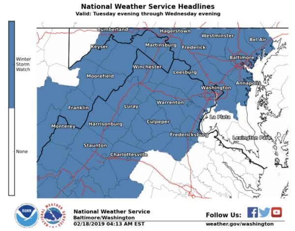
The National Weather Service has issued a Winter Storm Watch for Arlington and surrounding areas.

Five or more inches of snow could fall, in addition to a potential quarter inch of ice, between Tuesday and Wednesday nights, forecaster say. The storm will likely disrupt travel and cause school and work delays and cancellations.

More from NWS:

…WINTER STORM WATCH IN EFFECT FROM TUESDAY EVENING THROUGH WEDNESDAY EVENING… * WHAT…HEAVY SNOW, MIXING WITH AND EVENTUALLY CHANGING TO SLEET AND THEN FREEZING RAIN. SNOW ACCUMULATIONS OF 5 OR MORE INCHES AND ICE ACCUMULATIONS OF A QUARTER-INCH OR GREATER ARE POSSIBLE. * WHERE…THE DISTRICT OF COLUMBIA, MARYLAND EAST OF THE APPALACHIANS AND WEST OF THE CHESAPEAKE BAY, CENTRAL AND NORTHERN VIRGINIA, AND THE EASTERN WEST VIRGINIA PANHANDLE. * WHEN…FROM TUESDAY EVENING THROUGH WEDNESDAY EVENING. * ADDITIONAL DETAILS…TRAVEL COULD BE VERY DIFFICULT. THE HAZARDOUS CONDITIONS COULD IMPACT THE MORNING OR EVENING COMMUTE. PRECAUTIONARY/PREPAREDNESS ACTIONS… A WINTER STORM WATCH MEANS THERE IS POTENTIAL FOR SIGNIFICANT SNOW, SLEET OR ICE ACCUMULATIONS THAT MAY IMPACT TRAVEL. CONTINUE TO MONITOR THE LATEST FORECASTS. &&

Local officials are urging residents to start preparing for the storm now.

Map via National Weather Service


Update at 10 p.m. — Snow is falling across Arlington. The federal government is opening on a two hour delay, OPM announced. Arlington County government is currently planning to open on time.

Update at 6:50 p.m. — Arlington Public Schools is planning to open on a two hour delay Monday due to “possible icing conditions.”

Earlier: A Winter Weather Advisory is in effect Sunday night and Monday morning, with a combination of snow, sleet and rain expected to fall overnight in Arlington.

The Virginia Dept. of Transportation cautions that Monday morning’s commute may be challenging.

“VDOT asks that drivers be alert to a potential mix of snow, sleet, and freezing rain to impact roads,” the agency said Sunday afternoon. “Crews have brined roads which will assist at the onset of the storm, but drivers are asked to prepare now for impacts to the morning rush hour. Crews will stage along roads beginning this afternoon.”

https://twitter.com/VaDOTNOVA/status/1094650671415156736

More on the advisory, from the National Weather Service:

…WINTER WEATHER ADVISORY REMAINS IN EFFECT FROM 7 PM THIS EVENING TO 10 AM EST MONDAY… * WHAT…SNOW, SLEET AND FREEZING RAIN EXPECTED. TOTAL SNOW ACCUMULATIONS OF UP TO ONE INCH AND ICE ACCUMULATIONS OF LESS THAN A TENTH OF AN INCH EXPECTED. * WHERE…THE DISTRICT OF COLUMBIA ALONG WITH PORTIONS OF CENTRAL MARYLAND, CENTRAL, NORTHERN AND WESTERN VIRGINIA AND EASTERN WEST VIRGINIA. * WHEN…FROM 7 PM THIS EVENING TO 10 AM EST MONDAY. * ADDITIONAL DETAILS…PLAN ON SLIPPERY ROAD CONDITIONS. THE HAZARDOUS CONDITIONS WILL IMPACT THE MONDAY MORNING COMMUTE. PRECAUTIONARY/PREPAREDNESS ACTIONS… A WINTER WEATHER ADVISORY MEANS THAT PERIODS OF SNOW, SLEET OR FREEZING RAIN WILL CAUSE TRAVEL DIFFICULTIES. EXPECT SLIPPERY ROADS AND LIMITED VISIBILITIES, AND USE CAUTION WHILE DRIVING. WHEN VENTURING OUTSIDE, WATCH YOUR FIRST FEW STEPS TAKEN ON STEPS, SIDEWALKS, AND DRIVEWAYS, WHICH COULD BE ICY AND SLIPPERY, INCREASING YOUR RISK OF A FALL. THE LATEST ROAD CONDITIONS FOR THE STATE YOU ARE CALLING FROM CAN BE OBTAINED BY CALLING 5 1 1. &&

File photo


A small burst of snow could result in big problems during Friday morning’s commute.

The National Weather Service has issued a Winter Weather Advisory for Friday morning. Less than an inch of snow is likely, but very cold temperatures mean that whatever falls is likely to stick on local roads.

More from NWS:

…WINTER WEATHER ADVISORY IN EFFECT FROM 6 AM TO 3 PM EST FRIDAY… * WHAT…SNOW IS LIKELY. SNOW ACCUMULATION LESS THAN ONE INCH. THE BEST CHANCE FOR SNOW WILL BE BETWEEN 7 AM AND NOON FRIDAY. * WHERE…THE WASHINGTON METROPOLITAN AREA. * WHEN…FROM 6 AM TO 3 PM EST FRIDAY. * ADDITIONAL DETAILS…WITH SURFACE TEMPERATURES WELL BELOW FREEZING FRIDAY MORNING, EVEN MINOR ACCUMULATIONS OF SNOW COULD CAUSE UNTREATED ROADS TO BECOME ICY. PRECAUTIONARY/PREPAREDNESS ACTIONS… DRIVERS SHOULD PREPARE FOR ICY TRAVEL FRIDAY MORNING, AND PLAN FOR EXTRA TIME TO TRAVEL. WHILE IT IS NOT CERTAIN THAT SNOW ACCUMULATION AND ICY TRAVEL WILL DEVELOP AT THIS TIME, THE POTENTIAL THREAT IS THERE. PLAN AHEAD. THE LATEST ROAD CONDITIONS FOR THE STATE YOU ARE CALLING FROM CAN BE OBTAINED BY CALLING 5 1 1. &&

Arlington County says its crews will be pretreating roads overnight, ahead of the snow.


(Updated at 8:15 a.m.) Arlington public schools are opening on a two-hour delay Wednesday, due to expected icy conditions.

APS announced the delay Tuesday night “based on the current weather forecast and conditions,” leaving open the possibility that worse-than-expected road conditions Wednesday could prompt a cancellation. Fairfax County Public Schools announced earlier that its schools would be closed tomorrow.

Wednesday morning, APS affirmed the two-hour delay decision.

The federal government, meanwhile, will open on a three-hour delay.

Authorities are asking anyone driving overnight and in the morning to take extra precautions due to the likelihood of dropping temperatures turning wet roads into icy hazards. Around Arlington Wednesday, there were some reports of black ice, particularly on local roads.

“VDOT asks that drivers be aware of weather and road conditions prior to making decisions to travel tonight and Wednesday morning,” said VDOT’s Northern Virginia office, in a press release. “Plan for the potential need to delay commutes Wednesday morning, as low temperatures overnight will freeze precipitation and create potential hazardous conditions.”

At least one significant crash was reported Tuesday night — a multi-vehicle wreck on I-395 near the Pentagon — but it’s unclear if weather was a factor.

As if the deep freeze wasn’t bad enough, the National Weather Service issued a Wind Advisory Tuesday night.

…WIND ADVISORY IN EFFECT FROM 9 AM TO 6 PM EST WEDNESDAY…

The National Weather Service in Baltimore MD/Washington has issued a Wind Advisory, which is in effect from 9 AM to 6 PM EST Wednesday.

* TIMING…Mid-morning through late afternoon Wednesday.

* WINDS…West 20 to 30 mph with gusts up to 50 mph.

* IMPACTS…Strong winds may blow down limbs, trees, and power lines. Scattered power outages are expected.

PRECAUTIONARY/PREPAREDNESS ACTIONS…

A Wind Advisory means that winds of 45 to 55 mph are expected. Winds this strong can make driving difficult, especially for high profile vehicles.


After a day of nervous anticipation that saw most schools and government facilities close early today, the snow is now here — and so is the traffic.

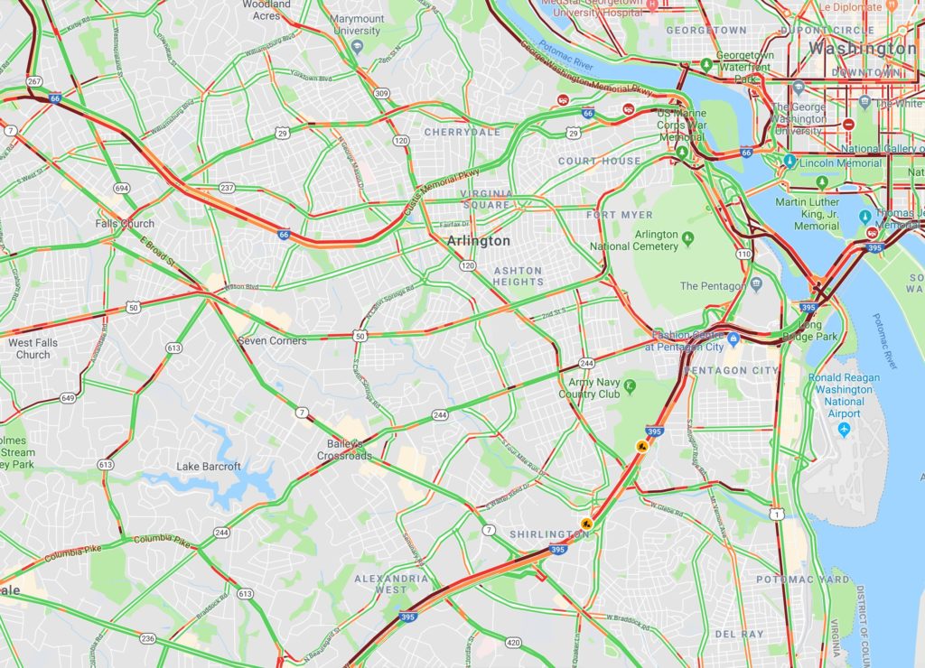
Very heavy traffic has been reported on I-395, Washington Blvd and parts of the GW Parkway, as long as in the Rosslyn area, as commuters try to get home early before the streets turn slippery.

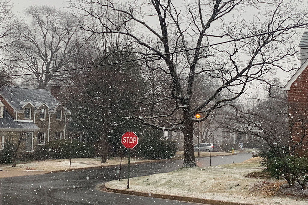
As of 4 p.m., large flakes were falling outside of ARLnow’s office in Ballston, while grassy areas in the neighborhood were starting to turn white. Roadways, however, are mostly wet — but falling temperatures threaten to turn wet roads icy tonight.

Arlington County crews have started treating roads with salt and expect to continue a “full storm” response through at least Wednesday night.

“Prepare for a slow Wednesday morning” commute, said Arlington’s Dept. of Environmental Services.

Map (top) via Google Maps


Rain will turn to snow Tuesday afternoon, just in time to potentially cause problems for the drive home.

The National Weather Service has issued a Winter Weather Advisory ahead of the wintry precipitation, warning of “hazardous conditions” during the evening commute. The snow will be followed by plummeting temperatures that will turn wet spots into icy patches for the Wednesday morning commute.

More from the National Weather Service:

…WINTER WEATHER ADVISORY IN EFFECT FROM 3 PM TUESDAY TO MIDNIGHT EST TUESDAY NIGHT… * WHAT…ANY RAIN WILL CHANGE TO SNOW DURING THE LATE AFTERNOON AND EARLY EVENING HOURS. TOTAL SNOW ACCUMULATIONS OF 1 TO 2 INCHES EXPECTED. * WHERE…THE DISTRICT OF COLUMBIA, AND PORTIONS OF CENTRAL AND SOUTHERN MARYLAND AND CENTRAL AND NORTHERN VIRGINIA. * WHEN…FROM 3 PM TUESDAY TO MIDNIGHT EST TUESDAY NIGHT. * ADDITIONAL DETAILS…PLAN ON SLIPPERY ROAD CONDITIONS. THE HAZARDOUS CONDITIONS WILL IMPACT THE EVENING COMMUTE. TEMPERATURES WILL FALL BELOW FREEZING DURING THE EVENING, CAUSING ANY MOISTURE OR SLUSH TO FREEZE ON UNTREATED SURFACES. PRECAUTIONARY/PREPAREDNESS ACTIONS… A WINTER WEATHER ADVISORY FOR SNOW MEANS PERIODS OF SNOW WILL CAUSE PRIMARILY TRAVEL DIFFICULTIES. EXPECT SNOW COVERED ROADS AND LIMITED VISIBILITIES, AND USE CAUTION WHILE DRIVING. THE LATEST ROAD CONDITIONS FOR THE STATE YOU ARE CALLING FROM CAN BE OBTAINED BY CALLING 5 1 1. &&

More from VDOT and Arlington’s Dept. of Environmental Services:


View More Stories