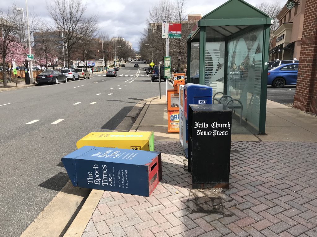
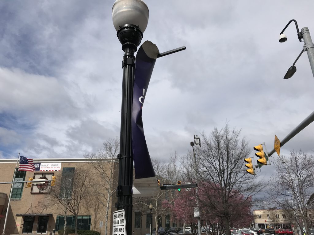
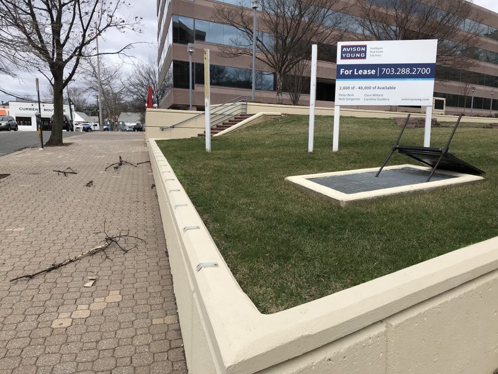
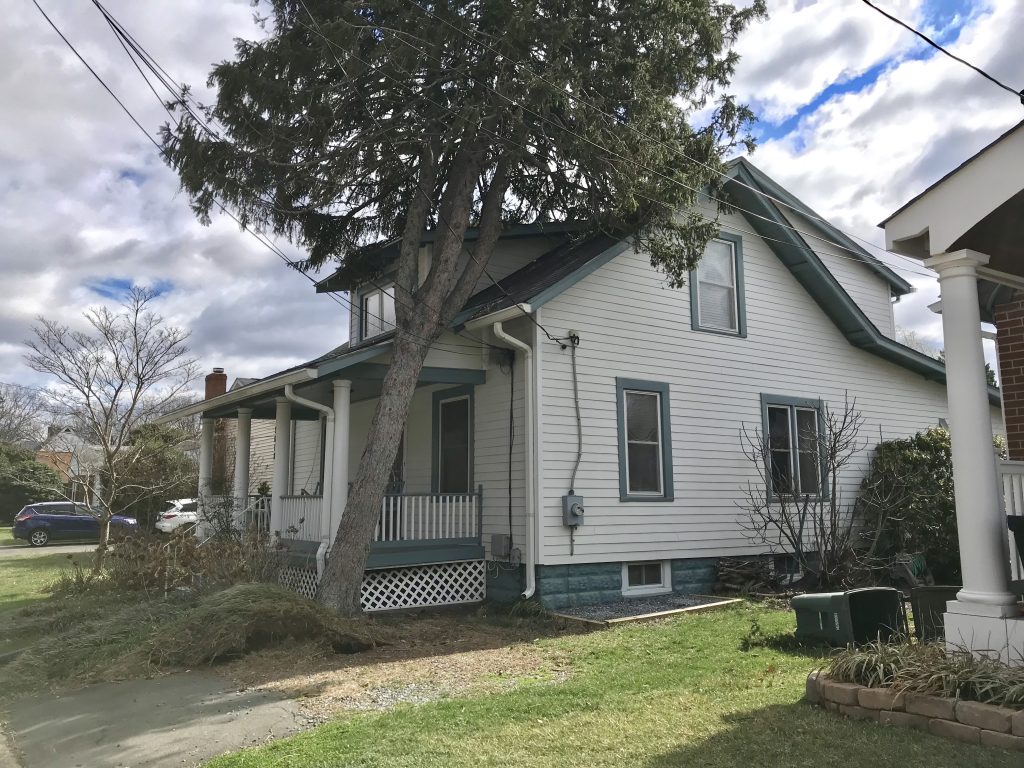
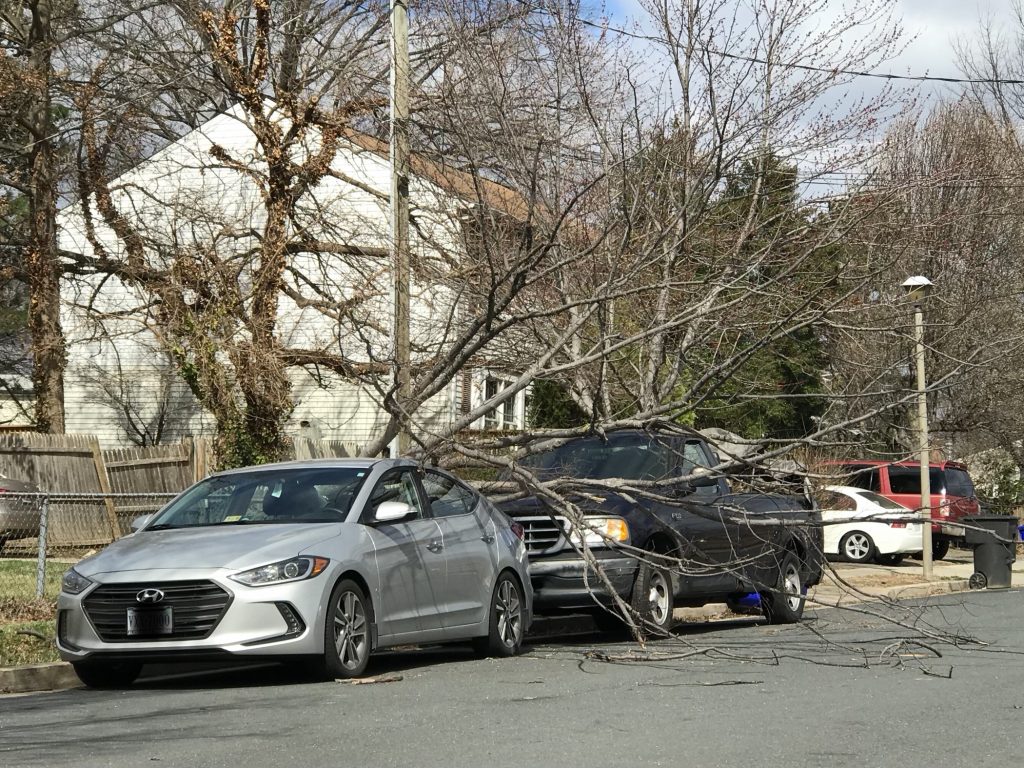
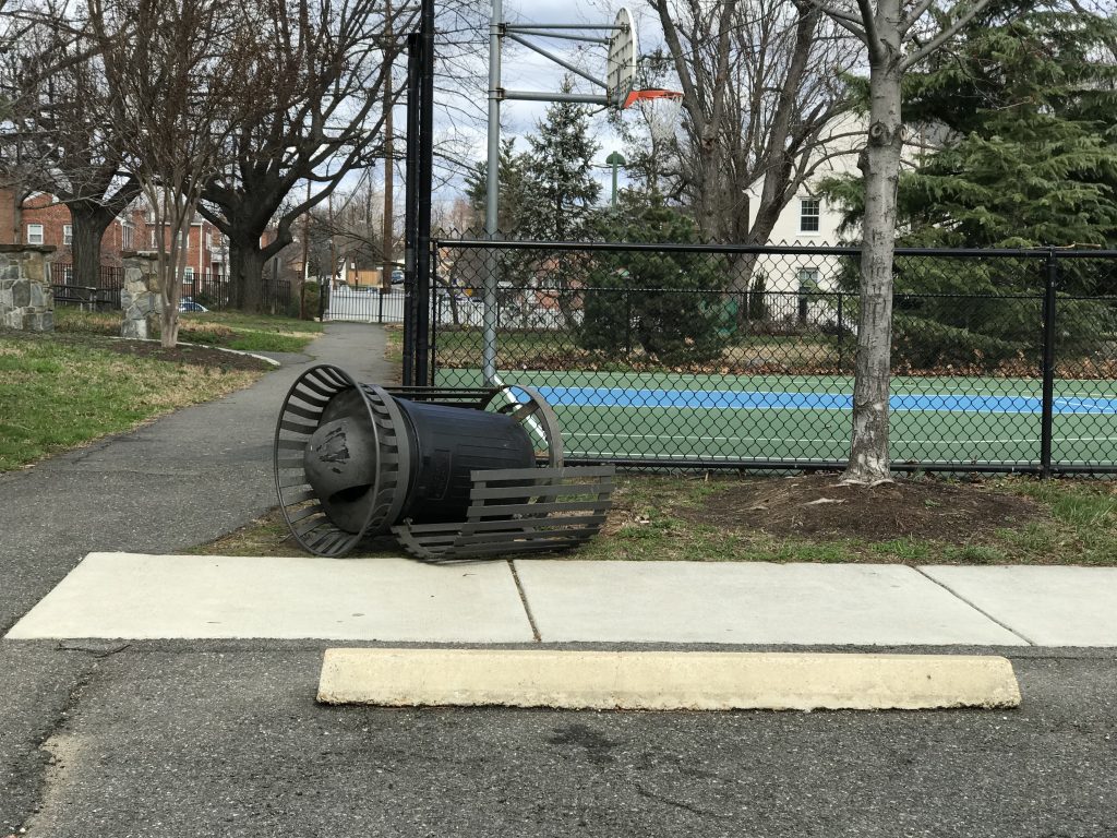
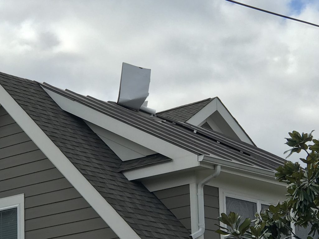
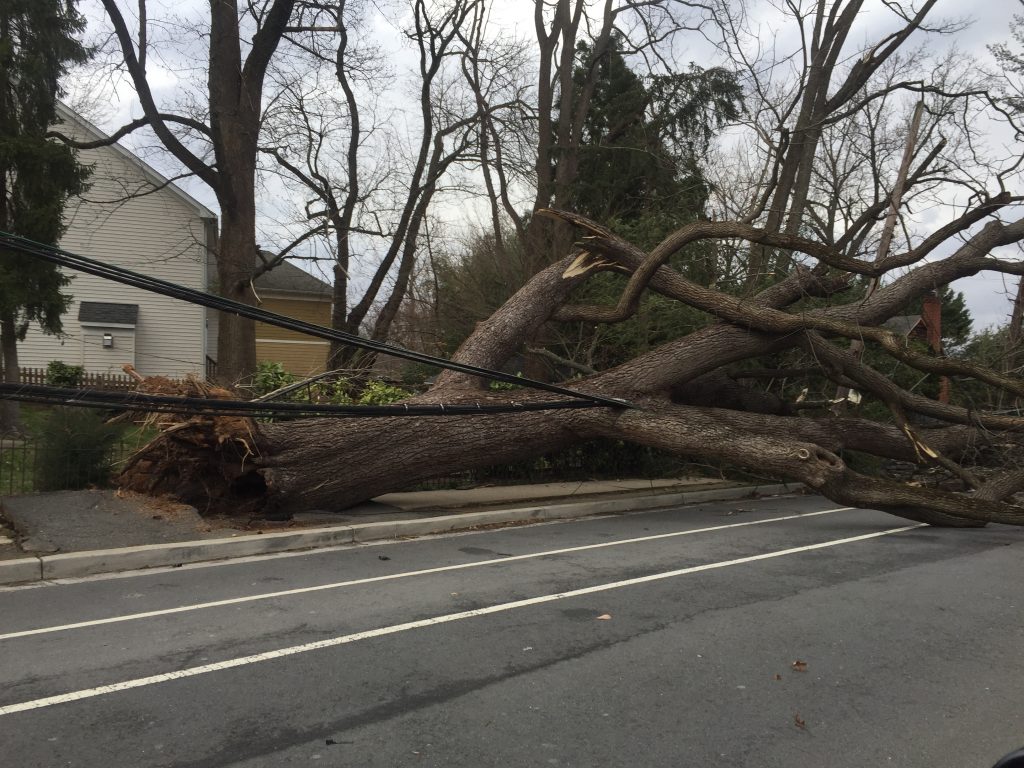
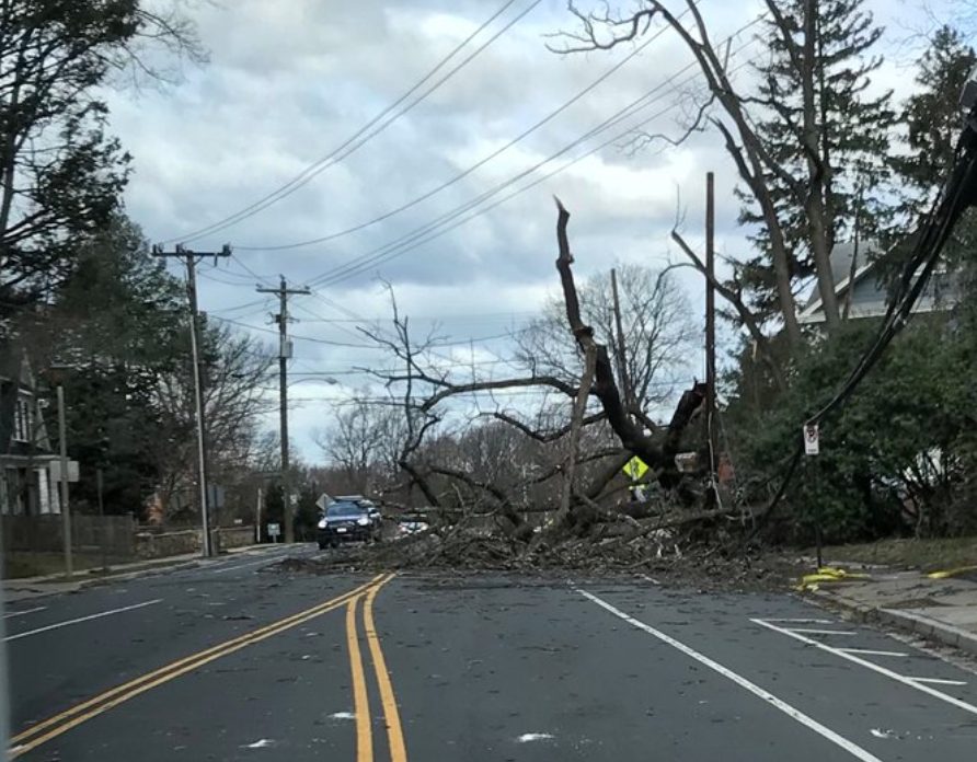
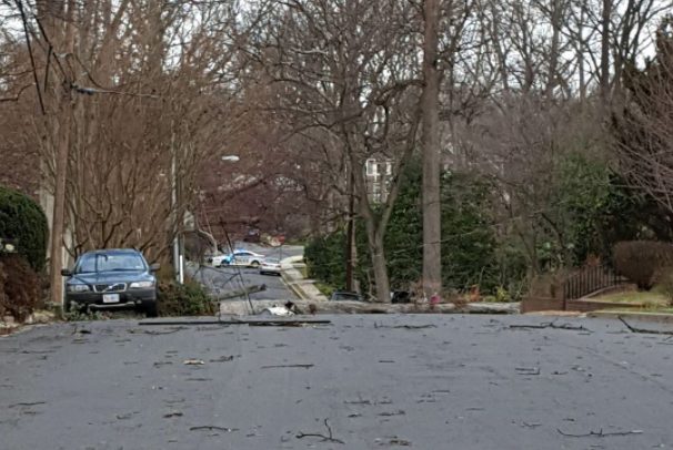
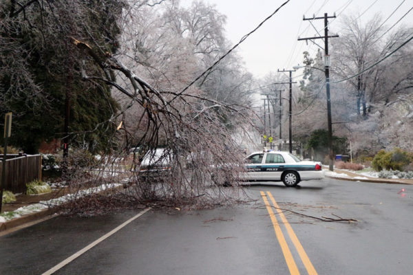
(Updated at 7:35 p.m.) Friday’s wind storm has taken a toll on Arlington, sending trees toppling onto cars, houses and across roads, and knocking out power to tens of thousands.

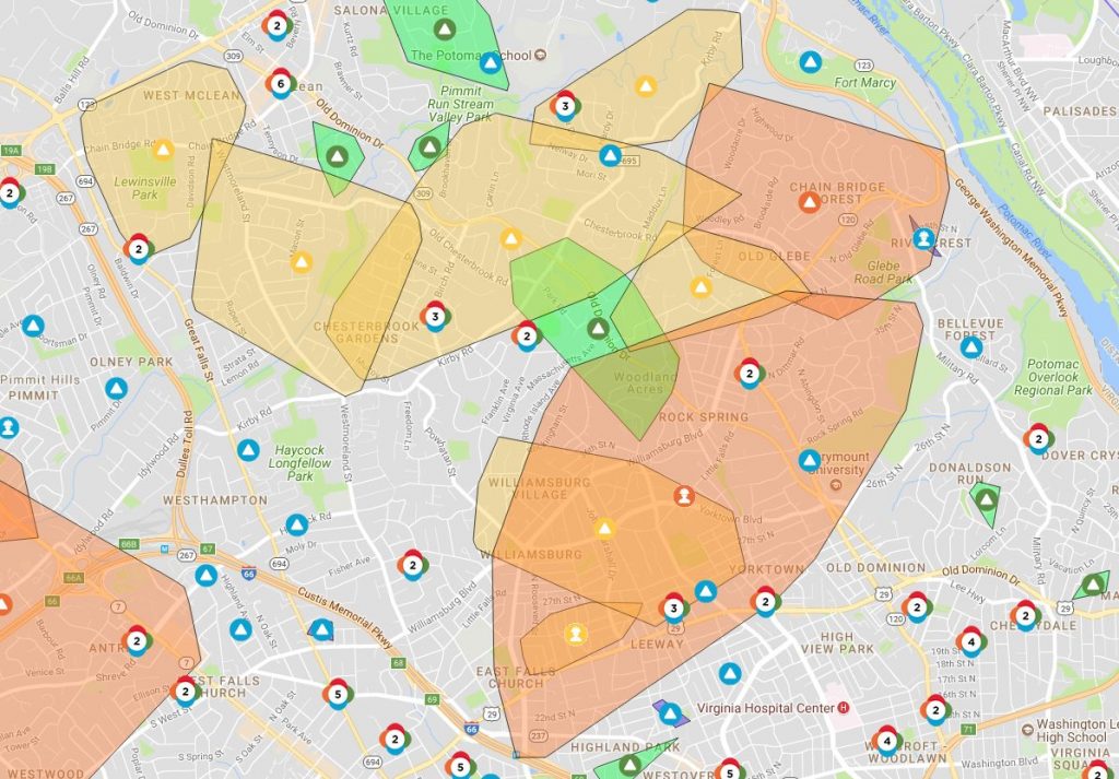
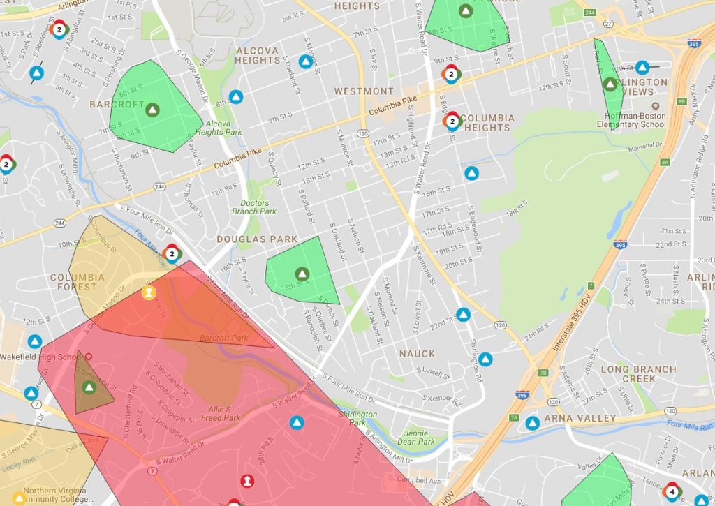
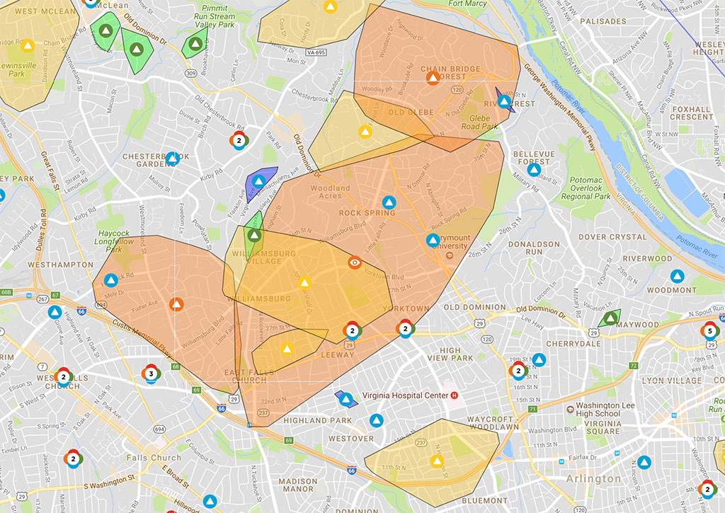
As of 7:30 p.m., Dominion reported 14,663 customers without power in Arlington. An hour earlier, it appeared that the numbers were finally dropping, but thanks to continued strong winds it has, in fact, gone up.

A Dominion outage map showed that a large swath of residential North Arlington and a significant portion of the Fairlington neighborhood was without power as the sun started to set.

Across the D.C. region, nearly 600,000 were in the dark as of early evening.

Arlington County Police say they’ve responded to more than 250 calls for service since this morning, including 66 calls for trees down.

To help with the cleanup, which is expected to take at least a few days, Virginia Gov. Ralph Northam has declared a state of emergency.

“The order is designed to help Virginia mitigate any damage caused by high winds and to streamline the process that the Commonwealth uses to provide assistance to communities impacted,” the governor’s office said in a statement.

A High Wind Warning remains in effect until 6 a.m. Gusty winds are expected to continue overnight as the nor’easter makes its way north and pummels New England.

The National Weather Service says it clocked a wind gust of 71 miles per hour at Dulles International Airport earlier today. NWS is urging those in the D.C. area to remain vigilant as the winds continue to gust.

Widespread power outages are occurring. Travel is dangerous, especially for high profile vehicles, and motorists need to be aware of rapidly changing road conditions due to the potential of downed trees and power lines. Pedestrians will face very hazardous conditions, and need to be aware of wind-borne projectiles. People should avoid being outside in forested areas and around trees and branches. If possible, remain in the lower levels of your homes during the windstorm, and avoid windows. If you use a portable generator, follow manufacturer’s instructions and do not use inside homes, garages, or apartments.

More local weather impacts via social media, after the jump.

(more…)


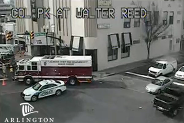
The westbound lanes of Columbia Pike are temporarily closed due to damage to the outside of the Arlington Cinema Drafthouse (2903 Columbia Pike).

On traffic cameras, the front panel of the Drafthouse’s marquee sign, which announces upcoming acts, could be seen dangling precariously in the wind. Firefighters are currently working to secure it and reopen the roadway ahead of rush hour.

While traffic is being diverted, there is another road hazard nearby. According to scanner reports, a large tree has fallen across 8th Street S. near the intersection with S. Walter Reed Drive.

More views of the dangling Drafthouse sign:

Update at 3:20 p.m. — All lanes of Columbia Pike have reopened. A photo of the tree down on 8th Street S. is below.

https://twitter.com/smugclimber/status/969668095349547009


(Updated at 1:10 p.m.) Today’s wind storm has caused tree carnage throughout Arlington County.

As of 12:30 p.m. firefighters responded to seven calls for trees that had fallen on houses, according to the Arlington County Fire Department, but no injuries were reported. The department has responded to another 31 calls for wires down over the past 12 hours or so.

Among the places where there were reports of trees falling on houses:

  • 18th Street S. near Army Navy Country Club
  • 2500 block of Military Road
  • Near the intersection of N. Roosevelt Street and 15th Road N.

Numerous trees and large branches are reported to have fallen and blocked or partially blocked roads. Arlington County Police have responded to more than 40 tree-related calls since midnight, officials say.

Among the roads blocked are 26th Street N. near Lee Highway and Washington Blvd west of Westover, among with:

https://twitter.com/ArlingtonVaFD/status/969612966378328064

As of noon, Dominion was reporting 11,438 customers without power in Arlington, including widespread outages in North Arlington neighborhoods.

Dominion says a total of 335,000 customers have lost power since Thursday night. The company stopped providing police and the fire department with estimated times of arrival for crews responding to downed lines earlier this morning.


(Update at 10:50 a.m.) More than 10,000 Dominion customers are currently without power in Arlington, according to the company’s website.

Numerous reports of downed trees, branches and power lines around the county have been rolling in over the past few hours as today’s “high impact” wind storm continues to roar across the D.C. region.

As of as of 10:45 a.m., Dominion was reporting 11,409 customers without electricity in Arlington. Parts of the county affected include large portions of residential North Arlington neighborhoods, as seen on the map about.

Among a growing list of road closures around the county due to downed trees, police are blocking the 6000 block of Washington Blvd, just west of Westover, for a large tree across the road. Another significant road closure is N. Harrison Street between 26th Street N. and Lee Highway.

The fire department has kept busy, calling for staff to volunteer to work a double shift into the afternoon and making frequent trips to buildings where power outages have resulted in stuck elevators.

The Arlington County Police Department is advising residents to steer well clear of downed power lines and trees and to “remain aware of your surroundings and secure your belongings” today. The National Weather Service says the strongest wind gusts are expected through noon, though damaging winds are expected to continue into Friday night.


High winds are expected to wallop the Washington region tonight through Saturday and officials are asking the public to take precautions.

Wind gusts as strong as 60-70 miles per hour are possible from Friday from 4 a.m. through midnight, forecasters say. Wind gusts over 30 miles per hour are expected generally from tonight into Sunday.

The Virginia Department of Transportation issued its own advisory, warning that roadways could be dangerous and that road closures could be possible due to downed trees and power lines or other road debris. Crews will begin working overnight to fix any infrastructure damage, the agency said.

VDOT issued a warning to drivers, and a reminder to:

  • Check road closures before you travel, and look at potential alternate routes.
  • Reduce your speeds and assume there may be a road obstruction ahead.
  • Move over for responders with blue, red, and amber lights, including VDOT and utility crews.
  • Always use your headlights, remember wipers on, lights on is the law.
  • Ensure gas tanks are full, and have a good emergency kit. Here’s how: www.ready.gov/car.

AAA Mid-Atlantic issued its own warning, including a reminder to treat non-working traffic signals as a four-way stop.

“Motorists who venture out during the Nor’easter should brace themselves for driving into tempestuous side winds, which would buffet them off course and off the road, and into blustery head winds and turbulent tail winds,” AAA said. “Drive defensively or stay off the roads until the mercurial storm passes over.”

More advisories from the agencies via social media:

https://twitter.com/VaDOTNOVA/status/969252081319202816

https://twitter.com/ReadyArlington/status/969322520582205440

https://twitter.com/ArlingtonVaPD/status/969329658037760000

File photo


Arlington County and the rest of the D.C. area is under a High Wind Watch from Thursday night to late Friday night.

Forecasters say damaging winds are likely on Friday and widespread power outages are possible. It may be “one of the strongest wind storms in at least three years,” according to the National Weather Service.

More from NWS:

…HIGH WIND WATCH IN EFFECT FROM LATE THURSDAY NIGHT THROUGH LATE FRIDAY NIGHT… THE NATIONAL WEATHER SERVICE IN BALTIMORE MD/WASHINGTON HAS ISSUED A HIGH WIND WATCH, WHICH IS IN EFFECT FROM LATE THURSDAY NIGHT THROUGH LATE FRIDAY NIGHT. * TIMING…OVERNIGHT THURSDAY THROUGH FRIDAY NIGHT. * WINDS…NORTHWEST 25 TO 40 MPH WITH THE POTENTIAL FOR GUSTS AROUND 60 MPH. * IMPACTS…DAMAGING WINDS WILL BLOW DOWN TREES AND POWER LINES. WIDESPREAD POWER OUTAGES ARE POSSIBLE. TRAVEL WILL BE DIFFICULT, ESPECIALLY FOR HIGH PROFILE VEHICLES. PRECAUTIONARY/PREPAREDNESS ACTIONS… A HIGH WIND WATCH MEANS THERE IS THE POTENTIAL FOR A HAZARDOUS HIGH WIND EVENT. SUSTAINED WINDS OF AT LEAST 40 MPH, OR GUSTS OF 58 MPH OR STRONGER MAY OCCUR. CONTINUE TO MONITOR THE LATEST FORECASTS. &&

Flickr pool photo by Lisa Novak


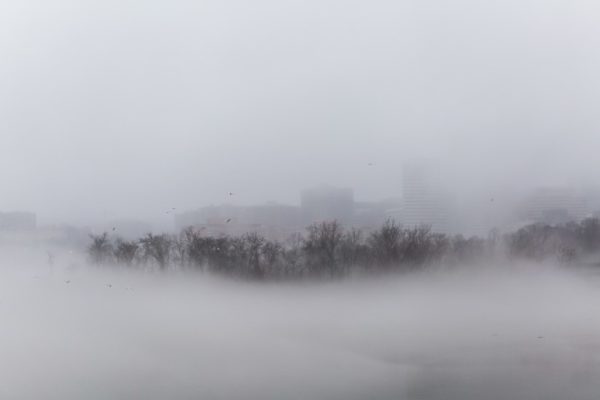
Arlington and much of the D.C. region is under a Dense Fog Advisory until 11 a.m.

Drivers are being encouraged to slow down due to low visibility. More from the National Weather Service:

…DENSE FOG ADVISORY NOW IN EFFECT UNTIL 11 AM EST THIS MORNING… * VISIBILITIES…ONE QUARTER MILE OR LESS AT TIMES. * IMPACTS…LIMITED VISIBILITIES WILL MAKE TRAVEL VERY DIFFICULT. PRECAUTIONARY/PREPAREDNESS ACTIONS… A DENSE FOG ADVISORY MEANS VISIBILITIES WILL FREQUENTLY BE REDUCED TO LESS THAN ONE QUARTER MILE. IF DRIVING, SLOW DOWN, USE YOUR HEADLIGHTS, AND LEAVE PLENTY OF DISTANCE AHEAD OF YOU. &&

Flickr pool photo by Dennis Dimick


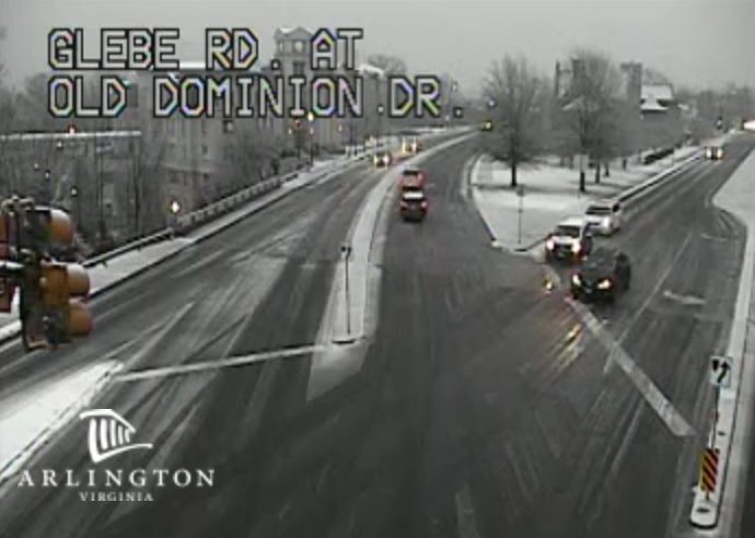
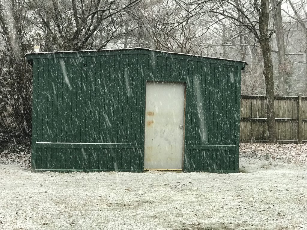
(Updated at 5:40 p.m.) A winter storm with mixed precipitation is turning out to be more snowy than expected inside the Beltway.

Arlington and the rest of metro D.C. has been added to a Winter Weather Advisory that had previously included points north and west of the city.

Around parts of Arlington and Alexandria surveyed by ARLnow.com, even treated roads and sidewalks were slushy as sleet and snow continued to fall in the early evening. A transition to rain is expected before the bulk of the precipitation moves out by midnight.

A number of crashes are being reported throughout the county, many attributed to slippery conditions. In Courthouse, police were considering closing 14th Street N. at N. Uhle Street due to cars “sliding down the hill.” On the northern end of Glebe Road, a crash was reported to be snarling traffic near Chain Bridge.

More from the National Weather Service:

…WINTER WEATHER ADVISORY IN EFFECT UNTIL MIDNIGHT EST TONIGHT… * WHAT…WET SNOW. SNOW ACCUMULATIONS OF UP TO TWO INCHES ARE EXPECTED. * WHERE…METROPOLITAN WASHINGTON DC. * WHEN…UNTIL MIDNIGHT EST TONIGHT. * ADDITIONAL DETAILS…PLAN ON SLIPPERY ROAD CONDITIONS. BE PREPARED FOR REDUCED VISIBILITIES AT TIMES. PRECAUTIONARY/PREPAREDNESS ACTIONS… A WINTER WEATHER ADVISORY FOR WET SNOW MEANS PERIODS OF WET SNOW WILL CAUSE PRIMARILY TRAVEL DIFFICULTIES. BE PREPARED FOR SNOW COVERED ROADS AND LIMITED VISIBILITIES, AND USE CAUTION WHILE DRIVING. THE LATEST ROAD CONDITIONS FOR THE STATE YOU ARE CALLING FROM CAN BE OBTAINED BY CALLING 5 1 1. &&


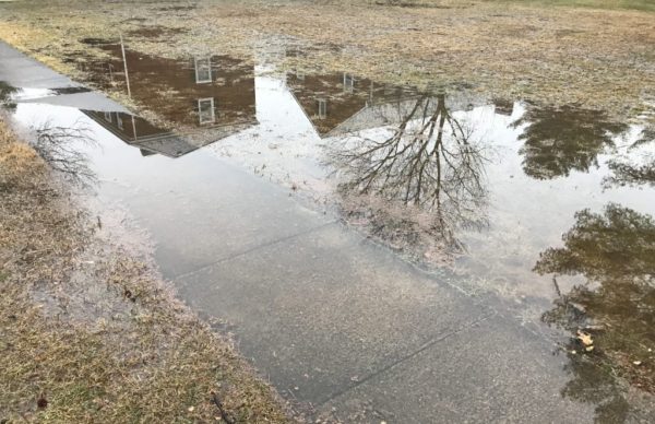
Arlington and parts of the D.C. area are under a Flood Watch starting 7 p.m. Saturday.

The National Weather Service says repeated bouts of moderate-to-heavy rain may cause flooding along streams and low-lying areas.

More from NWS:

…FLOOD WATCH REMAINS IN EFFECT FROM 7 PM EST THIS EVENING THROUGH SUNDAY EVENING… THE FLOOD WATCH CONTINUES FOR * PORTIONS OF MARYLAND, THE DISTRICT OF COLUMBIA, VIRGINIA, AND WEST VIRGINIA… A SLOW MOVING FRONT WILL LEAD TO MULTIPLE ROUNDS OF MODERATE TO HEAVY RAINFALL FROM THIS EVENING THROUGH SUNDAY EVENING. WIDESPREAD RAINFALL AMOUNTS OF 1.5 TO 2 INCHES ARE LIKELY, WITH LOCALIZED AMOUNTS UP TO 3 INCHES POSSIBLE. * HEAVY RAIN MAY LEAD TO FLOODING OF STREAMS AND SOME RIVERS. HIGH WATER MAY ALSO DEVELOP IN LOW-LYING AND POOR DRAINAGE AREAS. PRECAUTIONARY/PREPAREDNESS ACTIONS… A FLOOD WATCH MEANS THERE IS A POTENTIAL FOR FLOODING BASED ON CURRENT FORECASTS. YOU SHOULD MONITOR LATER FORECASTS AND BE ALERT FOR POSSIBLE FLOOD WARNINGS. THOSE LIVING IN AREAS PRONE TO FLOODING SHOULD BE PREPARED TO TAKE ACTION SHOULD FLOODING DEVELOP. &&


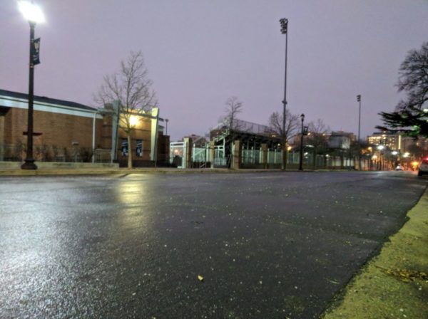
`(Updated at 8:40 a.m.) Very spotty frozen precipitation fell overnight in Arlington, leading to some slick spots but no serious issues.

Concerns about an icy commute, however, led Arlington Public Schools to delay the start of school.

More from APS:

All APS schools and offices will open two hours late today. The Extended Day program will also open two hours late and morning field trips are canceled. Essential employees and food service workers should report to work at their regularly scheduled time. All other employees should report to work two hours past their usual start time.

The school system’s decision, in turn, prompted Arlington’s Dept. of Parks and Recreation to also delay or cancel some of its programs.

From DPR:

Due to an Arlington Public School two-hour delayed opening, DPR will proceed as follows:

  • All congregate meal programs are cancelled.
  • All Early Childhood Programs (Preschool and Co-ops) are cancelled.
  • All Enjoy Arlington classes, 55+ classes, trips, nature center programs and sports league activities scheduled to start prior to 11:59 a.m. are cancelled in all buildings.
  • All Enjoy Arlington classes, 55+ classes, trips, nature center programs and sports league activities with scheduled start times of NOON or later will proceed as scheduled.
  • All evening Enjoy Arlington classes, sports league activities and nature center programs will proceed as scheduled.
  • All Community Centers (including the five joint use centers at Langston, TJ, Gunston, Carver and Drew will open on time as schedule.
  • APS Pools are open on time.

Arlington County government is expected to open on time.

Other delays and closures of note around the region this morning:

  • Federal government: Two hour delay
  • Fairfax County Public Schools: Closed
  • Loudoun County Public Schools: Closed
  • Prince William County Schools: Closed
  • Falls Church City Public Schools: Two Hour Delay
  • Alexandria City Public Schools: Open on time
  • Montgomery County (Md.) Public Schools: Closed
  • D.C. Public Schools: Open on time

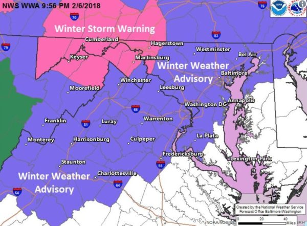
Wednesday morning’s commute may be icy inside and outside the Beltway, forecasters are warning.

A Winter Weather Advisory will be in effect from 3-10 a.m., with sleet and freezing rain expected to fall in Arlington and much of the D.C. region.

More from the National Weather Service:

…WINTER WEATHER ADVISORY REMAINS IN EFFECT FROM 3 AM TO 10 AM EST WEDNESDAY… * WHAT…MIXED PRECIPITATION EXPECTED. A COATING OF SLEET WITH A FEW HUNDREDTHS TO UP TO ONE TENTH OF AN INCH OF ICE IS EXPECTED. THE HIGHEST ICE ACCUMULATIONS WILL BE NORTH AND WEST OF THE CITIES OF WASHINGTON AND BALTIMORE AND NORTH AND WEST OF INTERSTATE 95. * WHERE…THE WASHINGTON AND BALTIMORE METROPOLITAN AREAS AS WELL AS PORTIONS OF THE VIRGINIA PIEDMONT. * WHEN…FROM 3 AM TO 10 AM EST WEDNESDAY. * ADDITIONAL DETAILS…LIGHT SLEET AND FREEZING RAIN WILL OVERSPREAD THE AREA BETWEEN 2 AM AND 5 AM EARLY WEDNESDAY MORNING. PRECIPITATION WILL CHANGE TO RAIN BY 10 AM WEDNESDAY MORNING WITH TEMPERATURES RISING WELL ABOVE FREEZING. THE ICE MAY RESULT IN SLIPPERY CONDITIONS…ESPECIALLY ON ELEVATED SURFACES DURING THE MORNING COMMUTE WEDNESDAY. BE PREPARED FOR REDUCED VISIBILITIES AT TIMES. PRECAUTIONARY/PREPAREDNESS ACTIONS… A WINTER WEATHER ADVISORY MEANS THAT PERIODS OF SNOW, SLEET OR FREEZING RAIN WILL CAUSE TRAVEL DIFFICULTIES. BE PREPARED FOR SLIPPERY ROADS AND LIMITED VISIBILITIES, AND USE CAUTION WHILE DRIVING. THE LATEST ROAD CONDITIONS FOR THE STATE YOU ARE CALLING FROM CAN BE OBTAINED BY CALLING 5 1 1. &&

Arlington and Virginia Dept. of Transportation crews have been preparing to treat roadways overnight. VDOT issued a press release urging drivers to delay trips in the event of slippery conditions and be extra careful if they must hit road early Wednesday.

The Virginia Department of Transportation is treating roads in advance of a wintry mix forecasted to arrive during the early morning hours Wednesday. Drivers are asked to monitor the weather closely (see National Weather Service forecast), and adjust their trips as needed to avoid driving in icy conditions.

Overnight tonight, crews will load and stage trucks in northern Virginia, ready to treat roads with salt and sand through the the morning as needed.

Drivers are asked to:

  • Stay closely tuned to forecasts (see National Weather Service)
  • If conditions are icy, delay trips for safety.
  • Assume any “wet” pavement to be icy. Bridges, ramps, overpasses and lower-volume roads will freeze first, and even previously treated roads become slick quickly with low pavement temperatures.
  • Ensure gas and wiper fluid tanks are full, and have a good emergency kit:www.ready.gov/car.

Some updates via Twitter:


View More Stories