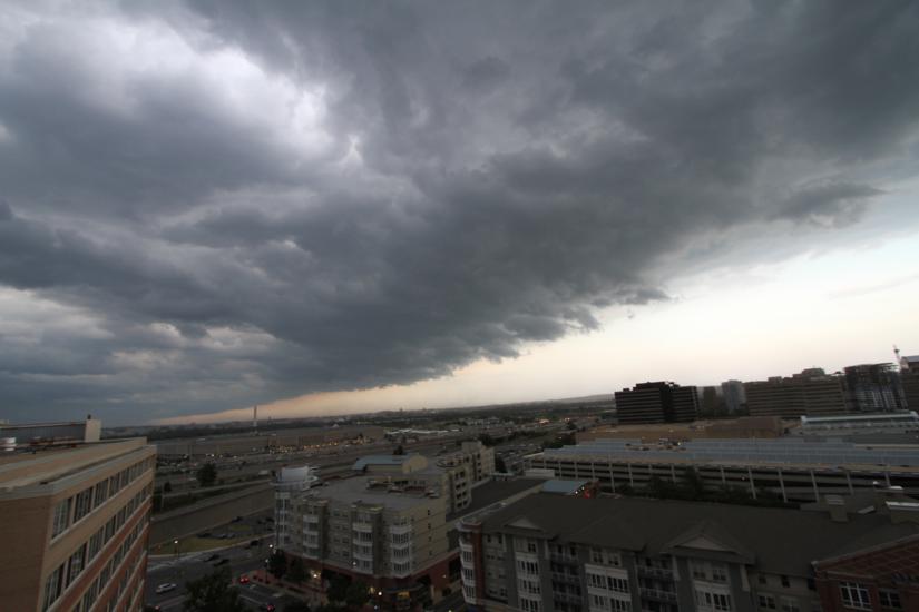
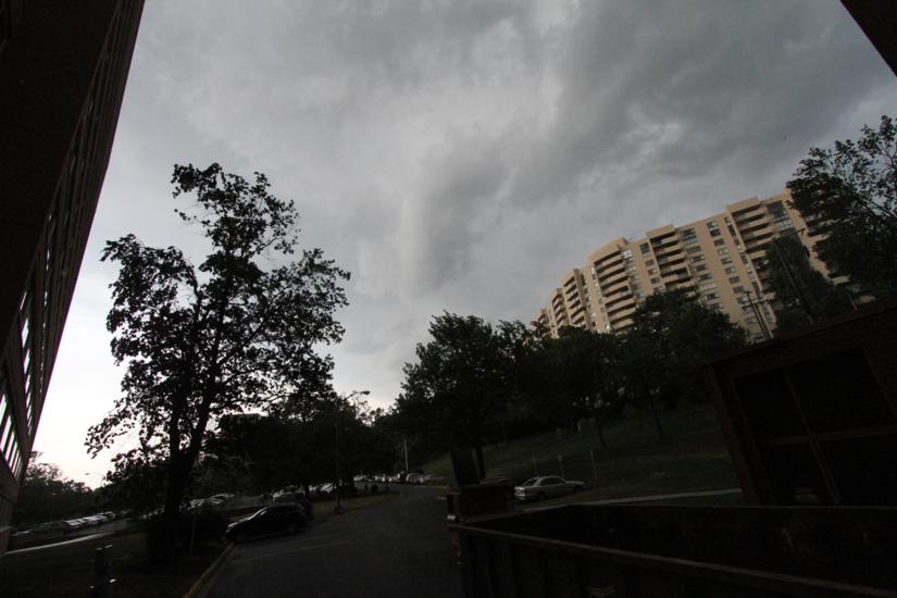
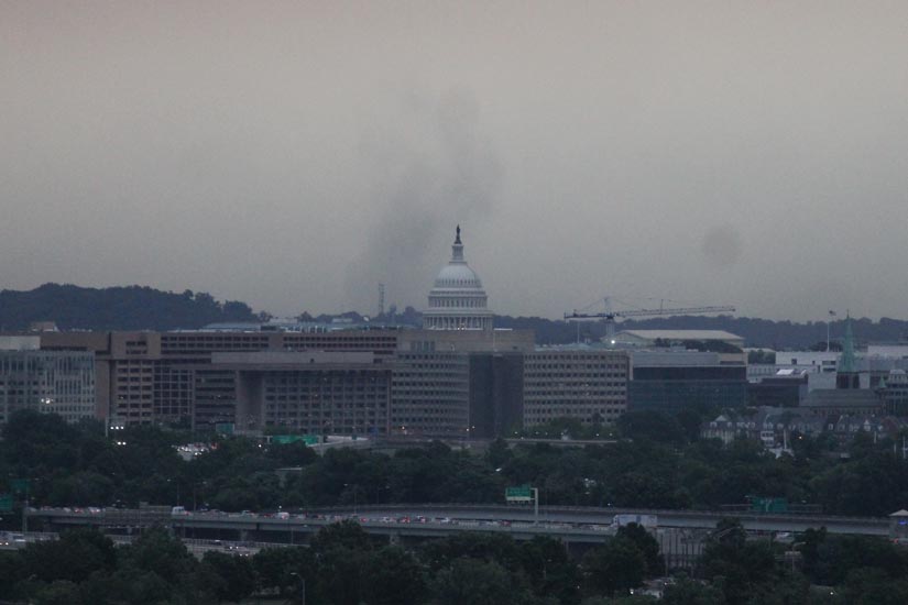
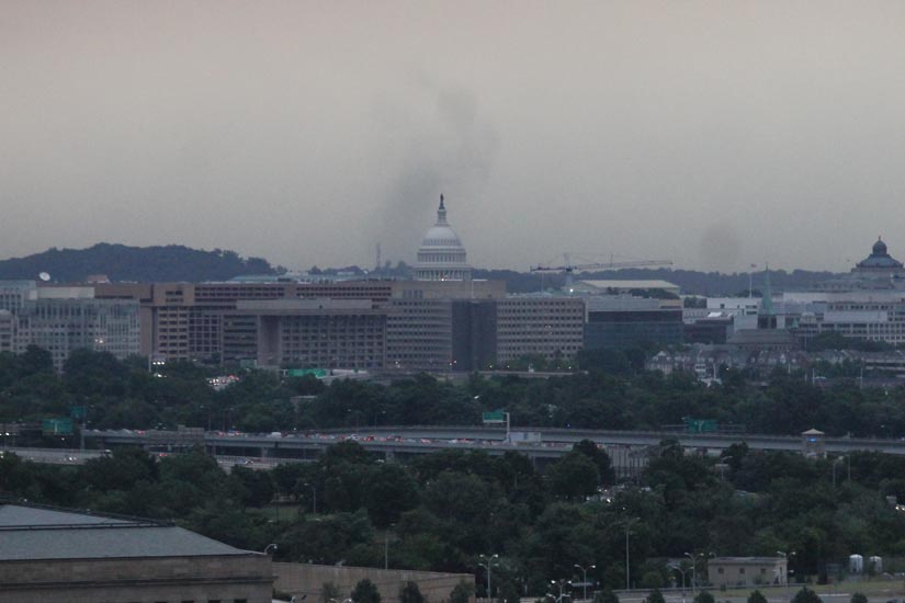
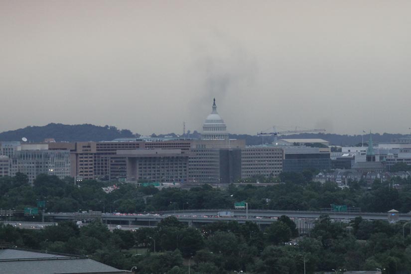
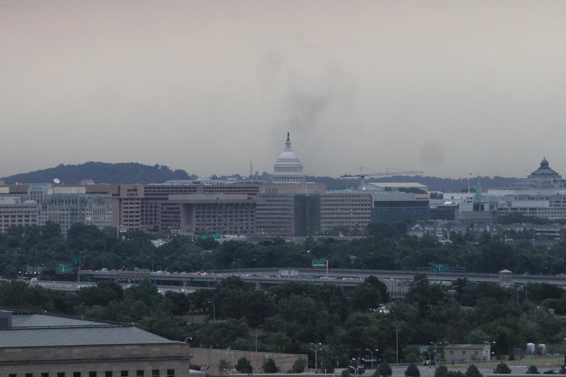
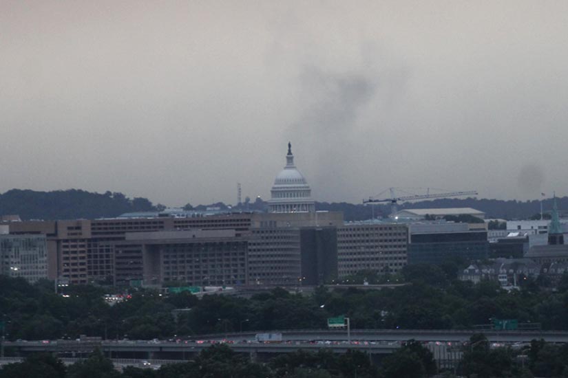
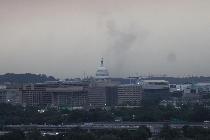
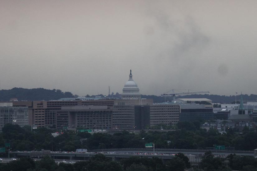
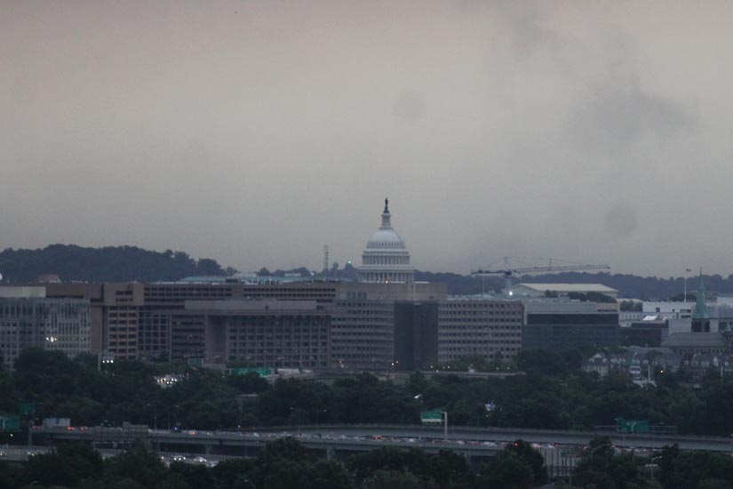
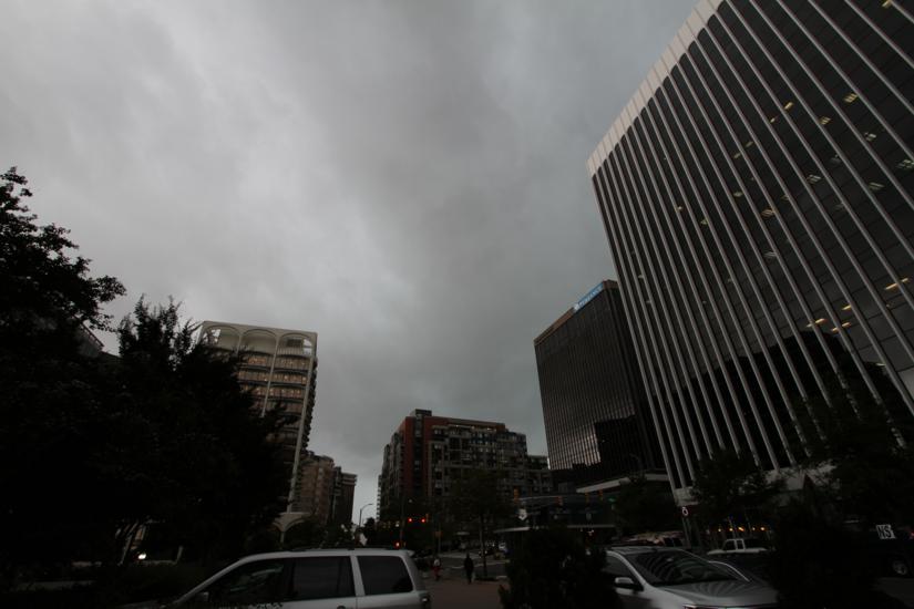
(Updated at 1:15 p.m.) The National Weather Service issued a Tornado Warning for Arlington this afternoon as a dangerous storm system rolled through the area.

The tornado warning has since been canceled, but a flood watch remains in effect through 8:00 p.m. (See below.)

Medics in Arlington responded to at least one report of a person struck by lightning during the storms.

Police reported significant flooding along Four Mile Run in the area of I-395. Flooding was also reported on S. Scott Street near the Wellington apartments, and on Route 50 near Glebe Road.

As of 1:15 p.m., 212 Dominion customers in Arlington County were said to be without power. According to a reader, the Harris Teeter at Lee Highway and N. Harrison Street was among those that had lost power.

…FLOOD WATCH REMAINS IN EFFECT UNTIL 8 PM EDT THIS EVENING…

THE FLOOD WATCH CONTINUES FOR

* PORTIONS OF MARYLAND…THE DISTRICT OF COLUMBIA AND VIRGINIA…

* UNTIL 8 PM EDT THIS EVENING

* A STRONG COLD FRONT WILL IMPACT THE REGION TODAY. A PLUME OF HEAVY RAINFALL IS MOVING SLOWLY ACROSS THE REGION FROM WEST TO EAST THROUGH THIS EVENING. RAINFALL AMOUNTS OF ONE TO THREE INCHES CAN BE EXPECTED WITH LOCALLY HIGHER AMOUNTS POSSIBLE.

* THE HEAVY RAINFALL MAY CAUSE FLOODING OF LOW LYING AREAS… ESPECIALLY IN URBAN AREAS AND LOCATIONS ESPECIALLY PRONE TO FRESHWATER FLOODING. NEVER CROSS ROADS THAT ARE FLOODED. TURN AROUND DON`T DROWN.

PRECAUTIONARY/PREPAREDNESS ACTIONS…

A FLOOD WATCH MEANS THERE IS A POTENTIAL FOR FLOODING BASED ON CURRENT FORECASTS.

YOU SHOULD MONITOR LATER FORECASTS AND BE ALERT FOR POSSIBLE FLOOD WARNINGS. THOSE LIVING IN AREAS PRONE TO FLOODING SHOULD BE PREPARED TO TAKE ACTION SHOULD FLOODING DEVELOP.


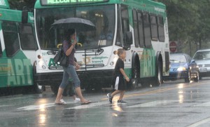
Woman walks through the wind and rain caused by Hurricane Irene (file photo)Today’s sunny and unseasonable warm weather will give way to wind, rain and some strong storms Wednesday.

An approaching cold front will bring the potential for flooding and damaging winds, according to forecasters. Some higher-elevation areas to our west are under a wind advisory starting at 6:00 tonight.

This afternoon, the National Weather Service issued the following advisory for the D.C. area.

A STRONG COLD FRONT WILL IMPACT THE REGION WEDNESDAY INTO EARLY THURSDAY. THE POTENTIAL EXISTS FOR HEAVY RAINFALL AND FLOODING ACROSS THE OUTLOOK AREA. IN ADDITION…A FEW STRONG THUNDERSTORMS CAPABLE OF PRODUCING DAMAGING WIND GUSTS WILL BE POSSIBLE WEDNESDAY AND WEDNESDAY NIGHT.

MINOR COASTAL FLOODING IS LIKELY ALONG THE WESTERN SHORE OF THE CHESAPEAKE BAY AND TIDAL POTOMAC RIVER WEDNESDAY INTO THURSDAY. MODERATE COASTAL FLOODING IS ALSO POSSIBLE AT SENSITIVE SITES WEDNESDAY AND WEDNESDAY NIGHT.

A SMALL CRAFT ADVISORY IS IN EFFECT FOR THE ENTIRE MARYLAND PORTION OF THE CHESAPEAKE BAY AND TIDAL POTOMAC RIVER WEDNESDAY…AND WILL LIKELY NEED TO BE EXTENDED INTO WEDNESDAY NIGHT. GALES ARE ALSO POSSIBLE WEDNESDAY AND WEDNESDAY NIGHT.


Pedestrians brave heavy rains in Courthouse (file photo)A Flood Watch is in effect tonight for Arlington and the rest of the D.C. region.

Forecasters say heavy, drenching rain is moving up from the south in the form of a nor’easter. The storm may produce localized flooding in low-lying areas through early Thursday.

From the National Weather Service:

… FLOOD WATCH REMAINS IN EFFECT FROM 6 PM EDT THIS EVENING THROUGH LATE TONIGHT…

THE FLOOD WATCH CONTINUES FOR

* PORTIONS OF MARYLAND… THE DISTRICT OF COLUMBIA AND NORTHERN VIRGINIA… INCLUDING THE FOLLOWING AREAS… IN MARYLAND… ANNE ARUNDEL… HARFORD… BALTIMORE… HOWARD… MONTGOMERY… AND PRINCE GEORGES. THE DISTRICT OF COLUMBIA. IN NORTHERN VIRGINIA… ARLINGTON/FALLS CHURCH/ALEXANDRIA AND FAIRFAX.

* FROM 6 PM EDT THIS EVENING THROUGH LATE TONIGHT

* LOW PRESSURE APPROACHING FROM THE SOUTHERN ATLANTIC STATES WILL BRING PERIODS OF MODERATE TO HEAVY RAIN ACROSS PORTIONS OF THE AREA LATE THIS EVENING AND CONTINUE OVERNIGHT. ONE TO TWO INCHES OF RAIN WITH LOCALLY HIGHER AMOUNTS ARE EXPECTED BY EARLY THURSDAY.

* PERSISTENT MODERATE TO LOCALLY HEAVY RAIN MAY CAUSE FLOODING OF LOW LYING AREAS… ESPECIALLY IN URBAN AREAS AND LOCATIONS PRONE TO FRESHWATER FLOODING. NEVER CROSS ROADS THAT ARE FLOODED. TURN AROUND DON’T DROWN.

PRECAUTIONARY/PREPAREDNESS ACTIONS…

A FLOOD WATCH MEANS THERE IS A POTENTIAL FOR FLOODING BASED ON CURRENT FORECASTS.

YOU SHOULD MONITOR LATER FORECASTS AND BE ALERT FOR POSSIBLE FLOOD WARNINGS. THOSE LIVING IN AREAS PRONE TO FLOODING SHOULD BE PREPARED TO TAKE ACTION SHOULD FLOODING DEVELOP.


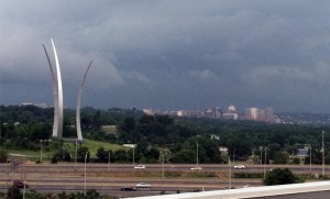
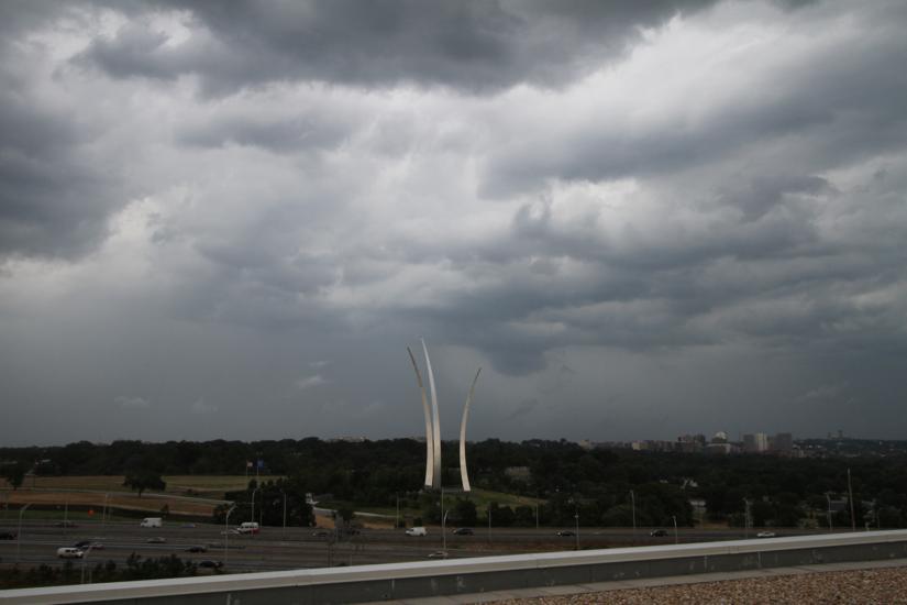
Thunderstorm approaches Arlington, with Rosslyn, the Air Force Memorial and Arlington National Cemetery in the background (file photo)Severe thunderstorms may disrupt outdoor events in Arlington this afternoon and evening.

The National Weather Service has issued a Severe Thunderstorm Watch that’s in effect through 9:00 p.m.

Forecasters say strong storms are possible in the D.C. and Baltimore areas.

From the NWS:

DAMAGING THUNDERSTORMS ARE POSSIBLE THIS AFTERNOON AND EVENING FOR THE BALTIMORE AND WASHINGTON METROPOLITAN AREAS AS WELL AS PORTIONS OF EASTERN WEST VIRGINIA…NORTHERN AND CENTRAL VIRGINIA…AND SOUTHERN MARYLAND. PLEASE MONITOR THIS SITUATION VERY CLOSELY AND ENSURE YOUR NOAA WEATHER RADIOS ARE SET TO ALERT MODE. SEVERE WEATHER WARNINGS MAY BECOME NECESSARY FOR INDIVIDUAL STORMS AND WILL ALERT WEATHER RADIOS IF ISSUED. IF ONE IS ISSUED FOR YOUR AREA…KNOW WHAT TO DO. HERE ARE SOME SAFETY RULES TO KEEP IN MIND WHEN SEVERE WEATHER IS EXPECTED OR IS OCCURRING.

IF A WARNING IS ISSUED FOR YOUR SPOT…HEAD INDOORS IMMEDIATELY. GO TO THE LOWEST FLOOR AWAY FROM WINDOWS. A SEVERE THUNDERSTORM IS DEFINED AS PRODUCING QUARTER SIZE OR GREATER HAIL AND DAMAGING WIND GUSTS OF 58 MPH OR MORE.

STAY TUNED TO NOAA WEATHER RADIO…COMMERCIAL RADIO OR TELEVISION FOR THE LATEST ON THIS POTENTIAL SEVERE WEATHER EVENT. ADDITIONAL WEATHER INFORMATION…CAN BE FOUND AT WEATHER.GOV/WASHINGTON OR WEATHER.GOV/BALTIMORE.


The National Weather Service has issued a flash flood watch for Arlington and the rest of the D.C. metro area. It remains in effect until 2:00 a.m. on Wednesday.

Rain is expected to continue through the evening and the area may also see thunderstorms.

From NWS:

* SHOWERS…WITH EMBEDDED AREAS OF HEAVY RAINFALL…WILL CONTINUE
THROUGH TONIGHT. ALTHOUGH IT WONT BE RAINING ALL THE TIME…
PERIODS OF HEAVY RAIN WILL LEAVE THE GOUND WATER CLOGGED…
RESULTING IN POTENTIAL FLOODING.

PRECAUTIONARY/PREPAREDNESS ACTIONS…

A FLASH FLOOD WATCH MEANS THAT CONDITIONS MAY DEVELOP THAT LEAD
TO FLASH FLOODING. FLASH FLOODING IS A VERY DANGEROUS SITUATION.

YOU SHOULD MONITOR LATER FORECASTS AND BE PREPARED TO TAKE ACTION
SHOULD FLASH FLOOD WARNINGS BE ISSUED.


Heat Advisory hits ArlingtonIt should be a comfortable weather week, with high temperatures in the mid-to-lower 80s through Friday.

With July, usually the hottest month of the year, coming to close this week, it appears that the D.C. region has dodged the usual 100+ degree heat waves of summers past.

In fact, the area seems to have had an inordinate number of relatively mild days this summer.

How do you feel about the weather so far this summer?


Heavy rain from storm in Arlington on 7/14/14The National Weather Service has issued another Severe Thunderstorm Watch for Arlington and the D.C. area tonight.

The watch is in effect from now until 9:00 p.m. Forecasters say more storms with damaging winds and heavy downpours are possible.

Yesterday a similar watch was issued, and was followed by a storm that knocked out power to more than 5,500 Dominion customers in Arlington County.

From NWS:

THUNDERSTORMS ARE EXPECTED…ESPECIALLY THIS AFTERNOON AND EVENING. THUNDERSTORMS WILL BE CAPABLE OF PRODUCING DAMAGING WIND GUSTS AND HEAVY DOWNPOURS THAT COULD LEAD TO LOCALIZED FLASH FLOODING.


Arlington County and the rest of the D.C. area is under a Severe Thunderstorm Watch through 8:00 tonight.

Forecasters say storms with damaging winds and maybe even a tornado are possible this afternoon and evening.

From the National Weather Service:

A SEVERE THUNDERSTORM WATCH IS IN EFFECT UNTIL 8 PM…FOR THE INTERSTATE 95 CORRIDOR OF NORTHERN MARYLAND AND NORTH CENTRAL VIRGINIA…AND LOWER SOUTHERN MARYLAND. NUMEROUS THUNDERSTORMS… SOME SEVERE…WILL DEVELOP THIS AFTERNOON AND EVENING. DAMAGING WIND GUSTS AND AN ISOLATED TORNADO WILL BE THE PRIMARY THREATS. IN ADDITION…ANY THUNDERSTORM WILL PRODUCE VERY HEAVY RAINFALL AND MAY RESULT IN LOCALIZED FLASH FLOODING.


The National Weather Service has issued a Flash Flood Watch for Arlington and the D.C. area.

The watch is in effect through midnight. Forecasters say slow-moving storms may result in heavy rain and isolated flooding.

… FLASH FLOOD WATCH IN EFFECT UNTIL MIDNIGHT EDT TONIGHT…

THE NATIONAL WEATHER SERVICE IN STERLING VIRGINIA HAS ISSUED A

* FLASH FLOOD WATCH FOR PORTIONS OF MARYLAND… THE DISTRICT OF COLUMBIA AND NORTHERN VIRGINIA… INCLUDING THE FOLLOWING AREAS… IN MARYLAND… ANNE ARUNDEL… CHARLES… HARFORD… HOWARD… MONTGOMERY… NORTHERN BALTIMORE… PRINCE GEORGES AND SOUTHERN BALTIMORE. THE DISTRICT OF COLUMBIA. IN NORTHERN VIRGINIA… ARLINGTON/FALLS CHURCH/ALEXANDRIA… FAIRFAX AND PRINCE WILLIAM/MANASSAS/MANASSAS PARK.

* UNTIL MIDNIGHT EDT TONIGHT

* SLOW MOVING SHOWERS AND THUNDERSTORMS ARE LIKELY OVER THE AREA THROUGH THIS EVENING. LOCALLY HEAVY RAINFALL IS EXPECTED IN THE STRONGER STORMS WITH RAINFALL RATES IN EXCESS OF 2 INCHES PER HOUR.

* IN TARGETED AREAS THAT RECEIVE HEAVY DOWNPOURS FOR LONGER THAN 30 MINUTES… FLASH FLOODING MAY BEGIN QUICKLY. BE AWARE OF LOW AREAS THAT MAY FLOOD. NEVER CROSS ROADS THAT ARE FLOODED. TURN AROUND DON’T DROWN.

PRECAUTIONARY/PREPAREDNESS ACTIONS…

A FLASH FLOOD WATCH MEANS THAT CONDITIONS MAY DEVELOP THAT LEAD TO FLASH FLOODING. FLASH FLOODING IS A VERY DANGEROUS SITUATION.

YOU SHOULD MONITOR LATER FORECASTS AND BE PREPARED TO TAKE ACTION SHOULD FLASH FLOOD WARNINGS BE ISSUED.


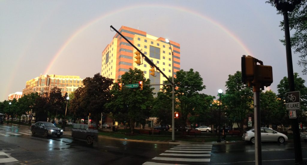
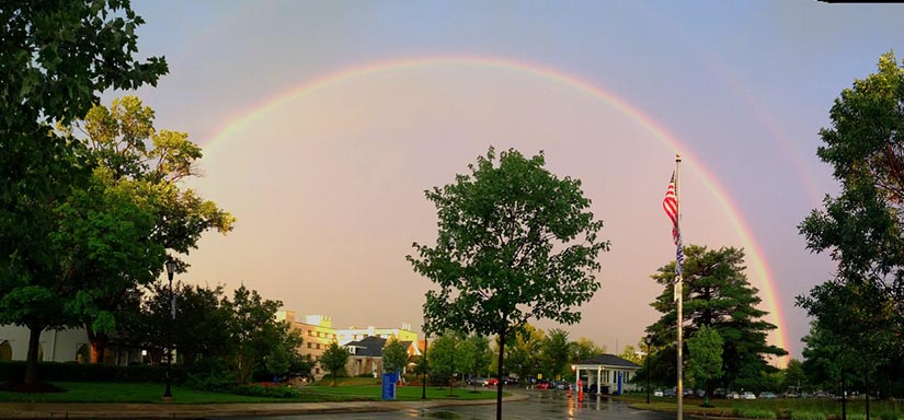
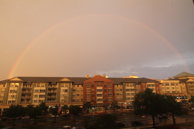
Between storms last night, there was a period of pure serenity — a crystal clear double rainbow appearing in front of a golden sunset.

Many Arlington residents captured the moment on their phones and digital SLRs, and sent us the photos via email, Twitter and our Flickr pool.

Above is a selection of the photos we received.


Update at 10:50 p.m. — Fewer than 1,000 Dominion customers are now in the dark in Arlington. A possible water main break has also been reported in Fairlington.

Nearly 3,000 Dominion customers were without power in Arlington Tuesday night after a line of severe storms packing gusty winds blew through the area.

Most of the power outages were concentrated in south Arlington, in the Pentagon City area. Storms appear to have caused only minor damage in most parts of Arlington, but a reported transformer fire on the 1600 block of Arlington Ridge Road has caused numerous power outages along the east end of Columbia Pike and in Pentagon City, Aurora Highlands and Arlington Ridge, according to Twitter reports.

Police closed Arlington Ridge Road near the blown transformer, while Dominion crews worked to fix it.

Despite the outages, the storms did have some upside: temperatures have cooled down significantly and residents were treated to a spectacular double rainbow at sunset as the storms passed.

Arlington County and much of the D.C. area was under a Severe Thunderstorm Warning earlier. Forecasters said a line of storms approaching the area was packing “destructive” winds, large hail and frequent lightning.

From the National Weather Service:

A SEVERE THUNDERSTORM WARNING REMAINS IN EFFECT UNTIL 830 PM EDT FOR THE CITY OF ALEXANDRIA… THE CITY OF FAIRFAX… THE CITY OF FALLS CHURCH… THE CITY OF MANASSAS… THE CITY OF MANASSAS PARK… PRINCE WILLIAM… FAIRFAX… CALVERT… ANNE ARUNDEL… PRINCE GEORGES… ARLINGTON… HOWARD AND MONTGOMERY COUNTIES AND THE DISTRICT OF COLUMBIA…

AT 715 PM EDT… SEVERE THUNDERSTORMS WERE DETECTED ALONG A LINE EXTENDING FROM LAUREL TO KENILWORTH TO FRANCONIA… AND WERE MOVING EAST AT 40 MPH.

THESE STORMS ARE CAPABLE OF PRODUCING DAMAGING WINDS IN EXCESS OF 60 MPH.

LOCATIONS IMPACTED INCLUDE… RIDGEWAY… SEVERN… SUITLAND… DISTRICT HEIGHTS… SOUTH GATE… PRINCE GEORGES STADIUM… GAMBRILLS… MORNINGSIDE… SEVERNA PARK… HERALD HARBOR… CROWNSVILLE… CLINTON… CAPE ARTHUR… RIVERDALE… CHELSEA BEACH… PASADENA… SILLERY BAY… LAKE SHORE… BODKIN POINT… NAVY-MARINE CORPS MEMORIAL STADIUM…

THIS IS A DANGEROUS LINE OF STORMS. IF YOU ARE IN ITS PATH… MOVE INDOORS TO A STURDY BUILDING AND STAY AWAY FROM WINDOWS. WHEN IT IS SAFE TO DO SO… REPORT SEVERE WEATHER TO LOCAL LAW ENFORCEMENT OR TO THE NATIONAL WEATHER SERVICE.

THIS LINE OF STORMS HAS A HISTORY OF PRODUCING WIDESPREAD WIND DAMAGE. SEEK SHELTER INSIDE A STURDY STRUCTURE AND STAY AWAY FROM WINDOWS.


View More Stories