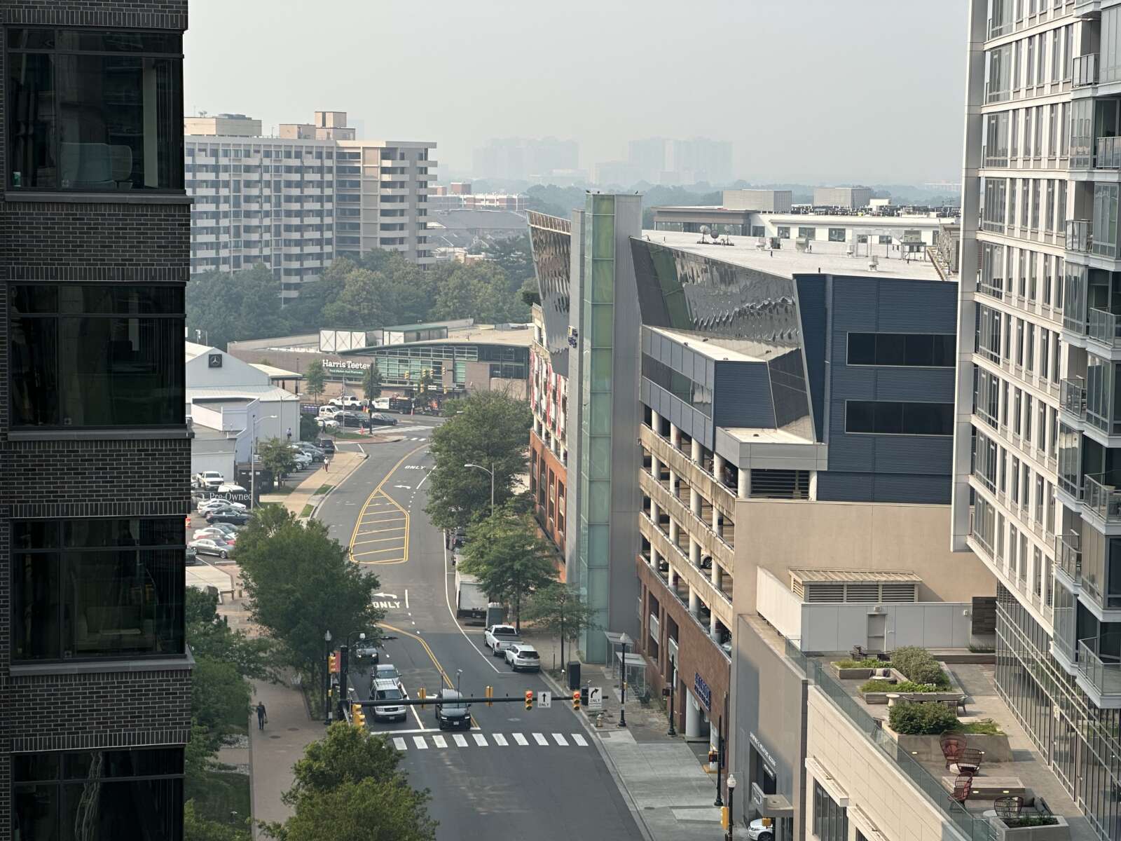
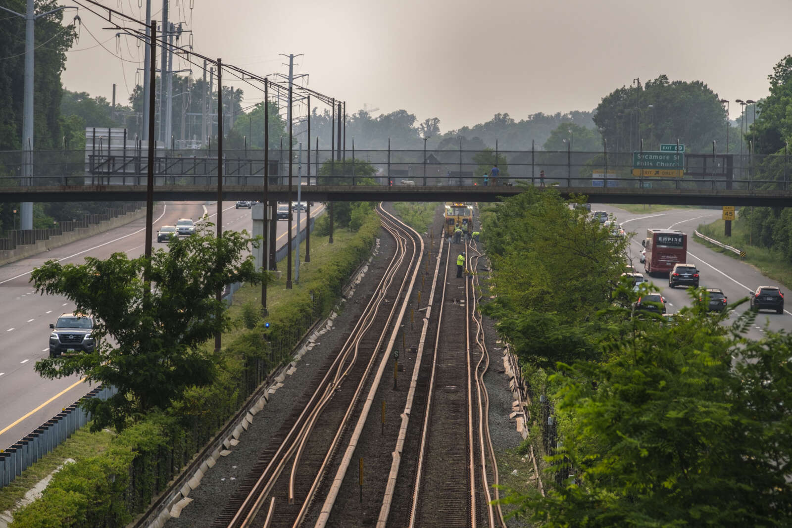
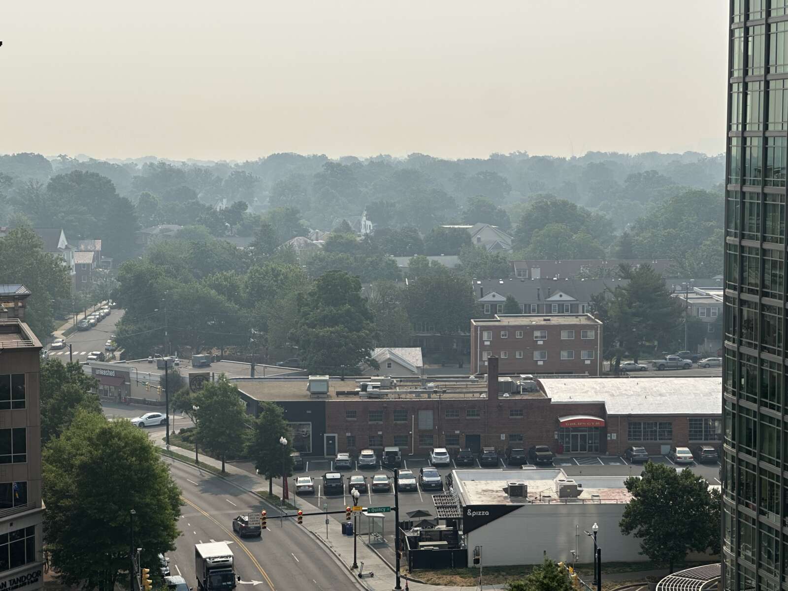
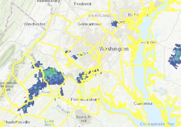
Update at 9:30 a.m. — The air quality has worsened and entered the “Code Maroon” — or “hazardous” — category.

Update at 8:50 a.m. — Air quality in Arlington has reached well into the Code Purple “Very Unhealthy” category, with an AQI of 276. All locals should avoid spending time outside if possible or wear an N95 or similar mask.

Arlington Public Schools and the county parks department, meanwhile, have cancelled all outdoor activities Thursday.

“School will operate as usual today with some modifications,” APS said this morning. “All APS field trips scheduled for today to outdoor locations have been canceled. All APS outdoor activities, including outdoor afterschool activities, have been canceled. APS indoor activities will continue as planned.”

From DPR: ” Due to the air quality, all outdoor DPR and partner programs are canceled for today. We will continue to monitor the health advisory and will notify you of any future related cancellations.”
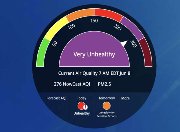
Air quality reading for Arlington as of 8 a.m. Thursday (via airnow.gov)

Earlier: Thursday will be another Code Red air quality alert day for Arlington and the D.C. area.

The good news, though, is that some relief from the wildfire smoke is in sight.

Authorities issued the Code Red alert just before 5 p.m. today, urging people to stay inside and avoid outdoor exercise. From the National Weather Service:

…AIR QUALITY ALERT IS IN EFFECT FOR THURSDAY JUNE 8 2023…
The Virginia Department of Environmental Quality has issued a Code RED Air Quality Alert Thursday for Northern Virginia. A Code Red Air Quality Alert means that air pollution concentrations within the region are unhealthy for the general population. The effects of air pollution can be minimized by avoiding strenuous activity or exercise outdoors. For more information on ground-level ozone and fine particles visit the web site Virginia DEQ air quality web site at www.deq.virginia.gov.

Separately, NWS said in a Special Weather Statement that a front should “bring some reprieve to fine particle concentrations” on Friday.

…POOR AIR QUALITY IN THE MID-ATLANTIC THROUGH FRIDAY DUE TO CANADIAN WILDFIRES…

Due to Canadian wildfires, smoke is prevalent in the mid-Atlantic region, including the greater Baltimore and Washington metropolitan areas. Under northerly winds, smoke will continue to be pushed south over our area. The smoke is expected to be rather thick to start the day Thursday, but may start to decrease through the day. A front on Friday will bring some reprieve to fine particle concentrations.

Depending on your location, Air Quality will vary, with much of the area either Code Orange or Code Red – possibly through Friday. […]

Some areas may see Code Red, which means “unhealthy for the general population.” If you are under a Code Red Air Quality Alert, everyone should keep outdoor activities light and short.

For those people in sensitive groups, consider moving all activities indoors.

The effects of air pollution on people can be minimized by avoiding strenuous outdoor activity or exercise indoors. Go indoors if you have symptoms.

Earlier today, Arlington hit measured air quality levels even worse than the Code Red threshold, though it has since improved somewhat.


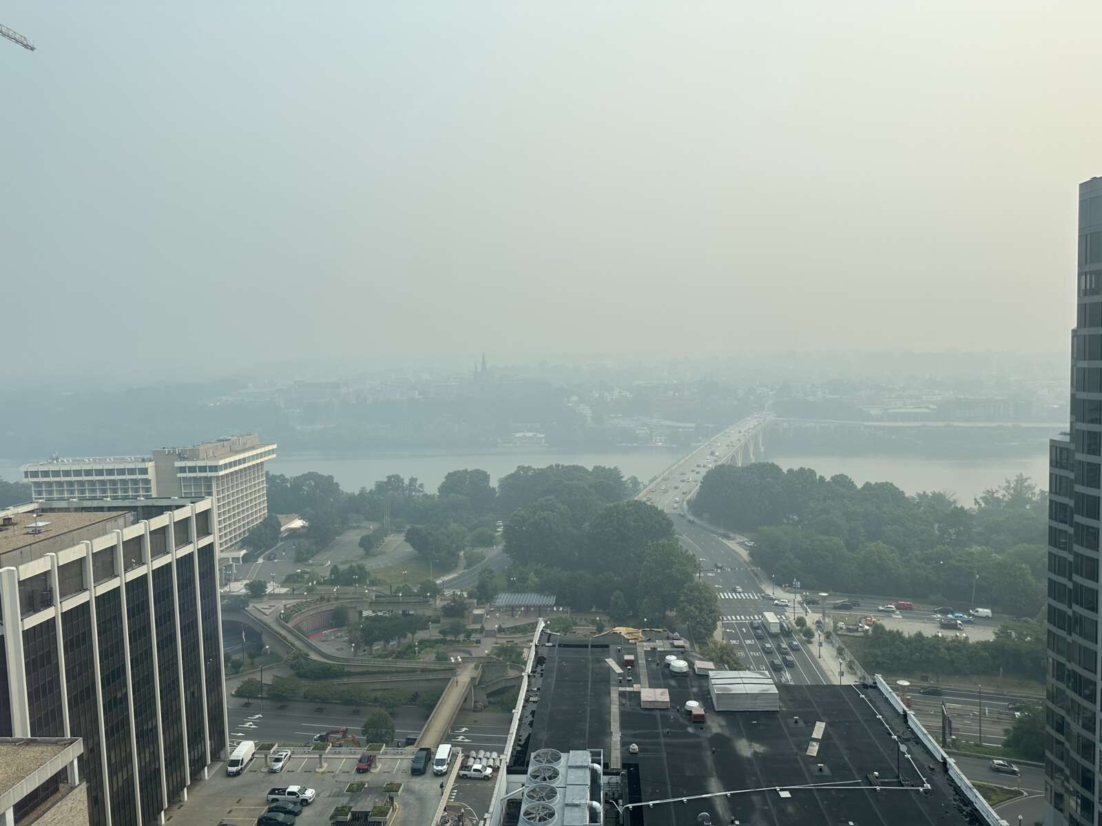
(Updated at noon) Air quality measurements have exceeded Code Red levels in the D.C. area, according to the Metropolitan Washington Council of Governments.

It’s no surprise to anyone who can see and smell the smoke outside. The thick haze has been wafting into the region from the north, amid severe wildfires in Canada.

The Council of Government says it expects tomorrow to be a Code Red day as well.

The Metropolitan Washington Council of Governments (COG) has issued a Code Red Air Quality Health Advisory for the metropolitan Washington region. Current air quality conditions have reached Code Red, unhealthy levels for everyone. In addition, tomorrow, June 8, is currently forecast to be a Code Red day.

The region has experienced 6 Code Orange days (unhealthy for sensitive groups) so far this year, and no Code Red days until today.

Smoke coming from fires in Quebec, Canada is contributing to the increased levels of fine particle pollution.

COG advises the following health precautions:

  • Everyone may experience health effects and should limit outdoor activity.
  • Members of sensitive groups like individuals with respiratory and heart ailments, emphysema, asthma, or chronic bronchitis may experience more serious health effects.

Residents can check current air quality conditions and the forecast on COG’s website or by downloading a free air quality app from COG’s Clean Air Partners program.

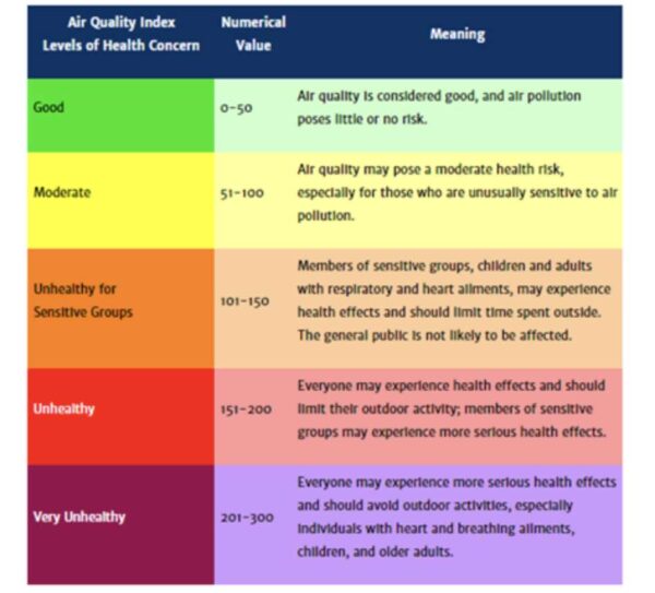
Air quality levels (via Metropolitan Washington Council of Governments)

Among other impacts, at least one Arlington elementary school postponed a planned outdoor field day due to the unhealthy air. And, just before noon, Arlington Dept. of Parks and Recreation cancelled all outdoor programs.

It’s not only people who are being urged to stay inside. The Animal Welfare League of Arlington is reminding residents to keep their pets inside as well.

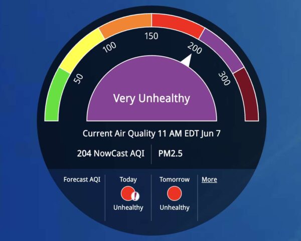
As of 11 a.m., as pointed out by a reader on social media, the air quality level in Arlington has reached 204 AQI, or the purple “Very Unhealthy” category above Code Red.

“Everyone may experience more serious health effects and should avoid outdoor activities,” the MWCOG air quality table says about the level.

The Arlington County Fire Department, meanwhile, has responded to several calls this morning for people — including an Arlington Public Schools student — experiencing trouble breathing, according to scanner traffic.

Air quality reading for Arlington as of 11 a.m. Wednesday (via airnow.gov)

Soccer at Highlands Park in the haze along Hayes Street in Pentagon City (staff photo by Jay Westcott)

Updated at 9:45 a.m. — The Code Orange alert has been changed to a Code Red alert.

Wednesday is forecast to be a “Code Orange” day in Arlington and across the D.C. area.

That’s according to the Metropolitan Washington Council of Governments, which says local air quality will be “unhealthy for sensitive groups.”

Air quality is low across much of the eastern U.S. as smoke from wildfires in Canada is blown south, making for hazy skies and, in some cases, a campfire-like smell outside.

More on the Code Orange alert, below, from MWCOG.

The Metropolitan Washington Council of Governments (COG) has forecast a Code Orange air day for the metropolitan Washington region tomorrow: Wednesday, June 7. Code Orange levels mean the air is unhealthy for sensitive groups. Smoke coming from fires in Canada will contribute to the increased levels of fine particle pollution.

On unhealthy air days, COG advises the following health precautions:

  • Children and older adults should reduce outdoor activities.
  • Healthy individuals should limit strenuous work or exercise, especially outdoors.
  • Individuals with respiratory and heart ailments, emphysema, asthma, or chronic bronchitis should limit their activity level. If breathing becomes difficult, move indoors.

Residents can check current air quality conditions on COG’s website or by downloading a free air quality app from Clean Air Partners.

On unhealthy air days, residents are encouraged to take the following actions to help reduce pollution:

  • Turn off lights and electronics when not in use and follow tips from your electric utility about how to use less electricity to cool your home.
  • Avoid lawn mowing or use an electric mower.
  • Use transit, carpool, or work from home to limit driving. Fill up your gas tank during evening hours.

COG provides air quality forecasts and current air quality conditions for metropolitan Washington. It also educates the public about voluntary actions people can take to reduce pollution and the health risks of bad air quality through its Clean Air Partners program, which is co-sponsored by the Baltimore Metropolitan Council.

It’s possible that a Code Red air quality alert could be issued in the coming days, as the smoke gets worse locally, according to the Capital Weather Gang.


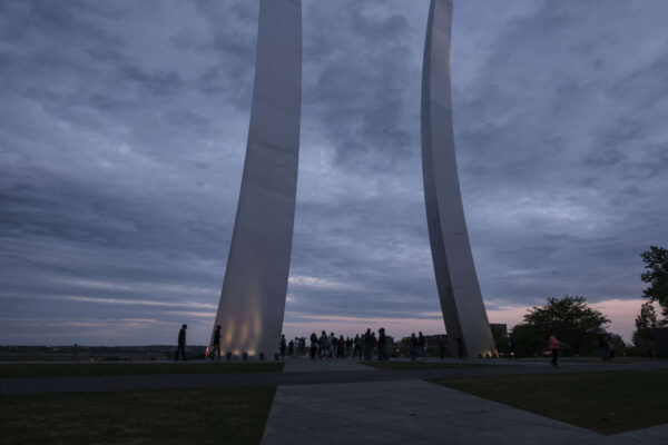
Visitors at the US Air Force Memorial (staff photo by Jay Westcott)

We’re now into the back third of meteorological spring and it’s feeling more like… the beginning?

It has been a notably cool (and wet) end to April and start of May, right around when one might have been expecting some warmer weather to move in.

As this post is being written, the thermometer is sitting at 48 degrees, which sounds more like May in Manitoba than Arlington. (In fact, it’s currently a touch warmer in Winnipeg.)

A relatively modesty warm up is on the way, however. Near-average temperatures are expected to return next week, according to the Capital Weather Gang’s outlook.

With low temperatures frequently dipping into the 40s and highs mostly in the 50s and 60s this week, it will feel more like March than May. But highs should leap into the 70s or warmer next week…

For the second half of May, longer term models project near to slightly below normal temperatures.

What best describes your reaction to the current cool stretch?


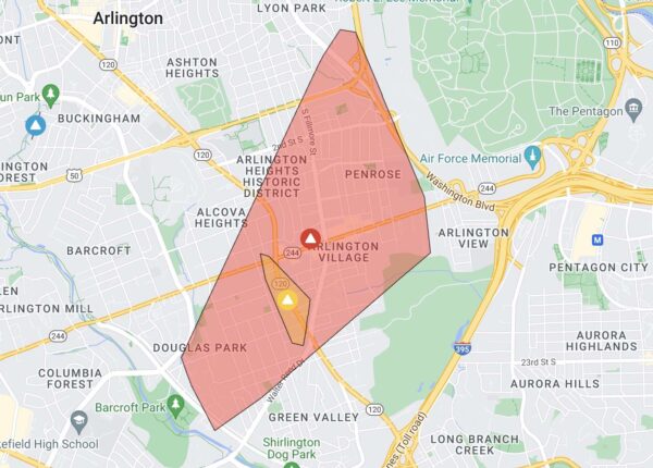
Arlington power outages 4/22/23 (via Dominion)

Just over 5,000 Dominion customers were without power Saturday afternoon, according to the power company’s website.

The large outage, centered around Columbia Pike but running from Douglas Park in the south to Lyon Park in the north, is the result of storm damage, Dominion said. A line of thunderstorms with gusty winds and heavy rain rolled through Arlington prior to the outage.

A total of 5,044 customers were affected as of 2:45 p.m.

Dominion reported nearly 20,000 outages throughout Northern Virginia following the storms. The good news is that an earlier Severe Thunderstorm Watch has been dropped for Northern Virginia locales, suggesting that the worst of the storms is over.

Update at 7:20 p.m. — Power has mostly been restored after an hours-long outage. Fewer than 250 homes and businesses in Arlington remain in the dark as night falls, according to Dominion.


Updated at 9:40 a.m. — The earlier watch has been upgraded to a Red Flag Warning. From the National Weather Service:

…RED FLAG WARNING IN EFFECT FROM NOON TODAY TO 8 PM EDT THIS EVENING FOR GUSTY WINDS AND LOW HUMIDITY FOR VIRGINIA, SOUTHERN MARYLAND, AND EASTERN WEST VIRGINIA PANHANDLE…

The National Weather Service in Baltimore MD/Washington has issued a Red Flag Warning for gusty winds and low humidity, which is in effect from noon today to 8 PM EDT this evening.

* WINDS…West 15 to 25 mph with gusts up to 35 to 45 mph.

* RELATIVE HUMIDITY…As low as 18 percent.

* IMPACTS…Critical fire weather conditions are expected through this evening. All outdoor burning is discouraged, as fires could rapidly spread and become uncontrollable.

* FUEL MOISTURE…Dropping to around 7 or 8 percent.

PRECAUTIONARY/PREPAREDNESS ACTIONS…

A Red Flag Warning means that critical fire weather conditions are either occurring now, or will shortly. A combination of strong winds, low relative humidity, and warm temperatures can contribute to extreme fire behavior.

Earlier: Arlington County, along with much of the D.C. area, will be under a Fire Weather Watch tomorrow.

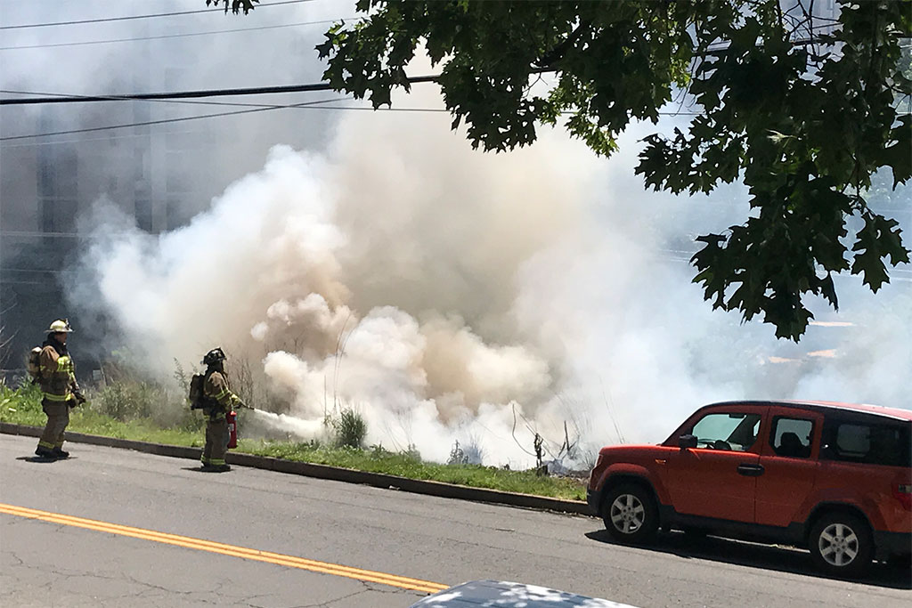
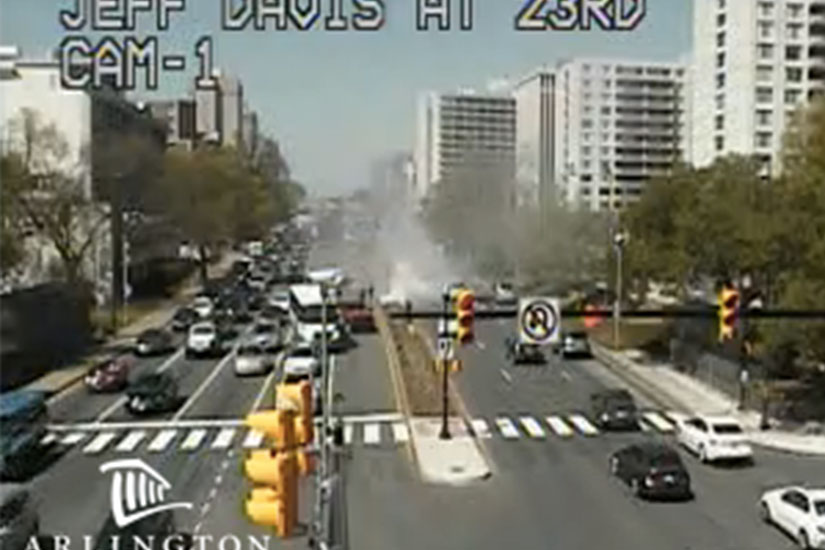
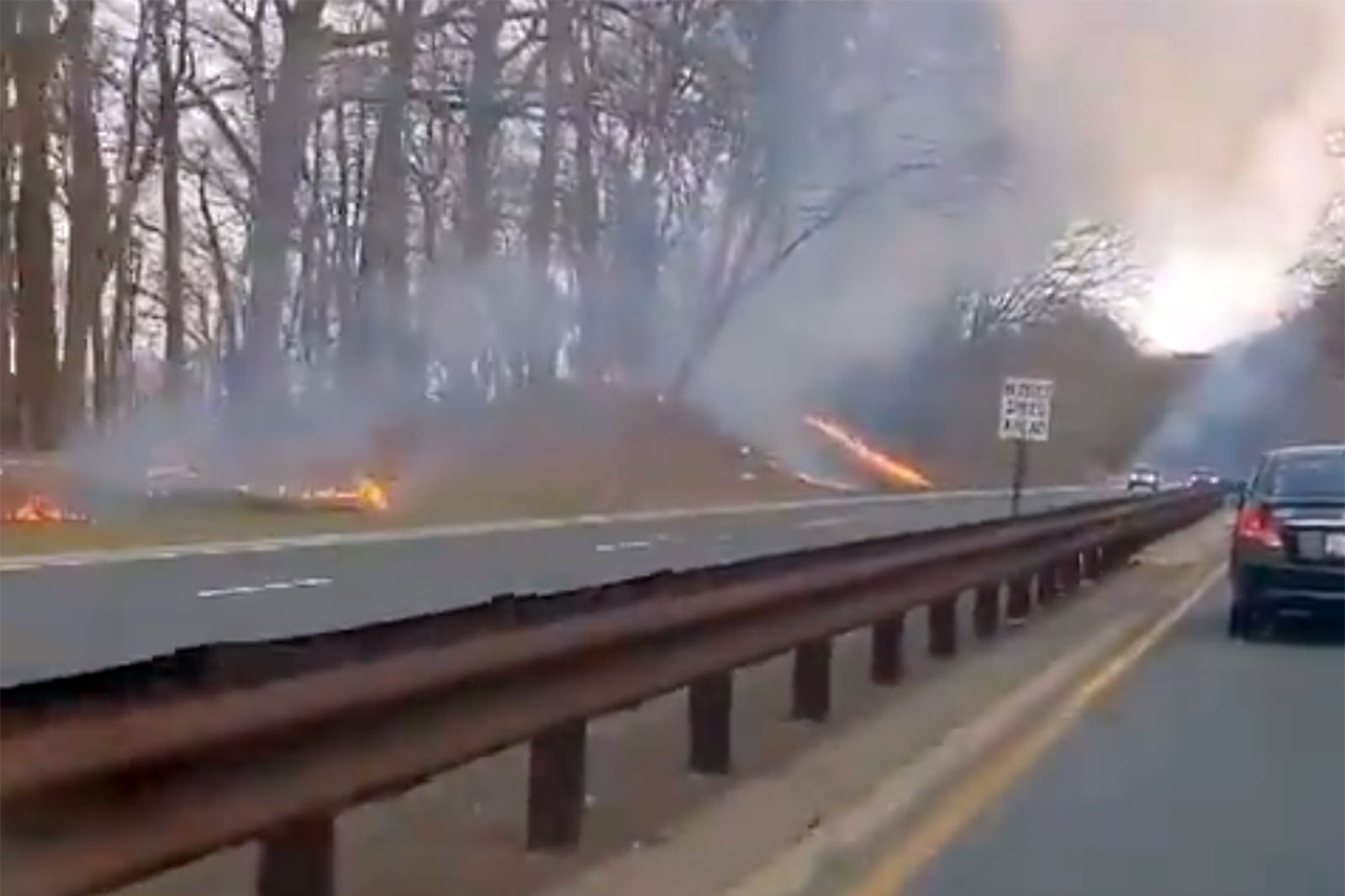
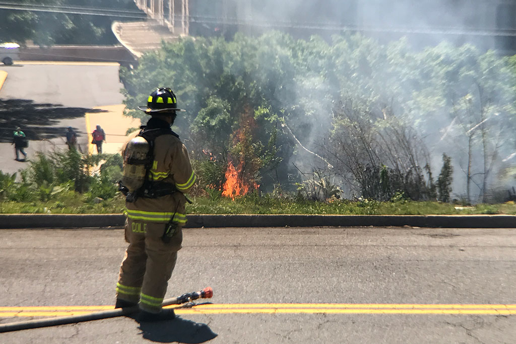
Small brush fires are not uncommon in Arlington, though at no point in recent history has one threatened a home, as happened in D.C. last month.

Forecasters say Tuesday’s weather will be windy with low humidity — ideal for the spread of brush fires.


Frost on plants (staff photo)

Protect those sensitive plants and that outdoor plumbing now — the potential for freezing overnight temperatures has prompted a Freeze Warning for Arlington and other parts of the D.C. area.

More from the National Weather Service:

…FREEZE WARNING IN EFFECT FROM 2 AM TO 10 AM EDT MONDAY…

* WHAT…Sub-freezing temperatures as low as 28 to 32 degrees expected.

* WHERE…Portions of central, northeast, northern and southern Maryland, The District of Columbia and central and northern Virginia.

* WHEN…From 2 AM to 10 AM EDT Monday.

* IMPACTS…Frost and freeze conditions will kill crops, other sensitive vegetation and possibly damage unprotected outdoor plumbing.

Instructions:

Take steps now to protect tender plants from the cold. To prevent freezing and possible bursting of outdoor water pipes they should be wrapped, drained, or allowed to drip slowly. Those that have in-ground sprinkler systems should drain them and cover above- ground pipes to protect them from freezing.


Radar image of incoming storm

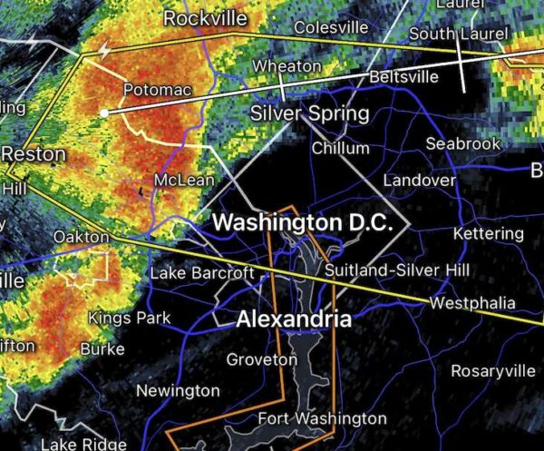
A strong storm is approaching Arlington from the west, prompting a Severe Thunderstorm Warning — the first of the year.

From the National Weather Service:

The National Weather Service in Sterling Virginia has issued a

* Severe Thunderstorm Warning for… The District of Columbia… Southeastern Montgomery County in central Maryland… Northern Prince Georges County in central Maryland…

Arlington County in northern Virginia… The City of Falls Church in northern Virginia… Northeastern Fairfax County in northern Virginia…

* Until 700 PM EDT.

* At 617 PM EDT, a severe thunderstorm was located over Tysons Corner, or over American Legion Bridge, moving east at 40 mph.
HAZARD…60 mph wind gusts.
SOURCE…Radar indicated.
IMPACT…Damaging winds will cause some trees and large branches to fall. This could injure those outdoors, as well as damage homes and vehicles. Roadways may become blocked by downed trees. Localized power outages are possible. Unsecured light objects may become projectiles….

HAIL THREAT…RADAR INDICATED
MAX HAIL SIZE…<.75 IN
WIND THREAT…RADAR INDICATED
MAX WIND GUST…60 MPH


Severe Thunderstorm Watch map on 4/6/23 (via National Weather Service)

Arlington and much of the D.C. area is now under a Severe Thunderstorm Watch.

The watch is in effect until 10 p.m.

Forecasters say today’s sunshine and warmth may fuel strong storms starting this afternoon. Damaging winds and hail are possible through the evening hours.


Flags blowing in the wind at Arlington County government headquarters (staff photo by Jay Westcott)

(Updated at 9:15 a.m.) Batten down the hatches, it’s going to get pretty windy Saturday.

The National Weather Service has upgraded the earlier High Wind Watch for Arlington to a High Wind Warning, in effect Saturday from noon to midnight.

Forecasters say gusts of up to 60 mph could fell trees, knock out power to parts of the area, and make travel treacherous.

More from NWS:

…HIGH WIND WARNING REMAINS IN EFFECT FROM NOON SATURDAY TO MIDNIGHT EDT SATURDAY NIGHT…

* WHAT…Southwest winds 20 to 30 mph with gusts up to 50 mph Saturday afternoon, becoming northwest 25 to 35 mph with gusts up to 60 mph Saturday evening.

* WHERE…Portions of central and northern Maryland, The District of Columbia, and northern Virginia.

* WHEN…From noon Saturday to midnight EDT Saturday night. The strongest winds are expected Saturday evening.

* IMPACTS…Damaging winds will blow down trees and power lines. Widespread power outages are expected. Travel will be difficult, especially for high profile vehicles.

The expected weather is already postponing outdoor events, like National Landing’s Pink in the Park event.

More via social media:

https://twitter.com/NationalLanding/status/1642125435403218949


Flags on cars for sale flap in the strong winds at a dealer on Columbia Pike (staff photo by Jay Westcott)

Arlington County and surrounding areas, including D.C., are currently under a Wind Advisory.

Gusty winds are expected to persist throughout the day an into the overnight hours Wednesday. With gusts of up to 50 mph, downed trees and power outages are possible.

More from the National Weather Service.

523 AM EDT Tue Mar 14 2023

…WIND ADVISORY NOW IN EFFECT FROM 9 AM THIS MORNING TO 2 AM EDT WEDNESDAY…

* WHAT…Northwest winds 25 to 35 mph with gusts up to 50 mph expected.

* WHERE…Portions of central, north central, northeast, northern and southern Maryland, The District of Columbia and northern and northwest Virginia.

* WHEN…From 9 AM this morning to 2 AM EDT Wednesday.

* IMPACTS…Gusty winds could blow around unsecured objects. Tree limbs could be blown down and a few power outages may result.

PRECAUTIONARY/PREPAREDNESS ACTIONS…

Use extra caution when driving, especially if operating a high profile vehicle. Secure outdoor objects.


View More Stories