Warmer than normal temperatures have many people experiencing spring fever in our area. While the trails and parks are swarming with revelers trying to soak up the sun, it may not be time to get out the gardening gear just yet.

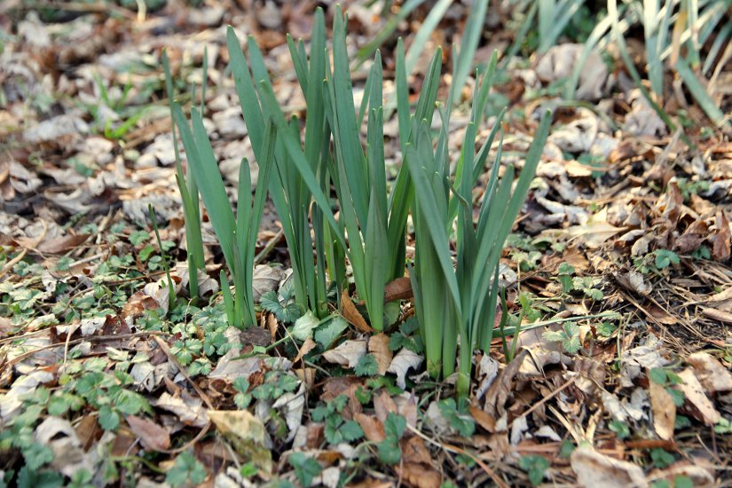
The sporadic 50 and 60 degree days have some bulbs sprouting early and have even prompted a pollen update today. The Capital Weather Gang reports that January broke our string of three colder than average winters. The average temperature of 40.8 was only 4.8 degrees warmer than the normal of 36, but brought us the 17th warmest January on record since 1871.

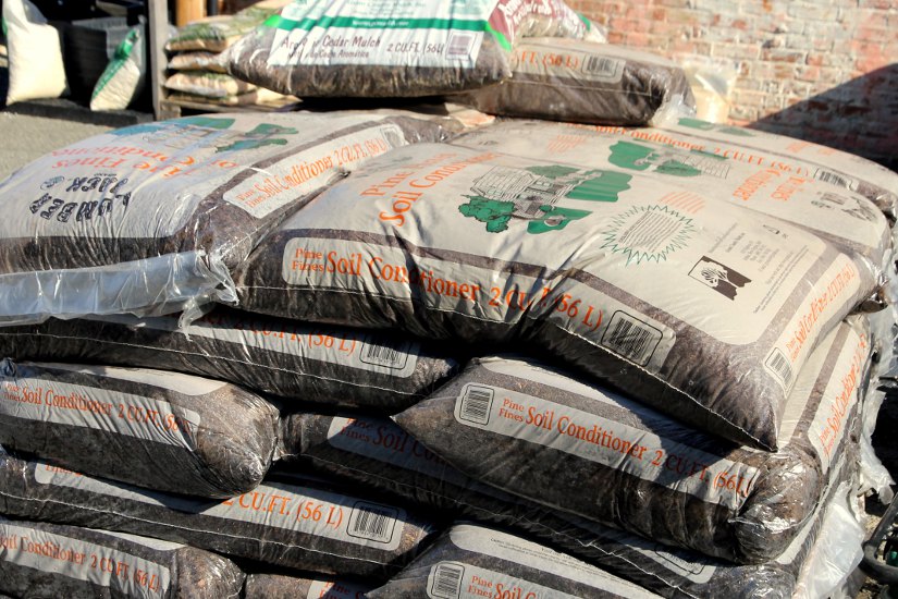
So with the early sprouting and continued mild weather, is it OK to start gardening yet? Not so fast. According to Manager Carey Fortnoff at Bill’s True Value Garden Center (4756 Lee Hwy), it all depends on what you’re going to plant. Small ground plants could still die if another cold snap occurs. Frost would harm the roots and kill the entire plant. Fortnoff says it’s best to wait until mid-March when the threat of frost has passed.

If you can’t wait that long and want to take advantage of the mild conditions, soil can be tilled and fortified with peat and lime right now. Some larger trees and bushes also may be able to withstand another chill if put in the ground soon. Pansies are also a popular choice for planting immediately due to hardiness. Another popular option is to germinate seeds in starter pots indoors, then move the small plants outside in March.

Fortnoff said although most of the spring planting supplies are already in or on their way, the rush of gardeners hasn’t hit yet.

“February is our graveyard month,” Fortnoff said. “But if you have something in mind you know you want to do, like seeding grass, come in and browse.”

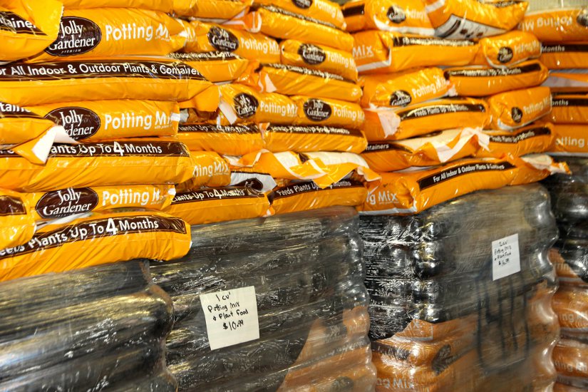
If you do want to get some yard work in, now is the time. This may be the last dry 60 degree day we experience for a while. It’s also a good time to buy gardening supplies while items are well stocked.


VDOT has deployed salt trucks and the federal government has delayed its opening in advance of expected freezing rain tonight.

The National Weather Service has issued a freezing rain advisory, in effect until 6:00 a.m. Monday. Forecasters say periods of freezing rain will leave a trace to a tenth of an inch of ice on local roadways before tomorrow’s morning rush hour.

VDOT says it’s prepared to treat slick spots overnight.

“About 770 trucks are patrolling roads in Fairfax, Loudoun and Prince William counties, continuously treating icy spots such as ramps, bridges, elevated surfaces and other problem areas,” VDOT said in a press release. “With icy road conditions expected during rush hour, VDOT recommends motorists consider teleworking or delaying travel until after 10 a.m. Monday.”

The federal government, meanwhile, has told its hundreds of thousands of D.C. area employees to stay off the roads until at least 9:00 a.m. tomorrow.

“Due to expected icy conditions, the U.S. Office of Personnel Management recommends that Federal employees remain off the road until 9:00 a.m. on Monday, January 23,” OPM said in a statement. “Federal Government offices will open to the public at 11:00 a.m. Employees who commute to the office will be granted excused absence for the delayed arrival. Employees have the option to use unscheduled leave and/or unscheduled telework for the entire workday in lieu of a delayed arrival.”


The D.C. area is under a Winter Weather Advisory tonight as an approaching storm is expected to drop snow, sleet and freezing rain on the region.

Forecasters say the precipitation will begin around 11:00 tonight, starting off as snow and sleet before transitioning to freezing rain overnight. The weather event is expected to end as plain rain around 1:00 p.m. tomorrow. Locally, snow and sleet accumulation could total up to an inch, with up to 1/10 inch of freezing rain, according to the National Weather Service.

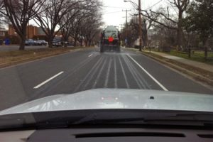
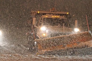
Arlington County crews are preparing for the winter weather by pre-treating main roads with salt brine (see photo) to guard against icy conditions. Still, the county is asking residents to avoid unnecessary car trips during the storm.

“Team members and their equipment will be on standby overnight and will remain so until the weather event turns to full rain,” said  Arlington Department of Environmental Services spokeswoman Shannon Whalen McDaniel. “Residents are encouraged to stay off the roads due to the potential for hazardous conditions.”

Photo courtesy Arlington DES


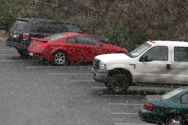
(Updated at 1:45 p.m.) Normally, a few non-accumulating snow flurries in mid-January wouldn’t be the least bit notable. But given the anemic winter we’ve had thus far, we thought the brief bout of snow activity spotted around Arlington this afternoon was worth a mention.

Forecasters say the flakes could last a couple more hours, and could create a light coating on grassy areas, especially for points south of Arlington.

Don’t expect a triumphant return of winter weather just yet, however. High temperatures are expect to head back up to the mid-50’s by mid-week.


Mother nature treated us to some spectacular sights last night.

Following a prolonged period of rain yesterday, the sun came out just in time to produce an extraordinary golden sunset and a vivid double rainbow.

Photos courtesy Brendan Lilly (top), BrianMKA (left), and Rich Thomasson (right).


With talk of some snowflakes in the forecast tonight, Arlington County picked a good day to debut a new web portal called “Arlington Snow and Ice Central.”

The website offers one-stop shopping for residents seeking more information on winter weather preparations, winter weather safety tips, road condition and snow plowing updates, and answers to snow removal ordinance questions. The site also links to the county’s snow issue reporting page.

One of the new features introduced with the new portal is a “snow phase system,” which will designate how far along the county is in its snow clearing efforts after a storm. The page will indicate whether the county is in Phase 1, 2, 3, or 4.

Phase 1 is the “Alert” phase, when snow crews are pre-treating roads and residents are being encouraged to park their cars off-street, if possible.

Phase 2 is the “Primary Routes” phase, when the storm is in progress or has just concluded. In this phase, county and VDOT crews are working to clear primary and secondary roads only. Residents are encouraged to stay off the roads and help clear sidewalks during this phase.
Phase 3 is the “Residential Streets” phase, when crews are working to make residential streets passable while widening the clear path on primary roads.

Phase 4, the “Clean Up” phase, is when crews will focus on removing ice and slush from roads while using the sun as a tool for melting leftover snow.

Arlington County said it’s ready to respond should winter weather strike.

“When forecasters predict winter weather — snow, ice or freezing rain — Arlington’s plows and salt trucks are prepped and ready to go,” the county said in a press release. “Residents, at any time, can check the storm’s progress, track the County’s efforts to clear streets of snow, and learn how to best prepare for the winter weather. The current phase will be posted on the County web site and social media channels.”


The “S” word has been on the lips of many in the metro area this week. That’s right, much to the chagrin of many residents, there’s a slight chance we’ll get a rare October snowfall.

Coincidentally, Arlington County started its annual snow training this week. Workers have been hooking up trucks, doing some trial runs and making sure all equipment is ready for the season.

Water, Sewer and Streets Bureau Chief Operating Engineer Dave Hundelt said, “Conveniently we get a random forecast for flurries or light rain/snow and overnight temps right near freezing for this weekend.”

Hundelt says Arlington doesn’t plan on mobilizing its plow or salting teams this weekend because the pavement temperatures will remain well above freezing. That prevents any precipitation from sticking to the ground or causing major driving issues. However, if the forecast changes and conditions worsen, crews could be expected to mobilize.

Currently, Arlington is not included in the winter storm watches or warnings issued by the National Weather Service for many surrounding counties. Although that could change, right now there is only a chance for a light snow shower or a rain/snow mix around here. Due to the uncertainty of the storm, most weather experts are putting the chances of snow on Saturday around 50-50.

Fall snowstorms are worrisome because trees haven’t yet shed all their leaves, making the branches heavy and susceptible to snapping off as a result of accumulation. This traditionally makes autumn snow more dangerous than winter storms.

The last time the metro area experienced a significant snowstorm in October was back on October 10, 1979.


The National Weather Service has issued a Flash Flood Warning for Arlington and the surrounding region.

* FLASH FLOOD WARNING FOR… THE DISTRICT OF COLUMBIA… WEST CENTRAL PRINCE GEORGES COUNTY IN CENTRAL MARYLAND… CITY OF ALEXANDRIA IN NORTHERN VIRGINIA… EASTERN ARLINGTON COUNTY IN NORTHERN VIRGINIA… SOUTHEASTERN PRINCE WILLIAM COUNTY IN NORTHERN VIRGINIA… SOUTHEASTERN FAIRFAX COUNTY IN NORTHERN VIRGINIA…

* UNTIL 1115 PM EDT

* AT 812 PM EDT… NATIONAL WEATHER SERVICE DOPPLER RADAR INDICATED VERY HEAVY RAINFALL CAPABLE OF PRODUCING FLASH FLOODING FROM A THUNDERSTORM OVER THE WARNED AREA. RAINFALL RATES OF ONE TO TWO INCHES PER HOUR CAN BE EXPECTED WITH THIS STORM.

* SOME LOCATIONS THAT WILL CONTINUE TO BE AFFECTED BY THE HEAVY RAIN INCLUDE ALEXANDRIA… ARLINGTON… BALLSTON… DUMFRIES… FORT BELVOIR… FRANCONIA… LORTON… NEWINGTON… ROSSLYN… SPRINGFIELD… WOODBRIDGE… HYATTSVILLE… LANDOVER… LANGLEY PARK… ADAMS MORGAN… ANACOSTIA… GEORGETOWN… AND DOWNTOWN WASHINGTON.

PRECAUTIONARY/PREPAREDNESS ACTIONS…

EXCESSIVE RUNOFF FROM HEAVY RAINFALL WILL CAUSE FLOODING OF SMALL CREEKS AND STREAMS… URBAN AREAS… HIGHWAYS… STREETS AND UNDERPASSES AS WELL AS OTHER DRAINAGE AREAS AND LOW LYING SPOTS.

A FLASH FLOOD WARNING MEANS THAT FLOODING IS IMMINENT OR OCCURRING. IF YOU ARE IN THE WARNING AREA MOVE TO HIGHER GROUND IMMEDIATELY. RESIDENTS LIVING ALONG STREAMS AND CREEKS SHOULD TAKE IMMEDIATE PRECAUTIONS TO PROTECT LIFE AND PROPERTY. DO NOT ATTEMPT TO CROSS SWIFTLY FLOWING WATERS OR WATERS OF UNKNOWN DEPTH BY FOOT OR BY AUTOMOBILE.


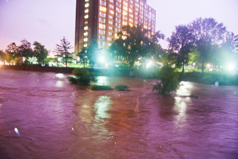
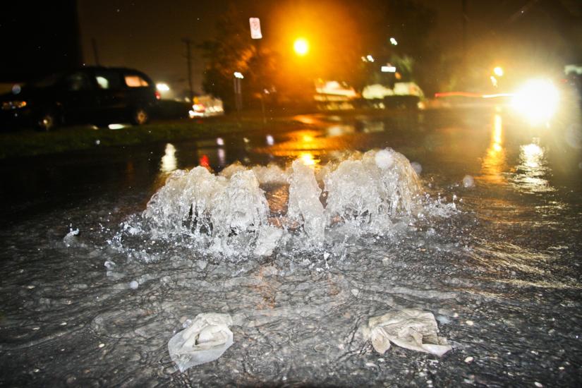
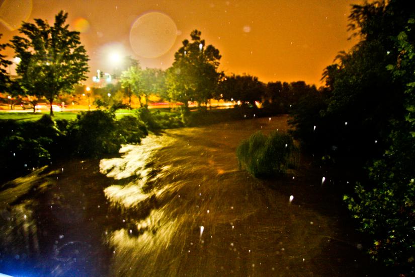
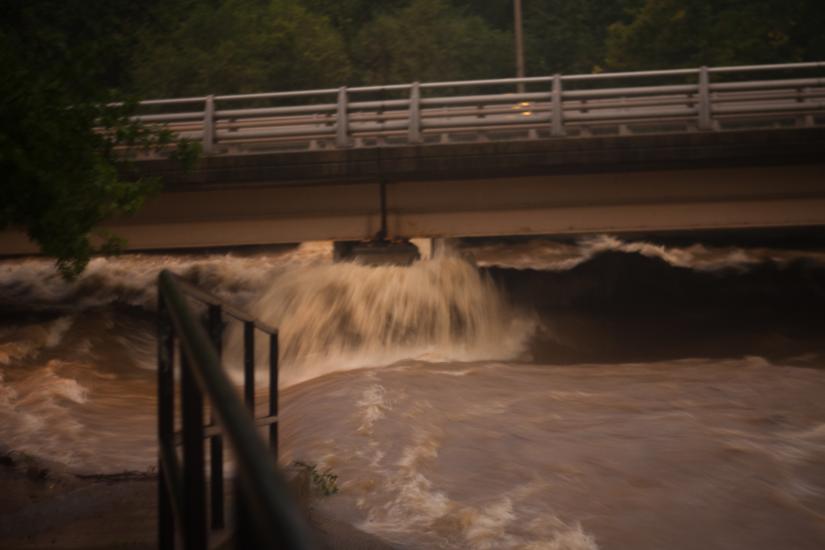
Despite dozens of flooded basements and a couple of thousand Dominion customers without power, Arlington was largely spared the flooded roads and swift water rescues that took place elsewhere in Northern Virginia.

In fact, Arlington firefighters were able to help out neighboring jurisdictions like Falls Church, Fairfax County and Alexandria during the worst of flooding last night.

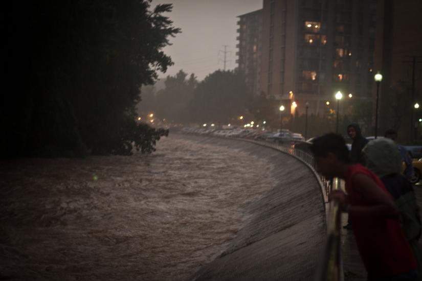
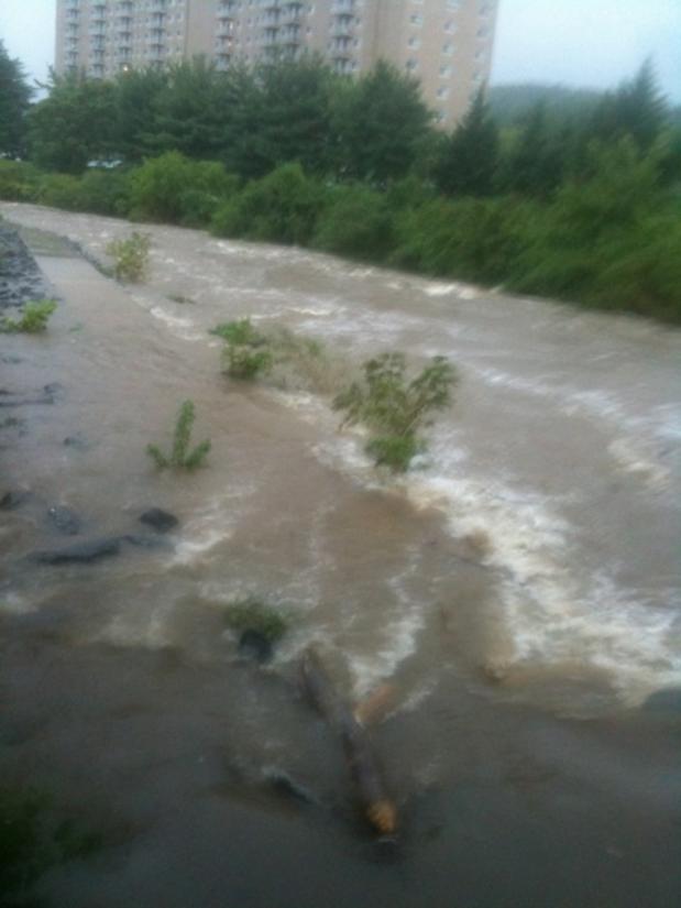
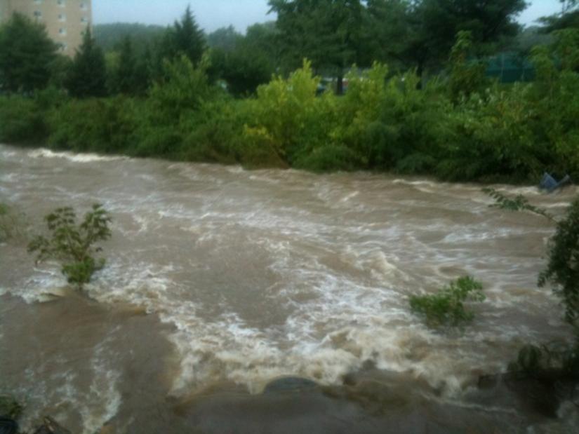
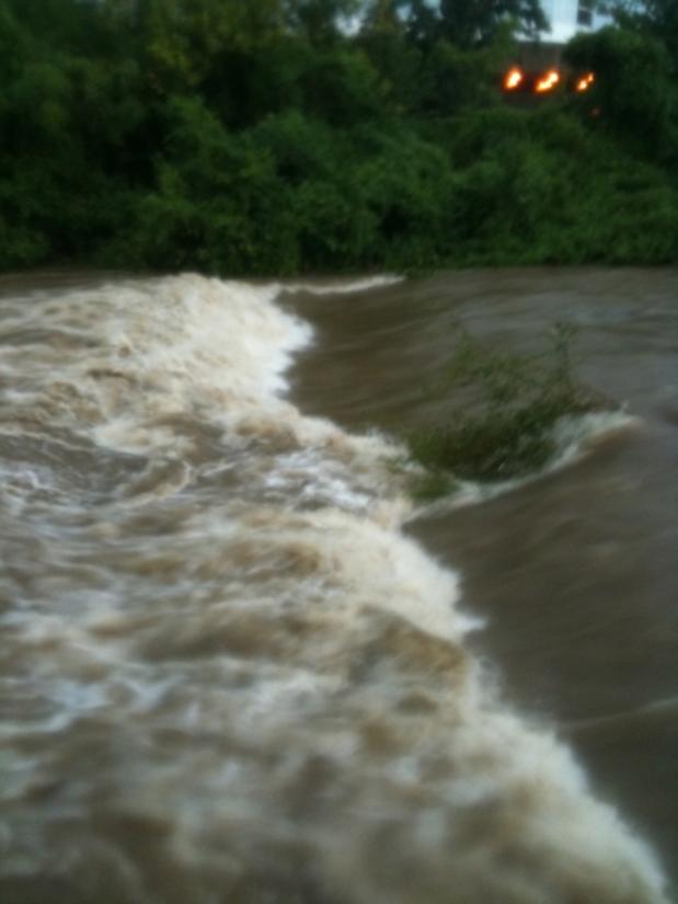
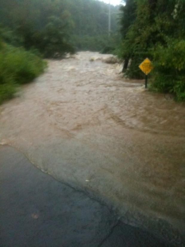
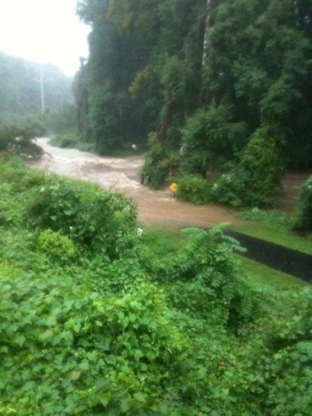
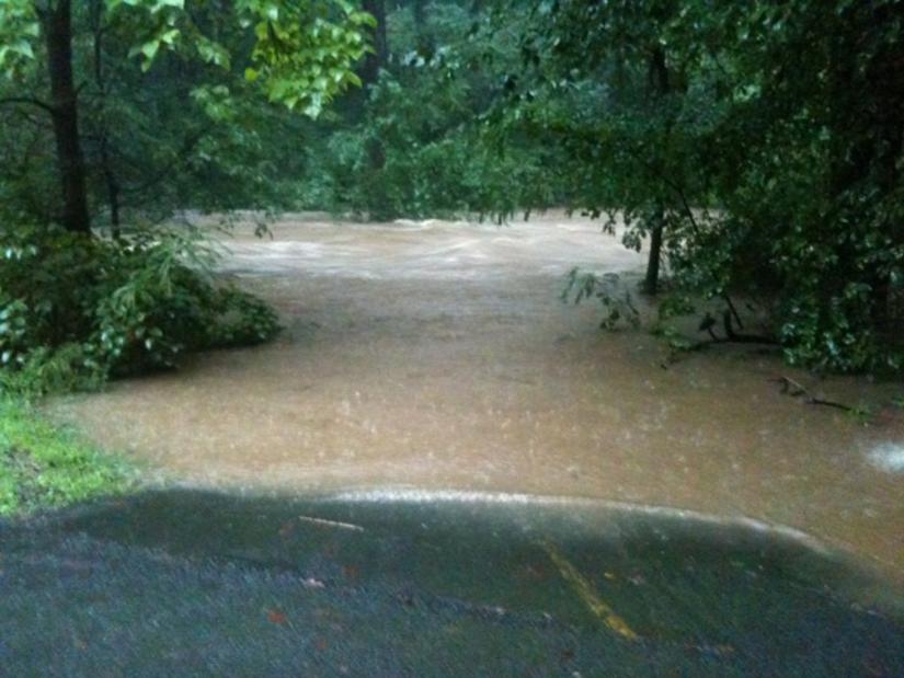
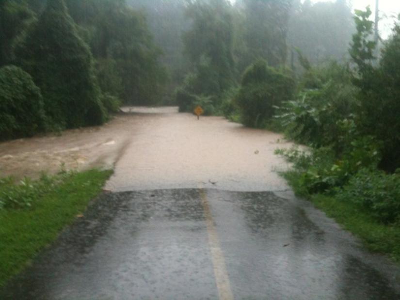
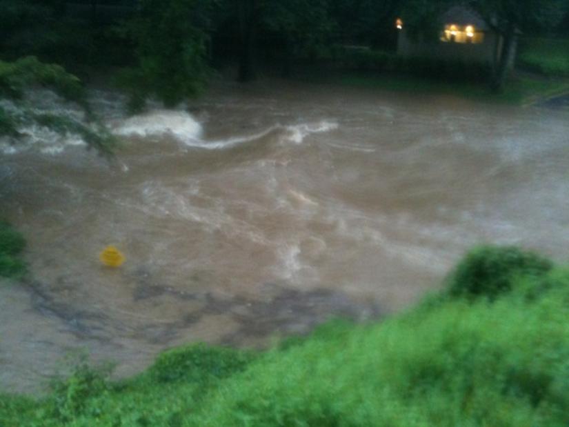
That’s not to say, however, that there was no flooding in Arlington. These photos, many of which were taken along Four Mile Run and the W&OD Trail, show just how bad things got.

Photos courtesy Brendan L. and Anonymous


Update at 11:25 p.m. — A flood warning has been issued for the area, through 5:00 a.m.

Another flash flood warning has been issued for Arlington and the surrounding area.

Heavy rains and thunderstorms moving up from the south are producing a high risk of flash flooding through the night. In the past hour, numerous flooded road have been reported in the City of Falls Church, while at least a dozen flooded basements have been reported in Arlington.

From the National Weather Service:

* FLASH FLOOD WARNING FOR… THE DISTRICT OF COLUMBIA… SOUTHEASTERN MONTGOMERY COUNTY IN CENTRAL MARYLAND… WESTERN PRINCE GEORGES COUNTY IN CENTRAL MARYLAND… CITY OF FALLS CHURCH IN NORTHERN VIRGINIA… ARLINGTON COUNTY IN NORTHERN VIRGINIA… CHARLES COUNTY IN SOUTHERN MARYLAND… NORTHWESTERN ST. MARYS COUNTY IN SOUTHERN MARYLAND…

* UNTIL 1230 AM EDT

* AT 825 PM EDT… NATIONAL WEATHER SERVICE DOPPLER RADAR INDICATED MODERATE TO VERY HEAVY RAINFALL CONTINUING OVER THE WASHINGTON DC METRO… WITH THE HEAVIEST TO THE SOUTH AND WEST OF WASHINGTON DC. NUMEROUS ROAD CLOSURES FROM FLASH FLOODING HAS BEEN REPORTED ACROSS THE CITY OF FALLS CHURCH… ARLINGTON COUNTY AND WESTERN AND SOUTHERN PORTIONS OF CHARLES COUNTIES. FLASH FLOODING WILL LIKELY CONTINUE THROUGH THE REMAINDER OF THE EVENING.

* SOME LOCATIONS THAT WILL CONTINUE TO BE AFFECTED BY THE HEAVY RAIN INCLUDE ARLINGTON… INDIAN HEAD… ST. CHARLES… WALDORF… ANACOSTIA… FORT WASHINGTON… PORT TOBACCO RIVER… SWAN POINT AND WICOMICO RIVER.

PRECAUTIONARY/PREPAREDNESS ACTIONS…

ADDITIONAL RAINFALL AMOUNTS OF ONE TO TWO INCHES ARE POSSIBLE IN THE WARNED AREA.

EXCESSIVE RUNOFF FROM HEAVY RAINFALL WILL CAUSE FLOODING OF SMALL CREEKS AND STREAMS… HIGHWAYS AND UNDERPASSES. ADDITIONALLY… COUNTRY ROADS AND FARMLANDS ALONG THE BANKS OF CREEKS… STREAMS AND OTHER LOW LYING AREAS ARE SUBJECT TO FLOODING.

A FLASH FLOOD WARNING MEANS THAT FLOODING IS IMMINENT OR OCCURRING. IF YOU ARE IN THE WARNING AREA MOVE TO HIGHER GROUND IMMEDIATELY. RESIDENTS LIVING ALONG STREAMS AND CREEKS SHOULD TAKE IMMEDIATE PRECAUTIONS TO PROTECT LIFE AND PROPERTY. DO NOT ATTEMPT TO CROSS SWIFTLY FLOWING WATERS OR WATERS OF UNKNOWN DEPTH BY FOOT OR BY AUTOMOBILE.

See the previous flash flood warning, after the jump.

(more…)


Update at 7:45 p.m. — Adding to the misery on the roads: more than 2,600 Dominion customers are without power in Arlington. Many of the outages are concentrated in the area of Route 50 and Carlin Springs Road. Several traffic lights are reported to be dark as a result.

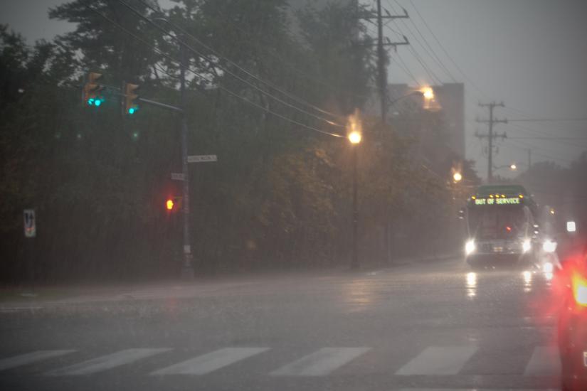
Thanks to today’s heavy rain, and the resulting flooding in Alexandria, Fairfax County and the City of Falls Church, tonight’s commute can only be described as nightmarish.

Southbound I-395, westbound I-66 and westbound Columbia Pike are all still slow through Arlington, as of 7:00 tonight. Meanwhile, WTOP just reported that the Capital Beltway has been closed at Cameron Run in Alexandria, due to flooding across the roadway.

Due to the continued threat of flooding, local residents are being encouraged to stay off the roads if at all possible.


View More Stories