A portion of N. Quincy Street is slated for a makeover this summer with new pavement and a bike lane.

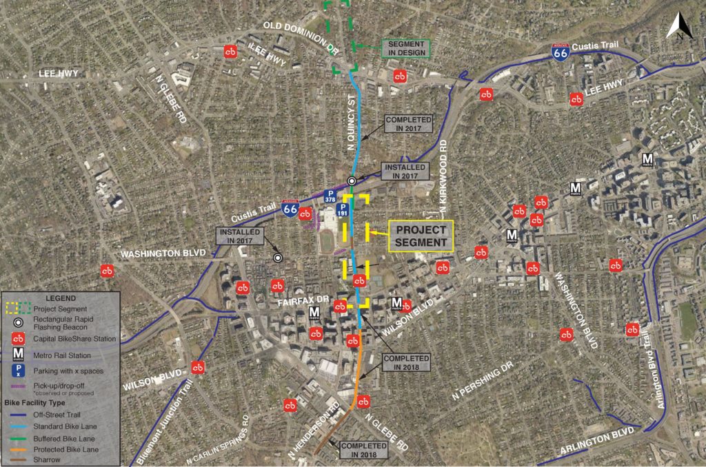
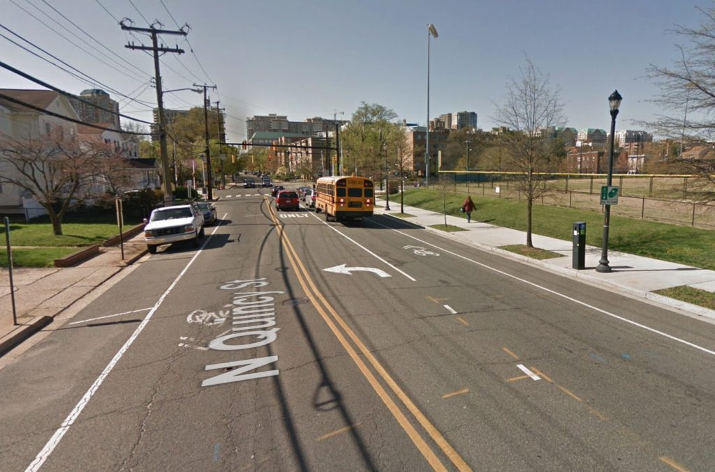
Officials aim to repave the stretch of N. Quincy Street between the I-66 overpass and Fairfax Drive, near Washington-Liberty High School, and potentially approve one of three designs for a new bike lane that could eliminate parking spaces.

Arlington’s Department of Environmental Services polled residents about the three bike lane designs in a recent survey. The department will host an open house about the project on Tuesday, July 9, from 6-7:30 p.m., at Washington-Liberty (1301 N. Stafford Street).

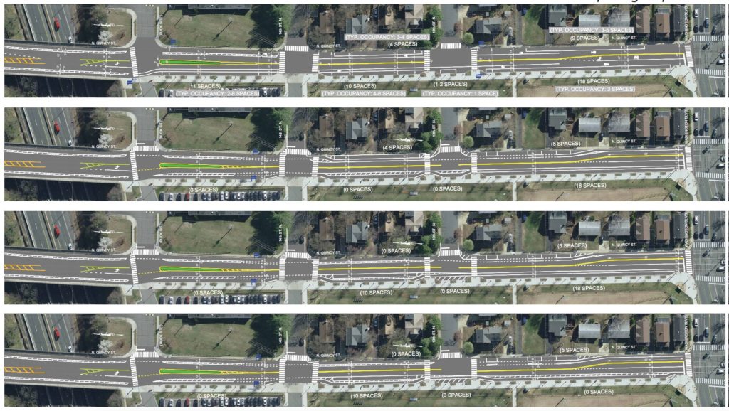
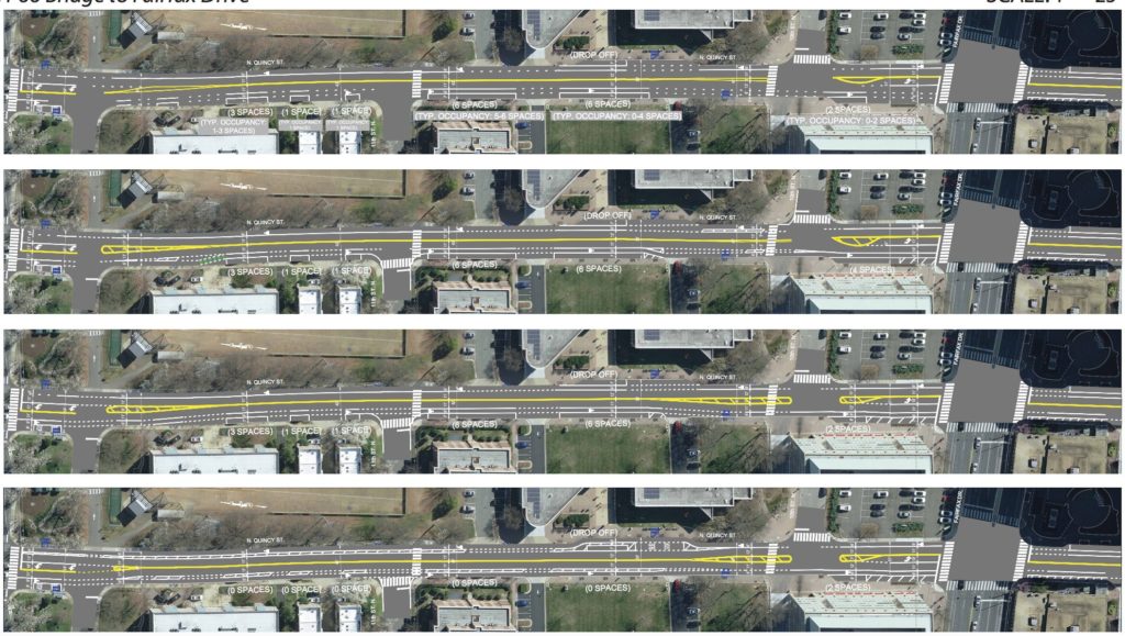
The three bike lane configurations the department is considering are:

  • Concept A: A buffered bike lane along both sides of N. Quincy Street in the northern section close to I-66. Adding the lane would eliminate 22 parking spaces along Quincy near the Buck site entrance where several single family homes sit.
  • Concept B: A buffered bike lane that runs in the middle of N. Quincy Street, which removes only 10 parking spaces in the northern section close to I-66.
  • Concept C: A buffered bike lane along the entire street, which would remove 42 parking spaces on the northern section of the street and 31 spaces on the south section.

“It’s almost like a mix and match,” DES Project Planner Christine Sherman told ARLnow. “Concept A shows parking on a block [of N. Quincy Street], concept B shows parking on a different block. Concept C shows the highest level of bike protection.”

All three concepts also add a crosswalk at the intersection of Quincy and 11th Street N. and at the entrance of the Buck property.

Sherman said DES will weigh the survey responses against engineering recommendations about safety and hopes to start the paving work later this summer.

DES tweeted about the (now closed) project survey last week, along with a reference to presidential candidate and meme-machine Marianne Williamson.

The  recently-updated bike element portion of the county’s master transportation plan proposes N. Quincy Street become part of a north-south bike corridor.

The bike element proposes several miles of bike lanes “wherever feasible” on N. Quincy Street to provide safer passage through Ballston and Virginia Square, and to connect the Arlington Forest and Chain Bridge areas.

“We have buffered and expanded bike lanes to the north of this segment and have protected bike lanes to the south,” said Sherman. “It’s an opportunity we see to create the north-south connection in the county.”

The work is also part of a larger streetscape project along Quincy Street, with repaving already completed in the sections between the I-66 overpass and Lee Highway, and between George Mason Drive and Fairfax Drive.

In August, the county finished a new bike lane on N. Quincy Street connecting the Quincy corridor to the Custis Trail. Two months before that, the county also converted parking on 5th Road N. between Quincy and N. Pollard Street to back-in, angle style parking.

Image 1, 3-5 via Arlington County, image 2 via Google Maps


Updated at 2:35 p.m. — “The roadway remains closed through the evening commute due to water main repairs,” per an Arlington Alert. “Expect delays and seek alternate routes.”

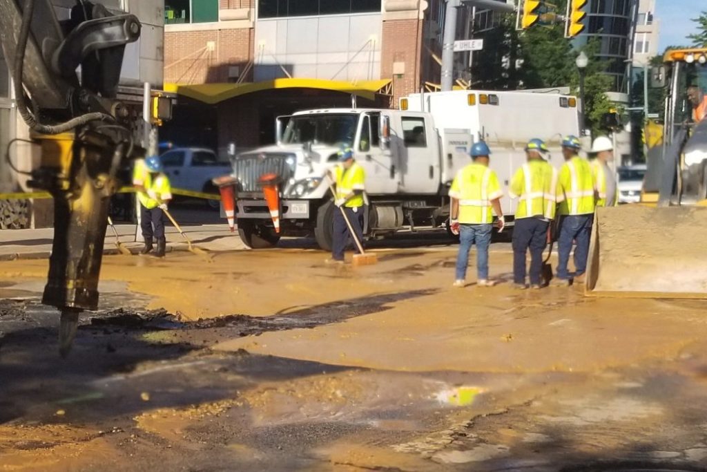
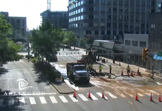
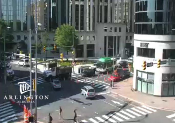
Earlier: An early morning water main break has prompted a major road closure in Courthouse.

Officials say a 12-inch water main burst under Clarendon Blvd, near the Courthouse Metro station, and repairs are expected to last into the afternoon.

Clarendon Blvd is currently detoured between N. Veitch Street and Courthouse Road.


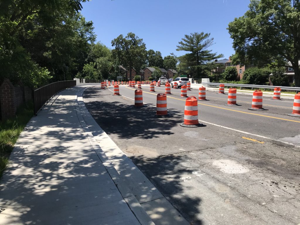
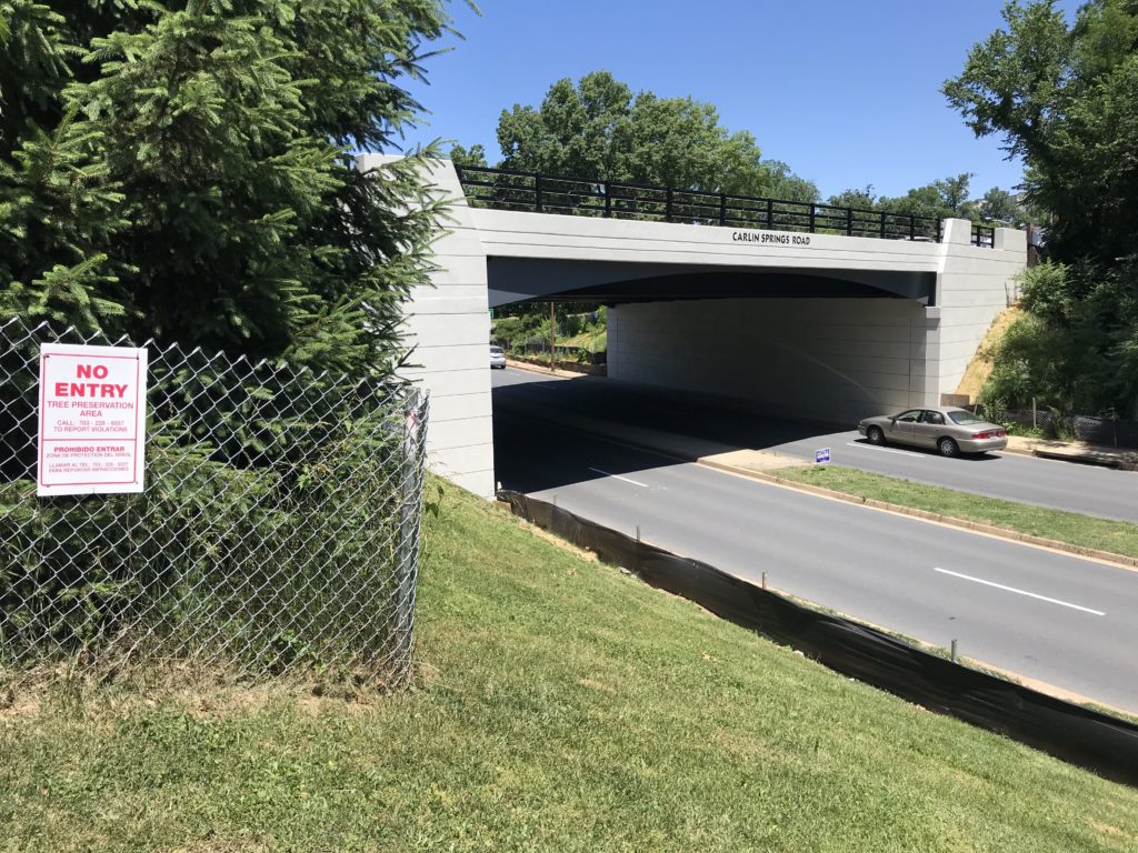
A new Carlin Springs Road bridge over George Mason Drive has been built and county crews are now preparing for some finishing touches.

Construction started in 2017 and most of the work was completed earlier this year. To the consternation of nearby residents, the paving and restriping work has yet to start — the county told residents it was waiting for the right weather conditions — but that’s about to change.

“Remaining work items include installing new street lights for the bridge and the George Mason Drive interchange and landscaping,” Arlington Dept. of Environmental Services spokesman Eric Balliet tells ARLnow. “Crews are scheduled to be on site next week to install the street light conduits.”

“Final paving and marking of the roadway is anticipated to take place by early July, barring any complications and weather permitting,” Balliet continued. “At that time, the permanent traffic pattern will be established and all cones and barrels will be removed.”

Numerous residents have emailed ARLnow with complaints about the project not yet being completed, even though it appears to be on-time based on an Oct. 2017 presentation. One explained that the current traffic pattern has resulted in delays for drivers.

“It’s the left turn on Carlin heading towards Ballston onto George Mason,” a local resident said via email. “It’s causing illegal u-turns so drivers can access George Mason northbound.”

Balliet said the lane striping, when it’s complete, will provide a turn lane for drivers heading from Carlin Springs to George Mason.


Arlington County is turning trash into treasure by growing thousands of pounds of fresh produce for a local food bank using compost from residents.

Last February, Arlington’s Solid Waste Bureau began a pilot program to create compost from residents’ food scraps. Now some of that compost is coming full circle and being used in some of the local gardens that supply fresh produce for Arlington Food Assistance Center (AFAC).

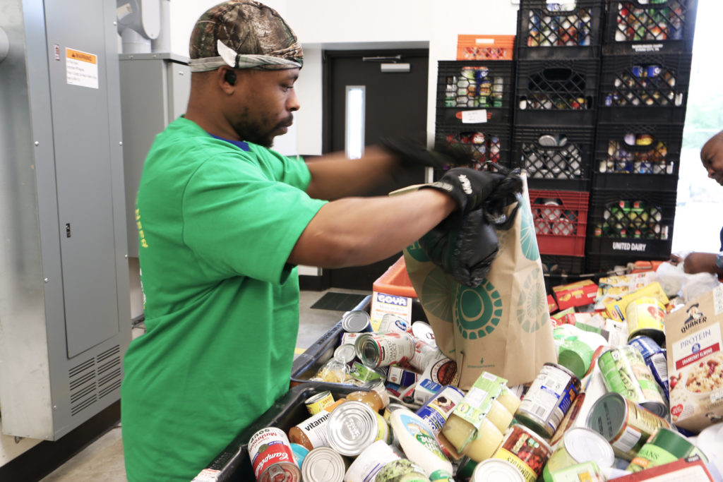
AFAC is a nonprofit that receives around a million and a half pounds of food donations annually. The goods comes from several sources: grocery stores, private food drives, farmers markets and farms, and gardens around the region, according to spokesman Jeremiah Huston. Part of that comes from its “Plot Against Hunger” program, which cultivates the fresh produce.

AFAC staffer Puwen Lee manages this program, which she helped grow back in 2007 after noticing the food bank distributed frozen vegetables even in the summer months.

“And I thought, ‘This is really strange because I got so many vegetables in my garden,'” she said. After mentioning it to the nonprofit’s leadership, Lee said the director dropped off 600 packs of seeds on her desk and left it up to her.

Since then, Lee, who grew up gardening in Michigan, estimates the program has received over 600,000 pounds of fresh produce and has grown to include gardens from the Arlington Central Library, schools, and senior centers — and now it’s experimenting with using waste from residents themselves.

Trading trash for treasure

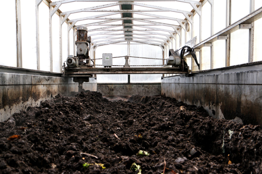
The Solid Waste Bureau collects food waste in two green barrels behind a rosebush by its headquarters in the Trades Center in Shirlington. The waste is then dumped into a 10-foot-high, 31-foot-long earth flow composting stem that cooks the materials under a glass roof and generates 33 cubic yards of compost in about two weeks.

When Solid Waste Bureau Chief Erik Grabowsky opens the doors to the machine, the heady smell of wine wafts out, revealing a giant auger slowly whirring through the blackened bed, turning the composting food.

Grabowsky said the final mix is cut with wood chips — something not always ideal for most vegetable gardens. But Grabowksy says it’s an “evolving” mixture that the department will tweak over time and which he plans to test in the department’s own garden next to the machine.

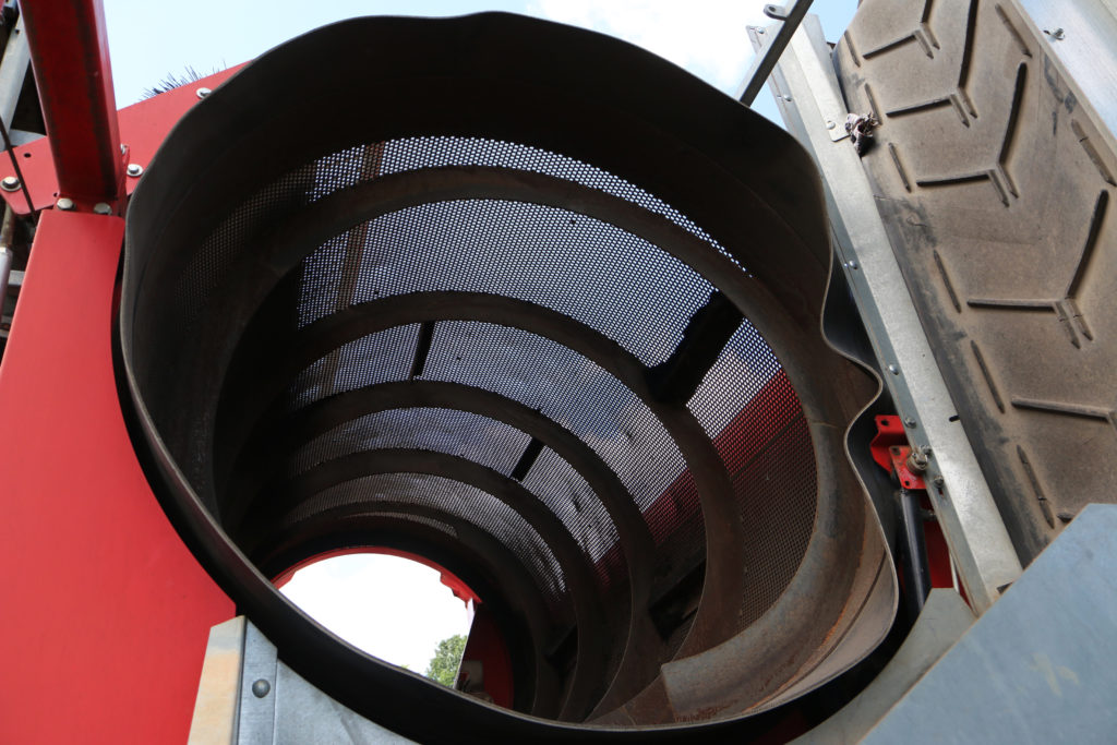
After the wood chips, the mix is shifted through a hulking “trammel screen” and distributed to AFAC and the Department of Parks and Recreation.

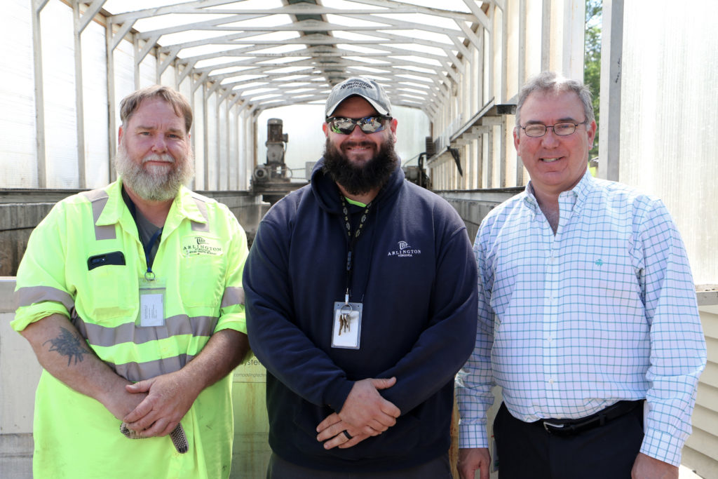
On a recent weekday, workers Travis Haddock and Lee Carrig were busy in Bobcats shuffling dirt off the paved plaza Grabowksy says will host the department’s first open house next Saturday, June 8 to show how the recycling system works. Normally, they manage repairs to the auger and the flow of compost in and out of the machine.

(When asked what their favorite part of the job was, they joked it was when the auger “stops in the middle and you got to climb in there.”)

The department’s free June event, called “Rock-and-Recycle,” will run from 9 a.m. to 3 p.m. at the department’s lot in the Trades Center and will feature music and food trucks. Attendees will also be able to check out the compost for themselves, as well as the nearby Rock Crusher and Tub Grinder.

From farm to food bank

AFAC is currently experimenting with using the compost for one of its gardens. The nonprofit also makes its own mix using plant scraps and weeds pulled up from the beds.

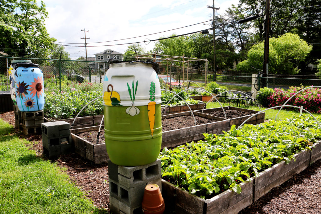
Near AFAC’s Shirlington headquarters, volunteers run a garden that donates all its yield to the food bank. Boy Scouts originally built the raised beds that now make up 550 square feet of gardening space, and grow lettuce, beets, spinach, green beans, kale, tomatoes, and radishes, on a plot near a water pump station along S. Walter Reed Drive.

Plot Against Hunger manager Lee said the space was originally planned as a “nomadic garden” in 2013, but thanks to the neighboring Fort Barnard Community and the Department of Water and Sewer, it became a permanent fixture on Walter Reed Drive.

Certified Master Gardener Catherine Connor has managed the organic garden for the last three years. She says she’s helped set up the rain barrels and irrigation system that waters the beds in addition to supervising the planting. Now the beds are thick with greens and bumblebees hum between the flowers of the spinach plants that have gone to seed.

“Last year, we had just an incredible growing season,” Lee said. “From the farmers markets alone we picked up something like 90,000 pounds [of food.]”

(more…)


(Updated at 4:15 p.m.) A pair of apparently unrelated water issues have been plaguing the Cherrydale neighborhood over the past 24 hours.

Last night, Arlington’s Dept. of Environmental Services (DES) reported “low water pressure along 4000-4200 Lee Highway, which includes several apartment buildings.”

Tipsters tell ARLnow that water service was out until the early morning hours for residents and some businesses, possibly due to a mistake by the contractor working to replace a 90-year-old water main along nearby N. Taylor Street. Other tipsters reported that some local households had rust-colored water around the time of the outage.

DES spokeswoman Kathryn O’Brien tells ARLnow that crews worked overnight to fix the problem.

Yesterday, we had water pressure issues with a newly connected main that impacted a number of residents in the Cherrydale area. The contractor had completed 1 of 2 connections to a new 12-inch water main as part of planned work in the area. It was expected that the redundancy in the system from one connection would be adequate enough to maintain enough pressure and service to the area. The normal pressure in the area is about 80 psi and the one-way feed dropped the pressure to 50 psi. This error caused the unexpected drop in pressure. The contractor was called back in around 10 p.m. to expedite the second connection which was planned for Tuesday during the day. Water pressure was restored around 5 a.m.

This afternoon, meanwhile, crews responded to another nearby Cherrydale location, at the Five Points Intersection, for a report of a burst pipe.

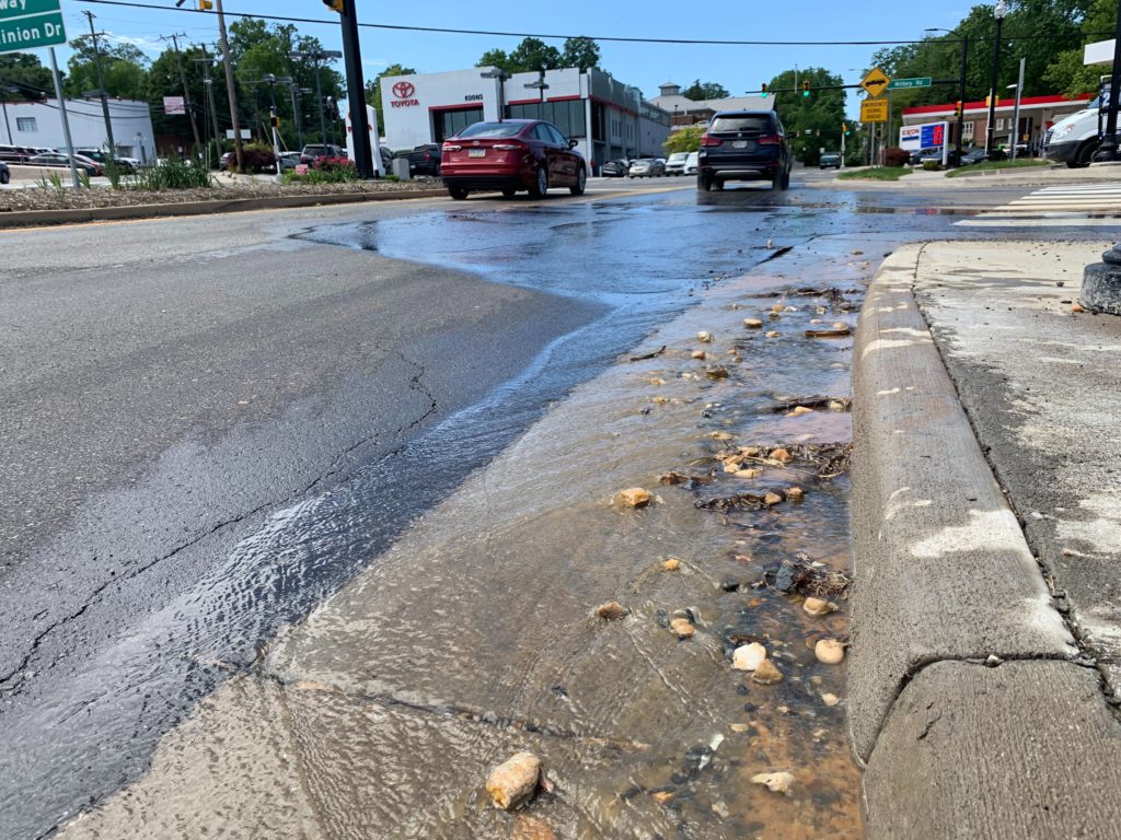
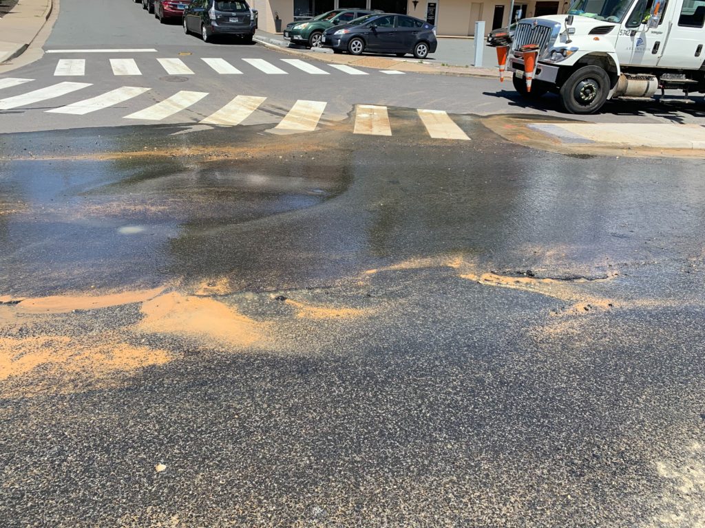
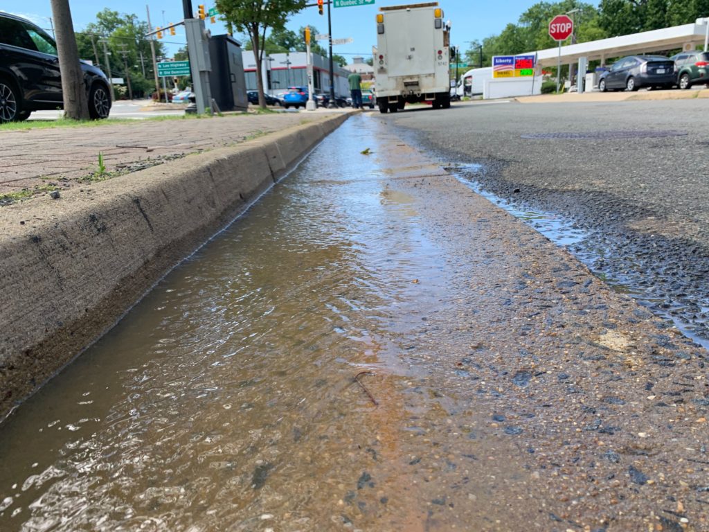
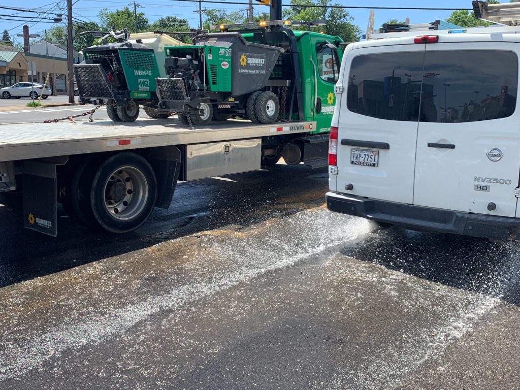
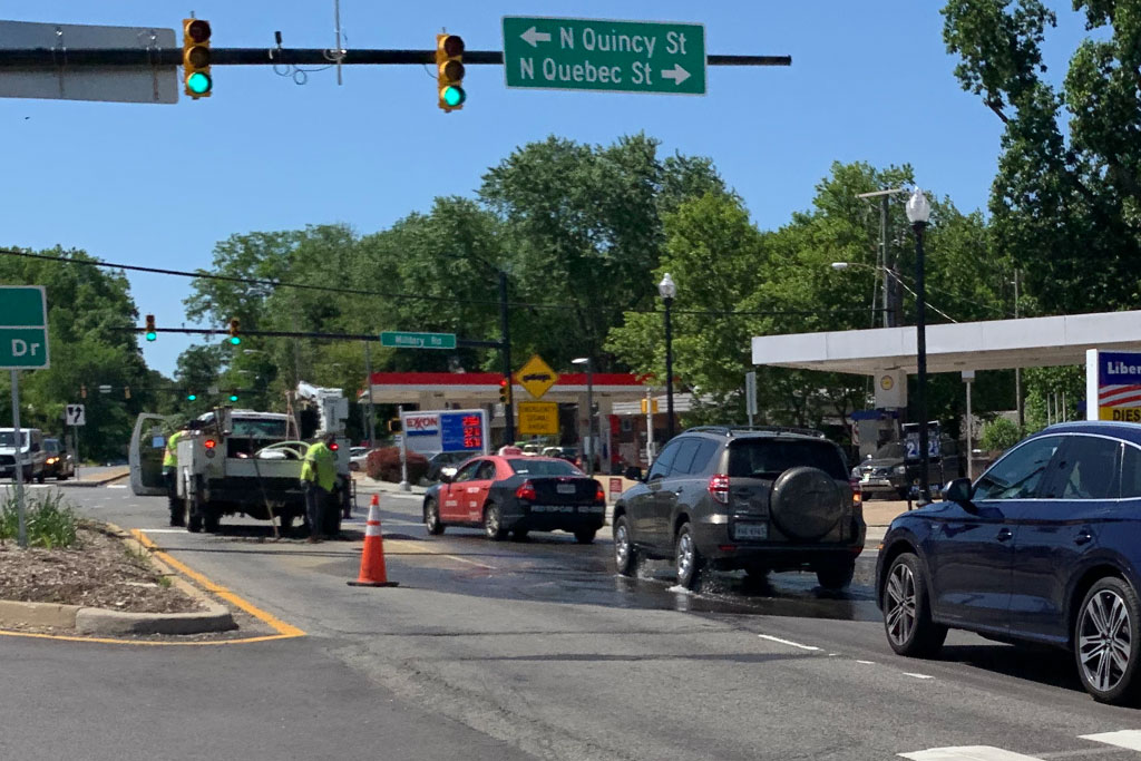
Water could be seen streaming from underneath the road, forming large puddles on the pavement and prompting a lane closure, but not a complete road closure.

“There is a confirmed valve leak near Lee Highway and N. Quebec Street,” O’Brien said. “This is unrelated to the water issues experience last night and in a different pressure zone. Crews are scheduled to begin the repairs 10 p.m. this evening. Approximately 50 customers may be impacted.”


The Arlington County Board voted to fund several transportation projects this weekend that officials had used to woo Amazon during the tech giant’s search for its second headquarters.

On Saturday, County Board members approved using $33,850,000 in state funds on the projects. The vote comes after Board members and state legislators pledged millions in transportation upgrades near Amazon’s HQ2 site as long as the company meets certain job creation and space occupancy benchmarks.

Per a staff report to the Board, the projects include:

  • $18,850,000 to expand the Crystal City-Potomac Yard Transitway to the Pentagon City, adding 1.1 miles of dedicated bus lanes. The state previously pledged $46.6 million for the project.
  • $10,000,000 for the Army-Navy Drive Complete Street project, which aims to redesign the roadway for easier bike and pedestrian access between the Pentagon, Pentagon City, and Crystal City.
  • $5,000,000 to help build an east entrance at Crystal City Metro station, a project the county has postponed before for lack of funds.

The Board’s vote authorizes the Department of Environmental Services to receive the $33,850,000 from the Northern Virginia Transportation Authority (NVTA) and apply it to the county’s fund for transportation capital projects. The matter was passed as part of the Board’s consent agenda for the Saturday meeting.

Metro stations and transit featured prominently on the maps that developer JBG Smith used to pitch Arlington on building its headquarters in the area. Officials are hoping an eastern Metro entrance could also better connect passengers using the Crystal City VRE station, which itself is set for upgrades.


A recently-released report recommends that Arlington County improve its delivery of real-time transit information.

The Department of Environmental Services’ Mobility Lab released a 245-page report calling for changes to the way the county shares real-time arrival information. Respondents to a survey said the information was valuable, but they wanted additional updates and more data.

“People are overwhelmingly turning to personal technology as a source of real-time information,” the report notes. “Google Maps, WMATA Trip Planner, and Twitter were all mentioned in the focus groups as useful websites.”

Researchers first convened 14 focus groups of up to 12 participants each to design the survey last July. Afterward, the survey was published online and 346 responses were collected between September and October.

A Virginia Department of Rail and Public Transportation grant funded the work.

The survey and the focus groups indicate that people in Arlington use information about the “cost, time, and convenience” of trips to choose which mode of travel to take.

Eighty-one percent of the people who responded to the survey said it was important that information be available in “real-time.” Seventy-three percent said having real-time information helped them “relax” when using public transportation.

Mobility Lab suggested several improvements to the county’s real-time systems based on the feedback, which Research Manager Dr. Lama Bou Mjahed summarized in a blog post:

  • Re-evaluate transit phone systems — go straight to the information avoiding lengthy automated messages
  • Implement highly customizable or on-demand text message updates avoiding texting “spam”
  • Modernize BusFinder — add features and information like routes and schedules
  • Continue providing real-time transit information through the county’s website and LED displays
  • Diversify the locations of dynamic message boards.

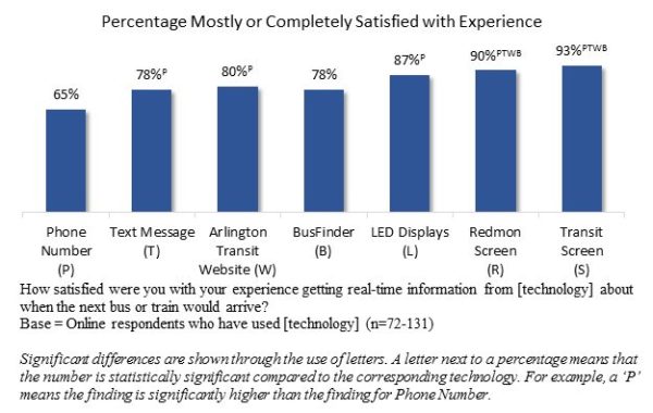
Currently, the county utilizes several real-time transit information systems: online and phone-based bus and rail predictions; the BusFinder at ART bus stops; and LED signs or LCD monitors at bus stops and rail stations.

But the Mobility Lab noted that, “there is limited research into how users perceive these technologies, how well it meets their needs, and how it affects their transit use.”

For example, a majority of survey respondents said that the phone system was “valuable,” but many said the service was “a hassle” and was used as “a last resort.”

Nine out of 10 respondents said the green “Bus Finder” boxes at bus stops were a good service, but some reported they were confusing to use or didn’t work.

“A recurring theme for all technologies stationed at the physical stop or station is that this information is provided too late in the travel process,” the study said. “By the time a rider has access to that information, they’ve already committed to taking that mode of transportation, and are essentially ‘stuck.'”

Users also reported some transit apps were confusing and offered too many options.

“The key takeaway was that respondents do not want yet another app on their phone that only provides a piece of the puzzle,” the Mobility Lab wrote. “Instead, they would like one single or centralized app that works to combine all available information in one place.”

Image via Mobility Lab


Arlington County has pledged to inspect the Madison Manor neighborhood’s sewers more often after sewage flooded homes last month for the third time since 2001.

“Typically, our maintenance program calls for inspections of our sewer pipes every four years; however, we have more aggressive schedules of 1, 3 and 6 months for known problem areas,” said Jessica Baxter, a spokeswoman for the Department of Environmental Services.

“Given the most recent blockage on April 7, 2019, Water Sewer Streets crews will now be monitoring, inspecting and cleaning this location on a six-month rotation,” Baxter added.

Sewage flooded five homes on N. Powhatan Street on April 7, which required crews to work through the night to address the underlying blockage, ARLnow previously reported.

“Three houses on the street were flooded with county sewage both in [2008] and in 2001,” wrote three Madison Manor residents in a letter to ARLnow this week. “On April 7, when the county sewage system failed us for a third time, five houses were affected.”

Tree roots blocking the sewer main caused the first two floods, Baxter said, with debris in the sewer main causing the most recent backup. The county lined the pipes in 2002 to protect from intruding tree roots, she said. It also added a second pipe segment downstream in 2008 to improve flow.

Each flood of raw sewage cost homeowners tens of thousands of dollars, according to copies of bills and insurance claims reviewed by ARLnow.

One neighborhood resident, Anne Riley, said her home was flooded all three times, with the latest flood costing $18,000. She wrote in an email that she is submitting a claim to her homeowners insurance but will have to foot her policy’s $2,000 deductible.

“Three times in 20 years is ridiculous,” Riley said. “We don’t even know all we lost.”

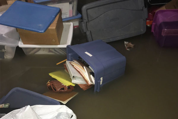
Another neighbor, Dave Oaks, said he couldn’t supply receipts for the flood damages to his home in 2001 and 2008 because they were stored in boxes in the basement — which were destroyed in last month’s flood.

Oaks noted the damages from this year’s flood will “run into the tens of thousands” and shared the costs he’s incurred so far:

  • Remove the filth, damaged furniture and contents, salvage and store remaining contents, de-water, dry and disinfect, remove the bottom 3 feet of drywall, all flooring, doors, and baseboards, haul off all the debris (initial estimate ~$8,500)
  • Rebuild walls, doors, baseboards, flooring, re-set bathroom fixtures, paint (initial estimate ~$11,500)
  • Replace washer, dryer, water heater (estimate ~$2,800)
  • Replace contents (no idea since we haven’t finished our inventory)
  • $500 insurance deductible

Neighbor Karen Lewis cited similar costs for the April flood. She told ARLnow that she spent $9,900 so far to inspect the furnace and remove her basement’s contaminated drywall, carpeting, downstairs shower, and hot water heater.

“Our homeowners insurance company estimates the rebuilding costs will be at least $16,000, before even beginning to replace our destroyed or contaminated furnishings and possessions,” she said.

(more…)


The groundwater level in Arlington is rising, officials say, which could cause more flooded homes and mosquito-filled backyards.

Arlington’s Dept. of Environmental Services says current groundwater levels are an average of 5 feet higher than they were during the past two years. Officials say one reason is last year’s 60-inch rainfall, which broke the 1889 record for the region’s rainiest year ever recorded.

“The potential for flooding, especially localized flooding, is affected with the ground being more saturated,” said DES’s Stormwater Outreach Specialist Lily Whitesell.

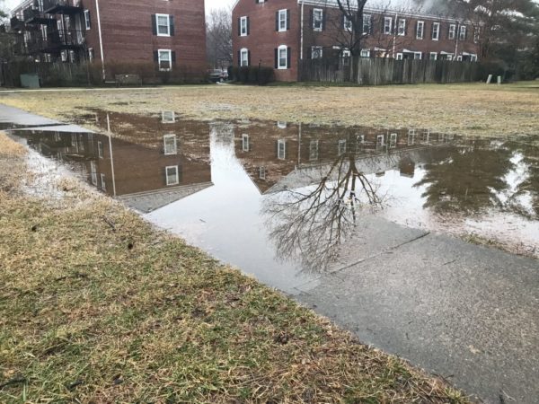
Whitesell explained that the “void” in soil which usually absorbs water is now filled with water. This mean water can’t be as easily absorbed and it’s more likely to cause runoff and flooding.

The likelihood of flooding will be highest when storms dump an inch or more of rain on the area, she said.

In addition to floods, Whitesell said residents can also expect:

  • Softer, muddier ground in general
  • More mosquitos as water “ponds” in backyards,
  • Algae potentially growing on sidewalks and in gutters
  • More sump pump discharge
  • Plants that prefer drier weather to suffer

“Water ponding next to your foundation is not something that you want for the long-term structural safety of a home,” said Whitesell. “And certainly if you have a basement nobody wants water getting in there.”

She clarified that rising groundwater levels do not affect floodplain boundaries, which are drawn based on severe, “100-year” floods. However, the DES website notes that county waterways can be hit hard by stormwater runoff which causes:

  • Erosion: The high volume of water erodes stream banks, compromising trails and trees along our stream valley parks.
  • Pollutants: Stormwater washes pollutants like nutrients (nitrogen and phosphorus), sediment, bacteria, petroleum, pet waste and trash into our streams, causing poor water quality.
  • Temperature: During the summer months, stormwater heats up as it flows over hot pavement, which then increases the temperature of the stream water by as much as 10 degrees Fahrenheit, causing stress or death to aquatic organisms.

Rising groundwater levels can also affect the underground vaults that protect controls for utilities like electricity, gas and telephone lines, Whitesell said. When these gather moisture or flood it can pose a risk to equipment and workers as NIOSH has reported.

“Some vaults are very shallow and so may not be affected,” said Whitesell. “But some are deep enough to be affected.”

When asked, Whitesell said the swell of rainstorms could be a symptom of climate change: “One of the effects we expect with global warming and climate change is that wet areas get wetter and dry areas get drier.”

In Arlington, Whitesell said the number of applications to the county’s Stormwater Wise Program that helps homeowners reduce stormwater run-off has doubled over the last year.

“We’re all hoping for a drier year,” she said.

In the meantime, DES recommends residents flood-proof their homes as much as possible and check whether they’re eligible for flood insurance. But in case all else fails the department suggests residents take the following precautions:

  • Know how to shut off the electricity and gas to your house, in the event of flooding.
  • Make a list of emergency numbers and identify a safe place to go.
  • Make a household inventory of belongings, especially the contents in the basement.
  • Keep important documents and medicine in a water proof container in a safe place.
  • Gather supplies in case you have to leave immediately, or if services are cut off — medications, pet supplies, batteries.
  • If your home needs a sump pump, get a battery backup in case the power goes out. Check on the pump regularly, especially if it’s more than eight years old.
  • Read more tips for Preparing for Storms.

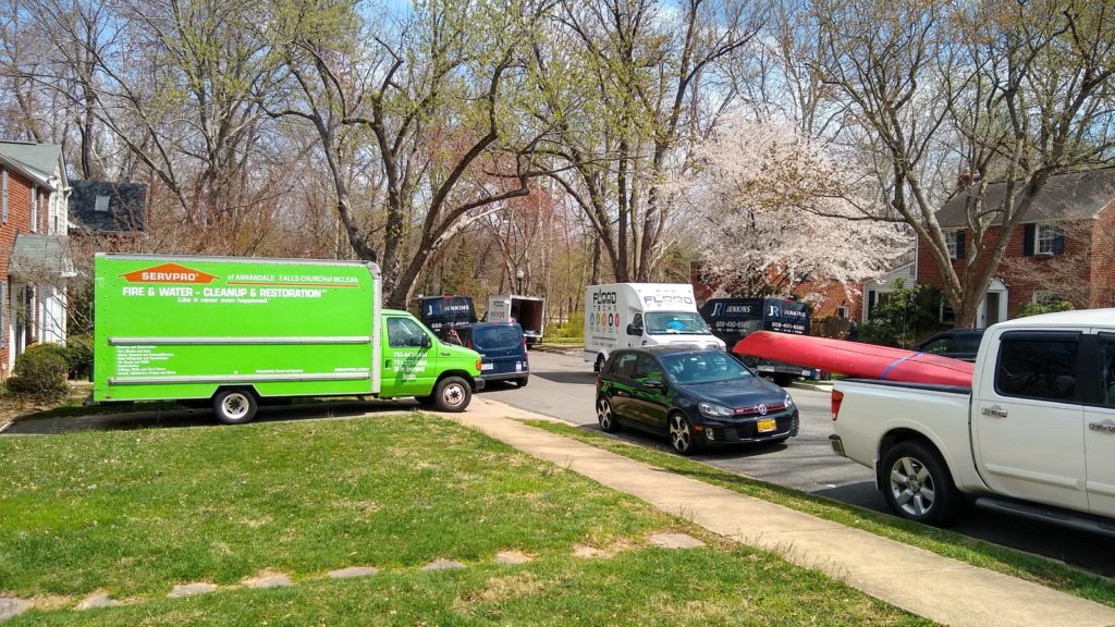
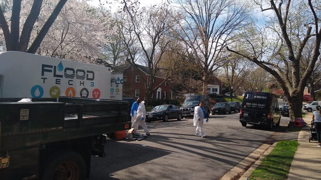
(Updated at 2:45 p.m.) Sewage flooded a number of houses on N. Powhatan Street earlier this week, but officials say they’ve addressed contamination worries for a nearby public park.

Five homes in the Madison Manor neighborhood were flooded early Monday morning after a sewer main clogged, and it took crews all night to clear the line, per a statement from the Department of Environmental Services (DES). Officials said they don’t yet know what caused the blockage.

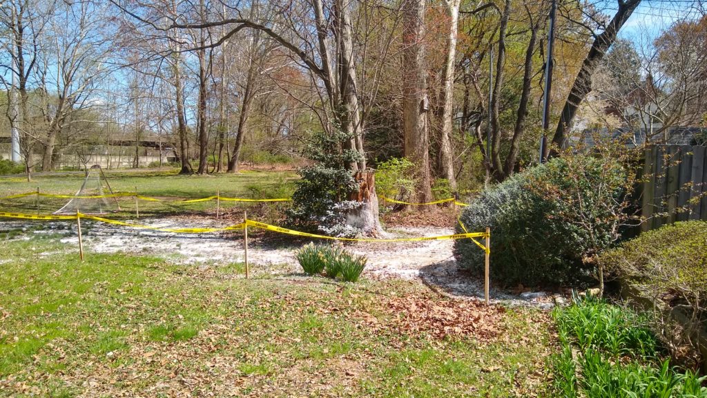
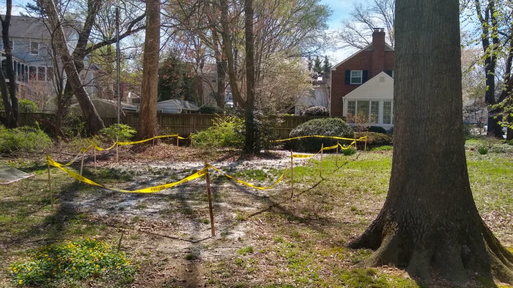
Neighbor Steve Starr told ARLnow he worried about nearby Madison Manor Park being contaminated, but those concerns were addressed by county crews.

A DES spokeswoman confirmed there was sewage discharge “adjacent to the park” from a house’s sump pump but that the sewage had “mostly infiltrated to the ground,” and that crews had applied disinfectant to the area. There was no impact to nearby trails, which connect to the W&OD Trail, the spokeswoman said.

Starr noted that crews were dispatched quickly to start the cleanup process inside the homes.

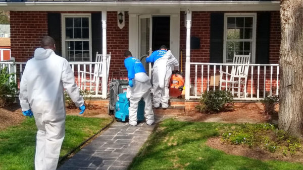
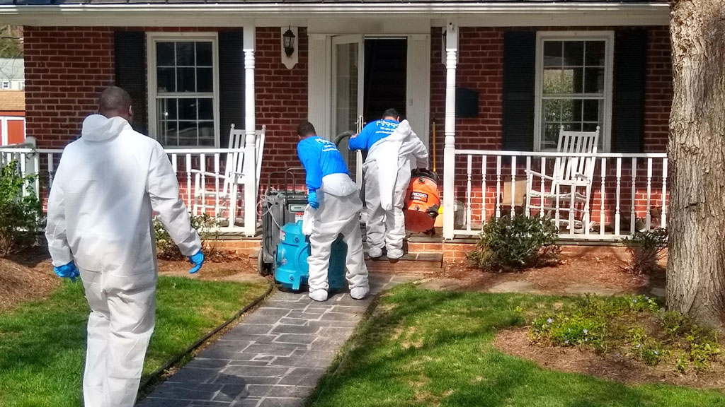
“Residents of N. Powhatan woke up to men in moon suits entering their houses to clean sewage,” he said.

The full statement from DES is below.

There was a sewage backup that was reported last night, impacting approximately five homes in the 1200 block of North Powhatan Street. Crews worked overnight to flush the line and were able to break through the blockage around 1 a.m. The flow in the main quickly returned to normal and houses started to see relief around the same time as well. The line has been cleaned and inspected and is now back in service. We will continue to monitor it and investigate the potential issue for the blockage.

If customers continue to experience issues, please contact the Water Control Center at 703-228-6555.

Photo via Steve Starr


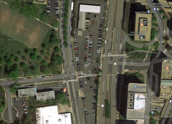
The civic association for Aurora Highlands and Crystal City are requesting the county officials take action on traffic caused by the Uber and Lyft waiting area along S. Eads Street.

The area, sometimes called the “TNC lot,” comprises two parking lots located at 2799 S. Eads St. where Uber and Lyft drivers must park while queuing for passengers at Reagan Airport.

The associations say there have been persistent traffic problems caused by the lot, and discussions about solutions have “stalled.”

The neighborhood groups wrote a letter to Arlington Department of Environmental Services (DES) Director of Transportation Dennis Leach this week citing ongoing congestion woes caused by “7,800 additional vehicles per day” on Eads Street northbound.

That’s despite the county opening an entrance to and exit from the lot along Route 1, to ease traffic near the residential neighborhoods along Eads.

Aurora Highlands Civic Association President Scott Miles told ARLnow that as of last night (Thursday at 5 p.m.) the associations have not received a response from county officials.

Miles and Crystal City Civic Association President Carol Fuller signed the letter, which proposed two solutions for DES and the Metropolitan Washington Airports Authority:

  1. Allow ride-hailing drivers to enter, but not exit, the lot via Eads Street.
  2. Turn the lot into airport employee parking and make Uber and Lyft drivers wait at a new lot on airport property instead.

Today, Uber’s guide for drivers picking up at DCA features a section how vehicles should queue in the waiting area, noting that, “When exiting the lot, left turns only are permitted in an effort to reduce traffic congestion along S. Eads St.”

Before picking the Eads space for the lot, the Airport Authority had set up a temporary parking space a block northward at Crystal Drive and 26th Street S. which also caused traffic headaches.

Image via Google Maps


View More Stories