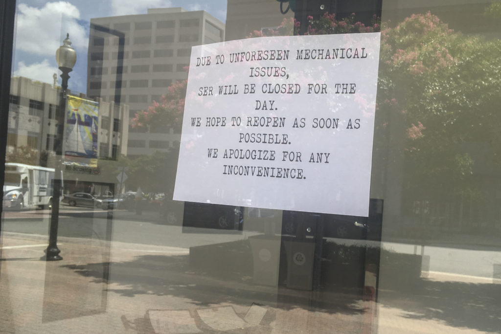
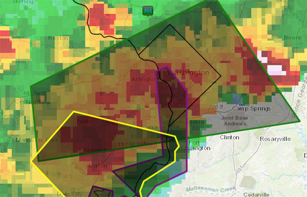
Prepare for more rain, and more flooding, the National Weather Service warns.
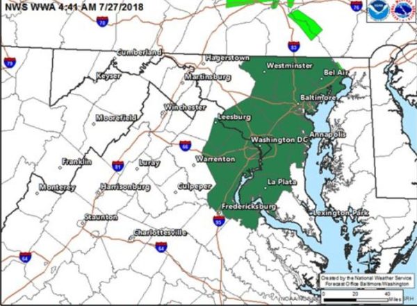
The NWS has issued a severe thunderstorm watch through 10 p.m. tonight, with a flash flood watch as well from 3 p.m. to 11 p.m. due to the excessive amounts of rain the region’s seen recently.
Showers and thunderstorms are expected this afternoon and evening as a cold front approaches the area. Both severe weather and flash flooding will be possible in association with these storms. For additional details visit https://t.co/o2JIHfMyKQ pic.twitter.com/JRDudNNHFT
— NWS DC/Baltimore (@NWS_BaltWash) July 27, 2018
Full details from the NWS:
…FLASH FLOOD WATCH REMAINS IN EFFECT FROM 3 PM EDT THIS
AFTERNOON THROUGH THIS EVENING…The Flash Flood Watch continues for
* Portions of Maryland, The District of Columbia, and Virginia,
including the following areas, in Maryland, Anne Arundel,
Carroll, Central and Southeast Howard, Central and Southeast
Montgomery, Charles, Northern Baltimore, Northwest Harford,
Northwest Howard, Northwest Montgomery, Prince Georges,
Southeast Harford, and Southern Baltimore. The District of
Columbia. In Virginia, Arlington/Falls Church/Alexandria,
Eastern Loudoun, Fairfax, King George, Prince
William/Manassas/Manassas Park, and Stafford.* From 3 PM EDT this afternoon through 11 PM EDT this evening.
* Showers and thunderstorms are expected to develop late this
afternoon and evening, with heavy rainfall rates likely. Given
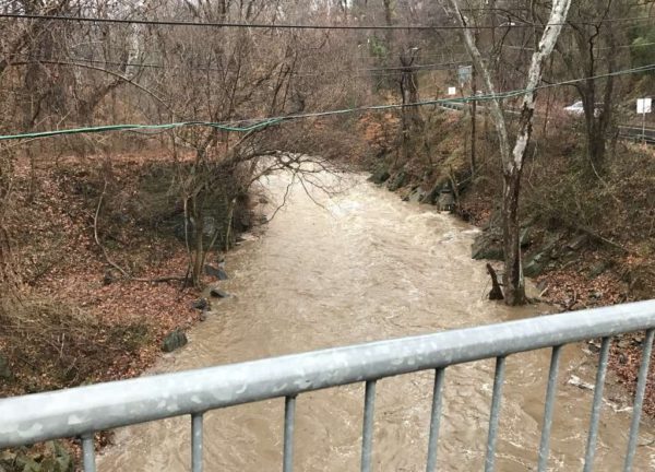
saturated soil from this week`s excessive rainfall, any
additional heavy rain or repetitive thunderstorms may result in
rapid rises of water in streams and low lying areas.PRECAUTIONARY/PREPAREDNESS ACTIONS…
A Flash Flood Watch means that conditions may develop that lead
to flash flooding. Flash flooding is a very dangerous situation.You should monitor later forecasts and be prepared to take action
should Flash Flood Warnings be issued.
Photo via @NWS_BaltWash


