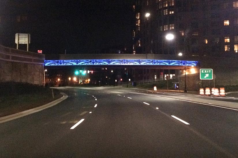
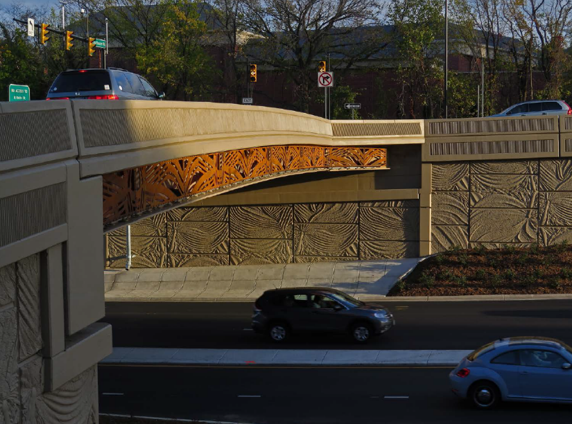
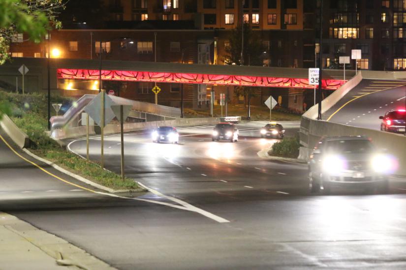
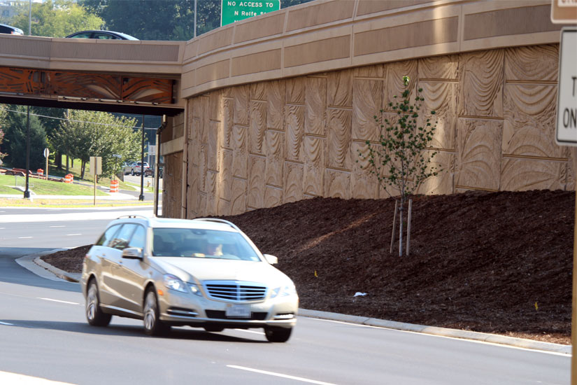
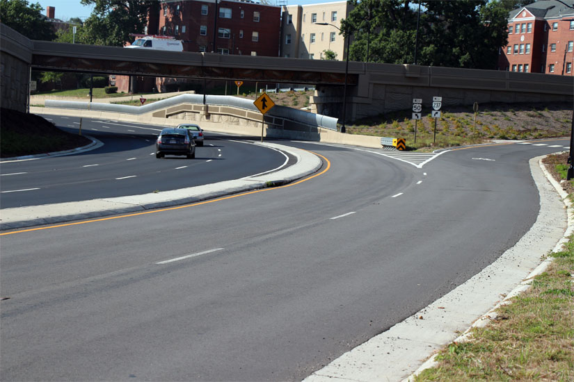
Two recently completed bridges along Route 50 — at 10th Street N. and N. Courthouse Road — now look more colorful, thanks to a public art installation. But if you want to catch a glimpse of the art in its full glory, you’ll have to wait until it’s dark.

Arlington Cultural Affairs partnered with VDOT on both the custom-designed concrete panels on the sides of the road and metal grillwork on the overpasses. Both were the work of artist Vicki Scuri, who also designed an LED light show that backlights the grillwork at night.

The light display is programmed as a 15 minute loop that fades and gradually transitions between sets of colors. The show contains intentional sequences and transitions with a “range of non-highway colors” that suggest stained glass, Scuri said. The new light programming went live Friday night.

“The lighting, the pattern elements and the landscape are site specific responses to inform place, creating a signature landmark promoting wayfinding for the Arlington entries at Courthouse Street [sic] and 10th Street,” said Scuri, adding that she designed the art installations to reflect Arlington’s “classical architecture.” She said wanted to make a clear entry to Arlington that complemented the county’s lively, refined streetscapes.

Scuri was in Arlington last week to collaborate with the VDOT contract lighting designer and Arlington’s Department of Transportation to balance the artist’s creative vision with practicality and safety for those areas. They worked on the color and intensity of the lighting, among other things.

“This is a collective effort to provide both beauty and safety. I think we’ve done it,” said Scuri. “The entire project is a response to the site, to the native landscape and to the classical ornamentation of Arlington and that of Washington, D.C.”


The Rosslyn intersection where cyclists and pedestrians face drivers exiting I-66 has received safety modifications in the past two weeks and more changes are on the way, county officials said on a tour of the site Tuesday morning.

In advance of a $5 million overhaul slated to be complete in summer 2016, Arlington County and the Virginia Department of Transportation changed the timing of the traffic lights and walk signals at Lee Highway and N. Lynn Street last week, said Larry Marcus, the county’s head of transportation engineering.

“Pedestrians and cyclists are the priority at this location, period,” Marcus said as county officials and police watched people navigate the corner some locals call the “Intersection of Doom.”

One change is minor in cost but should be significant in impact: A no-turn-on-red sign is being installed at N. Lynn Street for those exiting I-66. That’s being done “as soon as possible,” Marcus said.

Additionally, cyclists and pedestrians crossing N. Lynn Street using the Custis Trail previously had a walk signal when all traffic lights were red — known as a “leading interval” — for just 2 seconds; the length of that signal was increased last week to 5 seconds, Marcus said. The county plans to increase the leading interval time to 15 to 20 seconds in the next six months, once new signal technology is installed.

“We’re giving more time for pedestrians and bikes to go first,” Marcus said, adding that new caution signs for drivers, pedestrians and cyclists will be added to the intersection.

Drivers headed west on Lee Highway, meanwhile, now have an additional 10 seconds of biker- and pedestrian-free time to clear the intersection.

To pair with engineering changes, the Arlington County Police Department has ramped up traffic enforcement and educational efforts at the corner where numerous car-on-bike accidents have occurred, Capt. James Wasem said.

“People can expect to see uniformed police officers out here flagging cars over, directing traffic, handing out some brochures and citing violations,” he said about the measures enacted about two weeks ago.

Police issued 228 citations at the intersection from Sept. 15, 2013 through the same date this year: 133 for failure to obey traffic signals, 32 for improper turning and 1 for failure to yield to a pedestrian. Fifteen car crashes occurred at the intersection within that period, police said; just two crashes on record involved pedestrians.

The ACPD assigns an officer to direct traffic at the intersection on weekdays from 7:00 to 9:00 a.m. but must spread officers between that corner, schools and other frequent crash sites. The department began sending an officer to the location “as often as possible” following recommendations from a traffic analyst the county hired this year, Wasem said.

ACPD is seeking funding to assign two officers to Lee Highway and N. Lynn Street every weekday morning, plus an additional two officers at Lynn Street and Wilson Boulevard, Wasem said. The latter intersection has been facing a chronic problem of drivers “blocking the box” during rush hour since construction began on the Central Place project, blocking lanes of Lynn Street.

The additional staffing would cost $180,000 through next year.

(more…)


All of the ramps, lanes and bridges for the interchanges of Route 50, N. Courthouse Road and 10th Street N. are open and finished.

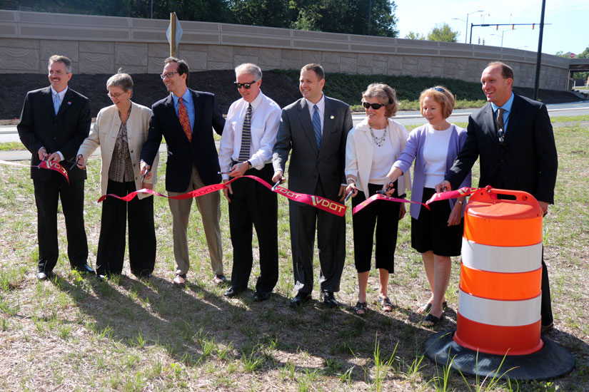
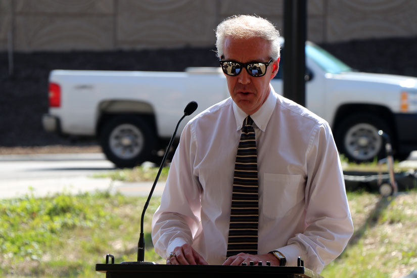
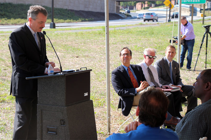
Arlington County Board Chair Jay Fisette, Del. Patrick Hope and local and state transportation officials were on hand to cut the ribbon on the $39 million project that has been more than a decade in the making.

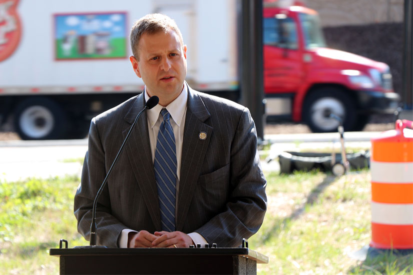
“My first County Board meeting in January 1998, in the first Board packet, the design of this interchange was in that packet,” Fisette said. “Really good things take time and partnerships. Hopefully we will continue to get these types of outcomes.”

The new interchange includes two new bridges at Courthouse Road and 10th Street, each with LED-lit metal grillwork displays, although the LED lights aren’t ready to be turned on yet. It includes a left-exit from eastbound Route 50 onto N. Courthouse Road, and turning lanes from westbound Route 50 that are separated from the three lanes of fast-moving traffic.

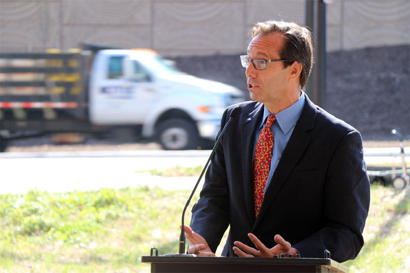
“Everyone who drives on Arlington Blvd every single day is going to have a much better experience,” Hope said.

In addition to the new traffic patterns and LED lights, the sides of the new highway have custom-designed concrete panels. The grillwork and panels were both designed by artist Vicki Scuri. The LED lights and landscaping along the highway are the only two components of the project that are not yet finished.

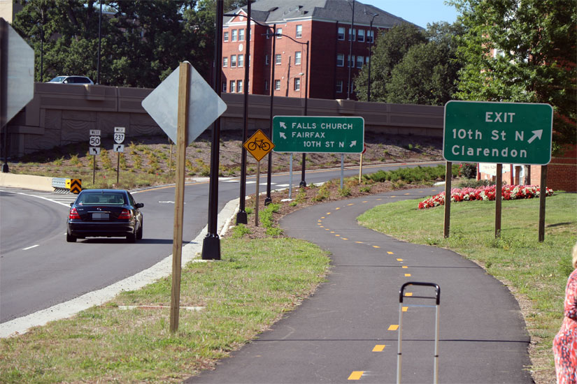
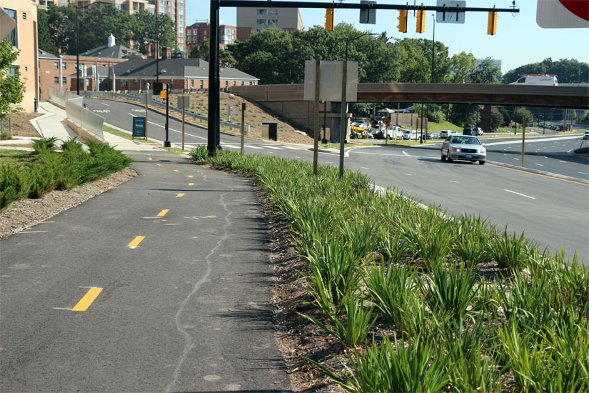
The project also included new bicycle and pedestrian paths along either side of the highway, with striping for two-way travel, between N. Pershing Drive and Courthouse Road on the westbound side, and Pershing and N. Rolfe Street on the eastbound side.

“This project represents the values we hold in Arlington. it’s about safety, it’s about travel choices,” Arlington Director of Transportation Dennis Leach said. “What an incredible difference this is if you are walking or biking.”


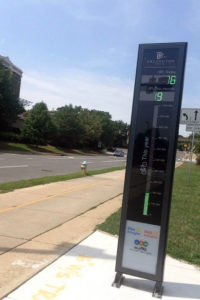
Arlington's "Bikeometer" in RosslynThe bicycle counter on the Custis Trail in Rosslyn passed 200,000 trips earlier this month, a milestone for the first device of its kind on the East Coast.

As of last night, the counter was up to 204,899 trips since it was unveiled on April 1. There were 706 trips recorded today at 12:43 this afternoon, and 24,907 trips this month. The “Bikeometer” has been getting good reviews from the community, according to county Department of Environmental Services spokeswoman Shannon Whalen McDaniel.

“Many people have said that previously they had no idea how many other cyclists bike through Rosslyn,” she said. “County staff did not have a precise understanding of how many bicyclists were using the Custis Trail through the Rosslyn Circle area. With the installation of the Bikeometer counter and display we now know a lot more about the number of bicycle travelers on an average day, and how that number changes over the course of the year and by the day of the week. We’re also learning more about how factors such as weather can impact bicycle travel.”

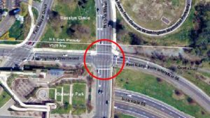
The data should help the county as it designs safety improvements to the “Intersection of Doom” — where the trail, N. Lynn Street and the I-66 offramp combine in one of the most accident-prone intersections in the county, especially for cyclists and pedestrians. The improvements are in the design and engineering phase after being approved by the Arlington County Board in May, and construction is expected to begin next spring.

“Knowing the number of bicyclists and at what times they cross through the intersection is useful information in evaluating traffic signal timing at the nearby Lee Highway intersections,” McDaniel said. “We are currently evaluating if and how signal changes could be made to reduce bicycle and vehicle conflicts that occur at the trail crossing of Lee Highway and N. Lynn Street. Staff will also conduct a study of the feasibility of constructing an underpass or bypass of the Custis Trail at the Rosslyn Circle location.”


Intersection of Doom(Updated at 10:25 a.m.) A week after another cyclist was hit at the intersection of Lee Highway, N. Lynn Street at the Custis Trail, the Arlington County Board approved adding $75,000 to a contract to engineer improvements to the intersection.

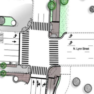
The planned improvements to the area, which includes the trail’s intersection with Fort Myer Drive, include removing a travel lane from Lee Highway and extending the curb at the intersection’s corners. It also calls for upgraded traffic signals, on-street bike lanes, signs and landscape areas and a “Corridor of Light” public art feature.

The most troublesome part of the intersection. where numerous car-on-bike accidents have occurred, has been where two lanes of traffic from I-66 turn right on N. Lynn Street toward the Key Bridge. That traffic comes in conflict with pedestrians and cyclists on the trail, who get the green light at about the same time.

The improvements are designed to give cyclists less time in traffic as a result of the extended curbs, as well as greater visibility and a safer “queueing” area. In addition, the start of the Custis Trail would be widened to allow for greater cyclist and pedestrian flow.

The Board voted yesterday to amend its contract with Toole Design Group, which is designing the updates to the intersection, to include additional design of underground features and water main relocation. The project is expected to be 90 percent complete with design by this summer with construction beginning next spring and completing by summer 2016.

Once the project reaches 90 percent design, Arlington Department of Environmental Services says it will schedule a public meeting to present the intersection’s final design to the community.

Intersection of Lee Highway and Lynn StreetAccording to DES, the design of the improvements were funded by a federal grant, and the construction is being paid for by the JBG Companies, which is developing the Central Place office and residential skyscrapers two blocks away. If approved, the contract amendment will bring the total cost of the design to almost $1.2 million. The construction is currently estimated to cost $5 million.

The intersection was cited as needing a redesign in the Realize Rosslyn public outreach process, and some have suggested a pedestrian tunnel or flyover. According to DES, there are no other plans for improvements to this intersection, but the construction doesn’t preclude any changes in the future.

“There’s been a lot of attention at ways we can improve this intersection,” County Board Chair Jay Fisette said at yesterday’s meeting. “The Realize Rosslyn process is underway, and we did [talk about] incorporating some focus into potentially systemic changes to the intersection.”

In addition to the trail improvements, Arlington announced yesterday it purchased a plot of land adjacent to the intersection, at 1101 Lee Highway, to preserve green and recreational space for the area. The land might also some day be used for a realignment of the bike trail, to improve safety.

The county paid $2.4 million to a private landowner and is considering constructing an “ancillary boathouse” to pair with a proposed boathouse along the Potomac River that the National Parks Service is considering.

“Over the years, community members have voiced strong support for a boathouse in the County along the Potomac River,” the county wrote in its press release, “to create public access, establish a home for high school rowing programs and to offer educational opportunities related to life along the Potomac.”


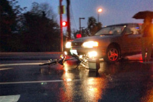
Bike crash in Rosslyn (photo courtesy Lindsey Kelley)(Updated at 4:20 p.m.) Rosslyn’s “Intersection of Doom” lived up to its name for a local cyclist Monday night. She says she was hit by a car in the crosswalk and then ticketed while in her hospital room.

Lindsey Kelley was cycling home from work at 8:00 p.m. and said she entered the crosswalk at Lee Highway and N. Lynn Street on a “go” signal, when she was struck by a four-door sedan coming off I-66 and turning right toward the Key Bridge.

By her account, the collision was the driver’s fault.

At the Virginia Hospital Center, however, Kelley was visited by the responding U.S. Park Police officer and issued a ticket for “disregarding traffic signs or road markings,” which may cost her $70, not including U.S. District Court fees. According to the police report, obtained by ARLnow.com, the officer said Kelley was not in the crosswalk. Kelley said the picture she took at the scene (above) was taken without her moving the bike from where it came to rest after the crash.

Kelley was diagnosed with a sprained wrist, some sprained fingers and a mild concussion. She said the officer didn’t take her statement at the scene, and instead relied on the word of the driver and a witness who she said “berated” her as soon as she was struck.

“It was a guy in a Black SUV with Maryland plates,” Kelley told ARLnow.com. “He stopped and got out and basically was very rude and said ‘you don’t deserve to be riding your bike here.’ He gave [the police] a different story than what happened. I never spoke to the officer again until he issued me a citation at the hospital. He took my ID, but he never asked me what happened or where I was coming from.”

Kelley also said that since the lane she was crossing was a turning lane, the officer “told me I should have seen it coming.” He had already written the ticket by the time he entered her hospital room.

Kelley lives near the Park Georgetown apartments and said she had just biked across the Key Bridge and was getting on the Custis Trail, coming home from her job at a nonprofit in the District. She said she just started the job, and has only biked there a few times since she started cycling recreationally more than a year ago.

“I guess it sucks because I got hit next to the new bike counter, but despite my boyfriend’s protests, I will probably still bike in the future,” she said. “I really like it, it’s fun, it’s way faster than the Metro.”

The intersection of Lee Highway and N. Lynn Street has been the scene of numerous car-on-bike accidents, in large part because it puts which puts vehicle traffic from I-66 and heavy pedestrian traffic from the Mt. Vernon and Custis trails in conflict during the same green light cycle.

Advocates have been calling for changes to the intersection — perhaps even a pedestrian bridge or tunnel — for years. So far there are no definitive plans for significant safety improvement at the intersection.

Photo courtesy Lindsey Kelley


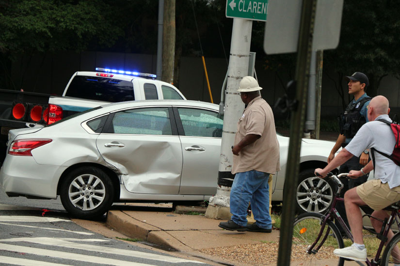
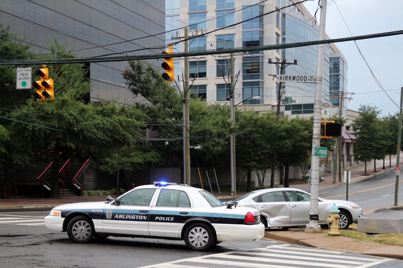
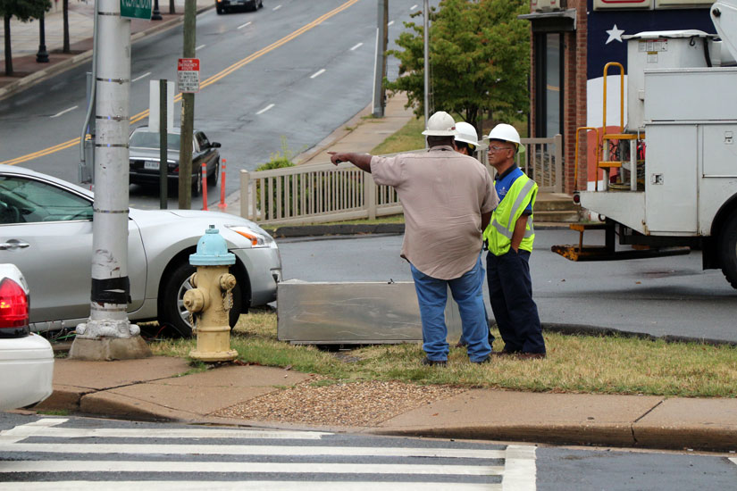
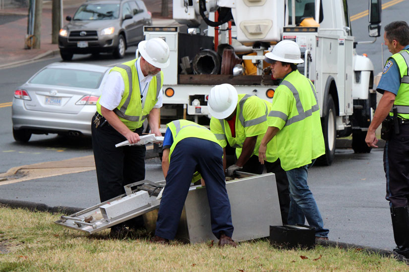
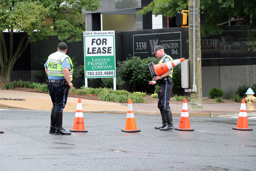
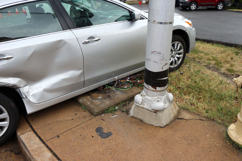
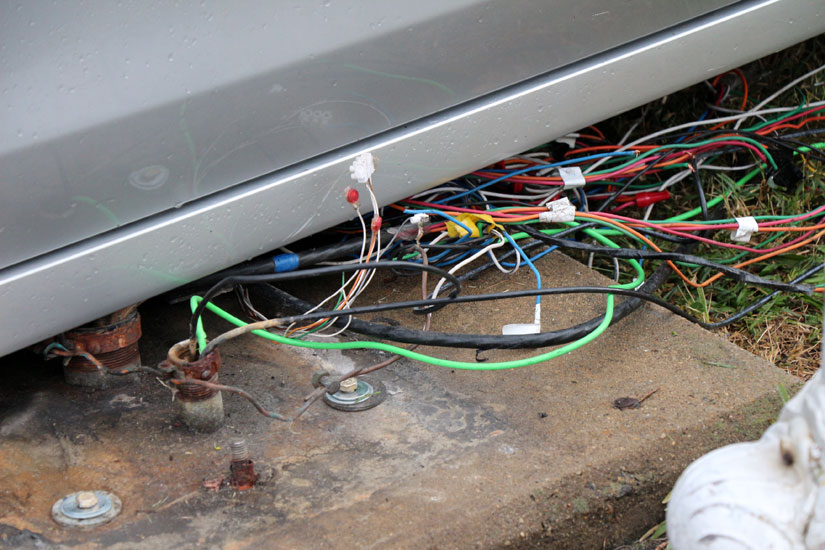
A two-vehicle collision has destroyed the traffic control box at the intersection of Washington Blvd and N. Kirkwood Road, near Clarendon, cutting off power to the intersection’s traffic signal.

The t-bone crash happened at about 10:45 a.m. The driver of one car was transported to the hospital with minor injuries, a police officer at the scene said. A passenger in that vehicle and the driver of the other car involved were relatively unharmed.

As a result of the traffic signal outage, Arlington County police have set up cones in the intersection, diverting all southbound Kirkwood Road traffic to a right turn on Washington Blvd and preventing left turns in either direction on Washington Blvd.

Arlington County workers, after inspecting the damage to the power box, said it would take “all day, maybe until tomorrow” to repair. We’re told that they hope to restore at least some functionality in time for rush hour, perhaps finishing repairs on Tuesday.


Signs at the intersection of 12th Street, Crystal Drive and Long Bridge DriveArlington County officials say they’ve fixed some confusing signage at the at the intersection of 12th Street and Long Bridge Drive.

Last week, a tipster told ARLnow.com that signs for eastbound traffic on 12th Street (pictured) indicated there two through lanes, when in fact there’s only one available lane on the other side of the intersection. This caused confusion for drivers, which could lead to accidents,  the tipster said.

(The road and intersection was recently re-striped and reconfigured as part of the Crystal Drive two-way project, which converted Crystal Drive from a one-way to two-way road between 12th and 15th Streets.)

Arlington County spokeswoman Jennifer Heilman said this morning that the signs have been fixed.

“The signs in question at the intersection were corrected yesterday evening,” Heilman said. “They shouldn’t have been uncovered until the new signal at the intersection is turned on by Dominion Virginia Power.”

A Dominion rep told ARLnow.com that a new transformer is scheduled to be installed as part of the project on Saturday. Meters and power could be switched on as soon as Monday, Aug. 19.


Five-way intersection in Cherrydale (via Google Maps)Cherrydale residents are at odds with Arlington County over changes to the neighborhood’s busiest and most confusing intersection.

As the county continues to move forward with its Cherrydale Lee Highway Revitalization Program, the Cherrydale Citizens Association (CCA) is voicing strong disapproval with changes to traffic patterns at the “Five Points Intersection.”

The Cherrydale Lee Highway Revitalization Program is part of the county’s overall plan to foster a safer, more aesthetically-pleasing, and pedestrian-friendly Arlington. In its efforts to enhance the Five Points Intersection — where westbound Lee Highway splits into Old Dominion Drive and Old Lee Highway as it crosses N. Quincy Street and Military Road — the county has made a number of changes which Cherrydale residents say have made the intersection worse.

The CCA formed a Five Points Intersection Committee (FPIC) in the fall of 2011 and, according to CCA President Maureen Ross, the committee has been unanimous in their opposition to the proposed changes.

Five-way intersection in Cherrydale“Citizens who had never met each other all voiced the same conclusions when we met with Betty [Diggs, Arlington County Representative] and those conclusions were that every change we’ve made in the past two years have made the travel problems worse,” said in a PowerPoint presentation posted online in September 2012.

County engineers added a nub at the corner where Lee Highway intersects North Quincy Street. Though it was intended to help pedestrians, the FPIC alleges that it has resulted in restricting right-turn traffic from N. Quincy Street onto Lee Highway.

Additionally, the creation of a left-turn-only lane on northbound Quincy Street  has forced cars into a single restricted right lane causing motorists to cut across 20th Street N. and into residential neighborhoods to avoid the bottleneck.

“They have narrowed how far you have to cross which makes it a better pedestrian experience but it’s still a miserable vehicular experience and it forces cars down pedestrian streets which isn’t good for anyone,” said Ross.

(more…)


Construction at Glebe Road and N. Fairfax DriveWork has begun in Ballston on one of the three Glebe Road intersections slated to receive safety upgrades this year.

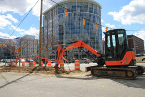
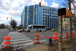
Last week, workers began construction on the intersection of Glebe Road and N. Fairfax Drive. The improvements are part of a pedestrian safety improvement project along Glebe Road that will spread to the Wilson Blvd and Carlin Springs Road intersections later this year.

The upgrades include installing new traffic signals, pedestrian crossing signals, street lights and trees. The intersections will also be reconfigured to improve safety. For example, the pedestrian “pork chop island” will be removed in front of Marymount University’s “Blue Goose” building, according to Tom Hutchings, Capital Project Manager with Arlington’s Department of Enviromental Services Division of Transportation.

“It tightens up the crossing distances at each intersection,” he said.

The red light camera that monitors northbound Glebe Road traffic at Fairfax Drive will remain in use during construction. Although the timing of the traffic lights will not change immediately, it will be evaluated later and tweaked as necessary.

“The timing is continually analyzed with every project we do,” Hutchings said. “It will be studied upon completion of the new lane geometry to optimize the intersection.”

Construction at Glebe Road and N. Fairfax DriveThe new traffic lights that were strung over the intersection last week are temporary; the permanent lights will be mounted on upgraded poles with mast arms. The previous poles were based on standards from the 1970s and did not meet the electronic wiring and mast arm standards in the current codes.

The improvements at the three intersections are part of a $2.5 million VDOT project that is locally administered by Arlington County. About 80 percent of the funding comes from federal and state sources, and about 20 percent comes from the county.

Although a number of pedestrian-vehicle accidents have occurred along this stretch of Glebe Road in recent years, such as the deadly cab accident last July, the intersections have been the subject of extensive studies since 2000.

“It is precipitated from acknowledgement of the high level of pedestrian activity in the area,” Hutchings said. “It’s to improve pedestrian and bicyclist safety along Glebe Road where a lot of development has occurred over the past 10 years, and pedestrian use of Glebe Road has increased.”

According to Hutchings, the addition of a bike lane for eastbound cyclists on Fairfax Drive occurred during an earlier phase of this project, as did the installation of traffic lights last year at N. 9th Street and N. Vermont Street.

Work on the Fairfax Drive intersection is expected to be finished by mid-June. The Wilson Blvd. intersection should be completed in August, and Carlin Springs in October.


County Board Candidates Debate — The three candidates for Arlington County Board — two incumbent Democrats and one Green Party challenger — answered questions at the Civic Federation candidates forum last night. The Democrats, Mary Hynes and Walter Tejada, spoke generally about the advantages of living in Arlington, while challenger Audrey Clement sharply criticized the County Board as being “in bed with developers.” [Sun Gazette]

Unopposed Candidate Roundup — Six Democrats who are running unopposed for local offices also spoke at last night’s candidates forum. [Sun Gazette]

7-Eleven Move Causes Disruptions — Who knew that one 7-Eleven store (out of 24 in Arlington) can have such a significant impact on a community? After a store in the Williamsburg Shopping Center moved closer to the East Falls Church Metro, daily routines were disrupted and other businesses in the shopping center withered. “7-11 may have a fine national strategy, but it sends ripples around localities, affecting livelihoods as well as routines beyond mere convenience,” writes columnist Charlie Clark. Luckily, the store is now moving back to Williamsburg. [Falls Church News-Press]

Redesign Suggestion for Dangerous Rosslyn Intersection — Greater Greater Washington proposes a possible way to enhance pedestrian safety at the dangerous intersection of Lynn Street and Lee Highway, while also (possibly) improving traffic flow. [Greater Greater Washington]


View More Stories