Parents of Thomas Jefferson Middle School students are petitioning for traffic calming measures on a stretch of road near the school where they report witnessing a number of vehicle-pedestrian close calls.

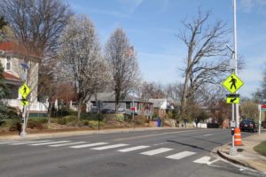
They’re asking for a crossing guard and a traffic-calming measure — such as a four-way stop — at the intersection of 2nd Street S. and Irving Street, which is a heavily traveled pedestrian thoroughfare for students going to and from school.

The entire stretch of 2nd Street S. near Thomas Jefferson Middle School, from Irving Street to Old Glebe Road, is well-traveled by vehicles and does not have four-way stops. Parents chose to ask for traffic calming at the Irving intersection because of the significant amount of both pedestrian and vehicle traffic at that particular spot. Plus it’s one of the few streets in the neighborhood that runs uninterrupted all the way from Columbia Pike to Washington Blvd., making it easier for motorists to speed than on adjacent streets.

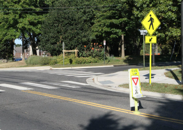
The intersection, like the others on 2nd Street, may not have four-way stops, but it does have painted pedestrian crosswalks. Neighborhood residents say motorists ignore people in the crosswalks, though, especially during morning and afternoon rush hours. “That’s prime commuter time and prime school time,” said TJ parent Alisa Key.

Key saw a girl nearly get hit while walking in the crosswalk to school, and that prompted her to take action. “I couldn’t walk away from that without doing anything,” she said. “In the past two weeks, we have had multiple near misses and countless instances of motorists… disregarding kids in the crosswalk. We have taken it upon ourselves to help the kids cross safely because APS and the county have not.”

The group of concerned parents invited county officials to visit the site to see the dangers that students and other pedestrians face. The group reports that a number of representatives showed up from Arlington Public Schools, the county’s Department of Environmental Services, the police department and the county board.

DES currently is collaborating with APS and police on reviewing the intersection and will report the results of the study next week. According to a DES spokesperson, “The traffic study consists of collecting additional traffic volume, speed and pedestrian volume data to determine whether a four-way stop meets federal standards (Manual on Uniform Traffic Control Devices).”

Parents are hopeful that the results next week indicate the need for increased safety measures, including a crossing guard. In the meantime, they’ve been taking turns positioning themselves at the crosswalk in the morning to make sure children get to school safely. They’ve also started an online petition requesting traffic calming measures, which has more than 400 signatures.

Parents are particularly worried about what happens when the volume of students increases upon completion of a new elementary school at the TJ site.

“The intersection at S. Irving & S. 2nd Street is a magnet for kids, bikers, walkers, etc. because there are currently three community attractions at this site — TJ Park, TJ Recreation Center, TJ Middle School and soon to be coming Fleet Elementary School,” said concerned parent and Arlington Heights resident Colleen Godbout. “This intersection needs calming measures immediately.  We can not wait for the accident that is inevitable here.”


Starting in October, a construction project will close the Van Buren Bridge near the East Falls Church Metro until next spring.

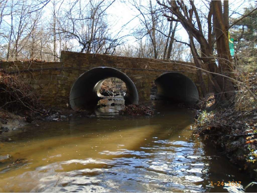
The bridge expansion and replacement project is scheduled to begin the week of October 16, and all bridge access will end at that time. In a letter to residents, the City of Falls Church indicated that construction is expected to continue at least through March 2018.

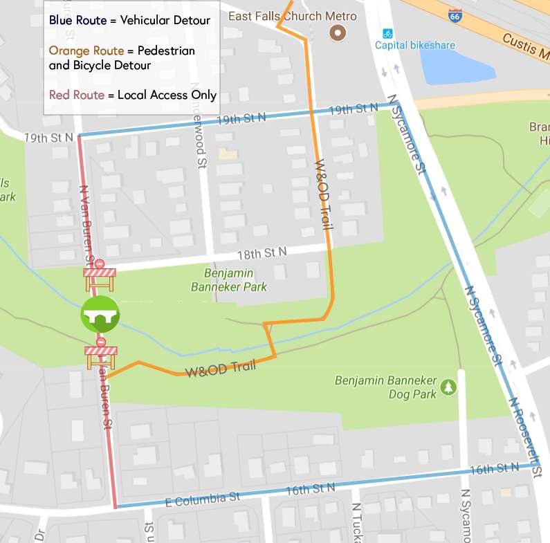
During construction, Van Buren Street will be closed between 19th Street North in Arlington and East Columbia Street in Falls Church. Northbound vehicles will be rerouted from Columbia Street to Roosevelt Street and 19th Street North. Southbound vehicles will be rerouted from 19th Street North to Sycamore Street and 16th Street North. Cyclists and pedestrians will detour on an existing bridge along the W&OD trail in Benjamin Banneker Park.

Construction is expected to take place most weekdays from 7:00 a.m. to 5:00 p.m., and some weekend work may also be necessary. Residents in the affected area will still have access to their driveways and homes when the closure is in effect.

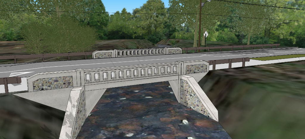
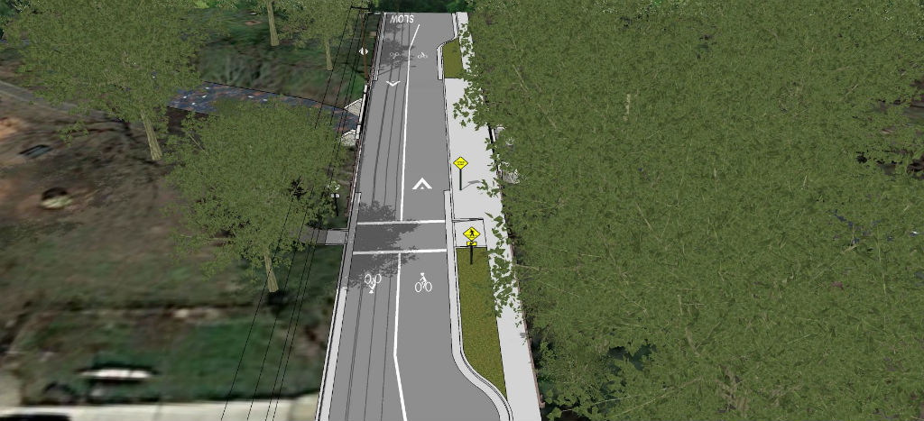
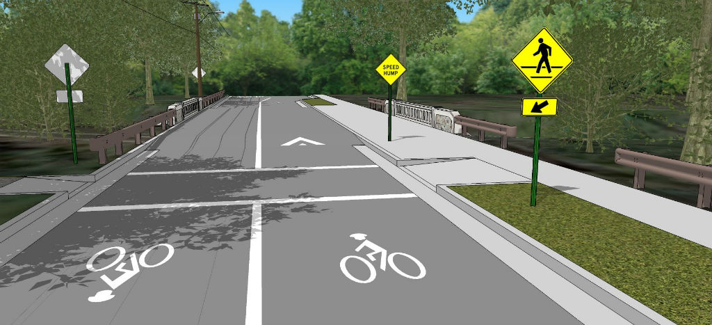
The project to remove and rebuild the existing Van Buren Bridge will repair structural deficiencies and add pedestrian access along the corridor to the East Falls Church Metro. The new bridge will have two lanes for vehicle traffic and cyclists in addition to a 12-foot wide pedestrian walkway.


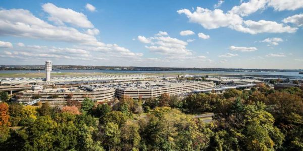
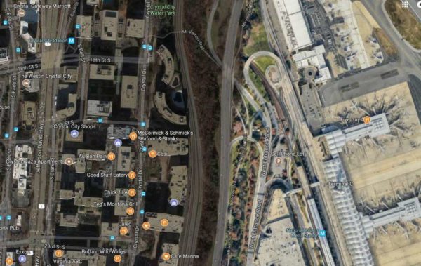
(Updated at 12:30 p.m.) A series of public meetings will be held next week to discuss a possible new pedestrian connection between Crystal City and Reagan National Airport.

The meetings are scheduled to take place Tuesday, September 5 on the 11th floor of 2011 Crystal Drive, from 11:30 a.m. to 1 p.m. and 6:30-8 p.m. Both meetings will have the same agenda, with staff from the Crystal City Business Improvement District looking to gather public feedback on the proposed pedestrian link.

RSVPs for either meeting are requested but not required.

“Imagine walking from Crystal City’s main street to the airport in just under 5 minutes,” the meetings’ event page says. “The CC2DCA Pedestrian Connection Feasibility Study that is investigating this possibility.”

Earlier this year, the BID issued a Request for Proposals asking for consultants to study a possible connection. The deadline for sending those proposals, which included the studying of optimal alignments, real estate, regulations, costs and necessary approvals, has since passed.

BID officials say a new pedestrian crossing would help leverage various transportation improvements in Crystal City, including the revamped VRE station and a proposed new Metro station entrance on Crystal Drive. Reagan National is also set for a $1 billion refresh, with construction there expected to conclude in 2021.

Anyone unable to attend in person can watch the presentation on Facebook Live at www.facebook.com/crystalcityva or send comments and feedback by email to [email protected].

Map via Google Maps


Arlington County Board vice chair Katie Cristol said the plan to make a stretch of a Rosslyn street pedestrian-only could attract more people to the neighborhood.

The county’s long-term plan for Rosslyn includes a multi-block, pedestrian-only stretch of 18th Street N. to replace the skywalk system that extends east to N. Arlington Ridge Road.

The Board laid the foundations for that plan last year when it approved adding pedestrian-only streets and low-speed “shared streets” for bicycles, pedestrians and other transit options to its transportation repertoire.

And in a conversation with WAMU’s Kojo Nnamdi this afternoon (Thursday) about a proposal to make a street in D.C.’s Adams Morgan neighborhood pedestrian only, Cristol said pedestrian-only streets could help Rosslyn draw more non-residents to the area.

“It would foster and facilitate the conversion of this urban core from an area that people travel through to an area that people travel to, and participate in commerce and can live and work and recreate and shop and patronize businesses in a safe and lively environment to do that,” Cristol said of the pedestrian-centric plan.

She added that such pedestrian-only streets are influenced by wanting to see a “European or pre-1920s U.S. vision of city uses other than vehicular.”

The plan has already had an impact on future development in that area. In July, the Board deferred a plan to reconfigure the nearby Rosslyn Metro Center shopping mall after staff found it would “hinder achievement” of the so-called 18th Street Corridor.

Cristol said that while it is important to think about making streets safer for pedestrians and bicyclists, the county is not looking to punish those who would prefer to drive.

“This conversation for us in Arlington is a little bit less about how do we restrict people’s ability to use their cars, and how do we expand travel options and safety for everyone using our streets,” she said.

Cristol said the county’s use of shared streets, which encourage more pedestrians, bicyclists and transit as well as cars traveling at lower speeds, is something it will continue to explore. Shared streets have features like different paving materials, larger sidewalks and improved crosswalks, and already exist in places like Penrose Square off Columbia Pike.

Almost every project approved in the county has elements of that in its streetscape, and Cristol said there are “definitely a lot of opportunities for this kind of shared street category” in areas like Courthouse. Sections of 14th and 15th Streets N. in the neighborhood are slated to become shared streets.


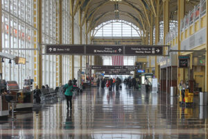
The Crystal City Business Improvement District announced today (Monday) it is looking to study the feasibility of a new pedestrian link between Crystal City and Reagan National Airport.

In collaboration with other stakeholders in the neighborhood, the BID issued a Request for Proposals asking for consultants to study a possible connection.

Respondents will need to study optimal alignments, private and public real estate considerations, regulatory requirements, costs and financing and implementation, including the necessary agency and stakeholder approvals that would be required. Proposals are due August 4.

“Crystal City is the area’s most accessible neighborhood – with Metro, [Virginia Railway Express], connections to every major area highway, bike paths and an airport you can literally walk to,” said Angela Fox, Crystal City BID president and CEO, in a statement. “A new pedestrian connection will bring the airport even closer, from a 15-minute walk to a four-minute walk and transform the area into a unique multimodal transportation hub serving as a major economic development catalyst for Crystal City, Arlington County and the Commonwealth.”

In their announcement of the RFP, BID officials said the new pedestrian crossing would help leverage various upcoming enhancements to Crystal City’s transportation infrastructure, including the revamped VRE station and a proposed new Metro station entrance on Crystal Drive. Reagan National is also set for a $1 billion refresh, with construction there expected to conclude in 2021.


County officials say the reduction of a westbound turn lane on Arlington Mill Drive near Shirlington is a pilot program and the backups it’s causing will be resolved by traffic signal adjustments.

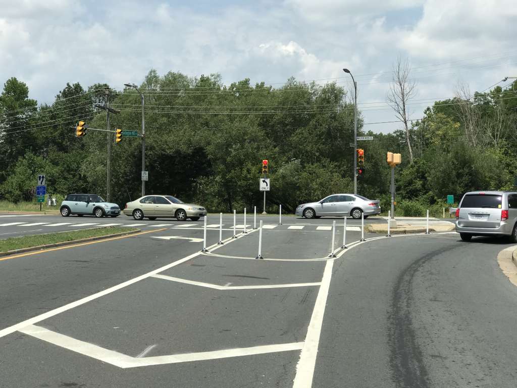
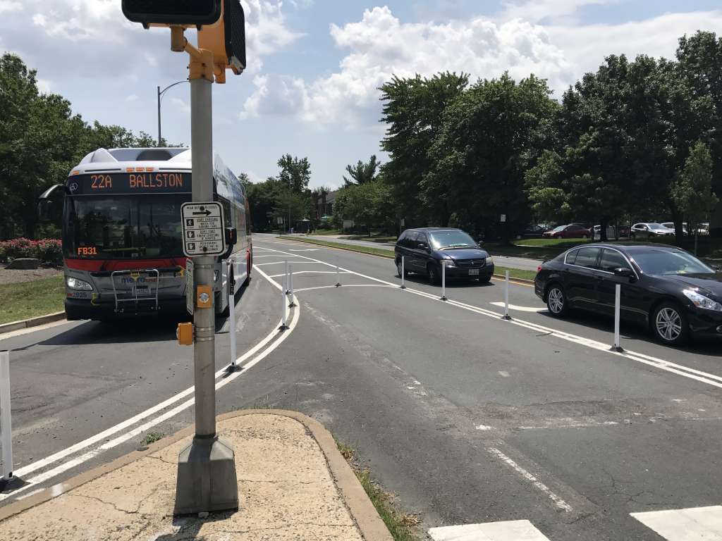
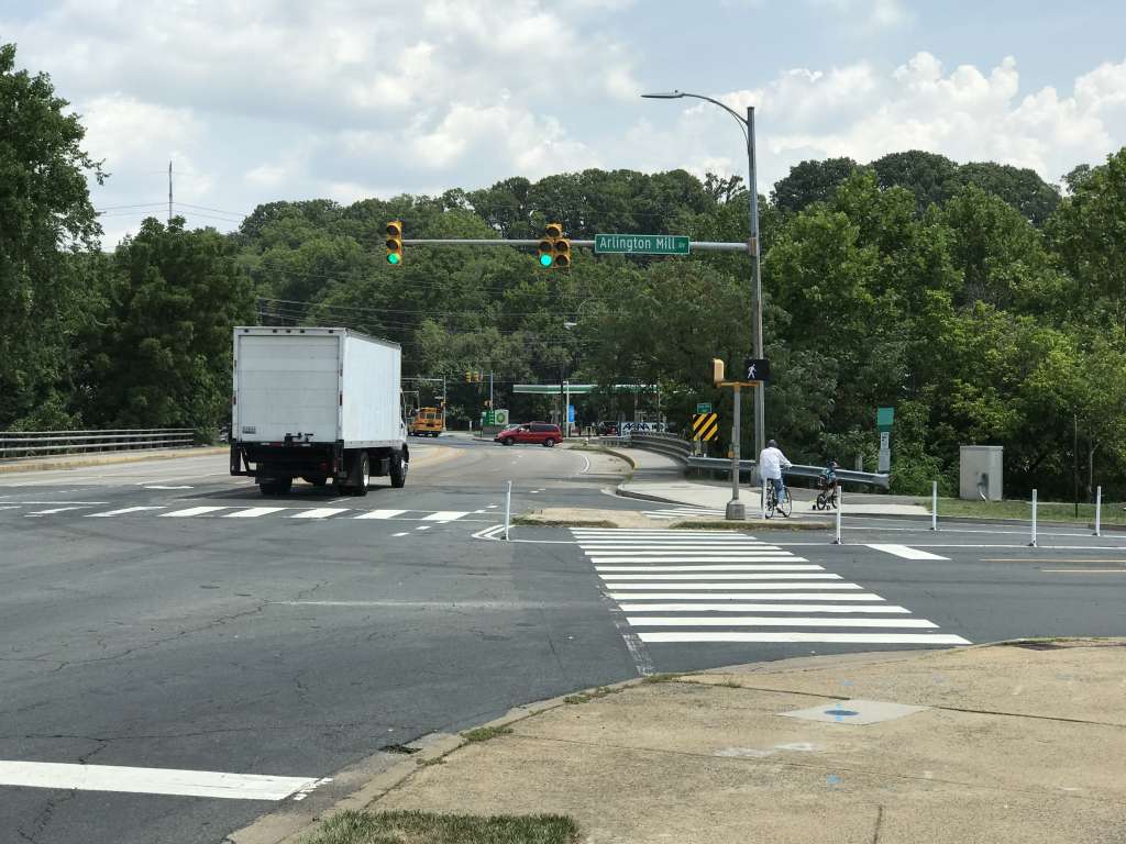
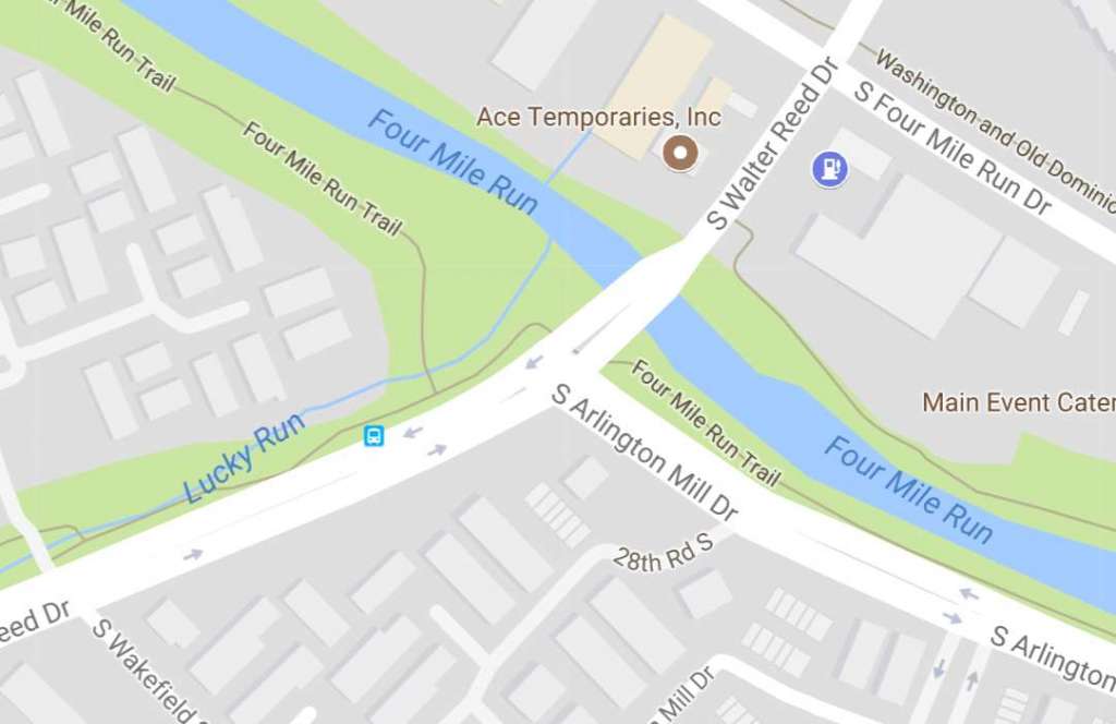
Arlington Mill Drive was recently re-striped at the “T” intersection with S. Walter Reed Drive. One of the two left turn lanes from Arlington Mill to Walter Reed was removed and blocked off with bollards, a move intended to improve safety for pedestrians and bicyclists.

There is heavy bike and pedestrian traffic at the intersection, which connects two sections of the Four Mile Run Trail.

But the lane removal has caused traffic to back up during peak times, according to several accounts. Sun Gazette editor Scott McCaffrey wrote about the backups last month, proclaiming the lane reduction to be part of the county’s “semi-official ‘drivers must suffer’ policy.”

Last week a Twitter user also reported significant evening rush hour delays.

(The backups seem to be short-lived; a brief evening rush hour visit by a reporter last week did not reveal any long lines.)

In a statement released to ARLnow.com, officials with Arlington County’s Dept. of Environmental Services said that the lane re-striping is a “test” that is being evaluated ahead of a larger intersection improvement project, slated for next year.

The test will help traffic engineers determine adjustments to the traffic signal timing, which should alleviate any delays, officials say. Potentially complicating the plan, however: there is already heavy traffic on Walter Reed Drive during the evening rush hour, which could be exacerbated by changes to the traffic light cycle.

The full statement from DES, after the jump.

(more…)


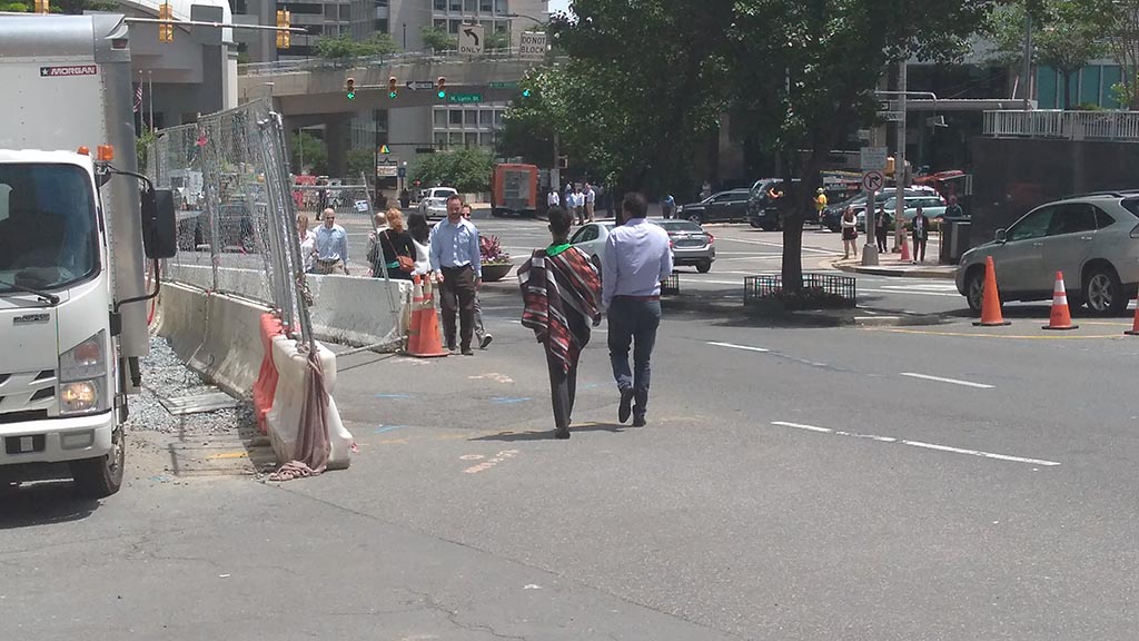
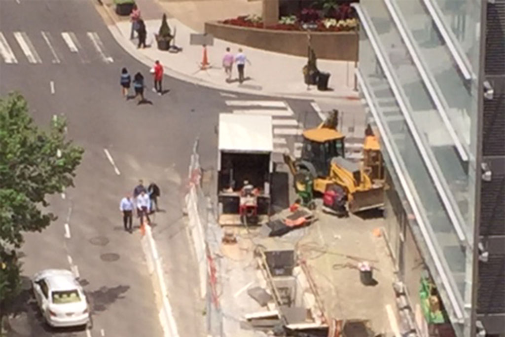
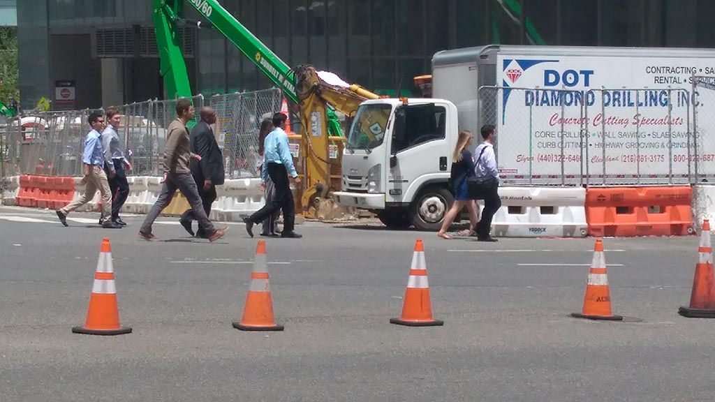
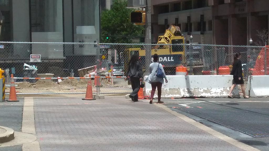
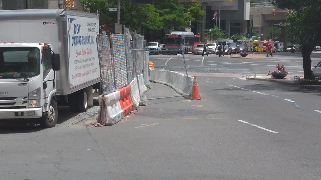
(Updated 1:10 p.m.) Construction in Rosslyn has led many people on foot to make a dubious choice after the temporary closure of a pedestrian walkway: walking in a busy street.

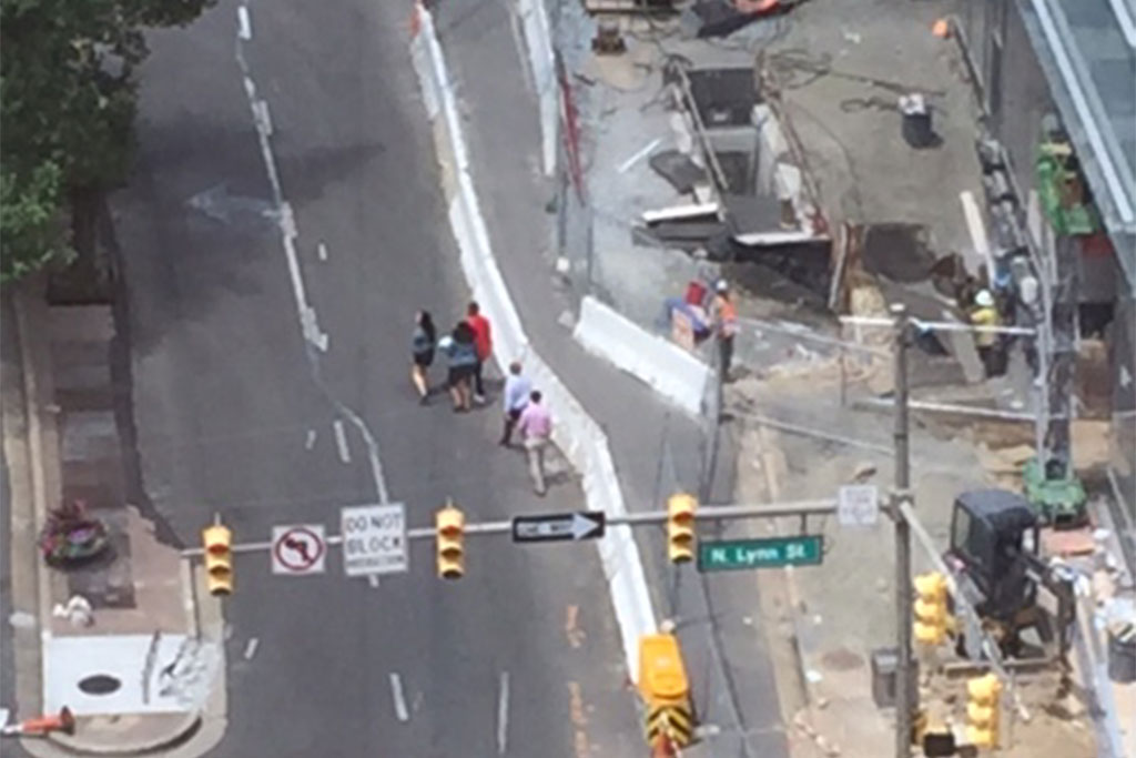
Crews closed the temporary walkway on Wilson Blvd between N. Lynn and N. Moore streets, adjacent to the Central Place development, where work is ongoing on the new CEB Tower.

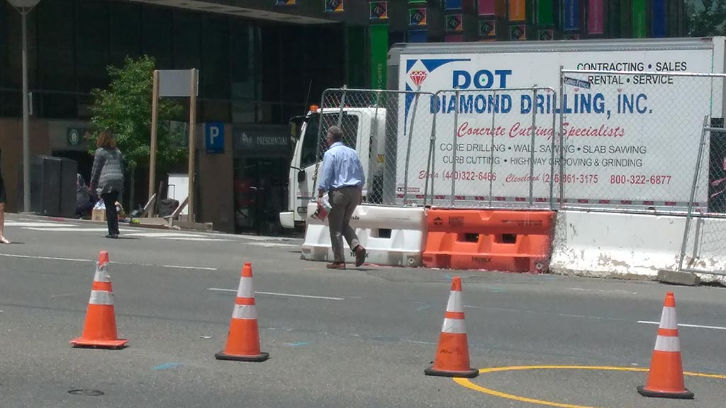
And during lunchtime Thursday, numerous people made the risky decision to walk on the outside of the walkway along Wilson Blvd, just inches from cars traveling west on that major thoroughfare.

A reader emailed to say that pedestrians had been “forced” to walk in the street, although the sidewalk on the other side of Wilson Blvd remains open for use.

A spokeswoman for the county’s Dept. of Environmental Services said the closure will last until June 29 for utility work. She said signs direct pedestrians to the opposite sidewalk.


The old Ballston pedestrian bridge is no more.

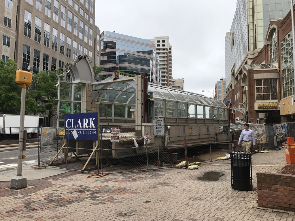
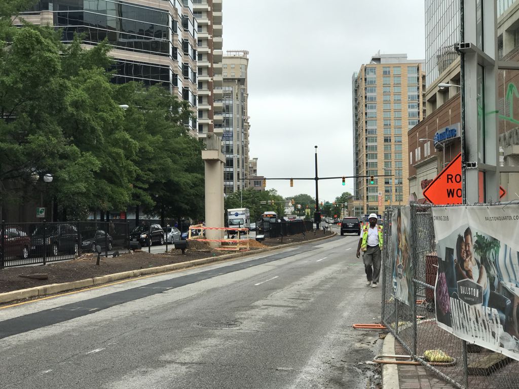
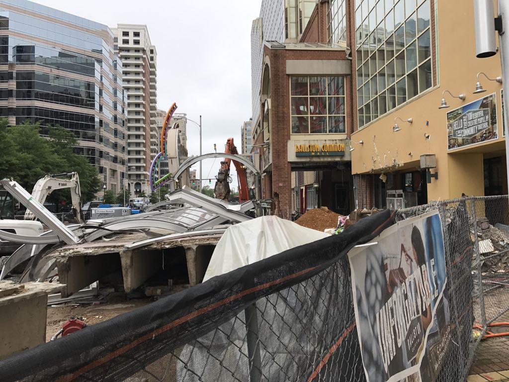
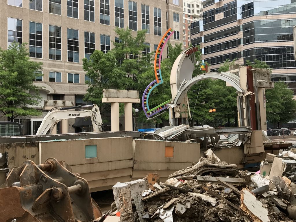
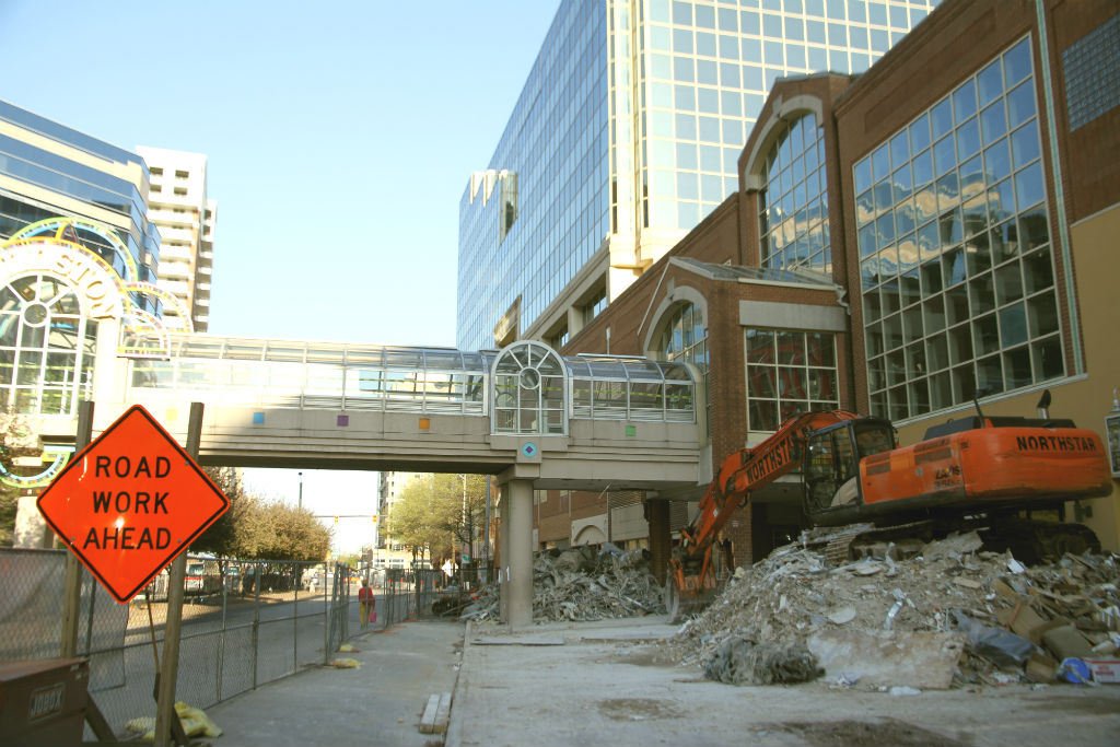
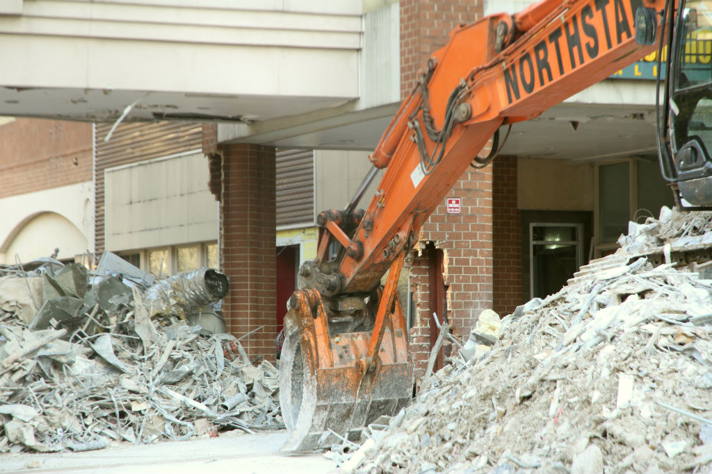
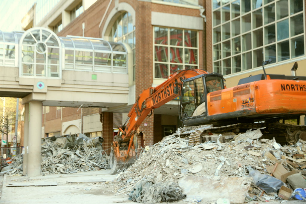
The bridge was torn down over the weekend, closing part of Wilson Blvd in front of the under-construction Ballston Quarter mall and prompting a new location for the Taste of Arlington festival. The demolition included the use of a large crane to lower sections of the bridge.

Today, a construction crew was working to clear leftover debris, while a large section of the bridge sat largely intact, fenced off along the sidewalk.

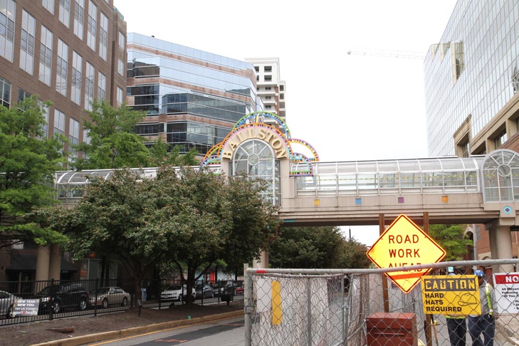
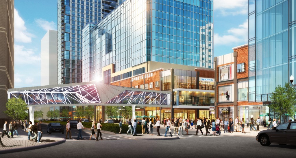
Via Twitter, one local resident called the dismantling of the bridge and its “Ballston” sign an “end of an era.” A new pedestrian bridge will be built nearby, however, with its opening set for the fall of 2018.


The long-planned demolition of the pedestrian bridge over Wilson Blvd in Ballston should begin soon, according to a spokeswoman for the developer.

The bridge between Ballston Common Mall and 4201 Wilson Blvd — which houses the soon-to-be-relocated National Science Foundation — closed last year as part of the mall’s renovation.

An anonymous tipster reported seeing bricks being removed at the base of the bridge’s pillars where it connects to the mall, and wondered if demolition was beginning.

But a spokeswoman for developer Forest City, which is carrying out the mall’s revamp, said last week it is not doing any work on the bridge at this time. She added that demolition is scheduled to start soon.

“We are not doing any construction on the structural components that would affect the bridge,” the spokeswoman said. “The demolition should begin within the next 30 days, but we will notify the public once we have a solid date.”

The bridge is still on track to be reconstructed and reopened in time for the revamped mall’s opening in fall 2018.


Police are ready to hand out more tickets as a way to boost awareness of pedestrian and bicyclist safety.

On Friday, police will set up at the corner of Fairfax Drive and N. Kenmore Street from 3-5 p.m. to enforce traffic laws. They’ll ticket any driver, cyclist or pedestrian who commits a violation. On May 2, they’ll do the same at the corner of Columbia Pike and S. Oakland Street from noon to 2 p.m.

ACPD will conduct the enforcement events as part of a larger D.C.-area safety campaign to reduce injuries and deaths by changing pedestrian, cyclist and driver behaviors. That campaign started yesterday and runs through mid-May.

Police note that cyclists and pedestrians make up nearly a quarter of the region’s traffic fatalities each year. They encourage everyone to safely share the roads and pay attention to one another.


No new projects to improve pedestrian safety — such as sidewalk fixes or streetlight installations — will be approved until at least December after a vote last week by a citizen committee.

The Neighborhood Conservation Advisory Committee voted April 13 to suspend its spring funding round due to “anticipated increases in construction costs for projects that have already been approved by the County Board,” neighborhood conservation program coordinator Tim McIntosh said in an email.

NCAC represents 48 of the county’s 57 civic associations and leads the development of neighborhood plans. It also recommends neighborhood-initiated improvements for county funding, like sidewalks, street beautification, pedestrian safety projects, street lights and parks.

The NCAC’s decision does not affect existing projects already approved by the County Board. McIntosh said design work and construction on several plans will continue this year, but that the committee “wanted to reserve a portion of its 2016 bond to cover any cost overruns which may occur later this year for projects going out for competitive bid.”

“The focus will be on continuing design work for approved projects and making sure sufficient funding is on hand to complete them prior to approving new ones,” McIntosh said.

In an email, an anonymous tipster was critical of the NCAC approvals process and said more must be done to help improve pedestrian safety.

“Clearly, the NCAC system isn’t working as a method to help improve pedestrian safety,” the tipster wrote. “These projects are getting conflated with beautification projects and are now shut down due to poor project controls. The queue of vital pedestrian safety projects, many in the NCAC process for years already (projects that have neighborhood endorsement) is growing rapidly as Arlington traffic increases and there is now no way to address these problems.”

McIntosh said no decision has been made about the fall round of funding, set to be voted on in December.

“[Neighborhood Conservation] staff and the NCAC will evaluate whether or not to have the December funding round later this year,” he said.


View More Stories