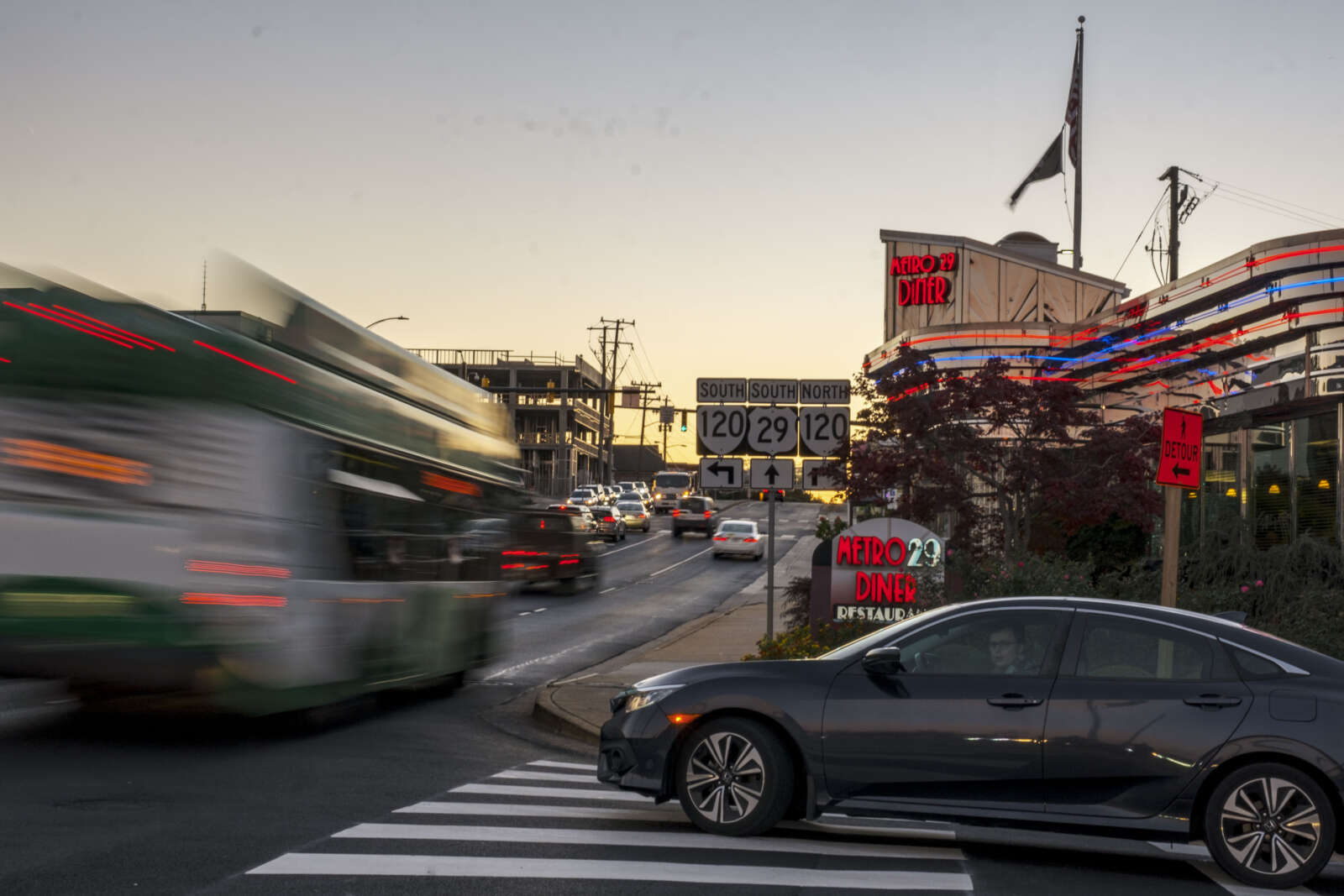
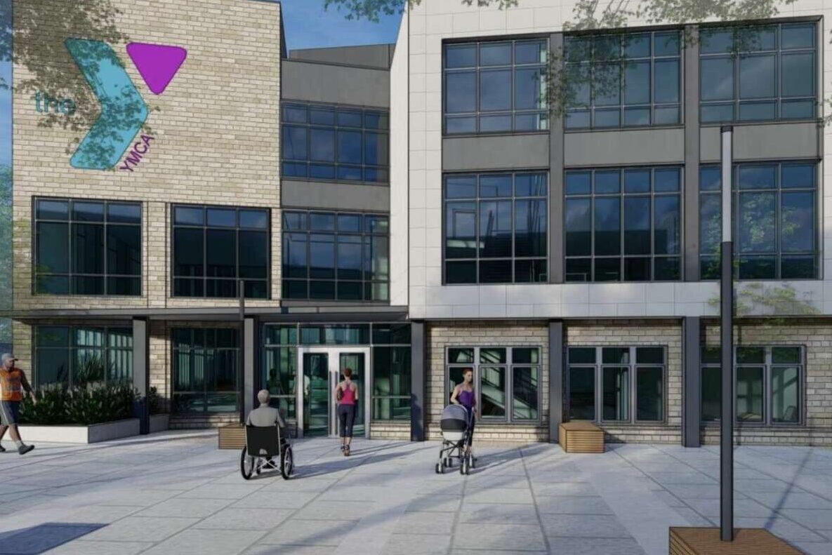
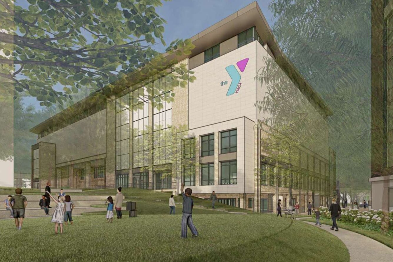
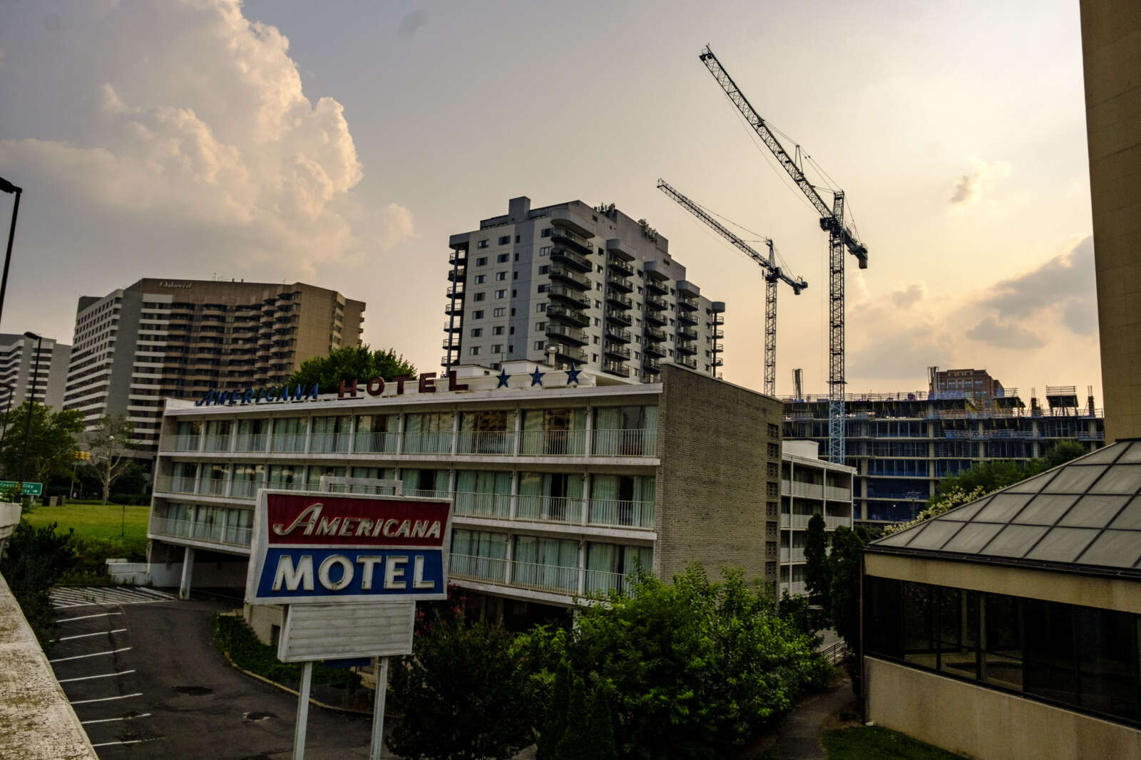
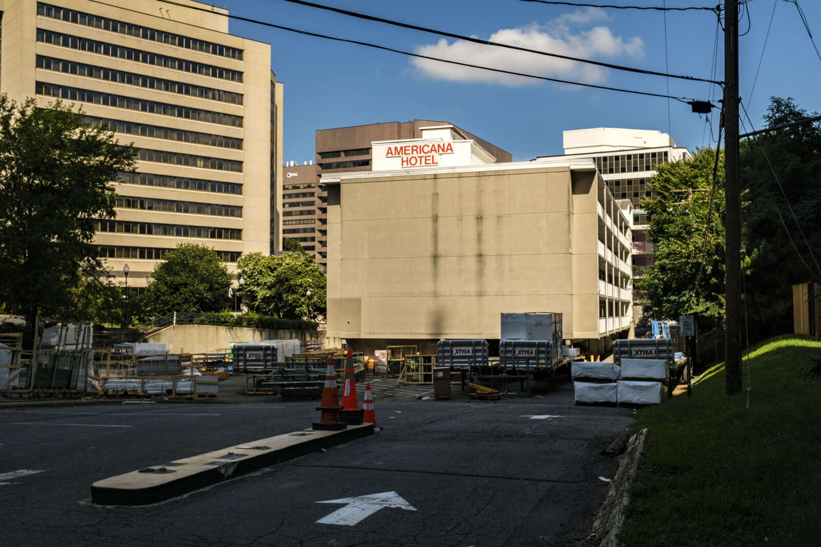
After 11 years of work, started by a group of residents and picked up by Arlington County, a planning document guiding the development of Langston Blvd could soon get teed up for final approvals.
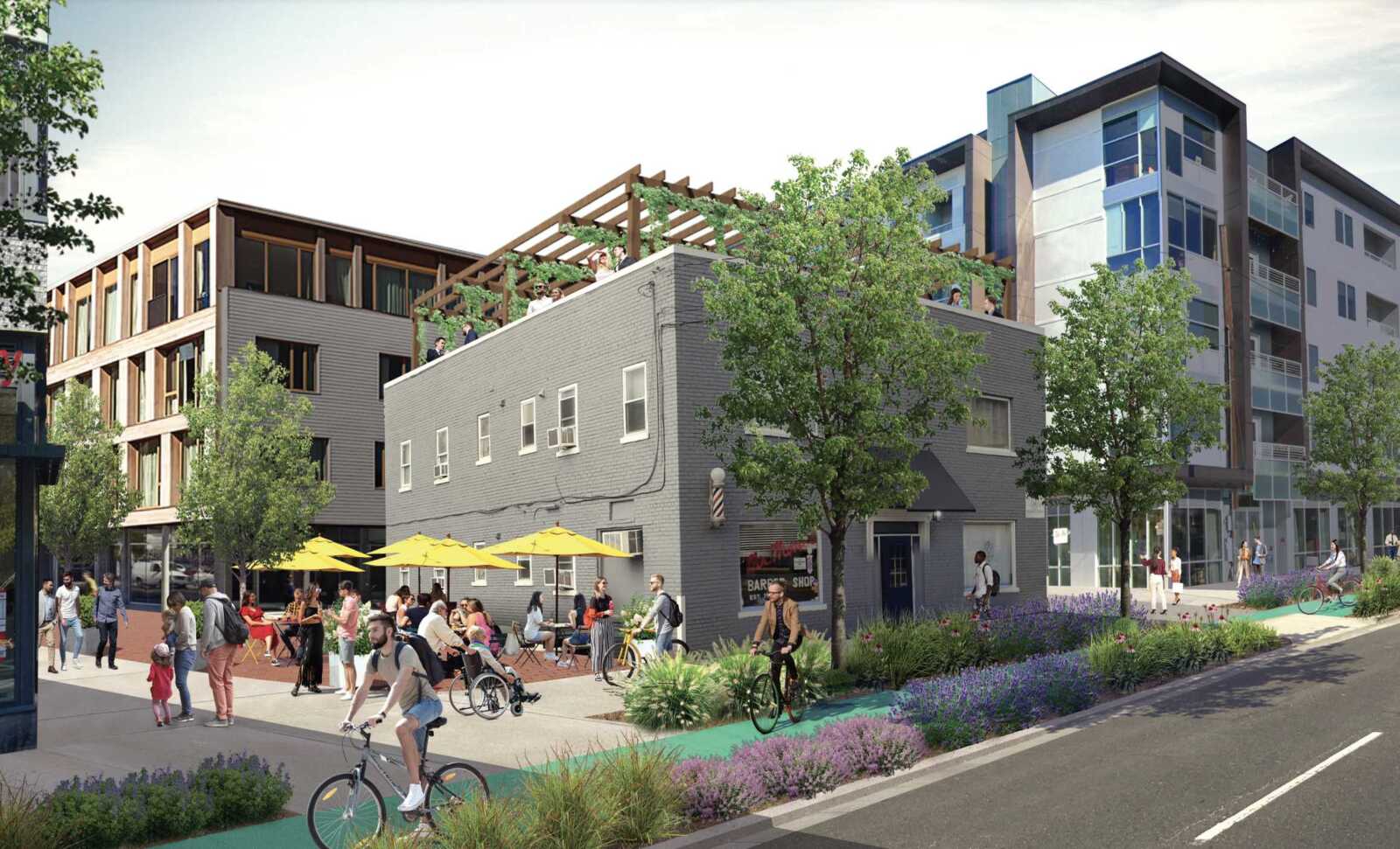
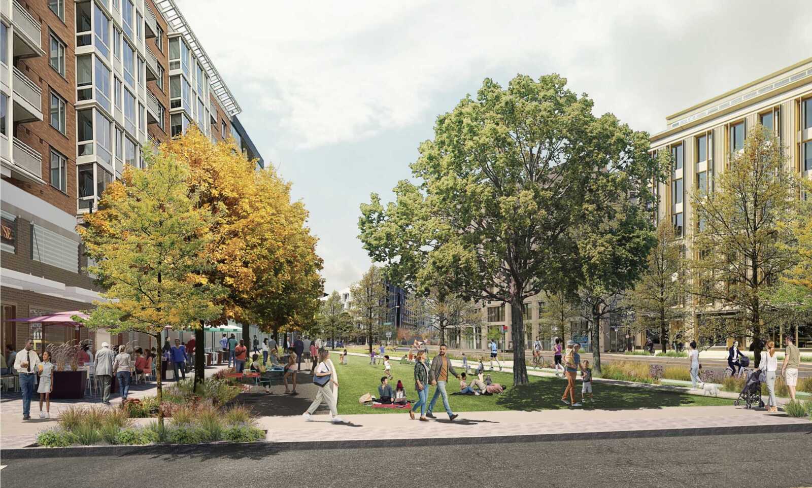
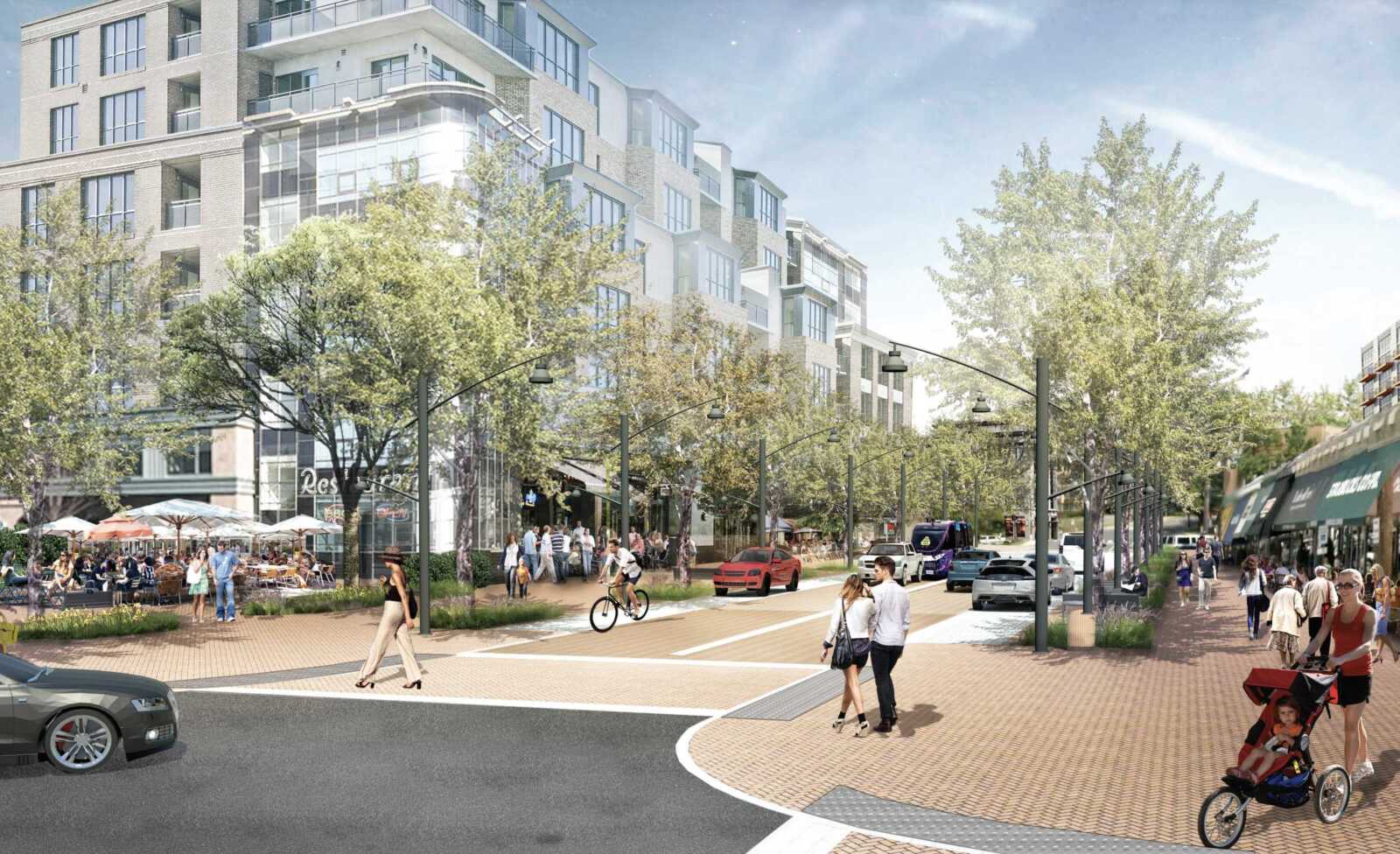
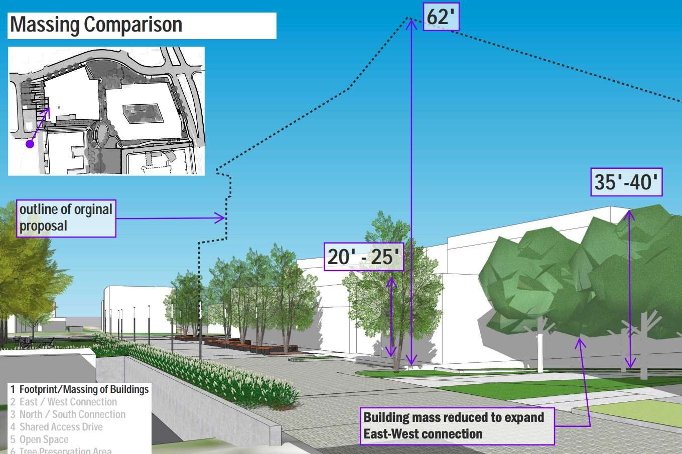
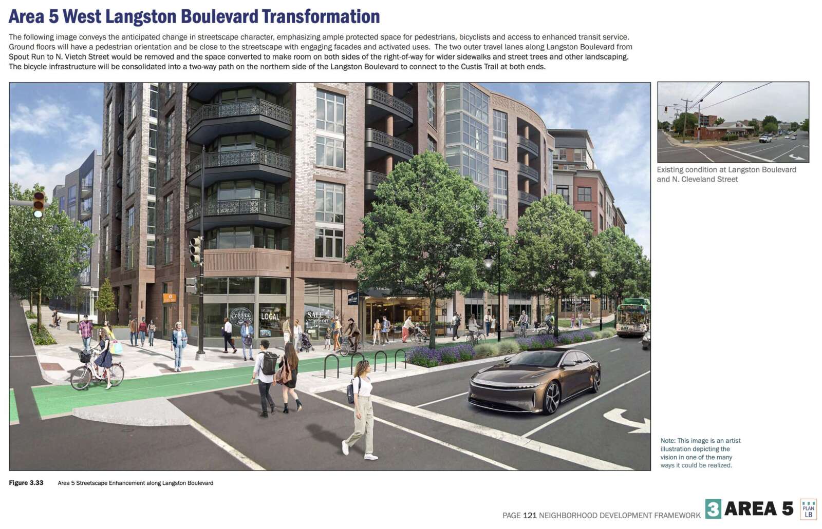
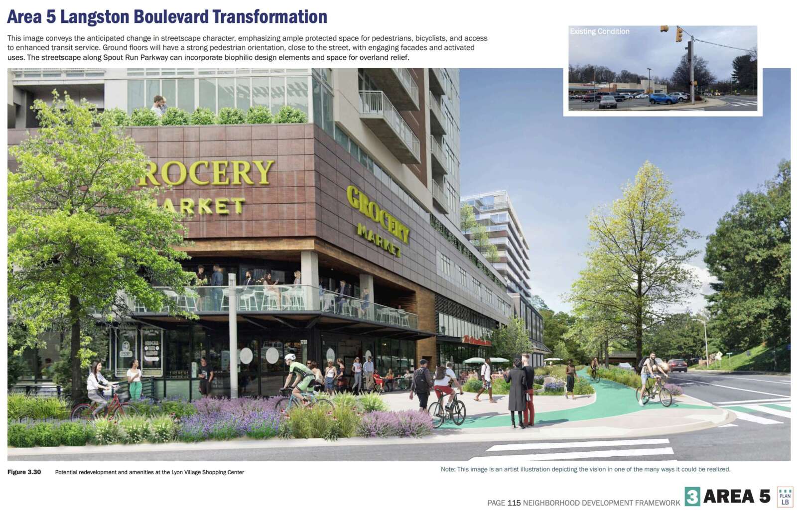
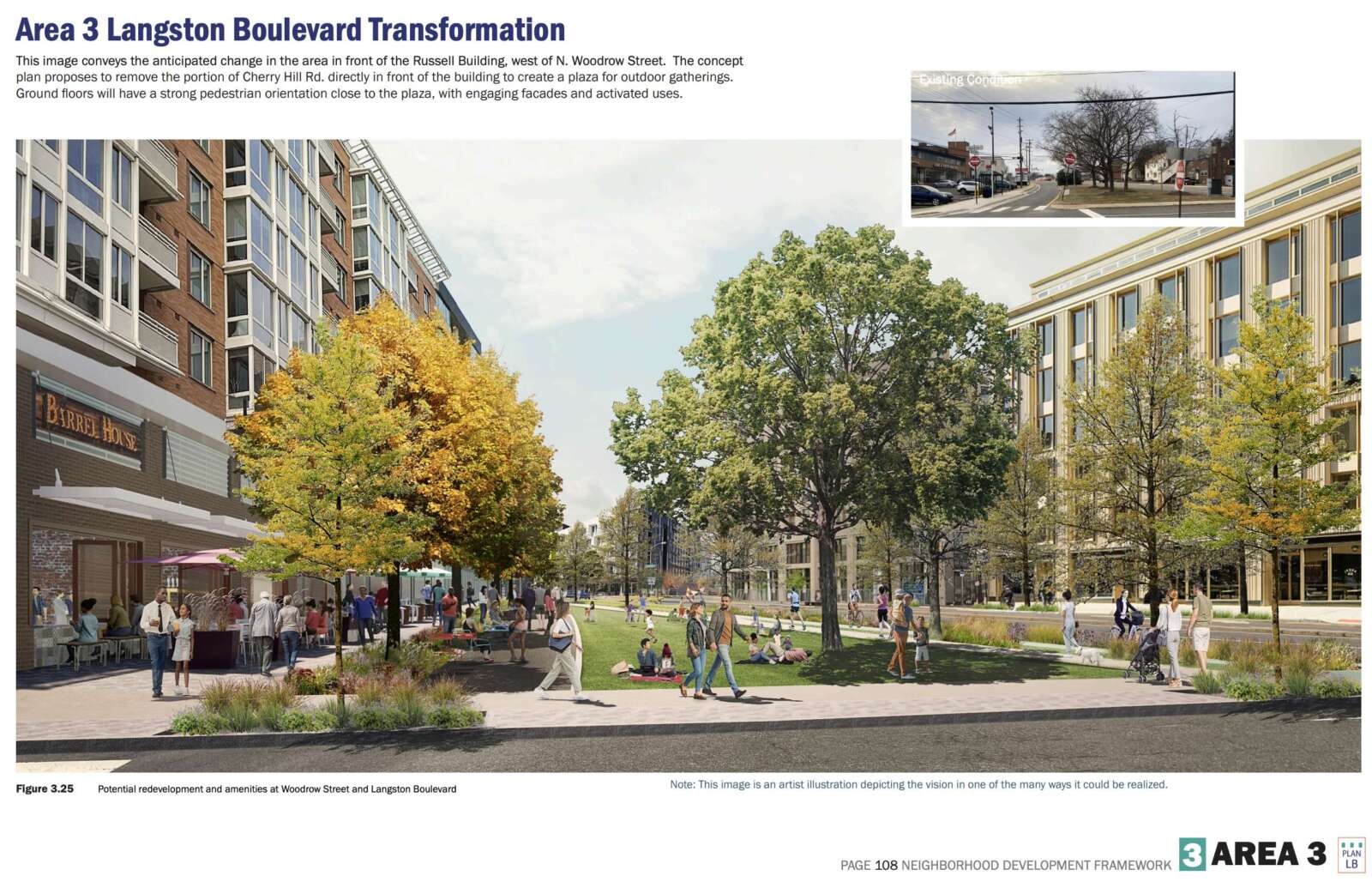
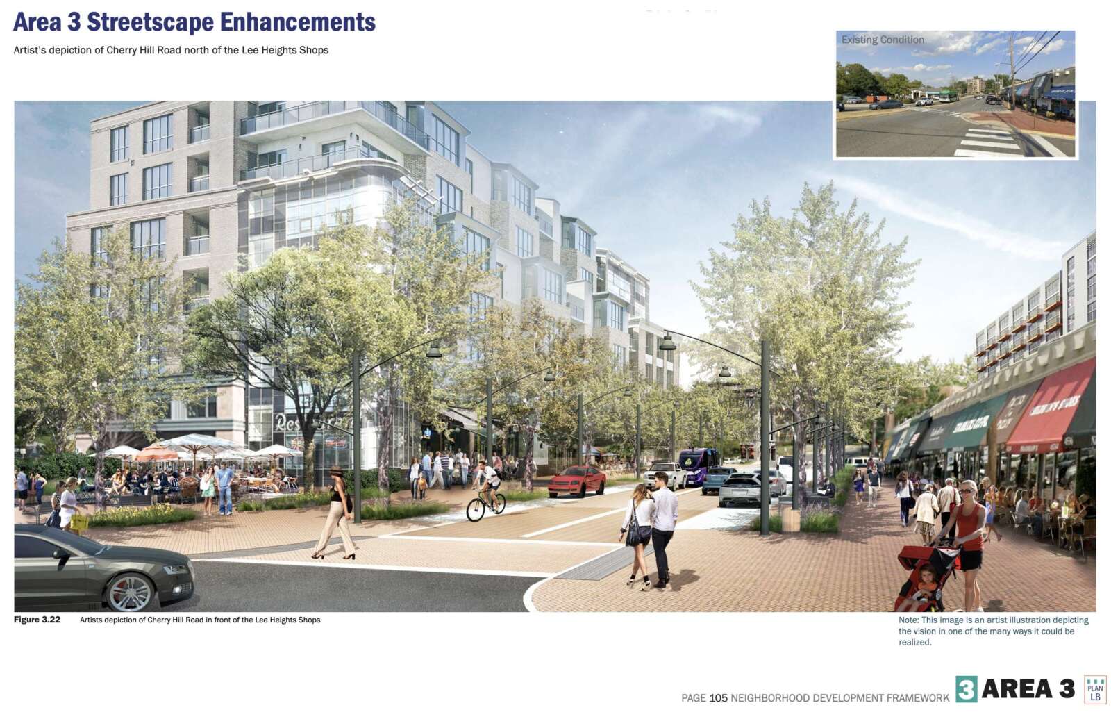
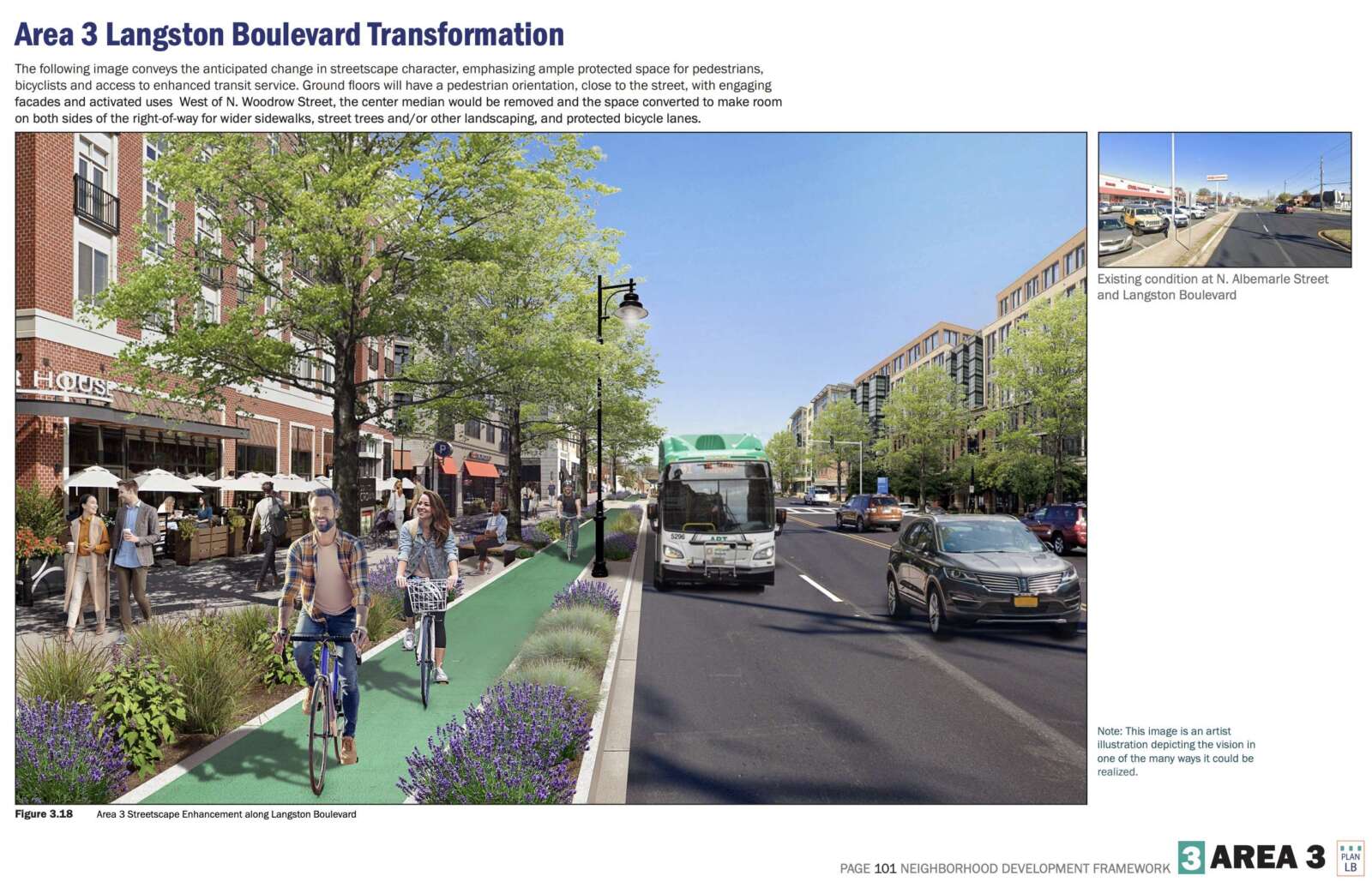
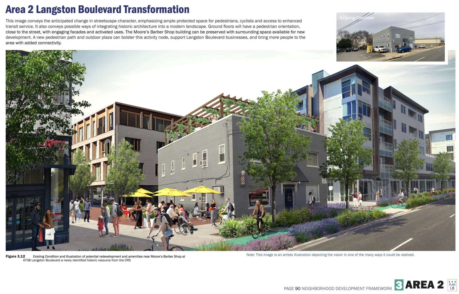
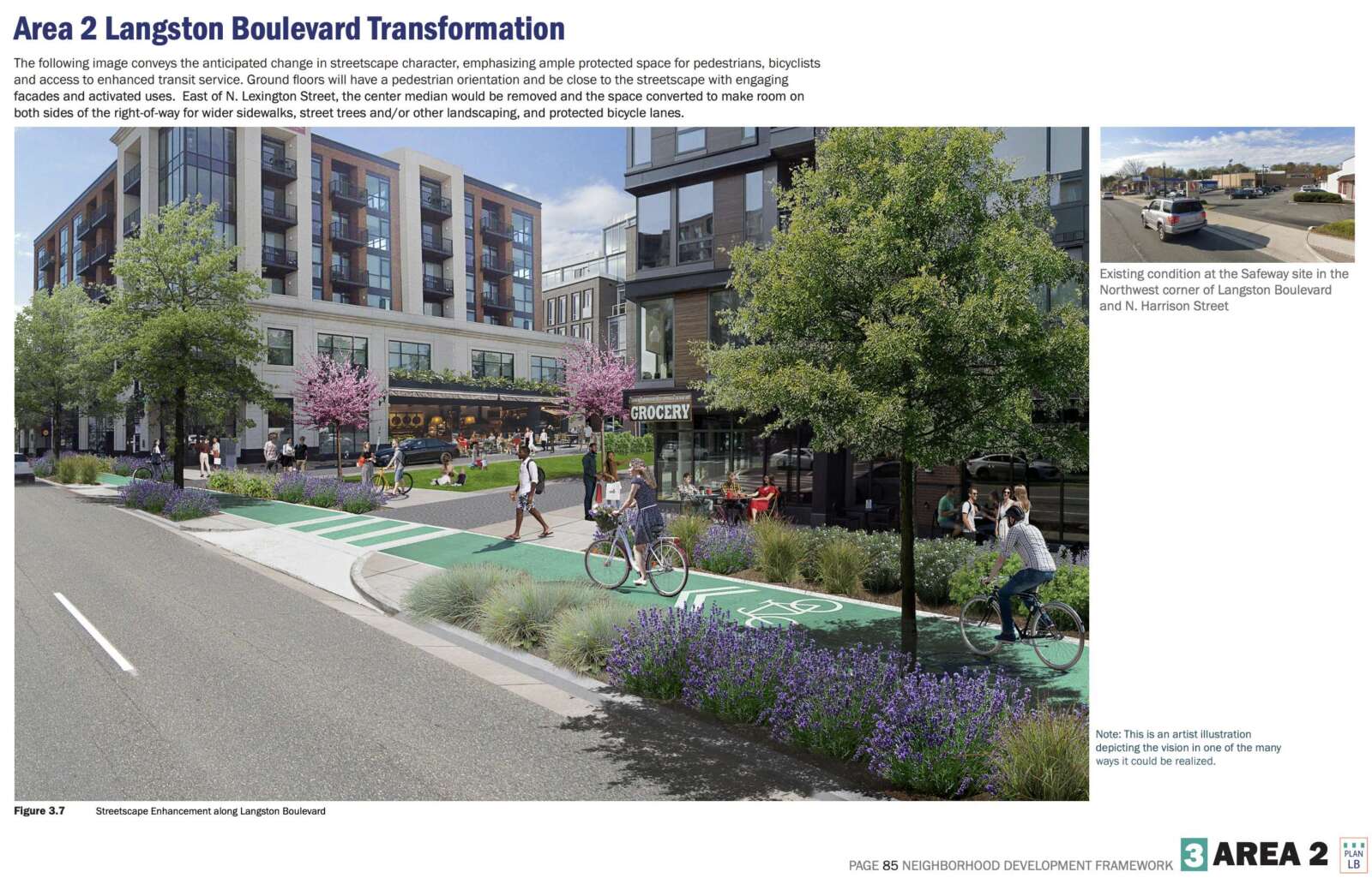
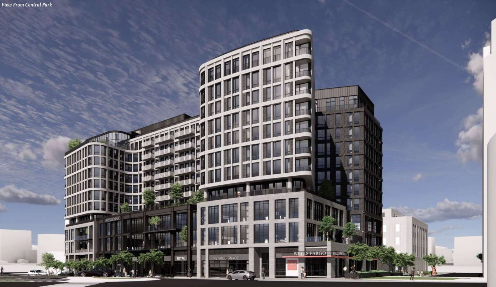
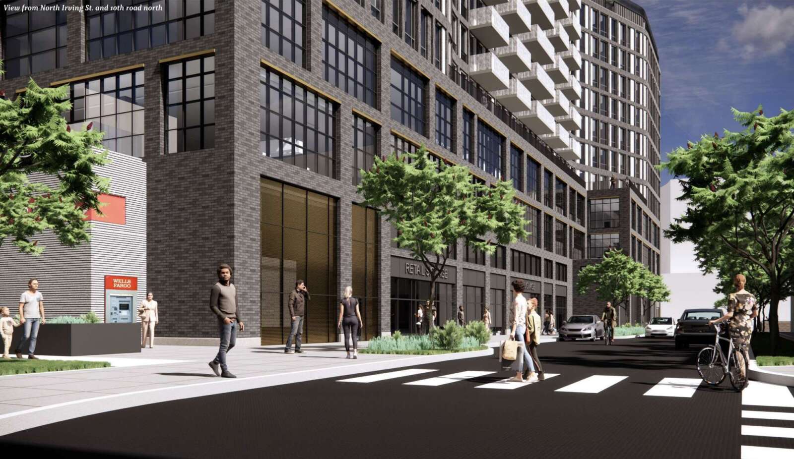
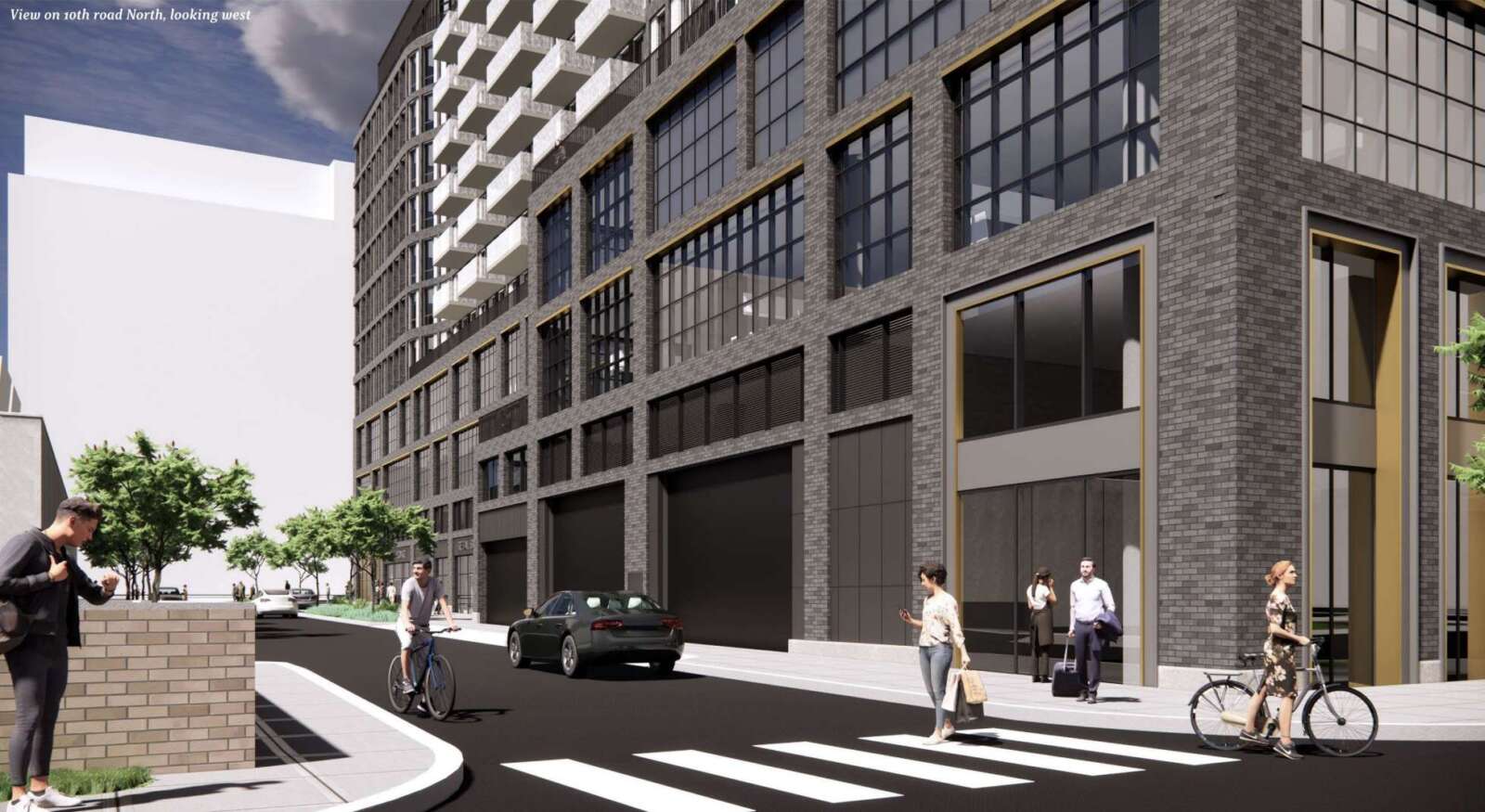
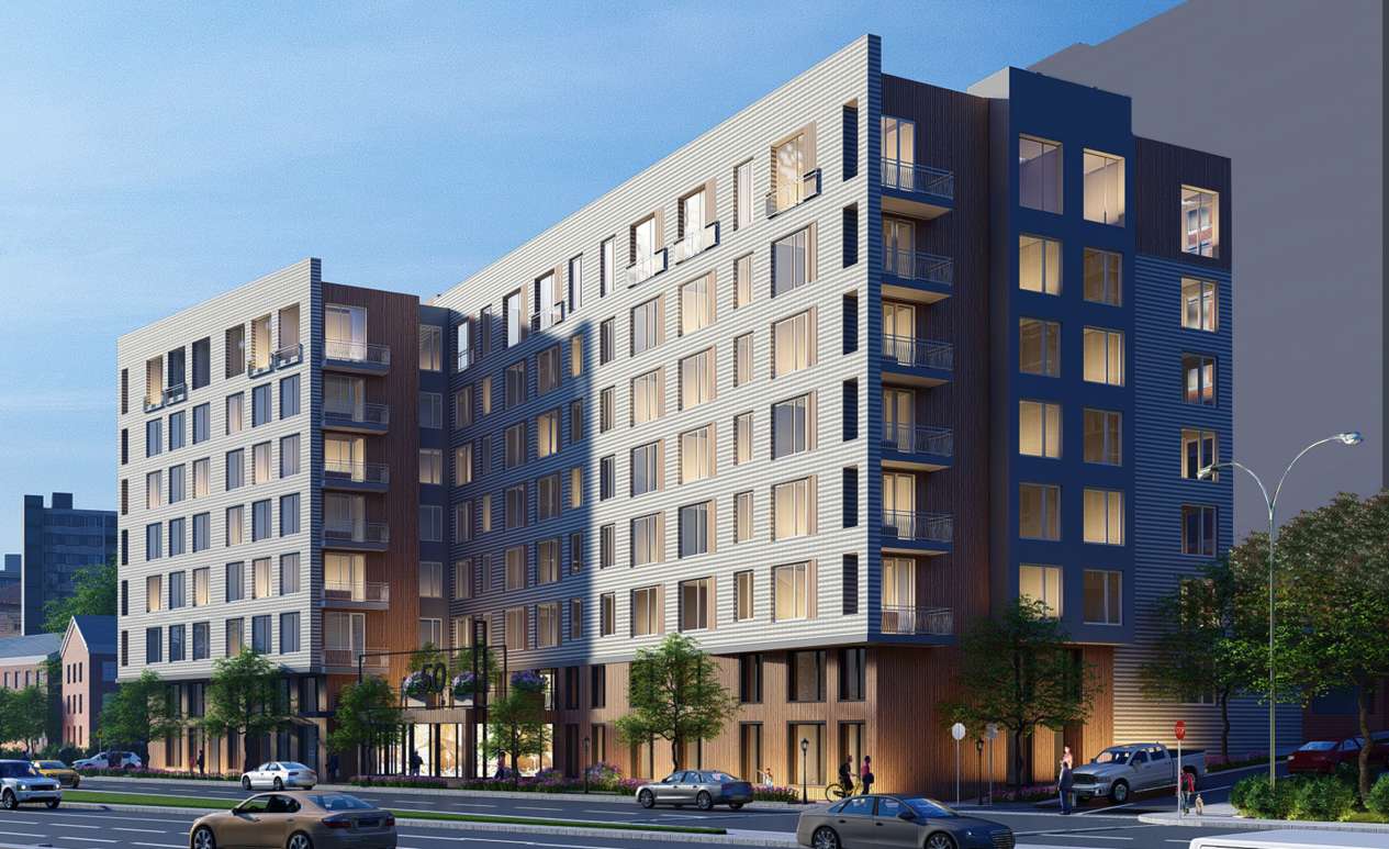
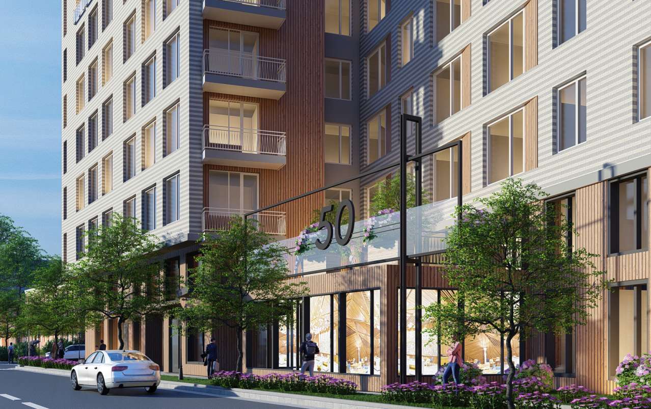
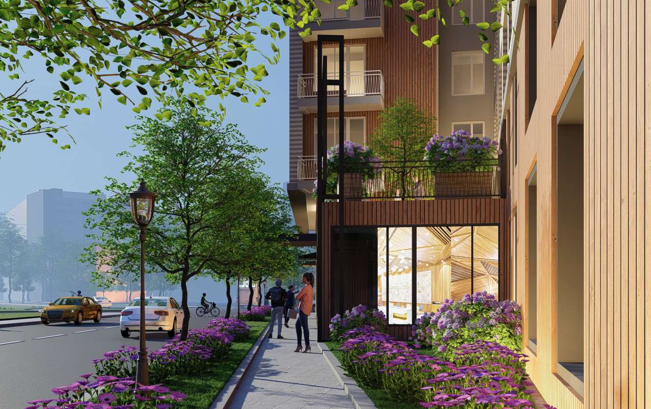
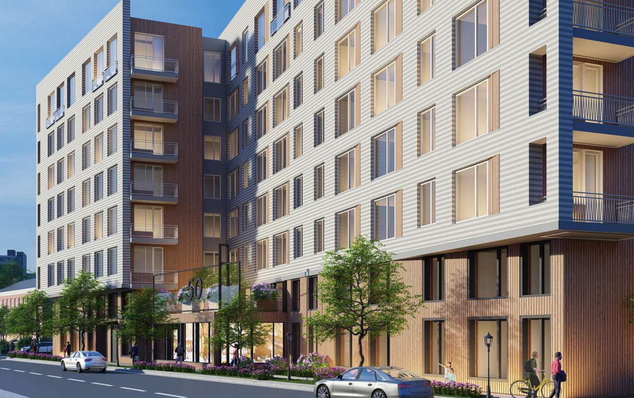
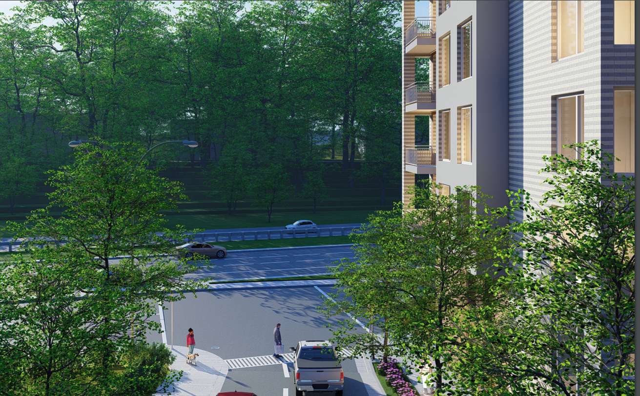
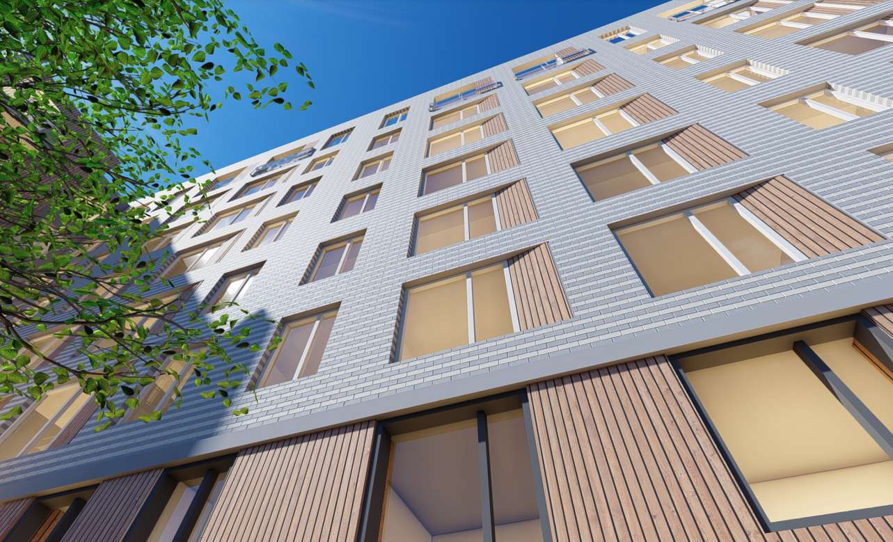
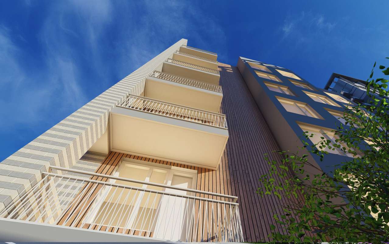
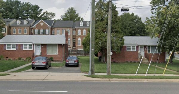
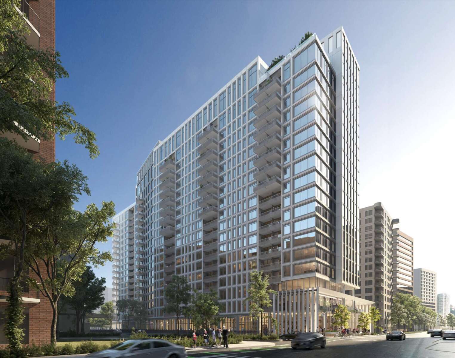
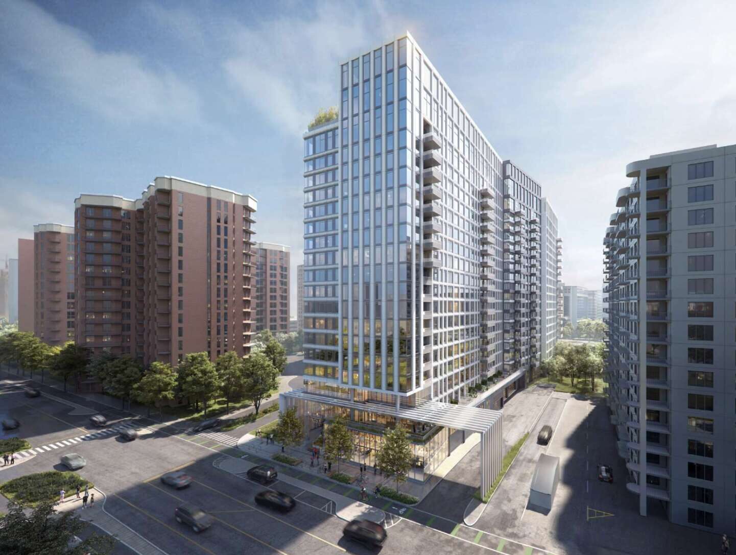
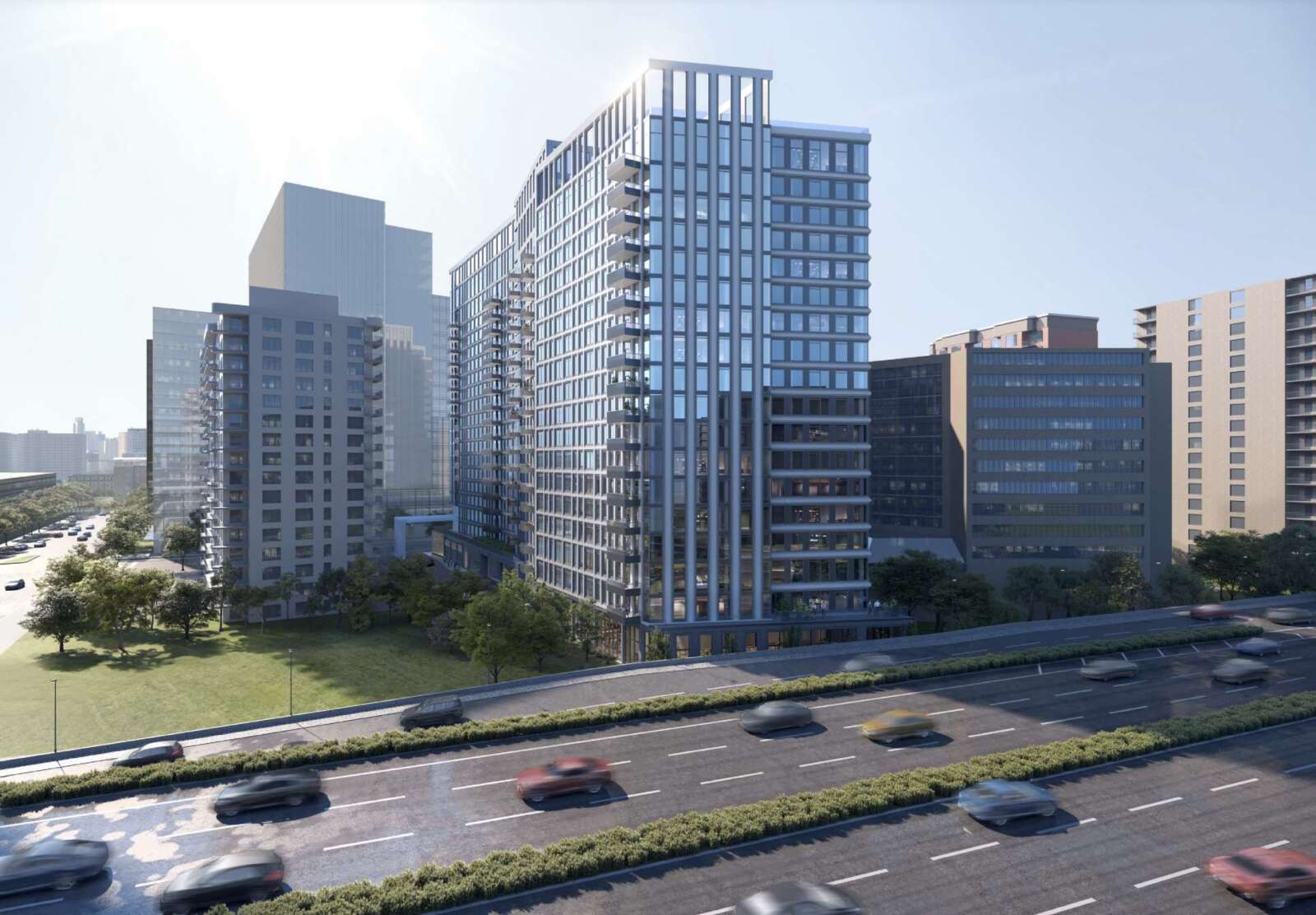
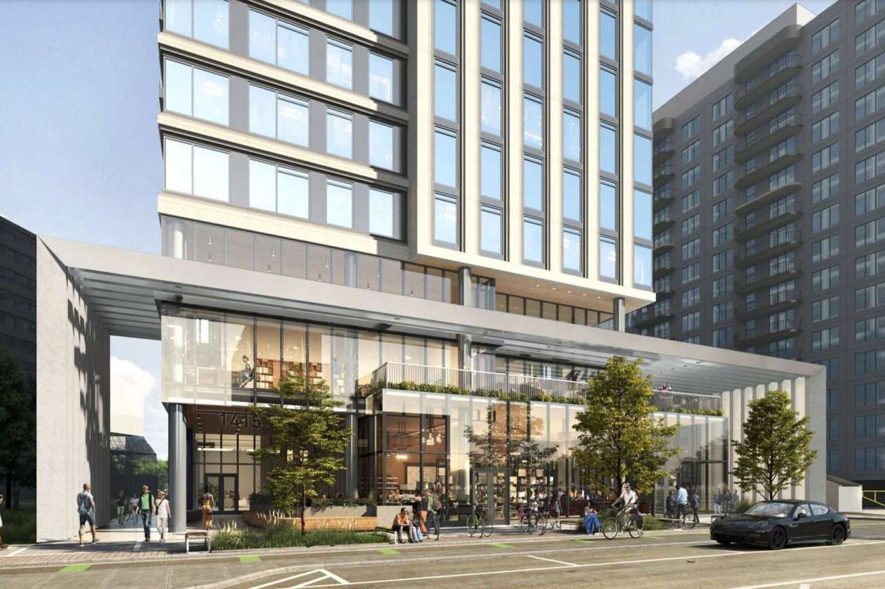
Plan Langston Blvd outlines how to encourage private development on the corridor to make it walkable, bikeable and flood-resilient. Less dense neighborhoods transition to “activity hubs” developed with privately owned public spaces and apartment buildings as tall as 15 stories, with units affordable to a broad range of income levels.
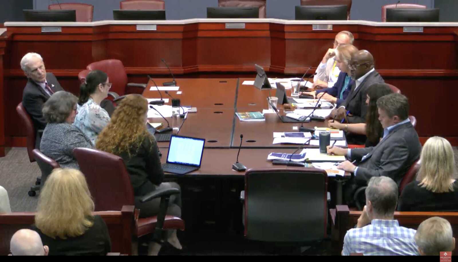
The county is preparing to publish a request to advertise Planning Commission and County Board hearings on Plan Langston Blvd next month. Before taking this step, the county amassed more public input this summer, following the release of a draft plan in June, and held a work session with the plan’s champions in the community and Arlington County Board members yesterday (Tuesday).
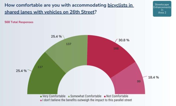
These recently published comments spanned flood mitigation, transportation planning, building heights and historic preservation, among other topics. Compared to more divided comments last year, generally about two-thirds of respondents said they are “comfortable” or “very comfortable” with the plan’s policy proposals.
During the work session, however, two longtime champions said the plan needs to be a stronger vehicle for securing affordable housing, building transportation improvements, supporting small businesses and fighting climate change. County Board members echoed some of these concerns, as well.
“A goal of the plan should be to create and retain community-serving retail and to incentivize and plan for publicly accessible parking like was done in Alexandria and Bethesda,” Langston Blvd Alliance Executive Director Ginger Brown said. “To create the community’s vision for inclusive neighborhoods serving commercial nodes, we need to support small businesses while simultaneously increasing affordable housing.”
Brown said the plan should rely on county-nonprofit partnerships, not developer contributions, to add affordable housing on Route 29.
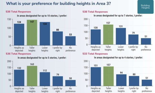
Regarding building heights, an issue that has split residents in the past, Brown said concerns about height are compounded by the plan’s “weak commitment” to bus transit and street safety improvements. She called for bus departures every 10 minutes, more north-south routes and money set aside soon for transportation safety upgrades.
“Many stakeholders are very nervous about the density envisioned in the plan,” she continued. “Ten, 12 and 15-story buildings on the… corridor feels like a lot of change [with] lots more cars and traffic.”
County staff told the Board there are not enough riders to justify suggestions from residents, from dedicated bus lanes to 10-minute headways, predicating changes on ridership increases.
“Transit demand will continue to be monitored and the bus service levels will be adjusted to meet that demand,” county planner Natasha Alfonso-Ahmed said.
Echoing a majority of survey respondents, Sandi Chesrown, vice chair of the citizen group dubbed the Plan Langston Blvd Community Forum, said the plan should clarify public and private investments in stormwater mitigation. The road cuts through some flood-prone neighborhoods, such as Waverly Hills.
“Let us be grateful for Arlington today, but let us recognize the Arlington of tomorrow and the impact of climate change. It is now and it is bigger than all of us,” she said.


