Mother nature treated us to some spectacular sights last night.

Following a prolonged period of rain yesterday, the sun came out just in time to produce an extraordinary golden sunset and a vivid double rainbow.

Photos courtesy Brendan Lilly (top), BrianMKA (left), and Rich Thomasson (right).


The “S” word has been on the lips of many in the metro area this week. That’s right, much to the chagrin of many residents, there’s a slight chance we’ll get a rare October snowfall.

Coincidentally, Arlington County started its annual snow training this week. Workers have been hooking up trucks, doing some trial runs and making sure all equipment is ready for the season.

Water, Sewer and Streets Bureau Chief Operating Engineer Dave Hundelt said, “Conveniently we get a random forecast for flurries or light rain/snow and overnight temps right near freezing for this weekend.”

Hundelt says Arlington doesn’t plan on mobilizing its plow or salting teams this weekend because the pavement temperatures will remain well above freezing. That prevents any precipitation from sticking to the ground or causing major driving issues. However, if the forecast changes and conditions worsen, crews could be expected to mobilize.

Currently, Arlington is not included in the winter storm watches or warnings issued by the National Weather Service for many surrounding counties. Although that could change, right now there is only a chance for a light snow shower or a rain/snow mix around here. Due to the uncertainty of the storm, most weather experts are putting the chances of snow on Saturday around 50-50.

Fall snowstorms are worrisome because trees haven’t yet shed all their leaves, making the branches heavy and susceptible to snapping off as a result of accumulation. This traditionally makes autumn snow more dangerous than winter storms.

The last time the metro area experienced a significant snowstorm in October was back on October 10, 1979.


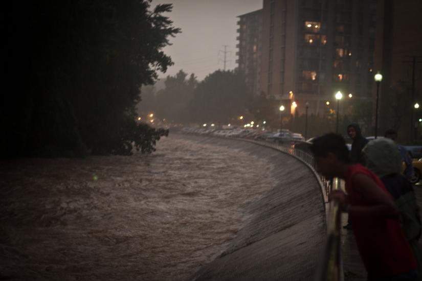
Despite dozens of flooded basements and a couple of thousand Dominion customers without power, Arlington was largely spared the flooded roads and swift water rescues that took place elsewhere in Northern Virginia.

In fact, Arlington firefighters were able to help out neighboring jurisdictions like Falls Church, Fairfax County and Alexandria during the worst of flooding last night.

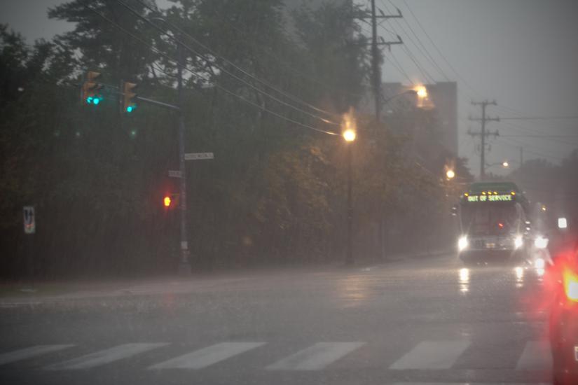
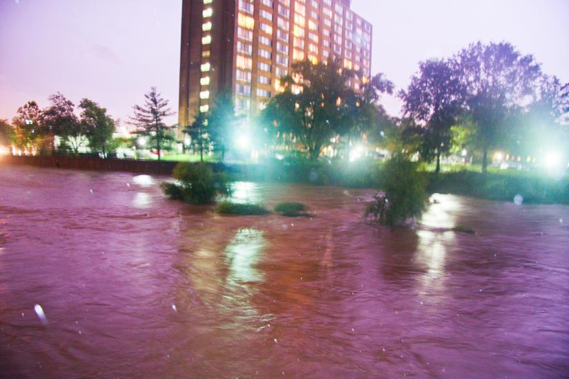
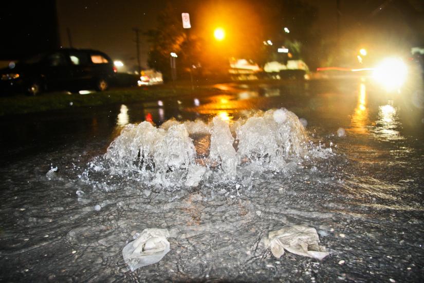
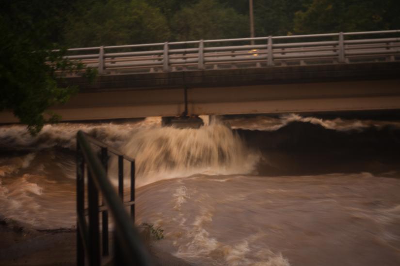
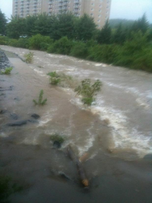
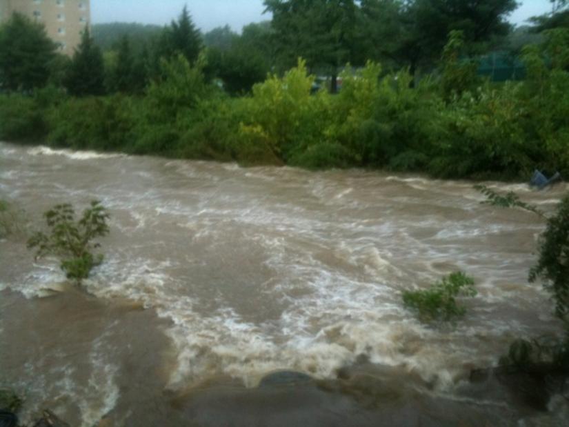
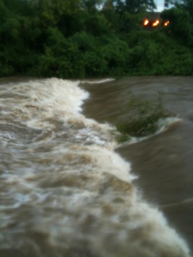
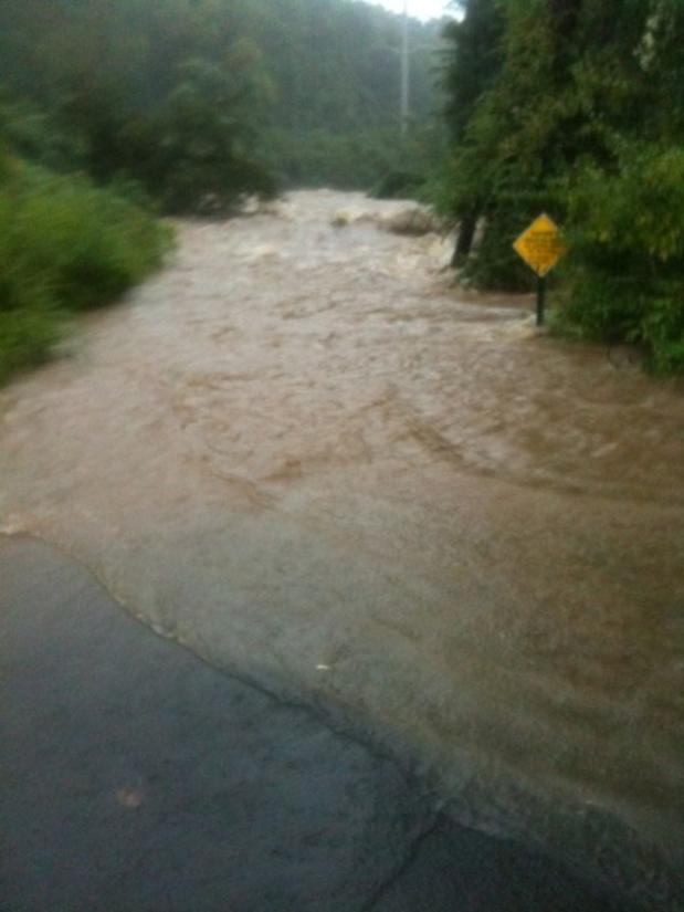
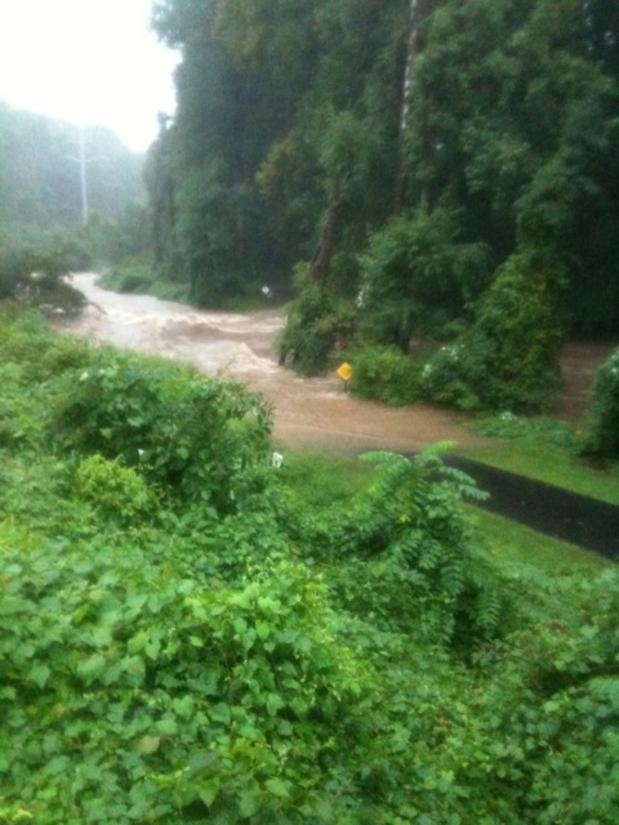
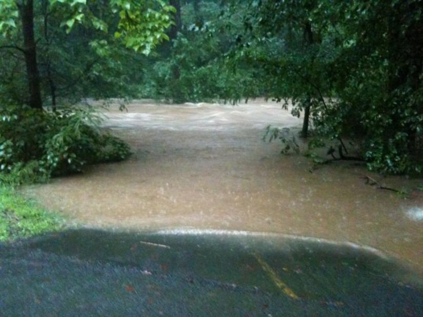
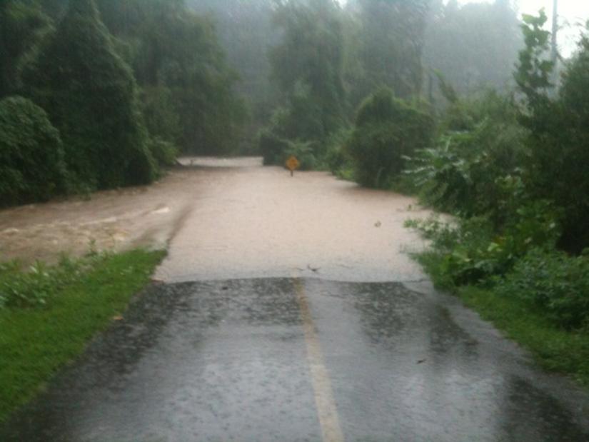
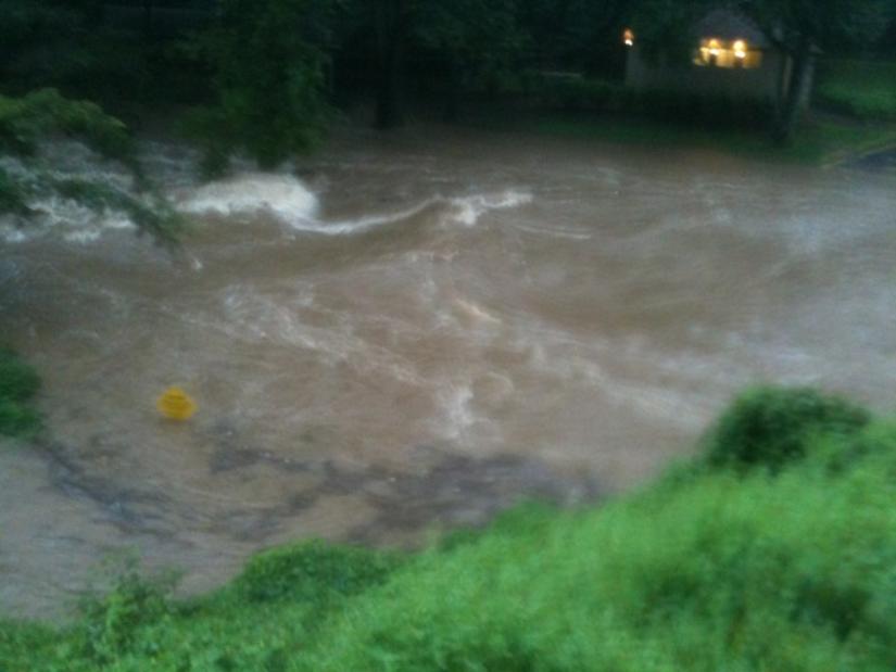
That’s not to say, however, that there was no flooding in Arlington. These photos, many of which were taken along Four Mile Run and the W&OD Trail, show just how bad things got.

Photos courtesy Brendan L. and Anonymous


Update at 11:25 p.m. — A flood warning has been issued for the area, through 5:00 a.m.

Another flash flood warning has been issued for Arlington and the surrounding area.

Heavy rains and thunderstorms moving up from the south are producing a high risk of flash flooding through the night. In the past hour, numerous flooded road have been reported in the City of Falls Church, while at least a dozen flooded basements have been reported in Arlington.

From the National Weather Service:

* FLASH FLOOD WARNING FOR… THE DISTRICT OF COLUMBIA… SOUTHEASTERN MONTGOMERY COUNTY IN CENTRAL MARYLAND… WESTERN PRINCE GEORGES COUNTY IN CENTRAL MARYLAND… CITY OF FALLS CHURCH IN NORTHERN VIRGINIA… ARLINGTON COUNTY IN NORTHERN VIRGINIA… CHARLES COUNTY IN SOUTHERN MARYLAND… NORTHWESTERN ST. MARYS COUNTY IN SOUTHERN MARYLAND…

* UNTIL 1230 AM EDT

* AT 825 PM EDT… NATIONAL WEATHER SERVICE DOPPLER RADAR INDICATED MODERATE TO VERY HEAVY RAINFALL CONTINUING OVER THE WASHINGTON DC METRO… WITH THE HEAVIEST TO THE SOUTH AND WEST OF WASHINGTON DC. NUMEROUS ROAD CLOSURES FROM FLASH FLOODING HAS BEEN REPORTED ACROSS THE CITY OF FALLS CHURCH… ARLINGTON COUNTY AND WESTERN AND SOUTHERN PORTIONS OF CHARLES COUNTIES. FLASH FLOODING WILL LIKELY CONTINUE THROUGH THE REMAINDER OF THE EVENING.

* SOME LOCATIONS THAT WILL CONTINUE TO BE AFFECTED BY THE HEAVY RAIN INCLUDE ARLINGTON… INDIAN HEAD… ST. CHARLES… WALDORF… ANACOSTIA… FORT WASHINGTON… PORT TOBACCO RIVER… SWAN POINT AND WICOMICO RIVER.

PRECAUTIONARY/PREPAREDNESS ACTIONS…

ADDITIONAL RAINFALL AMOUNTS OF ONE TO TWO INCHES ARE POSSIBLE IN THE WARNED AREA.

EXCESSIVE RUNOFF FROM HEAVY RAINFALL WILL CAUSE FLOODING OF SMALL CREEKS AND STREAMS… HIGHWAYS AND UNDERPASSES. ADDITIONALLY… COUNTRY ROADS AND FARMLANDS ALONG THE BANKS OF CREEKS… STREAMS AND OTHER LOW LYING AREAS ARE SUBJECT TO FLOODING.

A FLASH FLOOD WARNING MEANS THAT FLOODING IS IMMINENT OR OCCURRING. IF YOU ARE IN THE WARNING AREA MOVE TO HIGHER GROUND IMMEDIATELY. RESIDENTS LIVING ALONG STREAMS AND CREEKS SHOULD TAKE IMMEDIATE PRECAUTIONS TO PROTECT LIFE AND PROPERTY. DO NOT ATTEMPT TO CROSS SWIFTLY FLOWING WATERS OR WATERS OF UNKNOWN DEPTH BY FOOT OR BY AUTOMOBILE.

See the previous flash flood warning, after the jump.

(more…)


Update at 7:45 p.m. — Adding to the misery on the roads: more than 2,600 Dominion customers are without power in Arlington. Many of the outages are concentrated in the area of Route 50 and Carlin Springs Road. Several traffic lights are reported to be dark as a result.

Thanks to today’s heavy rain, and the resulting flooding in Alexandria, Fairfax County and the City of Falls Church, tonight’s commute can only be described as nightmarish.

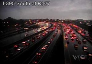
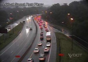
Southbound I-395, westbound I-66 and westbound Columbia Pike are all still slow through Arlington, as of 7:00 tonight. Meanwhile, WTOP just reported that the Capital Beltway has been closed at Cameron Run in Alexandria, due to flooding across the roadway.

Due to the continued threat of flooding, local residents are being encouraged to stay off the roads if at all possible.


Update at 6:25 p.m. — Another ACFD unit has been dispatched to a swift water rescue at the intersection of Braddock Road and Little River Turnpike in Lincolnia.

Update at 4:50 p.m. — At this point we’ve heard at least three four ACFD units dispatched to assist with swift water rescues.

Several squads from the Arlington County Fire Department have been dispatched to Fairfax County to assist with swift water rescues.

The first mutual aid call came in just after 3:00 p.m. Units have been dispatched to locations like Oakton and Great Falls.

While Arlington has remained fairly dry for much of the afternoon, a line of heavy rains has been soaking parts of Fairfax County for several hours. Via Twitter, there have been several reports of flooding on portions of Route 50, Route 123 and the Dulles Toll Road.


(Updated 12:50 p.m.) The 14th Street Bridge is jammed heading into the District as flooding has blocked several major arteries into the city.

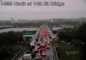
DDOT has reported the ramp to I-395 eastbound is closed at the 14th Street Bridge due to high standing water. Traffic is being directed onto 14th Street. As a result, major delays have formed across the bridge here in Virginia.

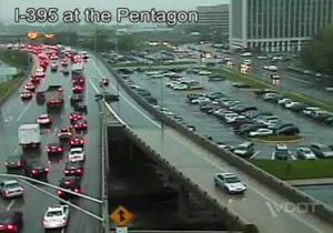
Traffic is moving very slowly approaching the bridge. Cars are backed up to Pentagon City on I-395, and police report that on-ramps in the area are also jammed. In fact, we’ve observed cars heading the wrong way on ramps to I-395 in order to get out of the backup. (See traffic camera image, above right.)

Drivers are encouraged to avoid the 14th Street Bridge if at all possible.


A flash flood warning has been issued as heavy rain and thunderstorms continue to move through the area.

Forecasters warn that already-saturated ground may lead to flooding, especially in low-lying areas.

THE NATIONAL WEATHER SERVICE IN STERLING VIRGINIA HAS ISSUED A

* FLASH FLOOD WARNING FOR… THE DISTRICT OF COLUMBIA… WESTERN PRINCE GEORGES COUNTY IN CENTRAL MARYLAND… CITY OF ALEXANDRIA IN NORTHERN VIRGINIA… EASTERN CITY OF FALLS CHURCH IN NORTHERN VIRGINIA… ARLINGTON COUNTY IN NORTHERN VIRGINIA… EASTERN FAIRFAX COUNTY IN NORTHERN VIRGINIA… CENTRAL CHARLES COUNTY IN SOUTHERN MARYLAND…

* UNTIL 145 PM EDT

* AT 1046 AM EDT… NATIONAL WEATHER SERVICE DOPPLER RADAR INDICATED A NORTH TO SOUTH BAND OF HEAVY RAINFALL EXTENDING FROM WASHINGTON SOUTHWARD TO NEAR PORT TOBACCO… MOVING NORTH ACROSS THE SAME AREAS. HEAVY RAINFALL OVER TWO INCHES IS LIKELY WITHIN THIS BAND OF RAIN.

* SOME LOCATIONS THAT WILL CONTINUE TO BE AFFECTED BY THE HEAVY RAIN INCLUDE ALEXANDRIA… ARLINGTON… BALLSTON… FORT BELVOIR… FRANCONIA… HYBLA VALLEY… LAKE BARCROFT… LINCOLNIA… MCLEAN… ROSSLYN… BLADENSBURG… CAMP SPRINGS… CHEVERLY… COLLEGE PARK… CORAL HILLS… FRIENDLY… HYATTSVILLE… INDIAN HEAD… LA PLATA… LANGLEY PARK… MARLOW HEIGHTS… OXON HILL… ST. CHARLES… ADAMS MORGAN… ANACOSTIA… AMERICAN UNIVERSITY… GEORGETOWN… KENILWORTH… DOWNTOWN WASHINGTON… US CAPITOL… FORT WASHINGTON… FORT TOTTEN… GALLAUDET UNIVERSITY… GROVETON… HOWARD UNIVERSITY… HUNTINGTON… NATIONAL HARBOR AND PORT TOBACCO RIVER.

PRECAUTIONARY/PREPAREDNESS ACTIONS…

EXCESSIVE RUNOFF FROM HEAVY RAINFALL WILL CAUSE FLOODING OF SMALL CREEKS AND STREAMS… URBAN AREAS… HIGHWAYS… STREETS AND UNDERPASSES AS WELL AS OTHER DRAINAGE AREAS AND LOW LYING SPOTS.


Update at 1:15 p.m. — Another accident has occurred on the same stretch of highway. One minor injury has been reported.

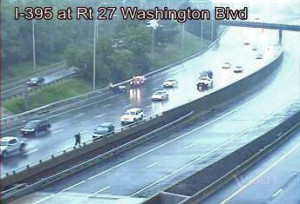
As seems to happen quite often during heavy rains, an accident has occurred on southbound I-395 just past Washington Boulevard.

Three vehicles were involved in the accident. One vehicle ran into the guardrail on the right side of the roadway, while the other two smashed into the barrier on the left side, blocking the lefthand lane.

Currently, only two lanes are getting by the accident scene, producing a small backup.

This curvy stretch of I-395 is particularly accident-prone during rain. We’ve reported at least three accidents there this year, one of which was a roll-over accident.


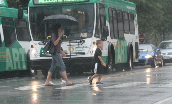
A line of heavy rain showers is on its way out of moving through the area, leaving behind big puddles of water on local roads. Meanwhile, more rain from the remnants of Tropical Depression Lee is expected tonight.

The National Weather Service issued a flash flood watch for the region earlier today.

… FLASH FLOOD WATCH REMAINS IN EFFECT THROUGH WEDNESDAY AFTERNOON…

THE FLASH FLOOD WATCH CONTINUES FOR

* THE WASHINGTON AND BALTIMORE METROPOLITAN AREAS… NORTH-CENTRAL AND LOWER SOUTHERN MARYLAND… AND NORTHERN AND CENTRAL VIRGINIA.

* THROUGH WEDNESDAY AFTERNOON

* GULF AND ATLANTIC MOISTURE ASSOCIATED WITH THE REMNANTS OF TROPICAL DEPRESSION LEE WILL CONTINUE TO INTERACT WITH A NEARLY STATIONARY BOUNDARY… PRODUCING WIDESPREAD RAIN ACROSS THE AREA. ADDITIONAL RAINFALL AMOUNTS THROUGH WEDNESDAY WILL AVERAGE 1 TO 2 INCHES… WITH ISOLATED AMOUNTS OVER 3 INCHES POSSIBLE. HEAVY RAIN MAY CONTINUE WEDNESDAY NIGHT AND THURSDAY.

* VERY HEAVY RAIN MAY CAUSE RAPID RISES IN CREEKS AND STREAMS… AS WELL AS SIGNIFICANT PONDING IN URBAN AREAS. DO NOT DRIVE THROUGH ROADWAYS COVERED WITH WATER.

PRECAUTIONARY/PREPAREDNESS ACTIONS…

A FLASH FLOOD WATCH MEANS THAT CONDITIONS MAY DEVELOP THAT LEAD TO FLASH FLOODING. FLASH FLOODING IS A VERY DANGEROUS SITUATION.

YOU SHOULD MONITOR LATER FORECASTS AND BE PREPARED TO TAKE ACTION SHOULD FLASH FLOOD WARNINGS BE ISSUED.


A flash flood watch has been issued for Arlington and the rest of the D.C. region due to showers and thunderstorms expected to arrive in the area later today.

The National Weather Service says one to two inches of rainfall can be expected in a short period of time.

FROM NOON EDT TODAY THROUGH THIS EVENING

* SHOWERS AND THUNDERSTORMS WILL DEVELOP TODAY… AND BE NUMEROUS TO WIDESPREAD THIS AFTERNOON INTO EARLY THIS EVENING. A FEW OF THESE THUNDERSTORMS WILL BE CAPABLE OF PRODUCING HEAVY RAINFALL. WIDESPREAD RAINFALL AMOUNTS OF ONE TO TWO INCHES CAN BE EXPECTED IN THE INTERSTATE 95 CORRIDOR THROUGH THIS EVENING. HOWEVER… A BAND OF HEAVIER RAINFALL… PRODUCING RAINFALL IN EXCESS OF TWO INCHES IN JUST A COUPLE OF HOURS… WILL BE POSSIBLE.


View More Stories