Drivers stranded in the snow on the GW Parkway in January 2011 (photo courtesy Steve Buttry)

The National Park Service is warning commuters of potential shutdowns of the GW Parkway in the event of winter weather

The northern portion of the George Washington Memorial Parkway will close in advance of storms forecasting two or more inches of snow and any amount of freezing rain or ice, NPS said in a press release Wednesday. The road will close four hours before the forecasted start of the storm and drivers will need to seek alternate routes.

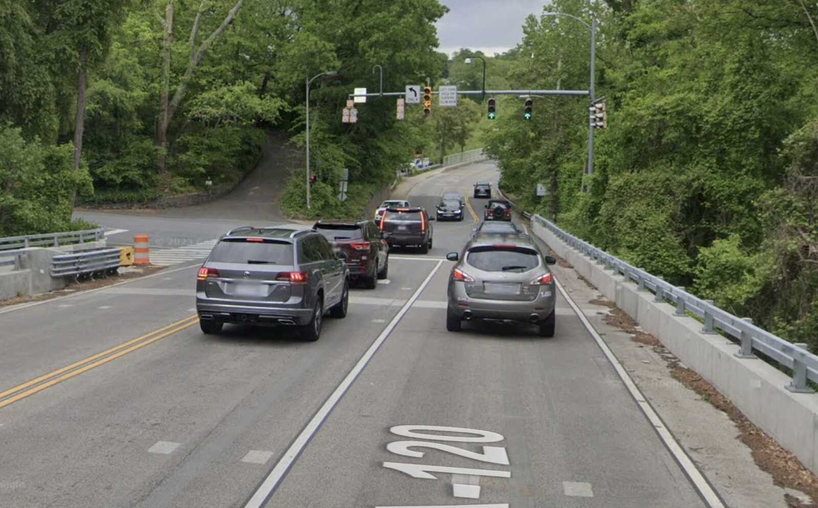
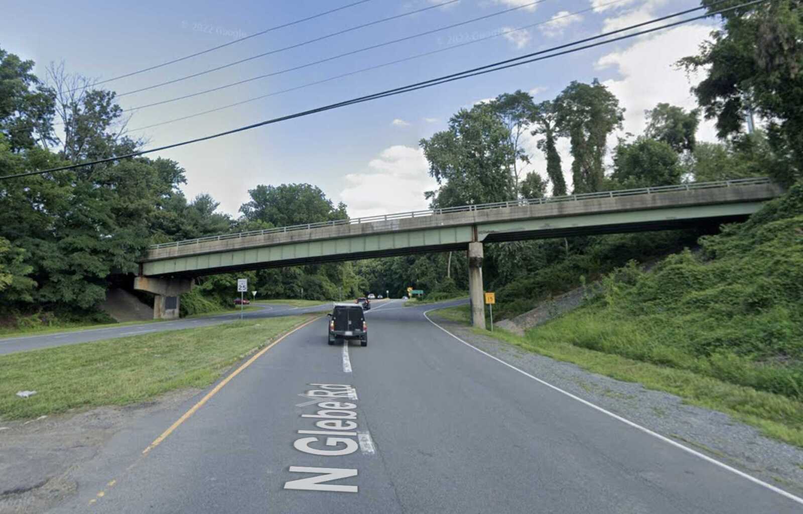
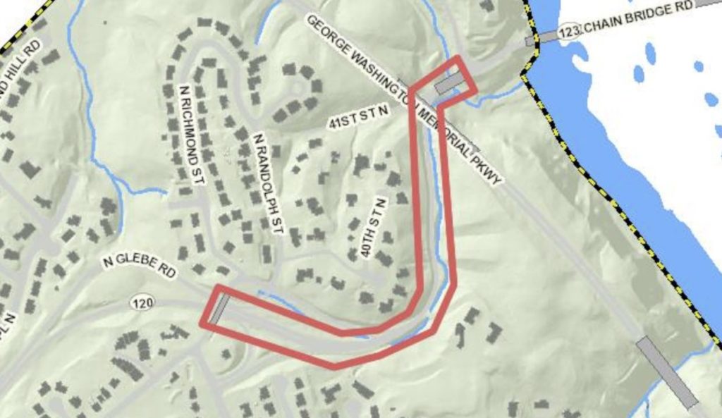
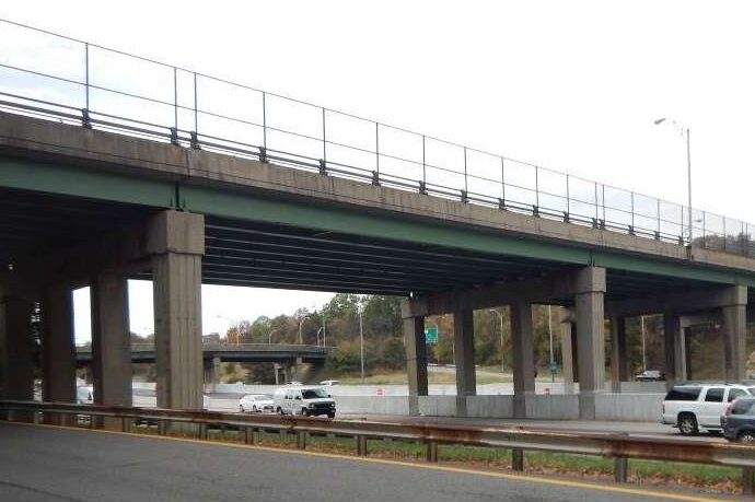
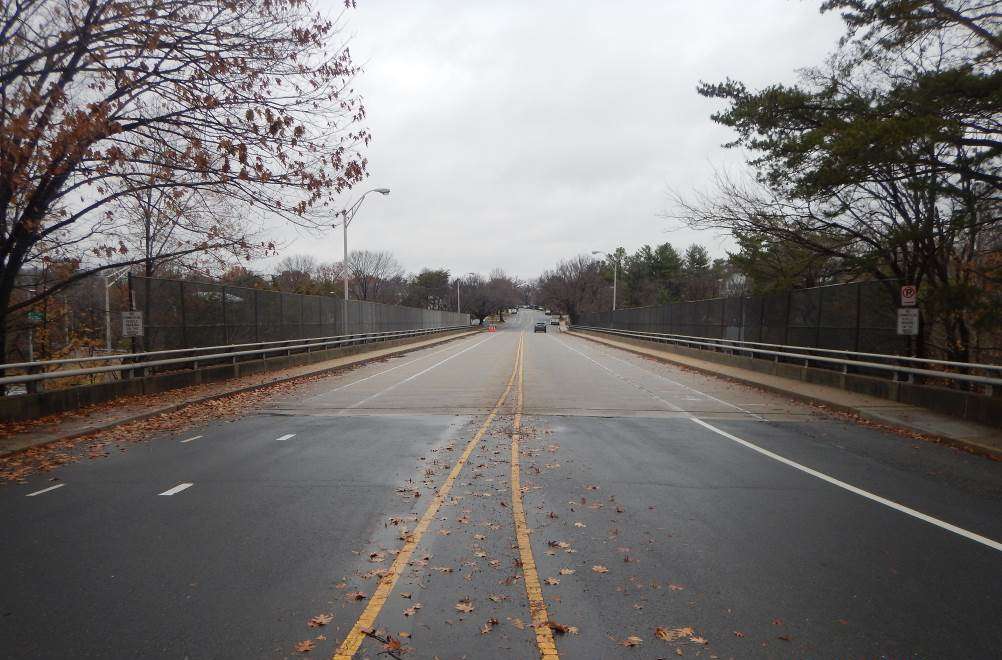
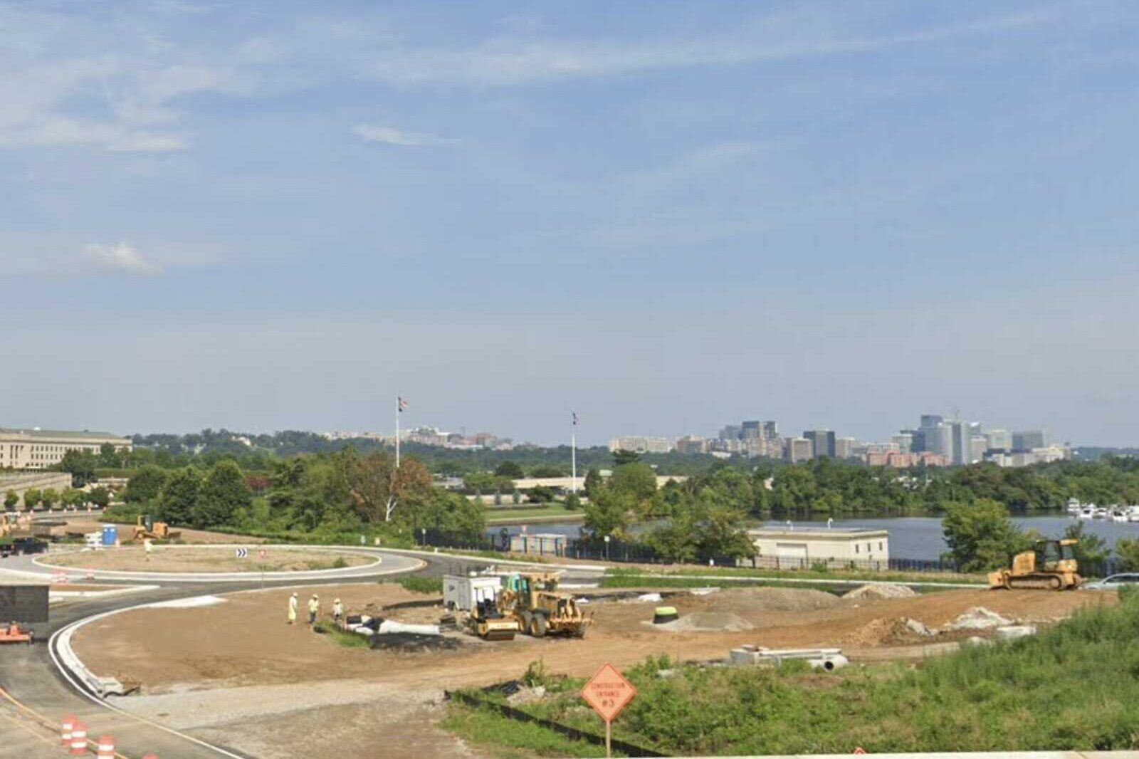
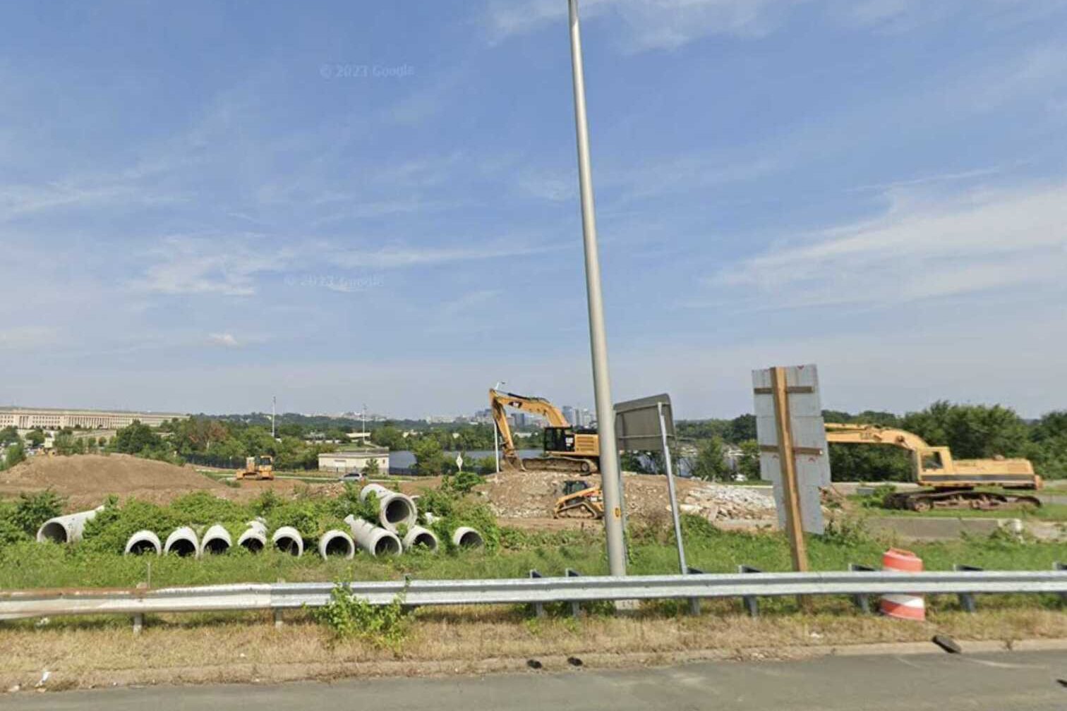
The announcement comes amid construction on the ongoing North Parkway Rehabilitation Project, which has resulted in narrower lane widths and a reversible-lane traffic pattern. The work is taking place between Spout Run Parkway in Arlington and the Beltway.

“Bad weather could shift the reversible lane schedule or close the parkway,” the park service said. “The NPS will pre-treat roads, however treating the road and removing snow will take more time because snow removal crews need to use smaller equipment to fit in the narrower lanes.”

Drivers should also expect delays in reopening the northern section of the parkway while crews clear snow and treat other sections of the parkway and park areas, the release noted. NPS urged drivers to follow traffic signs and the 40 mph speed limit.

The rehabilitation project was announced two years ago. The National Park Service and the Federal Highway Administration awarded a $161 million contract for the project “to improve driving experience, safety and water drainage while retaining and reviving the historic beauty and significance of the parkway.”

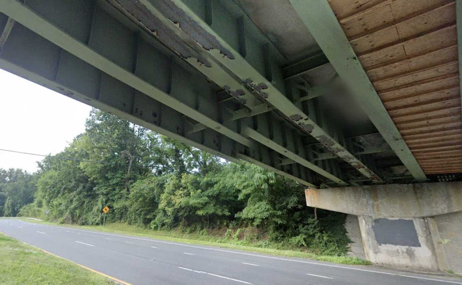
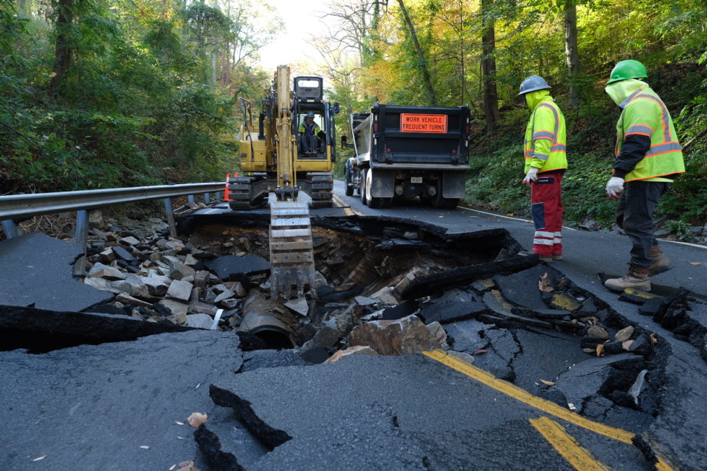
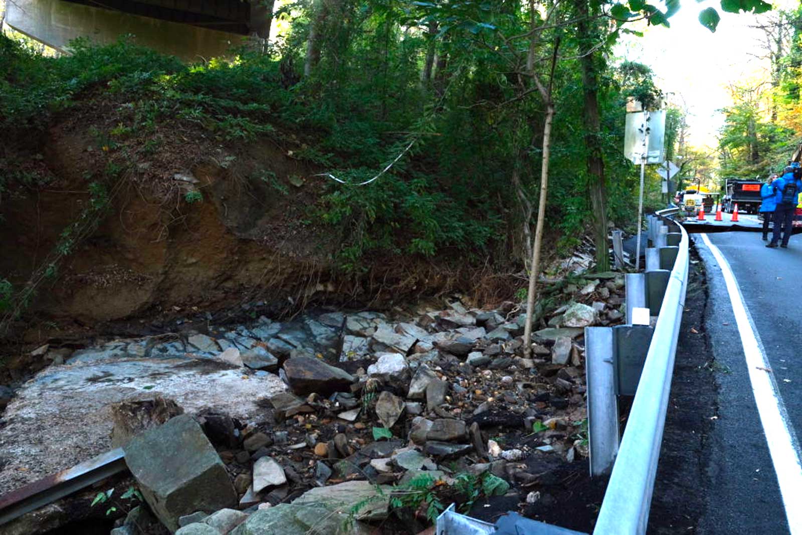
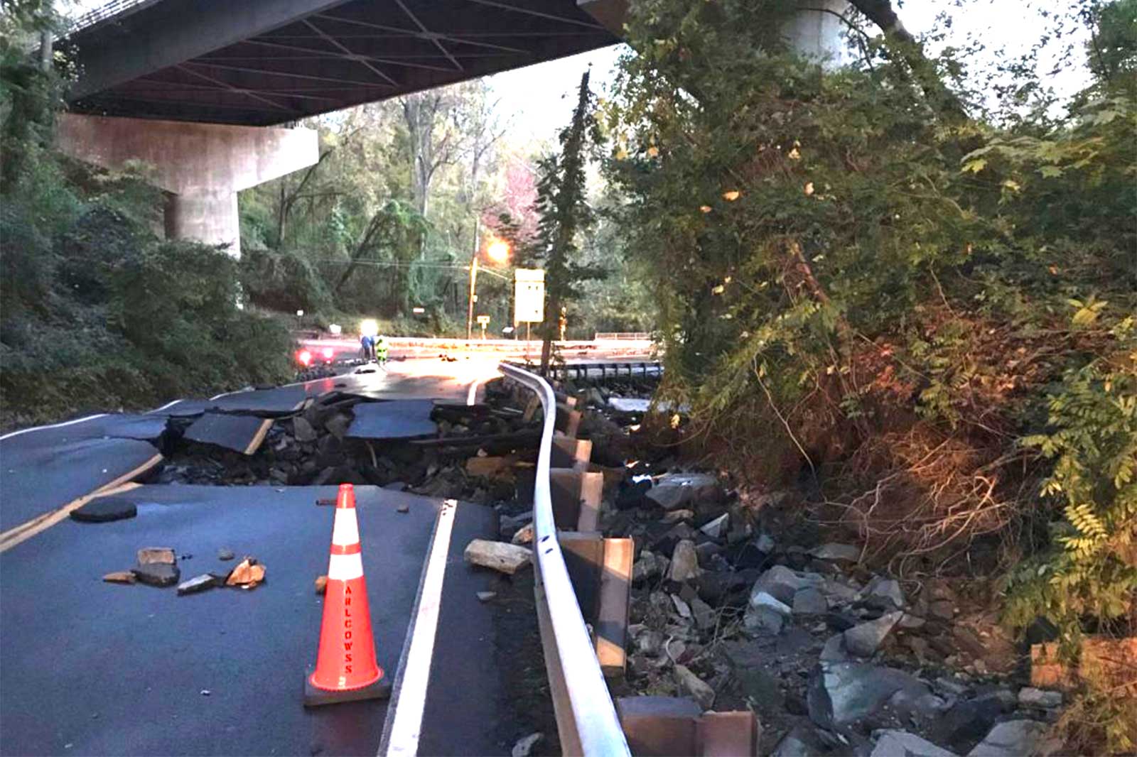
The northern section of the parkway has seen frequent potholes and other rough driving conditions, in addition to occasional sinkholes prompting full closures. Weather has also prompted closures in the past, stranding drivers during snowstorms and blocking the parkway with fallen trees during summer storms.

More, below, from the National Park Service.

As winter approaches, construction on the North Parkway Rehabilitation Project continues with narrower lane widths and a reversible-lane traffic pattern. Bad weather could shift the reversible lane schedule or close the parkway. Drivers should be aware of the following and plan accordingly. The northern section of the parkway:

  • Will close for storms forecasting 2 or more inches of snow or any amount of freezing rain or ice. The road will close 4 hours before the forecasted start of the storm. Drivers will need to seek alternate routes.
  • Will remain open for storms forecasting fewer than 2 inches of snow and no freezing rain or ice.

The NPS will pre-treat roads, however treating the road and removing snow will take more time because snow removal crews need to use smaller equipment to fit in the narrower lanes. Drivers should expect delays in reopening the northern section of the parkway while crews clear snow and treat other sections of the parkway and park areas. Throughout the project, drivers should observe traffic signs, respect the 40-mph speed limit, expect delays through narrow travel lanes and seek alternate routes. Commercial vehicles are always prohibited from using the parkway.

Where to find more information 

Closure and re-opening information will be shared with GWMP Rehabilitation project news subscribers. Drivers can view construction updates and opt-in to receive emails about traffic impacts, meetings and major project milestones. Updates about road closures may also be posted on social media.


Arlington Public Schools is poised to tie planned S. Walter Reed Drive upgrades into its $180 million Arlington Career Center project.

This past Saturday, the Arlington County Board approved a memorandum of agreement permitting APS to appoint the same contractor for the Career Center’s construction to handle the road improvements — part of the county’s Neighborhood Complete Streets program — from 5th Street S. to Columbia Pike.

Next, the agreement will head to the Arlington School Board for approval in January.

The upgrades to S. Walter Reed Drive will include new trees, protected bike lanes, a traffic light at the 9th Street S. intersection and improved bus stops. The community broadly supported these enhancements following a series of public feedback sessions held from fall 2020 to spring 2021, per a county staff report.

Currently, construction of the five-story Career Center at 816 S. Walter Reed Drive, slated to start next spring, is set to overlap with the road work. County and school officials agreed to merge the two projects to avoid traffic congestion and construction snags.

“So, essentially, when you have two contractors trying to work in the same place at the same time, somebody gets delayed,” APS Director of Design and Construction Jeffrey Chambers told School Board members during their meeting last Thursday.

Under the plan, the county will foot the bill for the road work, estimated at $7 million, and reimburse APS for any extra administrative costs, the report said.

APS is not required to contribute financially to the road improvements. Still, it must inform the county of any additional expenses due to construction delays. Should the road work exceed its budget, APS must obtain county approval before proceeding.

The bulk of the road work is expected to be completed within the first year of construction, with the final paving and overlay scheduled just before the Career Center opens in August 2026, Chambers said last week.

The funding for the S. Walter Reed Drive road improvements has already been earmarked in the county’s Capital Improvement Plan.

APS is still in the process of securing a contractor for the Career Center, which will host up to 1,619 students and include a four-story parking garage.

Officials plan to present the combined bids for the Career Center construction and road improvements to the County Board in early 2024. The Board will then approve the fund transfer and any additional construction financing.


A nearly $20 million project to make Boundary Channel Drive and the I-395 interchange near Crystal City and the Pentagon safer has resulted in significant traffic pattern changes.

Last week, the Virginia Dept. of Transportation permanently closed two ramps: the southbound I-395 ramp to eastbound Boundary Channel Drive and the eastbound Boundary Channel Drive ramp to southbound I-395.

The closures will allow VDOT to reconfigure the ramps between I-395, Boundary Channel Drive and Long Bridge Drive.

The traffic pattern changes are the next step in a multi-year project to upgrade this area for drivers and make pedestrian and cycling improvements nearby. After two years of design work, construction began in September 2022 and will continue through early 2024.

“The project aims to improve safety and operations on that stretch of southbound 395,” Mike Murphy, a spokesman for VDOT, told ARLnow. “One such way is closing those two ramps in order to eliminate and mitigate some of the weaving areas, or spots where you have vehicles trying to get on southbound 395 mixing with vehicles trying to get off.”

The ramp closures will require drivers to do the following:

  • Southbound I-395 drivers must now use Exit 10A to access both westbound and eastbound Boundary Channel Drive via the western roundabout.
  • Eastbound Boundary Channel Drive drivers must now use the western roundabout to access southbound I-395 via the same loop ramp used by westbound Boundary Channel Drive drivers to access southbound I-395.

Ahead of the closure, public safety watchdog Dave Statter posted to social media a highlight video of the notorious section of highway.

Here, reckless drivers could be seen backing up, crossing multiple lanes of highway traffic and pulling other stunts to circumvent bollards and access the left-hand ramp to Route 1.

The video included several memorable moments over the last two years, including when an Oscar Mayer Wienermobile and a Metro bus both tried the maneuver.

Statter and his videos got a shout out from VDOT as part of the closure announcement.

Statter also observed that the Boundary Channel Drive onramp, set to close at 5 a.m. on Friday, made it through one more rush hour.

“Did the governor give a short reprieve on the death sentence for the Boundary Channel ramp to I-395S?” he said on X, the platform formerly known as Twitter. “Besides @VaDOTNOVA crews, this bus and contractor’s van appear to be the last vehicles on the ramp just before 8:45 a.m.”

Murphy confirmed that the ramp from southbound I-395 to eastbound Boundary Channel Drive — the one with the green overhead sign saying “Exit 9 to Clark St” — closed around 4:30 a.m. on Friday. The ramp from eastbound Boundary Channel Drive to southbound I-395 closed around 8:45 a.m. Friday.

(more…)


The Westmont construction site on Columbia Pike (staff photo by Jay Westcott)

Despite weathering the pandemic, small businesses along Columbia Pike are now facing a new set of economic challenges, including rising rent, inflation, new developments and ongoing road work.

Deputy Director of the Columbia Pike Partnership Amy McWilliams sat down with ARLnow’s James Jarvis to delve into the economic hurdles that these small businesses are still confronting, nearly four years post-pandemic. McWilliams offers insight into the enduring strength of the small business community, emphasizing its continued resilience.

Listen below or subscribe to the podcast on iTunesSpotifyStitcher or TuneIn.


The Arlington intersection just before Chain Bridge is set for some upgrades.

The proposed $1.1 million project “focuses primarily on upgrading the outdated traffic signal at the intersection of North Glebe Road and Chain Bridge Road as well as installation of a reversible lane control system to improve safety for vehicles approaching and travelling over Chain Bridge,” according to a report to the Arlington County Board.

The Board is set to vote on awarding the contract to M.C. Dean, Inc. at its meeting this Saturday.

“The project will also improve pedestrian safety and accessibility at the intersection by placement of ADA ramps and high visibility crosswalks,” the report adds.

The contract includes a $950,000 base and a $171,000 contingency.

This stretch of Glebe in Arlington’s far northern reaches has seen a number of construction projects lately, including a 2021 project to rehabilitate the bridge over Pimmit Run and the forthcoming restoration of a roadside ditch following a major water main break in 2019. Just up the steep, winding hill from Chain Bridge Road, VDOT is planning to replace the Old Glebe Road bridge in a few years.

Photo and map via Google Maps


(Updated 9:55 a.m.) A Capital Bikeshare station in Penrose was relocated Wednesday to free up more street parking in response to concerns about safety and illegal parking.

But some residents are unhappy about it.

“We fail to see how relocating the Bikeshare station will help with the illegal parking at Penrose Square, as those problems existed well before the Bikeshare Station’s installation in 2022,” Chris Slatt, president of Sustainable Mobility for Arlington County, told ARLnow.

Slatt — who also serves on Arlington’s Transportation Commission — argues relocating the bikeshare station two blocks away along S. Wayne Street won’t solve the numerous traffic and safety-related issues that have plagued the square.

Instead, he says it will make “life more difficult for people choosing not to drive to the area, such as Bikeshare users.”

The planned relocation is meant to address “double-parking from pick-up/drop-off traffic at one of the Penrose Square retailers,” Arlington Dept. of Environmental Services spokesperson Claudia Pors wrote in an email.

“In the new configuration, the curbside lane next to the retailers will be turned into 15-minute pick-up/drop-off (PUDO) parking, and travel lanes will shift toward the west side,” she said.

The county did not specify which retailer it was referring to. However, Slatt and a nearby business owner previously noted that the illegal parking issue worsened after the Starbucks (2413 Columbia Pike) moved in eight years ago.

Pors said the plan is to move the bikeshare station back to Penrose Square in 2025 once Segment D of Columbia Pike Multimodal Improvements Project  — slated to start next week — is finished and the “station is determined safe to move to this final location.”

Pors said the S. Wayne Street location was chosen because of adequate sidewalk width, continuous sunlight — used to power the bikeshare station — and its proximity to public space.

The station’s new permanent location has not been confirmed, but Pors said the county is seriously considering “the grassy area in front of the wall at the south end of the plaza, near the Burrito Bros.”

Construction prevented the station being moved there now.

“Segment D construction will at times close sidewalk access in front of the plaza and narrow travel lanes on the Pike, which could add a pinch point or prevent people from accessing the Bikeshare station,” Pors said.

While Slatt says he generally supports moving short-term parking for vehicles to the other side of S. Barton Street, he disagrees it should come at the cost of the bikeshare station.

“This location was chosen in 2022 through a community conversation and online survey which indicated majority support for putting the station on Barton Street,” Slatt said, adding its proximity to the grocery store and park is more convenient than the new temporary location.

Slatt also voiced his frustration that residents were only told about the move last Wednesday, and there wasn’t enough time for the community “to comment, object, or suggest other solutions.”

Pors said the county typically does not “seek input on temporary relocations of Capital Bikeshare stations.” Moreover, she noted that relocating it to privately owned spots in the plaza would have been more time-consuming process, whereas moving the station to S. Wayne Street was more convenient because it’s a public space.

Penrose resident Christiann MacAuley — also opposed to the relocation of the bikeshare station — said she thinks there may have been “some miscommunication” between the county and residents.

“It’s surprising was that apparently ‘the community’ was consulted, but none of the transportation or bike people in the neighborhood seem to have heard anything about it,” she told ARLnow.

Either way, MacAuley said, “it’s hard to imagine how the new plan will fix any of our traffic problems here.”

Those problems, as documented by a local resident on social media, include drivers making illegal U-turns, double parking, and making other unsafe driving maneuvers while rushing to pick up their orders at Starbucks.

Slatt said Starbucks should put up signs encouraging customers to instead use the garage, which offers an hour of free parking. He also advocated for more parking enforcement in the area.


A nearly 60-year-old bridge over N. Glebe Road is slated for replacement.

The circa-1964 Old Glebe Road bridge, which spans the north-south artery just before the steep hill down to Chain Bridge, would be too costly to repair, VDOT says. The state transportation agency is instead planning a $15 million project to replace it.

About 7,000 vehicles per day use the bridge, VDOT says. A virtual public meeting is planned this Wednesday at 7 p.m. to discuss the project.

VDOT’s current timeline calls for a public meeting late next year to discuss the design of the new bridge, followed by construction starting in mid-2027.

More, below, from a VDOT email.

The Virginia Department of Transportation will hold a virtual public information meeting Wednesday, Oct. 18 on the planned replacement of the North Old Glebe Road bridge over North Glebe Road (Route 120). The bridge, which averages 7,000 vehicles a day, was built in 1964.

A new bridge will be constructed due to the estimated rehabilitation cost of the existing bridge exceeding 65% of the estimated cost to replace the bridge.

The new bridge will feature a wider sidewalk on the eastern side and an additional sidewalk on the western side.

Get Involved

In lieu of an in-person meeting, VDOT invites residents and travelers to learn more, participate in the virtual meeting and give feedback in the following ways through Nov. 1:

  • Attend the Oct. 18 online meeting. Register for the meeting or to participate without registering in listen-only mode, call 844-992-4726 (use access code 2484-673-7292 and password 1234). The project team will make a short presentation beginning at 7 p.m. and answer questions after the presentation. In case an alternate date is needed, the meeting will be held Nov. 1.
  • Provide comments via the online comment form or by email to [email protected].
  • Mail comments to Ms. Dipali Patel, P.E., Virginia Department of Transportation, 4975 Alliance Drive, Fairfax, VA 22030.

Meeting materials and the presentation will be available online at virginiadot.org/OldGlebe, including the recorded presentation after the meeting.


A severely eroded ditch along N. Glebe Road near Chain Bridge is set for some restoration work.

The Arlington County Board this weekend is expected to approve a contract of up to $1.2 million. At least part of that will be reimbursed by VDOT, which maintains the road.

The work follows a major water main break in November 2019, which damaged both the road and the roadside ditch.

More from a county staff report:

This project includes the restoration of the existing ditch located along the south side of North Glebe Road (Route 120) that was severely eroded following the 36” transmission water main break in November 2019. Arlington County Department of Environmental Services (DES,) Virginia Department of Transportation (VDOT) and the National Park Service (NPS) have partnered to implement this improvement and restoration project. The restoration includes 500 feet of the ditch downstream of the water main break and stabilization improvements for 1,000 feet of the ditch upstream of the break to be improved with Class II riprap, as well as new guardrail installation to replace a previous guardrail and temporary jersey wall and restoration of the Potomac Heritage National Scenic Trail, which crosses this ditch in the downstream segment underneath George Washington Memorial Parkway.

The work also includes tree removal and planting/seeding, erosion and sediment control, and all other related incidental work described and required in the contract documents. Most of the work is planned to be performed at night utilizing an overnight road closure of North Glebe Road as outlined in the VDOT approved Temporary Traffic Control Plan. VDOT is reimbursing the County for the construction costs of the improvements located upstream of the water main break.

The report goes on to note that the county hired a consultant, Wetland Studies and Solutions Inc., to develop the repair plan.

Additionally, the report says the accepted bid — from Fairfax-based Bright Construction Group — is 13% higher than an engineer’s estimate, likely owing to complications caused by the rugged terrain and the work area being on both National Park Service and VDOT property.

…it is believed that the bidders perceived more risk and challenges in these bid items, which we consider fair given the unique challenges of this project area, where the contractor will be working on an actively flowing stream channel on NPS Lands, as well as within the narrow shoulder of a two-lane undivided VDOT-owned arterial roadway, North Glebe Road (US Route 120), that carries approximately 11,000 vehicles per day. For the work on Federal Lands and in VDOT right-of-way, the contractor will have to comply with restrictive NPS and VDOT permit requirements and perform all restoration as per each agency’s specifications.

The Board is scheduled to vote on the contract during its meeting this Saturday.


For years, parts of Columbia Pike have been under construction, resulting in wider sidewalks, newly-planted trees and underground utilities, among other changes.

Now, work on the penultimate phase of the years-long Columbia Pike Multimodal Street Improvements project is slated to begin in September, according to the county. Work could begin on the final phase early next year.

Starting in September, the county will upgrade the Pike’s streetscape, enhance transit infrastructure, replace aging water and sewer mains and bury utility lines between S. Garfield Street and S. Courthouse Road.

The final segment, from S. Courthouse Road to S. Quinn Street, could begin in early 2024 and wrap up in late 2025, according to Dept. of Environmental Services spokeswoman Claudia Pors.

A contract for this phase was approved earlier this summer, the Gazette Leader reported.

Streetscape improvements to the Pike have been ongoing for nearly two decades.

The first segment was completed back in 2009, Pors said. The next two segments were completed in 2015, one by the county and the other by the Virginia Dept. of Transportation.

Concurrently, the county also created “bike boulevards” parallel to the Pike, diverting cyclists from car-heavy corridor in advance of the planned, but never built, streetcar.

Last year, the county started working on improvements between S. Wakefield Street and S. Oakland Street and S. Orme Street and S. Oak Street. The federal government is handling similar upgrades east of S. Oak Street as part of its project to realign the road to accommodate the expansion of Arlington National Cemetery.

Columbia Pike Multimodal Street Improvement Project overview (via Arlington County)

Before getting started on the S. Garfield Street to S. Courthouse Road segment, county staff will hold pop-ups and open houses in the area to inform community members of the changes, Pors said.

She added that the team has not yet come up with a final work schedule, though work will likely be less intense than the currently under construction portion of the Pike between S. Quincy Street and S. Oakland Street.

Work hours will be Monday through Friday from 7 a.m. to 6 p.m. and Saturdays from 10 a.m. to 6 p.m., according to the county website.

“Residents should expect to see and hear dust, mud, noise, debris, and temporary traffic and parking restrictions,” the website says. “In locations where parking will be prohibited during work, no parking signs will be posted.”

“These roadway changes are essential for the contractors to construct a safer and more accessible Columbia Pike in an efficient and safe manner while maintaining access to residences and businesses along the corridor,” Arlington County says on its website.

This work has previously closed lanes on other stretches of the Pike and even resulted on the occasional rogue utility pole.


Work is underway to make a 53-year-old bridge S. Abingdon Street bridge over I-395 safer and extend its overall life, per the Virginia Dept. of Transportation.

The 53-year-old bridge is located between the I-395 interchanges for King Street and Shirlington Circle in the Fairlington neighborhood. It was last rehabilitated in 1994 and is in need of attention, according to a press release from the state transportation department.

The planned repairs will use $8.4 million in federal and state funding and will wrap up in late 2024, the press release said.

Work includes rehabilitating the bridge deck, repairing deteriorating concrete, replacing all steel bearings and eliminating bridge joints, per a project overview video.

Arlington County also identified S. Abingdon Street, from 34th Street S. to Fire Station 7, for resurfacing. It is coordinating with the state on those changes, including a buffered bike lane to improve the cycling experience and narrower travel lanes to manage vehicle speeds.

Bridge deck rehabilitation work will last about 12 weeks and occur in three stages, the video says.

In the first phase, all traffic will be shifted to the east side of the bridge, with two shared bicycle and traffic lanes and one five-foot-wide sidewalk. A temporary crosswalk will be added near 36th Street S. In the second phase, all traffic will be shifted to west side of the bridge.

In the third stage, traffic will be split on both sides of the work zones and the crosswalk will be removed.

“When one sidewalk along the bridge is closed, pedestrians will be detoured to the sidewalk on the opposite side,” VDOT said in the press release. “Drivers, bicyclists and pedestrians are reminded to use caution when traveling in active work zones. Be alert to new traffic patterns and limit distractions.”

The I-395 main and express lanes may see periodic daytime and overnight lane closures, VDOT says.

“Most of the work below the bridge will be performed during nighttime operation to avoid impact to normal daytime traffic particularly peak hour traffic,” the project video says.


Transportation and streetscape upgrades are making progress on several streets in Courthouse near an under-construction apartment tower.

The work is all associated with “The Commodore,” an new apartment building at 2050 Wilson Blvd. It replaces several low-slung commercial buildings, including restaurants like Summers, that were part of what Arlington County dubbed the “Landmark Block.” Today (Tuesday), fencing around the tower was festooned with banners announcing leasing would start this fall.

Developer Greystar is redoing a handful of streets nearby as part of the community benefits package associated with the project.Arlington County delegated some street upgrade work to Greystar in early 2022, saying it would be cheaper, easier and more efficient for the company to do the work as part of the apartment construction activity.

Today, pedestrians may notice fencing around a torn-up N. Uhle Street, which separates the Courthouse Metro station and the “Landmark Block.” This street previously had street trees, lighting and parking spaces.

An aerial view of the pedestrian promenade on N. Uhle Street (via Arlington County)

Eventually, it will become a long-envisioned pedestrian promenade leading to the Courthouse Metro station.

The block will have public seating lined with shade trees, lighting and landscaped planting beds, potentially bookended by public art.

The future N. Uhle Street pedestrian promenade (via Arlington County)

Nearby, 15th Street N. looks freshly repaved and is partly blocked off to vehicle traffic by jersey barriers, cones and caution tape. Signs along this street announce temporarily relocated bus stops.

It will become a curbless street shared by pedestrians, cyclists and drivers, featuring a “slow speed configuration” to increase the safety of users.

Clarendon Blvd, Wilson Blvd and N. Courthouse Road will get wider sidewalks, new pedestrian crossings, protected or dedicated bike lanes, widened medians and new trees and planted beds. The county parking lot entrance from 15th Street N. will be relocated, as well.

Greystar is also relocating existing and installing new traffic infrastructure, adding a “bike island” at the intersection of 15th Street N. and Clarendon Blvd and a new water main under N. Courthouse Road.

Those who want to know the latest vehicle and pedestrian traffic impacts can subscribe to a county newsletter for the area.

Two blocks away, construction is also continuing on the former Wendy’s lot, another Greystar project. The former fast food joint is being replaced with an apartment tower, ground-floor retail and a plaza at 2025 Clarendon Blvd, — as approved in March 2022. Together, the two projects realize a significant part of the county’s vision for the neighborhood.

This Wendy’s project will also result in transportation upgrades, such as bicycle amenities, new sidewalks and street trees, to Clarendon Blvd and Wilson Blvd.

Greystar declined to provide a construction update to ARLnow for this article.


View More Stories