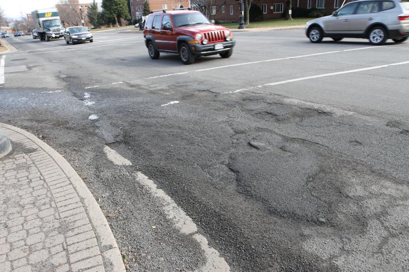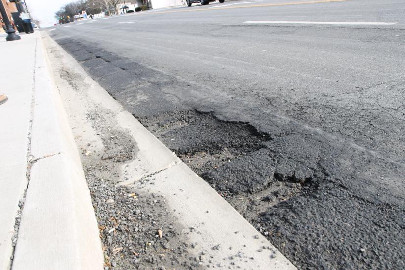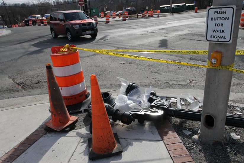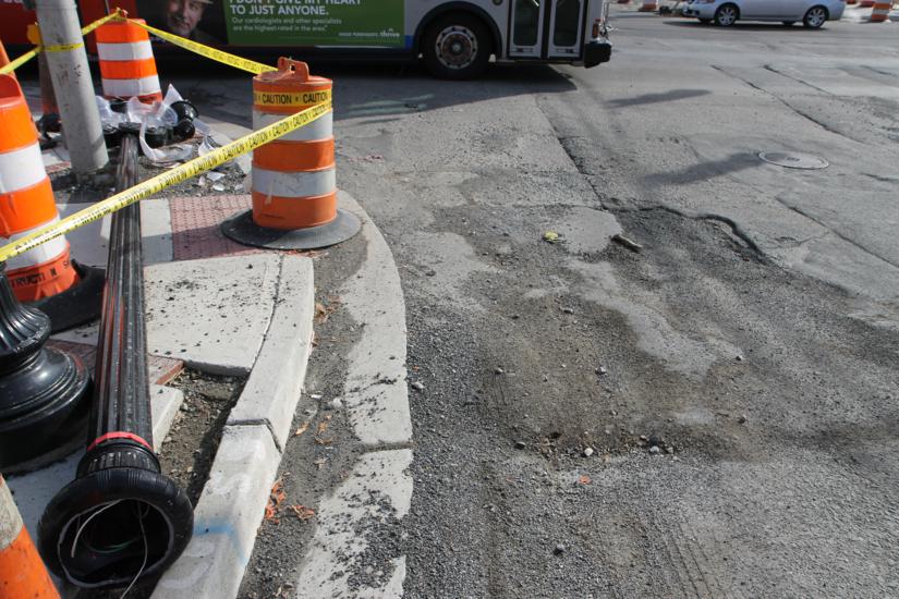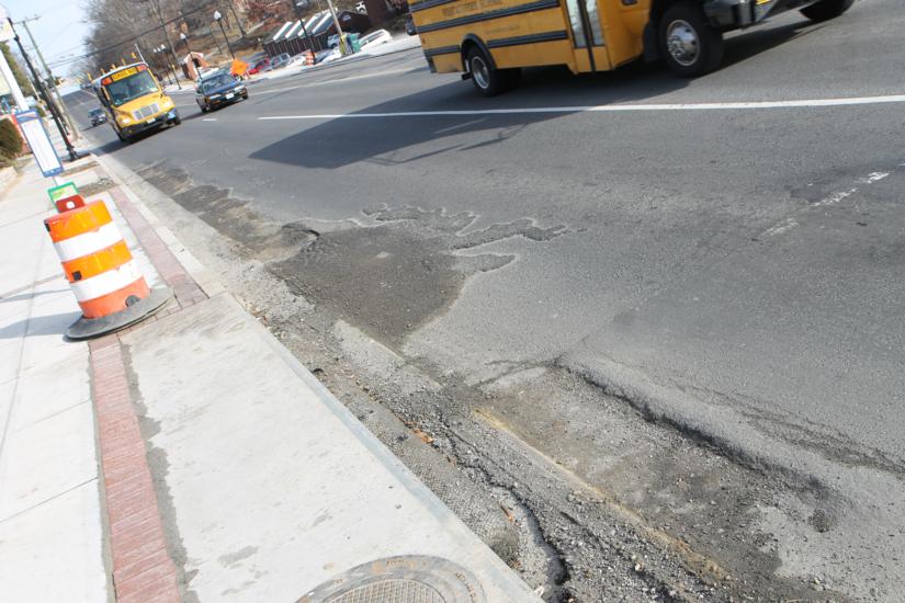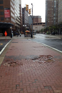
Crosswalk at Fairfax Drive and N. Stuart Street (courtesy photo)(Updated at 1:10 p.m.)The concrete, brick-like crosswalks that cross Fairfax Drive in Ballston and other main roads around Arlington are susceptible to disrepair and are more costly to fix than an average sidewalk.

The crosswalks, called “pavers,” were installed by the county on VDOT roads like Fairfax Drive, Lee Highway and Columbia Pike. They were built roughly 20 years ago as part of a county project to try to construct a brick-like crosswalk without material as fragile as the clay that bricks are made from.

“When brick sidewalks in old cities were in vogue, the industry developed concrete pavers as a flexible and durable surface for sidewalks that could adapt to tree roots without cracking and looked attractive in many areas,” county Department of Environmental Services spokeswoman Jennifer Heilman told ARLnow.com. “However, the heavy volumes of large vehicles such as what is typical of Fairfax Drive and most major arterials where Arlington has such crosswalks installed have made them very difficult to maintain as they’ve aged and become more prone to failure.”

Heilman said the crosswalks, like the one on N. Stuart Street crossing Fairfax Drive, captured by an ARLnow.com tipster in a state of disrepair on Tuesday, costs $20 per square foot to repair, which is four times the cost of repairing a standard concrete sidewalk.

Because of this winter’s extreme weather, the many crosswalks have been repaired with asphalt, like the ones at Lee Highway and N. Military Road and Columbia Pike at S. Walter Reed Drive. In high-density areas like Ballston that see a comparatively high volume of car and foot traffic over the crosswalks, developers and property owners contribute to the repair of the crosswalks through a county pedestrian maintenance program.

The crosswalk above, however, was repaired quickly by the county because it’s near a major transit hub. Heilman said there are 70 crosswalks with concrete pavers in the county at 35 intersections, but there are no plans to install any more in the future. Residents can report crosswalk failures to DES online.

Courtesy photo


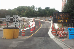
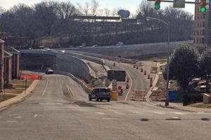
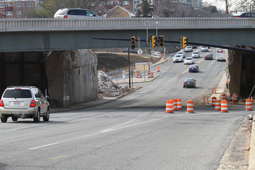
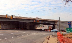
Bridge from Courthouse Road to EB Route 50 now openSeveral ramps that have been under construction for years as part the Route 50, N. Courthouse Road and 10th Street N. interchange project are scheduled to open later this month.

The ramps from 10th Street to eastbound Route 50 and from N. Fairfax Drive to westbound Route 50, along with a new ramp from Courthouse Road to westbound Route 50, are scheduled to open Friday, April 25, according to Virginia Department of Transportation spokeswoman Jennifer McCord.

The westbound frontage from Route 50 to 10th Street N. will still have barriers on it but will open a few weeks later, McCord said.

There will still be some intermittent lane closures on Route 50 until the project wraps up by July, McCord said. The $39 million interchange began construction in April 2011 and was originally scheduled to be completed by fall of 2013, but the project was delayed, apparently to make sure traffic could continue to flow on Route 50 during construction.

File photo


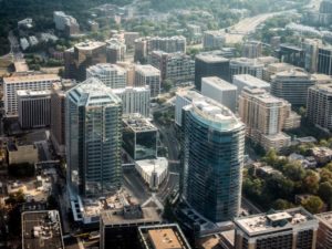
Aerial view of Rosslyn (Flickr pool photo by @ddimick)The County Board will hold public hearings next month on a framework for the future of Rosslyn.

The Rosslyn Sector Plan update — the product of the Realize Rosslyn community planning efforts over the past 15 months — is expected to be adopted by the end of this year, but before that the County Board must hold hearings and approve a framework for the plan. That’s expected to happen next month, after the Board voted to advertise the hearings at its meeting on Tuesday.

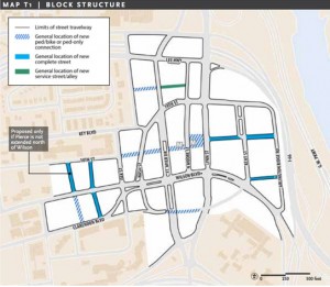
Among the biggest changes that could be coming in Rosslyn if the plan is approved is extending 18th Street N. as a pedestrian and bike corridor through Rosslyn’s main stretches — with intersections at Nash Street, Fort Myer Drive, Moore Street and Lynn Street before connecting with N. Arlington Ridge Road — making Fort Myer Drive and Lynn Street two-way roads and removing the tunnels underneath Wilson Blvd.

In addition, the plan will call for utilizing ground floor space for uses other than retail in areas where it would be difficult for stores or restaurants to survive; revitalizing Freedom Park and implementing “active recreational opportunities” in Gateway Park; and increasing housing density in central Rosslyn.

The Realize Rosslyn panel, made up of residents, property owners and government officials, has a stated goal giving Rosslyn a “vibrant 18/7 street life.”

Rosslyn Sector Plan framework mapThe proposed 18th Street N. corridor was one of the issues that generated a rift between property owners, specifically the owners of the Ames Center (1820 N. Fort Myer Drive) and Monday Properties, which owns several buildings in Rosslyn including the new, vacant 1812 N. Moore Street skyscraper.

The owners of the Ames Center, in a letter from land use attorney Tad Lunger, said Monday Properties is trying to unduly influence certain aspects of Realize Rosslyn. Lunger said the Ames Center, which houses the Art Institute, is planning on redeveloping into two buildings on either side of the planned 18th Street extension in a straight line from the current 18th Street. Monday Properties’ site plan for the redevelopment of 1401 Wilson Blvd and 1400 Key Blvd moves that alignment to the north, Lunger said.

“We are concerned that Monday Properties’ site plan application will preempt the planned alignment of 18th Street before the Rosslyn sector plan update is ever adopted,” Lunger wrote. “The Realize Rosslyn process should guide the Monday Properties site plan, not the other way around.”

Monday Properties President and COO Tim Helmig fired back at Lunger, calling the claims “accusations,” but saying “I will not comment at this time on the specific suggestions and objections in the Lunger Letter.”

“I believe it is without basis to insinuate that Monday Properties role [sic] on the Process Panel has perpetuated a conflicting proposal,” Helmig wrote in a letter to the County Board. “The efforts of Monday Properties as an applicant are in stark contrast to the unfair characterizations within the Lunger Letter.”

Flickr pool photo (top) by ddimick


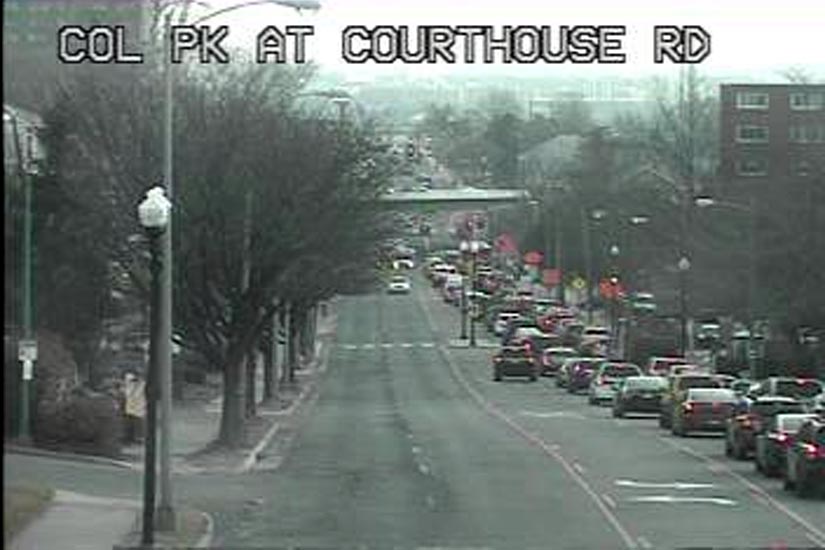
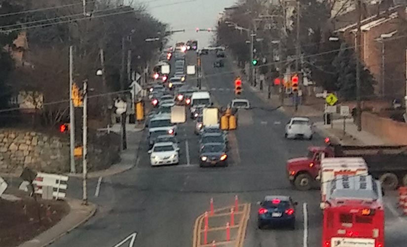
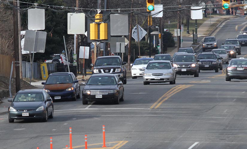
Morning rush hour traffic on Columbia Pike has gone from bad to worse thanks to a new traffic pattern at the Washington Boulevard interchange, drivers tell us.

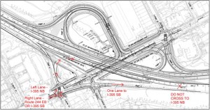
Two weeks ago VDOT, as part of its Route 27/244 interchange project, altered the traffic pattern for vehicles heading eastbound on Columbia Pike. Drivers heading toward northbound I-395 now have to turn left at the traffic signal on S. Quinn Street, whereas before northbound and southbound traffic could both take the right-hand ramp that also leads to southbound I-395.

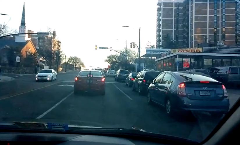
Traffic pattern change at the Columbia Pike/Washington Boulevard interchangeLast week, one reader told us the new traffic pattern was a “disaster,” with eastbound Pike traffic backed up to S. Courthouse Road at 7:45 a.m. Today (Wednesday), another reader said that traffic was backed up to S. Walter Reed Drive at 8:15 a.m.

“That is absolutely ridiculous,” said Thierry Driscoll, a Pike commuter who now uses S. Courthouse Road as a shortcut to Washington Boulevard. “There are cars backed up in the left lane of Columbia Pike waiting to take a left onto the Washington Blvd access ramp, but cannot because the access ramp is full.”

“There is no excuse for such a boneheaded design,” he continued. “This new pattern has inconvenienced a lot of people.”

Map of the planned Washington Boulevard/Columbia Pike interchangeDriscoll said it takes 10-15 minutes to get from the start of the backups to Washington Blvd.

VDOT spokeswoman Jennifer McCord says the current traffic pattern is temporary and will be in place for another 8-12 months while new ramps are built.

“We realize it’s slower for drivers trying to get to I-395N since they have to yield to the oncoming traffic,” she said. “Our folks… added as much time as possible to the left-turn signal” to alleviate some of the traffic.

“No more significant changes” are planned, said McCord. She advised using S. Glebe Road as a possible alternate route to I-395 for those heading from western portions of Columbia Pike.


Courthouse Road bridge closure(Updated at 2:15 p.m.) The ramp from N. Courthouse Road to eastbound Route 50 is scheduled to be closed during the day today, tomorrow and Thursday.

From 9:00 a.m. to 3:00 p.m., the ramp will be closed to traffic. It will be re-opened in time for the evening rush hour.

“Crews are completing a concrete median barrier here,” said VDOT spokeswoman Jennifer McCord. “Keep in mind it’s weather permitting… although scheduled I doubt there will be any work on Thursday this week.”

These closures are happening about a month before the ramp from eastbound Route 50 to the 10th Street N. bridge is expected to open, according to the Virginia Department of Transportation project page.

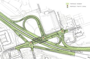
The $39 million is still projected to be completed by the middle of this year. The entire interchange will look different, with ramps to 10th Street N. and Courthouse Road from both EB and WB Route 50, and a signalized “T” intersection at Fairfax Drive and the Courthouse Road ramp.


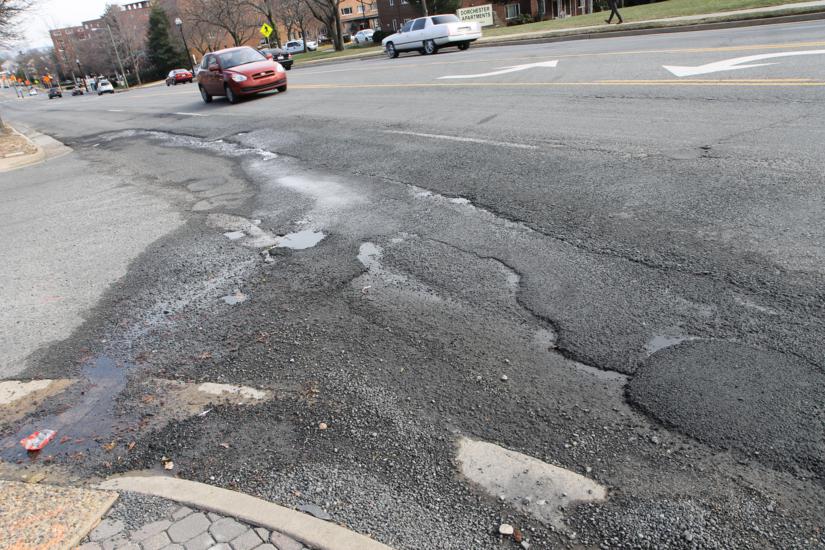
There’s little relief in sight for drivers and bus riders traveling down some rough portions of Columbia Pike.

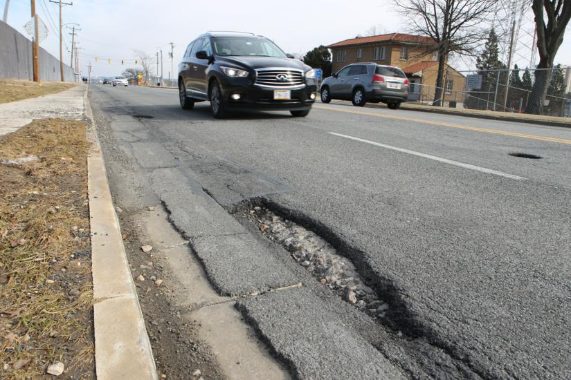
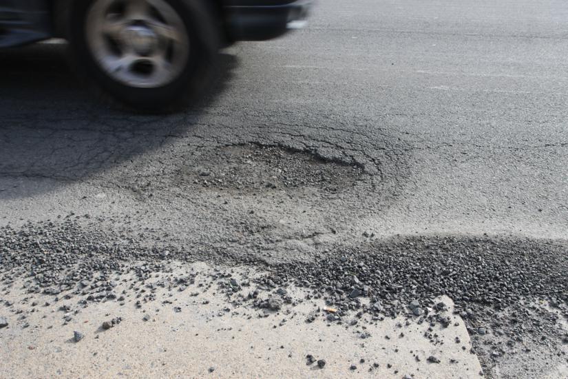
Arlington County is planning to finish repaving the section of the Pike from S. Wakefield Street to Four Mile Run Drive by April, but so far the county has no plans to repave the increasingly pockmarked eastern portion of the Pike, including the “Pike Town Center” business district, within the next six months. Potholes are expected to be filled by this spring, but a full repaving could be several years away.

“Over the next several years, Arlington County will continue with utility undergrounding and street improvement projects, which will include roadway paving in three areas on Columbia Pike: Four Mile Run Bridge to County Line, South Oakland Street to South Wakefield Street, and South Garfield Street to South Rolfe Street,” Arlington Dept. of Environmental Services spokeswoman Robyn Mincher tells ARLnow.com. As of last year, the streetscape improvement project was expected to run through 2018.

Apart from the Columbia Pike streetcar, which is a separate project, planned street improvements for the Pike include a repaved roadway, better pedestrian facilities, more street trees and planted medians. But for some Pike residents and business owners, those improvements are too slow in coming. 

“I do believe that the delays they are having with the transportation issues will eventually halt all momentum the Pike has had with growth,” said Sybil Robinson, who owns Twisted Vines Wine Bar and Bottleshop (2803 Columbia Pike). “Businesses that opened here with the promise of increased foot traffic and customer base may have to close since they’ve been just getting by for years now. We’re all trying to share the same small customer base that lives in the area. Once places start to close, you can forget new businesses coming here.”

Takis Karantonis, executive director of the Columbia Pike Revitalization Organization, says he appreciates the improvements but is worried about the “glacial pace” of some projects.

“While the driver’s experience on the Pike… is very challenging, it is the pedestrian realm what concerns us the most,” he said. “Utility undergrounding and streetscape improvements have been taking more time than anybody would have had anticipated. This is a challenge for everybody, but especially for businesses along our corridor… reliable timelines are of essence.”

Robinson said she’s heard complaints specifically about the rough roadway, but doesn’t actually think that particular problemn has has much of a direct impact on her business.

“We’ve definitely had customers complain about the road conditions, but as soon as they fix one problem spot, another pops up,” said Sybil Robinson, who owns Twisted Vines Wine Bar and Bottleshop (2803 Columbia Pike). “In terms of business impact, I don’t think it has hurt us too much. Most of our customers live on or near the Pike and the road conditions impact them on a daily basis going to and from work — so they know what to expect.”

Arlington County took responsibility for the maintenance of Columbia Pike from VDOT in 2010. John Antonelli, a Pike resident and an outspoken streetcar critic, says the county is shirking a neighborly duty by leaving the Pike in a state of disrepair.

“Arlington County has to understand that part of being a gateway community is to be a gateway,” he said. “Columbia Pike is a commuter road to the Pentagon and it behooves us as a good neighbor to ensure that our businesses and their employees and customers can get to and from as quickly as possible.”

“It’s a mess,” Antonelli added, about the Pike. “But it is more driveable now then it will be if they put the trolley in.”

One bit of good news for drivers is that VDOT is planning to repave Columbia Pike from S. Quinn Street to S. Orme Street next, as part of its Columbia Pike/Washington Blvd interchange project, according to VDOT spokeswoman Jennifer McCord.


Interchange of Columbia PIke and I-395 (via Google Maps)(Updated at 11:40 a.m.) Starting today, drivers heading eastbound on Columbia Pike toward I-395 will be following a new traffic pattern.

Drivers heading toward northbound I-395 will now turn left at the traffic signal on S. Quinn Street and bear right to merge onto the interstate, according to the Virginia Department of Transportation. Those going south will drive through the intersection with S. Quinn Street and use the ramp on the right.

That’s a change from before, when northbound and southbound traffic could both take the ramp. VDOT workers will be on the road today making the switch, which is expected to be complete by 5:00 p.m.

VDOT also announced that Columbia Pike will be closed to drivers between S. Queen Street and Orme Street each of the next three weekends as workers demolish the old Washington Blvd overpass. The closure will begin at 9:00 p.m. tomorrow night until 4:30 a.m. Monday, Feb. 3, and it will be closed again at the same times Feb. 7-10 and Feb. 14-17.

The demolition is the next phase in the $51.5 million Washington Blvd improvement project, still slated to be finished in the summer of 2015.

Photo via Google Maps


Traffic pattern change at the Columbia Pike/Washington Boulevard interchangeUpdate at 10:00 a.m. — VDOT says the change has been postponed: “Please note this new pattern has been postponed until January due to additional signal work. A new date for the shift will be announced soon.”

A new traffic pattern will be in effect at the under-construction Columbia Pike and Washington Boulevard interchange starting Thursday.

VDOT says drivers heading eastbound on the Pike will now have a different way of getting to northbound I-395 (toward the District). Now, instead of bearing right after the light at S. Quinn Street, drivers will need to wait to turn left at the light, onto a new ramp to Washington Boulevard.

Those heading to southbound I-395 will still bear right onto the ramp after S. Quinn Street.

“Work to complete the switch will take place between 9 a.m. and 5 p.m. Thursday,” VDOT said in a press release. “Message signs will be in place to notify drivers of the new traffic pattern.”

“This new access is part of the $51.5 million project to replace the Washington Boulevard bridge over Columbia Pike,” the press release continued. “The project will be complete in summer 2015.”

As part of the project, the new bridge over Columbia Pike opened last month.


Washington Blvd bridge over Columbia PikeNorthbound traffic on Washington Blvd is now going over the newly-constructed overpass over Columbia Pike.

The bridge, which has been under construction since 2012, was built to replace the previous structure. The old bridge was built in the 1940s as part of the original Pentagon Roadway Network and had been in “poor condition,” according to VDOT.

Construction on the project is still expected to wrap up at some point in 2015, according to VDOT’s project website.

Lane closures will continue on Columbia Pike into 2014 while the new bridge is finished and the old bridge is demolished. Demolition is expected to happen as soon as January.


N. Glebe Road and Lee HighwayConstruction is on the way to the intersection of Lee Highway and N. Glebe Road.

The Arlington County Board is expected to approve easement acquisitions to the northwest and southwest corners of the intersection at its meeting Saturday, which will allow the county to widen sidewalks and install bus shelters at the intersection.

The easement acquisition is the first step of wide-scale improvements coming to the intersection. Construction is expected to begin sometime in 2014, but there is no timeline yet, according to county Department of Environment Services spokeswoman Jennifer Heilman.

Among the changes coming to the intersection will be the installation of left-turn lanes on N. Glebe Road, four new bus shelters, and a new commercial entrance into the Rite Aid shopping center between Glebe Road and N. Albemarle Street. There will also be new streetlights, crosswalk markings and traffic signals installed.

The project is 50 percent designed and funded in partnership with the Virginia Department of Transportation.

Photo via Google Maps


Westbound I-66 at Westmoreland/Washington Blvd (file photo)The Virginia Department of Transportation announced that a second round of spot improvements along westbound I-66 will begin early next year.

The plan is to create a one mile long auxiliary lane by connecting the Washington Blvd on-ramp to the off-ramp at the Dulles Airport Access Road. Workers will also construct a new 12-foot wide shoulder with full-strength pavement capable of carrying traffic during emergencies. Today, VDOT awarded a $23 million contract for the project to The Lane Construction Corporation.

A similar project was completed in 2011, when the acceleration lane at the Fairfax Drive on-ramp was extended to the deceleration lane at the Sycamore Street off-ramp. That created a continuous lane that stretches for nearly two miles.

The improvements slated to begin next year are scheduled to be completed in the summer of 2015. A third, similar project is planned between Lee Highway and Glebe Road, but it is not yet fully funded.

VDOT will try to do most of the work overnight to minimize the impact on drivers. More details about lane closures and traffic impacts will be announced when the construction schedule is finalized.


View More Stories