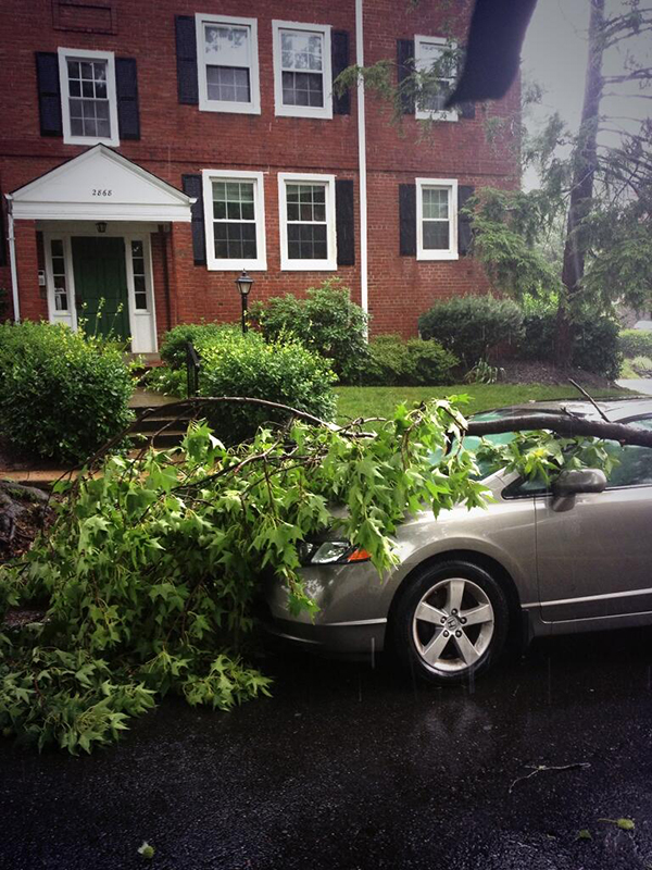
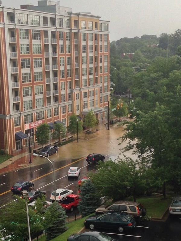
Keep an eye on the roads — the National Weather Service has issued a flood warning for Arlington through 6:30 p.m. tonight (Tuesday).

The weather service estimates the D.C. region could see up to two inches of rain in total tonight, though storms are supposed to move out of the area quickly.

The flooding has already prompted some road closures, including on the G.W. Parkway, which county police say is closed in both directions:

More from the NWS:

The National Weather Service in Sterling Virginia has issued a

* Flood Warning for…
The central District of Columbia…

Arlington County in northern Virginia…
Southeastern Fairfax County in northern Virginia…
The City of Alexandria in northern Virginia…

* Until 630 PM EDT.

* At 329 PM EDT, Doppler radar indicated thunderstorms producing
heavy rain which will cause flooding. Up to one inch of rain has
already fallen. Additional rainfall amounts of up to one inch are
possible.

* Some locations that may experience flooding include…

Arlington, Alexandria, Annandale, Springfield, Fort Washington,
Fort Hunt, Groveton, Falls Church, Huntington, Mantua, Fort
Belvoir, Nationals Park, Gallaudet University, Reagan National
Airport, Rosslyn, Crystal City, RFK Stadium, Burke, Lincolnia and
Lorton.


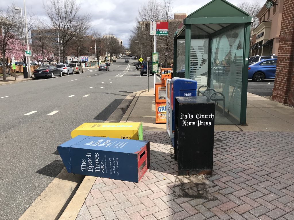
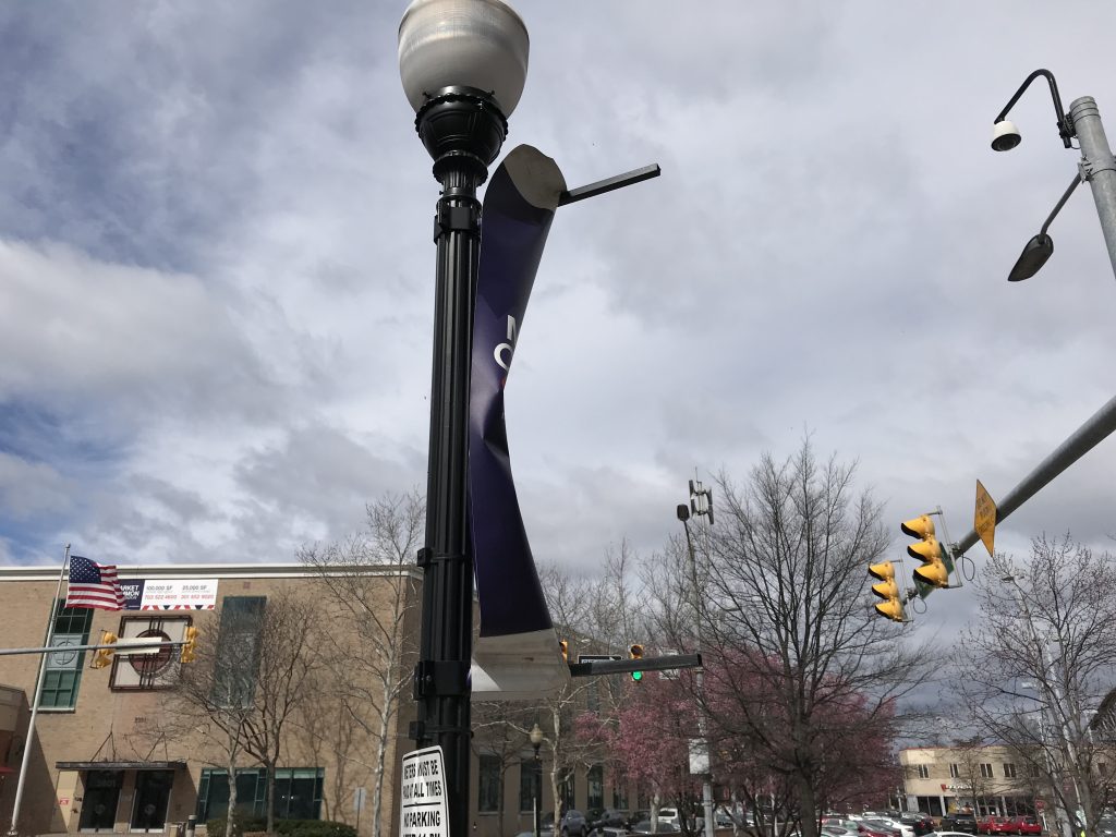
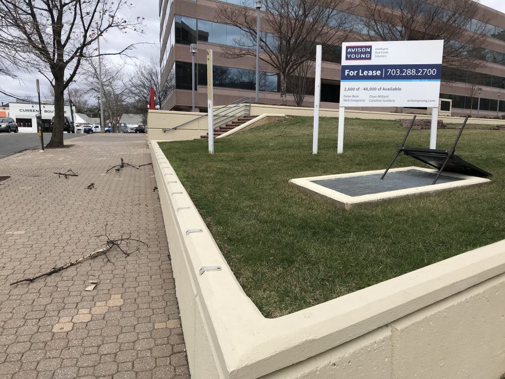
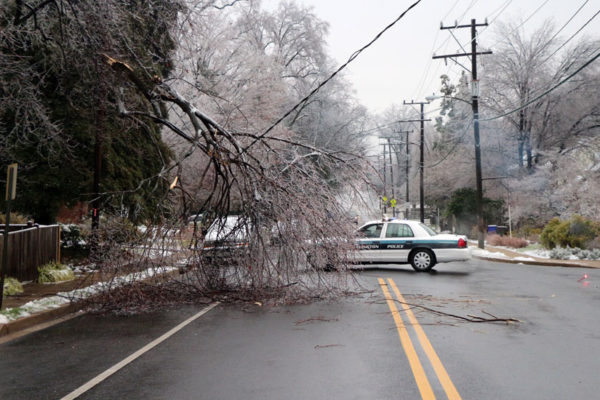
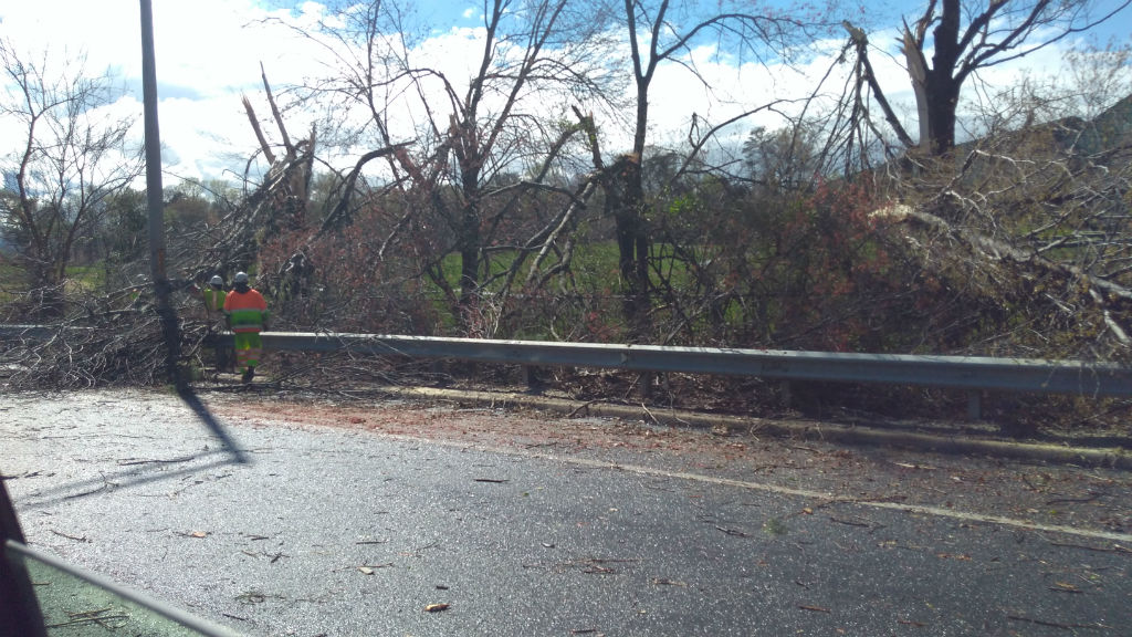
(Updated at 7:35 p.m.) Friday’s wind storm has taken a toll on Arlington, sending trees toppling onto cars, houses and across roads, and knocking out power to tens of thousands.

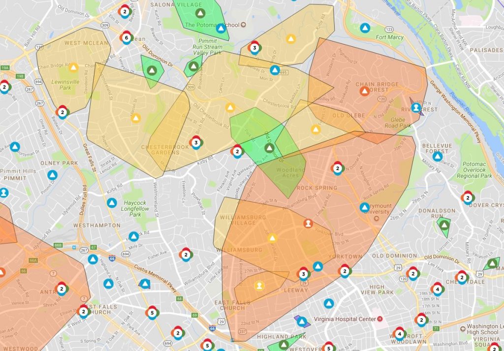
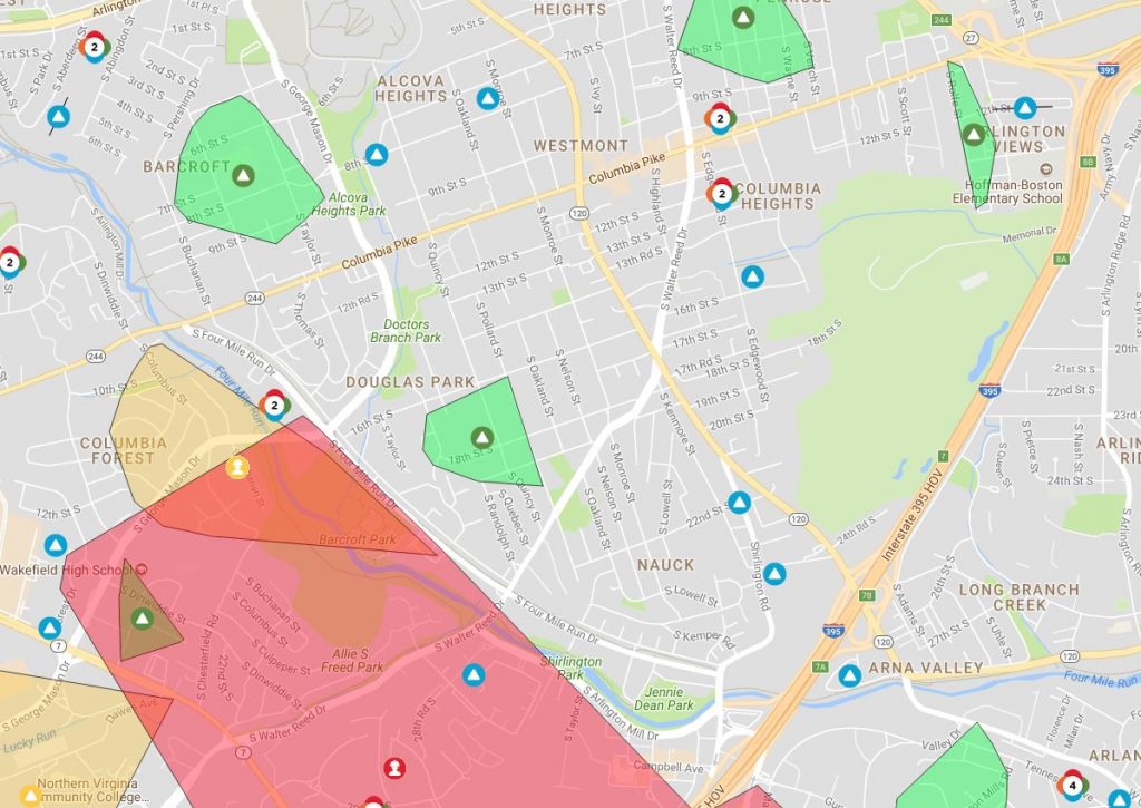
As of 7:30 p.m., Dominion reported 14,663 customers without power in Arlington. An hour earlier, it appeared that the numbers were finally dropping, but thanks to continued strong winds it has, in fact, gone up.

A Dominion outage map showed that a large swath of residential North Arlington and a significant portion of the Fairlington neighborhood was without power as the sun started to set.

Across the D.C. region, nearly 600,000 were in the dark as of early evening.

Arlington County Police say they’ve responded to more than 250 calls for service since this morning, including 66 calls for trees down.

To help with the cleanup, which is expected to take at least a few days, Virginia Gov. Ralph Northam has declared a state of emergency.

“The order is designed to help Virginia mitigate any damage caused by high winds and to streamline the process that the Commonwealth uses to provide assistance to communities impacted,” the governor’s office said in a statement.

A High Wind Warning remains in effect until 6 a.m. Gusty winds are expected to continue overnight as the nor’easter makes its way north and pummels New England.

The National Weather Service says it clocked a wind gust of 71 miles per hour at Dulles International Airport earlier today. NWS is urging those in the D.C. area to remain vigilant as the winds continue to gust.

Widespread power outages are occurring. Travel is dangerous, especially for high profile vehicles, and motorists need to be aware of rapidly changing road conditions due to the potential of downed trees and power lines. Pedestrians will face very hazardous conditions, and need to be aware of wind-borne projectiles. People should avoid being outside in forested areas and around trees and branches. If possible, remain in the lower levels of your homes during the windstorm, and avoid windows. If you use a portable generator, follow manufacturer’s instructions and do not use inside homes, garages, or apartments.

More local weather impacts via social media, after the jump.

(more…)


High winds are expected to wallop the Washington region tonight through Saturday and officials are asking the public to take precautions.

Wind gusts as strong as 60-70 miles per hour are possible from Friday from 4 a.m. through midnight, forecasters say. Wind gusts over 30 miles per hour are expected generally from tonight into Sunday.

The Virginia Department of Transportation issued its own advisory, warning that roadways could be dangerous and that road closures could be possible due to downed trees and power lines or other road debris. Crews will begin working overnight to fix any infrastructure damage, the agency said.

VDOT issued a warning to drivers, and a reminder to:

  • Check road closures before you travel, and look at potential alternate routes.
  • Reduce your speeds and assume there may be a road obstruction ahead.
  • Move over for responders with blue, red, and amber lights, including VDOT and utility crews.
  • Always use your headlights, remember wipers on, lights on is the law.
  • Ensure gas tanks are full, and have a good emergency kit. Here’s how: www.ready.gov/car.

AAA Mid-Atlantic issued its own warning, including a reminder to treat non-working traffic signals as a four-way stop.

“Motorists who venture out during the Nor’easter should brace themselves for driving into tempestuous side winds, which would buffet them off course and off the road, and into blustery head winds and turbulent tail winds,” AAA said. “Drive defensively or stay off the roads until the mercurial storm passes over.”

More advisories from the agencies via social media:

https://twitter.com/VaDOTNOVA/status/969252081319202816

https://twitter.com/ReadyArlington/status/969322520582205440

https://twitter.com/ArlingtonVaPD/status/969329658037760000

File photo


There’s been a lot of clean-up in Arlington following last Thursday’s strong storms that produced a weak tornado.

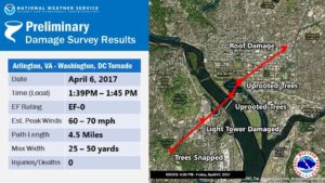
The National Weather Service says the tornado formed adjacent to the Army Navy Country Club and lasted for six minutes on its 4.5 mile journey through Pentagon City and into Washington, D.C. The F-0 tornado had peak winds of 60-70 miles per hour.

The Army Navy Country Club property experienced quite a bit of damage, and a spokesperson issued the following statement to ARLnow on Monday:

“The tornado did interrupt some of the Club’s golf operations, as we had to close 18 of the 27 holes of golf in the Club’s Arlington location. Due to the tornado, we lost dozens of trees, several water coolers, trash cans, and benches on the course. We are fortunate that the path of the tornado did not cause any injuries or damages to the buildings.”

The last time a tornado was recorded in Arlington was on September 24, 2001, when an F-1 that originated in Fairfax County traveled northeast for 15 miles through Alexandria and Arlington, then it crossed the 14th Street Bridge into the District. It caused extensive damage and injured two people in south Arlington.

The scene was different for Thursday’s tornado in Arlington and the two others confirmed in the region that day, said Chris Strong, a warning coordination meteorologist with NWS Baltimore/Washington. Not only were the tornadoes weaker, but they also formed in a different manner.

“These weaker ones last week were basically eddies along a gust front, rather than more classic supercell thunderstorm tornadoes,” Strong says. “Those eddies produced small whirls of wind that in narrow corridors snapped some trees and caused siding and roofing damages.”

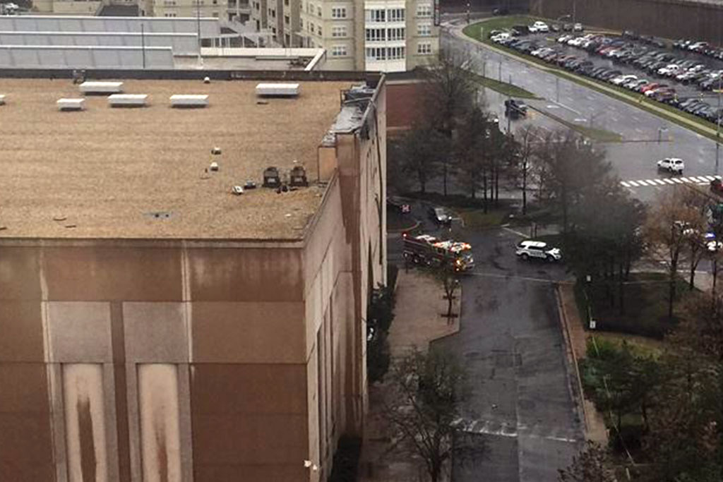
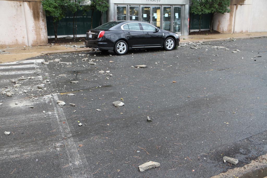
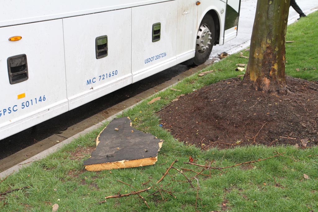
Some of that damage occurred when a portion of the facade and roof of the Macy’s at the Pentagon City mall ripped off and fell onto a car, resulting in one minor injury.

Technological advances have prompted changes in how local emergency managers warn the public about tornadoes and other weather emergencies. Some parts of the country, especially those that are more prone to tornadoes, use sirens as a warning. But sirens aren’t necessarily as effective in Arlington and the District, partially because of the dense buildings and foliage.

“Tornado sirens are not used much in this region of the country,” Strong said. “One of the reasons they work better in tornado alley is the wide open spaces with lack of trees that allows the sound to travel well.”

(more…)


Update at 11:20 p.m. — The National Weather Service confirms that an EF-0 tornado tracked through Arlington and into the District on Thursday.

Earlier: The storms that whipped through Arlington and the D.C. region yesterday brought power outages and damage, and more trees toppled today, according to the Arlington County Fire Department.

But now the Capital Weather Gang believes the storms caused something else: a rare tornado in Arlington.

As CWG reported, the National Weather Service officially confirmed tornadoes in Herndon and in Southeast D.C. on Thursday. But the CWG team lists several other areas where they believe small tornadoes may have touched down, including in South Arlington near the Pentagon.

Radar indicated rotation there around 1:40 p.m., as noted on Twitter by weather enthusiast Ian Livingston.

Photographic evidence of damage near the Army Navy Country Club is consistent with tornadic activity, according to CWG. That’s also close to where one person was hurt when part of the Macy’s facade and roof at the Pentagon City mall was damaged and fell onto a car yesterday.

The National Weather Service reportedly is assessing damage near the Tidal Basin to determine if a tornado occurred there and along the H Street Corridor; the same storm caused the Arlington circulation. The Capital Weather Gang indicates the possible Arlington tornado may have been a separate occurrence from the one at the Tidal Basin, or that one tornado may have passed over the entire area in question.


Arlington County and some surrounding areas are under a Severe Thunderstorm Warning through 9 p.m. tonight.

The National Weather Service says a storm producing high wind gusts is heading toward the area from the west.

THE NATIONAL WEATHER SERVICE IN STERLING VIRGINIA HAS ISSUED A

* SEVERE THUNDERSTORM WARNING

* UNTIL 900 PM EDT

* AT 820 PM EDT…SEVERE THUNDERSTORMS WERE LOCATED ALONG A LINE EXTENDING FROM LEESBURG TO NEAR HAYMARKET TO NEAR WARRENTON…MOVING EAST AT 35 MPH.

HAZARD…60 MPH WIND GUSTS.

SOURCE…RADAR INDICATED.

IMPACT…DAMAGING WINDS WILL CAUSE SOME TREES AND LARGE BRANCHES TO FALL. THIS COULD INJURE THOSE OUTDOORS…AS WELL AS DAMAGE HOMES AND VEHICLES. ROADWAYS MAY BECOME BLOCKED BY DOWNED TREES. LOCALIZED POWER OUTAGES ARE POSSIBLE. UNSECURED LIGHT OBJECTS MAY BECOME PROJECTILES.

* LOCATIONS IMPACTED INCLUDE… ARLINGTON…ALEXANDRIA…CENTREVILLE…DALE CITY…ROCKVILLE… BETHESDA…RESTON…LEESBURG…ANNANDALE…SPRINGFIELD… SOUTH RIDING…HERNDON…FAIRFAX…VIENNA…GROVETON… FALLS CHURCH…BROADLANDS…LANSDOWNE… LOWES ISLAND AND BRAMBLETON.

PRECAUTIONARY/PREPAREDNESS ACTIONS…

GET INDOORS TO PROTECT YOURSELF FROM WIND AND LIGHTNING. TREES AROUND YOU MAY BE DOWNED FROM DAMAGING WINDS…SO IF YOU ARE NEAR LARGE TREES…MOVE TO AN INTERIOR ROOM ON THE LOWEST FLOOR. DON`T DRIVE UNDERNEATH TREES OR IN WOODED AREAS UNTIL THE THREAT HAS PASSED.


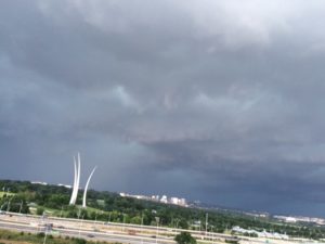
Storm approaching Arlington 6/23/15Update at 8:15 p.m. — The strong storm that blew through Arlington this evening has left behind fallen trees, widespread power outages and long flight delays at Reagan National Airport.

Dominion Virginia Power is reporting 4,245 customers without power in Arlington — almost 5 percent of all customers in the county. Power outages have been reported in Pentagon City, in Courthouse near I-66 and in the Virginia Square area.

The Fashion Centre at Pentagon City mall was evacuated during the storm due to a power outage there. Scanner reports suggest firefighters rescued some customers from stuck elevators. The Pentagon Centre mall was also reported to be without power.

Other outages were reported around the intersections of Lee Highway and N. Adams Street and Lee Highway and N. Kirkwood Road, where traffic signals were not functioning.

At Reagan National Airport, meanwhile departure delays of up to one hour and 45 minutes and arrival delays of up to 45 minutes were reported.

Update at 6:50 p.m. — The Severe Thunderstorm Watch has been upgraded to a warning.

THE NATIONAL WEATHER SERVICE IN STERLING VIRGINIA HAS ISSUED A

* SEVERE THUNDERSTORM WARNING…
* UNTIL 715 PM EDT
* AT 627 PM EDT… TRAINED WEATHER SPOTTERS REPORTED A LINE OF SEVERE THUNDERSTORMS PRODUCING QUARTER SIZE HAIL AND DAMAGING WINDS IN EXCESS OF 60 MPH. THESE STORMS WERE LOCATED ALONG A LINE EXTENDING FROM BROOKLYN PARK TO SOUTH RIDING… AND MOVING SOUTHEAST AT 35 MPH.
* LOCATIONS IMPACTED INCLUDE… ARLINGTON… ROCKVILLE… BOWIE… COLLEGE PARK… HERNDON… GREENBELT… FAIRFAX… VIENNA… FALLS CHURCH… BLADENSBURG… CROFTON… SPRINGFIELD… SOUTH RIDING… PIMMIT HILLS… BODKIN POINT… BETHESDA… SILLERY BAY… NATIONAL HARBOR… FEDEX FIELD AND LANGLEY PARK.

PRECAUTIONARY/PREPAREDNESS ACTIONS…

SEVERE THUNDERSTORMS PRODUCE DAMAGING WINDS… LARGE HAIL… DEADLY LIGHTNING AND VERY HEAVY RAIN. FOR YOUR PROTECTION… MOVE TO AN INTERIOR ROOM ON THE LOWEST FLOOR OF YOUR HOME OR BUSINESS. HEAVY RAINS FLOOD ROADS QUICKLY SO DO NOT DRIVE INTO AREAS WHERE WATER COVERS THE ROAD.

Earlier: Arlington and the surrounding D.C. area is now under a Severe Thunderstorm Watch.

Forecasters say strong storms are likely this afternoon and evening, as cold front approaches from the west and brings with it a line of storms.

From the National Weather Service.

SEVERE THUNDERSTORM WATCH NUMBER 346 IS IN EFFECT FOR THE OUTLOOK AREA THROUGH 11 PM. DAMAGING WIND GUSTS AND LARGE HAIL ARE THE PRIMARY THREATS. THUNDERSTORMS WILL ALSO CONTAIN VERY HEAVY RAINFALL. LOCALIZED FLASH FLOODING IS POSSIBLE.


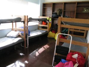
Sleeping quarters in Arlington County's emergency winter shelterThe county’s Emergency Winter Shelter (EWS) opens for the 2014-2015 season tomorrow (Saturday). This will be the final season for the EWS, as the permanent homeless shelter under construction in Courthouse is set to open in spring.

The EWS will be open for vulnerable residents every day from 4:00 p.m.-9:00 a.m., through March 31. Hours may be extended on especially cold days, which happened during last season’s cold snap. The temporary facility at 2049 15th Street N. accommodates up to 74 people and other nearby facilities can be used as overflow during severe weather.

Arlington County funds the EWS and it is operated by the nonprofit Arlington Street People’s Assistance Network (A-SPAN), under the supervision  of the county’s Department of Human Services. It provides homeless residents with facilities for sleeping, eating, showering and doing laundry.

A-SPAN also will operate the new Homeless Services Center (2020 14th Street N.) when it opens, which is expected to be in April.

“We are anticipating a seamless transition,” said Department of Human Services spokesman Kurt Larrick. “A-SPAN will continue to be the service provider and they’ve demonstrated they are great at what they do.”

Rendering of Arlington's new Human Services CenterThe goal for employees of the new Homeless Services Center is not only to house homeless residents, but also to identify and tackle the issues that drove a person to homelessness. County agencies and nonprofit partners will continue to provide resources such as employment training, financial management assistance, and treatment for mental health and substance abuse.

“We’ve got a head start on this even before the new center opens – it’s essentially the same approach we used for the recently completed 100 Homes Campaign,” said Larrick. “It’s the approach we use in our Permanent Supportive Housing Programs – where we get the housing piece in place and then ensure that people get the supports they need to maintain their housing.”

In February, the County Board approved a $6.6 million contract for the new Homeless Services Center, and construction began in April. Right now, workers are continuing to repair weather-damaged columns in the former open parking area under part of the second floor. This known issue was part of the contract. Once the building inspector approves the fixes, workers can removed the extra steel supports installed to carry building loads during repairs, and move on to the next phase. Construction is scheduled to wrap up in March, in time for the April opening.

When finished, the shelter will house 50 year round beds on the third floor, with room for an additional 25 beds during the winter. The second floor will have a kitchen and dining area, in addition to a day room and offices for counseling. Floors four through seven will be converted to county offices at a later date.

Construction updates will be posted online.


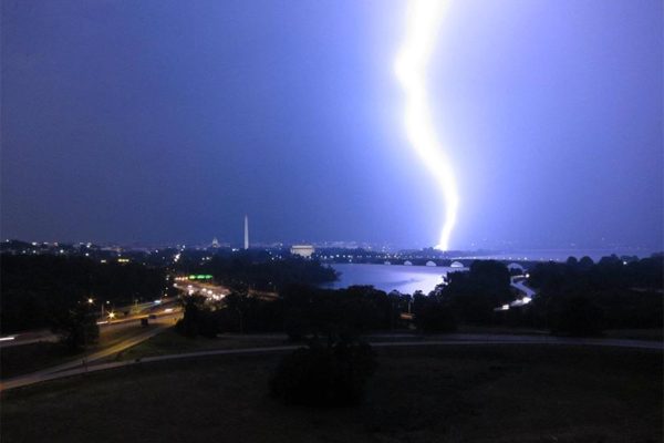
Thunderstorm approaches Arlington, with Rosslyn, the Air Force Memorial and Arlington National Cemetery in the background (file photo)Severe thunderstorms may disrupt outdoor events in Arlington this afternoon and evening.

The National Weather Service has issued a Severe Thunderstorm Watch that’s in effect through 9:00 p.m.

Forecasters say strong storms are possible in the D.C. and Baltimore areas.

From the NWS:

DAMAGING THUNDERSTORMS ARE POSSIBLE THIS AFTERNOON AND EVENING FOR THE BALTIMORE AND WASHINGTON METROPOLITAN AREAS AS WELL AS PORTIONS OF EASTERN WEST VIRGINIA…NORTHERN AND CENTRAL VIRGINIA…AND SOUTHERN MARYLAND. PLEASE MONITOR THIS SITUATION VERY CLOSELY AND ENSURE YOUR NOAA WEATHER RADIOS ARE SET TO ALERT MODE. SEVERE WEATHER WARNINGS MAY BECOME NECESSARY FOR INDIVIDUAL STORMS AND WILL ALERT WEATHER RADIOS IF ISSUED. IF ONE IS ISSUED FOR YOUR AREA…KNOW WHAT TO DO. HERE ARE SOME SAFETY RULES TO KEEP IN MIND WHEN SEVERE WEATHER IS EXPECTED OR IS OCCURRING.

IF A WARNING IS ISSUED FOR YOUR SPOT…HEAD INDOORS IMMEDIATELY. GO TO THE LOWEST FLOOR AWAY FROM WINDOWS. A SEVERE THUNDERSTORM IS DEFINED AS PRODUCING QUARTER SIZE OR GREATER HAIL AND DAMAGING WIND GUSTS OF 58 MPH OR MORE.

STAY TUNED TO NOAA WEATHER RADIO…COMMERCIAL RADIO OR TELEVISION FOR THE LATEST ON THIS POTENTIAL SEVERE WEATHER EVENT. ADDITIONAL WEATHER INFORMATION…CAN BE FOUND AT WEATHER.GOV/WASHINGTON OR WEATHER.GOV/BALTIMORE.


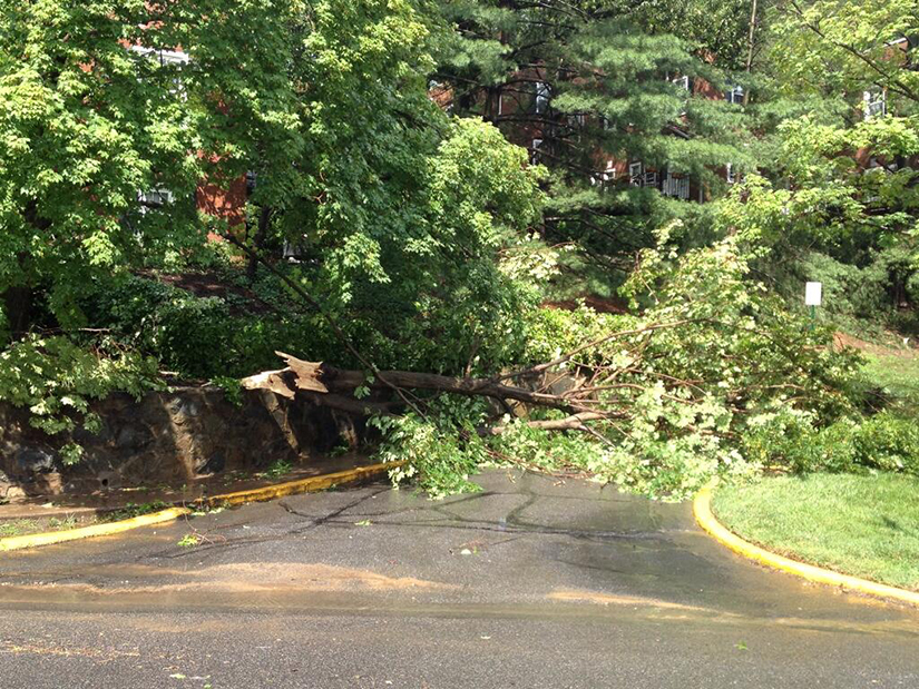
(Updated 6:10 p.m.) A short lived, yet strong, string of storms left patches of destruction and power outages after it whipped through the area this afternoon. Although all parts of the county sustained some damage, the worst reports seem to be coming from South Arlington.

According to Dominion Virginia Power spokesman Chuck Penn, as of 5:45 p.m. there were about 6,500 Arlington customers without electricity. Most of the 33,000 Dominion customers currently without power are in Alexandria. However, Penn noted that “this is a very dynamic, unfolding situation” so numbers are changing almost by the minute.

Crews are out right now determining what is causing outages in each neighborhood and fixing the problems as rapidly as possible. One area hit especially hard is in South Arlington at S. Columbus Street and Chesterfield Road. Penn says multiple power pole cross arms were broken and there are spans of wire down. Dominion crews re-routed the circuit and restored power to a number of customers in the surrounding neighborhoods, but others are still in the dark.

“It’s a rather labor intensive job that our workers are engaged in,” said Penn. “We are very much in the restoration mode right now.”

There are numerous reports of trees down and flooded streets. Motorists are reminded not to attempt driving through standing water, as it may be deeper than it appears. Drivers should also treat any dark traffic lights as a four way stop.

Arlington remains under a Flash Flood Warning until 7:30 p.m. and a Severe Thunderstorm Watch until 9:00 p.m. The Capital Weather Gang predicts storms off and on throughout the evening.

Photos via @Rock_Thrower, @Mrs_Dietz_, @Bruno8a


(Updated at 4:15 p.m.) The National Weather Service has upgraded the Severe Thunderstorm Watch for Arlington and surrounding areas to a Severe Thunderstorm Warning. It is in effect until 4:30 p.m.

From NWS:

* SEVERE THUNDERSTORM WARNING FOR…
THE DISTRICT OF COLUMBIA…
SOUTHERN MONTGOMERY COUNTY IN CENTRAL MARYLAND…
NORTHEASTERN CITY OF FAIRFAX IN NORTHERN VIRGINIA…
CITY OF FALLS CHURCH IN NORTHERN VIRGINIA…
ARLINGTON COUNTY IN NORTHERN VIRGINIA…
CITY OF ALEXANDRIA IN NORTHERN VIRGINIA…
WESTERN PRINCE GEORGES COUNTY IN CENTRAL MARYLAND…
EASTERN FAIRFAX COUNTY IN NORTHERN VIRGINIA…

* UNTIL 400 PM EDT

* AT 328 PM EDT…A SEVERE THUNDERSTORM WAS DETECTED NEAR LAKE
BARCROFT…OR NEAR FALLS CHURCH…AND WAS MOVING EAST AT 20 MPH.
THIS STORM IS CAPABLE OF PRODUCING DAMAGING WINDS IN EXCESS OF 60
MPH.

* LOCATIONS IMPACTED INCLUDE…
CRYSTAL CITY…
ROSSLYN…
GEORGETOWN…
THE WOODROW WILSON BRIDGE…
REAGAN NATIONAL AIRPORT…
ADAMS MORGAN…
NATIONAL HARBOR…
NATIONALS PARK…
ANACOSTIA…
US CAPITOL…

PRECAUTIONARY/PREPAREDNESS ACTIONS…

THIS IS A DANGEROUS STORM. IF YOU ARE IN ITS PATH…PREPARE
IMMEDIATELY FOR DAMAGING WIND GUSTS AND FREQUENT CLOUD TO GROUND
LIGHTNING. MOVE INDOORS TO A STURDY BUILDING AND STAY AWAY FROM
WINDOWS.

NWS has also issued a Flash Flood Warning until 6:00 p.m. Drivers are cautioned not to attempt to cross standing water, as it may be deeper than it appears.

More strong storms are possible tonight, and the area remains under a Severe Thunderstorm Watch until 9:00 p.m.


View More Stories