Miserable weather led to scattered problems across Arlington last night.

Steady rains caused some localized flooding in parts of the county. Police reportedly had to block off 11th Street at North Kennebec Street last night due to water in the roadway. A big pool of standing water also caused a traffic hazard on the northbound lanes of Glebe Road, just before Wilson Boulevard.

Local streams filled with fast-moving water as a result of the rain. This video shows a normally-peaceful section of Four Mile Run that turned into a raging rapid near Shirlington.

Elsewhere in Arlington, gusty winds brought down trees and power lines.

A brief period of sleet, meanwhile, made its way through the area around midnight. There was no noticeable accumulation in Arlington.


Last night’s sleet and snow seems to have pulled off the trick of actually improving traffic.

Right now it’s clear sailing in Arlington on I-395, I-66, Route 1, Route 50 and Columbia Pike. Traffic volume has remained light and no major problems are reported.

Many side streets are still covered in a thin frozen glaze, but are passable.

The storm, which left less than an inch of accumulation, prompted Arlington Public Schools to open on a two-hour delay. The county and federal governments are open with an option for unscheduled leave or telework.


Update at 4:20 p.m. — Crews are now planning on treating Arlington’s roads starting at some point between 9:00 and 10:00 tonight, as rain changes to sleet. Officials say commuters should expect wet main roads and slushy side roads in time for the morning rush. The warmth over the past couple of days means that road temperatures are well above freezing, which should help to melt some of the accumulation, officials say.

The National Weather Service has issued a Winter Weather Advisory as a storm closes in on the Washington area. Local accumulations of 2-5 inches are expected as rain changes over to sleet and snow overnight.

An Arlington County official tells ARLnow.com that crews are preparing for a “light snow” event. So far, there is no plan in place to pre-treat roads. The response may be upgraded now that the advisory has been issued.

A WINTER WEATHER ADVISORY REMAINS IN EFFECT FROM 9 PM THIS EVENING TO 7 AM EST TUESDAY.

* PRECIPITATION TYPE… WINTRY MIX OF RAIN AND SLEET CHANGING OVER TO SNOW.

* ACCUMULATIONS… 2 TO 5 INCHES OF SNOW AND SLEET.

* TIMING… A MIX OF RAIN AND SLEET WILL BEGIN LATE THIS EVENING… THEN CHANGE OVER TO ALL SNOW AROUND MIDNIGHT… AND CONTINUE THROUGH DAWN. HEAVIEST SNOWFALL WILL BE BETWEEN 1 AM AND 4 AM.

* TEMPERATURES… TEMPERATURES IN THE MIDDLE 30S THIS EVENING… DROPPING TO THE UPPER 20S BY TUESDAY MORNING.

* WINDS… NORTHEAST 15 TO 25 MPH.

PRECAUTIONARY/PREPAREDNESS ACTIONS…

A WINTER WEATHER ADVISORY MEANS THAT PERIODS OF SNOW… SLEET… OR FREEZING RAIN WILL CAUSE TRAVEL DIFFICULTIES. BE PREPARED FOR SLIPPERY ROADS AND LIMITED VISIBILITIES… AND USE CAUTION WHILE DRIVING.


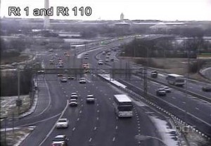
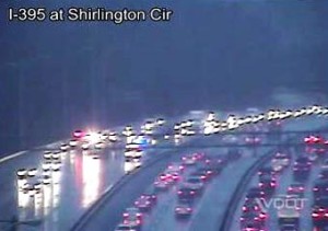
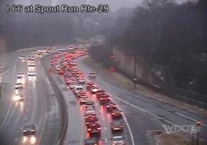
Highways leading out of the District of Columbia are thick with traffic as a steady rain starts to change over to a slippery mix of sleet and snow.

Southbound I-395 and westbound I-66 are both jammed.

Meanwhile, police and firefighters are on the scene of a two-vehicle collision on northbound I-395 just before Shirlington.

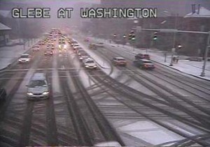
Update at 3:55 p.m. — Heavy congestion reported on Washington Boulevard from Clarendon to I-395.

Update at 4:15 p.m. — Firefighters are on the scene of a two-vehicle crash on Columbia Pike at South Frederick Street.

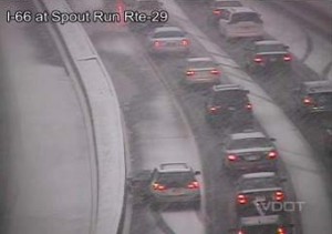
Update at 4:25 p.m. — Roads are quickly becoming snow-covered. Reports are coming in of cars becoming stuck on hills.

Update at 5:15 p.m. — We’re now providing snow and traffic updates on a new post.