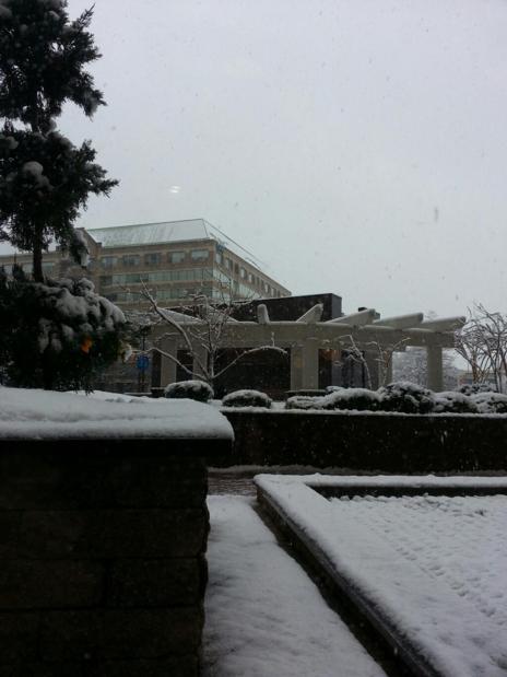
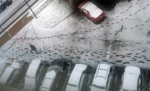
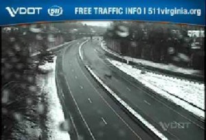
The effects of Sunday’s winter storm continue to be felt as the county braces for another Tuesday morning.

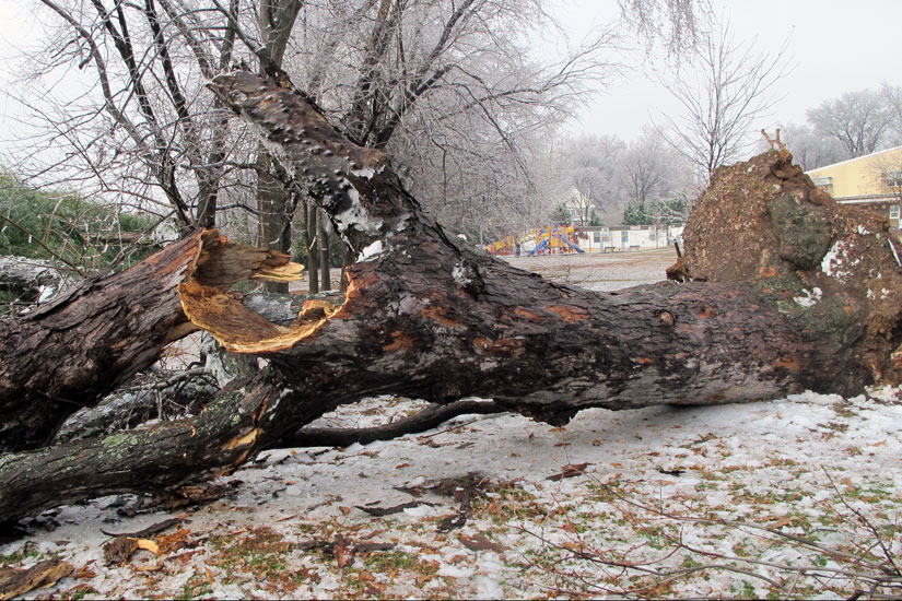
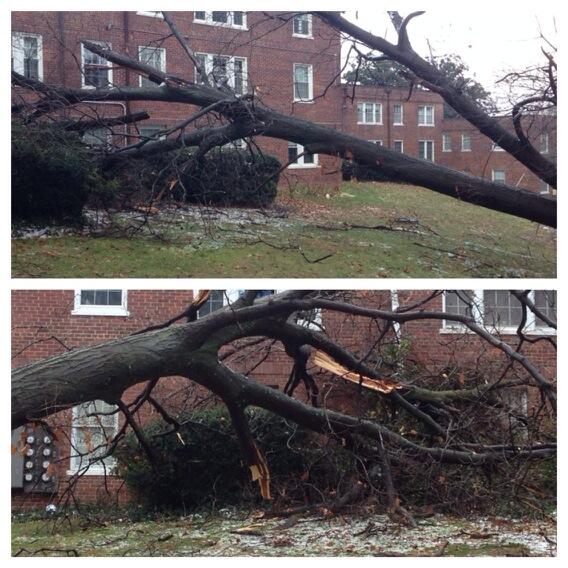
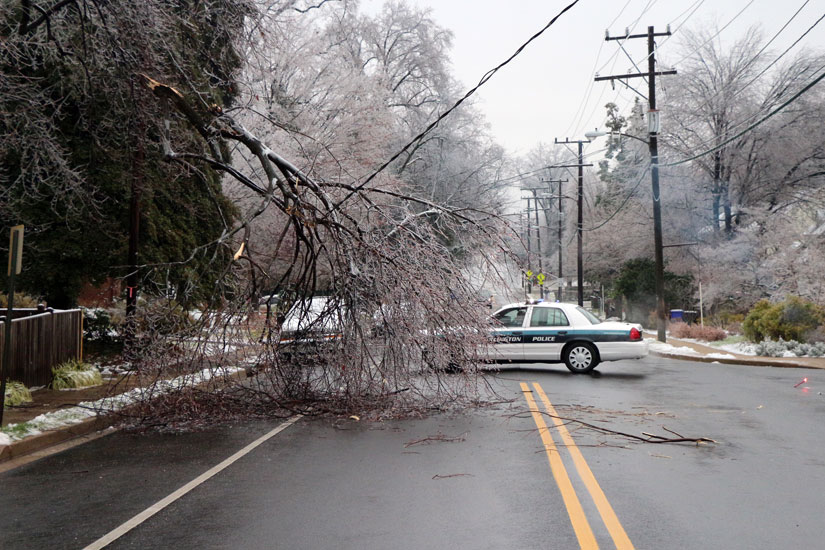
Reports of downed trees, branches and electrical wires, as well as several car accidents, have continued to come in during the day (Monday).

As of late this afternoon, N. Glebe Road was still closed between Military Road and Chain Bridge Road due to a large downed tree. As of 4:15 p.m., 788 Dominion Power customers in Arlington remained without power.

Two pedestrians were struck by vehicles in shopping center parking lots in Arlington today, suffering non-life-threatening injuries. It’s unclear if accumulated snow and ice played a role in the accidents.

Arlington Office of Emergency Management spokesman John Crawford said the storm’s impact could have been worse had it not arrived on a Sunday and had residents not been alerted by forecasters well ahead of time. Closing schools and governments allowing “liberal leave” prevented further safety issues today, Crawford said.

“I think our roadways were fairly clear” for the morning commute, he said.

The county may not be so lucky for the winter storm that could arrive Tuesday morning, however. The National Weather Service has downgraded what was a Winter Storm Watch to a Winter Weather Advisory at 2:30 p.m., but it’s still calling for 3-5 inches of snow between 3:00 a.m. and 2:00 p.m.

NWS is warning of a “hazardous morning commute,” saying the heaviest snow will be falling during the morning rush hour, while OEM is also preparing for the possibility that the snow could pose more problems for the evening rush hour.

“We’re tracking and watching the storm very closely to see if it’s going to have a significant impact on Arlington,” Crawford said.

“Commuters should be well aware of conditions tomorrow,” he said. “Coming home could be very sloppy if the temperature remains below freezing. If you absolutely have to drive, just be smart, be cautious and be prepared.”

Crawford remembered “Carmageddon,” the last major winter storm that impacted the area during a rush hour commute. Drivers were stuck on the George Washington Parkway and I-66 for several hours on Jan. 26, 2011. There were more than 100 calls for disabled vehicles throughout Northern Virginia.

The Washington Post’s Capital Weather Gang is still unsure about the true nature of the coming storm, calling it “tricky to predict.” It could be less than 2 inches or more than 5 inches of snow, CWG forecasters say.

The Virginia Department of Transportation is urging drivers to check weather conditions before leaving for their morning commutes tomorrow morning, and to “limit travel or use caution.” More than 1,200 VDOT trucks and plows will be out by 4 a.m. to try to clear roadways, the department said.


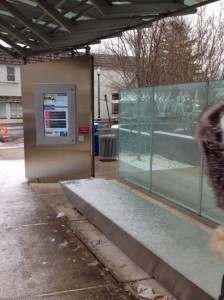
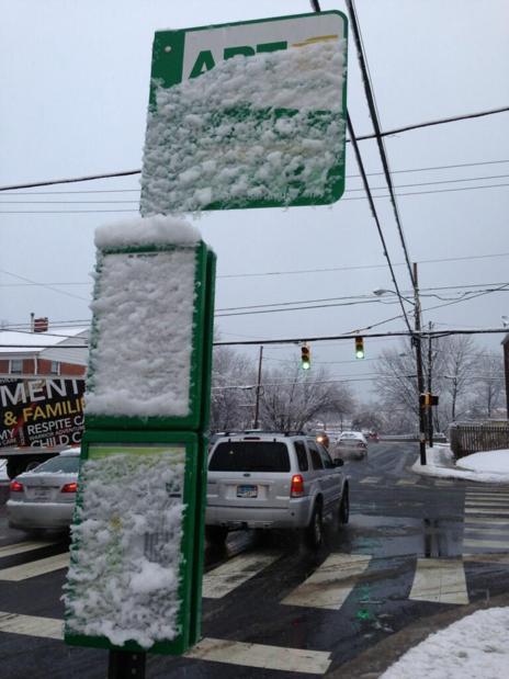
Snow on the bench of the Walter Reed Super Stop (photo via @Fallon4ArlVA)The $1 million Walter Reed “Super Stop” on Columbia Pike had its first big test of handing inclement winter weather over the weekend.

By at least one measure, it failed.

Part of the Super Stop’s bench was covered by snow Sunday, as a tweet from Arlington County Board candidate Peter Fallon showed.

“No, it doesn’t keep the snow out. :-(,” Fallon tweeted.

Photo via Twitter


Roads in Arlington after first snow of the winter 2013As Arlington cleans up downed tree branches and power lines from last night’s freezing rain, the region is bracing for another winter storm.

The National Weather Service has issued a Winter Storm Watch, saying that 5 or more inches of snow is possible Tuesday. Other forecasters say the snow total is likely to be lower — perhaps 2-3 inches.

From the National Weather Service:

…WINTER STORM WATCH IN EFFECT FROM LATE TONIGHT THROUGH TUESDAY AFTERNOON…

THE NATIONAL WEATHER SERVICE IN BALTIMORE MD/WASHINGTON HAS ISSUED A WINTER STORM WATCH…WHICH IS IN EFFECT FROM LATE TONIGHT THROUGH TUESDAY AFTERNOON.

* PRECIPITATION TYPE…POTENTIAL FOR HEAVY SNOW. THE PRECIPITATION MAY START AS A PERIOD OF SLEET…ESPECIALLY SOUTH OF INTERSTATE 66 IN VIRGINIA…THE DISTRICT OF COLUMBIA…AND U.S. ROUTE 50 IN MARYLAND.

* ACCUMULATIONS…POTENTIAL FOR FIVE INCHES OR MORE OF SNOW.

* TIMING…NEAR DAWN TUESDAY THROUGH EARLY TUESDAY AFTERNOON…INCLUDING THE TUESDAY MORNING RUSH HOUR.

* TEMPERATURES…UPPER 20S AND LOWER 30S.

* WINDS…NORTH 5 TO 10 MPH.

* IMPACTS…HAZARDOUS TRAVEL CONDITIONS ARE PROBABLE DUE TO ACCUMULATING SNOW…WHICH WILL CAUSE ADVERSE TRAVELING CONDITIONS. THE SNOW WILL LIKELY IMPACT THE MORNING RUSH TUESDAY WITH THE POTENTIAL FOR ACCUMULATION RATES OF 1-2 INCHES PER HOUR FOR A TWO-TO-FOUR HOUR PERIOD FROM DAYBREAK TO MID-TO-LATE MORNING.

PRECAUTIONARY/PREPAREDNESS ACTIONS…

A WINTER STORM WATCH MEANS THERE IS A POTENTIAL FOR SIGNIFICANT SNOW…SLEET…OR ICE ACCUMULATIONS THAT MAY IMPACT TRAVEL.


Snow on Dec. 8, 2013 by J. SonderRoads around Arlington are reported to be icy and treacherous as more freezing rain is expected to fall overnight.

The area is under a Winter Storm Warning through 10:00 a.m. Monday as forecasters call for a quarter inch of ice. Via Twitter, readers have reported slick roads, especially on neighborhood streets. A Domino’s delivery driver in south Arlington told ARLnow.com that side streets were “very bad,” and that another driver had been involved in an accident. Bridges were also said to be particularly icy.

VDOT, which is responsible for maintaining highways and certain major roads in Arlington, says Monday’s morning rush hour could be impacted by the slick conditions.

“Crews are plowing as well as heavily salting roads and will continue to do so through tomorrow morning’s rush hours,” VDOT said in a tweet.

Arlington canceled evening activities and closed all schools and government buildings at 6:00 p.m. tonight (Sunday).

Freezing temperatures might have been responsible for a water main break near Lee Highway. The water main break happened at 20th Road N. and N. Woodstock Street.

Fairfax and Loudoun County schools will be closed Monday. So far, there has been no announcement from Arlington Public Schools.

Flickr pool photo by J. Sonder


The National Weather Service has issued a Winter Storm Watch for the greater D.C. region.

Forecasters say 1-2 inches of snow and a quarter inch of ice accumulation is likely.

…WINTER STORM WATCH IN EFFECT FROM SUNDAY MORNING THROUGH MONDAY MORNING…

THE NATIONAL WEATHER SERVICE IN BALTIMORE MD/WASHINGTON HAS ISSUED A WINTER STORM WATCH…WHICH IS IN EFFECT FROM SUNDAY MORNING THROUGH MONDAY MORNING.

* PRECIPITATION TYPE…SNOW AND SLEET WILL CHANGE OVER TO FREEZING RAIN SUNDAY AFTERNOON. FREEZING RAIN IS EXPECTED TO LAST UNTIL LATE SUNDAY NIGHT OR MONDAY MORNING BEFORE CHANGING TO RAIN.

* ACCUMULATIONS…1 TO 2 INCHES OF SNOW AND SLEET AND A QUARTER INCH OR MORE OF ICE ACCUMULATION IS POSSIBLE.

* TIMING…SNOW AND SLEET ARE EXPECTED TO BEGIN SUNDAY MORNING. A CHANGEOVER TO FREEZING RAIN IS EXPECTED MIDDAY SUNDAY AND WILL CONTINUE INTO THE NIGHT BEFORE CHANGING OVER TO RAIN LATE SUNDAY NIGHT OR MONDAY MORNING.

* TEMPERATURES…AROUND 30 DEGREES.

* WINDS…LIGHT NORTHERLY WINDS.

* IMPACTS…HAZARDOUS TRAVEL CONDITIONS ARE PROBABLE DUE TO SLICK ROADS AND ICY CONDITIONS SUNDAY AND POSSIBLY INTO MONDAY. INCREASED POWER OUTAGES ARE POSSIBLE.

PRECAUTIONARY/PREPAREDNESS ACTIONS…

A WINTER STORM WATCH MEANS THERE IS A POTENTIAL FOR SIGNIFICANT SNOW…SLEET…AND ICE ACCUMULATIONS THAT MAY IMPACT TRAVEL. CONTINUE TO MONITOR THE LATEST FORECASTS.


Bitter cold, gusty winds and possible snow flurries are on tap for today, weather-wise.

Forecasters say an Arctic cold front is bringing unseasonably cold temperatures — in the 30s and 40s — to the area. Are you ready to see snow flakes flying, or is it too early in the fall for your tastes?


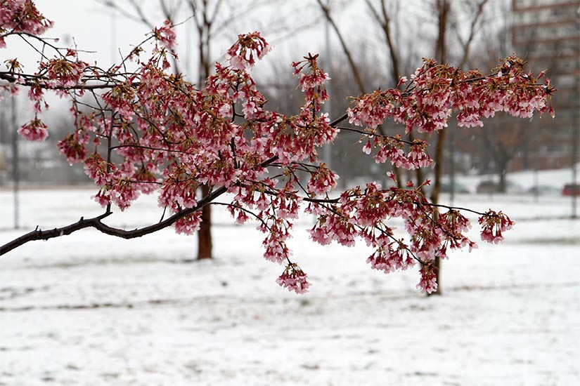
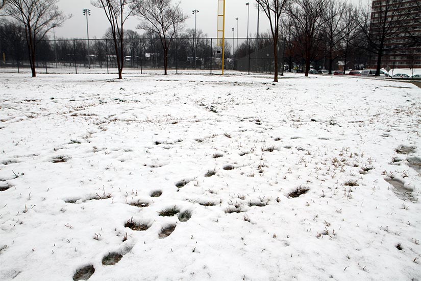
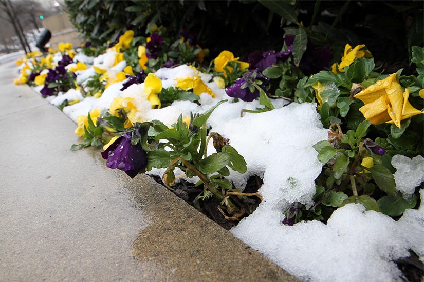
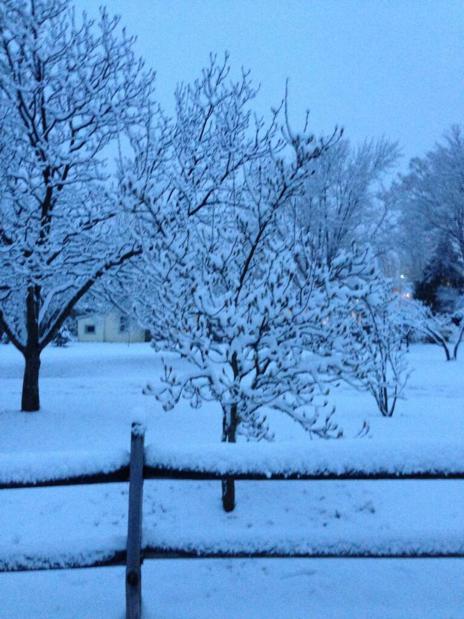
A spring storm system dropped some 1-4 inches of snow on Arlington this morning.

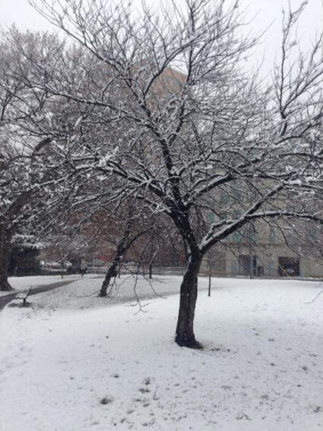
The snowfall made for some pretty scenery but caused a few problems around town.

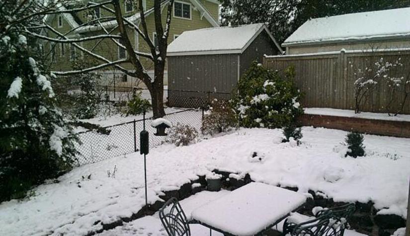
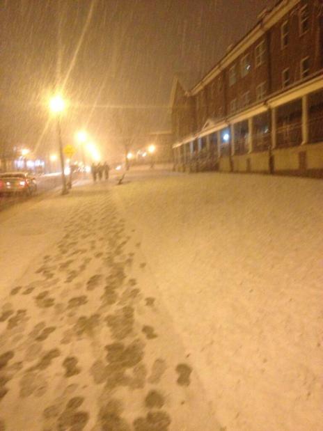
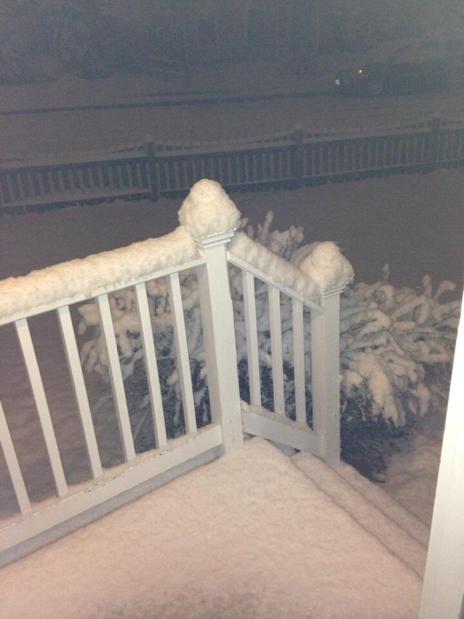
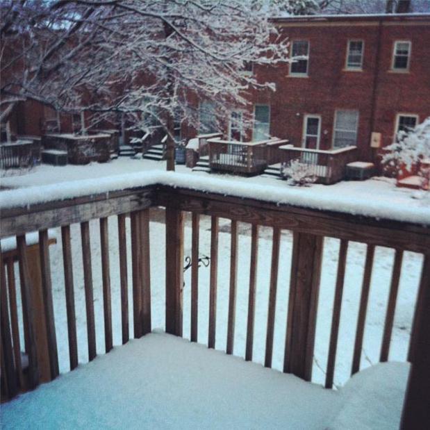
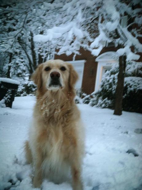
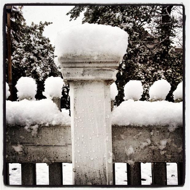
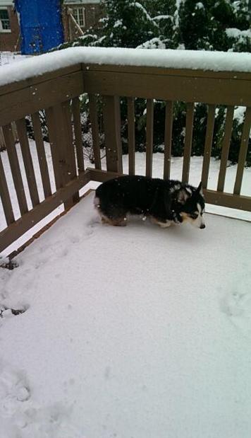
We asked readers to send their photos of the snow to us via Twitter and Flickr. Check out some of their submissions, and a few photos taken by us, in the gallery above.


Snow in the Yorktown neighborhood by Wolfkann

Minimal Snow Impacts on County Gov’t — This morning’s snowfall had little outward impact on county government operations. Trash and recycling collection is expected to proceed as normal, and scheduled parks and recreation events are also still on, according to the Arlington County government Twitter account. Street sweeping service, however, has been canceled.

Polly Captures Stacking Title Again — Arlington resident William Polly, 12, has captured the title of US Nationals Grand Champion in the sport of speed stacking for the second year in a row. Polly also set a world record for the “cycle” stacking event at the national competition. He will now compete in the sport’s world championship next month. [World Sport Stacking Association, YouTube]

Crystal House Sold — The 828-unit Crystal House apartment complex, at 2000 S. Eads Street in Crystal City, has been sold. Ballston-based AvalonBay sold the complex to New Jersey-based Mack-Cali Realty for between $197 and $262.5 million. [GlobeSt.com]

American Girl Dolls at Library — Arlington Public Library recently started lending out American Girl dolls, and last week the library added four new dolls to its collection. “Just like the rest of the Library’s growing collection of American Girl Dolls, the new four can be placed on hold and taken home for a week of new adventures,” the library said on its website. [Arlington Public Library, Washington Post]

Park Naming Rights Rumors — There are rumors that the county has been considering selling the naming rights to Arlington parks, or even selling park land outright. Those rumors are untrue, the county says. [Arlington Mercury]

Flickr pool photo by Wolfkann


Snow accumulation in a Courthouse parking lot

(Updated at 9:20 a.m.) Arlington commuters woke up to something of a surprise this morning: accumulated snowfall.

Arlington County says local roads are “slushy,” and its snow removal crews are in the “Phase 2” of snow removal — working to treat heavily-travelled roads.

“Commuters will encounter slushy conditions on area roads,” the county said in an Arlington Alert. “Use caution when approaching intersections and on/off ramps.”

Arlington Public Schools are not impacted by the snowfall; students are currently on spring break. But snow-covered roads perhaps played a factor led in a number of accidents in and around Arlington this morning.

Accidents have been reported on the northbound GW Parkway near Spout Run and Route 123. The second accident involved an overturned car and northbound traffic is reportedly blocked.

Meanwhile, a rollover accident happened earlier at Reagan National Airport.

A vehicle flipped over on the departures roadway, beyond Terminals B and C on the “return to the airport” ramp.

“[The] driver of the vehicle was transported to a local hospital,” said airport spokesman Robert Yingling. “No other occupants [and] no other vehicles [were] involved.”

The vehicle has since been removed and the road reopened.


395-glebe-snowSo far, the so-called Snowquester snowstorm has been largely a bust in Arlington.

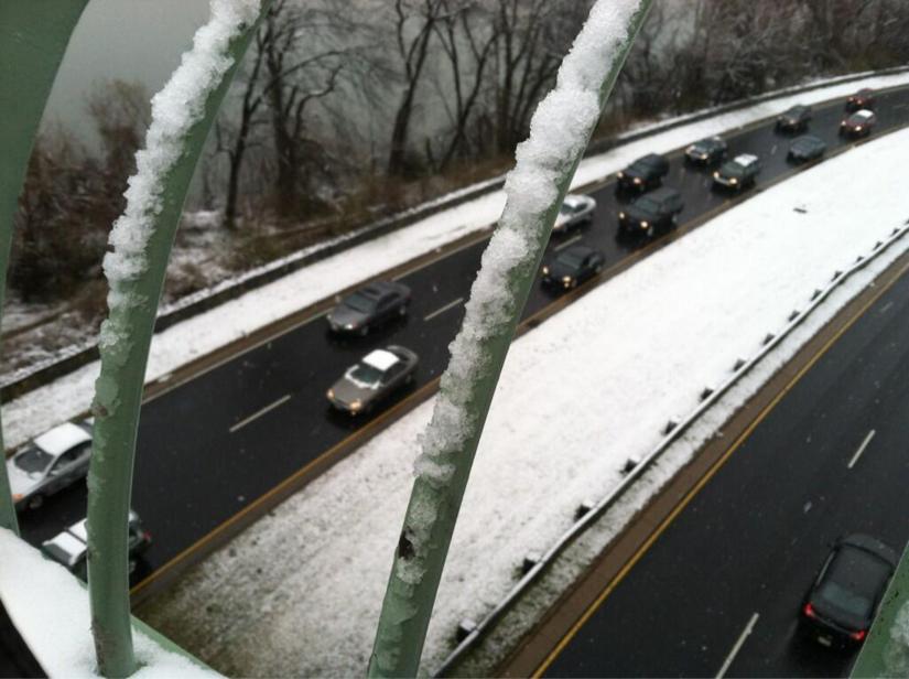
While northern and western parts of the county have some slushy snow cover (see photo of I-66 and Glebe Road, left), many points south and east have nary a sign of the white stuff.

Arlington County says roads are currently passable, but crews are prepared for the possibility of additional snowfall this afternoon. From a press release:

Arlington County Government and Arlington Public Schools are closed today.

Arlington snow crews have been working since midnight. We activated full shifts of 12 hours each; at 12 noon the second shift will come in. The overnight crew has been traveling County roads and spreading salt and brine. These shifts will continue throughout the storm and extend into the days following, as needed.

At this hour, our crews report that roads remain passable, with little actual accumulation, though we continue to urge everyone to stay off the roads if possible. We expect significant snow accumulation later this afternoon, tapering off into the evening hours.

Dominion Power is reporting one small power outage, which may not be storm-related. View the Dominion interactive outage map.

For useful phone numbers, tips, information, cancellations, etc., visit Snow & Ice Central. If you have not already done so, sign up for Arlington Alert to receive free emergency text messages.

And, just for fun, please share your Snowquester photos with our Flickr group.


View More Stories