Snow 3/3/14

Arlington and the rest of the D.C. region will be waking up to a white St. Patrick’s Day.

A Winter Storm Warning has been issued for the region. The National Weather Service says 4-8 inches of snow is possible, with most of the flakes falling overnight. The Capital Weather Gang, however, predicts that much of Arlington and the District will only see 1-3 inches.

From the NWS:

… WINTER STORM WARNING REMAINS IN EFFECT FROM 7 PM THIS EVENING TO 2 PM EDT MONDAY…

* PRECIPITATION TYPE… SNOW

* ACCUMULATIONS… 4 TO 8 INCHES.

* TIMING… A MIX OF RAIN AND SNOW EARLY THIS EVENING WILL CHANGE TO ALL SNOW BY MID EVENING. SNOW WILL CONTINUE OVERNIGHT THROUGH EARLY AFTERNOON MONDAY. THE HEAVIEST SNOW IS EXPECTED LATE THIS EVENING THROUGH EARLY MONDAY MORNING.

* TEMPERATURES… FALLING INTO THE LOWER 30S BY MID EVENING AND THEN DROPPING INTO THE LOWER TO MIDDLE 20S LATE TONIGHT. HIGHS MONDAY IN THE LOWER 30S.

* WINDS… NORTHEAST 10 TO 15 MPH WITH GUSTS UP TO 20 MPH.

* IMPACTS… ROADS WILL BECOME SNOW COVERED AND SLIPPERY. TRAVEL WILL BE DANGEROUS… ESPECIALLY TONIGHT THROUGH THE MORNING RUSH ON MONDAY.

PRECAUTIONARY/PREPAREDNESS ACTIONS…

A WINTER STORM WARNING FOR HEAVY SNOW MEANS SEVERE WINTER WEATHER CONDITIONS ARE EXPECTED OR OCCURRING. SIGNIFICANT AMOUNTS OF SNOW ARE FORECAST THAT WILL MAKE TRAVEL DANGEROUS. ONLY TRAVEL IN AN EMERGENCY. IF YOU MUST TRAVEL… KEEP AN EXTRA FLASHLIGHT… FOOD… AND WATER IN YOUR VEHICLE IN CASE OF AN EMERGENCY.

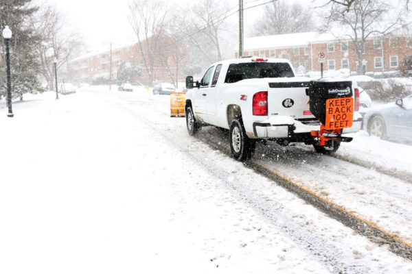
The Virginia Department of Transportation, meanwhile, is planning to deploy more than 2,000 snow removal trucks in Northern Virginia. From VDOT:

The Virginia Department of Transportation is preparing for another potential winter storm tonight, and advises drivers to stay off roads during freezing rain and snow expected through tomorrow morning.

Crews will mobilize by 6 p.m. today, and by midnight more than 2,000 trucks will be staged along interstates, major roads and neighborhood streets in Fairfax, Loudoun, Prince William and Arlington counties.

Info for northern Virginia drivers and residents:

  • Drivers are strongly advised to stay home during the storm, overnight tonight and into Monday morning.
  • Crews will plow and treat interstates, major roads and neighborhoods concurrently.
  • Fairfax, Loudoun and Prince William residents can enter their address at www.vdotplows.org to see the status of plowing in their neighborhood.
  • Park in your driveway or on the odd-numbered side of the street to allow plows room to pass.
  • When shoveling, leave the last few feet at the curb until the street is plowed, as the truck will push some snow back. Shovel to the right facing the road.
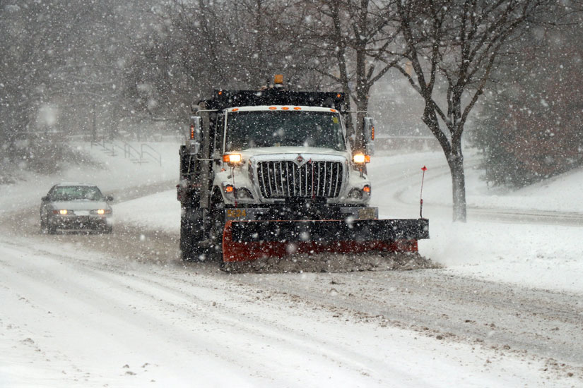
  • Chemicals are not used in subdivisions, but crews sand hills, curves and intersections to provide traction. For most storms, one snowplow pass, about eight to ten feet wide, is made.

Update at 5:05 p.m. — A Severe Thunderstorm Watch has been issued for Arlington and the surrounding D.C. region through 10:00 tonight.

The National Weather Service has issued a Wind Advisory for tonight and Thursday morning.

The wind warning comes as this afternoon’s nearly 70 degree temperatures give way to a cold front that will drop the mercury into the 20s. Forecasters say thunderstorms and wind gusts of up to 55 miles per hour — which may damage trees and power lines– are possible. From NWS:

… WIND ADVISORY REMAINS IN EFFECT FROM 6 PM THIS EVENING TO 11 AM EDT THURSDAY…

* TIMING… WEDNESDAY EVENING THROUGH THURSDAY MORNING.

* WINDS… NORTHWEST 20 TO 30 MPH WITH GUSTS UP TO 55 MPH.

* IMPACTS… SCATTERED TREE AND POWER LINE DAMAGE. DIFFICULTY DRIVING HIGH PROFILE VEHICLES.

PRECAUTIONARY/PREPAREDNESS ACTIONS…

A WIND ADVISORY MEANS THAT WIND GUSTS OF 45 TO 55 MPH ARE EXPECTED. SECURE OUTDOOR FURNITURE AND TAKE CARE DRIVING HIGH PROFILE VEHICLES.

The NWS has also issued a Fire Weather Watch:

…FIRE WEATHER WATCH IN EFFECT FROM THURSDAY MORNING THROUGH THURSDAY AFTERNOON FOR CENTRAL AND NORTHERN VIRGINIA EAST OF THE BLUE RIDGE MOUNTAINS…

THE NATIONAL WEATHER SERVICE IN STERLING VIRGINIA HAS ISSUED A FIRE WEATHER WATCH FOR THE POTENTIAL OF RAPID WILDFIRE GROWTH…WHICH IS IN EFFECT FROM THURSDAY MORNING THROUGH THURSDAY AFTERNOON.

* HUMIDITY…20 TO 25 PERCENT.

* WINDS…NORTHWEST 20 TO 25 MPH WITH GUSTS UP TO 40 MPH.

* FUEL MOISTURE…LESS THAN 10 PERCENT.

PRECAUTIONARY/PREPAREDNESS ACTIONS…

A FIRE WEATHER WATCH MEANS THAT CRITICAL FIRE WEATHER CONDITIONS ARE FORECAST TO OCCUR. LISTEN FOR LATER FORECASTS AND POSSIBLE RED FLAG WARNINGS.


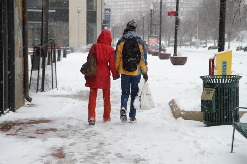
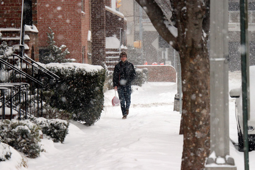
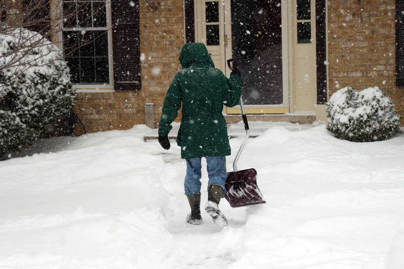
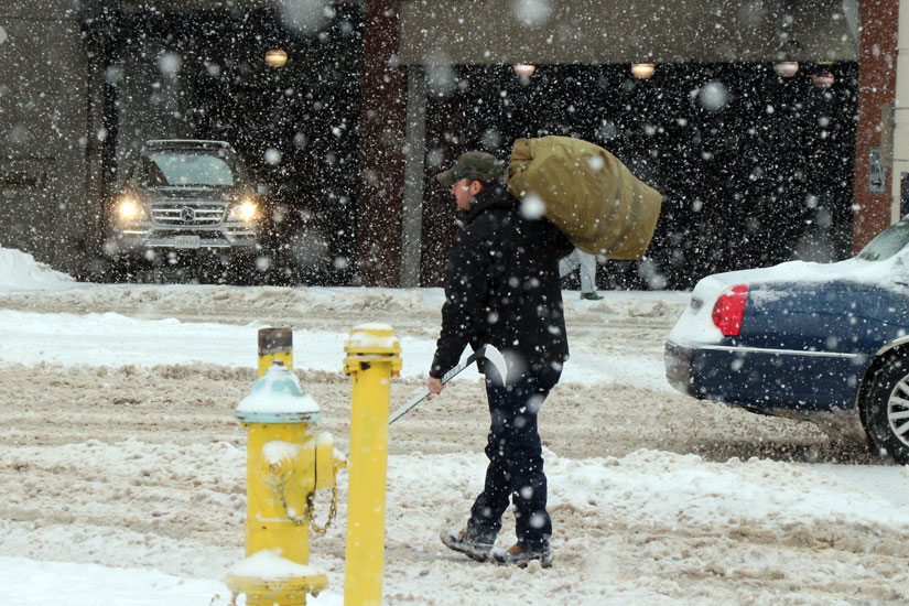
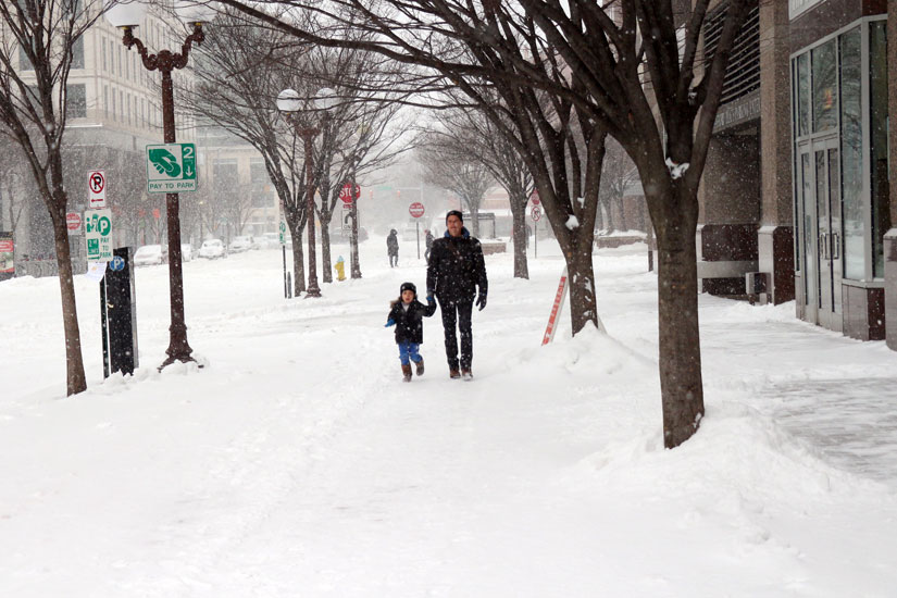
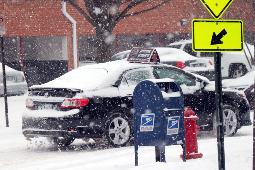
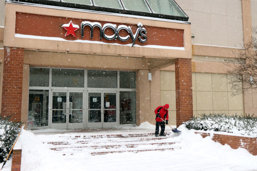
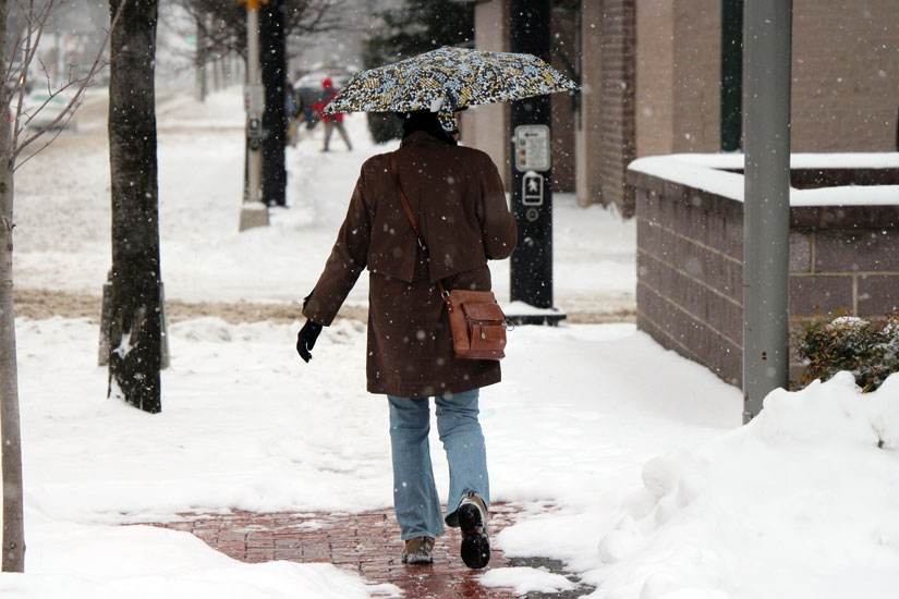
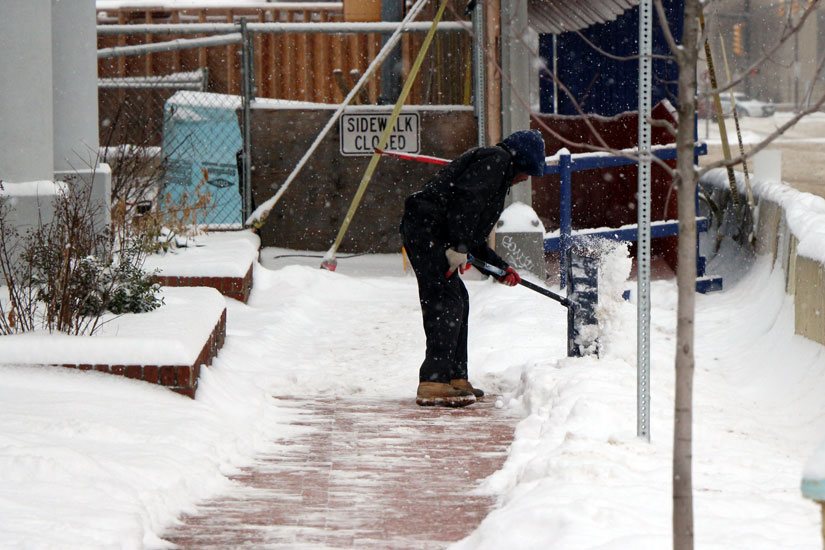
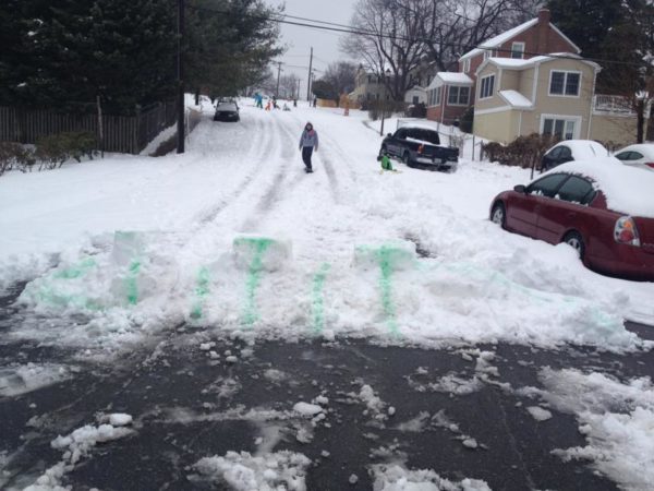
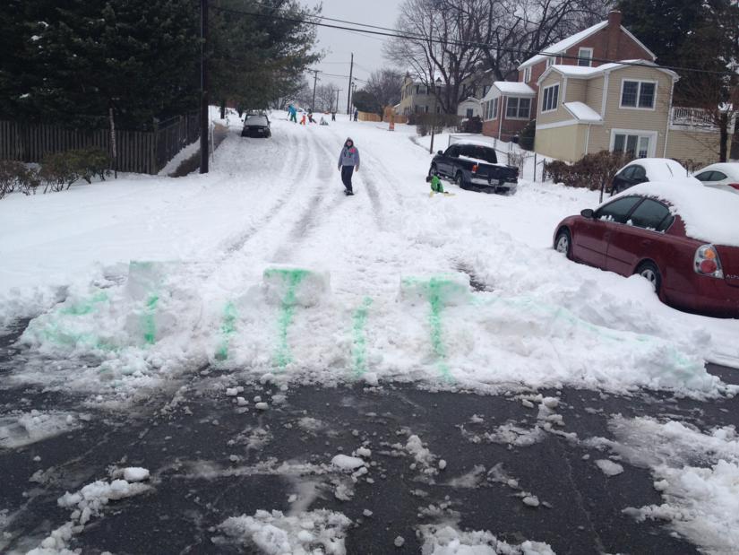
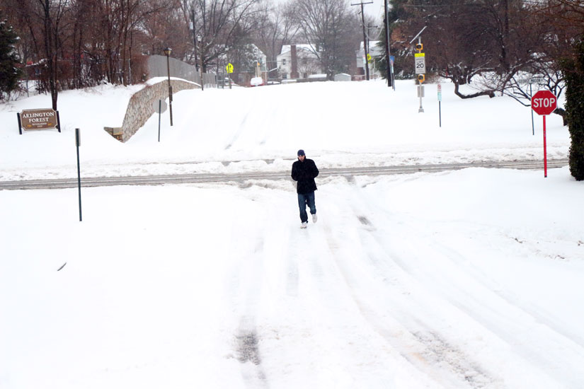
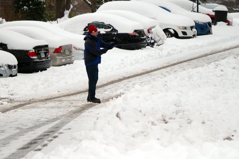
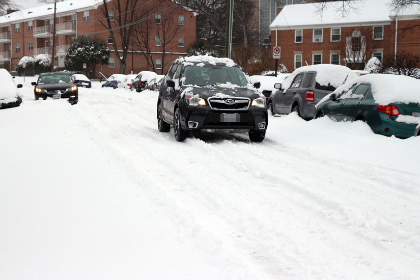
Sidewalks and roads in many parts of Arlington are still covered with snow Monday afternoon, even though the flakes stopped falling around 2:00 p.m. But that hasn’t stopped plenty of folks in Arlington from venturing outdoors to enjoy the winter wonderland.

Temperatures are expected to continue to plummet into the single digits tonight, so any snow left on roads and sidewalks could turn into a slippery, icy mess.

Despite the big snowfall, few in Arlington are reporting power outages. According to Dominion’s outage map, as of 3:20 p.m., only 19 customers in Arlington were without power.


Snow 3/3/14(Updated at 3:35 p.m.) The snow has largely stopped falling but crews in Arlington will be busy clearing it from roads and sidewalks well into Tuesday.

About 4-6 inches of snow fell in Arlington, barely meeting the low end of the National Weather Service’s forecast. But the snowfall still managed to cause plenty of problems around town.

The local Virginia State Police barracks reported a total of 111 crashes, 84 disabled vehicles and 372 calls for service as of 3:00 p.m. That’s on top of numerous accidents reported on local Arlington County streets.

ART and Metro bus service has been suspended for the day, but is expected to resume tomorrow. Trash collection service was also canceled in Arlington today. Flights resumed at Reagan National Airport around 3:00 p.m., after arrivals and departures had been suspended for most of the day due to snow-covered runways. Some 360 flights were canceled at the airport today.

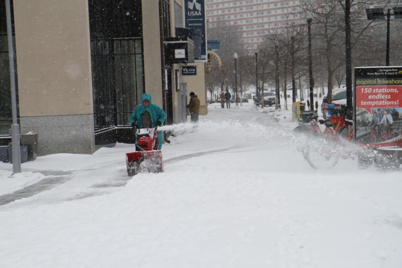
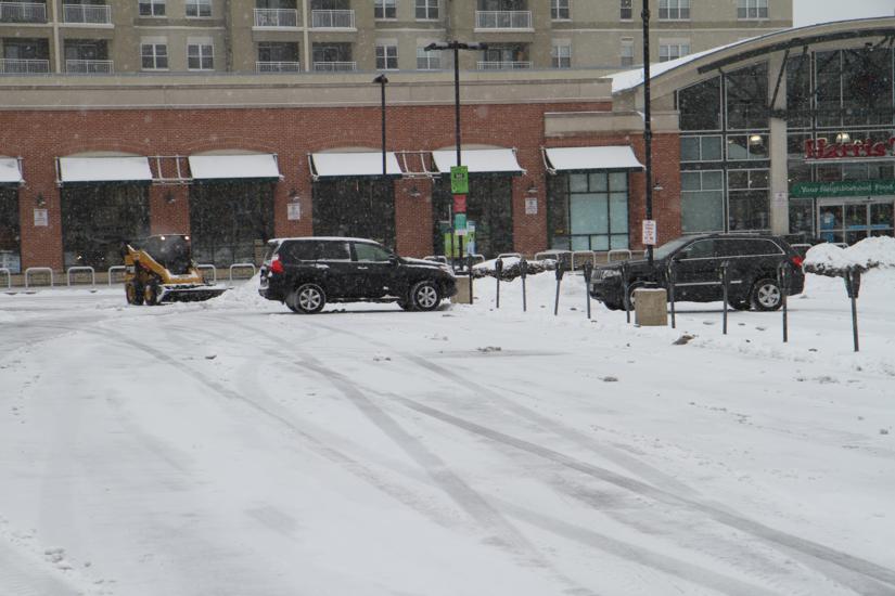
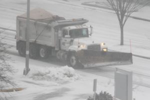
Snow 3/3/14Snow removal crews in Arlington are currently in a “Phase 2 Alert” — clearing only primary and arterial roads. Contract snow crews are expected to start using dump trucks to clear snow from Arlington’s Metro corridors starting at 6:00 p.m. tonight. Arlington Parks and Recreation crews, meanwhile, are clearing the sidewalks in front of county facilities.

Arlington’s emergency winter homeless shelter in Courthouse is open all day today due to the snow.

The snow has claimed at least one major event casualty. The Clarendon Alliance has postponed its annual Mardi Gras parade, which was scheduled for Tuesday evening.

“The Clarendon Alliance is announcing that the 2014 Mardi Gras Parade is being postponed, due to snow and ice along the parade route,” Clarendon Alliance executive director Matt Hussman said in an email. “We intend to reschedule the parade as soon as possible — possibly around St. Patrick’s Day… but we need to consult with County officials before we can announce the new date.”


Snow 3/3/14(Updated at 10:20 a.m.) About 4 inches of snow is on the ground in Arlington and more is on the way as winds pick up and temperatures fall.

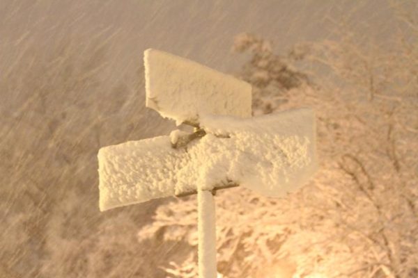
The temperature had dropped from 34 degrees to 19 degrees from midnight to 8:00 a.m. in Arlington, according to ABC7 meteorologist Ryan Miller. Light, fluffy snow is falling in sheets, blown by 20-30 mile per hour wind gusts.

Forecasters are calling for 6-10 inches of snow to fall by the time the storm tapers off tonight.

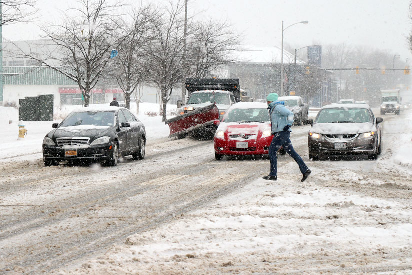
Already the snow is causing big problems on the road for those attempting to drive. Glebe Road was blocked between Military Road and Chain Bridge Road as of 8:15 a.m., due to a single-vehicle accident, but has since reopened.

ART and Metro bus service has been suspended, as has STAR and MetroAccess service. Metrorail so far is operating on time. As of 10:15 a.m. runways at Reagan National Airport were closed as crews made a “herculean effort” to clear the snow and reopen the main runway.

Snow 3/3/14Police are also on the scene of an accident at the intersection of Lee Highway and George Mason Drive, where a Nissan reportedly slammed into a tree.

Arlington County is currently in a Phase 2 snow alert, meaning that snow removal crews are only treating and plowing primary and arterial streets. Residential streets will be allowed to become snow-covered.

The federal government and all Arlington schools, courts and government offices are closed Monday.

Virginia Governor Terry McAuliffe declared a state of emergency Monday morning in response to the storm. From the governor’s announcement:

As Virginia prepares for another winter storm today, Governor Terry McAuliffe has declared a state of emergency, an action that authorizes state agencies to be ready to assist local governments in responding to the snow and ice storm that will affect the commonwealth this evening and into tomorrow.

In declaring a state of emergency, the governor authorizes state agencies to identify and position resources for quick response anywhere they are needed in Virginia.

“This storm could bring difficult travel and widespread power outages for the next few days,” said Governor McAuliffe.  “It is also going to be very cold with gusty winds across Virginia.  Please postpone travel during the storm, charge up your mobile devices so you can stay in touch, and take time to check on your neighbors in case they need help.”

In response to the storm:

  • The Virginia Emergency Operations Center is at increased readiness with emergency response team members monitoring the storm and ready to coordinate the state’s response.
  • The Virginia Department of Emergency Management is coordinating conference calls between the National Weather Service, state agencies and local governments.
  • Virginia Department of Transportation crews have begun full preparations for a significant winter weather event expected to impact the commonwealth Monday.
  • The Virginia National Guard has been authorized to bring up to 100 personnel on state active duty to support emergency response operations. Virginia Guard personnel have been alerted to begin staging and expect to be in place tonight so they are able to rapidly respond if needed.
  • The Virginia State Police will extend shifts and have additional troopers on patrol to expedite response times to traffic crashes and disabled motorists. 

Virginians should:

  • Be prepared to take care of yourself and your family for at least 72 hours, in case roads are blocked and/or there are power outages.
  • Prepare a three-day supply of food that includes a gallon of water per person per day and food that does not require electricity to prepare it.
  • Have a battery powered and/or hand-crank radio and extra batteries for emergency information.  Listen to local weather forecasts and instructions from local officials.
  • Always run generators outside in well-ventilated areas.  Never use a portable generator in any enclosed or partially enclosed space.
  • Only travel if absolutely necessary.  Roads can become very hazardous very quickly.  Always wear a seatbelt, and know road conditions before you leave.  Road condition information is available 24/7 by calling 511 or going towww.511Virginia.org
  • Have emergency supplies in your vehicle.  If you are stranded you will need water, food, blankets, flashlight and extra batteries at a minimum.
  • Avoid overexertion while shoveling snow and cleaning up from the storm, no matter your age or physical condition.  Shoveling snow or pushing a car can bring on a heart attack or make other medical conditions worse.
  • If you need help for an elderly or disabled person during the storm, need information on warming shelters or are concerned about an unsheltered individual or family, call 211 or visit www.211virginia.org.  When you call 211, a trained professional will suggest sources of help using one of the largest databases of health and human services in your community and statewide.
  • Get winter weather preparedness information at www.ReadyVirginia.gov and download the new Ready Virginia app for iPhones and Android devices.

Snowy scene along Columbia Pike 1/26/11(Updated at 9:40 p.m.) All Arlington schools, courts and government offices will be closed Monday, the county announced Sunday night.

It’s at least the fifth time Arlington Public Schools have closed due to snow this school year.

“Essential personnel are to report to work as scheduled,” said APS spokeswoman Jennifer Harris. “Extracurricular activities, interscholastic contests, team practices, field trips, adult and community education classes, and programs in schools and on school grounds are canceled.”

All ART bus service has been suspended, in advance of a winter storm expected to drop 6-10 inches of snow Monday. Arlington’s western neighbor, the City of Falls Church, has declared a snow emergency now.

The Virginia Department of Transportation, meanwhile, is encouraging residents to leave their cars at home on Monday.

“By midnight tonight, 4,000 trucks will be staged along interstates, major roads and neighborhood streets in Fairfax, Loudoun, Prince William and Arlington counties,” VDOT said in a press release Sunday night. “Drivers should stay off the roads tomorrow… snow and frigid temperatures to northern Virginia.”

Staying off the roads should be easier for non-emergency federal workers — the Office of Personnel Management announced tonight that federal offices would be closed Monday.

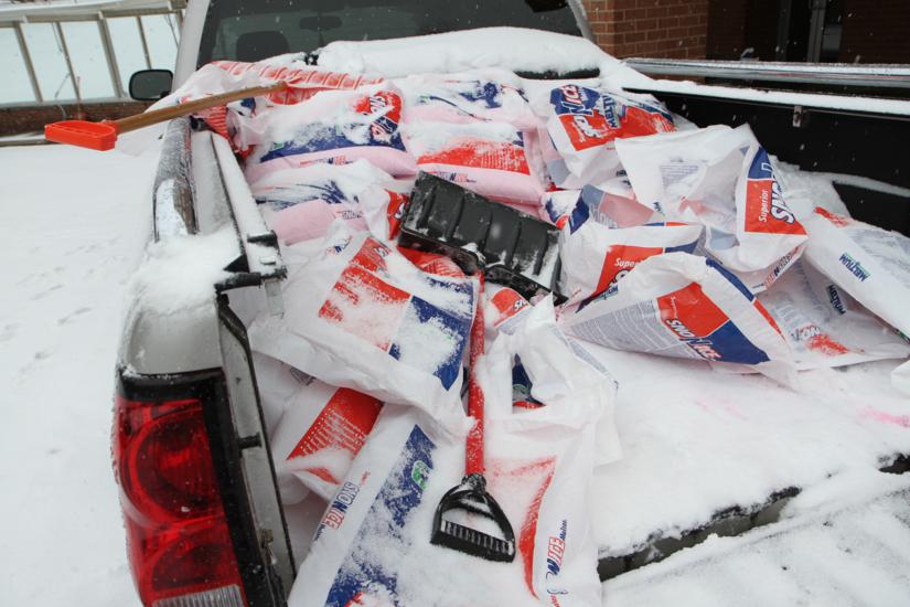
Residents have been reporting a shortage of salt and other snow clearing supplies in local grocery and hardware stores.

“Gonna have a slick sidewalk [tomorrow],” said Twitter user @TheRhino26.

File photo


Update at 6:55 p.m. — The Office of Personnel Management has announced that federal offices will be closed Monday.

The National Weather Service has upgraded its previous Winter Storm Watch for Arlington and the D.C. region to a Winter Storm Warning.

Forecasters are calling for 6 or more inches of snow between midnight tonight and Monday afternoon.

… WINTER STORM WARNING REMAINS IN EFFECT FROM MIDNIGHT TONIGHT TO 6 PM EST MONDAY…

* PRECIPITATION TYPE… FREEZING RAIN… SLEET… AND HEAVY SNOW.

* ACCUMULATIONS… UP TO ONE TENTH INCH OF ICE… THEN 6 TO 10 INCHES OF SNOW.

* TIMING… RAIN CHANGES TO FREEZING RAIN AND SLEET FROM NORTH TO SOUTH AFTER MIDNIGHT TONIGHT… THEN BECOMES HEAVY SNOW LATE TONIGHT AND CONTINUING THROUGH MONDAY.

* TEMPERATURES… DROPPING FROM THE LOWER 30S AROUND MIDNIGHT TO THE MID 20S LATE TONIGHT… THEN LOWER 20S MONDAY.

* WINDS… NORTH 10 TO 15 MPH. GUSTS UP TO 25 MPH LATE TONIGHT AND MONDAY.

* IMPACTS… HAZARDOUS TRAVEL DUE TO ICE AND SNOW OVERNIGHT AND MONDAY. BOTH THE MONDAY MORNING AND AFTERNOON RUSH HOURS WILL BE AFFECTED. POWER OUTAGES ARE POSSIBLE WITH THE COMBINATION OF ICE AND HEAVY SNOW.

PRECAUTIONARY/PREPAREDNESS ACTIONS…

THIS WINTER STORM WARNING IS FOR HEAVY SNOW… SLEET… AND FREEZING RAIN AND MEANS SEVERE WINTER WEATHER CONDITIONS ARE EXPECTED. SIGNIFICANT AMOUNTS OF ICE AND SNOW ARE FORECAST THAT WILL MAKE TRAVEL DANGEROUS AND POTENTIALLY CAUSE POWER OUTAGES. ONLY TRAVEL IN AN EMERGENCY. IF YOU MUST TRAVEL… KEEP AN EXTRA FLASHLIGHT… FOOD… AND WATER IN YOUR VEHICLE IN CASE OF AN EMERGENCY.


The National Weather Service has issued a Winter Storm Watch for Arlington and the rest of the D.C. region.

Forecasters say the region could get 5+ inches of snow Sunday night into Monday.

… WINTER STORM WATCH REMAINS IN EFFECT FROM LATE SUNDAY NIGHT THROUGH MONDAY AFTERNOON…

* PRECIPITATION TYPE… FREEZING RAIN… SLEET… AND SNOW.

* ACCUMULATIONS… POTENTIAL FOR FIVE OR MORE INCHES OF SNOW AND SLEET WITH SOME ICE ACCUMULATION FROM FREEZING RAIN ALSO POSSIBLE.

* TIMING… FREEZING RAIN AND SLEET LOOKS TO BEGIN OVERNIGHT SUNDAY WITH SNOW… HEAVY AT TIMES… LATE SUNDAY NIGHT THROUGH MONDAY.

* TEMPERATURES… IN THE LOWER 30S OVERNIGHT SUNDAY… MID TO UPPER 20S FOR MONDAY.

* WINDS… NORTH 5 TO 15 MPH WITH GUSTS UP TO 25 MPH.

* IMPACTS… POTENTIAL FOR HAZARDOUS TRAVEL OVERNIGHT SUNDAY FROM ICY ROADS… BECOMING SNOWY FOR MONDAY.

PRECAUTIONARY/PREPAREDNESS ACTIONS…

A WINTER STORM WATCH MEANS THERE IS A POTENTIAL FOR SIGNIFICANT SNOW… SLEET… AND ICE ACCUMULATIONS THAT MAY IMPACT TRAVEL. CONTINUE TO MONITOR THE LATEST FORECASTS.


The second act of today’s snowstorm has arrived, with a couple more inches of snow expected to accumulate.

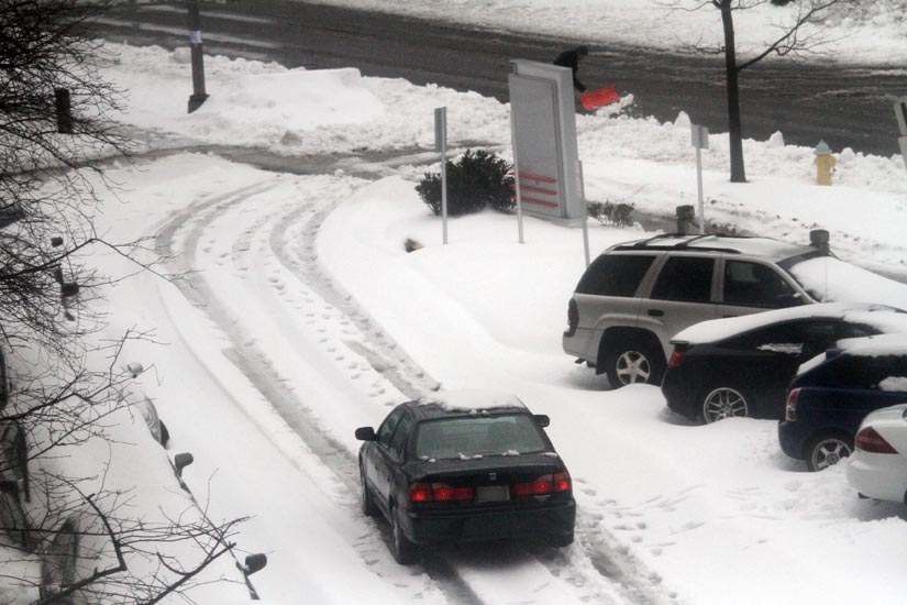
The snow returned just as Arlington road crews were starting to tackle still snow-covered neighborhood streets. It could force the snow plows to continue focusing on primary and secondary arteries while the residential roads remain barely, if at all passable.

“Crews have moved into residential streets with a focus on school related routes,” Arlington’s Dept. of Environmental Services tweeted late this afternoon (Thursday). “Additional snow late could affect progress on residential/neighborhood streets.”

From DES, later: “Big, heavy snow flakes falling again. Although many main roads are clear, please don’t drive so plows can continue to do job.”

DES said that it could take up to 36-48 hours to clear roads after a 10-inch snowfall, which Arlington is on the verge of reaching, depending where in the county you were measuring.

The snow caused other, unexpected problems on the roads in some parts of Arlington.

On Lee Highway, near Rosslyn, a nearly half-mile-long portion of the fence that runs along I-66 collapsed onto one of the still snow-covered travel lanes, according to police radio traffic.

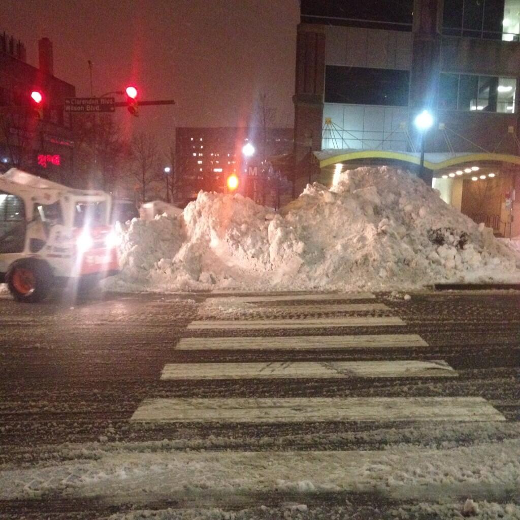
In Courthouse, a gigantic mound of plowed snow was piled up in the median, blocking a crosswalk adjacent to the Metro station. That is creating a hazard for pedestrians and drivers alike.

VDOT said tonight, before the snow started falling again, that it was making progress clearing roads in Northern Virginia.

“Interstates are mostly clear and wet,” VDOT said. “Primary roads are partially clear with some lanes open and many secondary roads remain snow-covered.”

VDOT warned that a refreeze may make driving even more treacherous overnight.

“Roads that appear to be bare pavement may become slick from sleet and refreeze,” the agency warned.

Other transportation options were slowly returning Thursday night.

Reagan National Airport’s main runway was back open as of 5:05 p.m., allowing some flights in and out. Still, many flights were canceled as a result of the 7 inches of wet snow that fell, making it difficult for crew to clear runways and taxiways.

“There have been significant flight cancellations throughout the day,” the airport authority said on its website. “Check with your airline for flight information and do not drive to the airport before confirming the status of your flight.”

Metrorail continued to operate on a near-normal schedule. Metrobuses are now running on major arteries again.

ART bus service, however, is still suspended. Arlington Transit said it will wait until 10:00 tonight to post an update on planned ART and STAR service tomorrow.

The National Weather Service, meanwhile, says that the D.C. area could receive another 2-4 inches of snow tonight before the winter storm system finally moves out.

… HEAVY SNOW TO IMPACT AREAS EAST OF BLUE RIDGE INCLUDING THE GREATER METROPOLITAN AREAS OF WASHINGTON AND BALTIMORE THROUGH MIDNIGHT…

AREAS OF MODERATE TO HEAVY SNOW WILL IMPACT THE REGION THROUGH MIDNIGHT… WHERE 2 TO 4 INCHES OF NEW SNOWFALL ACCUMULATION CAN BE EXPECTED AS AN UPPER LEVEL DISTURBANCE MOVES THROUGH THE AREA. AT 600 PM… MOST LOCATIONS HAVE TRANSITIONED TO ALL SNOW AFTER THE SLEET AND RAIN FROM EARLIER IN THE AFTERNOON.

THE AREAS OF HEAVIEST SNOWFALL WILL OCCUR ALONG AND EAST OF INTERSTATE 95… AND ALSO IN HOWARD AND CARROLL COUNTIES IN MARYLAND.

THIS ADDITIONAL SNOWFALL WILL MAKE TRAVEL HAZARDOUS AS ROADS WILL ONCE AGAIN BECOME SNOW COVERED. VISIBILITIES WILL BE LOWERING TO BELOW 1/4 MILE AT TIMES… SO TRAVEL IS NOT ADVISED UNLESS ABSOLUTELY NECESSARY.


(Updated at 9:45 a.m.) The National Weather Service has issued a Winter Storm Warning for the D.C. region.

The warning, issued last night, revises down the snow forecast for Arlington to 4-8 inches.

… WINTER STORM WARNING REMAINS IN EFFECT FROM 8 PM THIS EVENING TO 3 PM EST THURSDAY…

* PRECIPITATION TYPE… HEAVY SNOW AND SLEET.

* ACCUMULATIONS… 4 TO 8 INCHES.

* TIMING… SNOW WILL OVERSPREAD THE AREA FROM THE SOUTH BETWEEN 8 PM AND 10 PM THIS EVENING. SNOW WILL BE HEAVY AT TIMES TONIGHT INTO THURSDAY MORNING. SNOW IS EXPECTED MIX WITH SLEET AND RAIN LATE THURSDAY MORNING INTO THURSDAY AFTERNOON.

* TEMPERATURES… IN THE MID 20S TONIGHT… SLOWLY RISING INTO THE LOWER TO MIDDLE 30S THURSDAY AFTERNOON.

* WINDS… NORTHEAST 5 TO 15 MPH THIS EVENING… BECOMING NORTH AND INCREASING TO 10 TO 20 MPH WITH GUSTS TO 35 MPH LATE TONIGHT AND THURSDAY.

* IMPACTS… ROADS WILL BECOME SNOW AND SLEET COVERED AND SLIPPERY. TRAVEL WILL BE DANGEROUS TONIGHT AND THURSDAY. HEAVY WET SNOW COUPLED WITH GUSTY WINDS COULD LEAD TO SOME POWER OUTAGES.

PRECAUTIONARY/PREPAREDNESS ACTIONS…

A WINTER STORM WARNING FOR HEAVY SNOW MEANS SEVERE WINTER WEATHER CONDITIONS ARE EXPECTED OR OCCURRING. SIGNIFICANT AMOUNTS OF SNOW ARE FORECAST THAT WILL MAKE TRAVEL DANGEROUS. ONLY TRAVEL IN AN EMERGENCY. IF YOU MUST TRAVEL… KEEP AN EXTRA FLASHLIGHT… FOOD… AND WATER IN YOUR VEHICLE IN CASE OF AN EMERGENCY.


The National Weather Service has issued a Winter Storm Watch for Arlington and the rest of the D.C. region.

Forecasters say more than five inches of snow and sleet are possible Wednesday night into Thursday.

… WINTER STORM WATCH IN EFFECT FROM WEDNESDAY EVENING THROUGH THURSDAY EVENING…

THE NATIONAL WEATHER SERVICE IN BALTIMORE MD/WASHINGTON HAS ISSUED A WINTER STORM WATCH… WHICH IS IN EFFECT FROM WEDNESDAY EVENING THROUGH THURSDAY EVENING.

* PRECIPITATION TYPE… SNOW AND SLEET

* ACCUMULATIONS… THE POTENTIAL FOR 5 OR MORE INCHES OF SNOW AND SLEET.

* TIMING… SNOW IS EXPECTED TO MOVE IN FROM THE SOUTH WEDNESDAY EVENING. SNOW MAY MIX WITH SLEET AND RAIN LATE WEDNESDAY NIGHT AND THURSDAY. THE SNOW COULD BE HEAVY AT TIMES WEDNESDAY NIGHT AND THURSDAY.

* TEMPERATURES… IN THE MID TO UPPER 20S 20S WEDNESDAY NIGHT… SLOWLY RISING INTO THE LOWER AND MIDDLE 30S THURSDAY AFTERNOON.

* WINDS… NORTH 15 TO 25 MPH WITH GUSTS UP TO 35 MPH.

* IMPACTS… ROADS MAY BECOME SNOW AND SLEET COVERED AND SLIPPERY. TRAVEL MAY BE DANGEROUS WEDNESDAY NIGHT AND THURSDAY. HEAVY WET SNOW COULD LEAD TO SOME POWER OUTAGES.

PRECAUTIONARY/PREPAREDNESS ACTIONS…

A WINTER STORM WATCH MEANS THERE IS A POTENTIAL FOR SIGNIFICANT SNOW AND SLEET ACCUMULATIONS THAT MAY IMPACT TRAVEL. CONTINUE TO MONITOR THE LATEST FORECASTS.


View More Stories