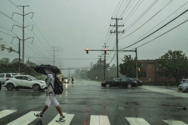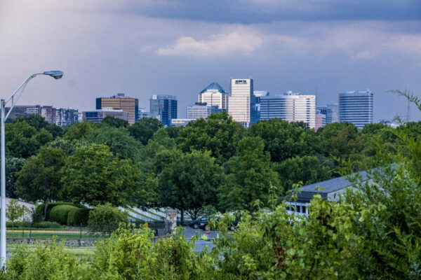
Storm clouds over Rosslyn (staff photo by Jay Westcott)

Update at 4:15 p.m. — A Severe Thunderstorm Warning has now been issued for most of Arlington.

BULLETIN – IMMEDIATE BROADCAST REQUESTED
Severe Thunderstorm Warning
National Weather Service Baltimore MD/Washington DC
407 PM EDT Mon May 16 2022

The National Weather Service in Sterling Virginia has issued a

* Severe Thunderstorm Warning…

* Until 445 PM EDT.

* At 407 PM EDT, a severe thunderstorm was located over Bull Run, or 8 miles southwest of Centreville, moving east at 40 mph.

HAZARD…70 mph wind gusts and half dollar size hail.

SOURCE…Radar indicated.

IMPACT…Damaging winds will cause some trees and large branches to fall. This could injure those outdoors, as well as damage homes and vehicles. Roadways may become blocked by downed trees. Localized power outages are possible. Unsecured light objects may become projectiles.

* Locations impacted include… Arlington, Alexandria, Centreville, Waldorf, Dale City, Annandale, Clinton, Springfield, Fort Washington, Fairfax, Fort Hunt, Vienna, Groveton, Falls Church, Huntington, Coral Hills, Mantua, Fort Belvoir, Woodbridge and National Harbor.

PRECAUTIONARY/PREPAREDNESS ACTIONS…

For your protection move to an interior room on the lowest floor of a building.

Earlier: Arlington and surrounding areas are now under a Severe Thunderstorm Watch.

The watch is in effect until 9 p.m.

Severe storms are possible late this afternoon into the evening, forecasters say. The storms could pack damaging winds and hail.

More from social media:


Update at 9:20 p.m. — There are Metro delays after a tornado might have touched down in the Tysons area.

Update at 9 p.m. — The Tornado Warning has been cancelled, according to NBC 4’s Doug Kammerer.

Update at 8:50 p.m. — Part of North Arlington is now under a Tornado Warning.

BULLETIN – EAS ACTIVATION REQUESTED
Tornado Warning
National Weather Service Baltimore MD/Washington DC
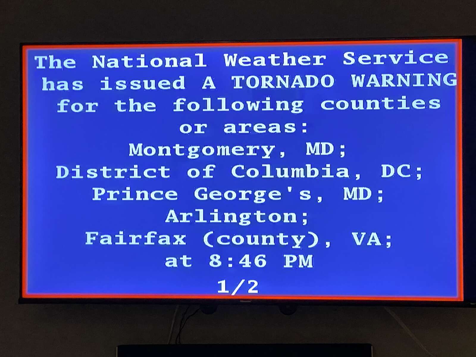
846 PM EDT Thu Mar 31 2022

The National Weather Service in Sterling Virginia has issued a

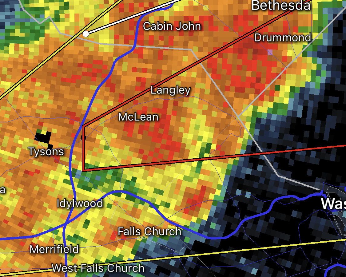
* Tornado Warning for… The northern District of Columbia… Southeastern Montgomery County in central Maryland… Northwestern Prince Georges County in central Maryland… North central Arlington County in northern Virginia… Northeastern Fairfax County in northern Virginia…

* Until 915 PM EDT.

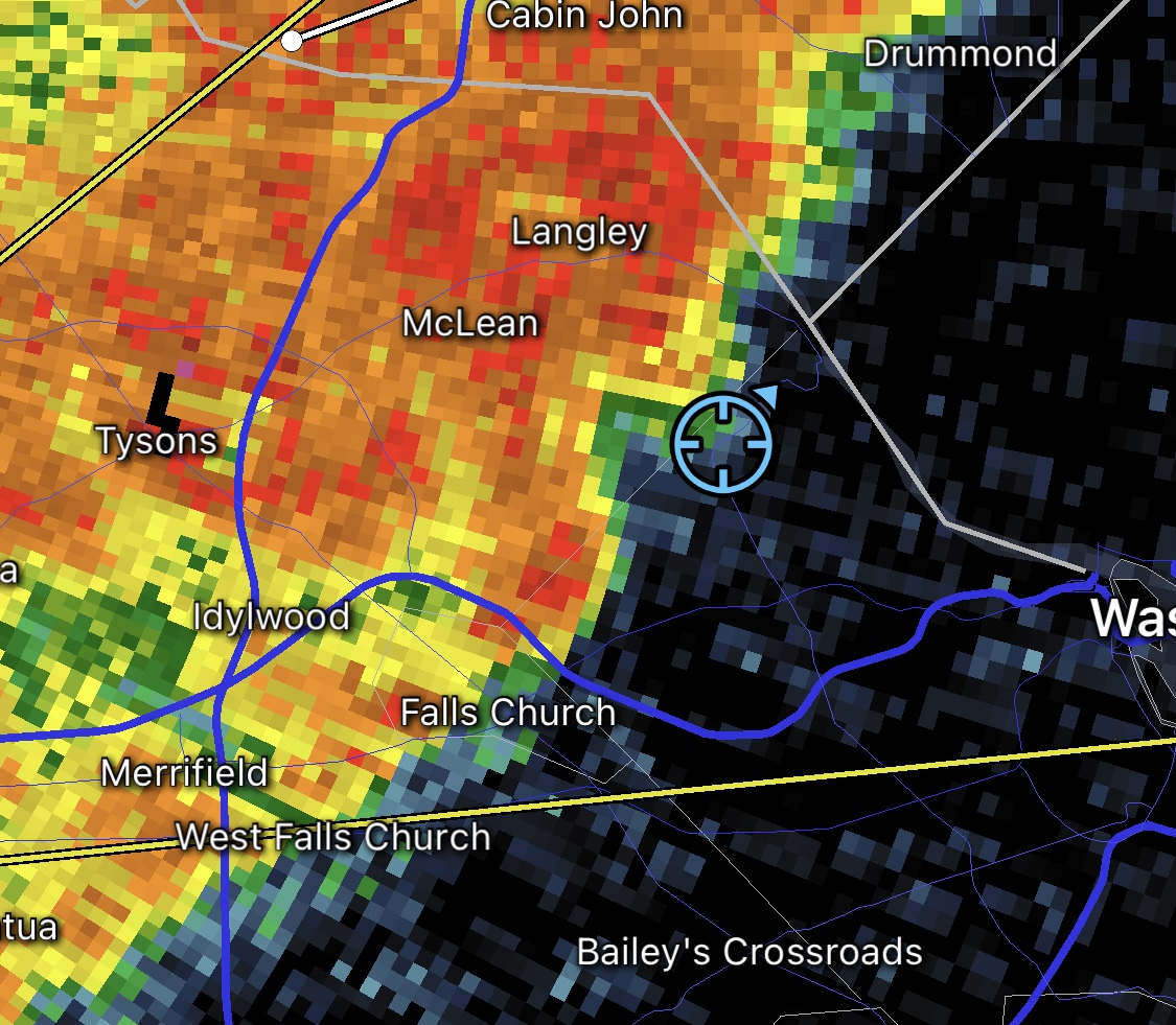
* At 846 PM EDT, a severe thunderstorm capable of producing a tornado was located over Mclean, moving east at 30 mph.

HAZARD…Tornado.

SOURCE…Radar indicated rotation.

IMPACT…For those in the direct path of a tornado touchdown, flying debris will be dangerous to those caught without shelter. Damage to roofs, siding, and windows may occur. Mobile homes may be damaged or destroyed. Tree damage is likely.

* This dangerous storm will be near… Arlington around 855 PM EDT. Bethesda, Martin`s Additions, American University, Friendship Village and Georgetown around 900 PM EDT. Fort Totten and Chevy Chase around 905 PM EDT. Langley Park, Takoma Park and Hillandale around 910 PM EDT. Hyattsville and Adelphi around 915 PM EDT.

Other locations impacted by this tornadic thunderstorm include Rivercrest, Little Falls, Brentwood, West Mclean, Chevy Chase Village, Catholic University, Langley, North Brentwood, Chillum and National Zoo.

PRECAUTIONARY/PREPAREDNESS ACTIONS…

TAKE COVER NOW! Move to a basement or an interior room on the lowest floor of a sturdy building. Avoid windows. If you are outdoors, in a mobile home, or in a vehicle, move to the closest substantial shelter and protect yourself from flying debris.

Earlier: Part of Arlington is now under a Severe Thunderstorm Warning.

A Tornado Warning has also been issued for parts of Fairfax County, including neighboring McLean.

More from the National Weather Service:

818 PM EDT Thu Mar 31 2022

The National Weather Service in Sterling Virginia has issued a

* Severe Thunderstorm Warning…

* Until 900 PM EDT.

* At 818 PM EDT, a severe thunderstorm was located over Centreville, moving east at 50 mph.

HAZARD…60 mph wind gusts.

SOURCE…Radar indicated.

IMPACT…Damaging winds will cause some trees and large branches to fall. This could injure those outdoors, as well as damage homes and vehicles. Roadways may become blocked by downed trees. Localized power outages are possible. Unsecured light objects may become projectiles.

* Locations impacted include… Arlington, Centreville, Bethesda, Reston, Annandale, College Park, Greenbelt, Fairfax, Langley Park, Beltsville, Vienna, Falls Church, Largo, Coral Hills, Bladensburg, Mantua, Pimmit Hills, Mclean, Fedex Field and American Legion Bridge.

PRECAUTIONARY/PREPAREDNESS ACTIONS…

For your protection move to an interior room on the lowest floor of a building.


High winds in Courthouse (staff photo by Jay Westcott)

Enjoy today’s potentially record-breaking warmth while it lasts — by midnight it will be gone with the wind (and storms).

A Wind Advisory has been issued for the D.C. area today and will take effect at 11 a.m. Forecasters say gusts of up to 50 mph are possible this afternoon and evening.

More from the National Weather Service:

…WIND ADVISORY IN EFFECT FROM 11 AM THIS MORNING TO 1 AM EST TUESDAY…

* WHAT…Southwest winds 15 to 25 mph with gusts up to 50 mph expected shifting to northwest this evening.

* WHERE…Portions of The District of Columbia, central, north central, northeast, northern and southern Maryland and central, northern and northwest Virginia.

* WHEN…From 11 AM this morning to 1 AM EST Tuesday.

* IMPACTS…Gusty winds could blow around unsecured objects. Tree limbs could be blown down and a few power outages may result.

Residents are advised to secure outdoor objects, to be careful when driving, and to prepare for possible power outages.

In addition to the wind, thunderstorms are possible today starting around 4 or 5 p.m. The storms could be severe.

On the back end of the storms, expect falling temperatures and a couple hours of rain.


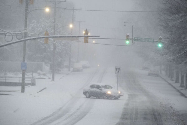
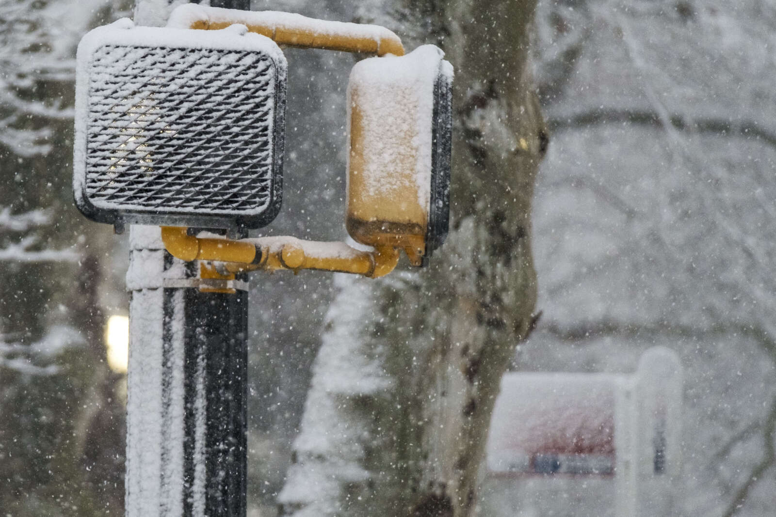
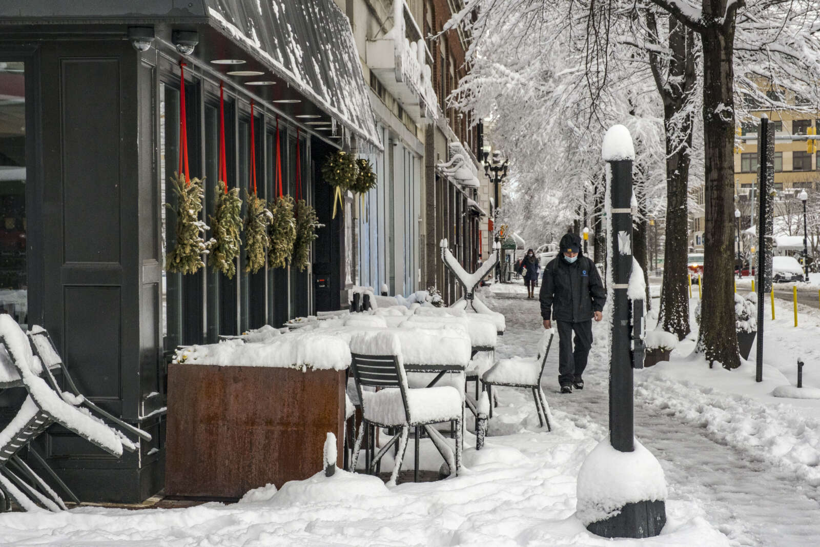
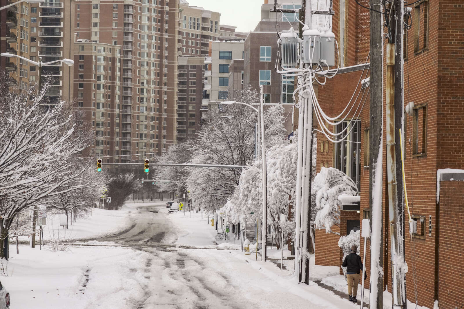
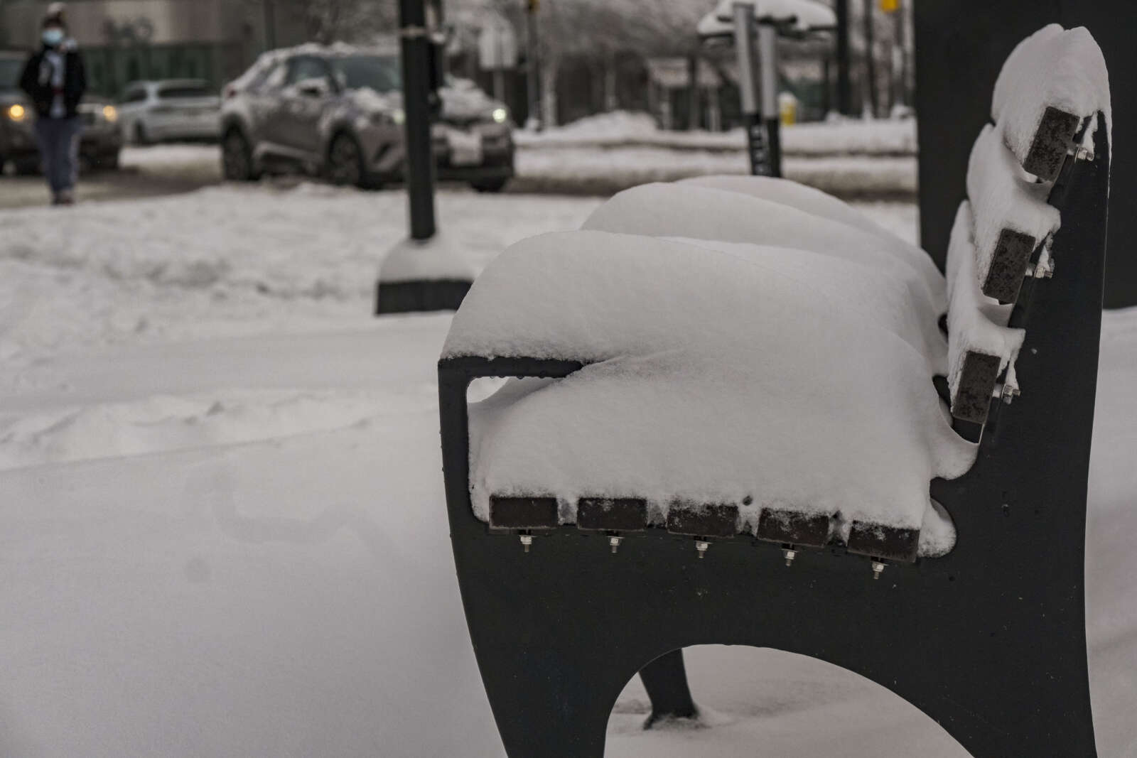
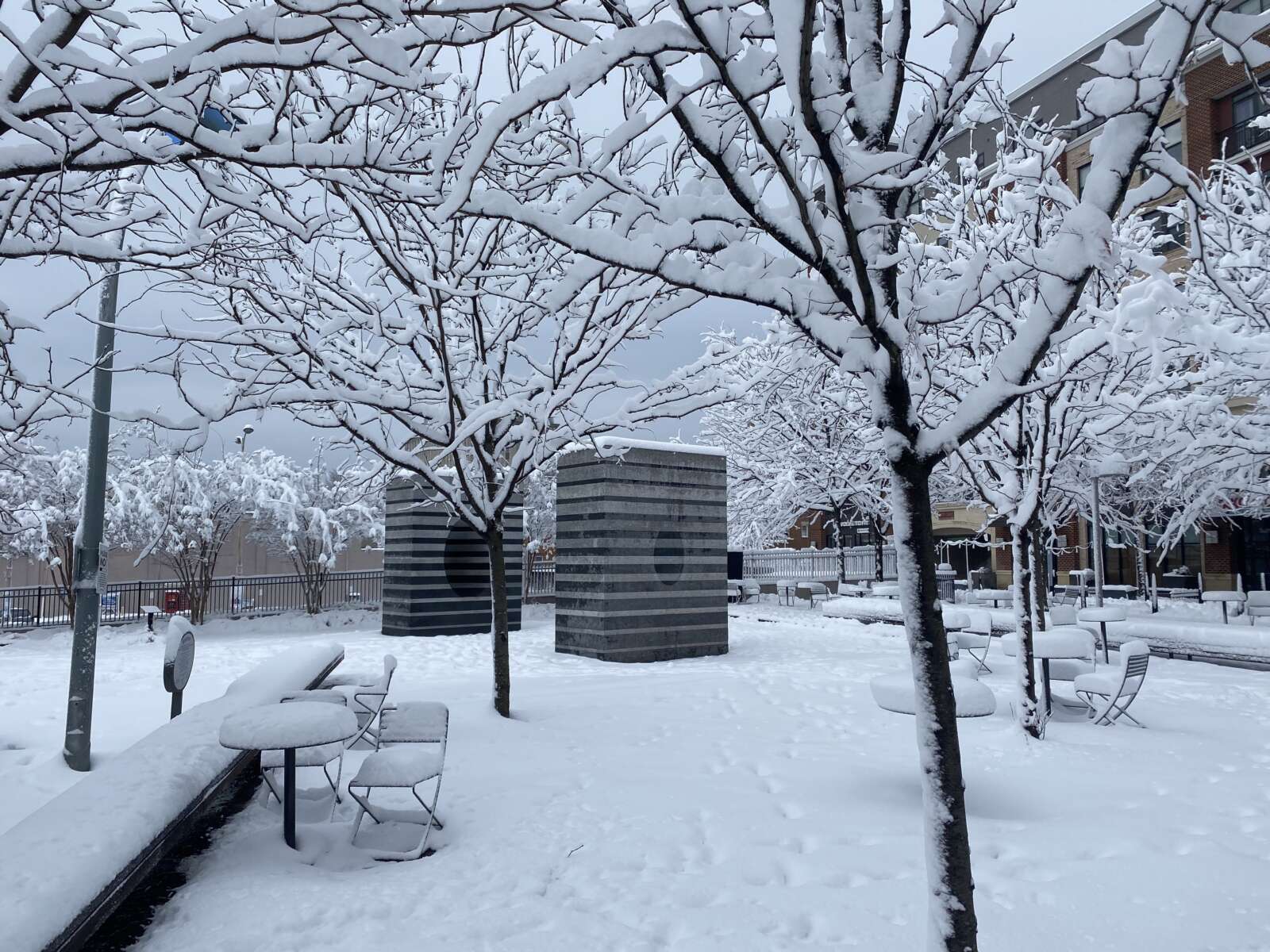
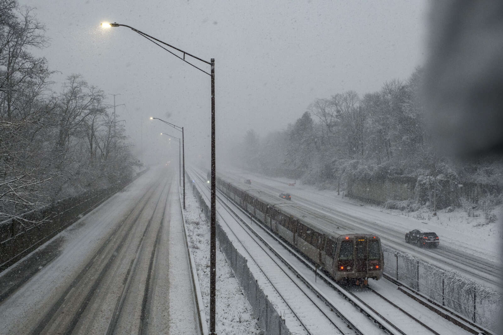
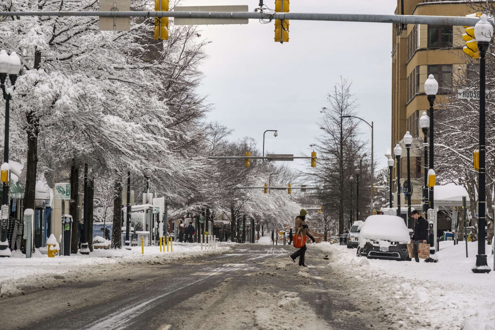
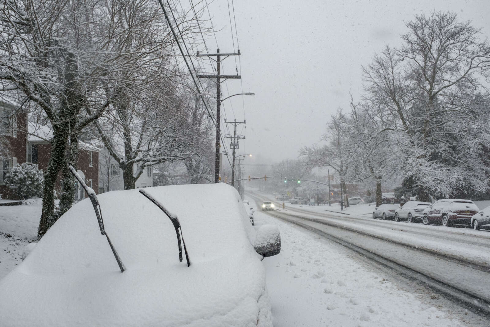
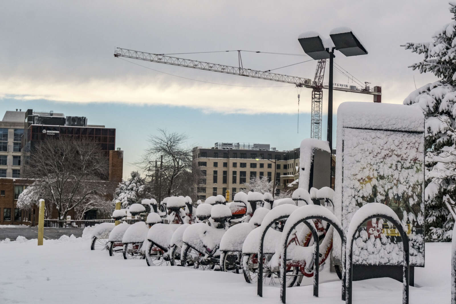
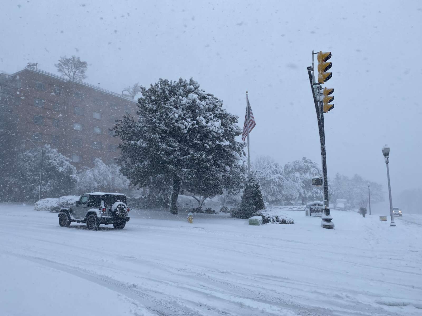
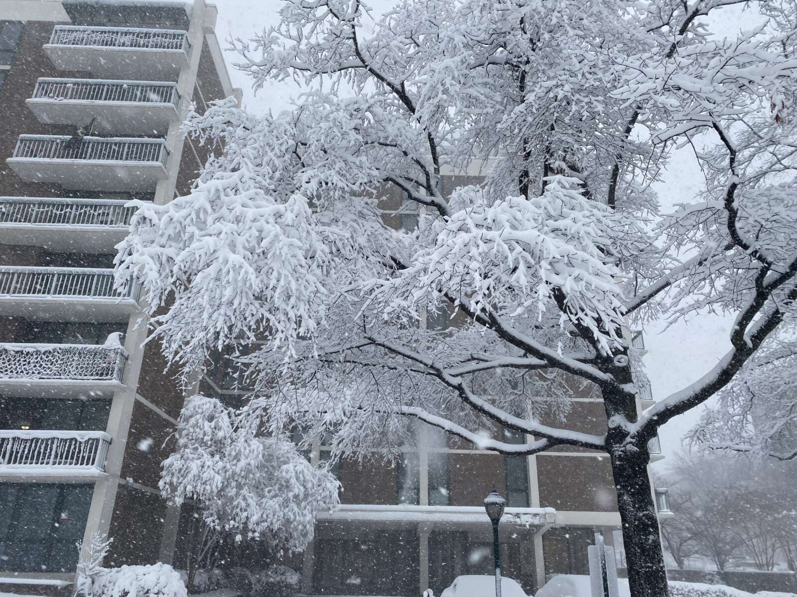
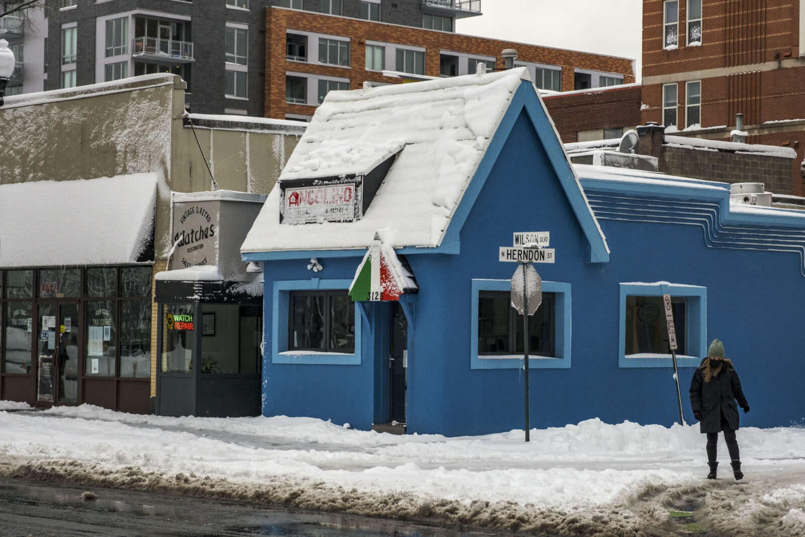
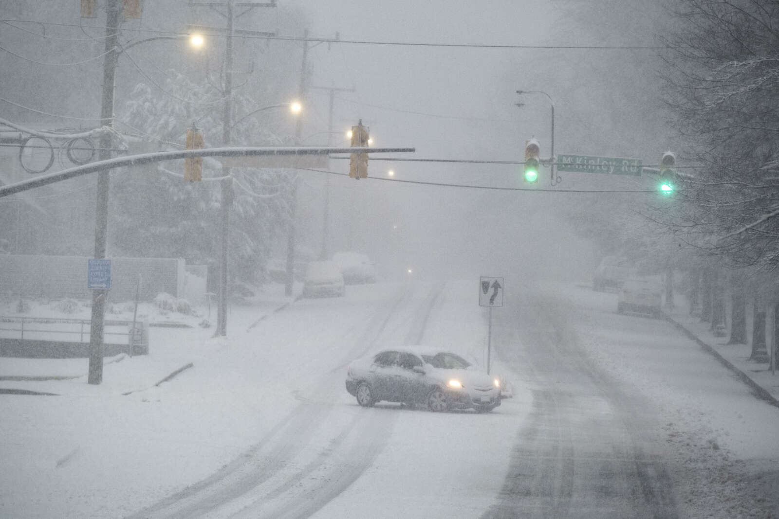
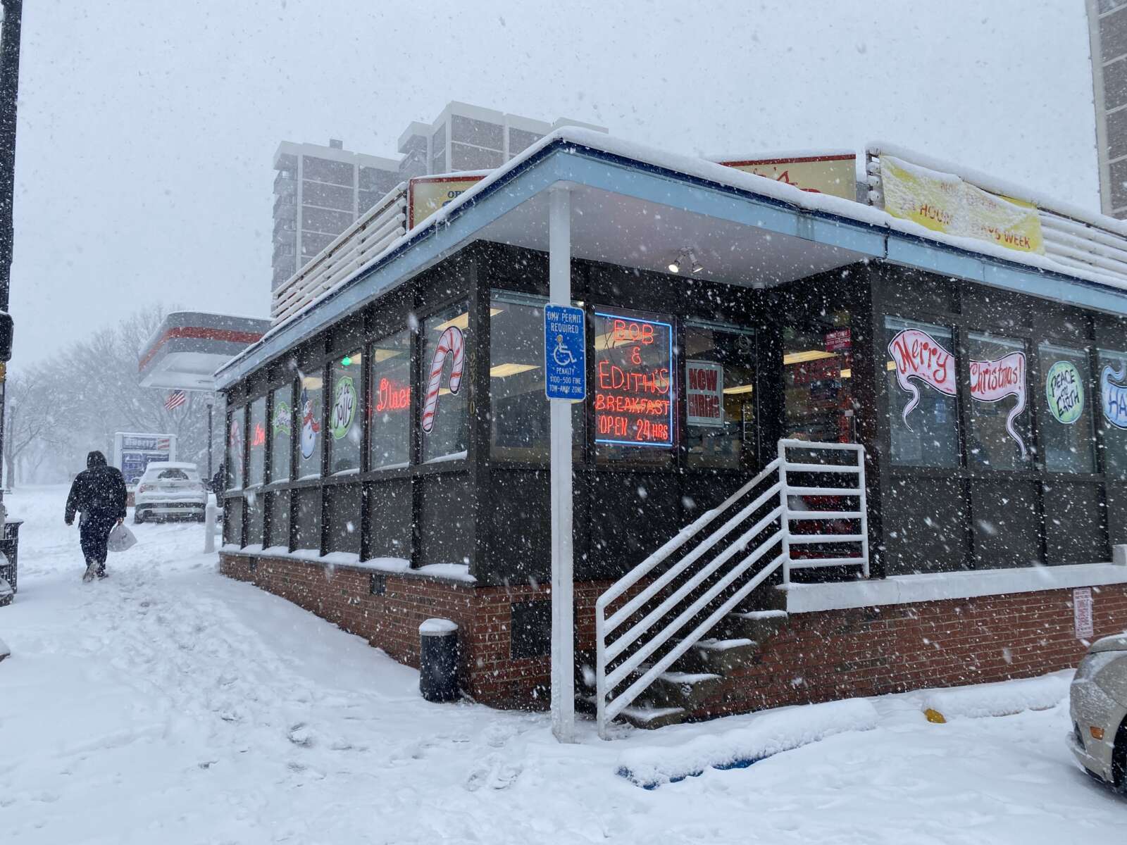
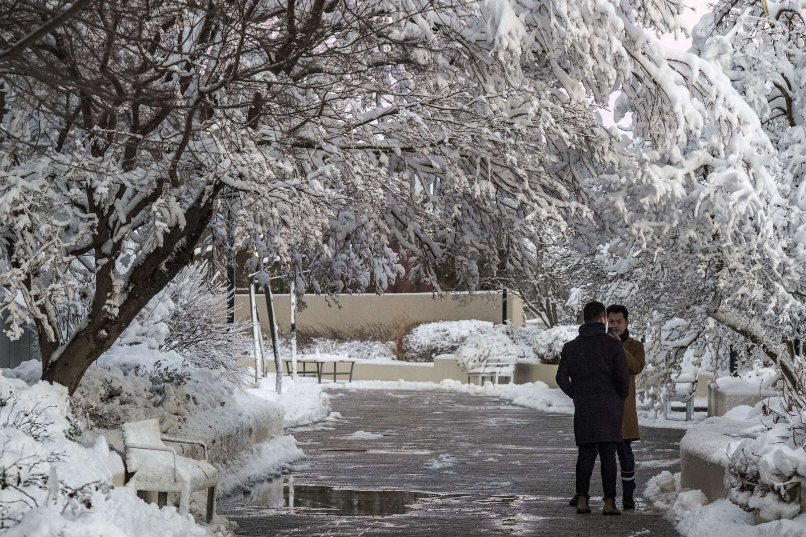
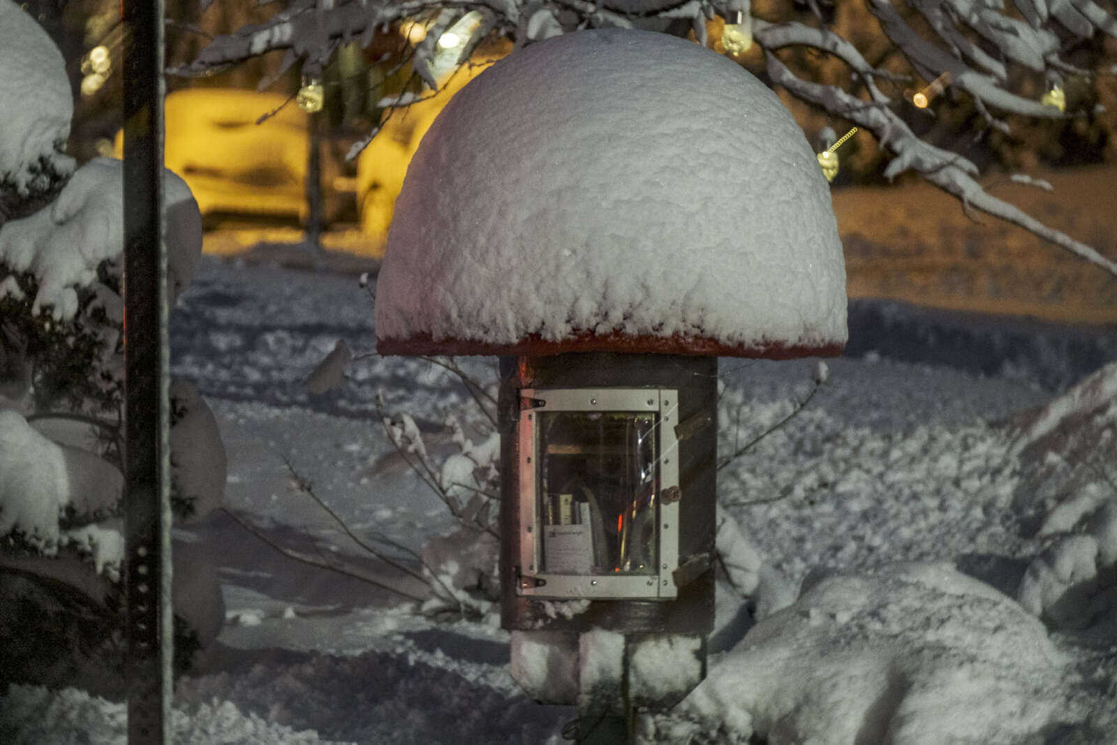
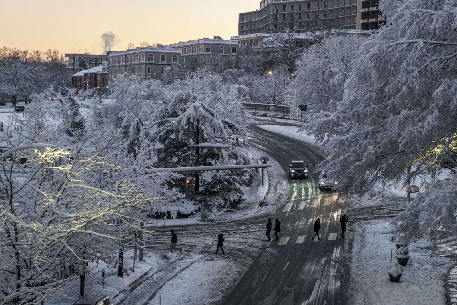
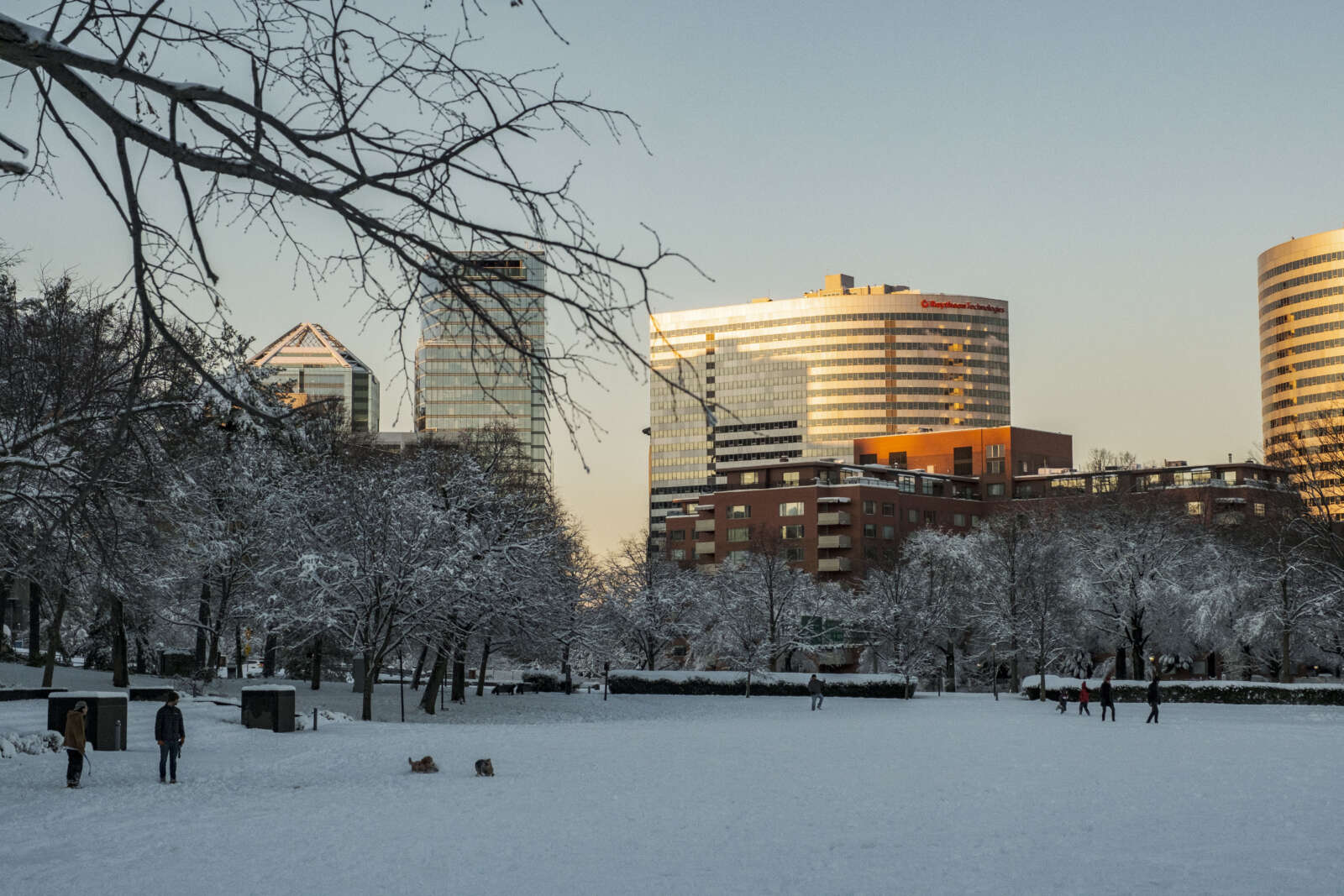
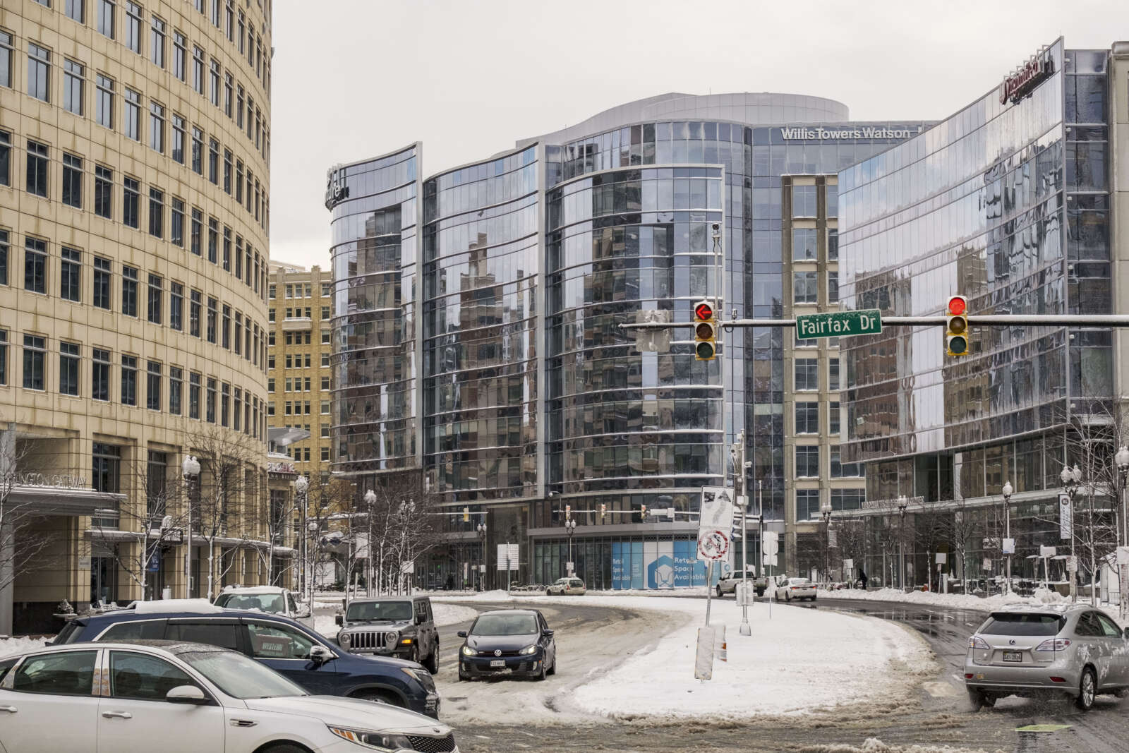
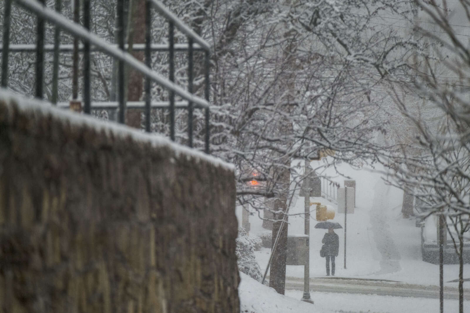
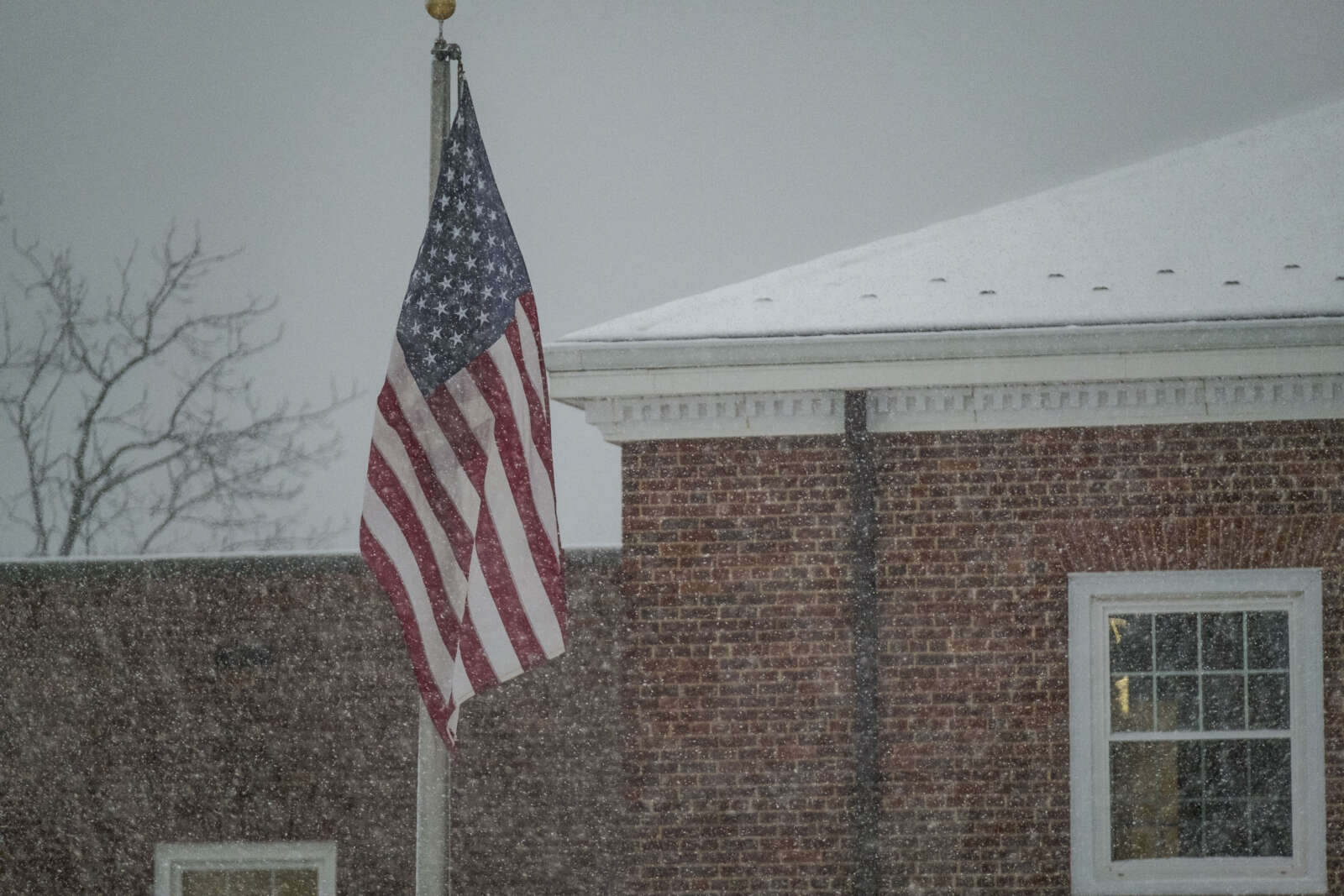
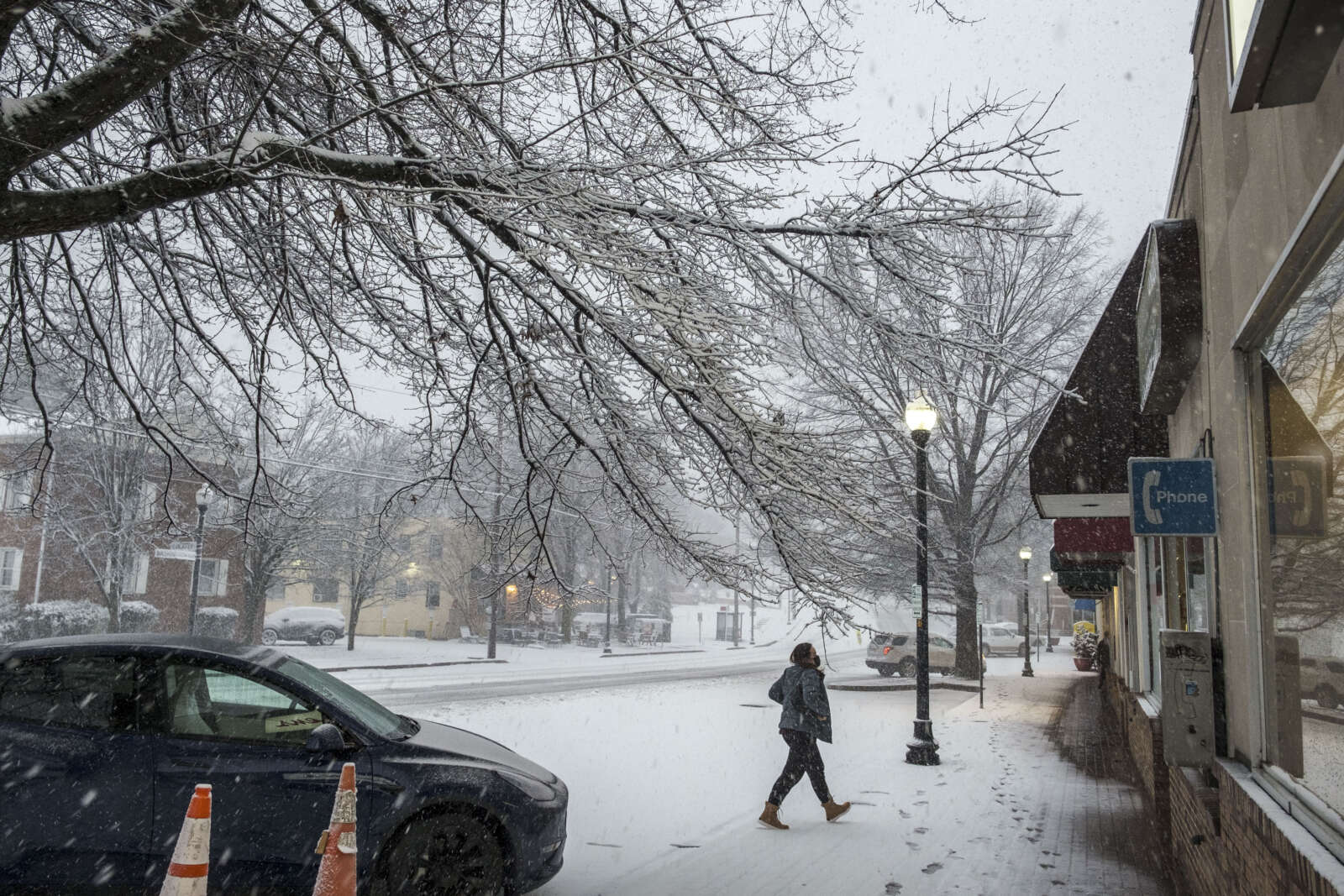
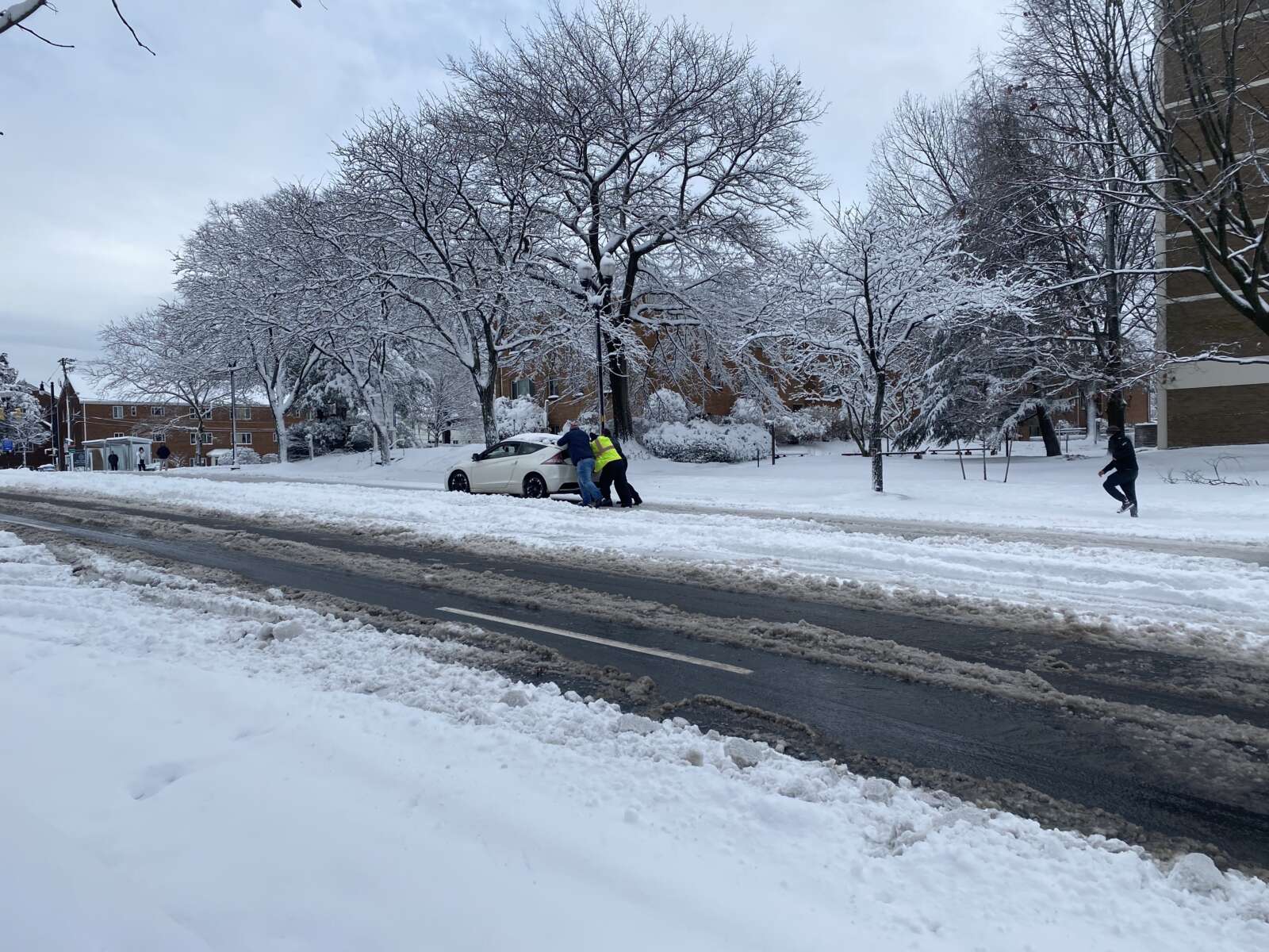
Snow in Westover on Jan. 3, 2022 (staff photo by Jay Westcott)
Arlington — and much of the D.C. region — is now officially under a Winter Storm Watch.

The watch was issued just before 3 p.m. Forecasters are calling for up to 5 inches of accumulating snow, but 1-3 inches is most likely, according to the National Weather Service.

Gusty winds will accompany the storm and, paired with the snowfall, could fell tree branches and cause another bout of power outages.

From NWS:

URGENT – WINTER WEATHER MESSAGE
National Weather Service Baltimore MD/Washington DC
251 PM EST Fri Jan 14 2022
…WINTER STORM WATCH IN EFFECT FROM SUNDAY AFTERNOON THROUGH MONDAY MORNING…

* WHAT…Significant snow and wintry precipitation possible. Total snow accumulations of 1 to 3 inches are most likely, with up to 5 inches possible. Ice accumulations of up to one tenth of an inch are possible. Winds could gust as high as 45 mph.

* WHERE…The District of Columbia, portions of central and northern Maryland, and central and northern Virginia.

* WHEN…From Sunday afternoon through Monday morning.

* IMPACTS…Plan on slippery road conditions. The hazardous conditions could impact the Monday morning commute.

* ADDITIONAL DETAILS…Snow may fall at 1 to 3 inches per hour late Sunday afternoon and early Sunday evening, resulting in nearly impassable roads.

PRECAUTIONARY/PREPAREDNESS ACTIONS…

Monitor the latest forecasts for updates on this situation.

Ahead of the storm, which is expected to have more severe impacts west of the D.C. area, Virginia Gov. Ralph Northam today declared a state of emergency.

“We expect this storm to have a significant impact in many parts of Virginia,” Northam said in a statement. “Declaring a state of emergency now allows our emergency responders to prepare, and to move supplies and equipment where they expect to need them the most. This also gives Governor-elect Youngkin the ability to respond to any storm needs swiftly. I urge Virginians to take this storm seriously and make preparations now.”

Arlington County and VDOT crews, meanwhile, have been pre-treating roads in advance of the winter weather, which is expected to start as snow Saturday afternoon before transitioning to sleet, freezing rain and then plain rain.

https://twitter.com/VaDOTNOVA/status/1482081483644973059


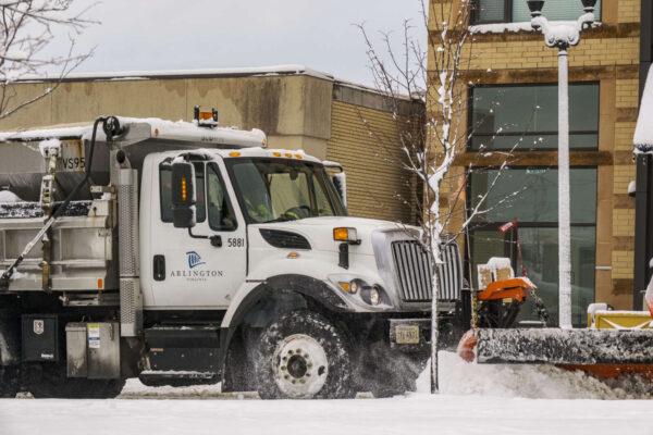
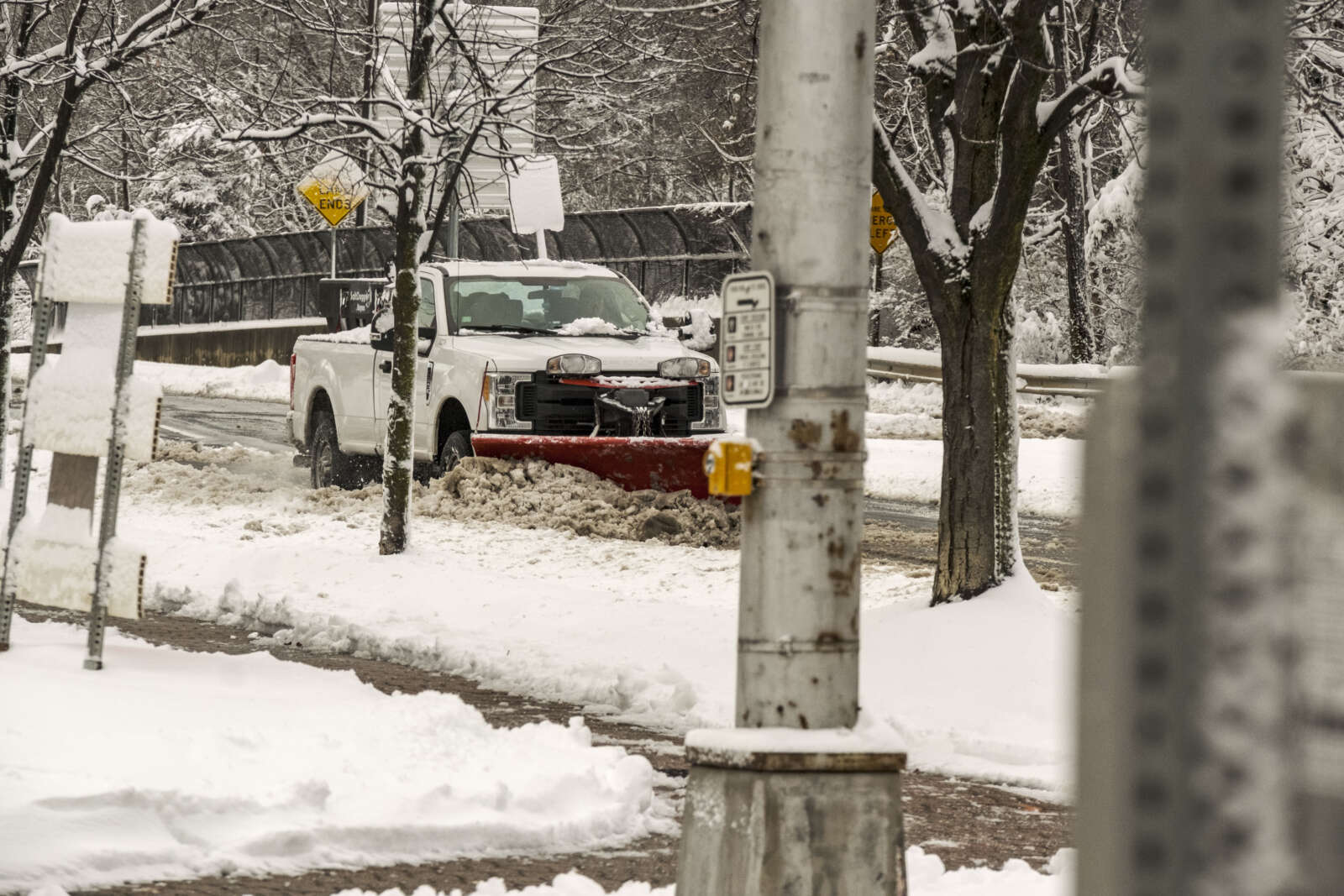
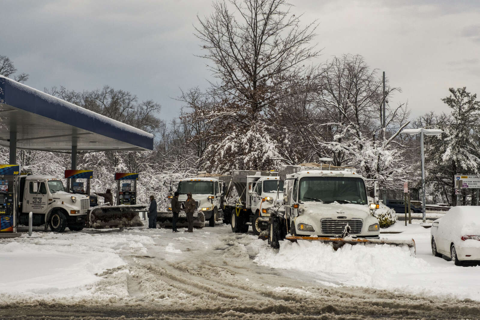
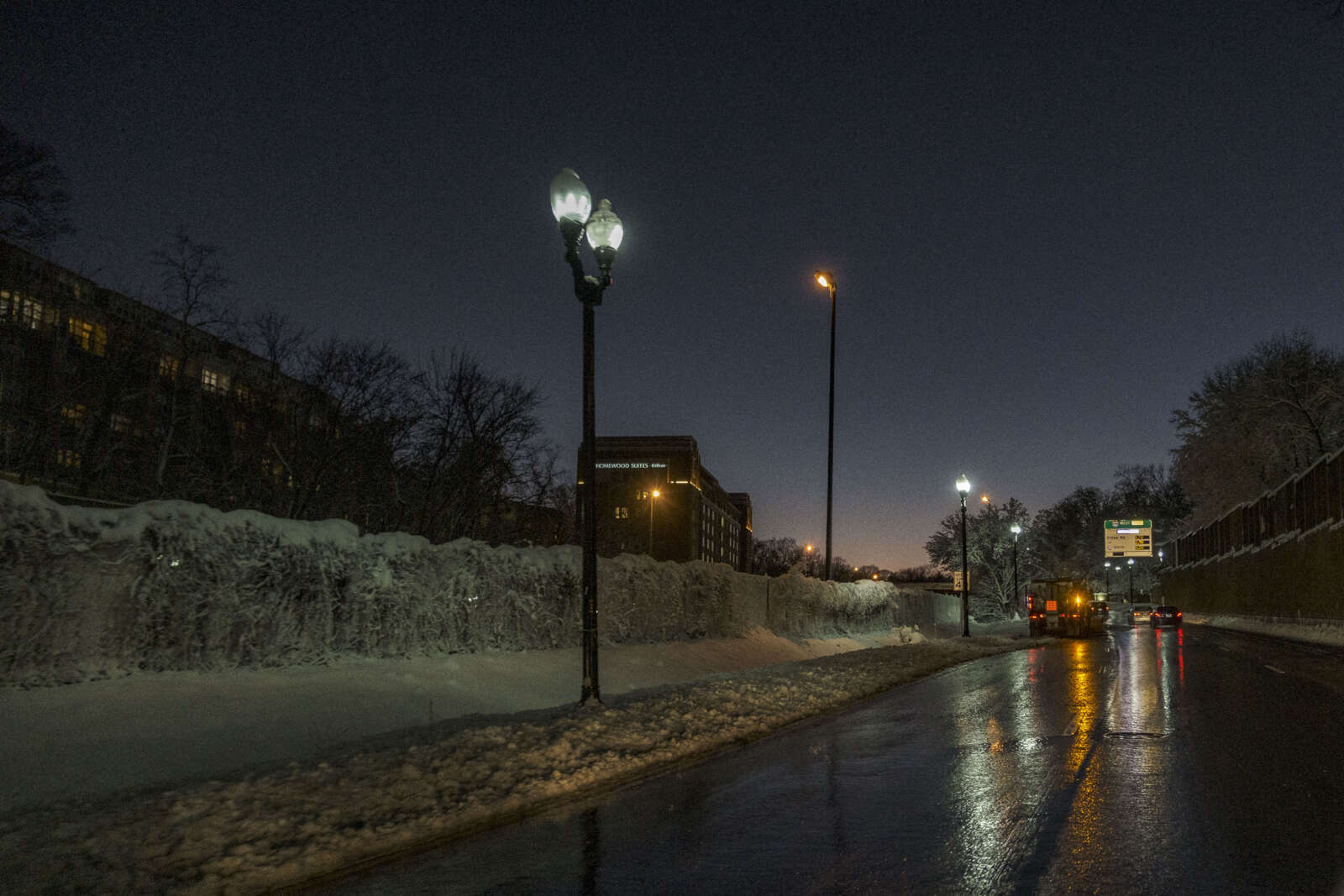
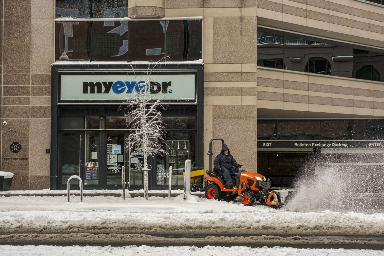
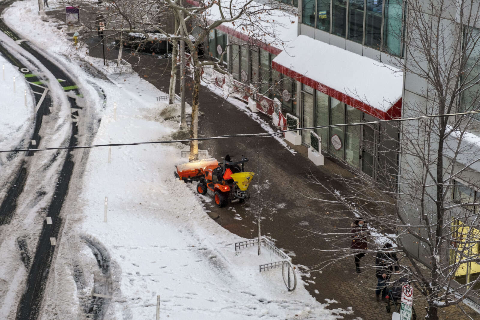
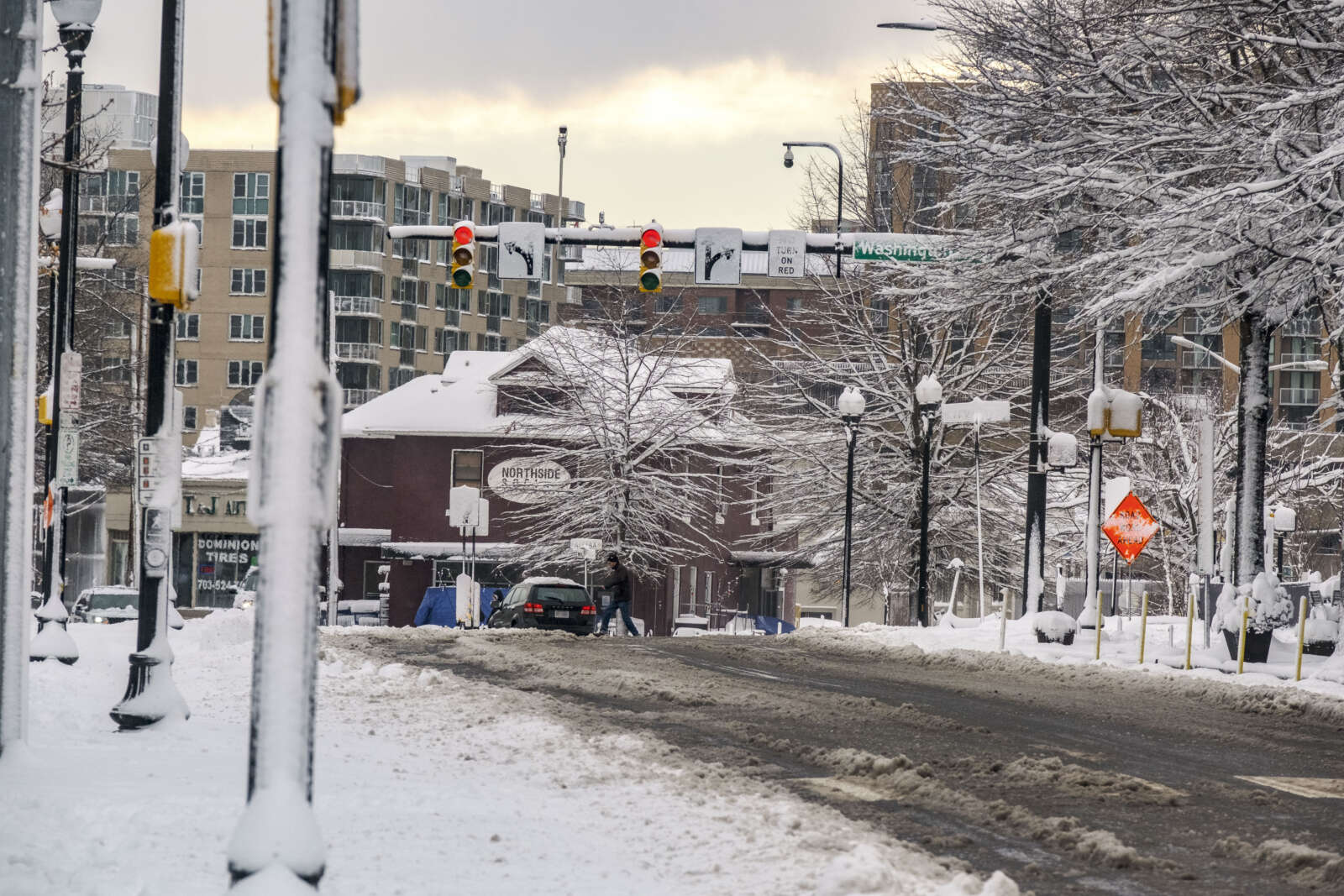
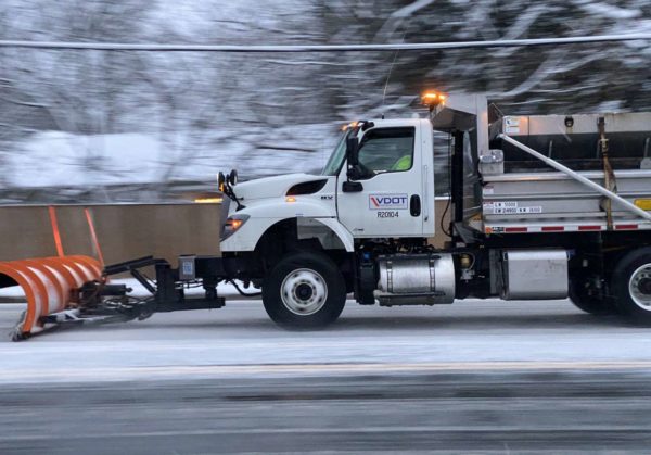
A snow removal truck on Washington Blvd in Clarendon (staff photo by Jay Westcott)

If you didn’t already know, the brine lines on the roadways have told you by now: Arlington will likely see snow this weekend.

Residents have been regularly checking the forecast for days in anticipation of what is likely to be more winter weather. At this point, the forecast suggests we’ll see a few inches of snow starting Sunday afternoon, before a changeover to sleet, freezing rain and then plain rain.

“This will create very hazardous driving conditions for a time Sunday as roads will be frozen from cold air ahead of the storm,” according to the Washington Post’s Capital Weather Gang.

Arlington started putting down brine yesterday (Thursday) afternoon and the county’s Department of Environmental Services recommends residents continue to check forecasts, look for updates on its social media and avoid travel during and in the hours after a storm. Residents can check in on road conditions through the county’s traffic cams and snow plow map.

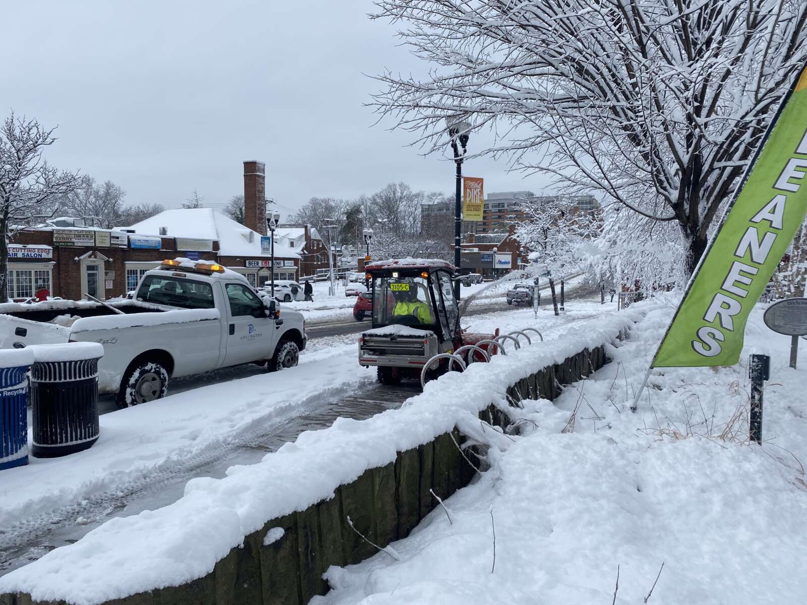
The county will treat roadways and trails as snow begins to fall but won’t start to plow until there are at least 2 inches of snow. Crews will clear snow from all streets and county trails, with primary and secondary routes tackled first and neighborhood streets last.

“We should know more Friday in terms of whether the precipitation turns to rain with above-freezing temperatures into Monday,” DES spokesman Peter Golkin said. “The fact that Monday is a holiday will help with any large storm response because of less traffic. Crews need space and time clearing snow and ice.”

The Virginia Department of Transportation started putting brine down on state roadways after this morning’s commute.

https://twitter.com/VaDOTNOVA/status/1481699122587578373


It’s been tough sledding, so to speak, for Arlington snow crews this week.

With the help of some milder temperatures, crews have nearly completed their snow removal effort following Monday’s winter storm. But with another storm looming tonight, threatening another 2-4 inches of snow, there will not be time to rest.

“Arlington crews continue to clear the remnants of Monday’s storm ahead of this next event, moving in tonight,” said Peter Golkin, spokesman for the county’s Dept. of Environmental Services. “They’re clearing intersections and turn lanes while pre-treating bridges and other key spots with brine and salt.”

Officials today revealed more details about the challenges the county faced in dealing with a major snowstorm during a Covid wave and at the end of a holiday weekend.

“Just a few days out, forecasts did not anticipate Monday’s event and the first indication of a significant weather event was issued Sunday morning at 4:30 a.m.,” Golkin recounted. “Arlington crews worked through Sunday to load salt spreader V-boxes, attach plows and mobilize equipment for the response as most Arlington equipment is multi-purpose as part of year-round operations.”

Indeed, as of Saturday (New Year’s Day) morning, two days before the storm, forecasters were only calling for “relatively light precipitation” and limited accumulation, in part because Sunday was expected to be warm and the precipitation would start as rain.

“Roads were not pretreated because the incoming Monday system, as forecast, began with heavy rain, which washes away brine, making it useless,” Golkin noted

By Monday evening, after 6-10 inches of snow fell, the county acknowledged what many locals observed: streets were not getting cleared as quickly as in past storms. While Arlington and other D.C. area jurisdictions don’t have the snow removal firepower of more northern locales with more frequent significant snow events, the plowing was taking longer than usual.

The county blamed “COVID19-related staffing shortages.”

“Our first Monday team was at approximately 50% of typical response, due to staffing shortages from the direct or collateral impact of COVID, plus the challenges of people returning from a scheduled holiday weekend,” Golkin said this morning. “Monday’s second shift starting at noon was further hampered when members who live far from Arlington got caught in traffic backups including at least eight stranded for more than 20 hours on I-95.”

“Our contractors for additional trucks had the same issues and were naturally in high demand across the region,” the spokesman added. “By Tuesday afternoon, we had mobilized above the 75% of County level for a typical big response and supplemented with contractor resources.”

Now with another storm looming, county and state officials are sounding a louder alarm — even with lower anticipated snowfall totals.

“With the National Weather Service calling for another significant round of winter weather making its way across Virginia Thursday night (Jan. 6) into Friday morning (Jan. 7), the Virginia State Police are encouraging Virginians to be weather aware… to plan ahead… and to avoid traveling during inclement conditions,” state police said today.

Virginia Gov. Ralph Northam has even declared a preemptive state of emergency.

(more…)


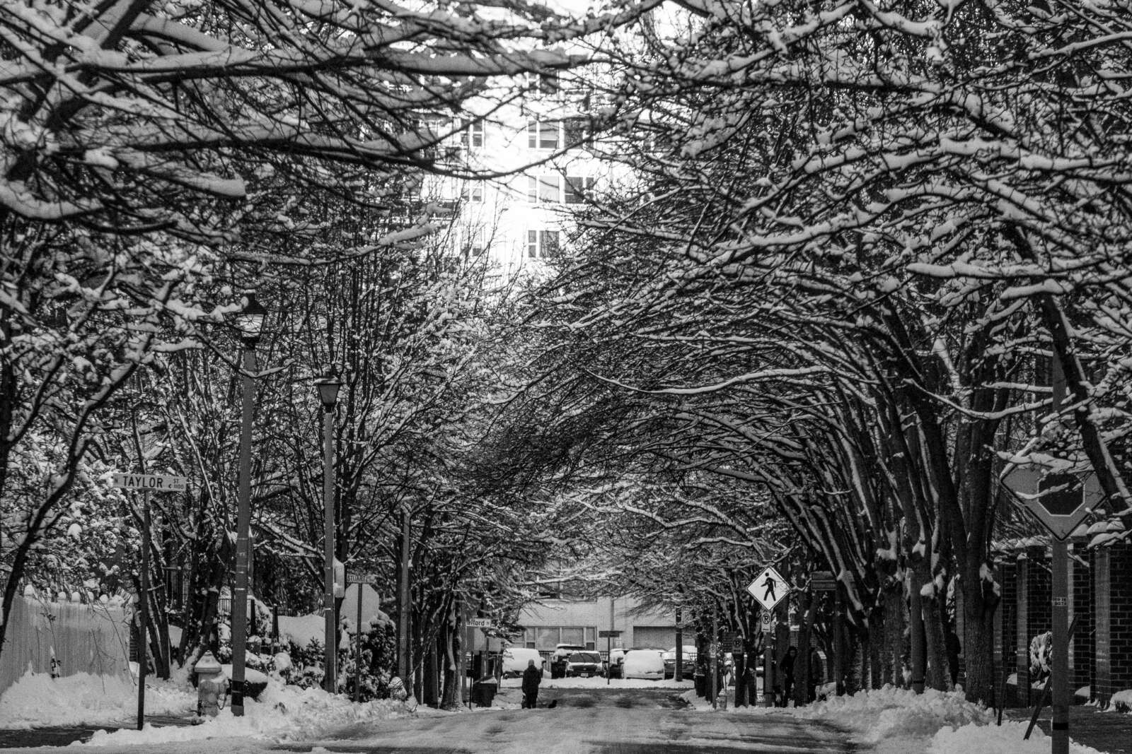
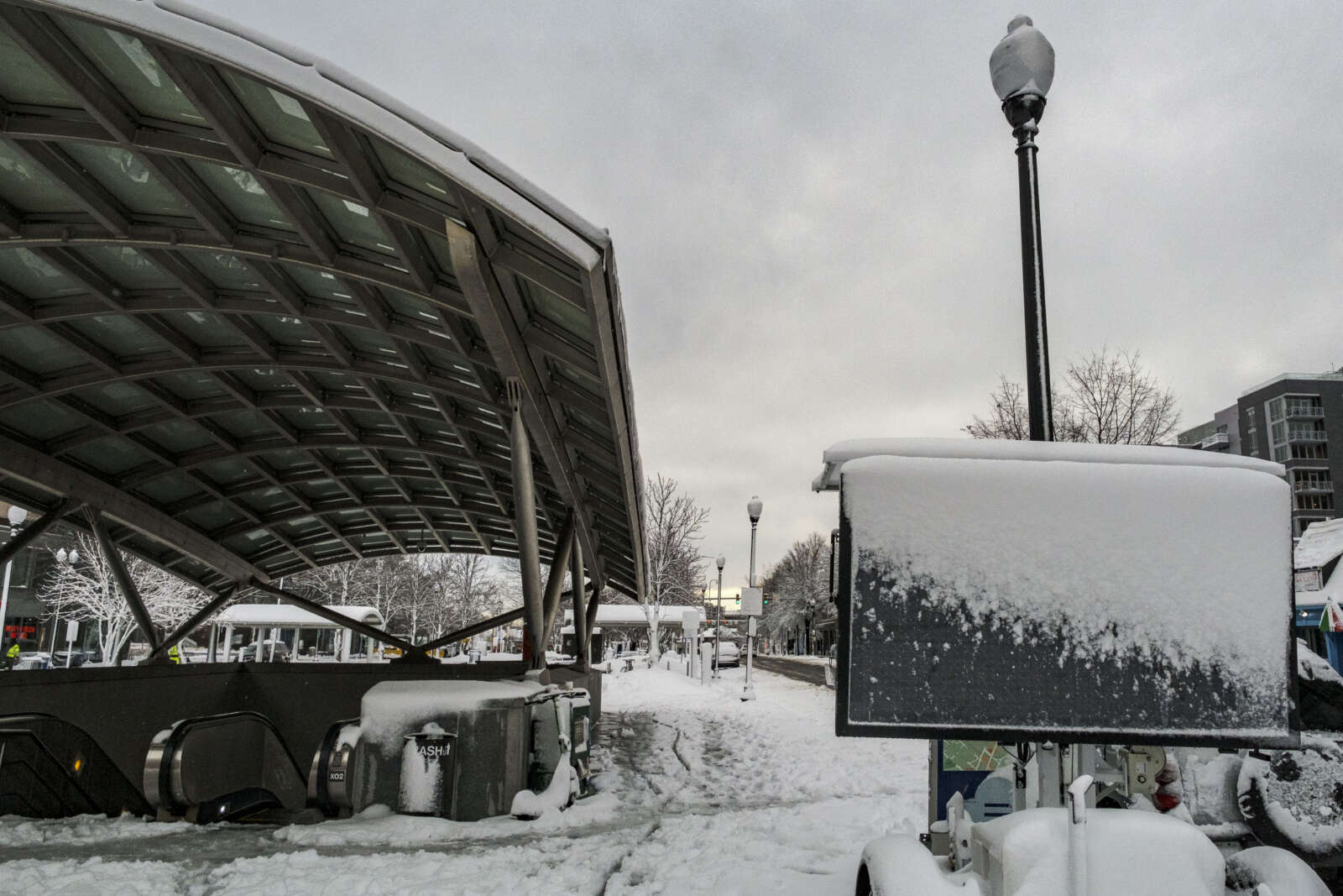
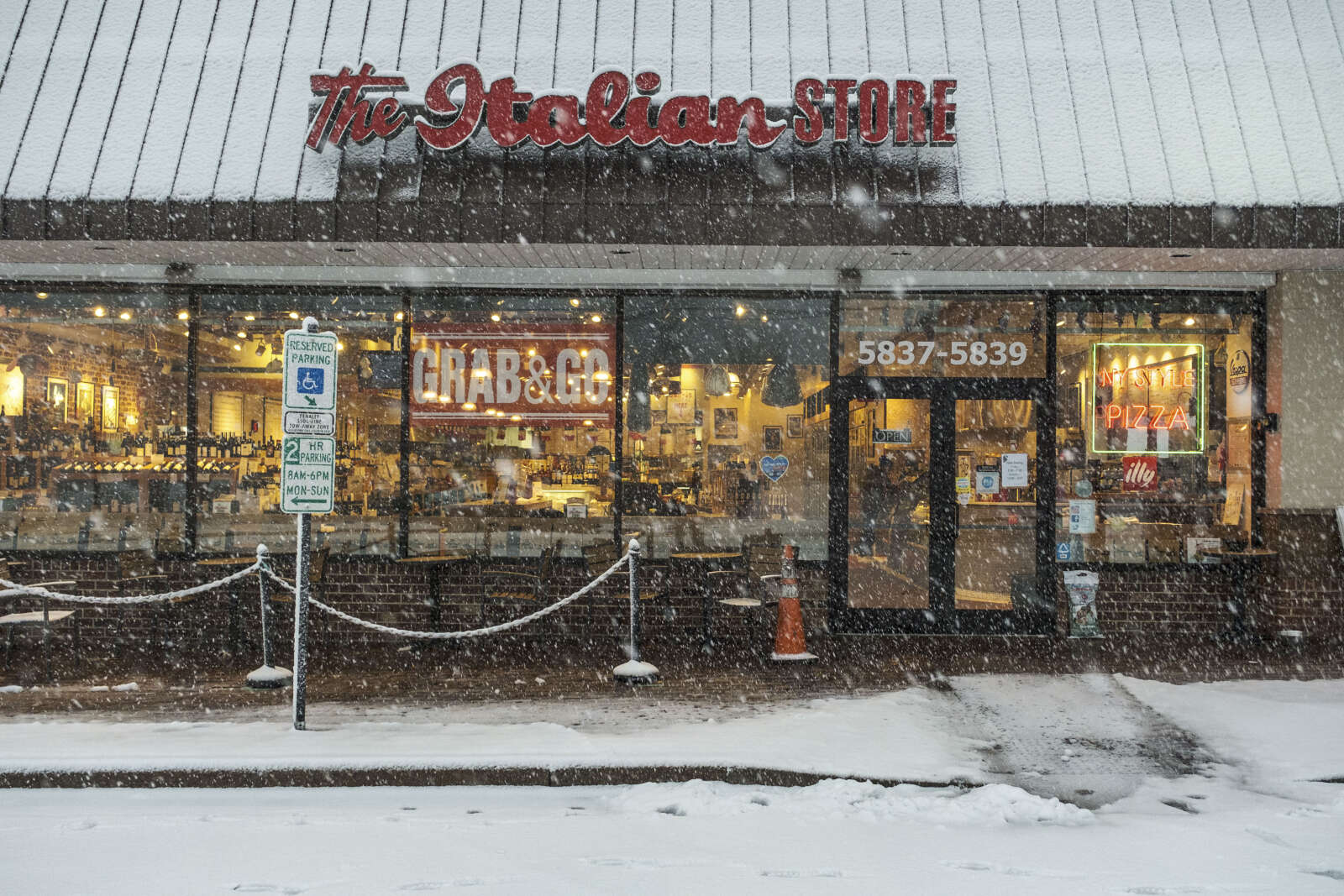
Snow in Westover (staff photo by Jay Westcott)

More snow is on the way.

The National Weather Service just issued a Winter Weather Advisory, saying 2-4 inches of accumulation is likely between Thursday night and Friday morning.

The snowfall could bring more travel disruptions and closures. It follows three days of school closures in Arlington after a winter storm dropped 6-10 inches of snow on Monday.

From NWS:

233 PM EST Wed Jan 5 2022
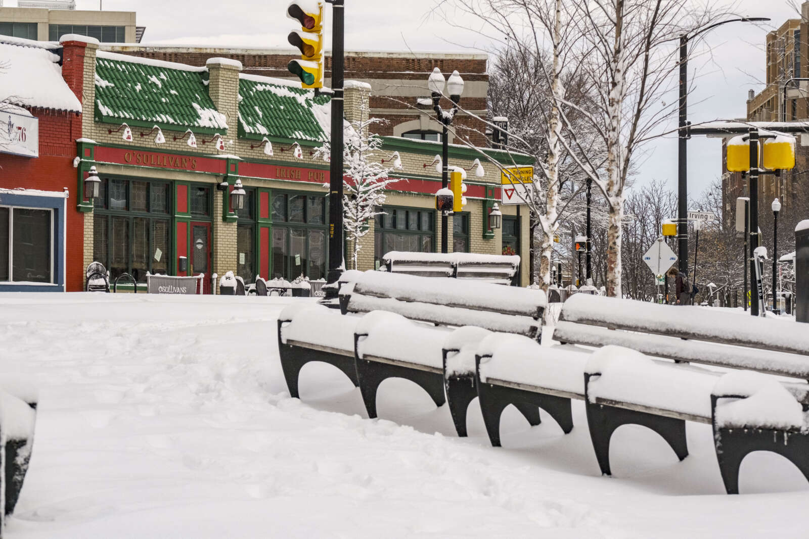
…WINTER WEATHER ADVISORY IN EFFECT FROM 9 PM THURSDAY TO 5 AM EST FRIDAY…

* WHAT…Snow. Total snow accumulations 2 to 4 inches. Isolated high amounts of around 5 inches are possible.

* WHERE…The District of Columbia, portions of northern and central Maryland, and northern Virginia.

* WHEN…From 9 PM Thursday to 5 AM EST Friday.

* IMPACTS…Plan on slippery road conditions. The hazardous conditions could impact the Friday morning commute.

* ADDITIONAL DETAILS…The heaviest snow is expected between 10 PM and 2 AM when snowfall rates of 1 inch per hour are possible.

PRECAUTIONARY/PREPAREDNESS ACTIONS…

Slow down and use caution while traveling.

When venturing outside, watch your first few steps taken on steps, sidewalks, and driveways, which could be icy and slippery, increasing your risk of a fall and injury.

More from social media:

https://twitter.com/ReadyArlington/status/1478782959943659520


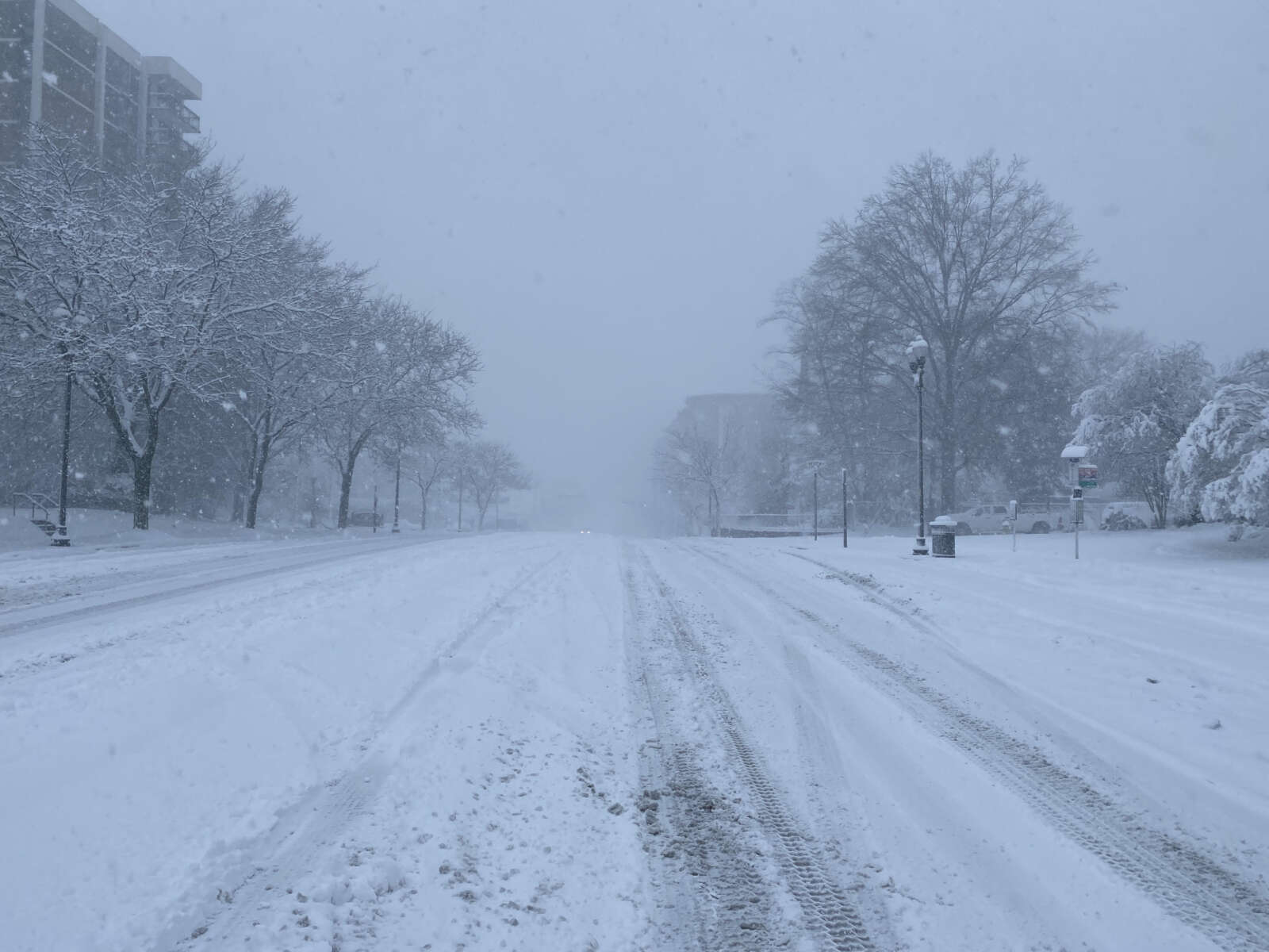
For the first time in nearly three years, Arlington experienced a significant snowfall.

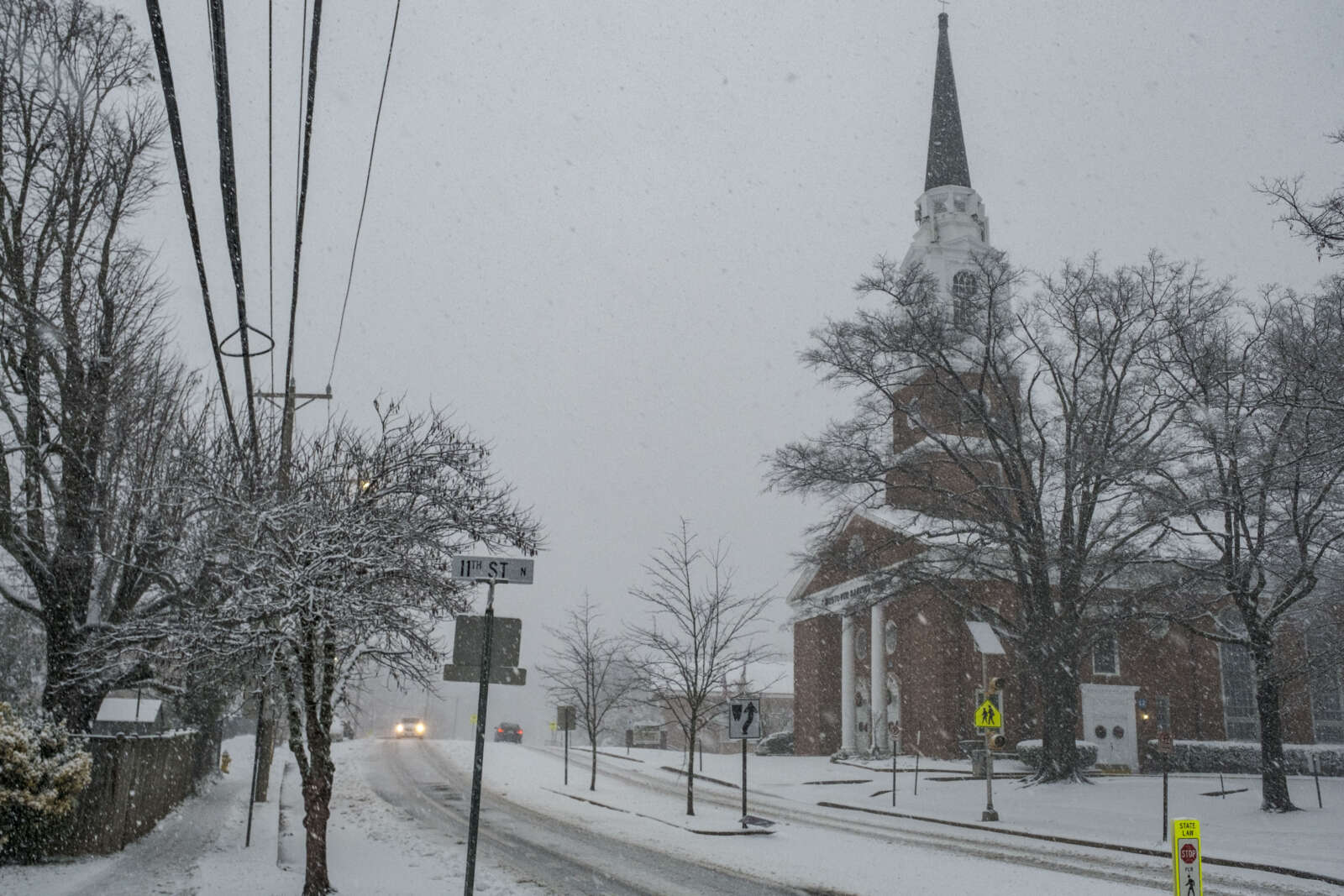
Starting very early yesterday morning and finally tapering off in afternoon, preliminary estimates suggest that the county got close to seven inches of snow.

The storm brought power outages, closures, the suspension of bus service, cancellation of trash pick-up, and numerous skidding cars.

It was a very bad day to be on the roads, with the Arlington and VDOT crews unable to pre-treat the streets because the storm started off as rain.

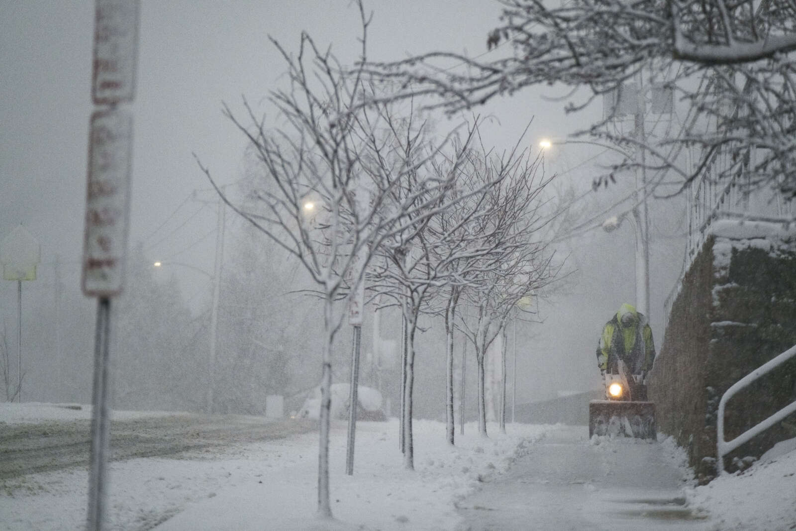
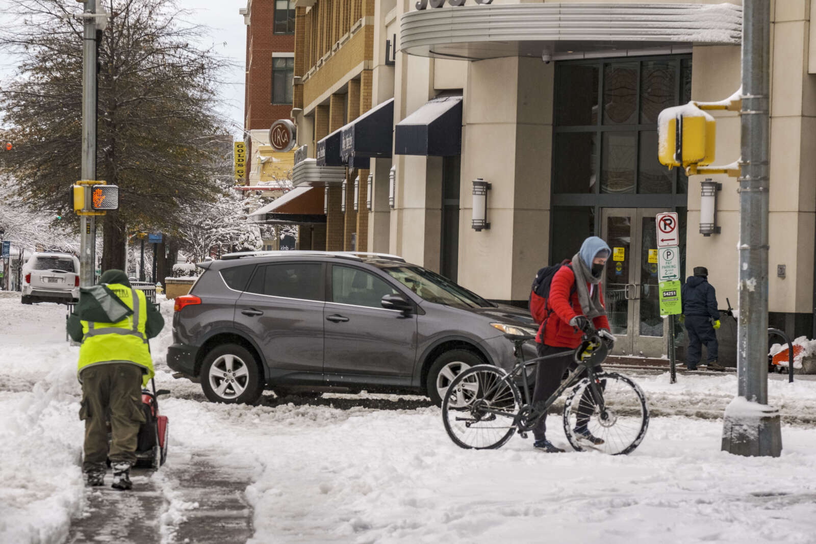
As of Tuesday morning, Arlington County snow crews — their ranks thinned by Covid absences — were tackling neighborhood streets after spending most of Monday treating and clearing main roads.

Despite the challenges, with everything that the region has been dealing with lately, the snow also brought a considerable amount of joy to some.

“I love it,” Javed Malik told ARLnow, peering up at the falling flakes at Penrose Square. “It’s a beautiful, gorgeous day.”

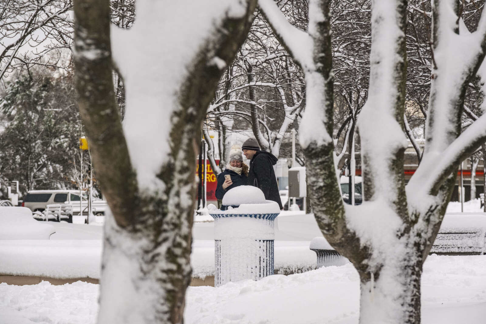
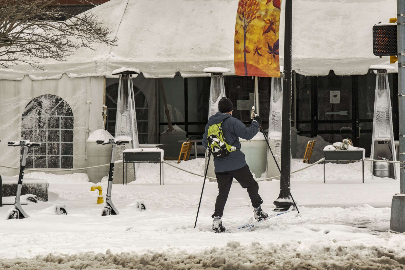
In Ballston, kids and adults alike were spotted pulling sleds to the nearest hill. Pedestrians were reclaiming the covered streets as their own, snapping selfies and looking up at the snowy sky.

Persi George, from California, had never seen anything like it in person before.

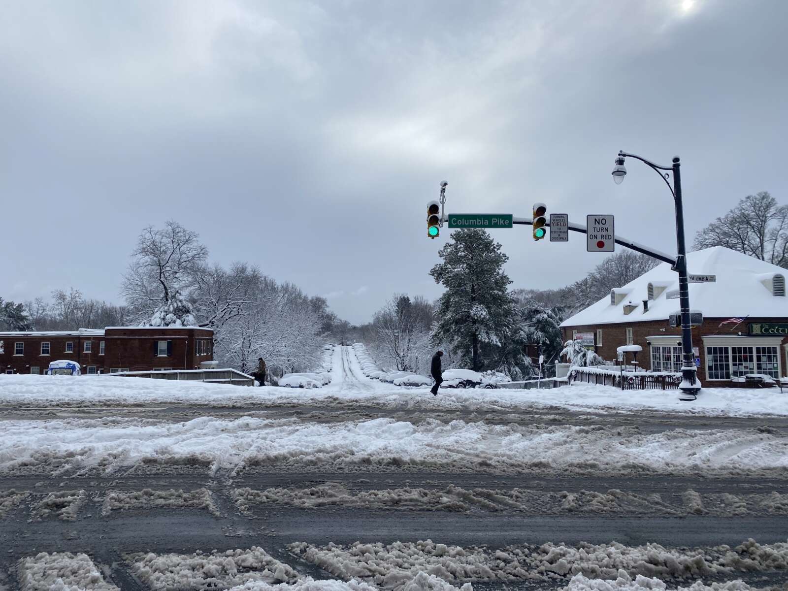
“I’ve seen it before in the movies,” she said with a laugh standing in front of her apartment building along Columbia Pike. It’s a little softer than she expected, but that doesn’t dampen her enthusiasm as she prepares to make her first snow angel. “I’m in love with it.”

Yesterday was also set to be the first day back to school after the long holiday break with Arlington Public Schools continuing to commit to in-person instruction. That didn’t happen because the storm cancelled classes across Arlington and the region. School is cancelled today, too, with an expected refreezing overnight.

At least one teacher is breathing a sigh of relief. With Covid cases on the rise, likely due to holiday gatherings, the two extra days off provides more time for students to get tested.

“This couldn’t have been more well-timed. Coming back from the break, we are all worried about the rising case numbers,” Arlington high school teacher Josh Folb told ARLnow. “Hopefully, this gives people more time to get tested and… isolate, if needed. I haven’t talked to a teacher yet, and I’ve talked to a lot today, that isn’t grateful [about the snow days].”

There remains a chance it will snow again this week, Thursday night to Friday morning, though it’s not expected to dump as much snow as Monday’s storm.


Update at 3:15 p.m. — Both Arlington County and VDOT say snow crews are preparing for the storm.

“Throughout overnight hours, crews and about 2,200 trucks will be staged and ready to treat roads and plow snow where needed,” VDOT said Sunday afternoon. “Crews will begin to plow once two inches of snow have accumulated.”

Update at 2:50 p.m. — The earlier Winter Storm Watch has been updated to a Winter Storm Warning. The forecast still calls for 3 or more inches of snow falling Monday morning.

233 PM EST Sun Jan 2 2022

…WINTER STORM WARNING IN EFFECT FROM 1 AM TO 4 PM EST MONDAY…

* WHAT…Heavy snow. Total snow accumulations of 3 to 7 inches. Winds gusting as high as 35 mph.

* WHERE…The District of Columbia, portions of central Maryland and northern Virginia.

* WHEN…From 1 AM to 4 PM EST Monday.

* IMPACTS…Travel could be very difficult. The hazardous conditions could impact the morning or evening commute.

PRECAUTIONARY/PREPAREDNESS ACTIONS…

If you must travel, keep an extra flashlight, food, and water in your vehicle in case of an emergency.

When venturing outside, watch your first few steps taken on steps, sidewalks, and driveways, which could be icy and slippery, increasing your risk of a fall and injury.

Earlier: Arlington and the D.C. area could get the first significant snowfall of the season tomorrow.

Heavy snow with up to 3-6 inches of accumulation is possible Monday, starting late tonight, according to the National Weather Service, which issued a Winter Storm Watch for Arlington County and other parts of the region early this morning.

Arlington is just on the northern edge of the Winter Storm Watch, meaning that southern parts of the county may get more snow than northern parts.

More from NWS:

428 AM EST Sun Jan 2 2022
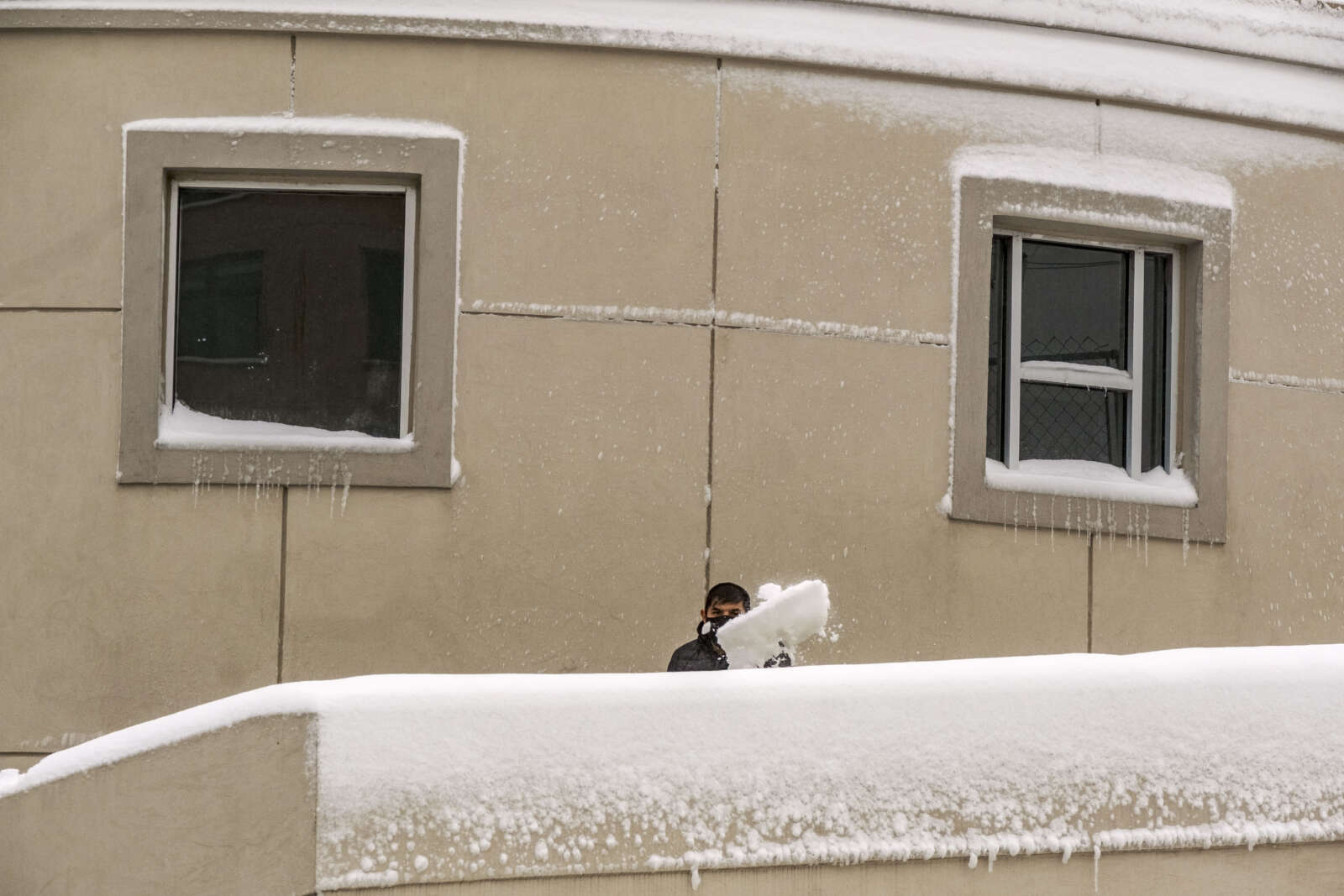
…WINTER STORM WATCH IN EFFECT FROM LATE TONIGHT THROUGH MONDAY AFTERNOON…

* WHAT…Heavy snow possible. Total snow accumulations of 3 to 6 inches possible.

* WHERE…Portions of The District of Columbia, central and southern Maryland and central and northern Virginia.

* WHEN…From late tonight through Monday afternoon.

* IMPACTS…Plan on slippery road conditions. The hazardous conditions could impact the morning commute.

PRECAUTIONARY/PREPAREDNESS ACTIONS…

Monitor the latest forecasts for updates on this situation.


‘Innovation Studio’ Planned at HQ2 — “Amazon Web Services will open a new AWS Innovation Studio to collaborate on global solutions that leverage its cloud computing technologies to address issues such as housing insecurity, social justice, climate change, sustainability and health and education inequality. A first for AWS, the studio will launch at Amazon’s new HQ2 headquarters under construction in Arlington, Va.” [CRN]
First Responders Honor Fallen Marine — “ACPD and @ArlingtonVaFD paid our respects to USMC Sgt. Nicole Gee, who was tragically killed in action in Kabul, as her procession traveled through Arlington this evening. May we never forget her service and sacrifice.” [Twitter, Twitter]

Power Outage Near Rosslyn — “About 450 homes and businesses are without power in the Rosslyn area this morning. Initial reports suggest that residents heard a loud boom and firefighters subsequently found a very unlucky squirrel.” [Twitter]

Beyer Blasts GOP for Debt Limit Drama — “By filibustering legislation that would prevent a default, they are gambling with the full faith and credit of the United States. This is poor economic stewardship. The responsible course of action is to increase the debt ceiling to prevent a catastrophic default.” [Press Release]

APS Preparing for Collective Bargaining — “The push to give Arlington Public Schools’ staff collective-bargaining rights is expected to move another step forward in coming weeks. School Board members on Sept. 30 will review a draft list of budget priorities for next year to be handed to Superintendent Francisco Durán. Among the directives in the staff proposal: create a timeline for implementation of collective-bargaining, which until recently was banned for public-sector workers in local governments across Virginia.” [Sun Gazette]

It’s National Recovery Month — “September is celebrated as National Recovery Month with the purpose of educating communities about recovery from mental health, substance use, and co-occurring disorders; the effectiveness of treatment and recovery support services; and that recovery is possible. Arlington proudly stands alongside our recovery community.” [Arlington County]

Virginia Gubernatorial Debate — “Republican Glenn Youngkin and Democrat Terry McAuliffe outlined sharply different pictures of Virginia and visions for its future Tuesday in the second and final debate of this year’s race for governor. Youngkin, a former business executive, described a state racked with crime and struggling under a dying economy, then pledged to fix it by slashing taxes and beefing up law enforcement. McAuliffe took credit for creating a booming economy when he served as governor from 2014 to 2018.” [Washington Post]

Tuesday Morning’s Big Boom — “A big boom was reported across a wide swath of Fairfax County from Reston and Herndon to McLean around 10:40 a.m. on Tuesday, leaving many residents confused regarding the possible source. The sound was likely caused by loud thunder that accompanied a storm that was crossing the area at the time.” [FFXnow]


Police Make Numerous DUI Arrests — From the Arlington County Police Department: “ACPD Officers are committed to making our roadways safer by identifying, stopping, and apprehending impaired drivers. Last week (September 12 – 18), officers made 16 arrests for Driving Under the Influence (DUI). Motorists are reminded that it is never okay to drink and drive.” [Twitter]

ACPD Warning of Tainted Cocaine — “Please take steps to protect yourself and others who may be in possession of cocaine purchased in the Washington, D.C. metropolitan area. The nasal spray Narcan (also known as Naloxone) can save the life of someone who is overdosing from substances containing opioids, if given in time, and test strips can detect dangerous fentanyl-laced drugs before they are used.” [Arlington County]

Man Stabbed Near Columbia Pike — ” The investigation revealed that at approximately 1:15 a.m., the victim was walking in the area when he was pushed from behind by the unknown suspect and fell to the ground. The suspect then brandished a knife and demanded money from the victim before stabbing him and stealing his wallet. The suspect fled the scene on foot and the victim returned to his residence before determining he was in need of medical services.” [ACPD]

Gusty Storm Yesterday Afternoon — “A 39 mph wind gust was recorded at National Airport with the storm that passed through Arlington earlier this afternoon, per the National Weather Service.” [Twitter]

Power Outages After Wednesday’s Storm — “More than 1,000 homes and businesses are currently without power in Arlington. The largest outage is affecting the area around Kenmore Middle School.” [Twitter]

School Bond Funds New ‘Heights’ Entrance — “A new entrance to the Shriver Program, which is collocated with H-B Woodlawn Secondary Program in Rosslyn, is needed to make it easier for those with disabilities to access the building and the parking lot… More funds are need to permit ‘the completion of a design that we had intended in the first place – complete it the right way,’ Kanninen said. The $11.39 million project accounts for nearly half the proposed $23 million school bond that goes to voters on Nov. 2.” [Sun Gazette]

Klobuchar to Canvass in Arlington Sunday — “Join us for a Weekend of Action canvass in Arlington with Senator Amy Klobuchar & Governor Terry McAuliffe! We’ll be talking with our neighbors about the issues that are important to them — and why Terry McAuliffe, Hala Ayala, Mark Herring, and Alfonso Lopez are the right people to move Virginia forward in 2021.” [Mobilize]

Update to Metro Story — A report from the Washington Metrorail Safety Commission suggests that the person who fell from a train while walking between railcars near the Clarendon station was the son of a WMATA employee. He was able to continue on to Tysons but suffered significant injuries, was bleeding heavily and was later hospitalized. [ARLnow]


View More Stories