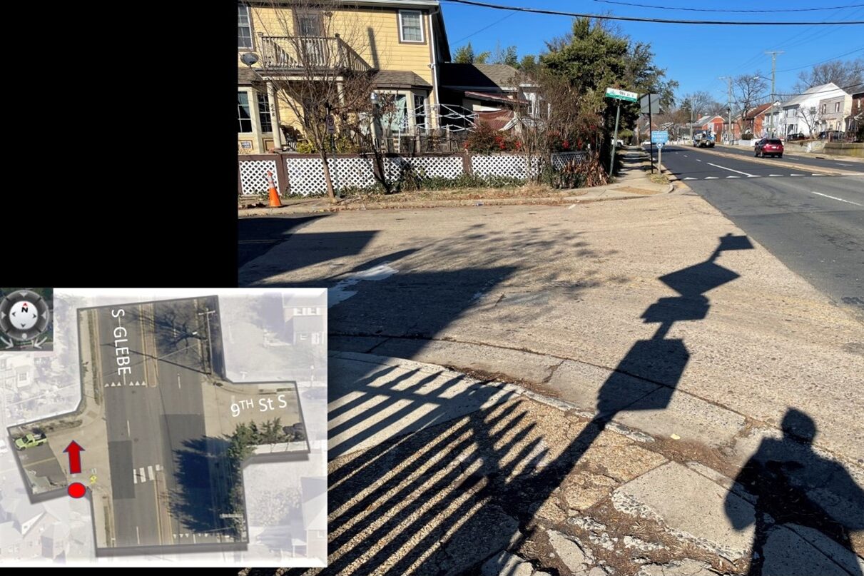
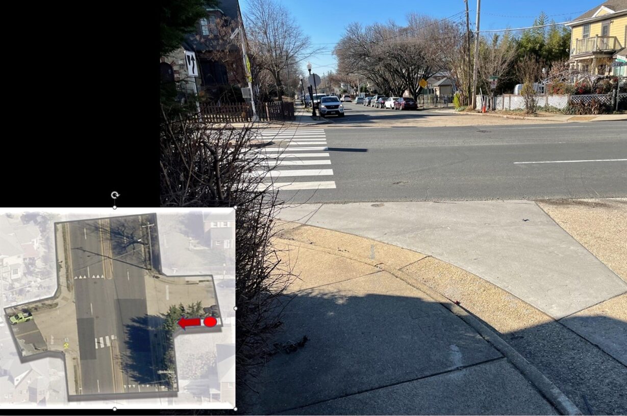
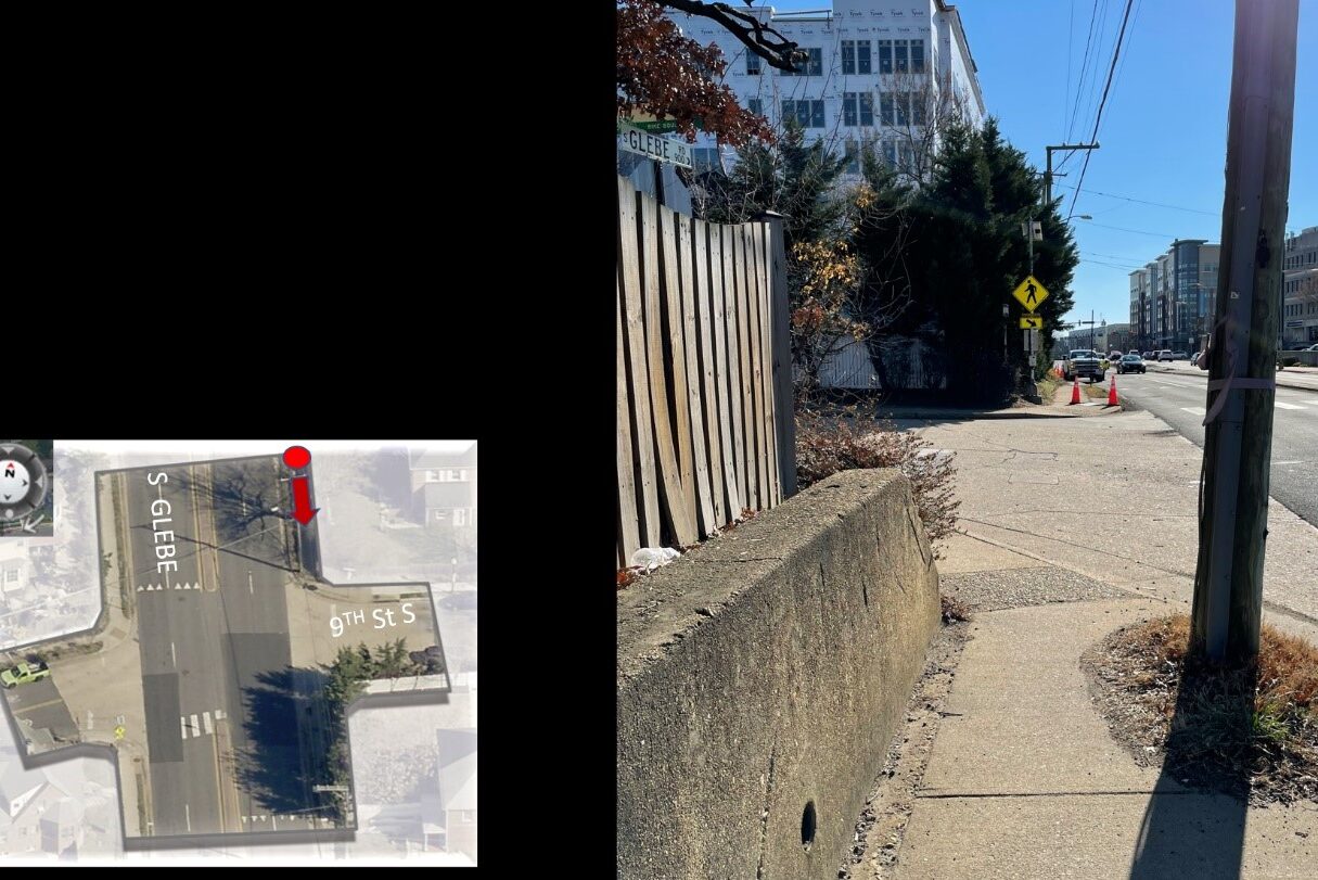
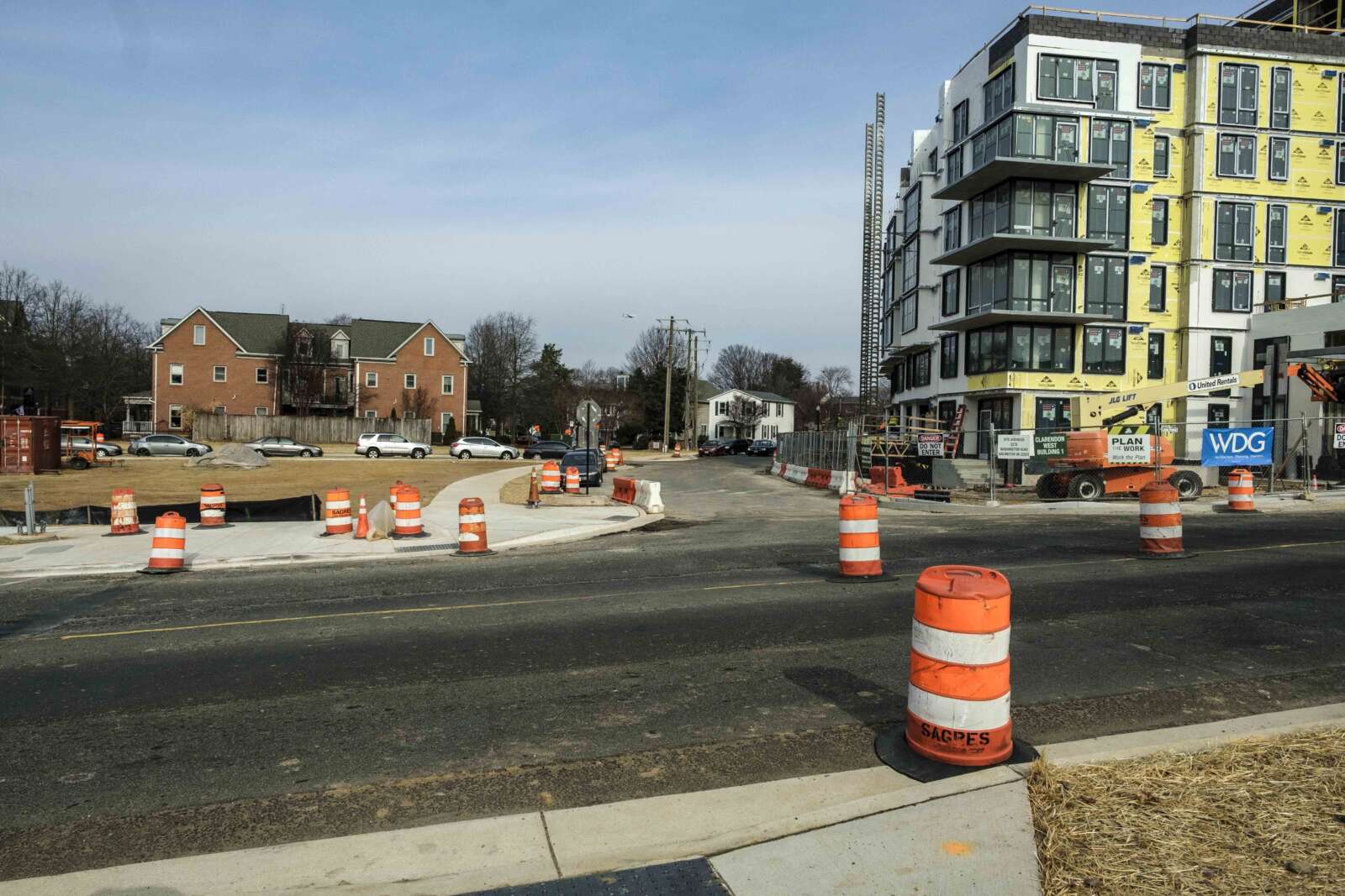
More signs preventing right turns at red lights are going up around Arlington County to reduce crashes.

They were added to long stretches of major arterial streets, including Columbia Pike and Wilson Blvd. The county has concurrently reprogrammed walk signals to give pedestrians a head start crossing the street.

These changes are being made to eliminate crashes that are fatal or result in serious injuries, the aim of its two-year-old traffic safety initiative known as Vision Zero.

“This is a win for pedestrian safety benefit,” said Chris Slatt, a member of Sustainable Mobility for Arlington, which has advocated for more of no-turn-on-red signs in areas with many pedestrians. “You would want to be safe to walk and not have to worry about driving through crosswalk.”

Some drivers have anecdotally reported congestion and longer idling times to ARLnow.

“Seems like these signs cause a lot of cars to sit and idle at intersections longer than they used to,” notes one tipster. “They also generally gum up traffic.”

County documents note there have been safety benefits seen in areas with high pedestrian volumes. Additionally, a focus group of elderly adults appreciated the red light restrictions.

The county’s view is that any reasonable trade-off is worth it.

“Although traffic may slightly increase at times due these safety interventions, the trade-off is a safer environment for our most vulnerable users — pedestrians and bicyclists,” Dept. of Environmental Services spokeswoman Katie O’Brien said.

During Vision Zero’s second year, per a report, the county has been adding no turn on red signs on:

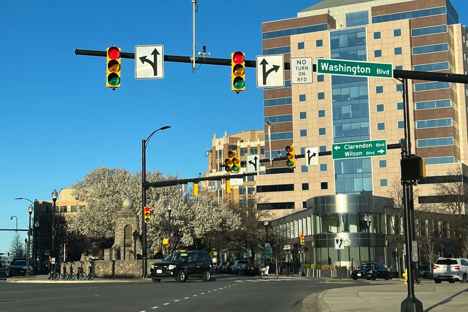
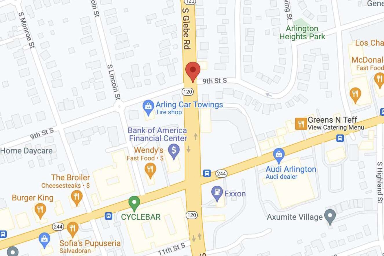
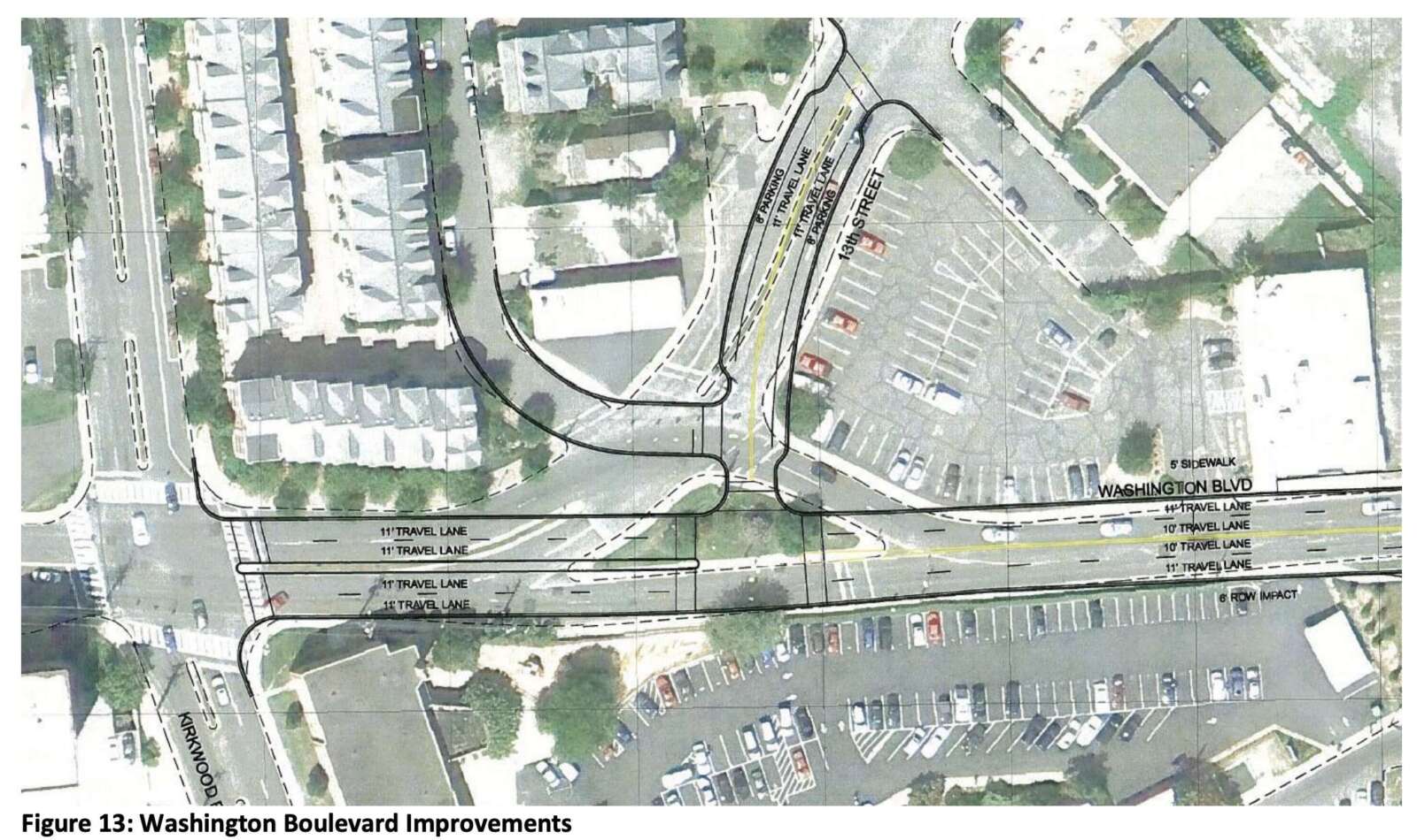
  • Columbia Pike from the county line to Washington Blvd
  • Fairfax Drive from N. Glebe Road to N. Kirkwood Dr
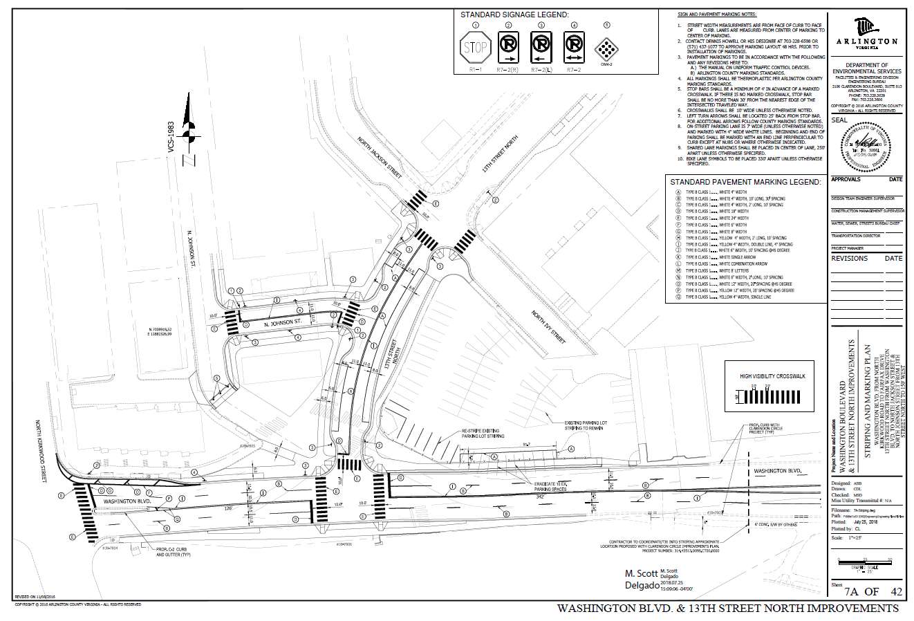
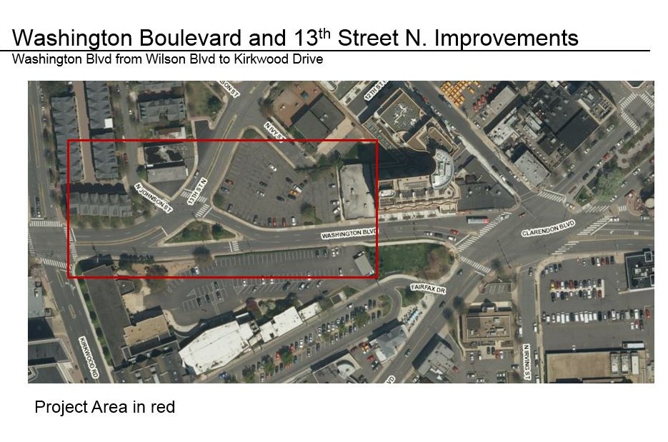
  • Clarendon Blvd from N. Highland Street to Ft. Myer Drive and Wilson Blvd
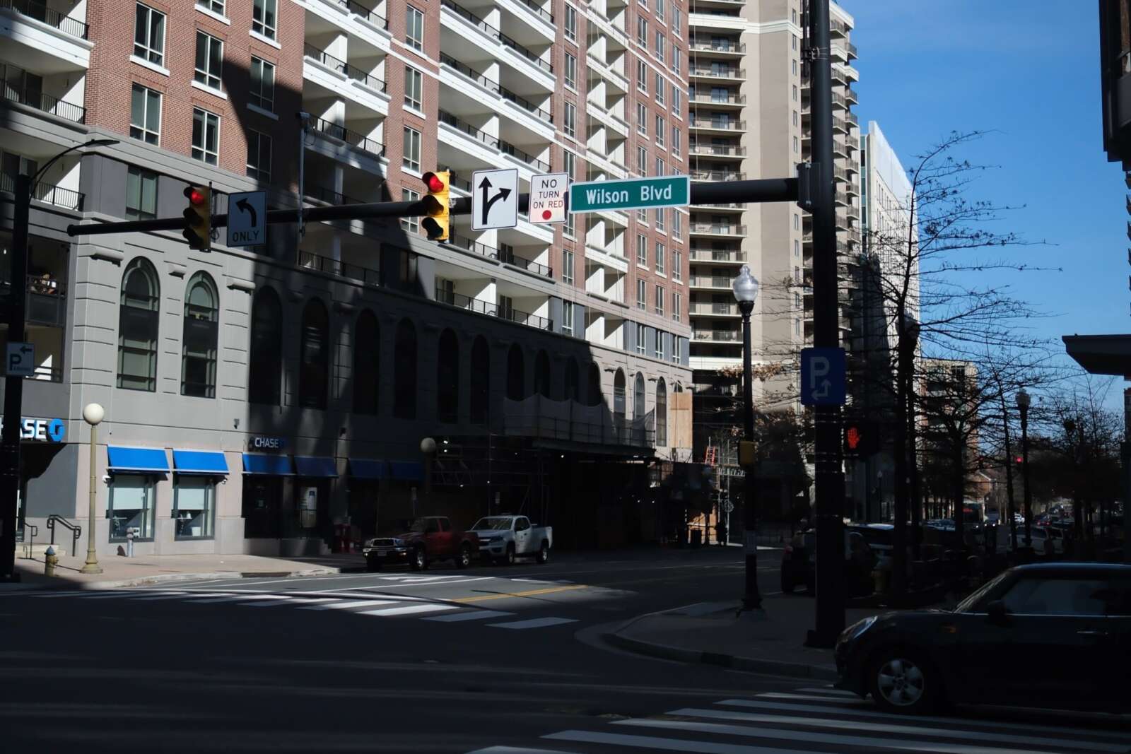
  • Wilson Blvd from N. Glebe Road to Fort Myer Drive

Year 2 of Arlington’s Vision Zero plan wraps up this spring.

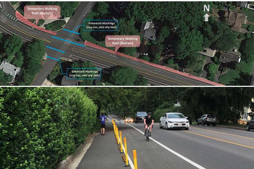
The county says it has also grown the number of signalized intersections with a 3-7 second head start for pedestrians from 31 to 77 during Year 2. Studies show this change can reduce pedestrian-vehicle collisions by up to 60%.

As of March 2022, the county had no-turn-on-red signs at 147 approaches — each point of an intersection — after adding signs at 35 approaches in Year 1 of Vision Zero, per a May report.

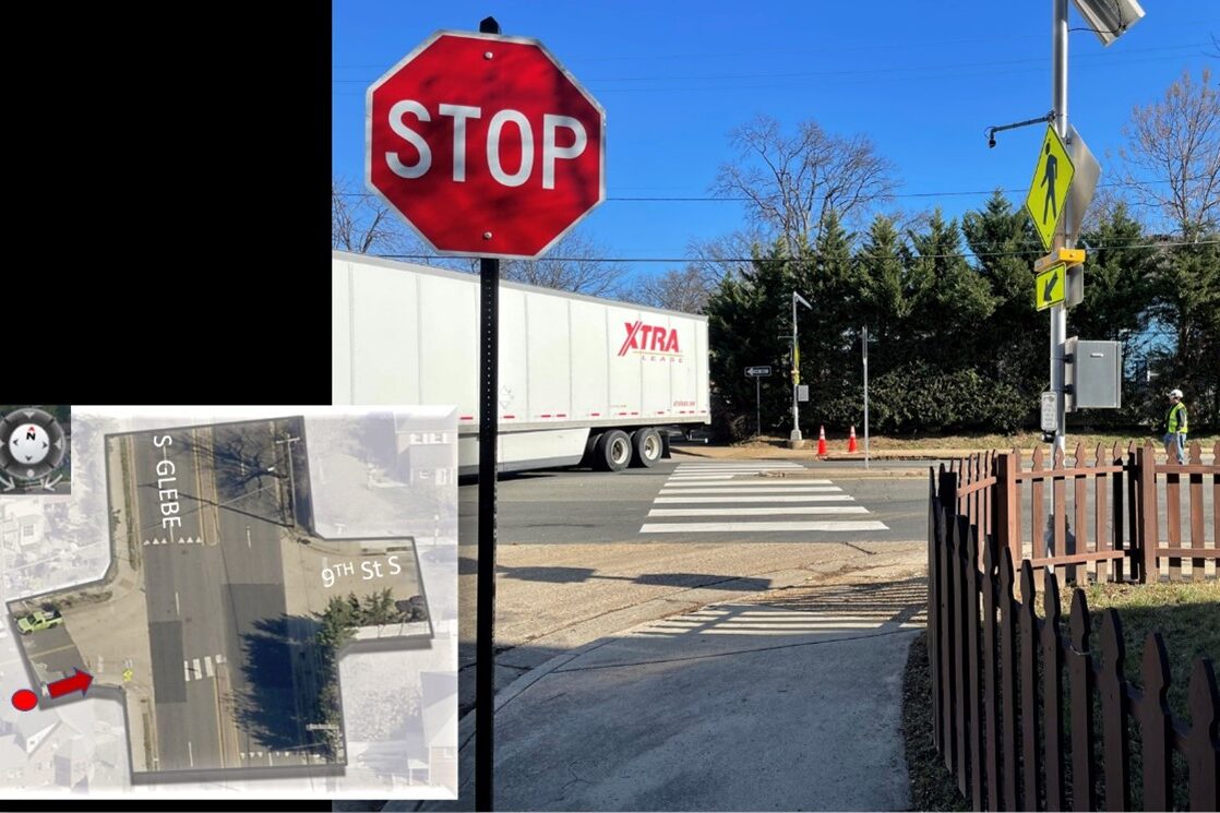
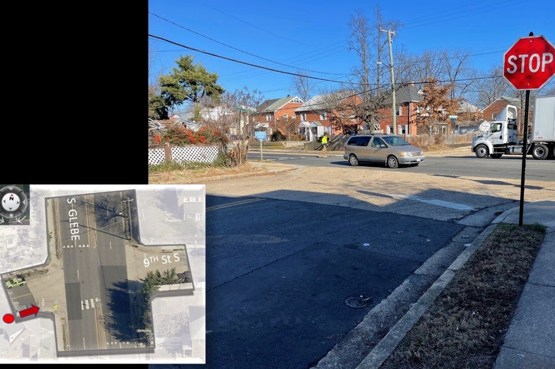
Priority intersections for these changes include those with many pedestrians and bicyclists, restricted sight distance and a history of turn-related crashes, according to a “Vision Zero toolkit” of traffic safety treatments.

Arlington joins other states and municipalities, including D.C., phasing out the right-on-red at busy intersections. A number of studies have shown right on red decreases safety and restrictions improve safety for pedestrians and cyclists.

Right on red was legalized 50 years ago to prevent idling and save gas during an oil embargo proclaimed by oil-exporting Arab countries, according to the county. The Energy Policy and Conservation Act of 1975 required states to allow right turns on red to receive certain federal funds.

“Unfortunately, the country has been experiencing the trade-offs of right on red turns ever since,” the county said in the Vision Zero toolkit.

(more…)


A high-traffic intersection one block north of Columbia Pike could get some safety upgrades, including a traffic signal.

Arlington County is embarking on a project to develop plans to upgrade the intersection of S. Glebe Road and 9th Street S., located between the Alcova Heights and Arlington Heights neighborhoods.

In addition to replacing a rapid-flash beacon with a traffic signal, the county says changes, in collaboration with the Virginia Dept. of Transportation, could include extending the curbs, updating the crosswalks and refuge medians, and fixing deteriorating ramps that do not comply with the Americans with Disabilities Act.

The forthcoming project responds to community feedback, a 2022 safety audit of Glebe Road — a VDOT-maintained artery — and a 2020 analysis of “crash hot spots,” according to a county webpage. The latter two reports include data, photos and community comments describing unsafe conditions for pedestrians, cyclists, transit users and drivers.

“Glebe Road from 14th Street N. to Columbia Pike is part of Arlington County’s High Injury Network,” the county says. “These corridors experience high concentrations of critical crashes compared to other corridors in Arlington.”

Per the safety audit, the intersection saw two pedestrian crashes and five left-turn vehicle crashes between January 2018 and February 2021. It also found that many people drive over the speed limit by at least 5 mph between 8th Street S. and 9th Street S., going an average of 38 mph.

“Community feedback received as part of the Vision Zero Action Plan development identified Glebe Road and 9th Street S. as an unsafe crossing,” the county said.

Arlington is working toward eliminating traffic-related serious injuries and deaths by 2030 as part of its initiative known as Vision Zero. Transportation advocates and the Arlington County Board called for swift action to realize plan goals and make roads safer after a rash of crashes involving pedestrians last year.

Some residents heralded the project on Twitter as sorely needed and a long time in coming.

Back in 2018, cyclists who participated in a “protest ride” to advocate for better cycling conditions, called specifically for improvements to 9th Street S., which is part of the Columbia Pike Bike Boulevards, a bicycle route parallel to the Pike.

https://twitter.com/ARLINGTONAF/status/1633545704135172096

This spring, there will be a public engagement opportunity in which the county will solicit feedback on existing conditions, including site constraints such as utility poles that block parts of the sidewalk.

County staff are preparing engagement materials, and “when that’s ready, the engagement will open,” Dept. of Environmental Services spokeswoman Claudia Pors said.

The engagement will first ask people to share how they currently use these streets as well as any ideas or concerns they have.

“This input will be used to refine to goals and develop concept options,” the webpage says.

This spring and summer, county staff will again request feedback on a concept plan, which will be incorporated into a final design plan that the county anticipates can be prepared this fall.

Arlington County has completed, started or has planned other transportation upgrades along Glebe Road, per the 2022 audit, including new or re-programmed traffic signals and new ramps.

Other projects on Glebe Road (via Arlington County)

The West Glebe Road bridge partially reopened yesterday, though pedestrian and bicycle traffic will have to wait to make use of the span over Four Mile Run.

The bridge had severely deteriorated, requiring partial closures over the years until the bridge was fully closed last summer.

Work then began to replace the deteriorated roadway substructure, while reusing existing piers to shorten the construction time and keep costs down, according to Arlington County.

The bridge partially reopened yesterday (Wednesday) with one lane open in each direction.

According to the county website:

As of March 8, 2023, the West Glebe Road bridge is open to motor vehicle traffic, with one lane open in each direction. Pedestrian and bike traffic will continue to detour on the temporary bridge to the east of the main bridge.

The bridge is expected to fully open in summer of 2023, after completion of work on parapets, substructure, and streetlights.

The county says the next phase of construction will see the bike lane, curb and sidewalk put into place.

The Four Mile Run Trail underpass on the north end of the bridge remains closed until reconstruction is completed.


(Updated at 11 a.m.) Arlington County is suing three residents and the Ballston-Virginia Square Civic Association over their attempt to stop buses from being parked near their homes.

The county charges that they used the Board of Zoning Appeals (BZA) process improperly to prevent the approval of a special use permit to allow 29 Arlington Transit (ART) buses to park on a county lot across the street from Washington-Liberty High School while a new ART bus facility is built in Green Valley.

The county says the BZA doesn’t have the authority to hear their case and, without an allegation of harm or potential harm not shared by their neighbors, the residents are not “aggrieved parties” and are thus improperly using the appeal process to block the county’s plans.

“The Applicants sought their appeals simply as a way to undermine the County Board’s authority and to prevent the County Board from approving a special exception use permit for the Subject Property, thereby weaponizing the stay required by Va. Code… and in effect usurping the legislative power of the County Board,” per the lawsuit.

But the residents, who live in two of the five homes on a ridge overlooking the parking lot, argue the county is suing them preemptively while running afoul of its own zoning ordinances. Further, they say the bus activity will seriously undercut their property values and quality of life and suggest the county should buy their homes.

The lawsuit says that one resident’s BZA appeal asked the body to “compel the County Board to purchase some of the Applicant’s properties.”

Both the county and the residents declined to comment to ARLnow on the ongoing lawsuit, set for a hearing in Arlington County Circuit Court later this month.

Arlington County bought the largely industrial site, also known as the Buck site after its previous owner, in 2015 for $30 million to serve a variety of needs.

Arlington Public Schools parked “white fleet” vans there and, as part of an agreement in 2022, the county moved the vans from a part of the site zoned for “light industrial” uses to another zoned for “mixed use,” and park the ART buses in the “light industrial” zone.

This violates an ordinance, a site plan and a deed of covenant governing the property dating to 1985, the civic association alleged in a letter to the County Board in May 2022. The letter says county staff made procedural and substantive missteps that should have invalidated the county’s special use permit application and subsequent action to abandon the right-of-way of a former street on the site.

The civic association alleges that this change came after the county already violated zoning ordinances related to parking and landscaping by conducting motorcycle maneuvering training and storing dumpsters in parking areas while, in landscaped areas, letting trees die and English ivy take over.

As for the new use, they say the noise is unbearable, emissions from the Compressed Natural Gas-powered buses are “toxic,” and vibrations shake nearby homes — leading to their properties becoming “unmarketable” and “uninhabitable.” The BVSCA posted the following video of an ART parking exercise on the site last year.


Residents say the county’s real estate office proposed reducing their property assessments by up to $190,000 and heard from four realtors who say they’d be reluctant to list these properties.

(more…)


(Updated at 3:15 p.m.) An emerging local group is looking to corral the “Wild West” of e-scooter parking in Arlington County.

The embryonic organization, which is calling itself “Purge,” will employ drivers to pile micro-mobility devices parked illegally on private property into vans and — essentially — hold them hostage until the operators of the offending devices pay a $50 invoice fee for their release.

“This is a huge opportunity and issue,” says Will, the founder, who requested to have his last name withheld until the official company launch. “We don’t want to interact with them at all: just pay it and it’ll go back on the street. They’re going to hate that but there’s nothing to say we can’t do that.”

If the business model sounds familiar, that’s because it is quite similar to how controversial Ballston-based trespass towing company Advanced Towing operates. Advanced, however, works within an established state and local regulatory framework, frequent accusations of skirting such laws by those on the undesirable end of their tows notwithstanding.

Arlington County has authorized a number of operators, including Bird, Spin and Lime, to operate some 350 e-bikes and 2,000 e-scooters within its borders. Some locals have long complained that scooter parking blocks pedestrian and, at times, vehicle traffic.

In response, the county has rolled out “corrals” to give people more legal options for parking their scooters, paid for by the cost for operators to do business in Arlington.

“Arlington has made decent strides with the corrals, but they’re a suggestion no one has forced them to operate better or develop incentivization for users to engage in better rider behavior,” Will says.

Billing operators could, he theorizes.

Something similar is happening in San Diego, where a duo impounds scooters in a lot using a flatbed truck. Scooter operators fought back with a lawsuit and later, cease-and-desist letters to private property owners using the impound service. The city has since filed its own lawsuit alleging the way these scooters are parked is a safety hazard.

“We’re trying to offer a balance here. The outcomes are they’re either forced to incentivize better behavior, or the [county] is forced to contract with us,” Will says. “We are working with local attorneys — there’s nothing in place to force them to operate legally. We think we have a low-tech solution that doesn’t require a huge investment.”

When it launches, Purge will only service private property. It doesn’t need impound authorization from private property owners, Will claims, while adding that several local private property managers, including some hotels and apartment buildings, have given the company the thumbs-up to haul away scooters.

Scooters abandoned in public right-of-way, however, could remain tripping hazards and nuisances — for now. Purge would skip mis-parked scooters on public property, at least initially.

For recourse, people can report mis-parked or abandoned devices via Arlington County’s Report a Problem tool, or via the helplines the companies operate. Operators are required to remove improperly parked devices within two hours of a report of mis-parking, according to the county’s website.

The other option is to just step around them, which can be dangerous for people who are blind or in a wheelchair or have another disability that impairs their mobility.

“Mobility only works if it works for everyone,” says Will, pointing out that these companies have raised hundreds of millions and — in some cases — billions of dollars, but in his view have not sufficiently invested in ways to incentivize proper parking.


(Updated 3:40 p.m.) Work is ramping up on a new Arlington County bus maintenance building and parking garage in Green Valley.

Crews are set to wrap up laying the foundation for the Arlington Transit (ART) Operations and Maintenance Facility at the end of this month, says Dept. of Environmental Services spokeswoman Alyson Jordan Tomaszewski.

“The facility will perform regular preventive bus maintenance, repairs and other unscheduled maintenance work,” per a project webpage. “It also will include administration and operations functions and parking for buses and staff.”

Then, passers-by may notice a crawler crane on site, which will be used to install steel columns. That work is set to last until sometime in March, according to the project webpage.

Meanwhile, work on the foundation of the parking garage is planned to start at the end of January, she says.

Construction began in June 2022 and is expected to be completed in the fall of 2024.

“We have experienced both weather and supply chain delays with the ART Operations and Maintenance Facility,” she said. “However, we are still on track for completion in fall 2024. To mitigate the supply chain issue, we are expediting material approval and procurement as best we can.”

The Green Valley Civic Association welcomes the new facility.

“The county used to park about 60 ART buses right in Jennie Dean Park, next to the basketball court,” Robin Stombler, community-affairs chair of the civic association, tells ARLnow. “Moving the buses into a new operations facility adjacent to I-395 is not only a welcome change, but should mitigate noise and light disturbances on the residential community.”

Still, the civic association has some lingering concerns.

“We were vocal on the need for improved environmental conditions. This meant a state-of-the-art facility outfitted for a future electric bus fleet, better stormwater management and bioretention ponds, and lit signage that does not face the residential part of Green Valley,” Stombler said.

“The new county bus campus will house a staff-only, multi-story parking garage,” she continued. “We need some creative thinking to make sure this amenity is shared with the rest of the neighborhood.”

Next door, the general manager of the Cubesmart storage facility tells ARLnow that the county has “been very sensitive to the fact that we have traffic flowing in and out of there and has done great job keeping the road clean.”

The Cubesmart opened a second facility near the construction site back in March 2021. Between the original building, now “The Annex,” and the new building, there are nearly 2,400 storage units, she said.

This construction project follows on the heels of other recently completed ones in the Green Valley neighborhood, aimed at realizing a community vision of an arts and industry hub. The new John Robinson, Jr. Town Square, with a towering sculpture, as well as the renovated Jennie Dean Park opened with great fanfare this spring.

The County Board approved the purchase of the three parcels in Green Valley to build the ART facilities back in 2018.

“This project is essential for ART’s long-term sustainability and will address the current and future needs for parking, operations and maintenance of the County’s growing ART bus fleet,” according to the project webpage. “ART has significantly increased its number of routes and hours of service during the past 10 years and plans to continue growing during the next 20 years, supported by a fleet of more than 100 buses.”

The total cost to buy the land, plan and design the project and construct it is $81.2 million.

Work hours are 7 a.m. to 9 p.m. on Monday through Friday, with some weekend work occurring between 10 a.m. and 9 p.m.

This article was updated to add comments from the Green Valley Civic Association.


Arlington County is nearing the end of project to overhaul of the intersection of Washington Blvd and 13th Street N., near Clarendon.

The redesigned intersection will have two lanes of travel in each direction, while the new 13th Street N. will make a “T” with the new Washington Blvd.

“The benefits of the wider sidewalks and utilities moved underground are a better pedestrian experience for current and future residents, and a more streamlined traffic pattern for vehicles,” Dept. of Environmental Services spokeswoman Claudia Pors said.

Previously, Washington Blvd surrounded a triangular patch of grass and dirt bordered by sidewalks — which county documents have described as a “diverter island” or “porkchop” — on all three sides. Drivers had to navigate around the island to either continue onto Washington Blvd or turn onto 13th Street N.

When this stretch of Washington Blvd was first identified for changes in the 2014 Clarendon Sector Plan, it also had a reversible travel lane between 13th Street N. and Wilson Blvd.

This pattern appears to have been removed a few years before the construction on the new “T” intersection began in 2021, according to Google Maps street views from prior years.

The old reversible travel lanes along Washington Blvd between 13th Street N. and Wilson Blvd (courtesy of Arlington County)

The Arlington County Board approved a contract to Sagres Construction Corporation to undertake the streetscape improvements and utility undergrounding in February 2021. Work started that spring and is expected to last 18-24 months.

“The project is still under construction and is expected to be completed this spring,” Pors said. “There’s still work to be done on signals, curb and gutter, milling and paving and landscaping.”

As part of the project, the work provided public open green space with seating and trees for a future park at the intersection, Pors said. The park will be at the northwest corner of the intersection, south of a reconfigured N. Johnson Street.

The site of the proposed open space at the intersection of Washington Blvd and 13th Street N. near Clarendon (via Arlington County)

The project will also deliver wider sidewalks and improved pedestrian crossings, underground utilities, new traffic signals, street lights and street trees. It costs an estimated $6.4 million, from local commercial and industrial taxes earmarked for transportation and developer contributions.

The 2014 Clarendon Sector Plan called for these changes, which were then incorporated into the Red Top Cab properties redevelopment. The County Board approved this redevelopment in 2015, and the first phase was completed in the spring of 2021. Construction on the second phase began in January 2022.

The second phase, at the corner of Washington Blvd and 13th Street N., is comprised of a multifamily building with 269 homes.


Rainy day in Rosslyn (staff Photo by Jay Westcott)

While the pandemic prompted a well-documented exodus to, and development of, sleepy suburban and exurban towns, the Rosslyn Business Improvement District says it has identified a different Covid migration pattern.

About a quarter of Americans reported moving to cities where they could be within a 15-minute walk or bike ride of grocery stores, healthcare and parks, according to a national survey by the BID.

The survey also found 41% plan on moving to be within walking or biking distance of their preferred amenities — including coffee shops, schools and gyms — in the next one to three years. That’s in contrast with places that prioritize mobility by motor vehicle, with sidewalks and bike lanes as a relative afterthought.

Amenities that Americans want within 15 minutes of them (via Rosslyn BID)

The idea of being in a place within a 15-minute walk or bike ride from these amenities, dubbed a “15-minute city,” was developed by French-Colombian academic Carlos Moreno. He says his aim is to “rebalance” localities that have been designed to boost productivity rather than well-being. The Mayor of Paris, Anne Hidalgo, popularized his idea when lockdowns kept people closer to home than usual, and efforts to realize Moreno’s idea took hold there and in other European cities.

Arlington County Planning Commission member Daniel Weir embraces the concept, saying it is better for people and the environment.

“Cities are for people, not cars, and we should be able to get our needs met within a 15-minute walk or bike ride,” he said. “Once upon a time, in living memory for our grandparents, every city in America — from Luray, Virginia to Manhattan — was a 15-minute city. Sometime after the war, we got the idea that cities were about highways and cars, and people had to make way. Now, we’re seeing auto-oriented infrastructure and development is one of the most flawed social experiments of all time.”

Arlington is now trying to at least partially unwind auto-oriented development along Langston Blvd and Richmond Highway, but has yet to tackle the suburban neighborhoods that fall outside its primary planning corridors. Still, the county, which has no singular city center, has had a number of “15-minute cities” spring up through transit-oriented development, which began in the 1960s.

Transit-oriented development created compact urban villages of Rosslyn, Courthouse, Clarendon, Ballston, Pentagon City and Crystal City along the Orange and Blue Metro lines, and is facilitating more development on the bus-connected Columbia Pike.

“The 15-minute city approach is consistent with many facets of the Arlington Comprehensive Plan and is more intrinsic in Arlington’s principles for compact and transit-oriented development,” says Erika Moore, a spokeswoman for Arlington County Dept. of Community Planning, Housing and Development.

Where the pandemic is helping advance the 15-minute city concept in Arlington is via an expansion of uses permitted in the county’s densest zoning districts.

“This is creating potential for expanded uses, including workshop spaces, breweries/distilleries, indoor agricultural such as hydroponics, and animal boarding,” she said. “This blending of retail, restaurants, entertainment, and destination uses, along with offices in smaller, non-traditional formats may prove beneficial to residents living in any of Arlington’s mixed-use corridors or in close proximity to them.”

No longer does a Rosslyn resident, for instance, need to drive to a lower-density part of Arlington to board their pet.

While Rosslyn has transformed from downtown district to 15-minute city, BID President Mary-Claire Burick says the county, property owners and the BID must keep “working together to keep our urban center active and accessible.”

Burick says her organization supports the mixed-use developments and the amenities they’re bringing.

“We support Arlington County’s planned investments in public green space and critical transportation infrastructure — such as the removal of the Fort Myer Tunnel,” she added, “and further building out Rosslyn’s network of pedestrian and bike facilities — which are essential in helping make our amenities even more accessible.”

The BID will focus on “economic resiliency efforts, as well as our community events, programming, and placemaking, all which help create an urban downtown where people want to be,” Burick said.

(more…)


A proposed left-turn lane off of N. Glebe Road in Ballston could be the smallest, yet most scrutinized traffic change in 10 years.

As part of the planned redevelopment of the Ballston Macy’s, Insight Property Group proposes to add a left-turn option at the intersection of 7th Street N. and N. Glebe Road. It will be for drivers going southbound on Glebe who want to turn onto a proposed private drive abutting the planned grocery store, which will be located at the base of Insight’s proposed 16-story, 555-unit apartment building.

“It was the most thoroughly vetted transportation scenario in the time that I’ve been with Arlington County,” transportation planner Dennis Sellin, who has worked with the county for 10 years, told the Planning Commission last night (Monday).

Transportation changes for the Ballston Macy’s development (via Arlington County)

During the meeting, the Planning Commission gave a green light to the redevelopment, which will go before the Arlington County Board for approval later this month.

After the Transportation Commission voted to defer the project solely on the basis of the left turn, Planning Commission members supported a condition for the project that county staff work with Insight and the Virginia Department of Transportation to come up with more pedestrian-oriented options for the intersection.

“I do not think it’s reasonable to hold up the project for this, given that there’s apparently continued good faith work on the intersection to improve its pedestrian-friendliness,” Commissioner Jim Lantelme said. “I want to make clear that the Planning Commission… expects that any option possible to make this intersection more pedestrian-friendly will be pursued.”

Sellin said a half-dozen staffers, including two top transportation officials, have thoroughly vetted the left-turn lane. They published a 64-page memo justifying the turn lane and will study how the grocery store changes traffic before adding any pedestrian mitigation measures.

“There’s a recommendation to not allow any right turns on red at any of the lights in the intersection,” he said. “That’s a movement we’ll take under further consideration. Our primary concern is safety, our secondary concern is operations.”

The left-turn lane is a non-negotiable for the grocer, who has otherwise been “insanely flexible” as the project has changed throughout the public process, according to Insight’s Managing Principal Trent Smith.

“We’ve shrunk their store, changed their ramps, taken away their parking… we changed their loading, we’ve done eight or nine things that took all sorts of reworking and they’ve stuck with us and have been great, reasonable partners throughout,” Smith said.

Insight’s attorney, Andrew Painter, says the unnamed grocer required the left turn based on “decades of experience in urban configurations.” He added that for a decade, the grocer has desired to be in Ballston, which already has a Harris Teeter nearby on N. Glebe Road, a quarter-mile away.

Some Planning Commissioners noted their regret that the project does not do more to provide on-site affordable housing.

“This space here, in the heart of Arlington, in Ballston, where there’s access to transit, and now a grocery store, we have nothing,” Commissioner Devanshi Patel said.

(more…)


A stretch of Lorcom Lane on the northern edge of the Cherrydale neighborhood is slated to get pedestrian safety upgrades, particularly aimed at improving a school walking route for kids.

Between N. Quebec Street and Nelly Custis Drive, the county will install sidewalks where there are none, widen existing sidewalks and reduce pedestrian crossing distances. Kids walk this stretch of Lorcom Lane to get to Dorothy Hamm Middle School and Taylor Elementary School.

These changes, and others, “originated through community-reported transportation safety concerns, crash data, and the results of the Vision Zero Pilot Safety Project on the north side of this corridor,” per a project webpage.

This summer, a driver struck a woman pushing a stroller at the intersection of Military Road and Lorcom Lane, just west of the corridor slated for improvements. This area had previously been re-striped with the goal of reducing conflicts between drivers and cyclists.

The pilot project responded to safety concerns for the 40% of students who walk or bike to Dorothy Hamm and the 10% who bike to Taylor. Last spring, Arlington Public Schools encouraged kids to walk or bike to school, if they could, to reduce the number of students on the bus, and thus their risk for a Covid exposure.

For kids walking on the northern side of Lorcom Lane between N. Oakland and N. Quebec streets, that meant navigating vehicle and bicycle traffic without a sidewalk. So the county installed temporary parking restrictions to create a dedicated walking path for pedestrians.

Feedback was positive, according to a summary of survey results.

“About 70% of people walking or biking felt safer while traveling here than before the pilot project was implemented,” per the report. “Most respondents for each mode of transportation felt as safe or safer while traveling here than before.”

During a 20-hour period, staff observed about 60 people — nearly one-third of all pedestrians on Lorcom Lane — using the buffered walking path. Nine times out of 10, at least one vehicle drove by when a pedestrian was walking in the buffer area.

Based on that data and positive feedback, staff decided to make the pilot permanent.

Other planned changes include resolving “alignment issues” with the intersection of N. Quebec Street and Lorcom Lane and addressing safety issues at the intersection of Lorcom Lane and Nelly Custis Drive. This intersection is adjacent to a preschool run by Cherrydale United Methodist Church.

There are three other projects within a half-mile radius, including the controversial roundabout pilot project at Military Road and Nelly Custis Drive that could become permanent.

Arlington County also plans to fill in a missing sidewalk at 4100 Nelly Custis Drive and execute a “quick-build” project at N. Quincy Street and Nelly Custis Drive.

This southeast corner of the intersection will get a marked curb extension, while the pedestrian crossing over Nelly Custis Drive will be shortened and the entire intersection will get new, accessible curb ramps. These changes were identified via a safety audit conducted on the Fairfax Drive corridor in 2019.

The project, initially set to be completed this calendar year, won’t be ready until next spring or summer, as county staff are working on an easement there, says Department of Environmental Services spokeswoman Claudia Pors.

Proposed transportation upgrades along and near Lorcom Lane (via Arlington County)

A temporary roundabout on Military Road (staff photo)

Arlington County has not ruled out the possibility of a permanent roundabout on Military Road despite the confusion a temporary version has caused for the past year.

In October 2021, where there used to be a stop sign for traffic on northbound Military Road, the county added paint lines, bollards and raised temporary curbs, and partially demolished a median. The work was aimed at improving safety where Military Road intersects with Nelly Custis Drive.

While preliminary data from the county found the roundabout did lower speeds, 53% of drivers, 27% of pedestrians and 26% of cyclists said they felt “less safe” or “much less safe” using the new traffic pattern, per a summary of feedback collected this summer.

“The majority of all respondents reported feeling less safe while using the pilot intersection, but the margins were very narrow for those who walked or biked through the intersection,” the report says. “Those who reported feeling less safe highlighted concerns with operational confusion, the size of the pilot roundabout and the perceived lack of sufficient space for a well-designed roundabout in the future condition.”

Drivers said they were confused about proper procedure in the intersection, while cyclists said drivers exhibited inconsistent behavior and would revert to habits they had when the intersection had a stop sign, per the report. Additionally, several users said the temporary materials caused visual challenges that contributed to the confusion.

Responses from a survey regarding a traffic circle on Military Road (via Arlington County)

About 31% of drivers, 26% of pedestrians and 18% of cyclists said they felt “safer” or “much safer” with the traffic circle, the summary says.

Road users in this camp were also concerned about confusion, but “reported better yield rates by vehicles to pedestrians, slower vehicle speeds, and easier operations for traffic flow and left turns from Military to Military,” the report said.

For now, it seems the roundabout is still in play as a permanent change.

The Military Road and Nelly Custis Road intersection roundabout (via Arlington County)

The report says that the project can “take the form of either a signalized intersection or a roundabout” and that a majority of issues locals raised “can be addressed through design in a capital project, where the intersection design will not be limited by existing curb lines.”

A preliminary mock-up of a signal at the Nelly Custis and Military Road intersection (via Arlington County)

Meanwhile, the Old Glebe Civic Association, which previously called the changes “unwanted” and says it has opposed the potential project for four years, says it has sources claiming the roundabout is all but a done deal.

“Two County staff members recently stated that the County will be building a permanent roundabout, which will take about 12 to 15 months, independent of the public feedback,” writes Peter Jaffe in the October edition of OGCA’s newsletter. “They said that the permanent roundabout will be larger than the temporary one and that the increased size will help address confusion by drivers about who is in the roundabout and who has the right of way.”

The report notes that recently, signs in the middle of the roundabout “have been knocked down and later repaired at least twice, suggesting that incidents have occurred at the roundabout.” The Old Glebe neighborhood is about 2 miles west of the roundabout, but Military Road is a popular commuter route for those heading east.

In response to OGCA’s letter, Dept. of Environmental Services spokeswoman Claudia Pors tells ARLnow there is no official recommendation yet.

“The County has not shared any recommendation or decision for the Military Road and Nelly Custis Roundabout Pilot Project at this time,” she said.

As for the signage, she said the team at DES is aware of the issue.

“Throughout the pilot’s duration, signage has been knocked over,” she said. “Staff has repaired or replaced these signs as soon as possible. We do not have information on the exact causes of these incidents or how many times they occurred.”

(more…)


View More Stories