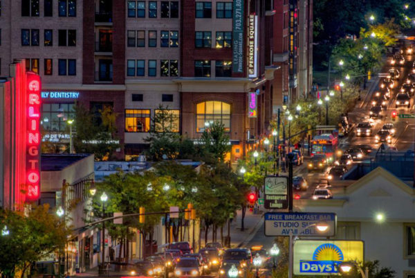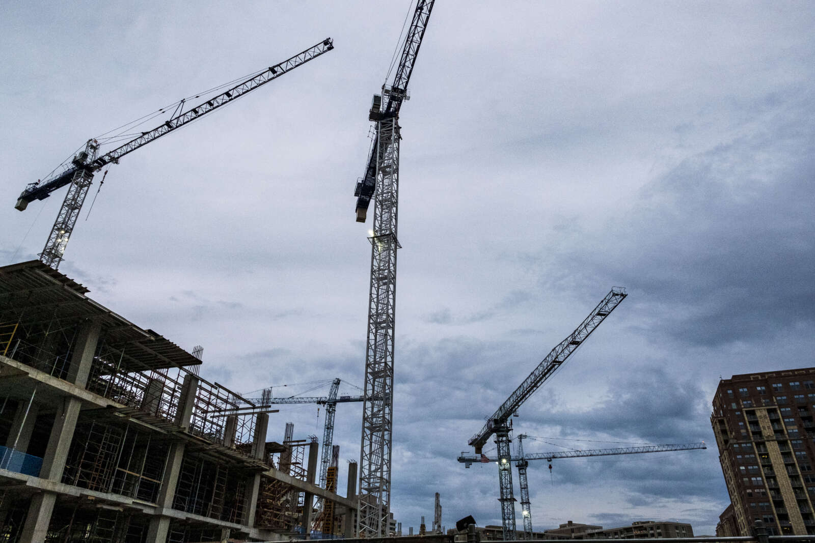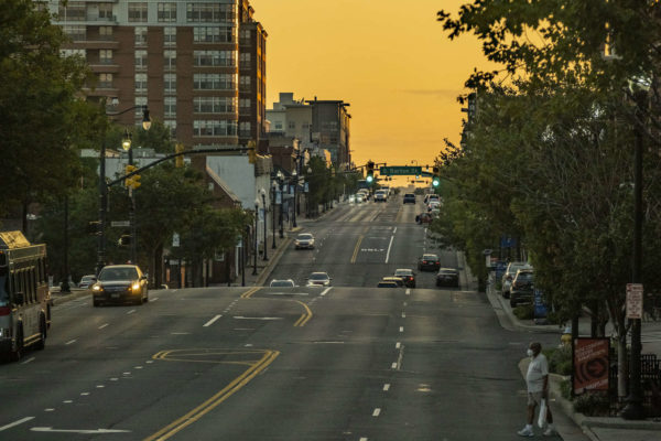
Columbia Pike at sunset on Monday night (Staff Photo by Jay Westcott)

An earlier version of this feature article was published via email for members of our ARLnow Press Club, whose support makes more in-depth reporting like this possible. Join the Press Club here.

The past, present, and future of Columbia Pike is rather easy to see.

Cross Glebe Road and there’s the Broiler, first opened in 1959 and, today, still slinging cheesesteaks. Right by the ramp to I-395, the historic Johnson’s Hill neighborhood (also known as Arlington View) remains home to a number of the same residents that have lived there for decades.

Drive the Pike from Washington Blvd to where it crosses Leesburg Pike in Fairfax County and you’ll see a number of low-slung businesses and massive apartment complexes that were built during the Eisenhower administration.

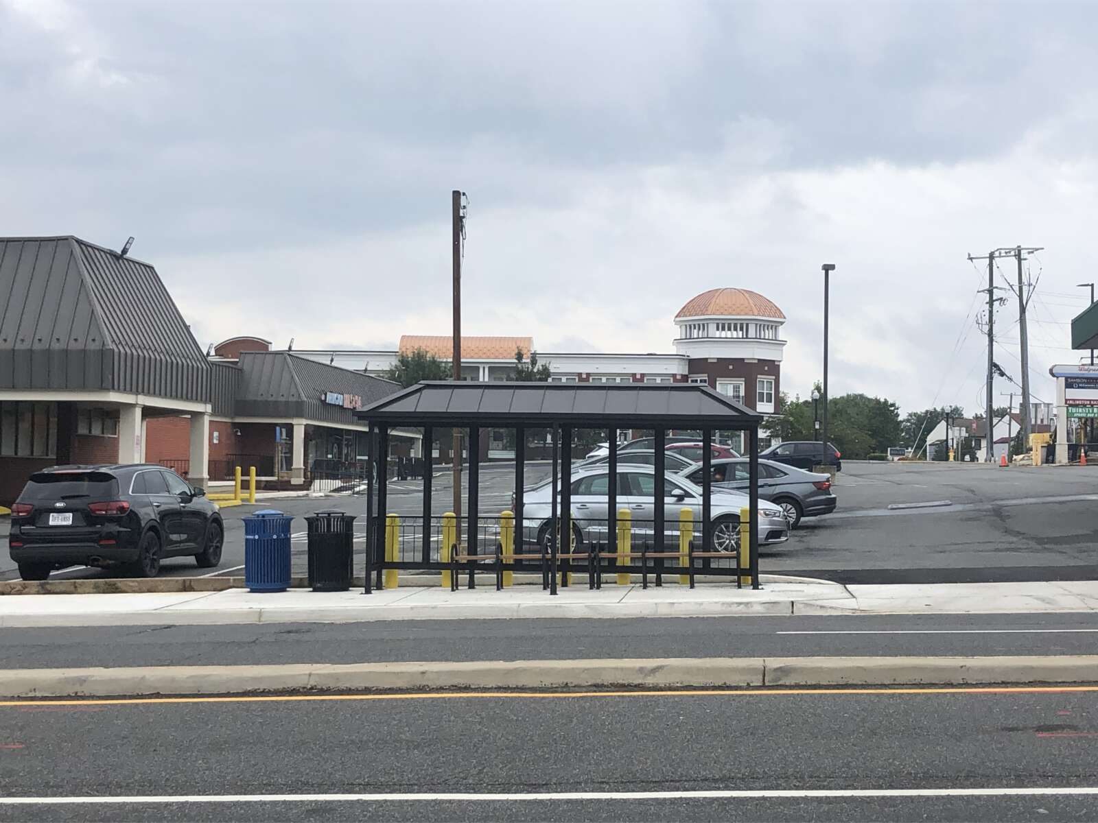
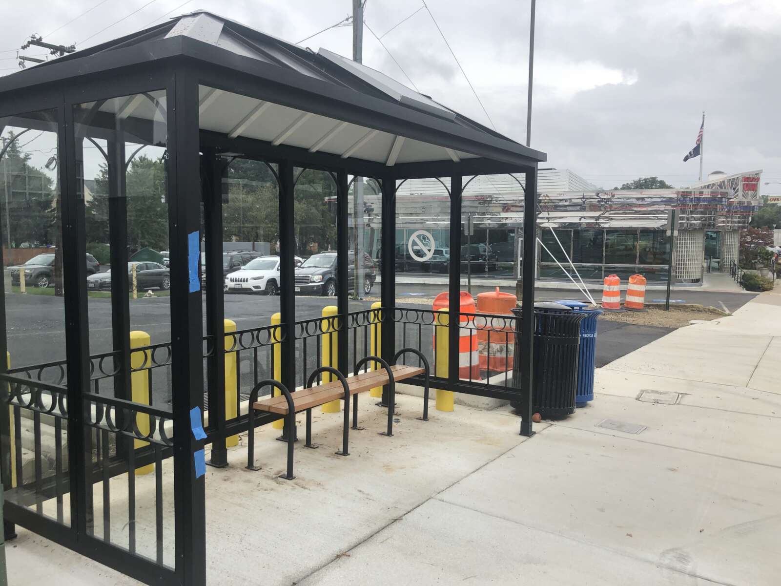
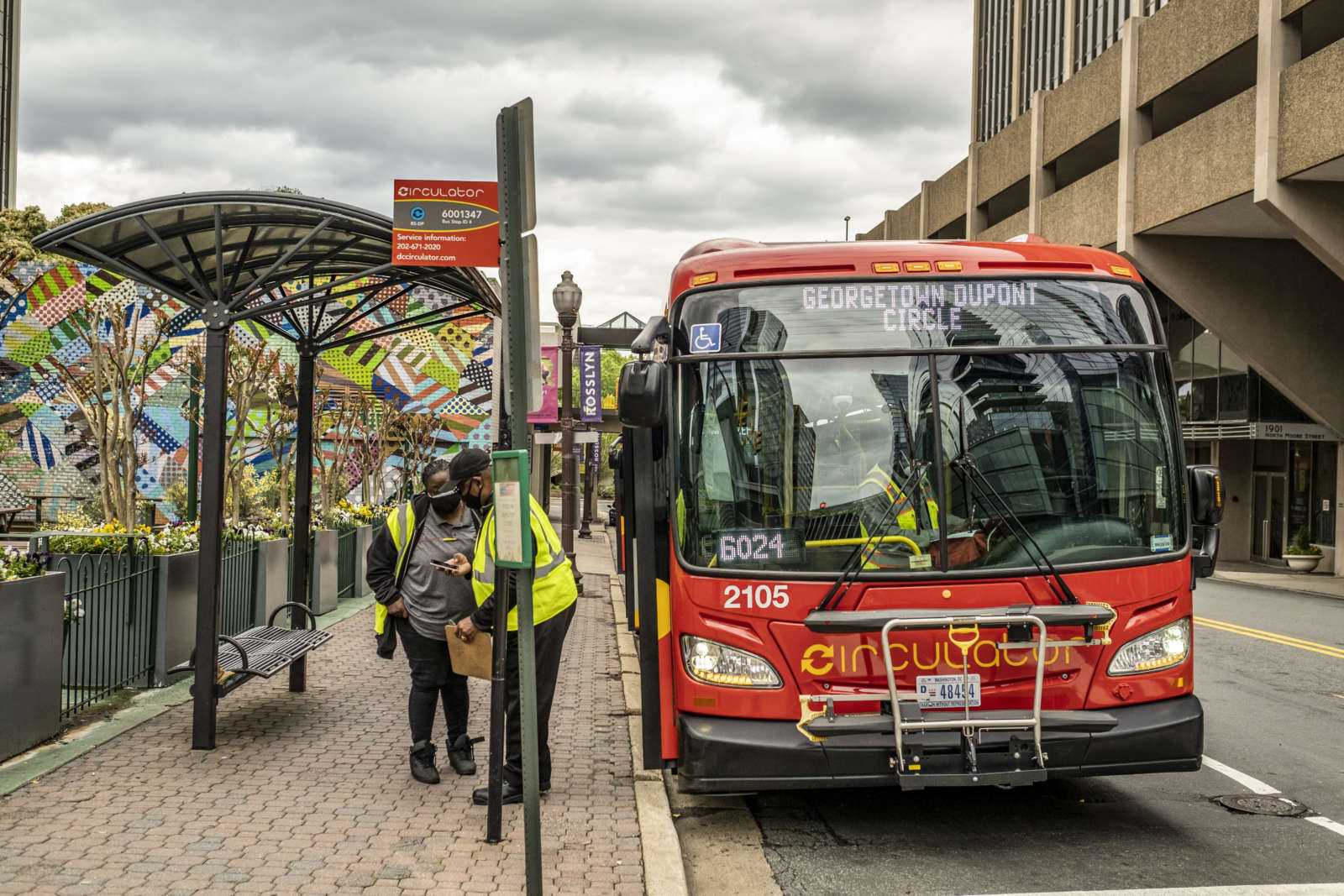
But, over the last decade, the Pike has seen plenty of change. There’s now modern shopping plazas, cavernous parking garages, and gleaming new apartment complexes. Sure, there’s no streetcar, but in frequent intervals buses go up and down the Pike, pausing at a million dollar bus stop (and, soon, numerous upgraded but less expensive stops).

The Pike has continued to have a reputation for being one of the more affordable areas to live in Arlington and, with that, a diverse neighborhood has thrived. The Pike — and its corresponding 22204 zip code — is often referred to as a “world in a zip code.”

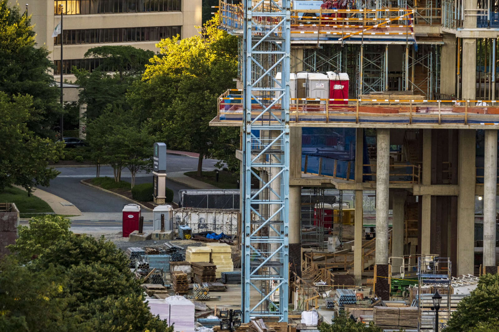
At the same time, the future is nearly here and it may bring changes that not everyone is happy with — or could afford. Redevelopment of decades-old shopping centers, forcing the closing of long-time legacy businesses. Garden-style apartments are being turned into 400-unit buildings. Mixed-use projects are set to replace under-used parking lots.

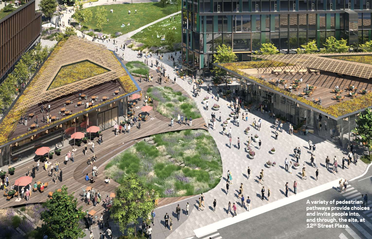
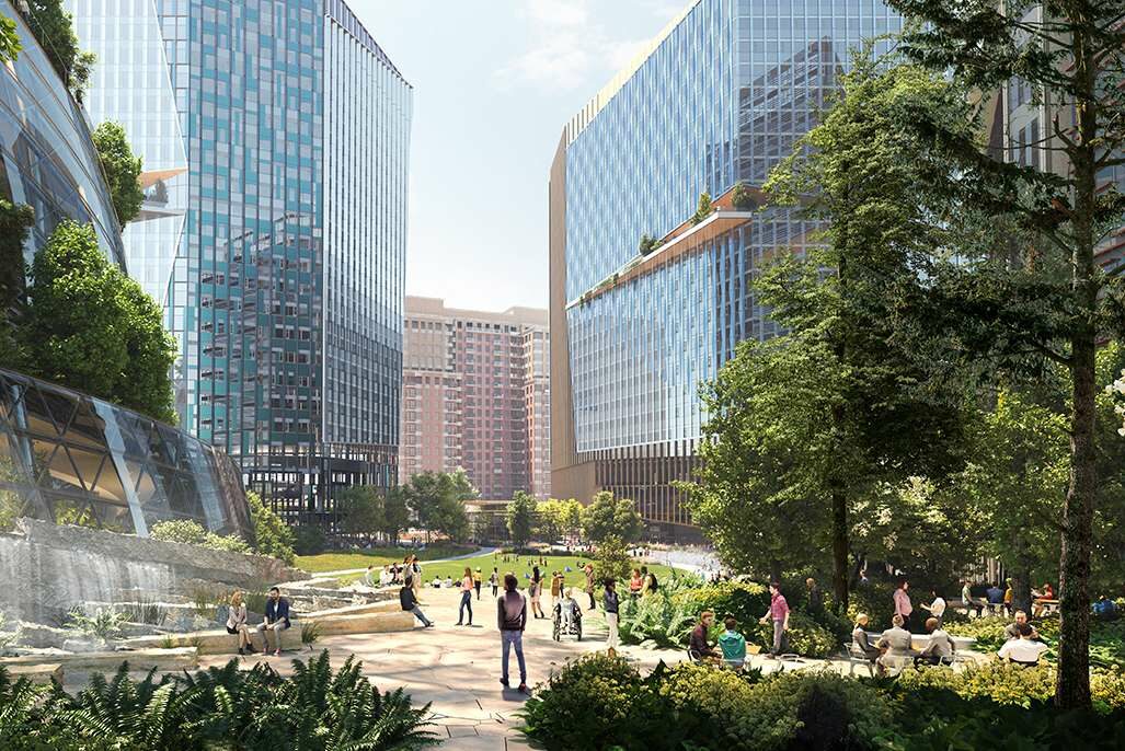
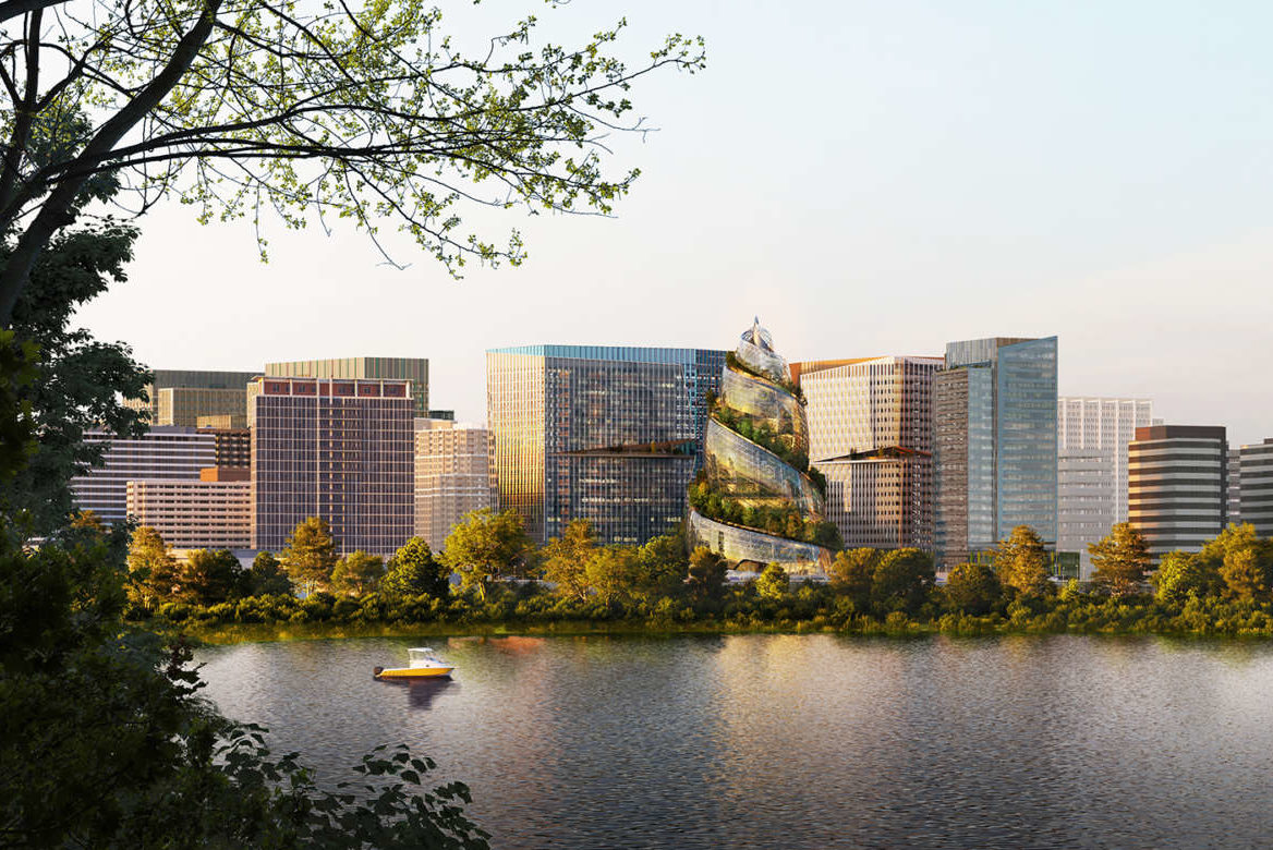
Not to mention, just a few miles away, Amazon is building a headquarters which is likely to bring more people and development to the Pike.

Today, about 41,000 people live along the Pike corridor, according to county data. That’s more that a 10% increase compared to a decade ago. Over the next thirty years, much of Arlington’s population growth is expected to be concentrated along the Pike.

Officials are looking to adapt to these changes by turning Columbia Pike into what the county calls a “vibrant… walkable, lively ‘Main Street’, an effort that first began more than 30 years ago.

In 1986, the Columbia Pike Revitalization Organization formed in response to the Arlington County Board providing a $50,000 grant towards economically reviving the Pike.

The grant and the formation of CPRO would be, as the Washington Post described at the time, “the first step in what some see as a 10-year effort to coordinate improvements that could lead to revitalization of the highway as well as a return of community pride.”

That was followed over the next decade plus by a number of revitalization plans, policy changes, and initiatives – including in 1990, 1998, and 2002 — all in an attempt to bring more businesses, “revitalize,” and create a more “vibrant” Pike.

But one of the most consequential shifts in what the Pike would look like going forward was the Board’s approval of the Columbia Pike Form-Based Code for commercial centers in 2003 and, a decade later, for residential areas.

“It really gave us a bit of a blueprint on how we were going to move forward,” CPRO Executive Kim Klingler tells ARLnow.

The purpose was to standardize how new buildings along the Pike were physically going to look and integrate into the community.

“It focuses on the form of the building, which is a little different from the way that other zoning codes work,” says John Snyder, Chair of CPRO’s board. “Like, how tall is the building? What’s the shape? [How many] setbacks from the street? How many stories should it be? [The code] puts together all the rules about that… it’s all set in advance.”

The intent was to “foster a vital main street” with mixed-use buildings that had shops, cafes, and other commercial uses on the ground floor and residences and offices above. It also encourages more sidewalks, trees, and public spaces (like Penrose Square).

The hope is to create a more dense, pedestrian, and public transportation-friendly community.

“A walkable community, like a traditional downtown,” says Snyder.

The plus of following a form-based code for the community is that it is known what new buildings are going to look like and avoids a potential years-long battle with a developer over details like height and design.

For the developer, adhering to the code provides incentives like more density and less red tape.

When first adopted, the county was one of the first jurisdictions in the country to use this strategy to redevelop existing, older neighborhoods.

For the most part, proponents say it has worked. While developers can choose whether they adhere to the code, more than 90% of the new buildings along the Pike were developed with it according to Snyder.

“We’ve gotten 12 or 13 new projects, gained some plaza areas we didn’t have before, and we got ground floor retail,” he says. “We got economic revitalization.”

But with economic revitalization, comes other challenges.

With more amenities, a neighborhood becomes more attractive and vulnerable to natural market forces.

“The whole idea for a building like Centro was to build one that has amenities like you’d expect on [Metro’s] Orange Line, except cheaper,” says Snyder. “Because it is close to everything… it drives prices up. And that puts pressure on the affordable apartments.”

While the county has made efforts to preserve and increase affordable housing along the Pike, not all of their proposals have been embraced by the public as good enough.

It isn’t just about rental units, either. Economic revitalization can drive up housing costs and potentially prevent those in the middle-income brackets from buying homes in the community.

While there are a lot of reasons why the Arlington housing market is hot right now, the redevelopment of Columbia Pike is a factor.

“[Housing] prices are definitely up and… can change the tone of a neighborhood,” says Snyder.

The county’s Missing Middle Housing Study is diving into how to address this challenge, but solutions may be hard to come by even if everyone wants to preserve a community that’s accessible for all.

“The goal has always been for the Pike to be a very diverse community — culturally, socioeconomically, and generationally,” Klingler told ARLnow. “We still want to make Columbia Pike a place for all people.”

But is that even possible? Some certainly don’t think so.

(more…)


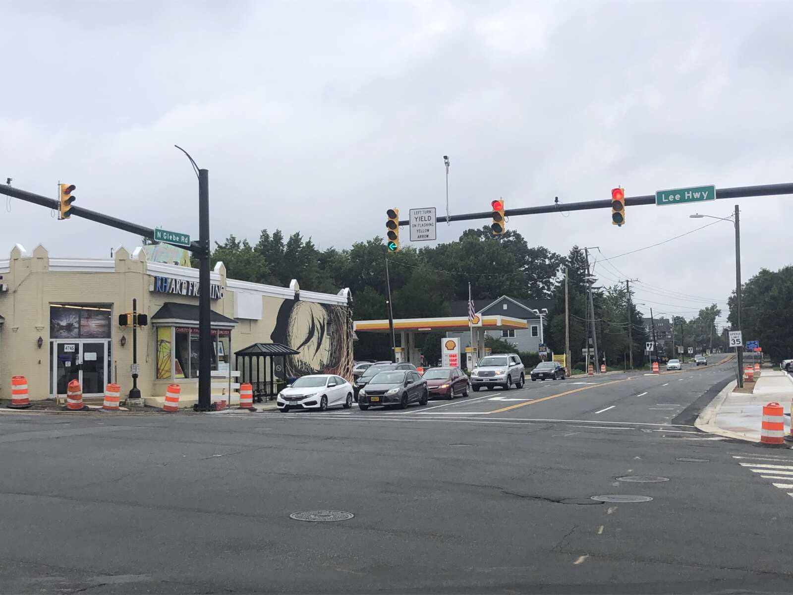
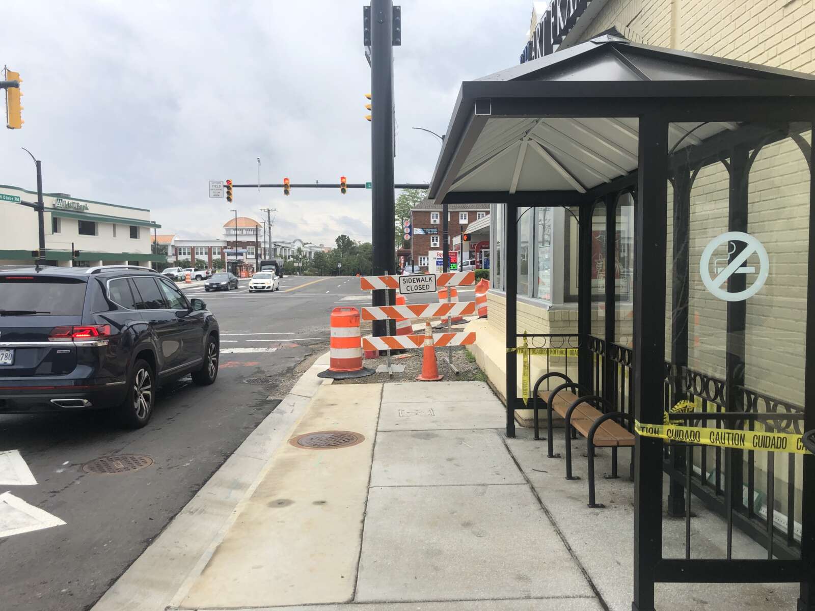
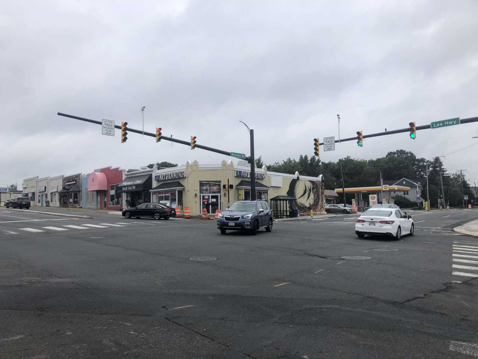
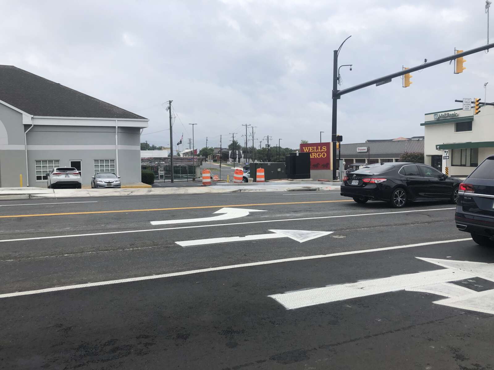
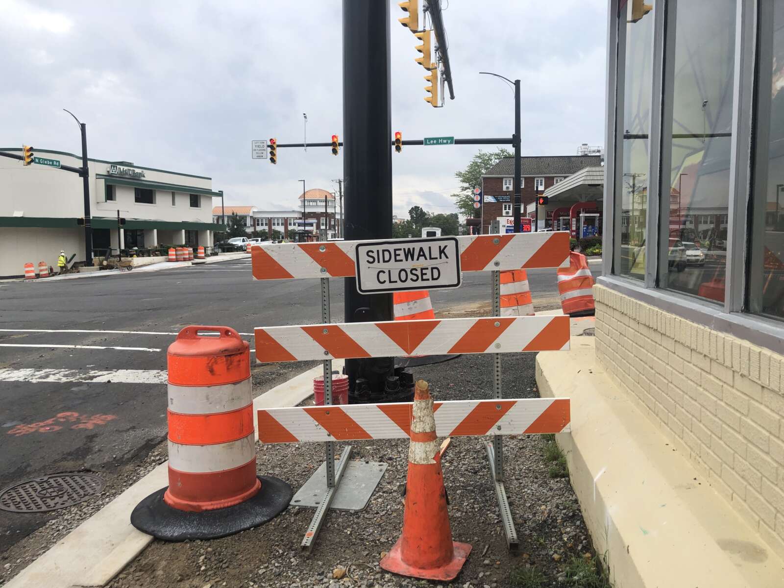
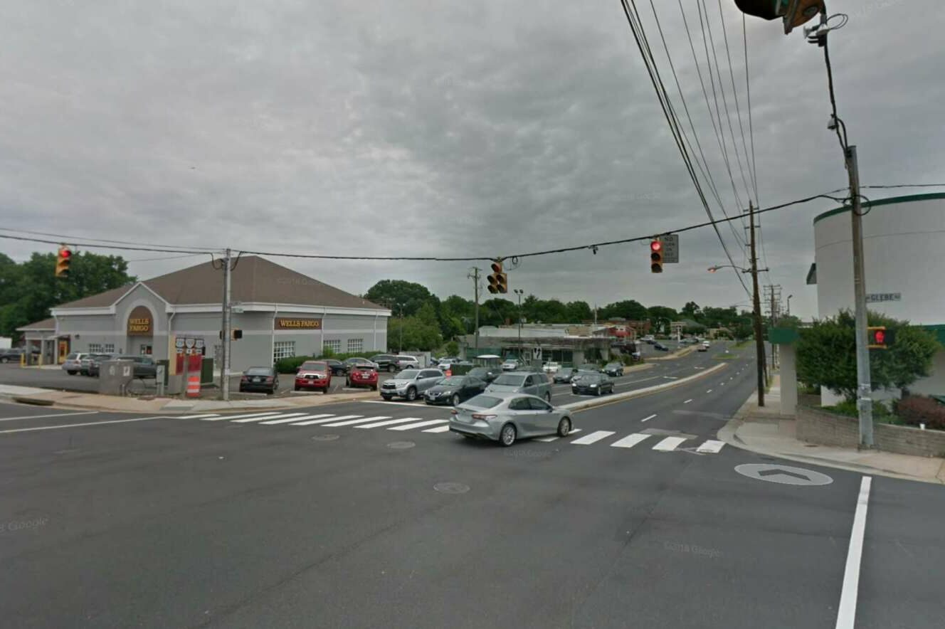
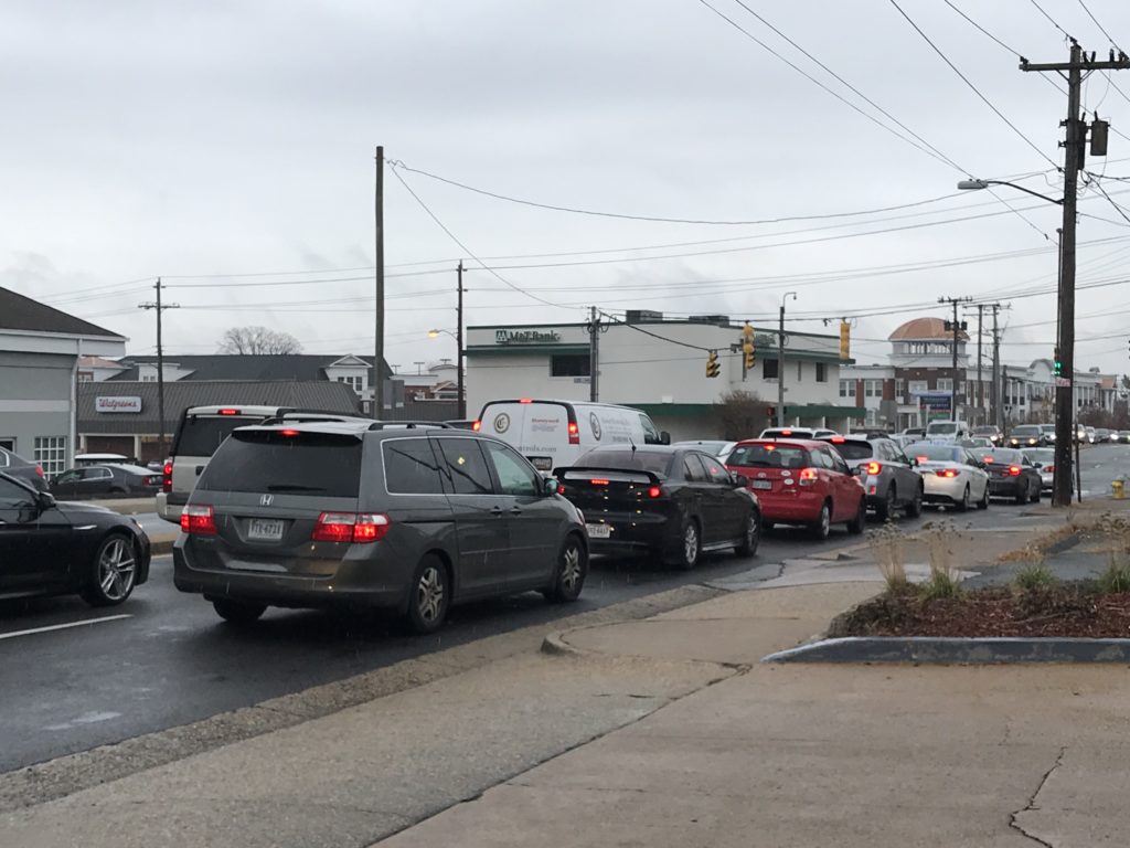
Construction is wrapping up at the intersection of Langston Blvd (Route 29) and Glebe Road.

Last week, the traffic signals hanging from wires were swapped out for new mast-arm signals. This week, the contractor is expected to complete the remaining sections of sidewalk, curb ramps, and curb and gutter, according to the county’s project webpage.

These changes were part of a years-long project to add dedicated left turn lanes, make bus stop upgrades, take utilities underground and replace an old water main. The changes were intended to improve safety, access and travel times for motorists, pedestrians and transit riders at the intersection.

And now, the county says the project is almost done.

“Construction on the intersection improvements is nearing the finish line,” the project’s webpage said.

Work was anticipated to be completed by this coming spring, but progress is moving faster than expected.

“Spring ’22 was the expected completion date when we started construction, but work has been ahead of schedule and we now expect substantial completion in September,” Arlington Department of Environmental Services spokesman Eric Balliet said.

The county said it will be releasing a schedule of the project’s final paving and the installation of the final pavement markings, both of which will likely occur at night this month (September).

The first phase of the project, including utility undergrounding, kicked off in 2017. The county has spent years obtaining easements from property owners along Glebe to allow the roadway expansion.

The County Board approved a $3.88 million contract for the remainder of the work in December 2019. Work started on this phase in May 2020, according to the project webpage.

This phase included the new exclusive left-turn lanes along N. Glebe Road “to ensure safer turning movements and reduce delays,” the county said. North-south traffic on Glebe had previously flowed only in one direction at a time, allowing turns without a dedicated turn signal but causing backups during rush hour.

The phase also included the mast-arm traffic signals with new phasing and timing, the upgraded water mains and stormwater infrastructure, enhanced crosswalks and bus stops, widened sidewalks and accessible curb ramps and commercial driveway aprons.

The need for upgrades to Langston Blvd and Glebe Road dates back to studies conducted in 2004.

“[The study] identified considerable traffic backups at the Lee Highway and Glebe Road intersection,” the county webpage said. “The backups resulted in traffic cutting through the neighborhood.”


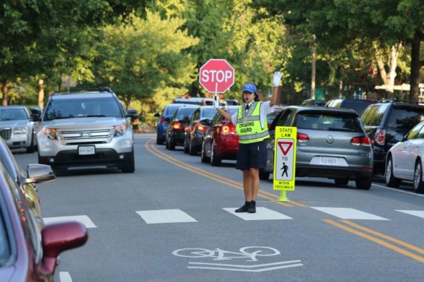
The Arlington County Police Department is reminding folks to navigate school zones and bus stops safely as Arlington Public Schools students return to class today.

“More travelers will soon be on our roadways as students begin walking, bicycling, and riding the bus to school when classes resume on Monday,” the department said in a release said. “With a little awareness and prevention, all travelers can arrive at their destinations in a timely and safe manner.”

It’s the first time APS students will be in class five days per week since before the pandemic.

Motorists will see variable message boards on county roadways reminding them to slow down, avoid distractions and watch for students, according to the release. The “high-visibility transportation safety campaign in and around school zones and bus stops” is intended “to ensure the trip to class is as safe as possible.”

Police recommend families talk to their kids about safety, too.
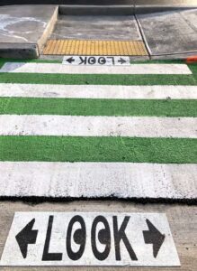
“Safety is everyone’s responsibility and back-to-school is an opportune time to remind students about important steps that can help keep them safe while out in the community,” the department said.
The police department and Arlington Public Schools published a video with safety reminders.

The press release included the following safety tips for drivers, cyclists and pedestrians.

Transportation Safety Tips

Drivers are reminded to:

  • Obey speed limits which may change during school zone times.
  • Avoid distracted driving and keep your attention on the road.
  • Watch for students walking and riding bikes to school.
  • Don’t pass a stopped school bus loading or unloading passengers.On a two-lane road, vehicles traveling in both directions must stop.
  • On a multi-lane paved road, vehicles traveling in both directions must stop.
  • On a divided highway, vehicles behind the bus must stop. Vehicles traveling in the opposite direction may proceed with caution.
  • Have all vehicle occupants wear their seatbelts.
  • Pick-up and drop-off students in designated locations.

Pedestrians are reminded to:

  • Cross the street at marked crosswalks and never against a red light.
  • Look before you cross and follow the direction of school crossing guards or APS staff members.
  • Always walk on designated sidewalks or paths, never along the side of a road.

Bicyclists are reminded to:

  • Wear your helmet. Helmets are required for riders ages 14 and younger but are recommended for all.
  • Keep right and ride with traffic.
  • Secure your bicycle with a lock when not in use

General Safety Tips for Students

Safety is everyone’s responsibility and back-to-school is an opportune time to remind students about important steps that can help keep them safe while out in the community. Parents and guardians are also encouraged to role-play possible situations with students and discuss personal safety and awareness tips.

Ensure students:

  • Know their address, telephone number and how to contact a parent or guardian.
  • Remain aware of their surroundings.
  • Walk or bike with another person, whenever possible. Stay in well-lit areas.
  • Limit the use of devices that may distract them.
  • Avoid engaging with or answering questions from strangers.
  • Immediately report anything that makes them feel unsafe to a trusted adult.

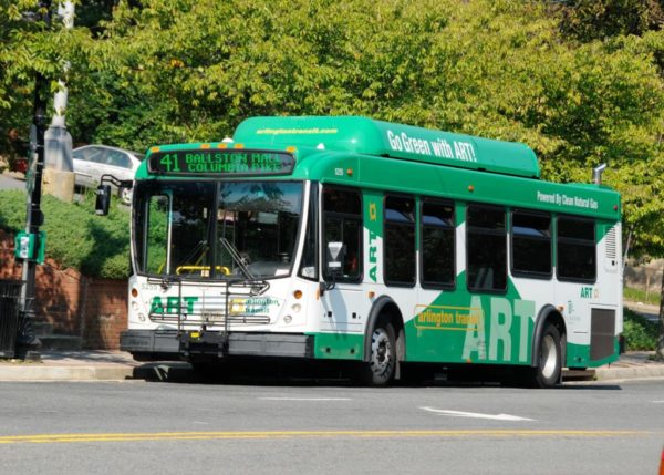
An ART bus (via Arlington Transit Facebook)

(Updated at 11:55 a.m.) Arlington Transit buses will return to full service after Labor Day weekend, the county-run transit agency says.

Rush-hour-only ART buses 53, 61, 62 and 74 will run again starting Tuesday, Sept. 7, after being out of service since March 2020 due to the pandemic. Once these buses resume operation, Arlington Transit will largely be back at full service. ART 72 will continue on a modified weekday schedule, however.

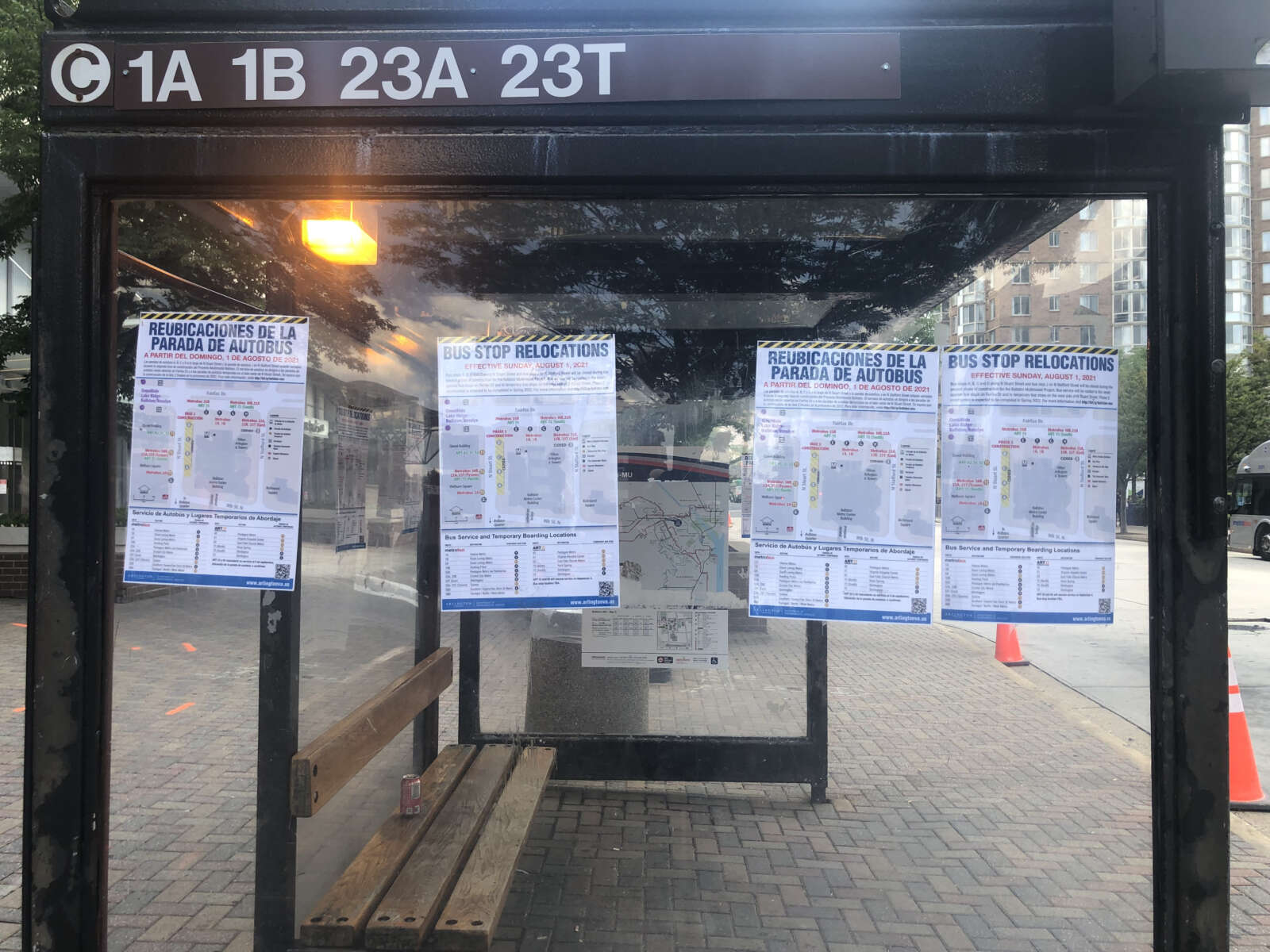
With construction ongoing around the Ballston Metro station, ART 53 and 62 bus stops will be relocated near the Metro elevator on Fairfax Drive.

While seating restrictions were lifted on Aug. 1, riders will still be required to wear masks as per a federal mask mandate for passengers on planes, trains and buses from the Transportation Security Administration, effective until January 2022.

Meanwhile, Metrobus is set to implement some changes after Sunday, Sept. 5, adding more buses and trains and extending Metrorail’s weekend hours.

Notably, bus 16Y from Columbia Pike to Farragut Square will resume operation, going both directions during weekday rush hours. The limited-stop service route, which once connected Columbia Pike stops to McPherson Square in D.C., was halted during the pandemic and was absent from when a number of routes were restored earlier this summer.

Buses 16A, 16C and 16E in Columbia Pike and 16G and 16H between Columbia Pike and Pentagon City will get service upgrades as well.

“Service will operate every 12 minutes or better from 7 a.m. to 9 p.m. daily between Columbia Pike & South Joyce Street and Columbia Pike & South Dinwiddie Street at stops served by all routes,” WMATA said.

Bus 25B from the old Landmark Mall in Alexandria to Ballston will see some changes, with Alexandria working to overhaul its own DASH bus network. 25B will travel between Ballston, Southern Towers and Mark Center every day except Sunday, and between Ballston and Southern Towers on Sundays.

Metrorail trains will be available until 1 a.m. on Fridays and Saturdays, an hour later than was previously offered. Trains will also start running earlier on Sundays, with riders able to board at 7 a.m. rather than 8 a.m.

More on the planned Metro changes from a press release, below.

(more…)


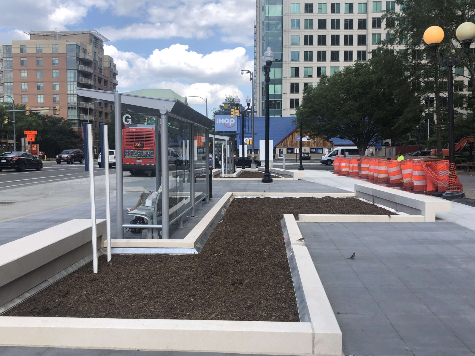
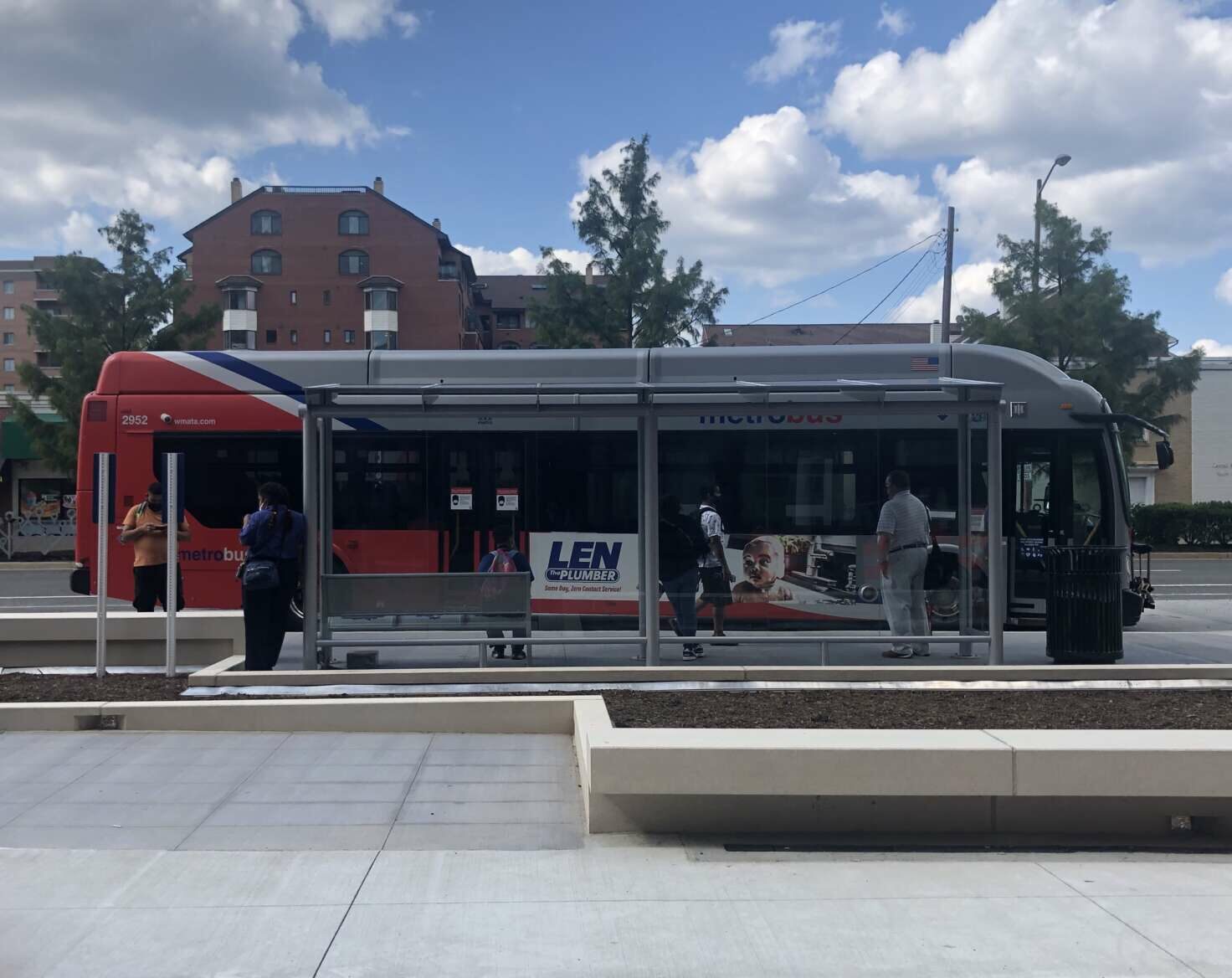
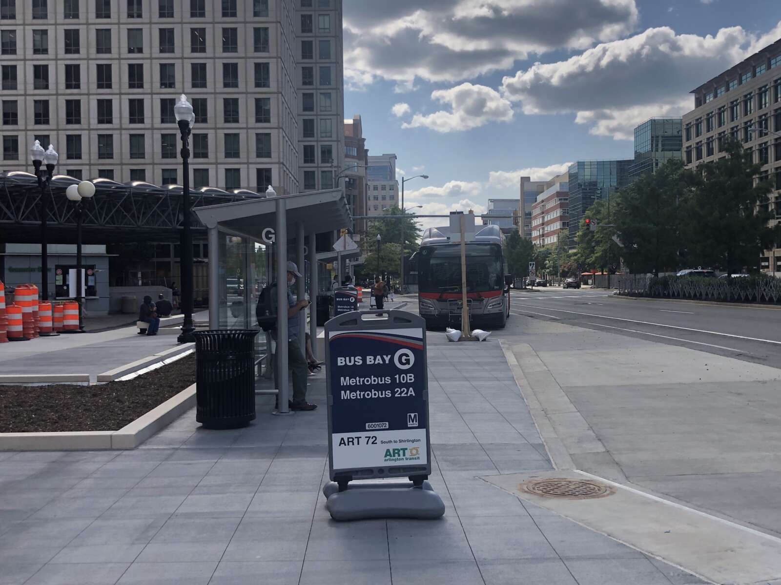
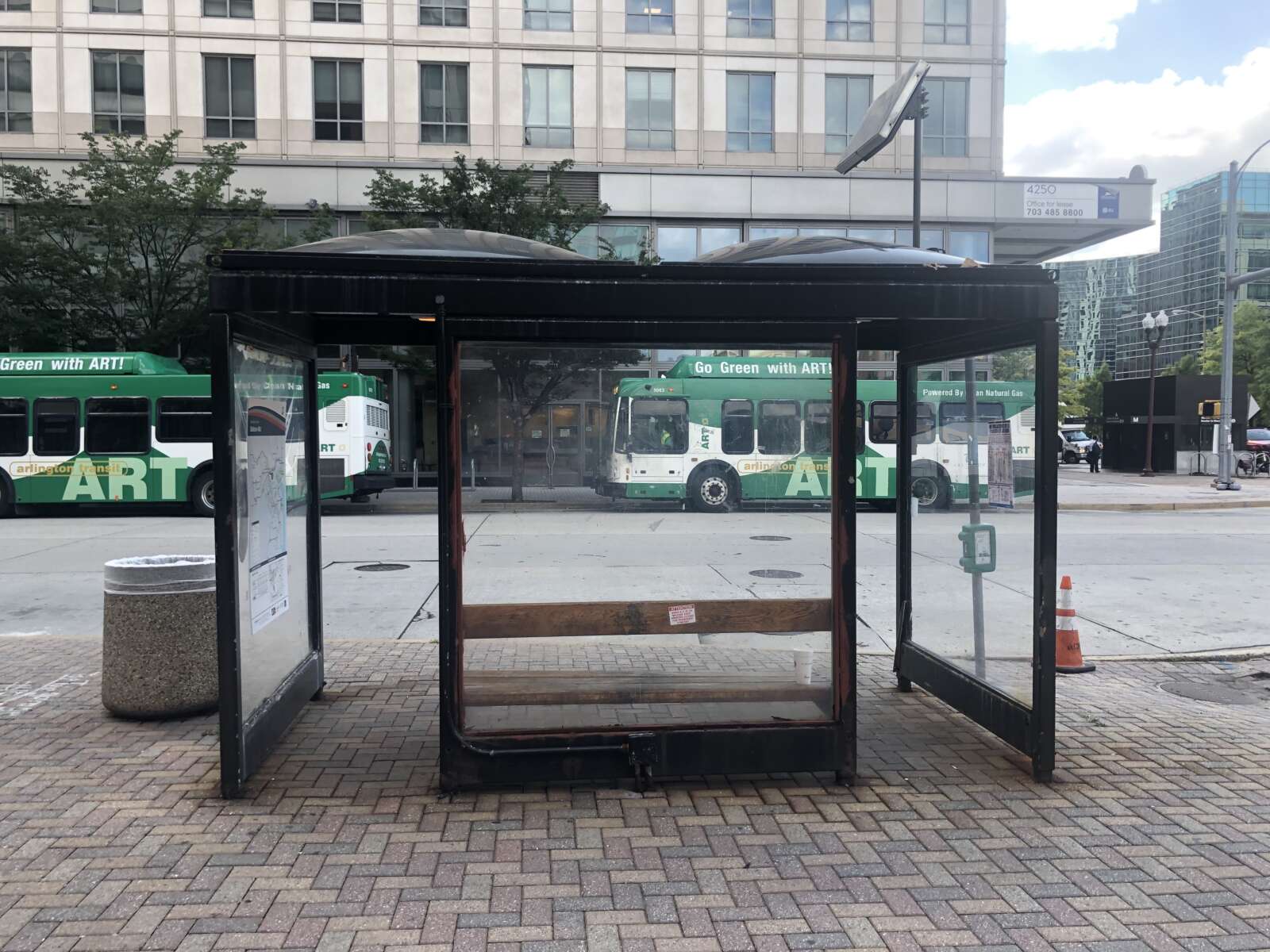
Commuters in Ballston now have access to new bus bays on Fairfax Drive, outside the entrance to the Ballston Metro station.

The refreshed bus bays feature “new bus shelters, sidewalks, and planters,” said Eric Balliet, a spokesman for Dept. of Environmental Services. He added that work along Fairfax Drive should be “substantially complete in August.”

These upgrades are part of a four-phase project to update the transit facilities and public areas surrounding the Metro station. Improvements to multimodal facilities along Fairfax Drive comprise the project’s first phase.

The county expects the project will be 100% complete next summer, he said. The goal of the project is to increase transit usage and safety, improve the facilities as well as access to them and circulation around them, and enhance their design and provide sustainable infrastructure.

With phase one nearing substantial completion, the county is embarking on the second phase. Access to bus bays and pedestrian paths along the east side of N. Stuart Street will be impacted during this phase, which is expected to last until spring 2022, the project webpage said.

“Access to businesses along east side of N. Stuart Street will be maintained throughout this phase,” the webpage noted.

Since Sunday, some ART and Metrobus service along N. Stuart Street and N. Stafford Street has been relocated to the new bus stops on Fairfax Drive and temporary ones on the west side of N. Stuart Street. On Monday, attendants could be seen helping commuters get to the right bus stop.

WMATA say it is still working to provide printed schedules for riders.

Phases three and four will focus on upgrades to two plazas, one on N. Stuart Street and one on Fairfax Drive, and each phase is expected to last three months. Once all four phases are complete, commuters will see a number of additional upgrades, such as additional bike parking, expanded public space along Fairfax Drive, a dedicated “kiss-and-ride” curb space and a dedicated shuttle bus curb space and bus shelter.

In addition, “landscaping and benches for the planter areas, bus stop flag poles and real-time bus information displays will be added toward the end of the project,” Balliet said.

The County Board approved the project in December 2019, and construction — expected to last 18 months — was slated to begin in the summer of 2020.

“The project experienced delays due to the need to relocate telecom and electric utilities lines,” Balliet said. “We now expect the entire project to be completed in summer 2022.”


The good news for users of the Mount Vernon Trail is that a proposed widening project was selected for state funding. The bad news? It will be 2026 before work even starts on the project.

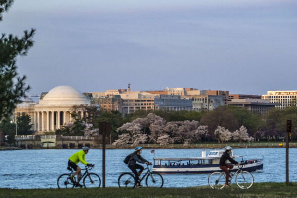
As anyone who has bicycled or walked along the popular trail could likely attest, there are parts that can feel dangerously narrow. Last year, the National Park Service released a report recommending widening. The report noted that there were 225 reported bike and pedestrian crashes on the trail between 2006 and 2010, many of them at crash hotspots near National Airport and the 14th Street Bridge.

Some spots along the trail are in notoriously poor condition, like the infamous Trollheim Bridge section south of Roosevelt Island, where the trail’s wooden planks often become slick in icy or rainy conditions.

The goal of the approved project is to improve and reconstruct approximately 6.5 miles of the trail, from the access point to Roosevelt Island down to Jones Point Park in Alexandria. One of the most narrow stretches of the trail, a single-lane tunnel under Memorial Bridge, is on Columbia Island, which is technically part of D.C.

According to the application, the project would “widen the trail’s paved surface from between seven and eight feet to 11 where feasible.”

The total project cost is estimated at $33 million, with $29 million funded by the Virginia SMART SCALE grant — which doesn’t fund the needed improvements on Columbia Island. The grant was on the list of projects approved by the Commonwealth Transportation Board at a meeting on June 23.

The widening is likely a few years down the road. The National Park Service previously said work could begin on the trail starting in 2026, Greater Greater Washington reported.

https://twitter.com/TrailsCoalition/status/1417887666671128578


Amazon wants its employees to bike to work so much it will pay them to do it.

The e-commerce and cloud computing giant announced today it will be paying employees $350 a month to HQ2 employees to cover the costs associated with cycling, from rentals to maintenance to parking at public transit stations.

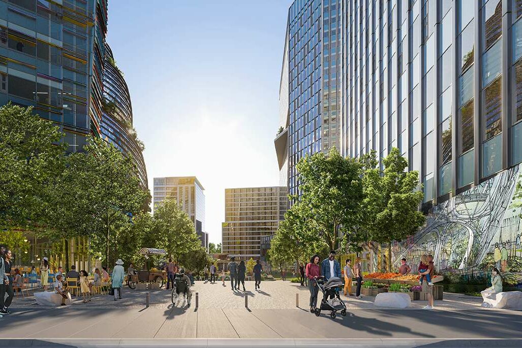
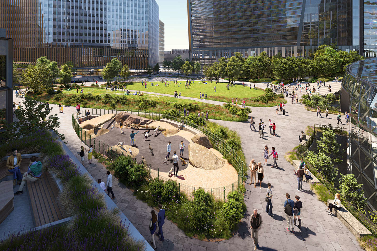
The news comes as the company prepares to return its still-remote employees to in-person work. In Arlington, Amazon is currently leasing a number of office spaces in Crystal City while the two phases of its forthcoming permanent campus in Pentagon City, Metropolitan Park and PenPlace, continue to take shape.

As of May Amazon had more than 1,600 Arlington employees and was in the process of hiring for 1,900 new positions in a variety of technical and non-tech roles.

More from the bike announcement on then Amazon blog:

“We are looking forward to welcoming our employees back to our offices and want to encourage them to rethink the way they get to and from work, so we’re creating new incentives to pick a greener way to commute — even if it is just one to two days a week,” said John Schoettler, vice president of Global Real Estate and Facilities. “Reducing our carbon footprint is a multifaceted effort that includes building urban and well-connected campuses, designing buildings that use renewable energy, and making it easy for employees to choose public transportation over their single-occupancy vehicles.”

Amazon employees who bike to work will receive a subsidy to cover associated costs, including:

  • Bike leases: Employees can lease a take-home bike, including e-bikes, for a monthly fee eligible for reimbursement.
  • Bike share: Employees can expense costs for dockless or docked short-term, app-based rental bicycles.
  • Maintenance: Employees can take advantage of two complimentary tune-ups each calendar year.
  • Bike parking: Employees can access bike parking at public transit facilities or offices without Amazon bike cages.

These bike benefits are available to all employees who haven’t signed up for ongoing parking in an Amazon parking garage.

The plans for HQ2’s two phases include a number of bike and transit-friendly facilities.

Each office building will have dedicated street-level bike entrances, and the campus will feature one-quarter mile of new protected bike lanes and more than 950 on-site bike spaces.

The bike subsidy announcement notes that other bicycling amenities are included at Amazon offices.

“In addition to offering bike cages for employees to store their bikes, most of Amazon’s corporate offices also have showers for bikers to get ready at work,” the announcement said.

On social media, local cyclists were generally complimentary of the new benefit, though with some reservations.


A mobility advocacy group is asking the county to build a three-year plan for funding projects that make non-car transit faster, more desirable and safer.

And the group, Sustainable Mobility, is trying to capitalize on signs that people are interested in bicycling and walking more coming out of the pandemic. 

“We have to seize that opportunity before everybody gets into their cars again,” said Chris Slatt, the group’s president, who is also chair of the Transportation Commission and an opinion columnist on ARLnow. “This is an inflection point. Arlington has let too many opportunities pass during COVID-19 — we never achieved open streets, when people demanded more space to walk, sit and eat — we need them to do better now.”

Its recommendations respond to a draft document outlining the large projects that Arlington County intends to embark on over the next three years. This plan, called the Capital Improvement Plan, is winding its way through review processes and is set to be approved by the County Board in July.

Volunteers from Sustainable Mobility, or SusMo, combed through the transportation projects and identified a handful to nix, postpone or kick to developers for funding and implementation, which they say could free up about $17 million that could fund 20 projects or programs.

The alternative projects fall into five of SusMo’s priority areas:  

  1. Funding Vision Zero
  2. Speeding up transit 
  3. Building safe routes to every school 
  4. Building out the bike network for all ages and abilities   
  5. Expanding and connecting the trail network 

“None of what’s in our plan is really our idea,” Slatt said. “It is all things that are in sector plans, projects that… the county already has [identified], projects that were identified in the bicycle element of the Master Transportation Plan, or just ways to fund priorities that Arlington says they already have.” 

Highlights include:

  • Changing the signals to reduce the time buses spend at intersections
  • Completing the Arlington Blvd Trail
  • Conducting a feasibility study of dedicated transit and high-occupancy vehicle lanes on Columbia Pike
  • All-door bus boarding and off-vehicle fare collection, to speed up buses
  • A trail on the west side of Carlin Springs road, with a connection to the W&OD Trail, to provide a safer route to Kenmore Middle School
  • Protected bike lanes on S. George Mason Drive between Route 7 and Route 50, providing a safe connection to Wakefield High School
  • Additional capital funding for other Safe Routes to School projects
  • Protected bike lanes on a portion of N. Highland Street in Clarendon
  • A two-way protected bike lane on Fairfax Drive between Ballston and Clarendon
  • Other “neighborhood bikeways”

Some projects are already in the County Manager’s draft Capital Improvement Program proposal, including a feasibility study for a trail underpass under Shirlington Road near the Weenie Beenie, and a new trail along the Arlington National Cemetery wall between Columbia Pike and Memorial Avenue.

(more…)


Arlington County is considering lowering the speed limit along a number of corridors with lots of pedestrian activity.

On Saturday, the County Board will decide whether to authorize a public hearing next month to discuss and potentially approve the reductions, which would impact seven corridors throughout Arlington.

The proposals were generated from traffic studies conducted at the request of some citizens, staff and Arlington County Public Schools, according to a report. These studies looked at speeding and crash statistics as well as anticipated pedestrian and bicyclist activity and future projects, among other considerations.

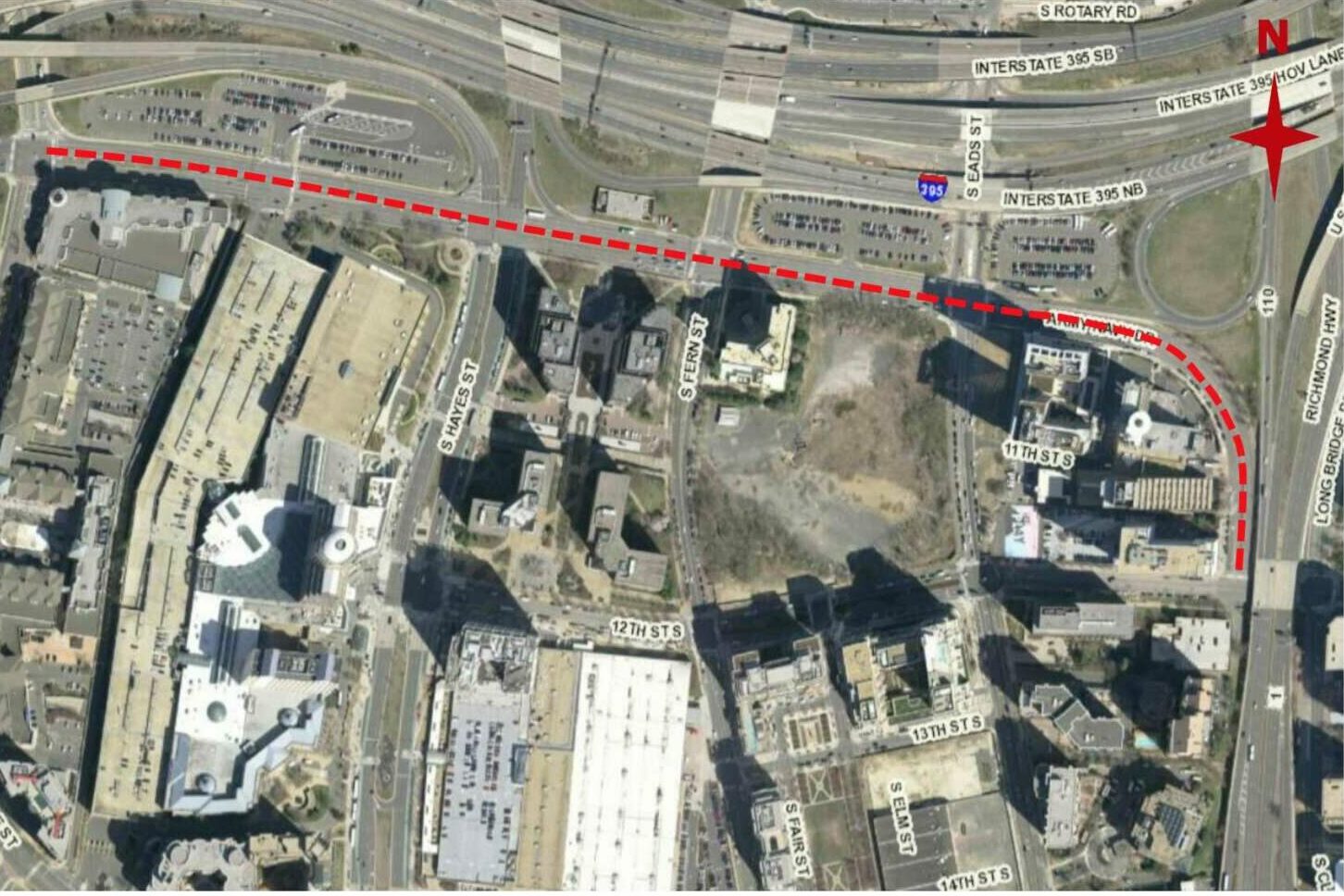
Overall, the studies concluded that lower speed limits would help the county reach its new goal of zero transportation-related deaths and serious injuries by 2030, also known as Vision Zero. Two reductions along Army Navy Drive would also prepare drivers for an upcoming construction project that would rebuild the road to be more pedestrian- and bicycle-friendly, the report said.

“As part of the Streets Element of the Master Transportation Plan, a policy was established to design streets to generally favor lower vehicle speeds without impeding or diverting existing vehicle volumes,” the document said. “One of the implementation actions for that policy is the adoption of lower speed limits for arterial streets on which there are high volumes of pedestrian crossings and higher density land development.”

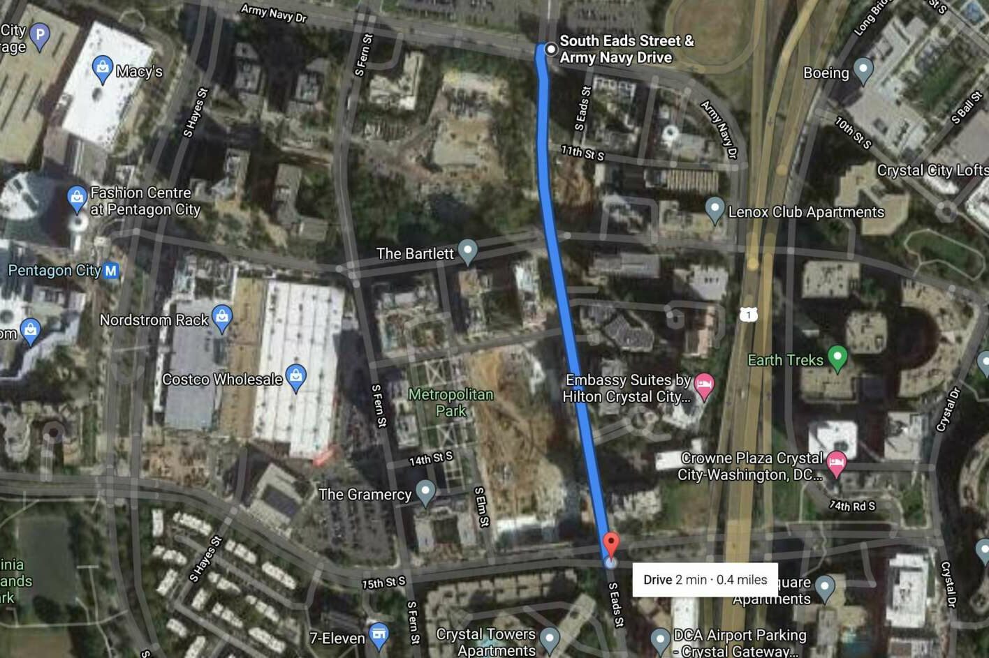
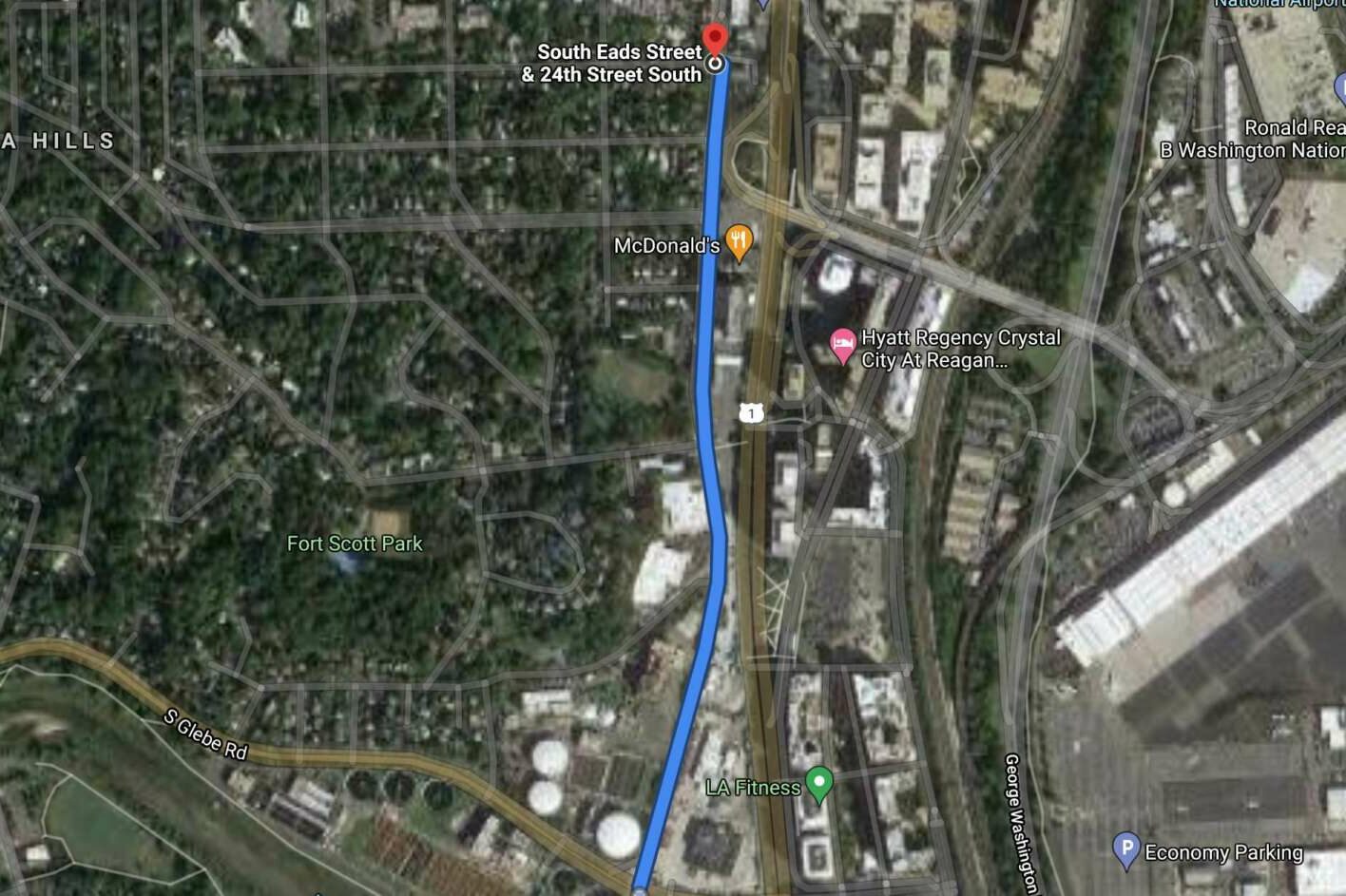
The studies recommend lowering the speed limit along Army Navy Drive from S. Joyce Street to 12th Street S. from 35 to 25 miles per hour.

Speed limits on six other road segments would be lowered from 30 to 25 miles per hour:

The project to rebuild Army Navy Drive as a “Complete Street” is in its final design and review phases, according to the county. During construction, the county is recommending a reduced speed along Army Navy Drive of 25 miles per hour. Making the change now would get drivers accustomed to the change, the document said.

“Significant roadway enhancements are included in this project, so to decrease the speed at the onset of construction would provide for a safer work zone for workers and roadway users and support the expectation of lower speeds once the project is completed,” the report said.

The Army Navy Drive project is intended to improve local connections between the Pentagon and the surrounding commercial, residential and retail services by reducing the number of lanes and their width, enhancing pedestrian and cycling activity, and improving transit facilities.

The studies also found that along all seven corridors, “the majority of motorists are comfortable driving within 5 mph of the existing posted speed limit and the proposed decreased speed limit of 25 mph.” Lower speed limits can help accommodate new development and more robust transit infrastructure in the future, the studies suggest.

These changes would cost about $1,500 per corridor to purchase and install new speed limit signs, for a total of $10,500.


If you see some fresh red paint on the pavement in Arlington, that’s a lane that has been designated for use by buses only.

County crews could be seen painting the new lane markers in Courthouse last week.

The new “bus only priority lanes and stops” are intended “to help improve transit safety, service and reliability,” Arlington Dept. of Environmental Services spokeswoman Kathryn O’Brien tells ARLnow.

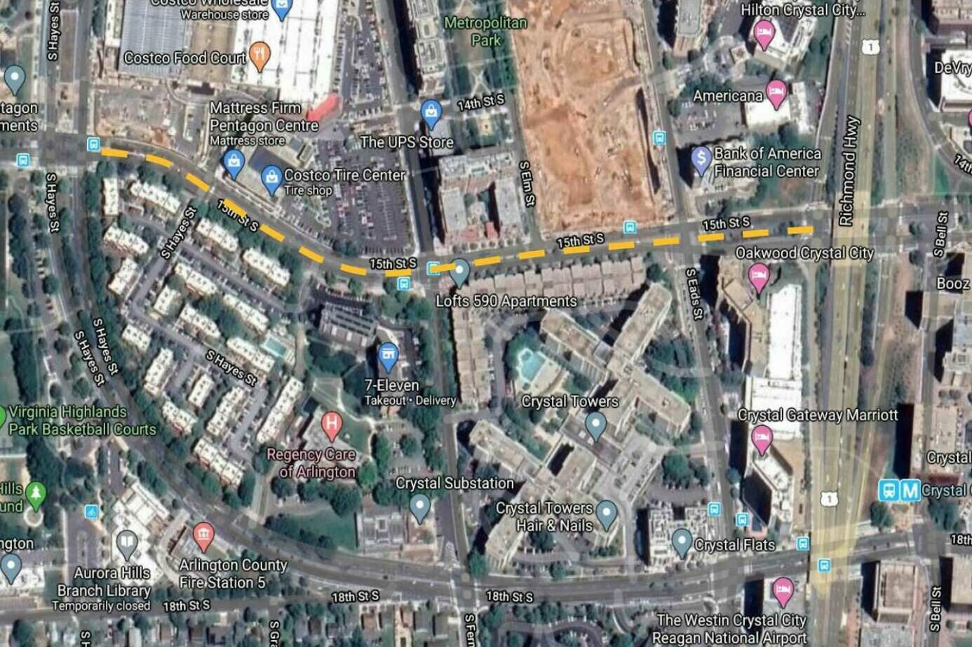
Seven red-painted portions of roadway are planned throughout the county, O’Brien said, including:

  • 27th Street S. and Potomac Avenue in Crystal City
  • 33rd Street S. and Crystal Drive in Crystal City
    S. Hayes Street and 12th Street S. in Pentagon City
  • Crystal Drive and 26th Street S. in Crystal City
  • 15th Street N. and N. Uhle Street in Courthouse
  • Clarendon Blvd and N. Uhle Street in Courthouse
  • Wilson Blvd and N. Uhle Street in Courthouse

“They should all be completed within the next week,” O’Brien said of the painting effort.

Photo courtesy Lisa C.


By 2030, Arlington County aims to have zero transportation-related deaths and serious injuries on its streets and trails.

The County Board took its first step toward this ambitious goal in July 2019, the same year that Arlington registered six fatal crashes, according to county data. The board adopted a “Vision Zero” resolution that, at the time, offered few details. Its second step was to draft a five-year action plan.

After more than a year of work by county staff and review by advisory commissions, the final draft of the first five-year Vision Zero Action Plan, with those long-awaited details, is set to be reviewed by the County Board next Saturday (May 15).

This plan — informed by local crash data, public engagement and talks with other Vision Zero communities — lays out one-time and ongoing projects aimed at improving public safety. These range from installing automated traffic enforcement cameras and lowering speed limits to maintaining a crash data dashboard and educating children about safety with help from Arlington Public Schools.

If adopted, the plan will result in a number of changes locals will see and experience, Principal Planner Christine Baker told the Arlington Transportation Commission in February.

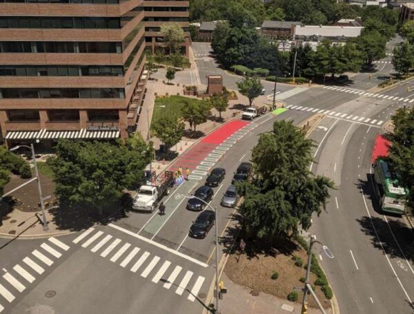
She said these will include enhanced intersections (shown below) and improved warning signs, as well as more education programs and messaging from the Arlington County Police Department.

“It’ll take time to see these improvements on every single street in the county, but in the meantime, we’re going to be reporting our progress on the program,” Baker said. “We’re really excited to be diving into this program.”

The county will update its website and send emailed updates telling people “when they’ll be able to recognize Vision Zero is on the streets,” she said.

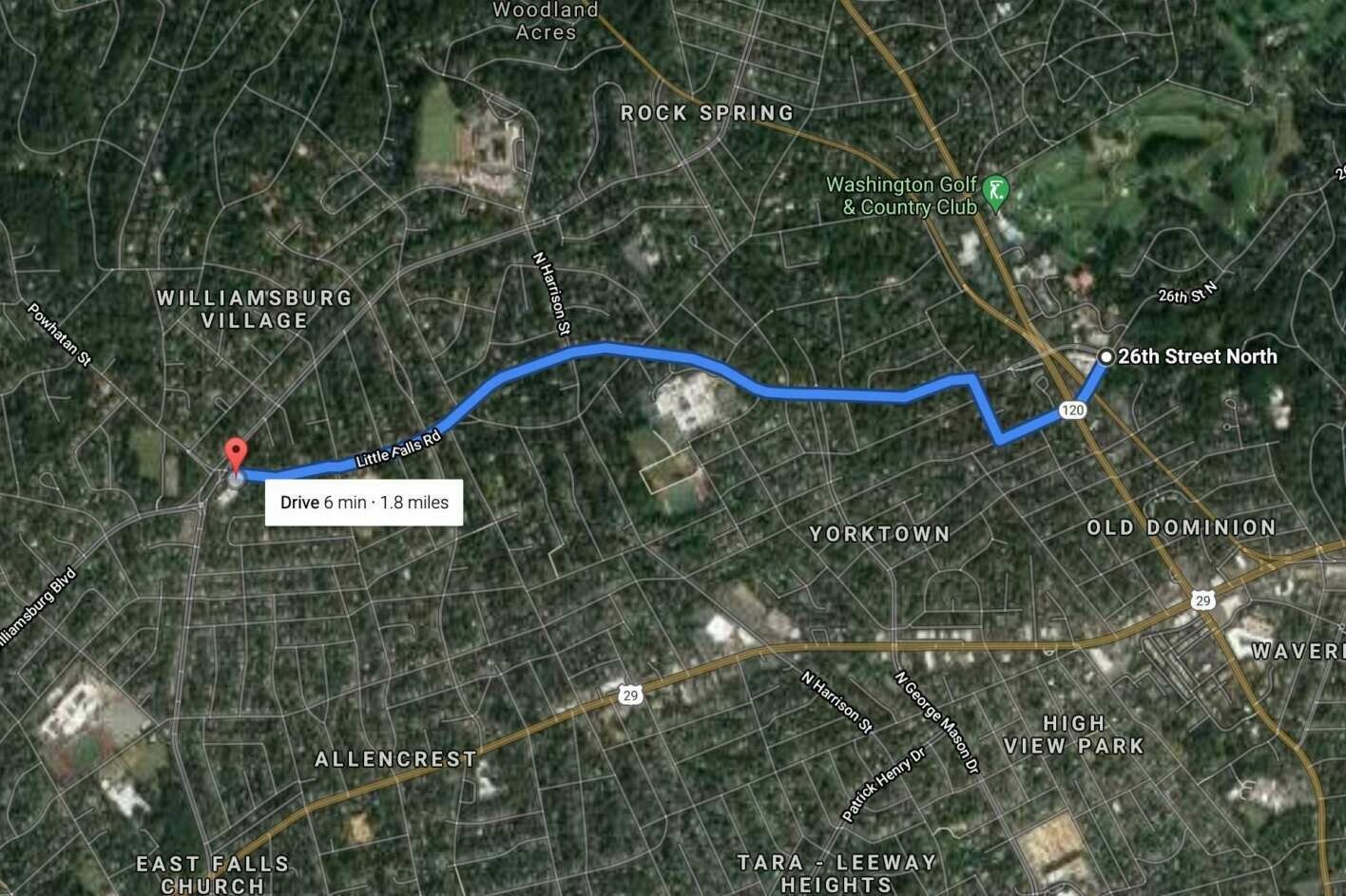
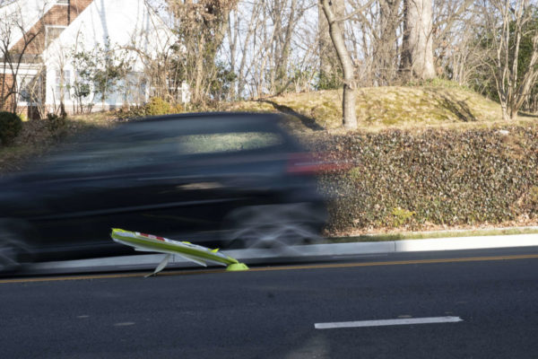
Folks may be seeing some recent changes made in the spirit of Vision Zero: Over the last year, the county has sought lower speed limits while raising fines along 11 mostly residential streets in Arlington.

The County Board also made installing speed cameras a legislative priority in the 2021 General Assembly assembly session, a move toward more equitable law enforcement that also would reduce public interactions with police officers.

According to the action plan, there are a dozen target areas to tackle, from pedestrian safety and intersections to drunk or distracted driving and speeding.

Pedestrian safety is the most at risk, according to county data. One-quarter of serious crashes and more than half of fatal crashes involved a pedestrian, though pedestrian-involved crashes account for 5% of total crashes. Bicyclists and motorcycles comprise 2% and 1%, respectively.

The plan also cites data indicating that speeding and turning-related crashes are more common than alcohol-related ones, but almost half of all fatal crashes involved alcohol and more than half occurred at night.

(more…)


View More Stories