Update at 7:35 p.m. — Arlington County’s Chief Fire Marshal has issued a “fire ban” through midnight Sunday due to the wildfire risk, according to a social media post by the fire department.
Based on current and expected weather conditions, no open burning of any type will be allowed. This includes burning of yard debris, the use of permanent or portable outdoor fireplaces and pits, chimenea, open flame cooking devices, etc.
— Arlington Fire & EMS (@ArlingtonVaFD) November 17, 2023
Earlier: The wildfire threat is continuing this weekend.
A dangerous combination of gusty winds, dry vegetation and low humidity on Saturday means that brush fires could quickly spread. As a result, the National Weather Service just issued a Fire Weather Watch for Northern Virginia.
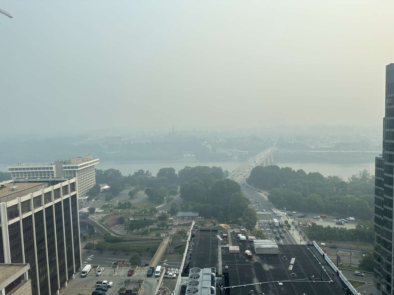
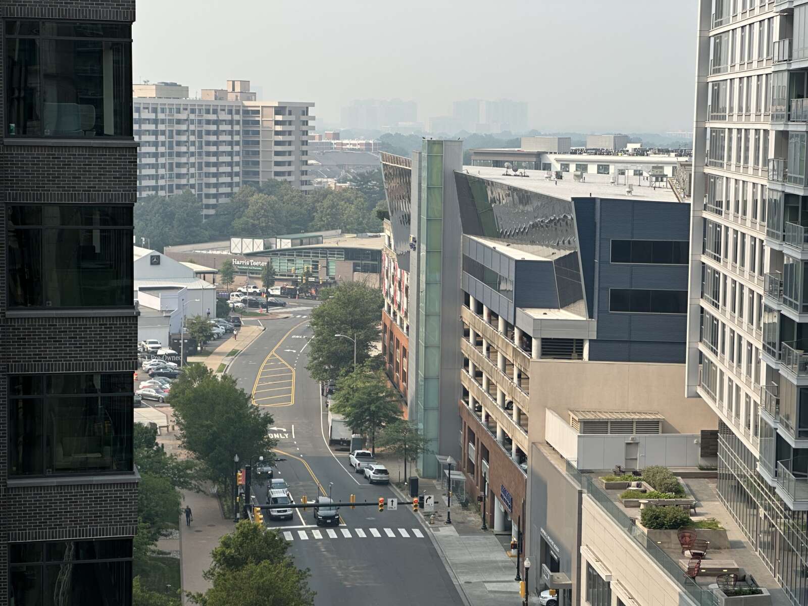
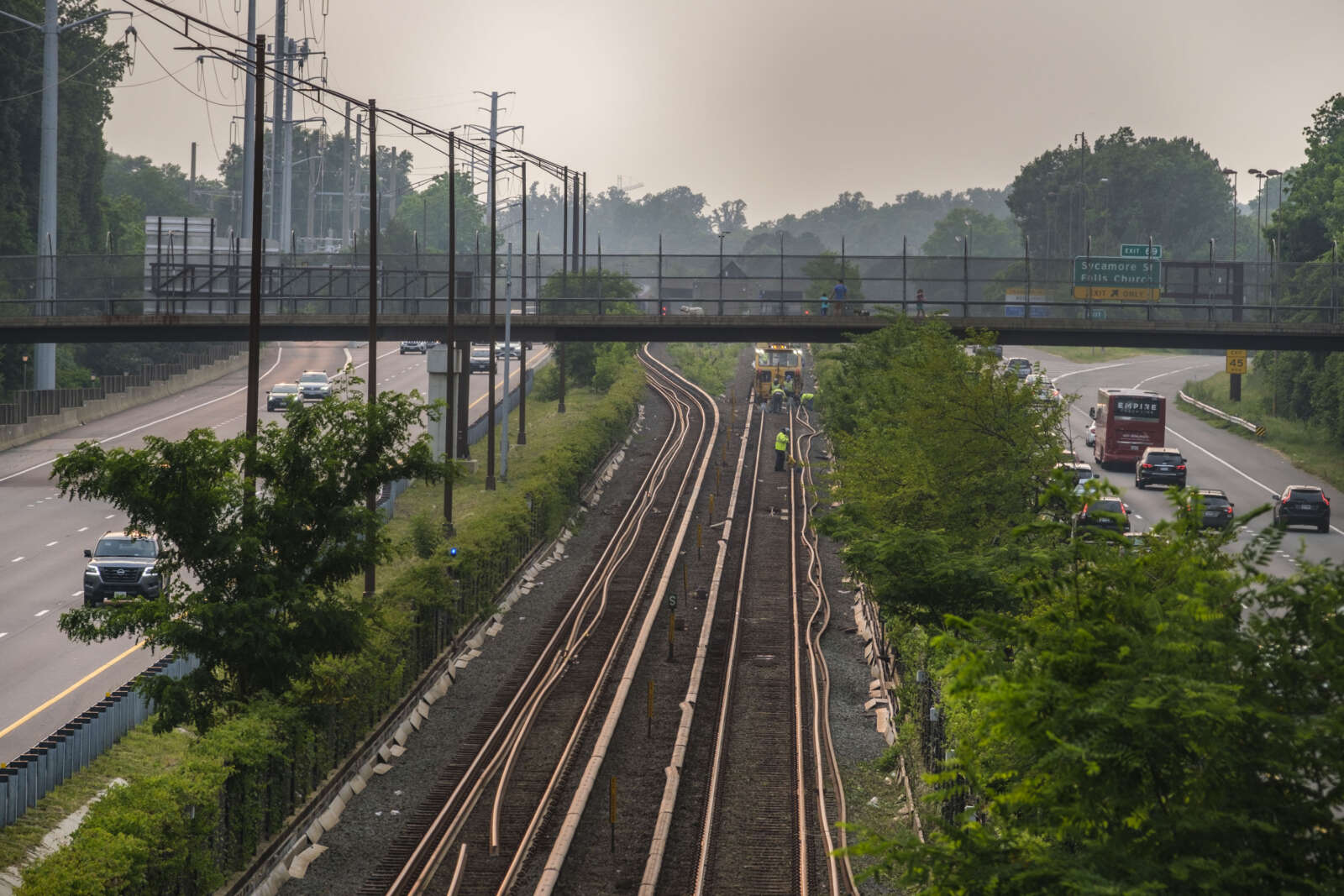
While brush fires are usually extinguished quickly in Arlington, elsewhere in Virginia fire crews have been dealing with a series of large wildfires. Gov. Glenn Youngkin declared a state of emergency last week due to ongoing wildfires, while the latest — the Matts Creek Fire near Lynchburg — is growing and expected to bring smoke to our region this afternoon.
The Matts Creek Fire near Lynchburg, Va. continues to grow & some smoke could reach the DC area later today before a cold front clears us out tonight.
Updated article: https://t.co/orIw0WxV6F
(Pictured: smoke forecast in 3-hr intervals starting at 10a-1p today ending 7-10p) pic.twitter.com/MrGOB9bBpe
— Capital Weather Gang (@capitalweather) November 17, 2023
More on the local wildfire threat, from the National Weather Service, below.
1125 AM EST Fri Nov 17 2023
…FIRE WEATHER WATCH IN EFFECT FROM SATURDAY MORNING THROUGH SATURDAY AFTERNOON FOR THE POTENTIAL OF ENHANCED SPREAD OF WILDFIRES IN CENTRAL AND NORTHERN VIRGINIA…
The National Weather Service in Baltimore MD/Washington has issued a Fire Weather Watch for the potential of enhanced spread of wildfires, which is in effect from Saturday morning through Saturday afternoon.
* WINDS…Northwest 10 to 20 mph with gusts up to 30 mph.
* RELATIVE HUMIDITY…As low as 27 percent.
* IMPACTS…The combination of dry conditions, low humidity, and strong gusty winds may result in favorable conditions for the rapid spread of fires.
* FUEL MOISTURE…10 to 15 percent for 10 hour fuels.
PRECAUTIONARY/PREPAREDNESS ACTIONS…
A Fire Weather Watch means that critical fire weather conditions may occur. Listen for later forecasts and possible Red Flag Warnings.
A Fire Weather Watch has been issued for northern & central VA for Saturday, with NW winds at 10-20 mph gusting up to 30 mph. The combination of wind & low humidity between 20-30% will lead to an increased threat for wildfire spread. An elevated fire threat continues into Sunday. pic.twitter.com/3ACKZQvh6N
— NWS Baltimore-Washington (@NWS_BaltWash) November 17, 2023


